The best gravel rides around Untersiggenthal
4.2
(246)
1,454
riders
129
rides
Gravel bike trails around Untersiggenthal traverse a diverse landscape characterized by riverine environments, forested hills, and protected natural areas. The region is situated near the "Wasserschloss," where the Aare, Reuss, and Limmat rivers converge, offering routes along their banks. Riders can explore the wooded terrain of Siggenberg and pass through various cantonal nature reserves, providing varied surfaces and scenic backdrops for gravel cycling. The area's topography includes both flat river paths and more challenging hilly sections.
Best gravel bike trails…
Last updated: July 9, 2026
4.6
(5)
23
riders
39.3km
03:51
880m
880m
This 24.5-mile gravel loop through Siggenthal offers a challenging ride with 2887 feet of elevation gain and scenic views.
4.6
(8)
61
riders
30.8km
02:20
540m
540m
Hard gravel ride. Very good fitness required. Mostly paved surfaces. Suitable for all skill levels.

Sign up for free
4.7
(41)
262
riders
41.0km
02:14
140m
140m
Moderate gravel ride. Good fitness required. Mostly paved surfaces. Suitable for all skill levels.
4.7
(6)
37
riders
36.0km
02:28
540m
540m
Hard gravel ride. Very good fitness required. Mostly paved surfaces. Suitable for all skill levels.
4.0
(1)
16
riders
39.9km
03:24
960m
960m
Hard gravel ride. Very good fitness required. Mostly paved surfaces. Suitable for all skill levels.
Get access to more routes and recommendations from other explorers.
Sign up for free
Already have an account?
Our route recommendations are based on thousands of hikes, rides, and runs completed by other people on komoot.
Start today with a free account
Your next adventure awaits.
Login or Signup
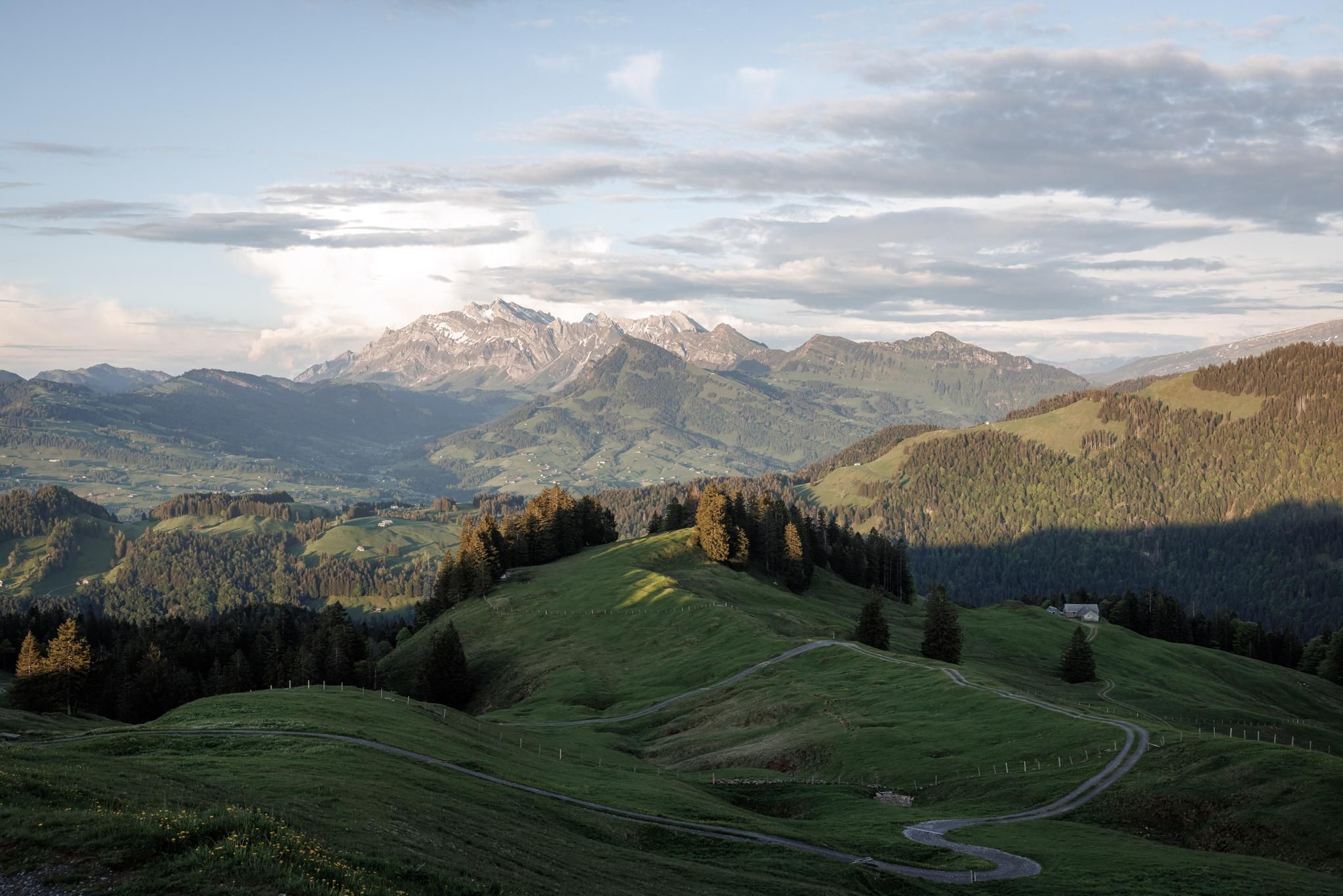
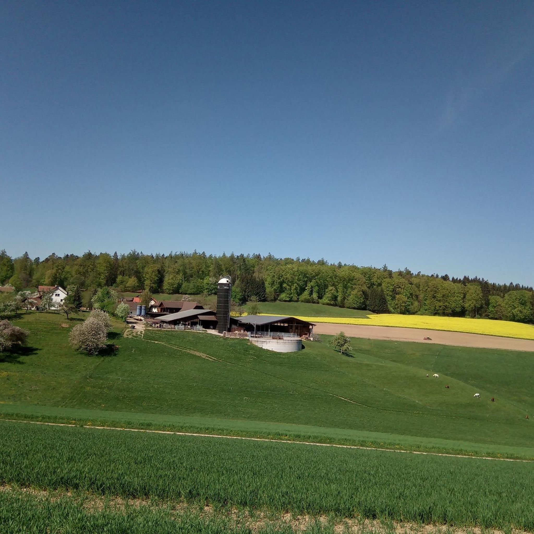
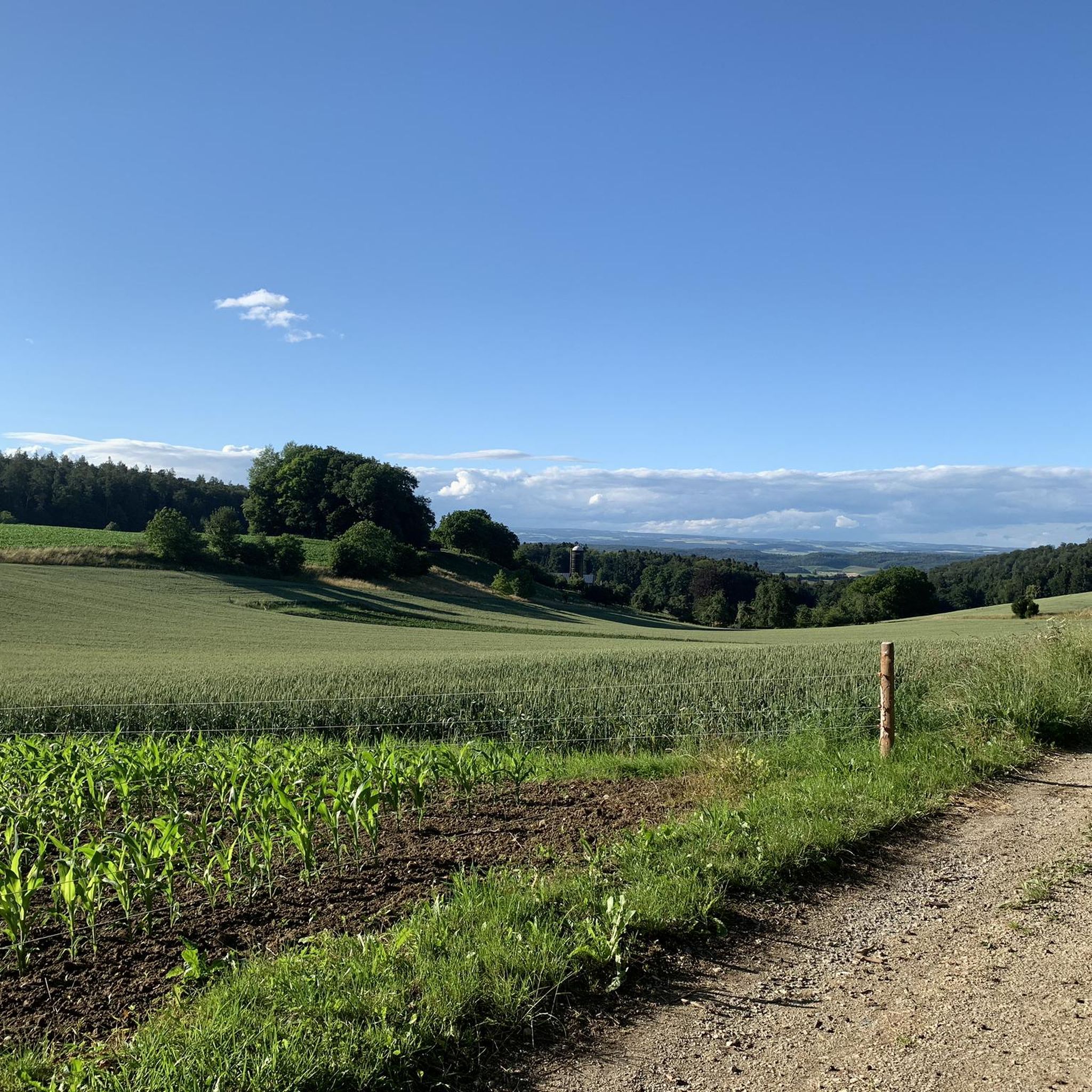
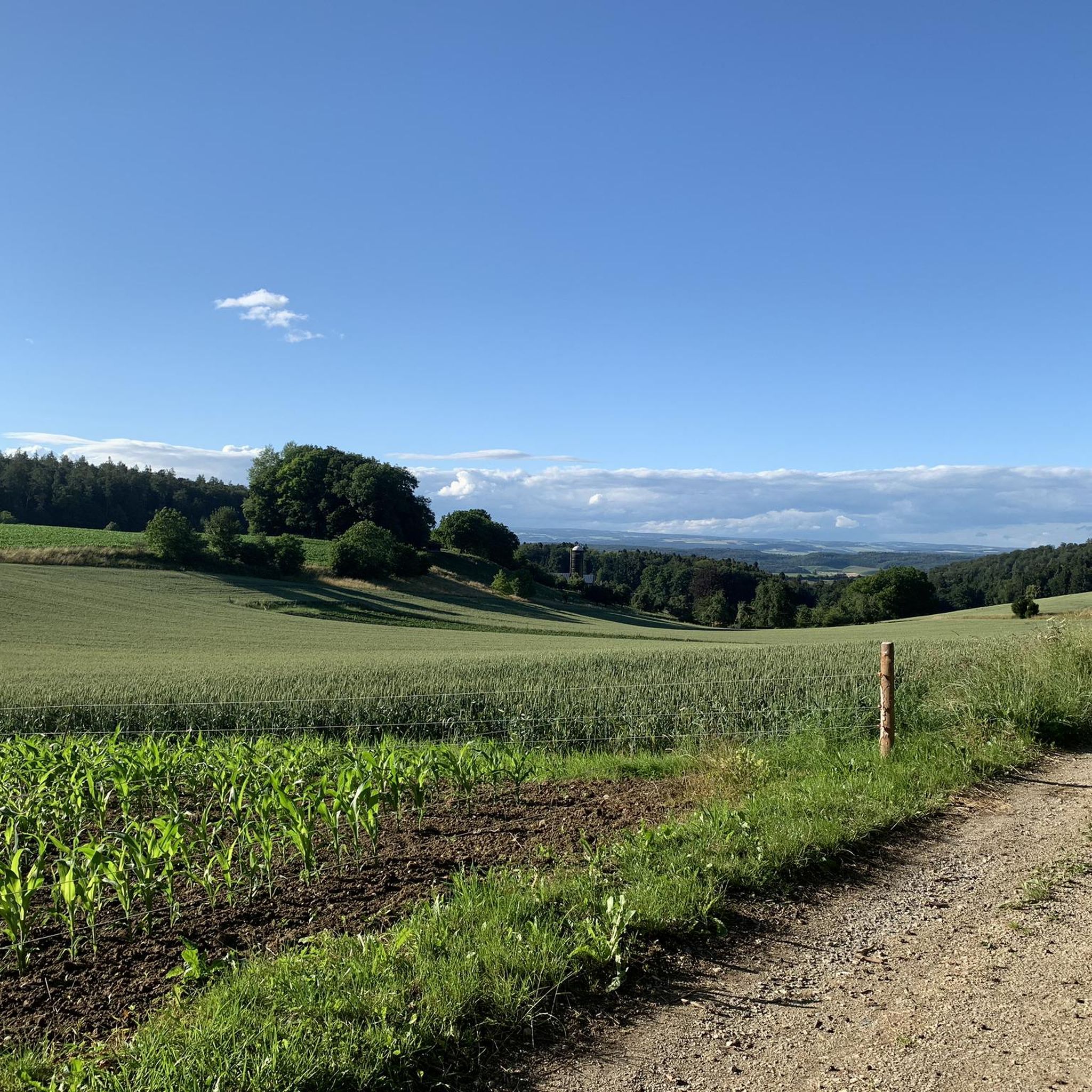
Other adventures around Untersiggenthal

Tips from the Community

Very nice biker and hiking area. Everyone will find a suitable path or trail. And there, at Lägeriweid, it is so quiet.
0
0
A simple riverside path easy to ride, without obstacles. The landscape here is also beautiful.
0
0
Aareuferweg always nice to ride. Sometimes it's narrow trails, but much more often wide gravel paths where you can easily pass each other without having to dismount.
1
0

It's always very nice here. I like to come back
1
0
always beautiful here. Is always worth a visit
2
0
always a very great tour again
2
0
always a very great tour
1
0
rewarding tour in beautiful scenery.
1
0
Frequently Asked Questions
How many gravel bike trails are available around Untersiggenthal?
There are nearly 200 gravel bike trails around Untersiggenthal, offering a wide range of options for different skill levels. You'll find everything from easy riverside paths to challenging climbs through forested hills.
What kind of terrain can I expect on gravel bike trails in Untersiggenthal?
Untersiggenthal's gravel trails feature a diverse landscape. You'll encounter riverine environments, forested hills like the Siggenberg, and paths through protected natural areas. The region is known for its mix of flat sections along rivers and more challenging hilly terrain with significant elevation changes.
Are there any easy gravel bike routes suitable for beginners in Untersiggenthal?
Yes, while many routes are moderate to difficult, there are 5 easy gravel bike trails available around Untersiggenthal. These typically follow flatter sections along the rivers or through less challenging forested areas, perfect for those new to gravel biking.
What are some scenic viewpoints or natural features to look out for on gravel trails in Untersiggenthal?
Many routes offer extensive views of the Aare river, especially around the 'Wasserschloss' region where the Aare, Reuss, and Limmat rivers converge. You might also pass impressive natural monuments like the Linner Lime Tree, or cycle through diverse nature reserves with unique flora and fauna. The View of the Aare – Sennhütte Sennhütten loop from Turgi is a great option for river views, and the Linner Lime Tree – Schenkenberg Castle Ruins loop from Siggenthal-Würenlingen takes you past the ancient tree.
Are there any circular gravel bike routes in Untersiggenthal?
Yes, many of the gravel bike trails in Untersiggenthal are designed as loops, allowing you to start and end at the same point. Examples include the challenging Lägerenweid – Baden City Tower loop from Turgi and the longer Coronado Crash Memorial – Klingnau Reservoir loop from Turgi.
What do other gravel bikers say about the trails in Untersiggenthal?
The gravel biking routes in Untersiggenthal are highly rated by the komoot community, with an average score of 4.4 stars from over 260 reviews. Riders often praise the varied terrain, the scenic river views, and the well-maintained paths through both forested and open landscapes.
Can I find any waterfalls along the gravel bike routes in Untersiggenthal?
While not directly on every gravel route, the region around Untersiggenthal features several beautiful waterfalls that you could visit as a detour or combine with a ride. Notable ones include the Itelemühle and Waterfall and the Waterfall and Old Gypsum Mill on the Reuss.
Are there any interesting caves or natural reserves to explore near the gravel trails?
Yes, the area boasts several natural reserves and caves. The Teufelskeller Nature Reserve is a significant natural area, and you can also find caves like the Walhalla Cave and Picnic Area or the Heidewybliloch Cave, which offer unique points of interest off the main trails.
What is the best time of year for gravel biking in Untersiggenthal?
Based on community activity, April and June are particularly popular months for cycling in the Untersiggenthal region. The spring and early summer offer pleasant temperatures and lush green landscapes, making it an ideal time to explore the gravel trails.
Are there any long-distance gravel routes available in Untersiggenthal?
Yes, for those seeking longer rides, Untersiggenthal offers several extensive gravel routes. The Coronado Crash Memorial – Klingnau Reservoir loop from Turgi, for example, is over 114 km long and features significant elevation gain, providing a full day's adventure.
What are the difficulty levels of gravel biking routes in Untersiggenthal?
The routes around Untersiggenthal cater to various skill levels. You'll find 5 easy routes, 82 moderate routes, and 108 difficult routes. The difficult routes often involve significant elevation gains and varied terrain, suitable for experienced gravel bikers, while moderate options provide a good balance of challenge and accessibility.
Most popular routes around Untersiggenthal
Most popular attractions around Untersiggenthal

Get inspired with the komoot mobile app


Explore more
Browse the best Gravel rides in other regions.
