The best gravel rides around Neckertal
4.5
(43)
256
riders
42
rides
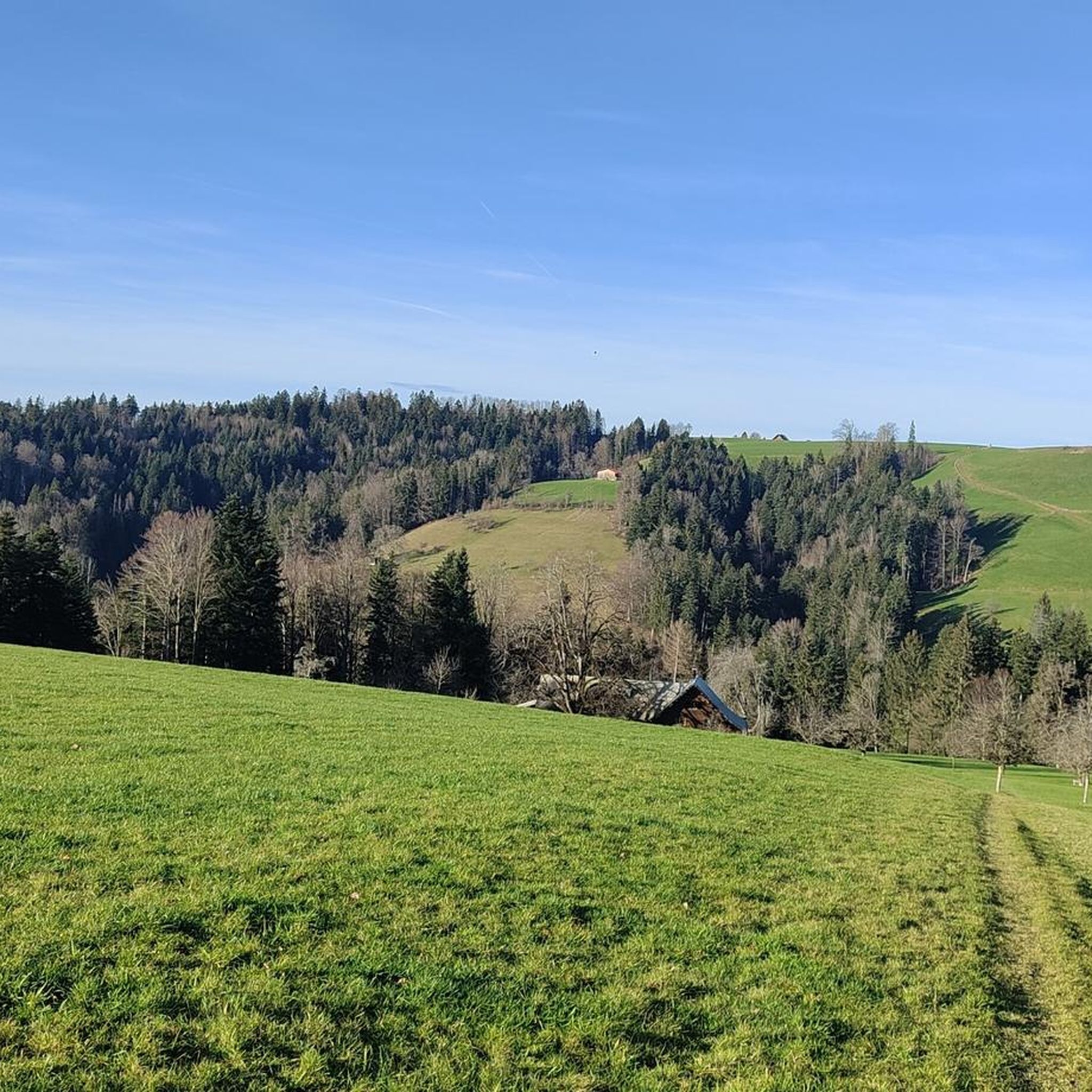
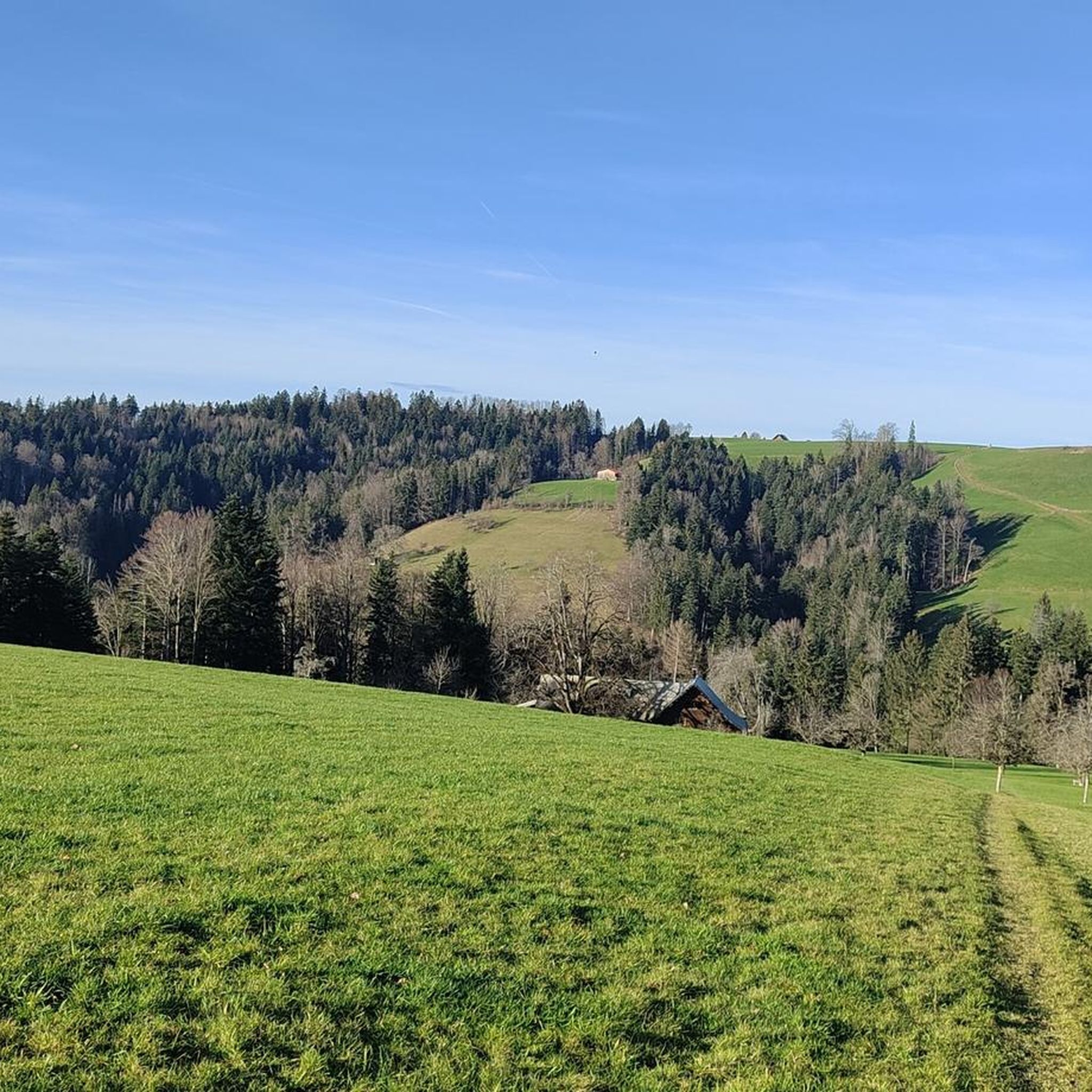
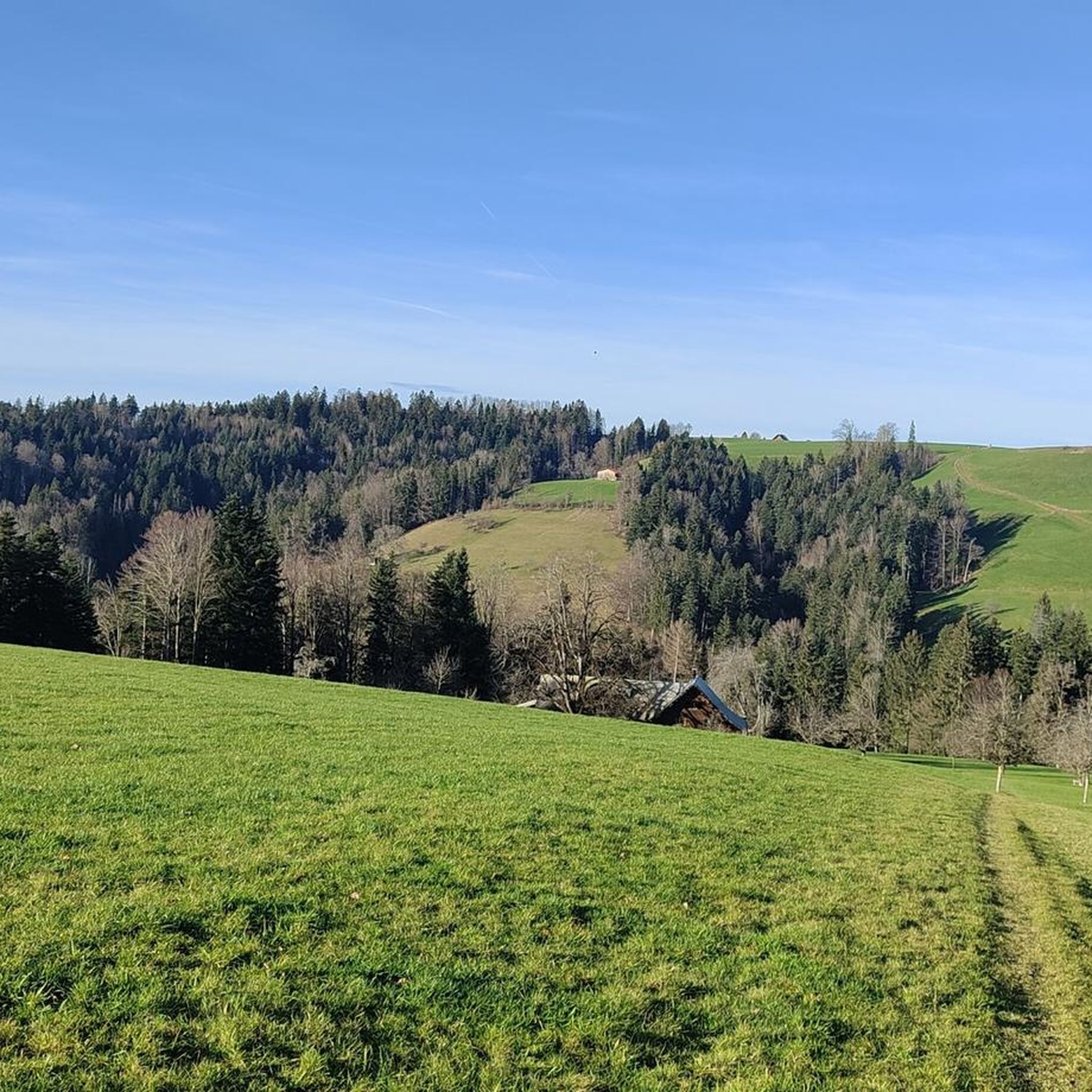
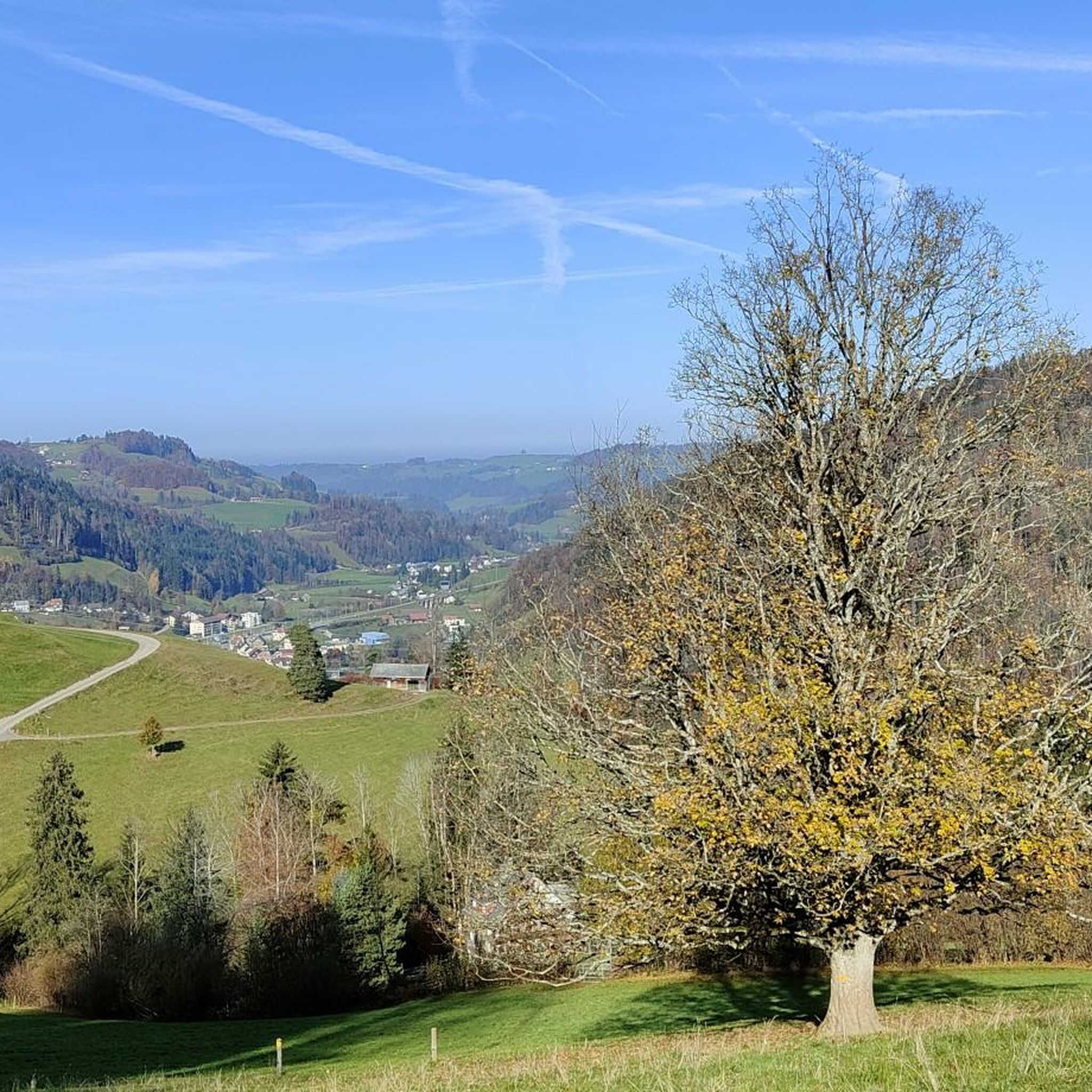
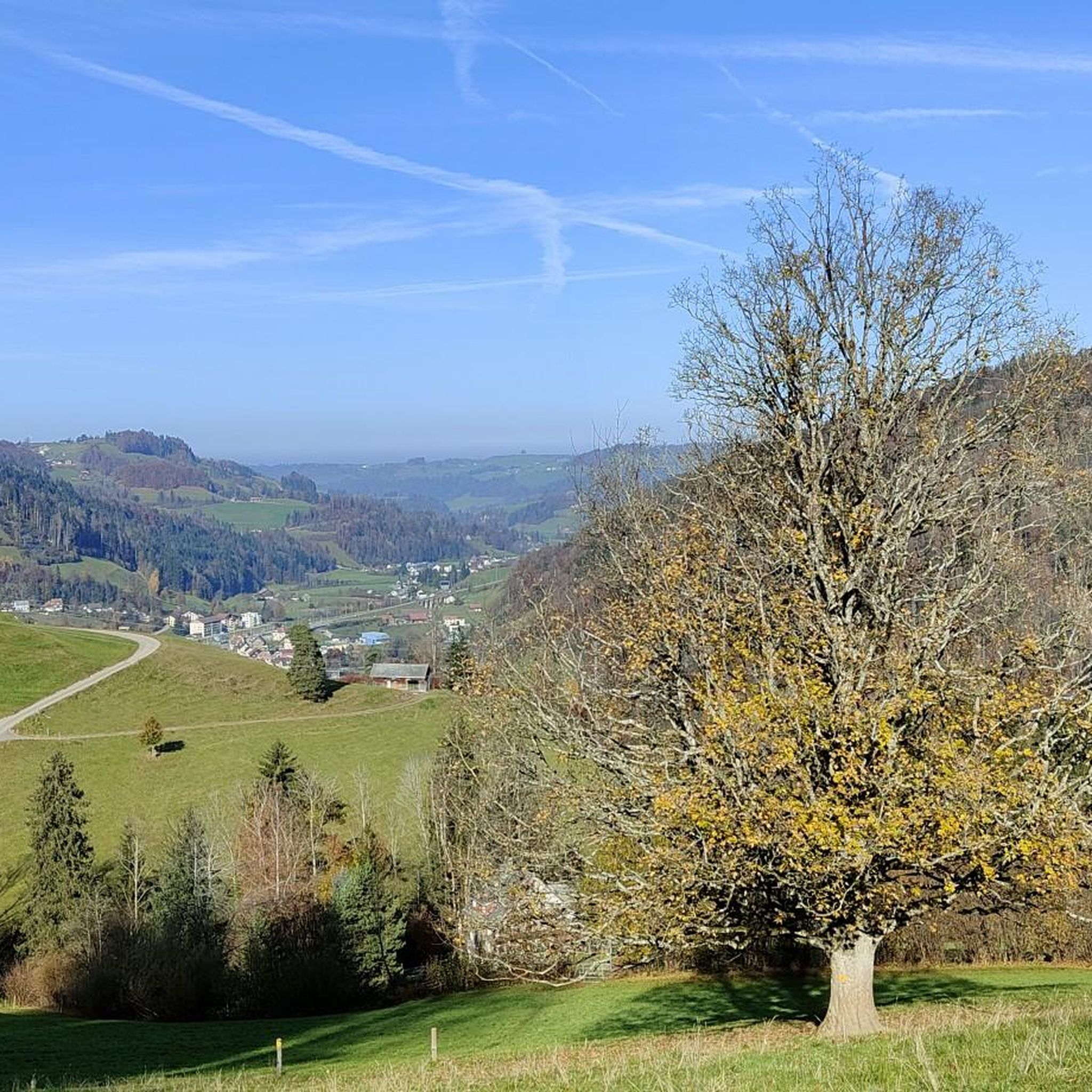
Gravel biking around Neckertal offers diverse terrain situated between Toggenburg and Appenzellerland, at the foot of the Säntis massif. The region features rural mountain valleys, dense forests, and verdant meadows, with the Necker river winding through a mosaic of landscapes. Riders can expect a mix of unpaved roads and forest paths across rolling hills and nationally important moor landscapes. The topography includes both alpine and pre-alpine characteristics, providing varied elevation profiles.
Best gravel bike trails around Neckertal
- The most popular…
Last updated: October 19, 2026
5.0
(1)
23
riders
51.6km
04:01
1,460m
1,460m
Hard gravel ride. Very good fitness required. Mostly paved surfaces. Suitable for all skill levels.
13
riders
Moderate gravel ride. Good fitness required. Mostly paved surfaces. Suitable for all skill levels.

5.0
(4)
17
riders
56.9km
03:45
560m
560m
Hard gravel ride. Very good fitness required. Mostly paved surfaces. Suitable for all skill levels.
4.0
(2)
19
riders
13.1km
00:46
130m
130m
Easy gravel ride. Great for any fitness level. Mostly paved surfaces. Suitable for all skill levels.
4.0
(2)
8
riders
33.9km
02:26
610m
610m
Hard gravel ride. Very good fitness required. Mostly paved surfaces. Suitable for all skill levels.
Get access to more routes and recommendations from other explorers.
Already have an account?
Our route recommendations are based on thousands of hikes, rides, and runs completed by other people on komoot.
Start today with a free account
Your next adventure awaits.


Other adventures around Neckertal

Tips from the Community

Really evocative wooden bridge
0
0

Historic village center
5
0

Very beautiful, well-preserved old and stately houses.
0
0
Sometimes you can see the closer mountains better, e.g. the Speer.
0
0

In the Netherlands, that could actually pass as a passport. Someone has gone way overboard here.
1
0

If you are cycling along the Thur river on gravel, you will have to drive under this bridge.
1
0

It is always worth it on the Säntis, you really feel it
0
0
Frequently Asked Questions
How many gravel bike trails are available in Neckertal?
Neckertal offers a wide selection of gravel biking routes, with over 70 trails available for exploration. These routes cater to various skill levels, from moderate paths to more challenging rides with significant elevation gains.
What kind of terrain can I expect on gravel bike trails in Neckertal?
The Neckertal region, nestled between Toggenburg and Appenzellerland, features diverse terrain. You'll encounter picturesque rural mountain valleys, dense forests, and verdant meadows. The routes often follow the Necker river, winding through a mosaic of landscapes, including rolling hills and nationally important moor landscapes. Expect a mix of unpaved roads and forest paths, with both alpine and pre-alpine characteristics providing varied elevation profiles.
Are there any family-friendly gravel biking routes in Neckertal?
Yes, Neckertal has several options suitable for families or those looking for an easier ride. There are 6 easy gravel bike tours available. While specific family-themed routes aren't detailed, the region's varied landscape includes many paths that are less demanding, allowing for a pleasant outing. For a general idea of the area's character, you might explore routes that stick to river valleys or flatter sections.
Can I find routes with significant elevation gain for a more challenging gravel ride?
Absolutely. For experienced gravel bikers seeking a challenge, Neckertal offers 47 difficult routes with significant elevation gains. One such demanding route is the Hochhamm Mountain Restaurant – View of the Säntis North Face loop from Schönengrund, which covers 32.1 miles (51.6 km) and features substantial climbing, offering rewarding views towards the Säntis massif.
What are some scenic viewpoints or natural features I can see while gravel biking in Neckertal?
Neckertal is rich in natural beauty and offers numerous scenic spots. You can enjoy panoramic views of the Alpstein massif and the Speer area. The region is also home to a nationally important moor landscape, known for its biodiversity. For specific landmarks, consider visiting the Thur Suspension Bridge near Thurau or exploring the dramatic Ofenloch Gorge, often called the 'Grand Canyon of Eastern Switzerland'.
Are there any circular gravel bike routes in the Neckertal region?
Yes, many gravel bike routes in Neckertal are designed as loops, allowing you to start and end at the same point. A popular moderate circular route is the Along the Thur River – Hauptwil Pond loop from Uzwil, which is 22.8 miles (36.7 km) long and takes about 2 hours 15 minutes to complete.
Where can I find places to eat or rest along the gravel trails in Neckertal?
While specific cafes directly on every trail aren't listed, the region offers various opportunities for refreshments. You might find options near villages or at specific points of interest. For example, the Restaurant at Hundwiler Höhi is a notable spot where you can take a break and refuel.
What are some unique natural attractions accessible by gravel bike in Neckertal?
Beyond the general scenic beauty, Neckertal boasts unique natural attractions. The Ofenloch Gorge, where the Necker river originates, is a wild and impressive rock landscape. You can also discover the Brudertobel Cave with Waterfall, offering a glimpse into the region's hidden natural wonders.
What do other gravel bikers enjoy the most about gravel biking in Neckertal?
The komoot community highly rates gravel biking in Neckertal, with an average score of 4.2 stars from over 45 reviews. Riders often praise the region's 'landscape innocence,' the diverse terrain, and the stunning backdrop of the Churfirsten mountain range and the Säntis massif. The mix of unpaved roads, forest paths, and river valleys provides a rewarding and varied experience.
Are there any routes that follow the Necker River?
Yes, the landscape of Neckertal is shaped by the Necker river, and many routes naturally follow its course. The river meanders through a mix of meadows, forests, and slopes, offering picturesque views. While not explicitly named 'Necker River Trail' in all cases, the general topography means you'll often be riding alongside or near the river.
Can I combine gravel biking with other activities, like visiting a treetop walk?
Yes, you can easily combine your gravel biking adventure with other attractions. The Baumwipfelpfad Neckertal (Treetop Walk Neckertal) in Mogelsberg is a unique experience, allowing you to walk among tree crowns up to 55 meters high with panoramic views. It's a great way to experience the forest from a different perspective and is accessible for all ages.
Are there any longer gravel routes for extended rides in Neckertal?
For those looking for longer rides, Neckertal offers several options. A challenging route that covers a significant distance is the View of the River Thur – Thur Riverside Trail loop from Uzwil, which spans 57.0 miles (91.8 km) and includes considerable elevation gain, making it suitable for an extended gravel biking adventure.
Most popular routes around Neckertal
Most popular attractions around Neckertal

Get inspired with the komoot mobile app


Explore more
Browse the best Gravel rides in other regions.
