The best gravel rides around Gurtnellen
4.3
(22)
433
riders
9
rides
Gravel biking around Gurtnellen offers diverse landscapes within the upper Urner Reuss Valley, characterized by alpine terrain, valleys, and natural features. The region provides a network of trails suitable for various skill levels, from less demanding paths to challenging alpine routes. Its geographical location in the canton of Uri ensures a blend of natural beauty and accessible adventure for gravel cyclists.
Best gravel bike trails around Gurtnellen
- The most popular gravel bike trail is Gotthard, Furka and Nufenen Passes,…
Last updated: July 2, 2026
5.0
(5)
208
riders
107km
09:31
3,140m
3,140m
Hard gravel ride. Very good fitness required. Mostly paved surfaces. Suitable for all skill levels.
7
riders
14.0km
01:28
380m
380m
Moderate gravel ride. Good fitness required. Mostly paved surfaces. Suitable for all skill levels.

Sign up for free
16
riders
153km
12:18
3,420m
3,420m
Hard gravel ride. Very good fitness required. Mostly paved surfaces. Suitable for all skill levels.
4.7
(7)
28
riders
27.5km
02:30
840m
840m
Hard gravel ride. Very good fitness required. Mostly paved surfaces. Suitable for all skill levels.
3.7
(3)
42
riders
34.3km
01:48
100m
100m
Easy gravel ride. Great for any fitness level. Mostly paved surfaces. Suitable for all skill levels.
Get access to more routes and recommendations from other explorers.
Sign up for free
Already have an account?
Our route recommendations are based on thousands of hikes, rides, and runs completed by other people on komoot.
Start today with a free account
Your next adventure awaits.
Login or Signup
Popular around Gurtnellen
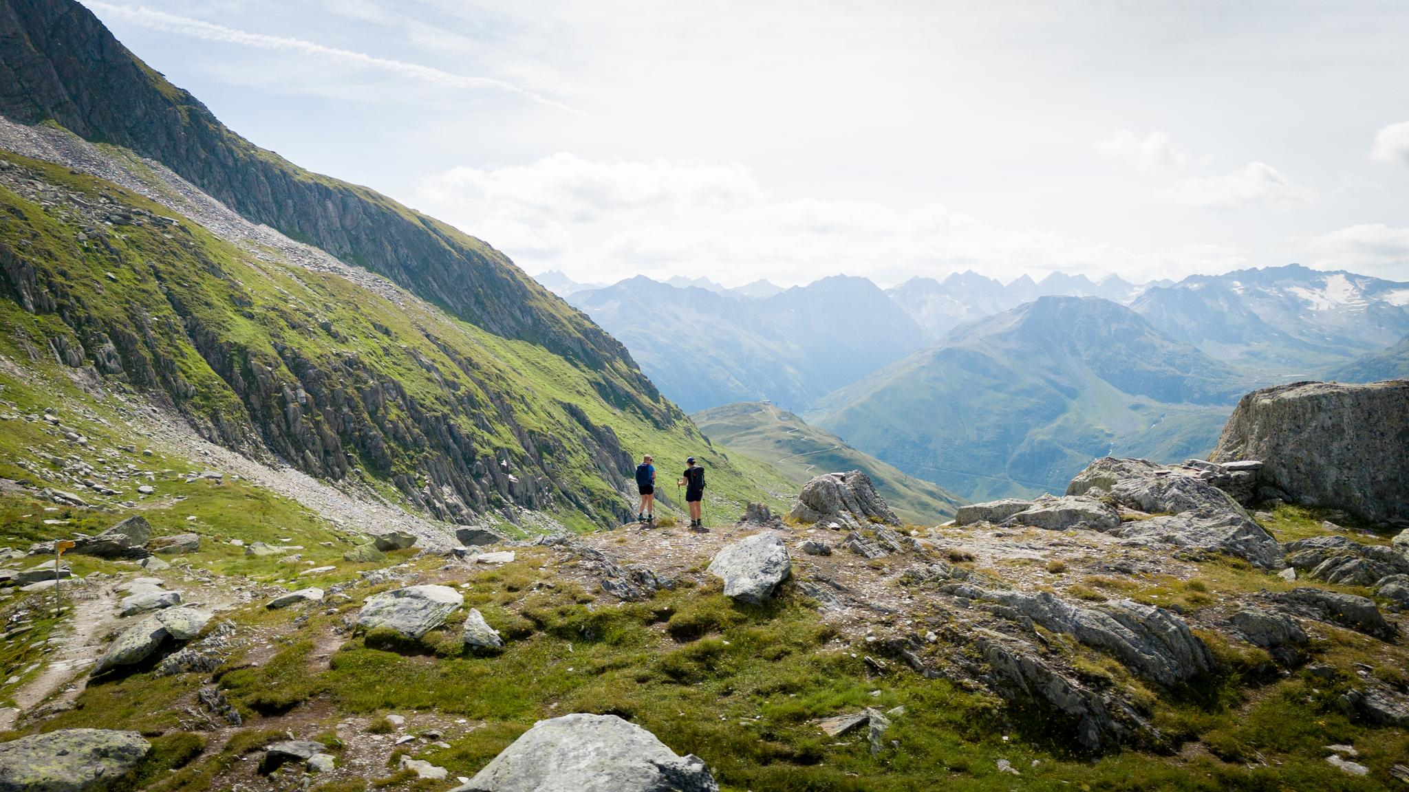
On the hunt for crystals and alpine lake magic – Gotthard Crystal Trek
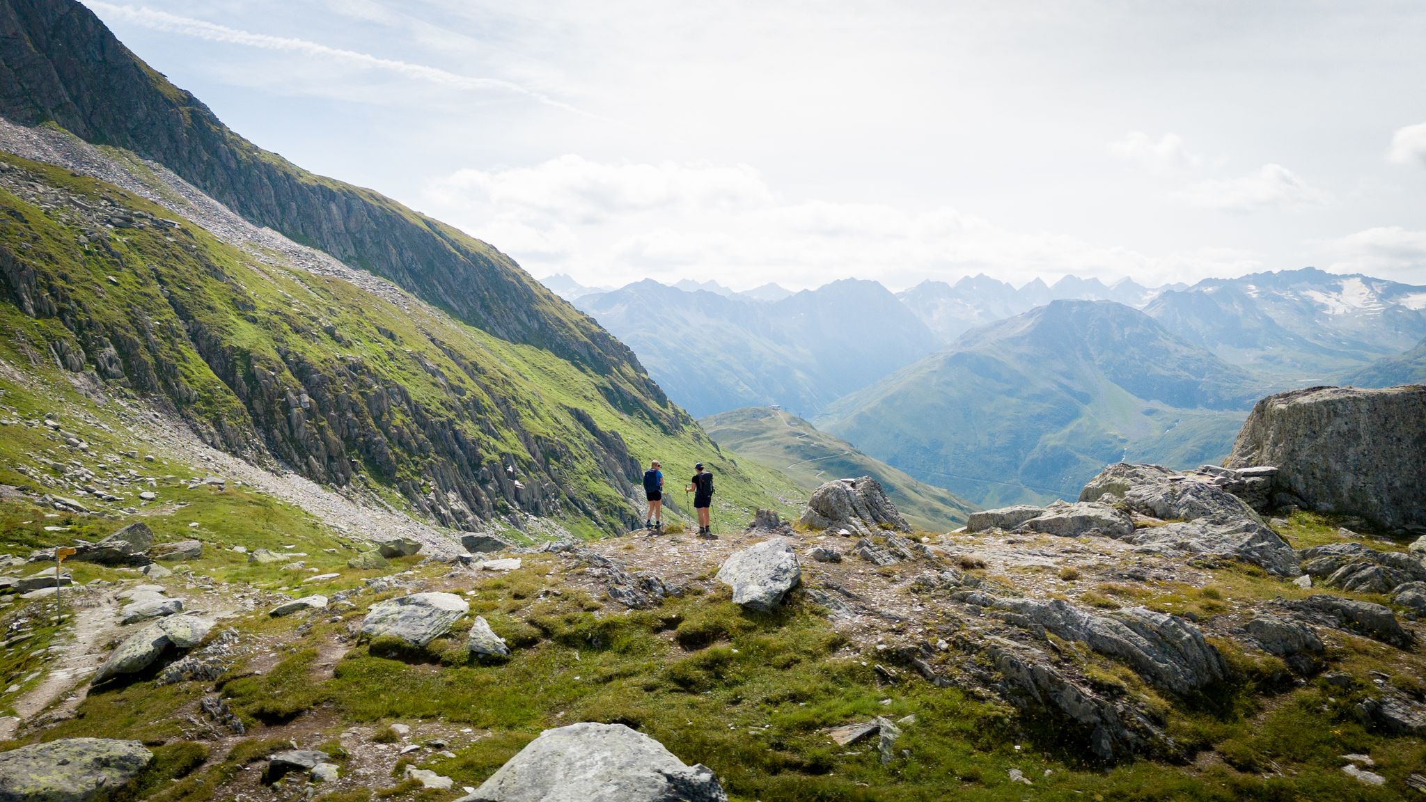
On the hunt for crystals and alpine lake magic – Gotthard Crystal Trek
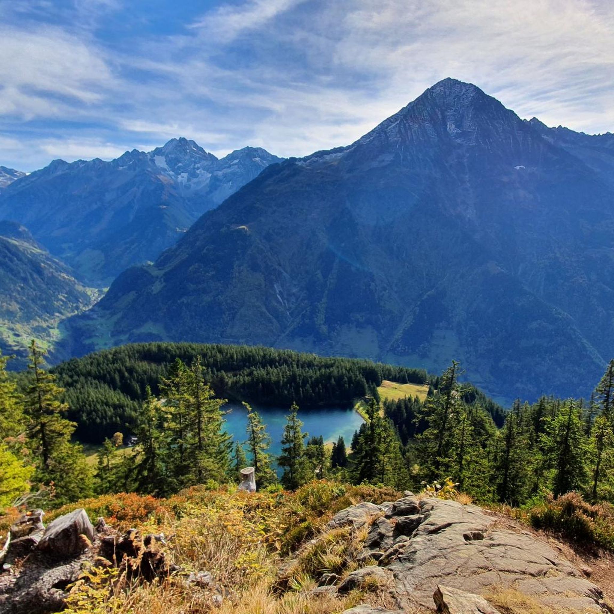
Hiking around Gurtnellen
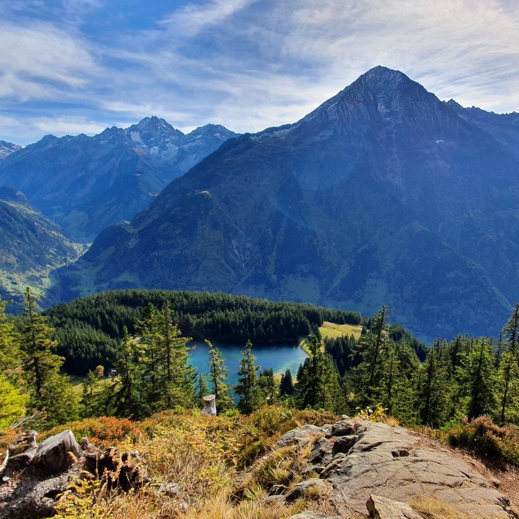
MTB Trails around Gurtnellen
Road Cycling Routes around Gurtnellen
Cycling around Gurtnellen
Running Trails around Gurtnellen
Mountain Hikes around Gurtnellen


Tips from the Community

The Gotthard Pass is one of Switzerland's most famous and historic alpine passes. Located at an altitude of 2,106 meters above sea level in the Lepontine Alps, it connects Central Europe to Southern Europe. Specifically, it serves as a direct road link between the canton of Ticino (Airolo) and the canton of Uri (Hospental). The summit and massif can be crossed in several ways depending on travel needs: The New Pass Road: It is the modern and asphalted road variant, scenic and smooth during the summer months. The Tremola: The famous historic southern slope, characterized by 24 hairpin bends paved with porphyry, much loved by cyclists, motorcyclists, and nostalgics. The Road Tunnel (A2): The 16.9 km long motorway tunnel, open all year round, fast but often subject to traffic and queues. The Railway Tunnels: Including the pioneering tunnel from 1882 and the modern Gotthard Base Tunnel, at very high speed.
0
0


The Furka Pass is a 2,429 m high Swiss road pass in the Alps. It connects the Urseren Valley (the upper valley of the Reuss River) in the canton of Uri with the Goms district in the canton of Valais. It straddles the European watershed between the Mediterranean Sea and the North Sea. Source: Furka Pass – Wikipedia https://share.google/zJGI3KsPRtARfpYje
6
0

St. Gotthard Pass The Gotthard Pass divides waterways and connects various cultural and linguistic areas. Its significance as an "Alpine transversal" began at the beginning of the 13th century with the construction of the legendary Devil's Bridge in the Schöllenen Gorge. For many centuries, trade caravans (trading cattle and cheese for grain, wine, rice, and salt), mercenaries, messengers, and even entire armies crossed the pass. Between 1818 and 1836, the canton of Uri, with the help of other cantons, expanded the pass road, thus achieving its predominance among Swiss Alpine passes. The Gotthard Pass has significantly shaped the economy and culture of Central Switzerland for centuries. Until the opening of the Gotthard Railway in 1882, the Gotthard Pass was also used in winter. Dozens of roadmen and shovel workers were employed for this purpose. In 1922, the post bus replaced the stagecoach, and with the introduction of gasoline duties in 1923, the expansion of the pass roads began, continuing to this day. The old pass road on the south side, the Tremola between the top of the pass and Airolo, is still preserved and passable. This stretch of road recalls more tranquil journeys over the Gotthard that occurred not so long ago. In the 19th and 20th centuries, the Gotthard Pass was "condensed" into a myth, a symbol of Switzerland's independence, unity, and identity. Text / Source: Interest Group for Alpine Passes IAP, PO Box 11, 6491 Realp https://alpen-paesse.ch/de/alpenpaesse/gotthardpass
15
1


Sedrun, in the heart of the Tujetsch Valley, is an unmissable stop along the Senda Sursilvana. Splendid hiking trails depart from here, passing through forests, mountain pastures, and spectacular Alpine panoramas. It's the ideal spot for those who love walking in the unspoiled nature of the Surselva.
2
0

Refreshingly windy, with a self-service restaurant for a final beer.
0
0

Nice place and good restaurants
0
0
Frequently Asked Questions
How many gravel bike trails are available around Gurtnellen?
Gurtnellen offers a selection of 11 gravel bike routes, catering to various skill levels. You'll find 1 easy, 3 moderate, and 7 difficult trails to explore.
Are there any family-friendly gravel bike routes in Gurtnellen?
Yes, Gurtnellen has options suitable for families. The region offers routes described as 'technically hardly demanding,' making them accessible. For a moderate option, consider the Jagdmatt Chapel – Pretty, easy S0 trail loop from Erstfeld, which is 36.7 km long and takes about 2 hours 30 minutes. Additionally, the Adventure Trail Gurtnellen, while not exclusively a bike trail, winds along the Reuss River with playgrounds and rest areas that families might enjoy.
What kind of terrain can I expect on gravel bike trails in Gurtnellen?
The terrain around Gurtnellen is diverse, ranging from paved roads to gravel paths. You'll encounter alpine passes, sections within the Urner Reuss Valley, and secluded side valleys. Routes vary from easy S0 trails to more challenging alpine climbs with significant elevation gain, such as those found on the multi-pass tours.
Are there any circular gravel bike routes in the area?
Yes, several routes are designed as loops. For example, the Jagdmatt Chapel – Pretty, easy S0 trail loop from Erstfeld is a moderate 36.7 km circular trail. Another option is the Oberalp, Lukmanier and Gotthard Passes - Alpine passes round tour from Andermatt, which is a difficult 152.9 km loop traversing multiple alpine passes.
What natural features or landmarks can I see along the gravel bike trails?
Gurtnellen is rich in natural beauty and historical landmarks. You can encounter impressive alpine scenery, including views of peaks like Mount Bristen. Notable attractions include the Schöllen Gorge and the historic Devil's Bridge (Teufelsbrücke). The region also features the serene Arnisee (Lake Arni) and the Sunnig Grat area with its mountain lake. The Russian Monument at the Gotthard Pass is another significant landmark you might pass.
Are there any easy gravel bike trails for beginners?
Yes, there are easier options. While many routes involve alpine challenges, some are described as 'technically hardly demanding.' The guide lists one easy route and several moderate ones, such as the Short Round, a 14.0 km path that can be completed in about 1 hour 28 minutes, offering a quicker exploration of the local terrain.
What do other gravel bikers say about the trails in Gurtnellen?
The gravel biking routes in Gurtnellen are highly regarded by the komoot community, holding an average rating of 4.0 stars from over 20 reviews. Many of the 400+ gravel bikers who have explored the area praise the diverse landscapes and the blend of challenging alpine routes with more accessible paths.
Can I access Gurtnellen's gravel trails using public transport?
Gurtnellen is situated in the upper Urner Reuss Valley, a region known for its accessibility. While specific public transport starting points for each gravel route are not detailed here, the broader Swiss Alps region is generally well-served by public transport, including the Gotthard mountain line, which can facilitate access to the area.
Are there any specific viewpoints or scenic spots along the routes?
Absolutely. The region is known for its stunning alpine scenery. The Sunnig Grat area offers spectacular views, and the Meiental provides wonderful alpine vistas of prominent peaks like Bristen and Windgällen. The Pazolastock Summit is a notable highlight for panoramic views.
What is the longest gravel bike route available in Gurtnellen?
The longest gravel bike route listed is the Oberalp, Lukmanier and Gotthard Passes - Alpine passes round tour from Andermatt, which spans 152.9 km and involves significant elevation gain, typically taking over 12 hours to complete.
Are there any huts or shelters along the gravel biking trails?
Yes, the Gurtnellen area, being in the Swiss Alps, features several huts that can serve as resting points or shelters. Notable examples include the Maighelshütte, Windgällen Hut, and Salbithütte. These can be excellent spots for a break or to enjoy the mountain environment.
Are there any educational trails or nature paths in Gurtnellen?
Yes, the Schöllenen Gorge Cycle Path offers an opportunity to experience the dramatic gorge. Additionally, the Geissberg Nature Trail provides information boards about avalanche protection and local flora and fauna, offering an educational experience alongside your ride or hike.
Most popular routes around Gurtnellen
Most popular attractions around Gurtnellen

Get inspired with the komoot mobile app


Explore more
Browse the best Gravel rides in other regions.
