The best gravel rides around Trüllikon
4.3
(91)
406
riders
83
rides
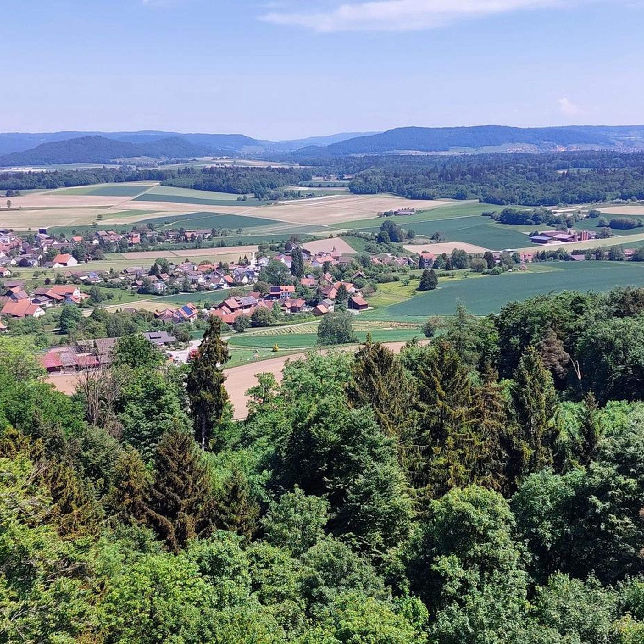
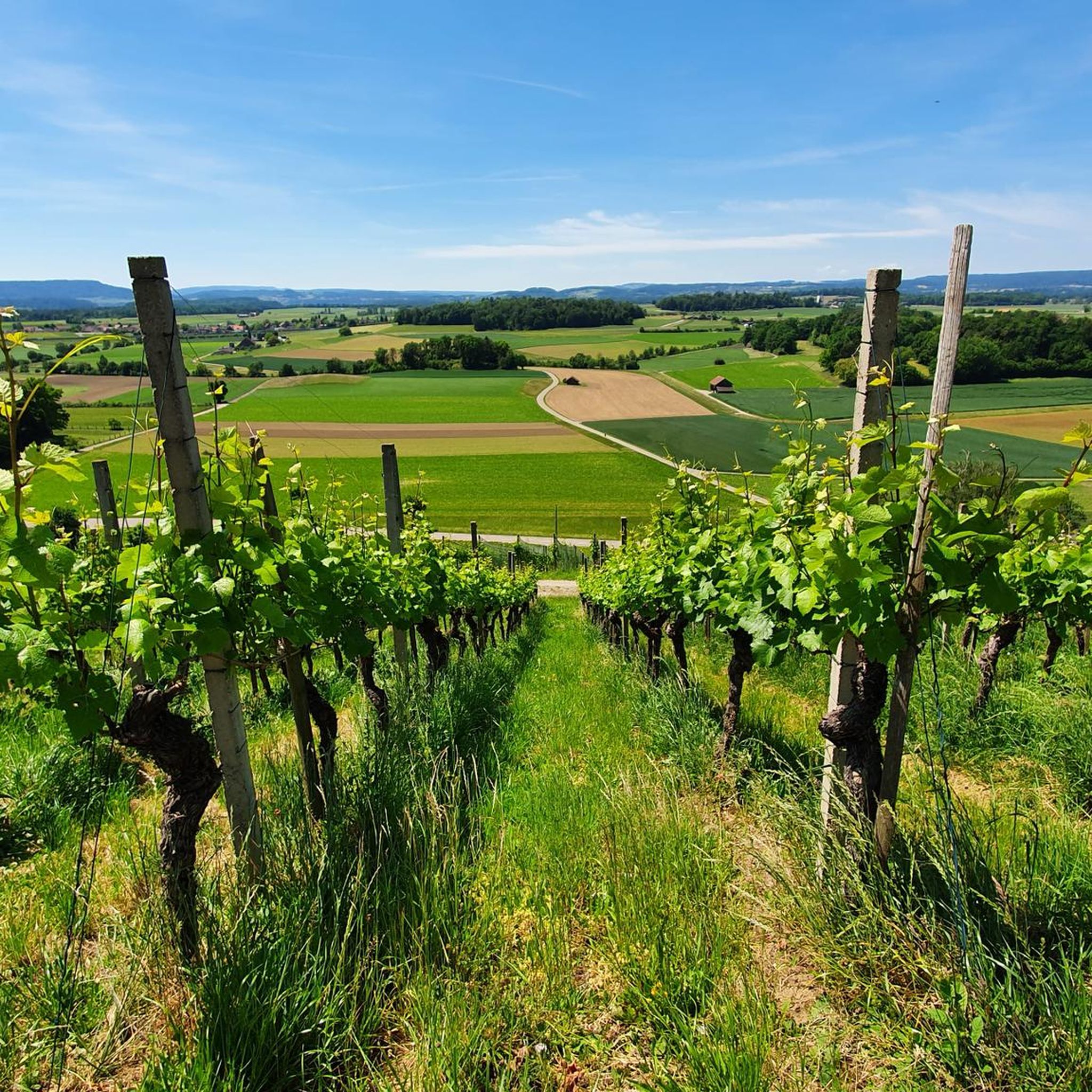
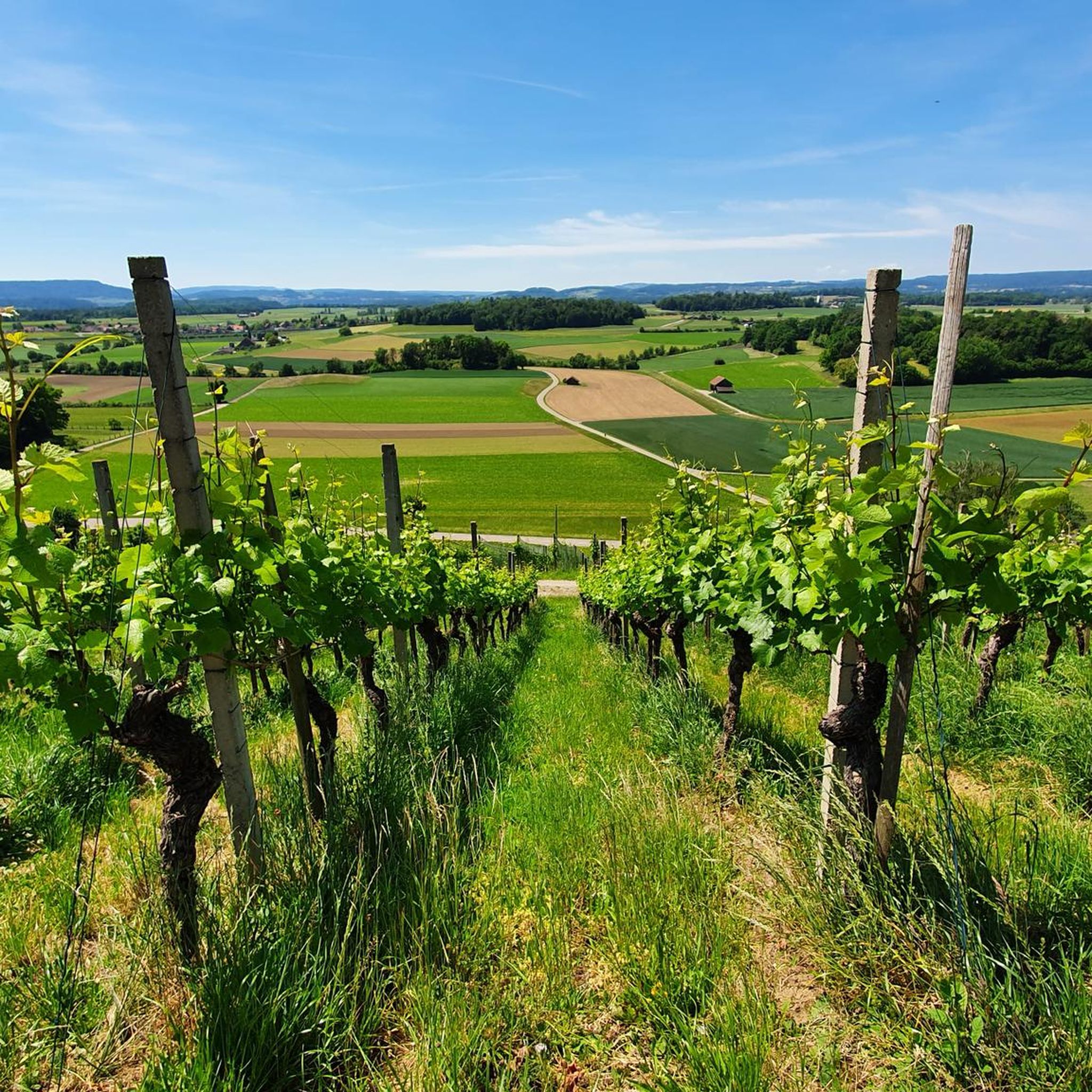
Gravel biking around Trüllikon offers a diverse landscape characterized by rolling hills, river valleys, and agricultural plains. The region features a network of unpaved roads and forest paths suitable for gravel bikes, often leading to scenic viewpoints and historical sites. Riders can expect a mix of terrain, from smoother gravel tracks to more challenging ascents. This area provides opportunities to explore the countryside between the Rhine River and the elevated areas like Irchel.
Best gravel bike trails around Trüllikon
- The…
Last updated: July 2, 2026
4.5
(17)
59
riders
51.0km
02:35
310m
310m
Moderate gravel ride. Good fitness required. Mostly paved surfaces. Suitable for all skill levels.
3.0
(3)
12
riders
56.3km
04:01
910m
910m
Hard gravel ride. Very good fitness required. Mostly paved surfaces. Suitable for all skill levels.

Sign up for free
4.6
(9)
31
riders
Hard gravel ride. Very good fitness required. Mostly paved surfaces. Suitable for all skill levels.
4.6
(5)
21
riders
37.7km
02:05
320m
320m
Moderate gravel ride. Good fitness required. Mostly paved surfaces. Suitable for all skill levels.
4.7
(3)
24
riders
16.7km
00:52
110m
110m
Easy gravel ride. Great for any fitness level. Mostly paved surfaces. Suitable for all skill levels.
Get access to more routes and recommendations from other explorers.
Sign up for free
Already have an account?
Our route recommendations are based on thousands of hikes, rides, and runs completed by other people on komoot.
Start today with a free account
Your next adventure awaits.
Login or Signup
Tips from the Community

The wooden bridge connects Diesselhofen with the opposite bank on the Rhine and serves as an important foot and cycle path in the border region. Constructed from timber framing and posts, it consciously blends into the natural surroundings and emphasizes the region's character as a connection between people, nature, and the border. The bridge primarily offers a quiet, picturesque passage with a view of the river, past riverside vegetation and open Rhine floodplains. It allows cycle paths and walking routes a direct route along the section of the Rhine and facilitates local exchange between communities. Historically, the bridge often symbolizes dialogue about border and everyday connections: apart from the river's perspective distance, it creates proximity and accessibility. The wooden structure is reminiscent of traditional construction methods, while maintenance and upkeep ensure safety and reliability for pedestrians and cyclists. In summary, the wooden bridge is more than just a traffic connection: it is a small, down-to-earth landmark that facilitates everyday life in the border region while inviting appreciation for the natural Rhine landscape.
0
0


How imposing this fortress is, perched above the Rhine.
0
0
A very beautiful cycling/hiking route along the Rhine, the scenery is truly top-notch.
0
0

From here you have a beautiful view of Stein am Rhein. To the right you can see the old town, to the left the river promenade.
0
0


a very beautiful old wooden bridge
0
0

Beautiful spot 🌎
1
0
Frequently Asked Questions
What kind of terrain can I expect on gravel bike trails around Trüllikon?
The Trüllikon region offers a diverse landscape for gravel biking, characterized by rolling hills, river valleys, and agricultural plains. You'll find a mix of unpaved roads and forest paths, ranging from smoother gravel tracks to more challenging ascents, often leading to scenic viewpoints.
Are there gravel bike trails suitable for beginners in Trüllikon?
Yes, Trüllikon has options for all skill levels. While many routes are moderate or difficult, there are easy trails available. For instance, the View of the Hochrhein – View of Diessenhofen loop from Schaffhausen is an easy 17.2 km route, perfect for those new to gravel biking.
Can I find circular gravel bike routes in the Trüllikon area?
Absolutely. Many of the gravel bike trails around Trüllikon are designed as loops, allowing you to start and finish at the same point. Examples include the Town Hall of Stein am Rhein – View of Stein am Rhein loop from Neuhausen and the Irchel Tower – Hochwacht Irchel viewpoint loop from Andelfingen.
What are some scenic viewpoints or landmarks I can visit on a gravel bike ride?
The region is rich in scenic spots and historical landmarks. You can ride to the Hochwacht Wildensbuch Observation Tower for expansive views, or explore historical sites like the Munot Fortress in Schaffhausen. Many routes offer panoramic vistas of the Rhine River and surrounding landscapes.
How many gravel bike trails are available around Trüllikon?
There are over 120 gravel bike trails documented around Trüllikon on komoot. These routes cater to various preferences, with 5 easy, 66 moderate, and 49 difficult options to explore.
What do other gravel bikers say about the trails in Trüllikon?
The gravel biking routes in Trüllikon are highly rated by the komoot community, with an average score of 4.5 stars from over 100 reviews. Riders often praise the varied terrain, scenic viewpoints, and the well-maintained network of unpaved roads and forest paths.
Are there any challenging gravel bike routes for experienced riders?
Yes, experienced gravel bikers will find plenty of challenging routes. For instance, the Hagenturm Observation Tower – View of the Alps from Randen loop from Schlatt is a difficult 57.3 km trail with significant elevation gain, leading through elevated forest and open areas.
What kind of historical sites can I discover while gravel biking near Trüllikon?
The area around Trüllikon is dotted with historical sites. You can pass by or visit impressive structures like Schloss Wörth, the Helfenberg Castle Ruins, or the All Saints Abbey Complex, offering a glimpse into the region's past.
Is it possible to access gravel bike trails in Trüllikon using public transport?
Many starting points for gravel bike routes in the Trüllikon region are accessible by public transport, particularly in larger nearby towns like Andelfingen or Schaffhausen. It's advisable to check local train and bus schedules for specific route access points.
Are there any gravel bike routes that offer views of the Alps?
Yes, some routes in the elevated areas around Trüllikon can offer distant views of the Alps on clear days. The Hagenturm Observation Tower – View of the Alps from Randen loop from Schlatt is specifically noted for potentially offering such panoramic views.
What is the best time of year for gravel biking in Trüllikon?
Spring, summer, and autumn generally offer the best conditions for gravel biking in Trüllikon. The weather is usually mild, and the landscapes are vibrant. While some trails might be accessible in winter, be prepared for potentially muddy or icy conditions, especially on unpaved paths.
Most popular attractions around Trüllikon

Get inspired with the komoot mobile app


Explore more
Browse the best Gravel rides in other regions.
