The best gravel rides around Truttikon
4.5
(71)
314
riders
44
rides
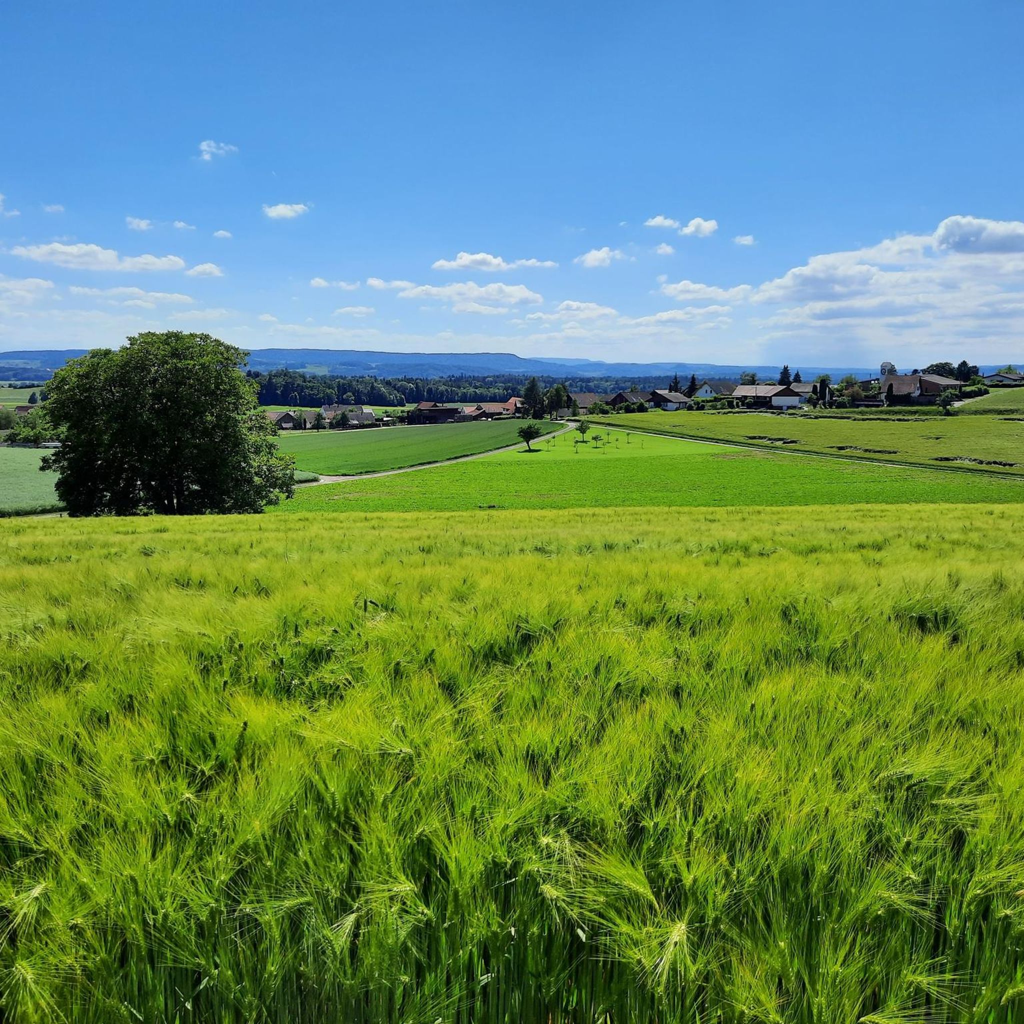
Gravel biking around Truttikon offers varied terrain, characterized by a mix of unpaved paths, wooded areas, and open fields. The region features diverse landscapes, including routes around natural reserves like Husemersee and along river valleys. Riders can expect mixed surfaces suitable for gravel bikes, with some segments presenting more challenging conditions.
Best gravel bike trails around Truttikon
- The most popular gravel bike trail is Irchel Tower – Hochwacht Irchel viewpoint loop from Andelfingen, a 35.0 miles (56.4 km) trail that takes about 5 hours to complete, featuring significant elevation gain and panoramic viewpoints.
- Another top favourite among local gravel bikers is Hagenturm Observation Tower – View of the Alps from Randen loop from Schlatt, a difficult 35.6 miles (57.3 km) path offering expansive views, including distant Alps, from observation towers.
- Local gravel bikers also love the View of the River Thur – Rhine Falls loop from Andelfingen, a 23.6 miles (38.0 km) trail leading through river landscapes and past the impressive Rhine Falls, often completed in about 2 hours 10 minutes.
- Gravel biking around Truttikon is defined by wooded areas, open fields, and routes near natural features like the River Thur and the Rhine Falls. The network offers options for easy, moderate, and difficult routes, catering to various ability levels.
- The routes in Truttikon are highly rated by the komoot community with an average score of 4.5 stars from over 270 reviews. More than 800 gravel bikers have used komoot to explore Truttikon's varied terrain.
Last updated: July 2, 2026
3.0
(3)
12
riders
56.3km
04:01
910m
910m
Hard gravel ride. Very good fitness required. Mostly paved surfaces. Suitable for all skill levels.
4.6
(9)
31
riders
Hard gravel ride. Very good fitness required. Mostly paved surfaces. Suitable for all skill levels.

Sign up for free
4.6
(5)
21
riders
37.7km
02:05
320m
320m
Moderate gravel ride. Good fitness required. Mostly paved surfaces. Suitable for all skill levels.
5.0
(1)
13
riders
37.4km
02:07
320m
320m
Moderate gravel ride. Good fitness required. Mostly paved surfaces. Suitable for all skill levels.
4.0
(3)
13
riders
Hard gravel ride. Very good fitness required. Mostly paved surfaces. Suitable for all skill levels.
Get access to more routes and recommendations from other explorers.
Sign up for free
Already have an account?
Our route recommendations are based on thousands of hikes, rides, and runs completed by other people on komoot.
Start today with a free account
Your next adventure awaits.
Login or Signup
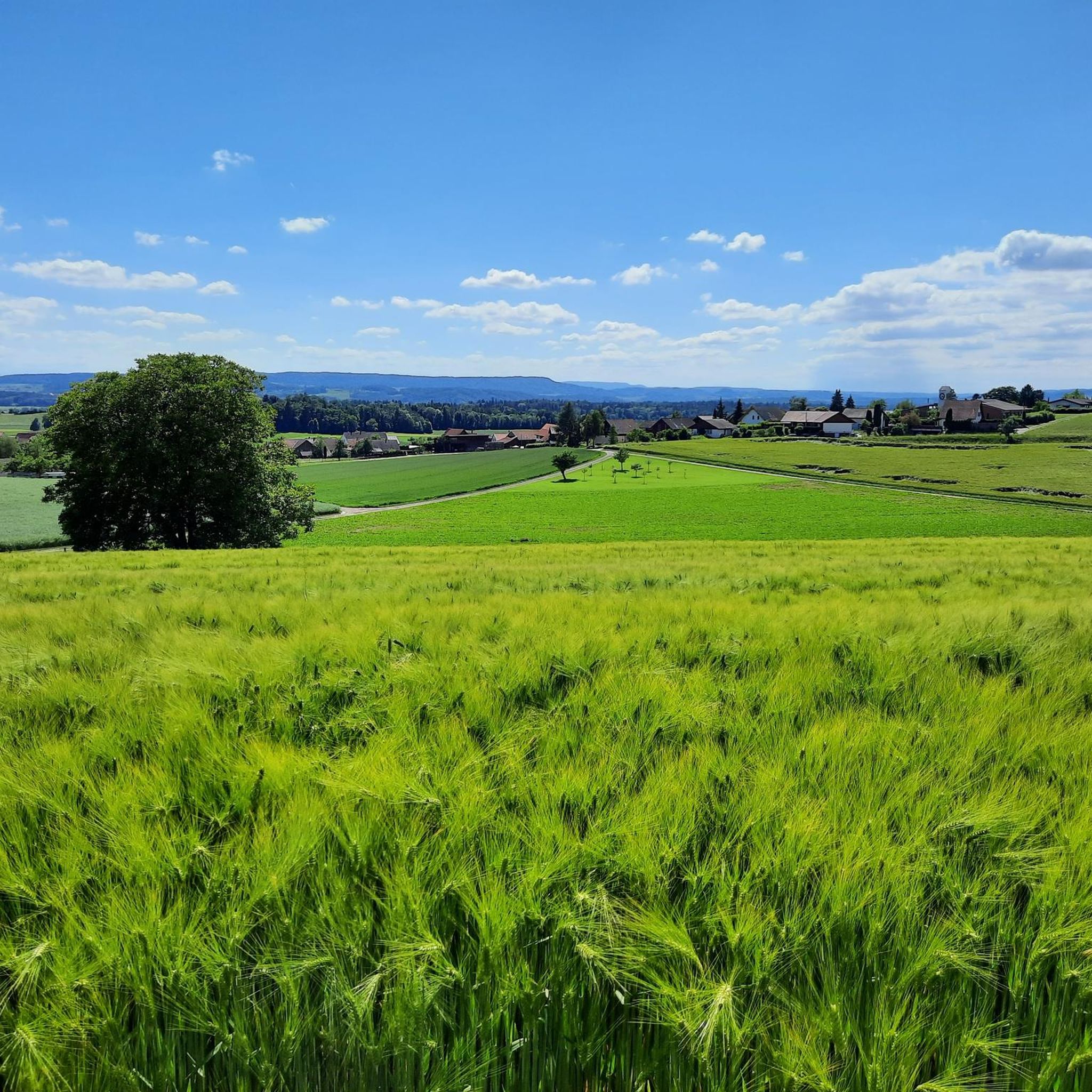
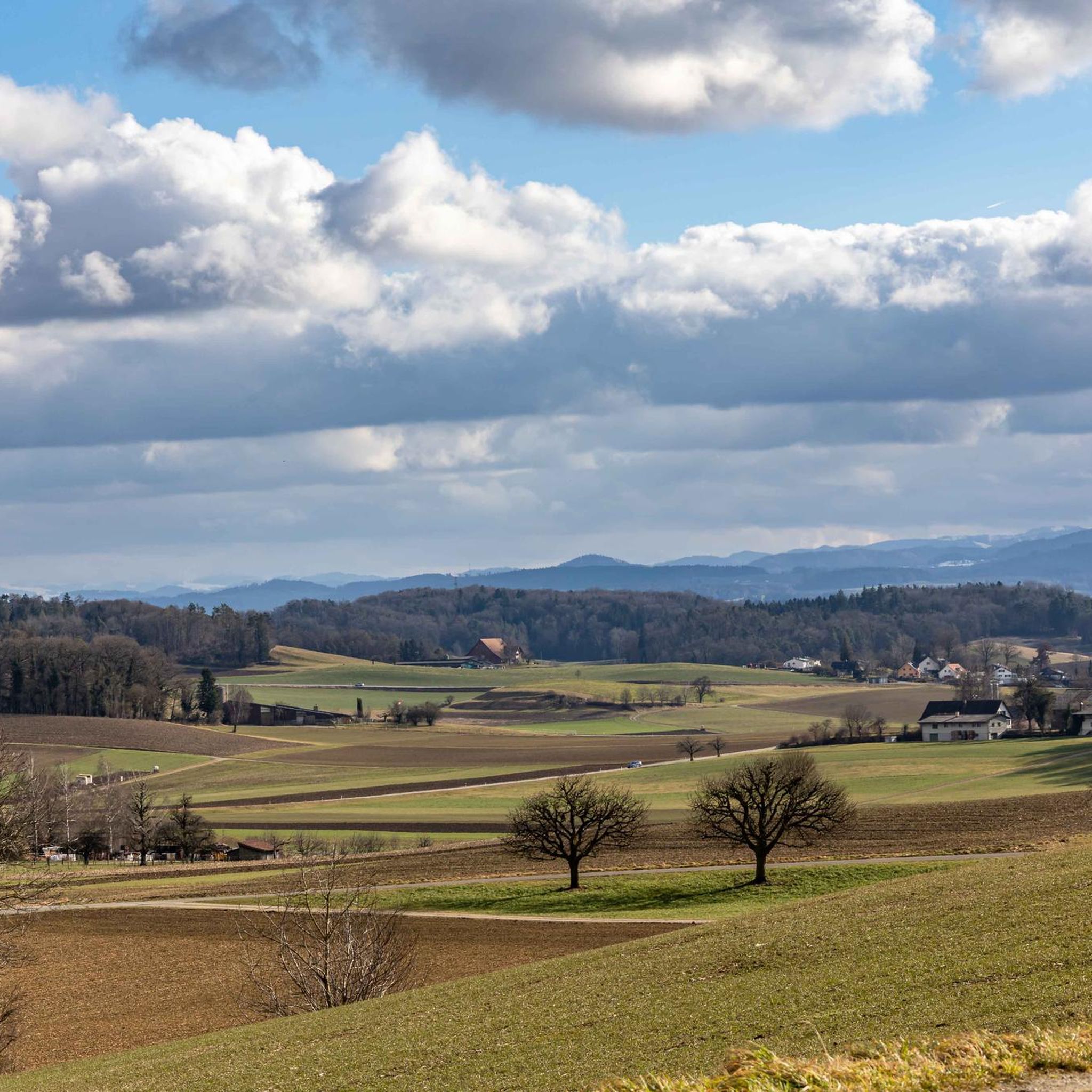
Tips from the Community


Sankt Nikolaus is especially worth a detour for the magnificent view: directly below lies the monastery island of Rheinau, and the view also sweeps over the Rhine, which flows here in a loop, and the adjacent vineyards.
0
0

How imposing this fortress is, perched above the Rhine.
0
0

From here you have a beautiful view of Stein am Rhein. To the right you can see the old town, to the left the river promenade.
0
0


It's simply very relaxing to cycle here...
0
0

From above the banks of the Rhine you have a wonderful view of the river
0
0

The short detour across the bridge is worth it. Immediately after the bridge, turn left to a parking lot. You'll be rewarded with a wonderful view of the Schaffhausen riverbank and the fortress.
4
0
Frequently Asked Questions
How many gravel bike trails are available around Truttikon?
There are over 60 gravel bike trails around Truttikon listed on komoot, offering a wide range of options for different skill levels and preferences. This includes 3 easy, 43 moderate, and 22 difficult routes.
What kind of terrain can I expect on gravel bike trails around Truttikon?
The terrain around Truttikon is varied, featuring a mix of unpaved paths, wooded areas, and open fields. You'll encounter diverse landscapes, including routes around natural reserves like Husemersee and along river valleys such as the River Thur. Some segments may present more challenging conditions suitable for gravel bikes.
Are there challenging gravel bike trails in Truttikon for experienced riders?
Yes, Truttikon offers 22 difficult gravel bike routes for experienced riders seeking a challenge. One such route is the Irchel Tower – Hochwacht Irchel viewpoint loop from Andelfingen, a 35-mile (56.4 km) trail with significant elevation gain and panoramic viewpoints.
Are there easy or beginner-friendly gravel trails in Truttikon?
Yes, there are 3 easy gravel bike routes around Truttikon, perfect for beginners or those looking for a more relaxed ride. These routes typically feature less elevation gain and smoother surfaces, allowing for a comfortable introduction to gravel biking in the region.
What natural features can I see along gravel bike trails near Truttikon?
Many gravel routes will take you through picturesque natural features. You can explore routes near the beautiful natural bathing lake Husemersee, which is surrounded by forests. The majestic Rhine Falls, Europe's largest waterfall, is also accessible via some routes, offering an impressive sight. The region also features extensive wooded areas and open fields.
Can I see the Rhine Falls on a gravel bike route?
Yes, you can. The View of the River Thur – Rhine Falls loop from Andelfingen is a popular 23.6-mile (38.0 km) route that leads through river landscapes and directly past the impressive Rhine Falls, allowing you to experience this natural wonder from your bike.
Are there any historical or cultural landmarks to explore near Truttikon while gravel biking?
Absolutely. The charming Old Town of Stein am Rhein, with its beautifully preserved historic center, is a notable cultural landmark nearby. You can also find routes that pass by the Town Hall of Stein am Rhein, offering a glimpse into the region's rich history.
What do other gravel bikers enjoy the most about gravel biking in Truttikon?
The gravel biking experience around Truttikon is highly rated by the komoot community, with an average score of 4.5 stars from over 270 reviews. Riders often praise the varied terrain, the blend of wooded areas and open fields, and the scenic routes that pass by natural features like the Rhine Falls and the River Thur.
Are there any circular gravel bike routes around Truttikon?
Many of the gravel bike routes around Truttikon are designed as loops, allowing you to start and end at the same point. Examples include the Hagenturm Observation Tower – View of the Alps from Randen loop from Schlatt and the Scenic Gravel Path – View of the River Thur loop from Andelfingen.
Is Truttikon suitable for family-friendly gravel biking?
Yes, Truttikon offers options for family-friendly gravel biking, particularly with its easy routes. The varied terrain, including paths through forests and open fields, provides an engaging environment for all ages. Look for routes with lower difficulty ratings for a more comfortable family experience.
Are there places to stop for a break or picnic along the gravel bike trails?
Yes, the region offers several spots for breaks. You might find picnic areas, such as the Picnic Area Near Hohenklingen Castle, or even forest cabins with fire pits like the Forest Cabin and Picnic Area with Fire Pit, perfect for a rest or a meal amidst nature.
What is the best time of year to go gravel biking in Truttikon?
The region around Truttikon is enjoyable for gravel biking through much of the year. Spring and autumn offer pleasant temperatures and beautiful scenery with changing foliage. Summer is also great, especially if you plan to combine your ride with a visit to natural bathing spots like Husemersee. Winter conditions can vary, so checking local weather and trail conditions is advisable.
Most popular attractions around Truttikon

Get inspired with the komoot mobile app


Explore more
Browse the best Gravel rides in other regions.
