The best gravel rides around Dreistelzer Forst
5.0
(9)
40
riders
15
rides
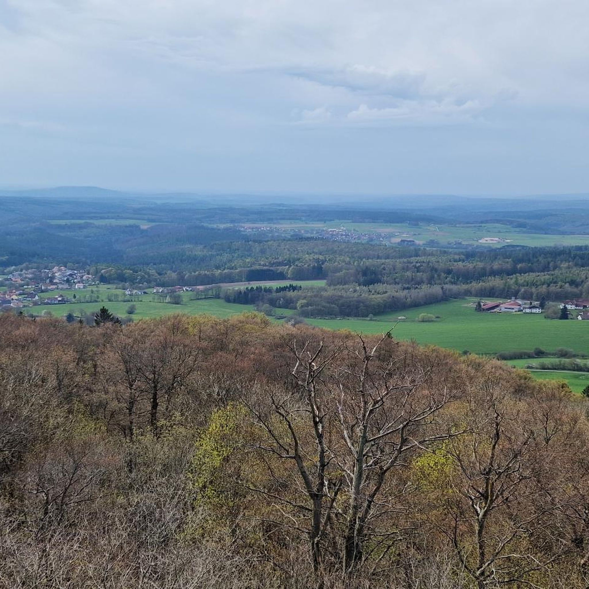
Gravel biking around Dreistelzer Forst offers a network of trails through a forested, hilly landscape within the Rhön low mountain range. The region is characterized by dense woodlands, river valleys, and elevated viewpoints, providing varied terrain for gravel cyclists. Routes often feature a mix of forest paths and open sections, with some trails leading past historical sites. The area is part of the UNESCO Biosphere Reserve Rhön, highlighting its natural beauty.
Best gravel bike trails around Dreistelzer Forst
- The most…
Last updated: July 2, 2026
5.0
(2)
4
riders
Hard gravel ride. Very good fitness required. Mostly paved surfaces. Suitable for all skill levels.
5.0
(2)
5
riders
50.9km
03:28
1,000m
1,000m
Hard gravel ride. Very good fitness required. You may need to push your bike for some segments of this route.

Sign up for free
5.0
(1)
5
riders
Hard gravel ride. Very good fitness required. Mostly paved surfaces. Suitable for all skill levels.
1
riders
35.2km
02:30
850m
850m
Hard gravel ride. Very good fitness required. Mostly paved surfaces. Suitable for all skill levels.
5.0
(1)
7
riders
Hard gravel ride. Very good fitness required. You may need to push your bike for some segments of this route.
Get access to more routes and recommendations from other explorers.
Sign up for free
Already have an account?
Our route recommendations are based on thousands of hikes, rides, and runs completed by other people on komoot.
Start today with a free account
Your next adventure awaits.
Login or Signup
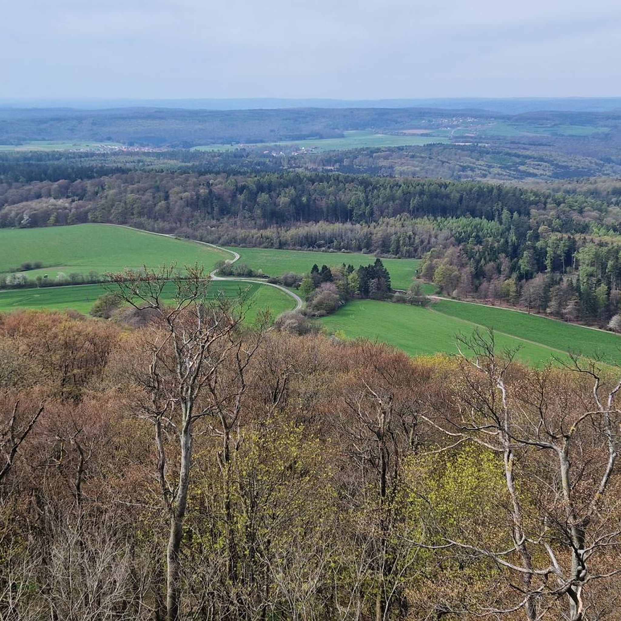
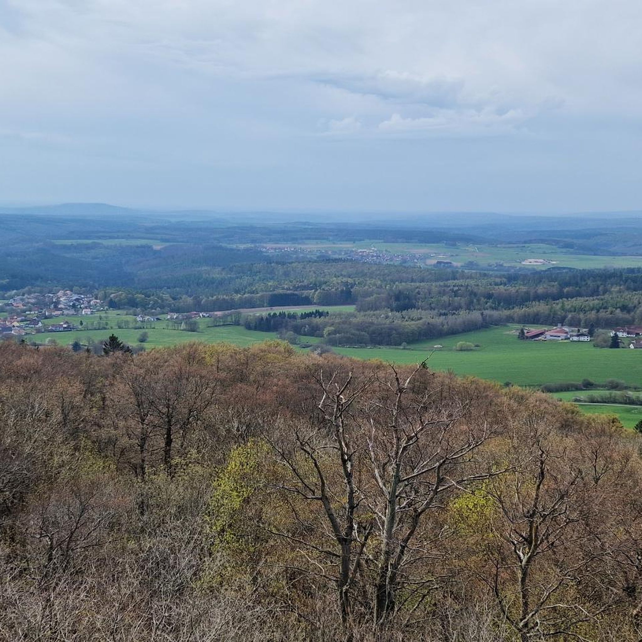
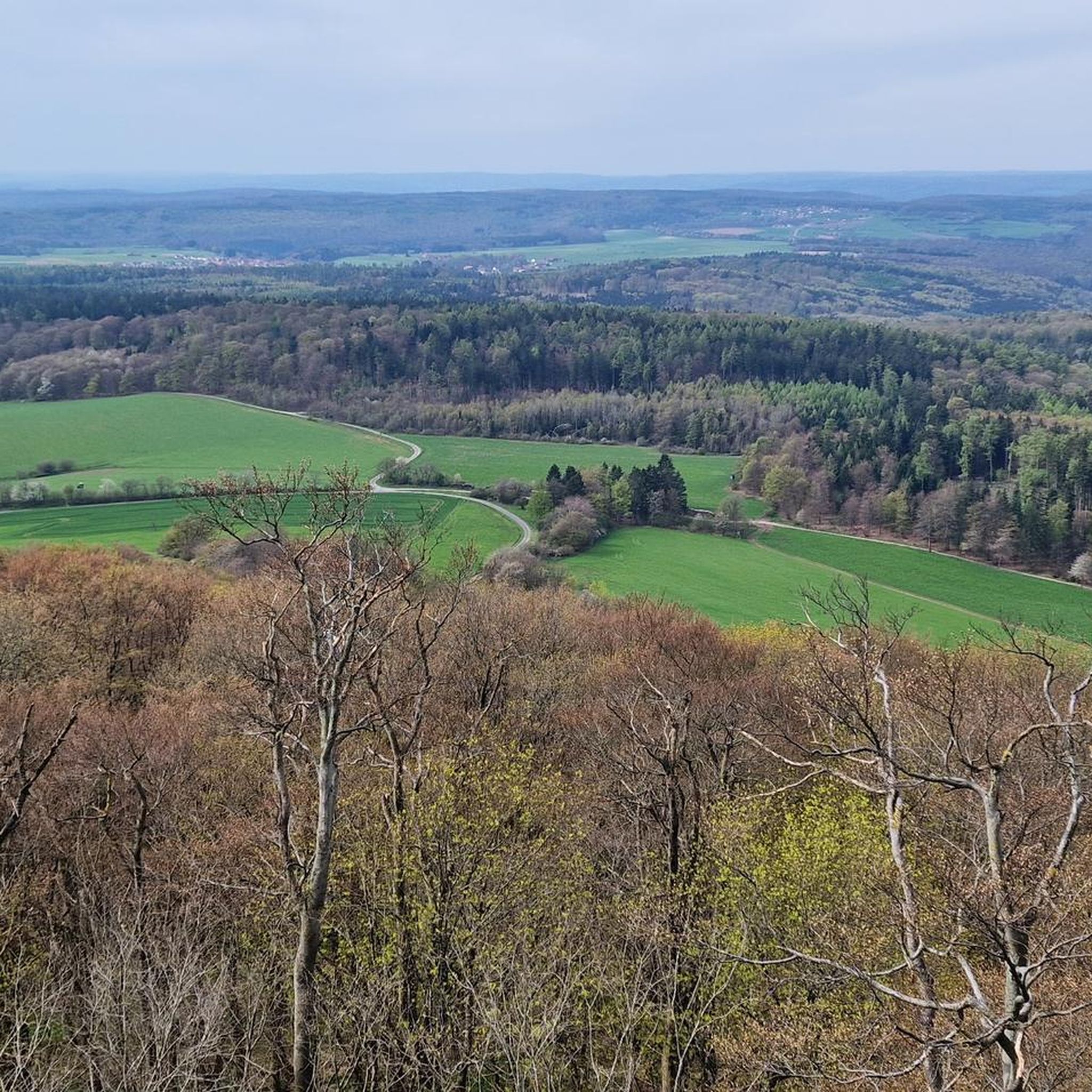
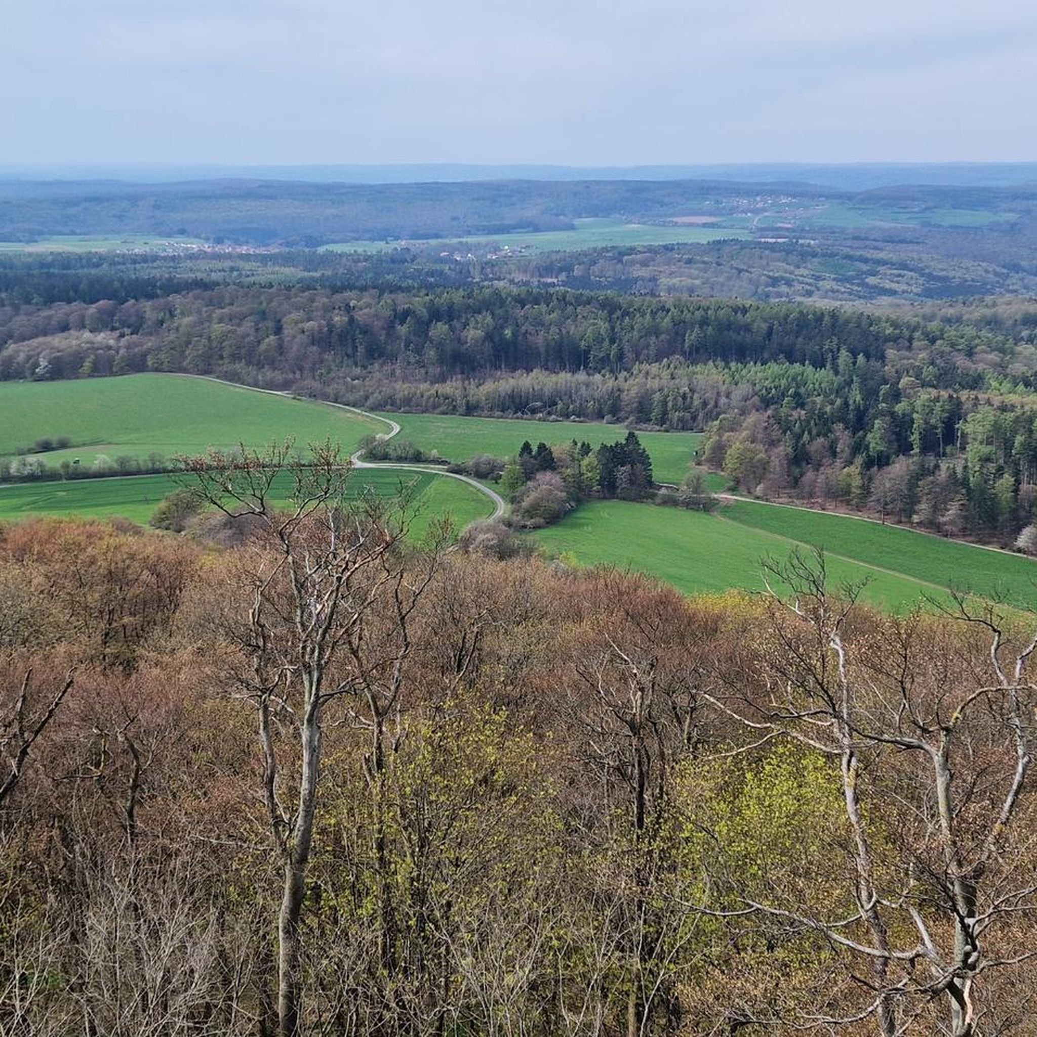
Tips from the Community

Steep mountain with up to 20% in the forest (shady). Particularly steep in the lower and upper sections, somewhat unrhythmic
0
0


Here at the former quarry there is a good rest area on the edge of the Schwarzenberg.
0
0

The Kursaal building, dating from 1830, is one of the most important buildings in the state spa of Brückenau.
6
0

A truly beautiful mill in the Schondra Valley. Absolutely worth a visit.
0
0

The Kinzig is a river approximately 86 kilometers long. It rises in Sterbfritz, flows southwest through the Main-Kinzig district of Hesse, and flows into the Main from the right in Hanau. The Kinzig is a second-order river in low mountain ranges. It overcomes an elevation of 301 meters and has a bed gradient of 3.5 per thousand. The Kinzig's catchment area covers 1,058 square kilometers, and the calculated mean discharge (MQ) at the mouth of the Kinzig is 10.97 cubic meters per second. The Kinzig was first documented in 796 as "iuxta fluvium Kincihen." In 815, the name was written as "Chinzicha," around 900 as "Kincicha"/"Kinzicham," in 1364 as "Kinzige," in 1584 as "Kintzig," in 1607 as "Bintz," in 1681 as "Kintz," in 1716 as "Kins," in 1769 as "Kinzing," and in 1802 as "Kinzig." In the river's headwaters, there was the now-defunct village of Kinzig, mentioned in 815 as "Chirizichheimero." The village and river were often confused by monastery scribes at that time with "Chizzicha" (now Bad Kissingen), both of which were described as being located in the Saalegau. The name presumably derives from the ancient Celtic *ku̯anti̯o- meaning "flat hill, valley." The name was therefore derived from the mountainous region from which the Kinzig flows. Source: Wikipedia
1
0
The construction of this railway line Gemünden - Elm began on the Bavarian side in May 1869, and the line was put into operation on May 1, 1872. The Bavarian section was 21.9 km long. The Sinntal Viaduct was completed at the end of September 1871. Source: Information board at the location
0
0

Frequently Asked Questions
What is the general difficulty level of gravel biking in Dreistelzer Forest?
Dreistelzer Forest offers a range of gravel biking experiences, primarily featuring moderate to difficult routes. While there are 6 moderate trails, the majority (19 out of 25) are classified as difficult, often involving significant elevation changes through the hilly, forested landscape. For example, the Ruins of Schwarzenfels Castle – View of Schwarzenfels Castle loop from Staatsbad Brückenau is a difficult 31.5-mile route with over 1000 meters of elevation gain.
Are there any beginner-friendly gravel bike routes in Dreistelzer Forest?
While the Dreistelzer Forest is known for its more challenging terrain, there are a few moderate options suitable for those with some gravel biking experience. There are 6 moderate routes available. However, there are no routes specifically classified as 'easy' in this guide, so beginners should be prepared for some climbs and varied surfaces.
What kind of distances can I expect on gravel bike trails in Dreistelzer Forest?
The gravel bike trails in Dreistelzer Forest vary significantly in length. You can find routes ranging from around 18 miles (29 km) to over 48 miles (77 km). For instance, the View of Schwarzenfels Castle – Sinn Bridge Altengronau loop from Staatsbad Brückenau is 18.2 miles (29.3 km), while the View of the Schmale Sinn – Sinn River loop from Oberzell extends to 48.1 miles (77.4 km).
Are there any circular gravel bike routes available?
Yes, many of the gravel bike routes in Dreistelzer Forest are designed as loops, allowing you to start and end at the same point. Examples include the Rhönexpress Rail Cycle Path – Rhönexpress Rail Trail loop from Volkers, which is a 31.2-mile circular trail, and the Cycle Path Near Uttrichshausen – View of the Rhön Mountains loop from Züntersbach.
What can I see along the gravel bike trails in Dreistelzer Forest?
The trails often lead past historical sites and offer scenic viewpoints. You can expect to see landmarks like the Legend of the Three Proud Ladies of Dreistelz and the Dreistelzturm Observation Tower, which provides panoramic views. Many routes also traverse dense woodlands and follow river valleys, offering a mix of natural beauty and cultural points of interest.
When is the best time of year for gravel biking in Dreistelzer Forest?
The Dreistelzer Forest is generally enjoyable for gravel biking from spring through autumn. Spring brings lush greenery, while autumn offers vibrant foliage. Summer is also popular, but be mindful of potential heat. Winter riding is possible, but conditions can be challenging due to snow and ice, especially on higher elevations and less-maintained forest paths.
Are there any viewpoints or scenic spots along the gravel bike routes?
Yes, the hilly terrain of Dreistelzer Forest provides several opportunities for scenic views. The Dreistelzturm Observation Tower is a prominent highlight offering extensive vistas. Many routes also feature natural clearings or elevated sections that provide glimpses over the surrounding Rhön landscape and forested valleys.
What do other gravel bikers enjoy most about Dreistelzer Forest?
The area is highly rated by the komoot community, with an average score of 4.9 stars from nearly 20 reviews. Reviewers often praise the diverse terrain, the quiet woodlands, and the mix of challenging climbs with rewarding descents. The historical elements, such as castle ruins, and the well-integrated paths through nature are also frequently highlighted.
Is Dreistelzer Forest accessible by public transport for gravel bikers?
While specific public transport connections directly to trailheads are not detailed in the route information, the region is part of the Rhön Biosphere Reserve. It's advisable to check local bus or train services connecting to nearby towns like Bad Brückenau or Volkers, which are common starting points for tours. You may need to plan for a short ride to reach the trails from public transport hubs.
Where can I find parking for gravel biking in Dreistelzer Forest?
Many gravel bike routes in Dreistelzer Forest start from towns or villages like Staatsbad Brückenau, Volkers, or Oberzell. These locations typically offer public parking facilities, often near the start of popular trails or in town centers. It's recommended to check parking options for your specific starting point before heading out.
Are there any cafes or places to stop for refreshments along the trails?
While the routes primarily traverse natural forest areas, starting and ending points in towns like Staatsbad Brückenau, Volkers, or Oberzell will have cafes, restaurants, or bakeries where you can refuel. For longer rides, it's wise to carry sufficient water and snacks, as amenities might be sparse on the forest paths themselves.
Are the gravel bike trails in Dreistelzer Forest suitable for families?
Given that most routes are classified as moderate to difficult and involve significant elevation changes, the Dreistelzer Forest gravel trails might be challenging for younger children or families seeking very easy, flat rides. Families with older, experienced teenage riders might enjoy the moderate routes, but it's important to assess the specific route's profile before setting out.
Most popular routes around Dreistelzer Forst
Most popular attractions around Dreistelzer Forst

Get inspired with the komoot mobile app


Explore more
Browse the best Gravel rides in other regions.
