The best gravel rides in the Harmonie Mountains
40
riders
5
rides
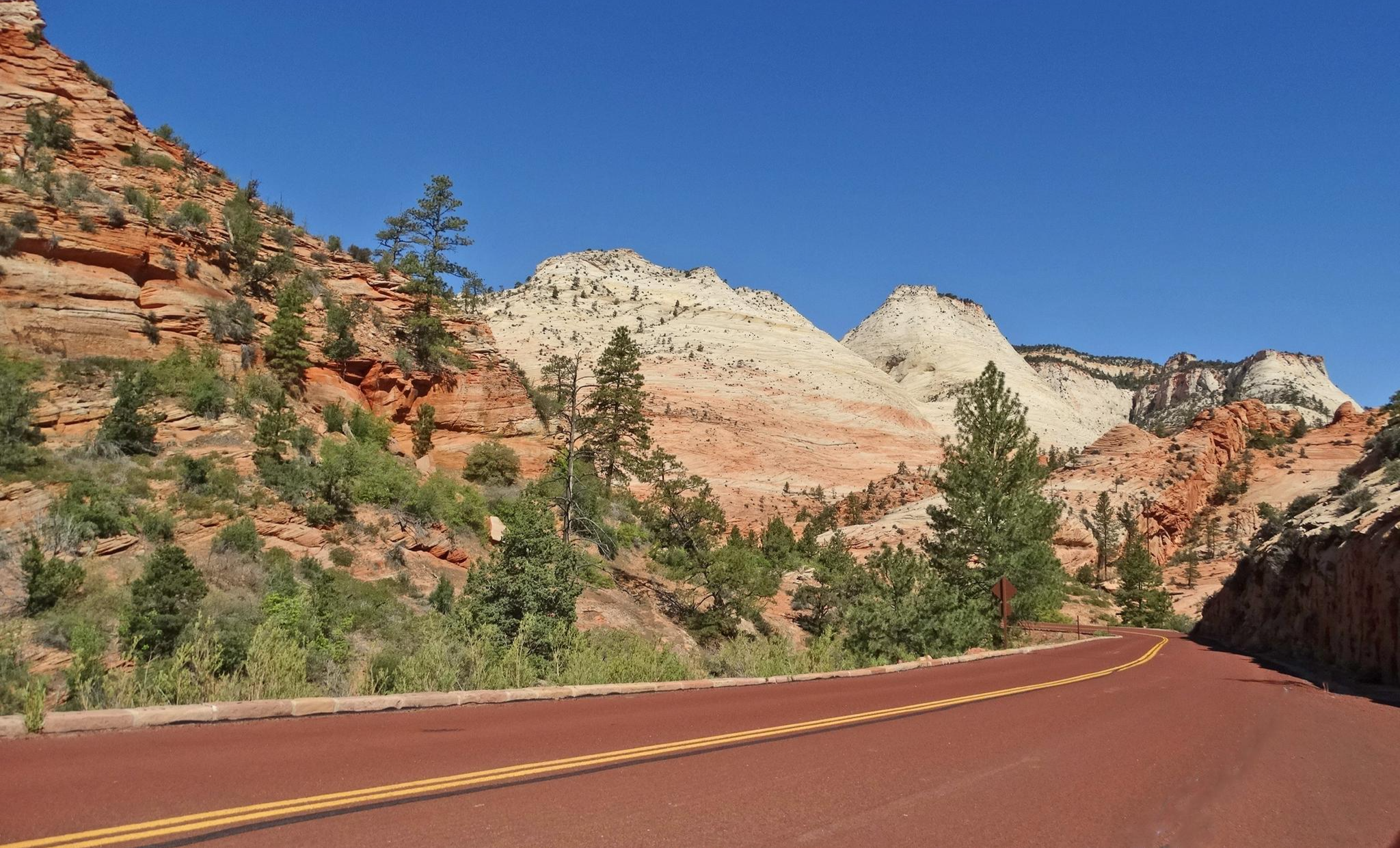
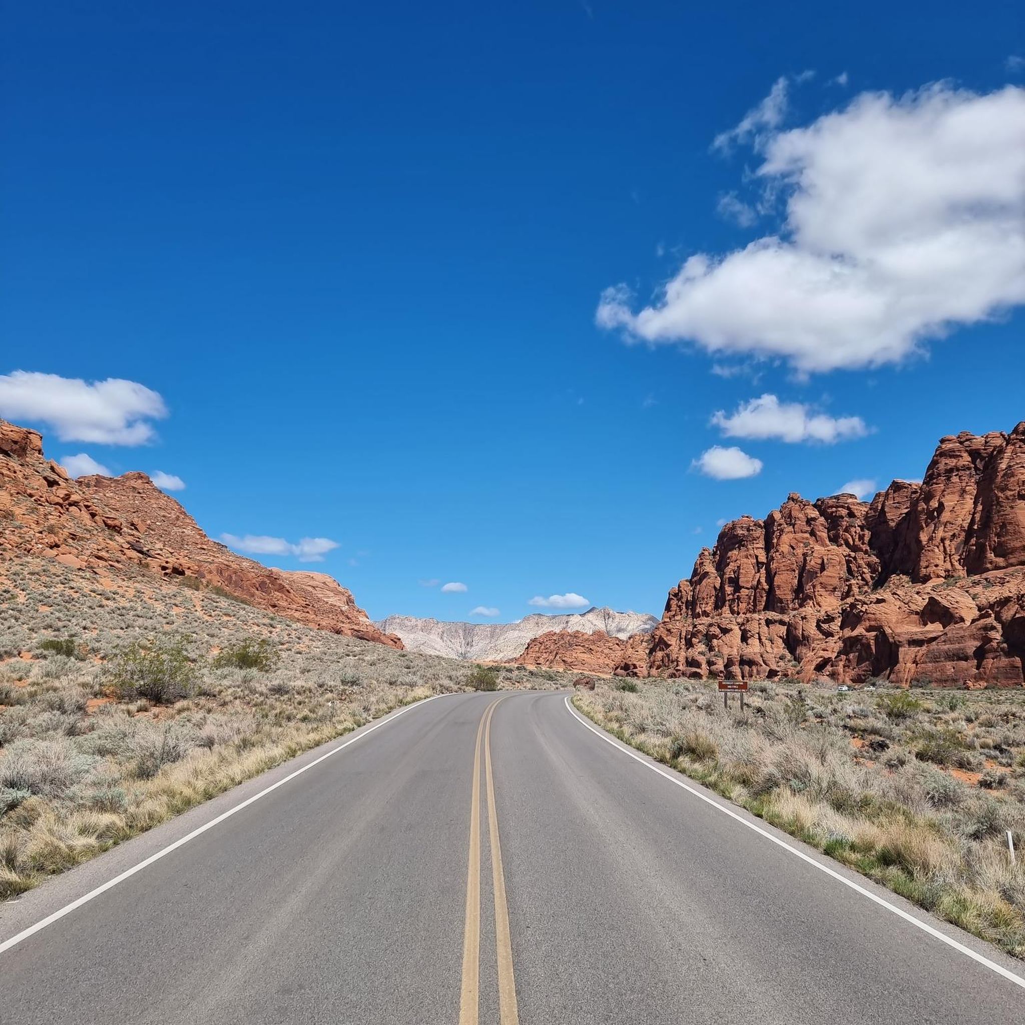
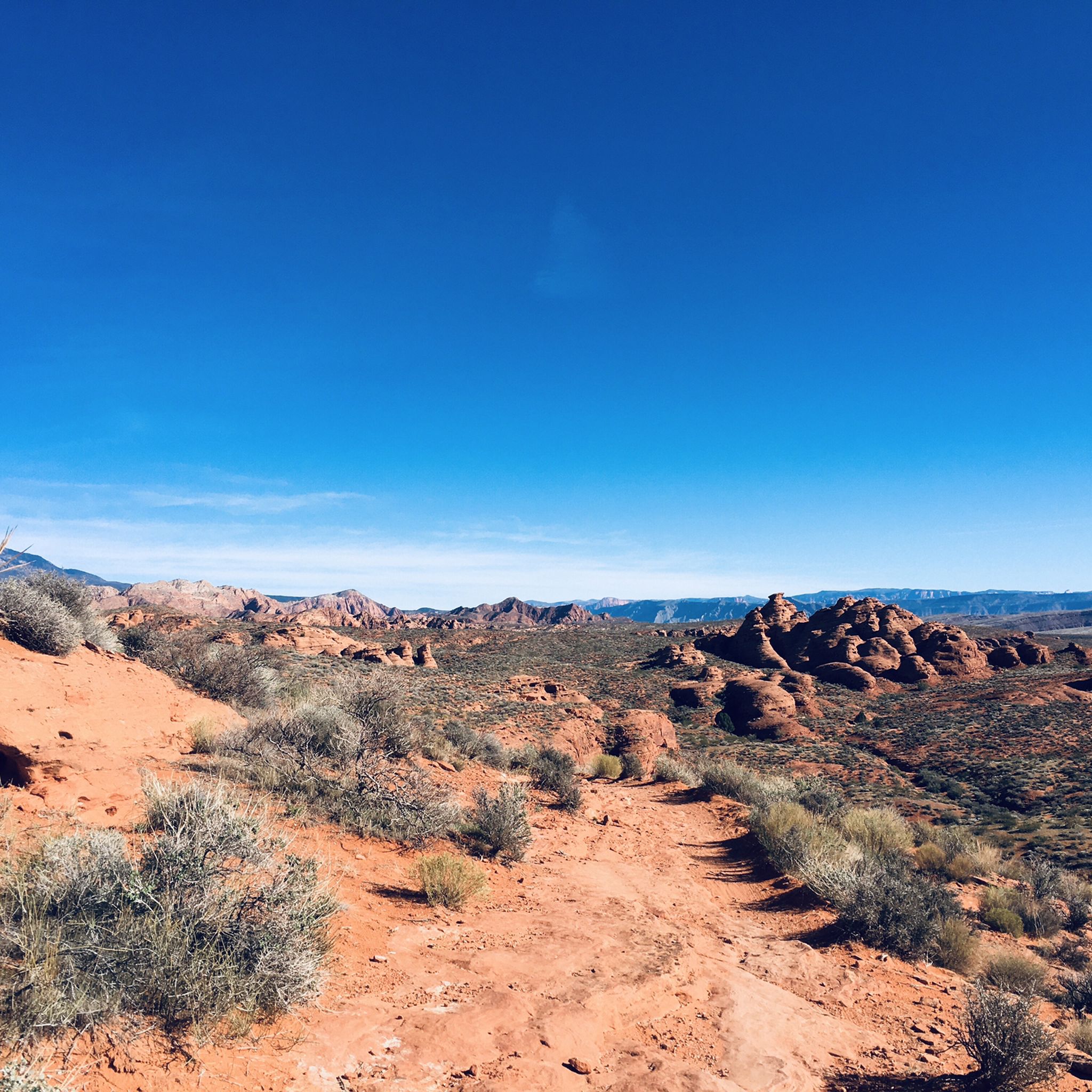
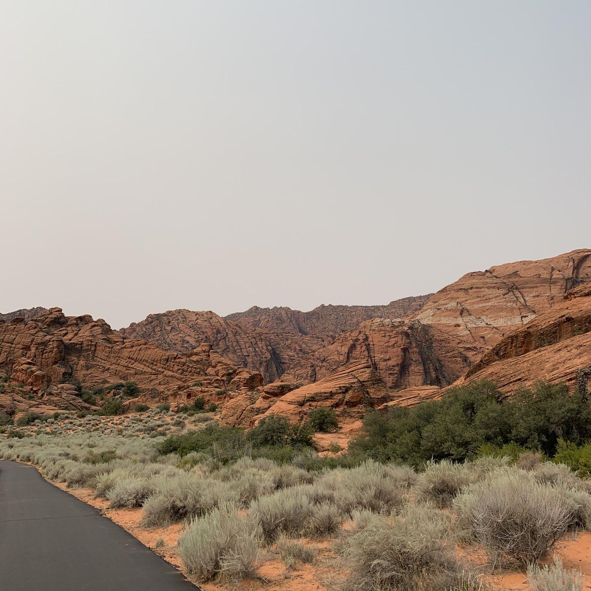
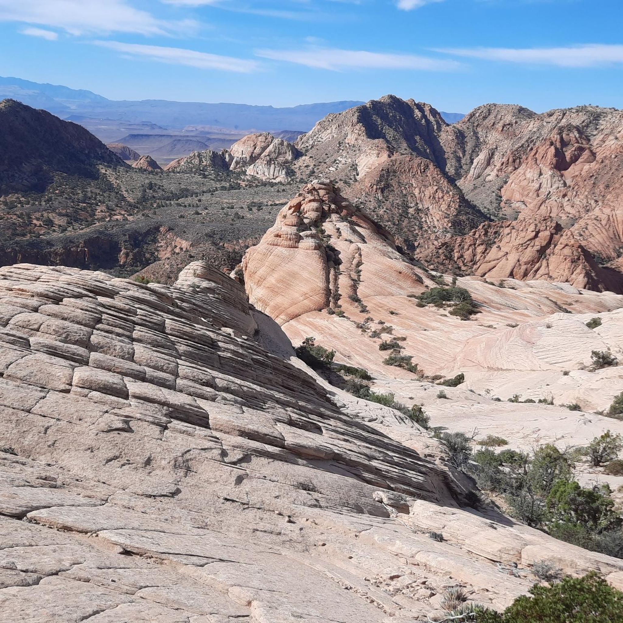
Gravel biking in the Harmonie Mountains is characterized by its arid, red rock desert landscape. This region features striking geological formations, including petrified sand dunes and dramatic canyons, with views of distant mountain ranges. Routes traverse varied terrain, from rugged desert paths to areas near reservoirs and rivers. The landscape offers a challenging environment for gravel biking, with routes often covering significant distances and elevation changes.
Best gravel bike trails in the Harmonie Mountains
- The most popular gravel bike trail…
Last updated: July 11, 2026
10
riders
40.1km
03:16
490m
490m
Hard gravel ride. Very good fitness required. Mostly paved surfaces. Suitable for all skill levels.
7
riders
73.2km
05:18
1,000m
1,000m
Hard gravel ride. Very good fitness required. Mostly paved surfaces. Suitable for all skill levels.

Sign up for free
8
riders
140km
11:37
2,210m
2,210m
Hard gravel ride. Very good fitness required. Mostly paved surfaces. Suitable for all skill levels.
9
riders
81.3km
05:06
590m
590m
Hard gravel ride. Very good fitness required. Mostly paved surfaces. Suitable for all skill levels.
6
riders
75.6km
05:05
810m
810m
Hard gravel ride. Very good fitness required. Mostly paved surfaces. Suitable for all skill levels.
Our route recommendations are based on thousands of hikes, rides, and runs completed by other people on komoot.
Start today with a free account
Your next adventure awaits.
Login or Signup
Other adventures in the Harmonie Mountains

Tips from the Community

Warner Valley Road gives you a true taste of Southern Utah’s desert riding: quiet, wide-open, and wonderfully remote. The surface is mostly packed dirt with some loose or sandy stretches, so it rides best on wider tires. Traffic is minimal, but shade is almost nonexistent, and the heat can build quickly, so start early and carry more water than you think you’ll need. It’s a beautiful connector with views of red cliffs and open valleys.
0
0

The mountain gets its color from Navajo Sandstone, which is the same type of rock found in nearby Zion National Park. Over time, wind and water have shaped this sandstone into beautiful cliffs, canyons, and unique rock formations.
0
0

Lakes, mountains all beautiful and wonderful!
0
0

No, it's not a mirage, Sand Hollow State Park is a real oasis in the desert. Popular for all kinds of outdoor activities you can stop by along your ride for a cool-down swim, enjoy the incredible views, or top up your water supply.
0
0

Bloomington Park, along the Virgin River Trail South, has sports fields and a playground for kids. The park has views of the Virgin River and public restrooms.
0
0
This trail stretches along the Virgin River for 12 miles and is popular with runners, walkers, and cyclists. As such you'll need to keep an eye out for other trail users when you're not soaking up the views.
0
0

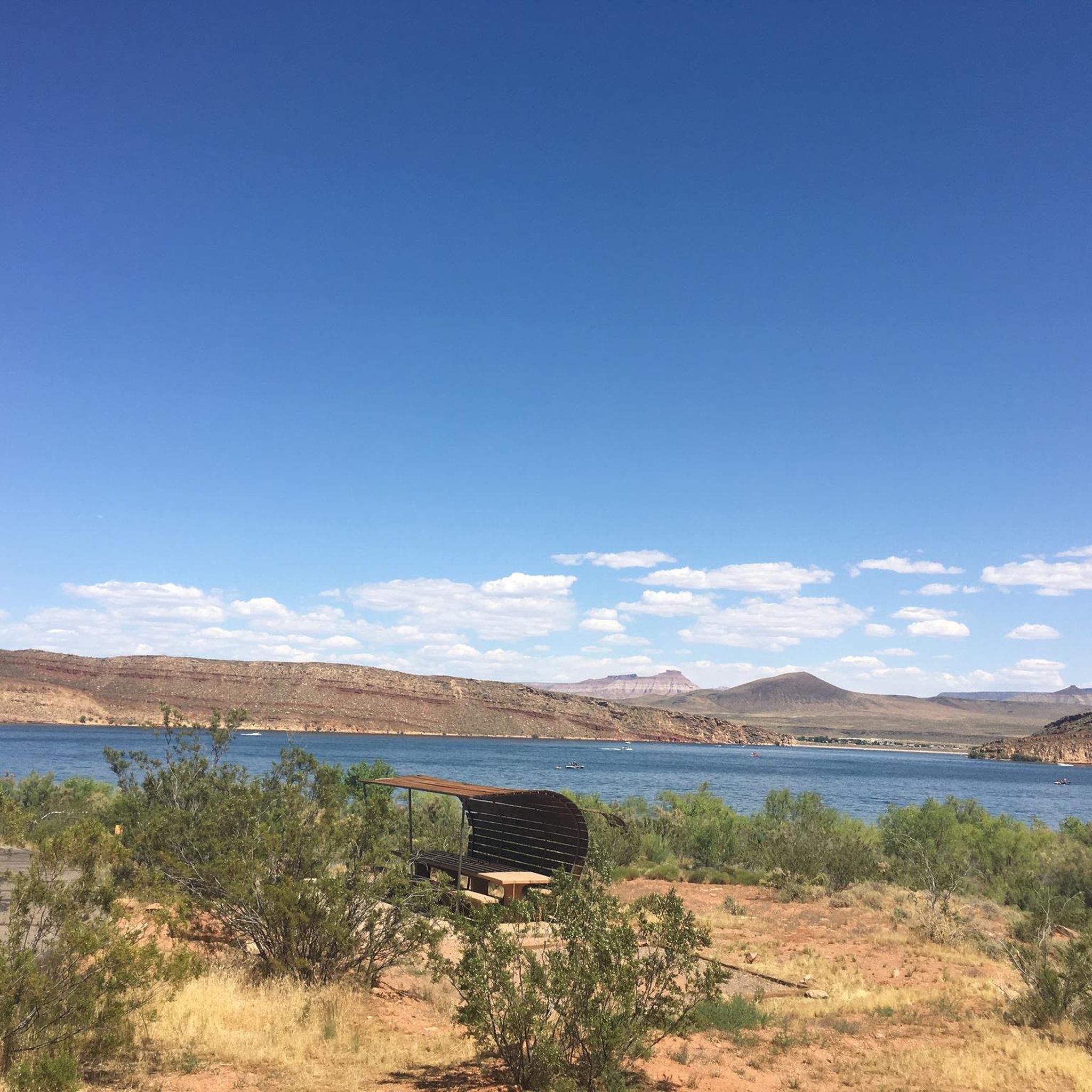
With warm blue waters and red stone landscape Sand Hollow Reservoir is a popular destination for water enthusiasts. Located in Sand Hollow State Park, which is a great place to camp, picnic, boat, fish or ride ATVs.
0
0
No, it's not a mirage, Sand Hollow State Park is a real oasis in the desert. Popular for all kinds of outdoor activities you can stop by along your ride for a cool down swim, enjoy the incredible views, or top up your water supply.
0
0
Frequently Asked Questions
What kind of terrain can I expect on gravel bike trails in the Harmonie Mountains?
The Harmonie Mountains, characterized by their red rock desert landscape, offer a unique gravel biking experience. You'll encounter striking geological formations, arid terrain, and diverse plant life. While the guide focuses on routes suitable for gravel bikes, be prepared for varied surfaces that can include packed dirt, loose gravel, and rocky sections, typical of a desert environment.
How many gravel bike trails are available in the Harmonie Mountains?
This guide features 5 challenging gravel bike routes in the Harmonie Mountains. These routes are designed to take you through the region's distinctive red rock scenery.
Are there any beginner-friendly gravel bike trails in the Harmonie Mountains?
The routes listed in this guide are generally considered difficult, with significant distances and elevation gains. For example, the Gunlock Reservoir State Park loop from Gunlock State Park covers over 40 km with nearly 500 meters of elevation gain. Riders should have a good level of fitness and experience with varied terrain.
What are some notable landmarks or viewpoints along the gravel routes?
The Harmonie Mountains region is rich in natural beauty. Along your rides, you can explore highlights such as the unique Petrified Dunes in Snow Canyon State Park, the scenic Snow Canyon Scenic Road, and the intriguing Scout's Cave. The Hidden Pinyon Overlook also offers stunning views of the landscape.
Are there any long-distance gravel routes for experienced riders?
Yes, for experienced riders seeking a significant challenge, the Bloomington Park – Red Mountain loop from Webb Hill is a substantial option. This route spans nearly 140 km with over 2200 meters of elevation gain, offering an epic day out in the saddle.
What is the best time of year for gravel biking in the Harmonie Mountains?
Given the desert climate, spring and fall are generally the most pleasant seasons for gravel biking in the Harmonie Mountains. Temperatures are milder, making long rides more enjoyable. Summer can be extremely hot, and while winter offers cooler temperatures, some routes might be affected by occasional cold snaps or precipitation.
Are there any loop trails for gravel biking in this area?
Yes, several routes in this guide are designed as loops. For instance, the Virgin River Trail – Sand Hollow State Park loop from Washington provides a circular journey of over 81 km, allowing you to start and end at the same point.
What should I wear for gravel biking in the Harmonie Mountains?
Due to the desert environment, layers are recommended. Even on cooler days, the sun can be intense, so sun protection (hat, sunglasses, sunscreen) is essential. Bring plenty of water, as sources can be scarce, and wear appropriate cycling gear for varied terrain, including gloves and sturdy shoes.
Where can I find parking for these gravel bike trails?
Specific parking details vary by route. Many routes, like the Gunlock Reservoir State Park loop, often start near state parks or designated recreational areas which typically offer parking facilities. Always check the individual route details on komoot for precise starting points and parking information.
Are there any cafes or places to refuel near the gravel trails?
The Harmonie Mountains region is primarily a natural desert landscape. While some routes may pass through or near small towns, dedicated cafes or refueling spots directly on the trails are not common. It's advisable to carry sufficient food and water for your entire ride, especially on longer routes like the Bloomington Park – Red Mountain loop from Santa Clara River.
What are the typical distances and elevation gains for gravel routes here?
The gravel routes in the Harmonie Mountains vary significantly. Distances range from approximately 40 km, such as the Gunlock Reservoir State Park loop with nearly 500 meters of elevation, up to challenging rides like the Bloomington Park – Red Mountain loop from Webb Hill, which is almost 140 km long with over 2200 meters of climbing.
Most popular routes in the Harmonie Mountains
Most popular attractions in the Harmonie Mountains

Get inspired with the komoot mobile app


