The best gravel rides in the Sierra Nevada
4.4
(9)
339
riders
63
rides
Gravel biking in the Sierra Nevada offers diverse and dramatic landscapes, characterized by extensive networks of gravel roads, fire roads, and segments of quiet tarmac. The region features significant climbs and exhilarating descents, providing both physical challenge and rewarding views. Riders can expect terrain ranging from smooth gravel to more challenging, chunky sections, often traversing remote wilderness areas. The Sierra Nevada is home to towering peaks, alpine lakes, and vast forests, making it a premier destination for high-altitude gravel biking from spring through autumn.
Best gravel bike trails in the Sierra Nevada
- The most popular gravel bike trail is Truckee to Mount Watson Loop, a 38.0 miles (61.1 km) trail that takes 5 hours 45 minutes to complete. This route features significant climbs and rewarding views of the surrounding high-elevation terrain.
- Another top favourite among local gravel bikers is Marlette Flume and Tahoe Rim Trail Loop, a difficult 22.4 miles (36.1 km) path. This trail offers varied terrain and scenic views, including sections of the renowned Tahoe Rim Trail.
- Local gravel bikers also love the Silver Canyon and Poleta Canyon Loop, a 29.7 miles (47.9 km) trail leading through challenging canyon landscapes, often completed in about 6 hours 30 minutes.
- Gravel biking in the Sierra Nevada is defined by extensive gravel roads, high-elevation mountain passes, and diverse forest ecosystems. The network offers options for various ability levels, from long, challenging routes to shorter, more accessible paths.
- The routes in Sierra Nevada are highly rated by the komoot community with an average score of 4.4 stars from more than 7 reviews. More than 300 gravel bikers have used komoot to explore Sierra Nevada's varied terrain.
Last updated: September 27, 2026
5
riders
61.1km
05:46
1,310m
1,310m
Hard gravel ride. Very good fitness required. Mostly paved surfaces. Suitable for all skill levels.
4
riders
13.5km
01:23
150m
150m
Hard gravel ride. Good fitness required. You may need to push your bike for some segments of this route.

2
riders
36.1km
04:17
930m
930m
Hard gravel ride. Very good fitness required. Mostly paved surfaces. Suitable for all skill levels.
17.9km
01:41
50m
50m
Easy gravel ride. Great for any fitness level. Mostly paved surfaces. Suitable for all skill levels.
3.0
(1)
1
riders
84.8km
08:07
2,370m
2,370m
Hard gravel ride. Very good fitness required. You may need to push your bike for some segments of this route.
54.2km
05:21
380m
380m
Hard gravel ride. Very good fitness required. Mostly paved surfaces. Suitable for all skill levels.
52.5km
06:14
1,380m
1,380m
Hard gravel ride. Very good fitness required. Mostly paved surfaces. Suitable for all skill levels.
47.9km
06:30
2,260m
2,260m
Hard gravel ride. Very good fitness required. You may need to push your bike for some segments of this route.
38
riders
113km
08:32
1,450m
1,450m
Hard gravel ride. Very good fitness required. Mostly paved surfaces. Suitable for all skill levels.
12
riders
76.5km
06:33
1,760m
1,760m
Hard gravel ride. Very good fitness required. Mostly paved surfaces. Suitable for all skill levels.
Get access to more routes and recommendations from other explorers.
Already have an account?
Our route recommendations are based on thousands of hikes, rides, and runs completed by other people on komoot.
Start today with a free account
Your next adventure awaits.
Popular around Sierra Nevada

John Muir Trail – Along the legendary trail through the magical Sierra Nevada

American Discovery Trail — Walking from sea to shining sea

The Sierra High Route — Solitude in California's alpine country

Pacific Crest Trail from Mexico to Canada – 4,200 kilometres of wilderness
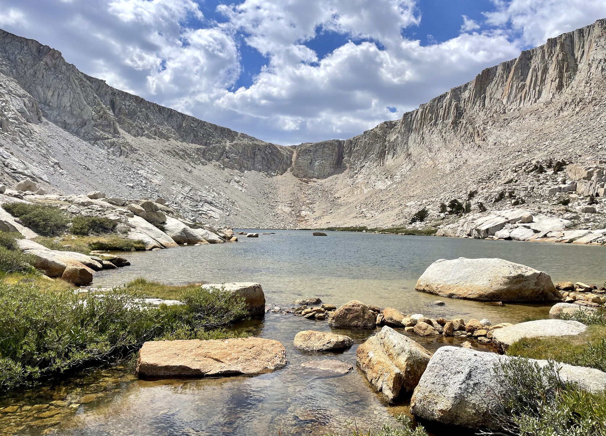
Cottonwood Lakes Loop — Exploring the Golden Trout Wilderness

Tahoe Rim Trail — Hiking along the Jewel of the Sierra

American Discovery Trail — Riding coast to coast
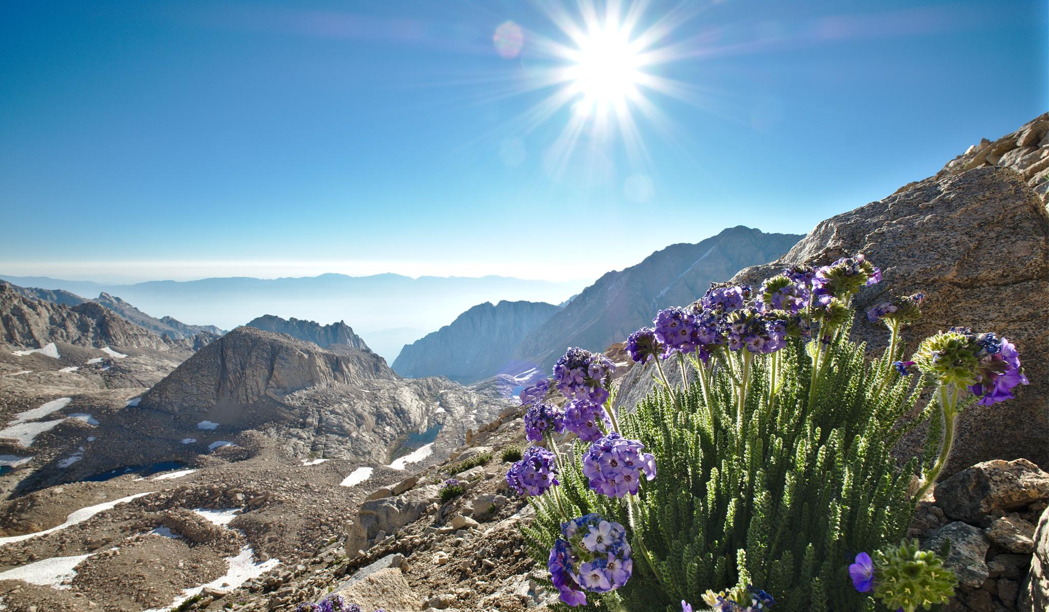
The High Sierra Trail — The Ultimate Sierra Experience

The tour of your life – music trails on the Pacific coast

California to Nevada – hiking between Volcanoes, Water & Forest
Other adventures in the Sierra Nevada


Tips from the Community

This spot offers beautiful views of the Owens River with the White Mountains in the background. It’s a great place to end your ride and enjoy a quiet, scenic picnic.
0
0
Fish Slough Road is a solid gravel route just north of Bishop, cutting through open desert, wetlands, and volcanic rock formations. The surface is mostly hard-packed with some washboard and sandy patches—I recommend going with wider tires, and don’t forget water and sun protection. It’s a quiet ride with beautiful mountain views and cool petroglyphs along the way.
0
0
Along Fish Slough Road, this quick detour takes you to a set of ancient petroglyphs carved into volcanic rock. The site is quiet, free to visit, and reached by a short walk from the parking area—no bikes allowed on the loop, but it’s an easy break from your ride. You’ll spot symbols and figures estimated to be over 1,000 years old.
0
0

This is a fun, non-technical ride in its own right, and also an access route for the Capital to Tahoe Trail. Actually, it's arguably the longest access route — but it comes with the bonus of being able to bike straight to Lake Tahoe from urban Carson City.
0
0
Expect access to Marlette Lake to be pretty much nonexistent through 2026, as the nearby trails are closed for repairs at the Marlette Lake dam. You can get closure updates from Nevada State Parks: https://parks.nv.gov/news/trail-closures-at-spooner-lake-state-park-backcountry-for-marlette-dam-repairs
1
0
This forest service road is a popular approach route to Marlette Lake, but it's expected to be closed through 2026 for repairs to the Marlette Lake dam. Until this trail reopens, the Capital to Tahoe Trail is a good riding alternative in the area. You can get updates on the trail closure at Nevada State Parks: https://parks.nv.gov/news/trail-closures-at-spooner-lake-state-park-backcountry-for-marlette-dam-repairs
0
0

Roadside Overlook and Exhibit both uphill to Campito Mountain, rising another 1500 feet higher to the North-West, as well as downhill into the basin to the East, crossed by smaller gravel roads. There are numerous small springs and mining claims in the area.
0
0

Frequently Asked Questions
How many gravel bike trails are available in the Sierra Nevada?
There are over 60 gravel bike routes available in the Sierra Nevada, catering to various skill levels. These routes are highly rated by the komoot community, with an average score of 4.4 stars.
What is the best time of year for gravel biking in the Sierra Nevada?
The Sierra Nevada is ideal for high-altitude gravel biking from spring through autumn. During these seasons, you'll find the most favorable weather conditions and accessible trails, as many routes traverse remote wilderness areas.
Are there family-friendly gravel biking options in the Sierra Nevada?
Yes, while many routes feature significant climbs and challenging terrain, there are easier options suitable for families. For example, the Chalk Bluff Road offers a more accessible experience with less elevation gain.
What kind of terrain can I expect on gravel bike trails in the Sierra Nevada?
Riders can expect a diverse range of terrain, from smooth gravel to more challenging, chunky sections. Many routes feature significant climbs and exhilarating descents, often traversing extensive networks of gravel roads, fire roads, and segments of quiet tarmac.
Are there any long-distance gravel biking routes for experienced riders?
Absolutely. The Sierra Nevada offers routes like White Mountain Road, which spans over 84 km with substantial elevation gain, providing a significant challenge for experienced gravel bikers. Another demanding option is the Genoa – Nevada State Railroad Museum loop from Carson & Mills Park Railroad, covering over 112 km.
What natural attractions can I see along the gravel bike trails in the Sierra Nevada?
The Sierra Nevada is rich in natural beauty. You can encounter stunning alpine lakes such as Mirror Lake, Eagle Lake (Desolation Wilderness), and Tenaya Lake. The region also features unique geological formations and vast forests, including ancient sequoia groves in protected areas.
Are there any loop trails for gravel biking in the Sierra Nevada?
Yes, many routes in the Sierra Nevada are designed as loops, offering a complete journey back to your starting point. Popular examples include the Truckee to Mount Watson Loop and the Marlette Flume and Tahoe Rim Trail Loop, both providing diverse scenery and rewarding views.
What do other gravel bikers enjoy most about the Sierra Nevada?
The Sierra Nevada is highly rated by the komoot community, with an average score of 4.4 stars. Reviewers often praise the diverse and dramatic landscapes, the extensive network of gravel roads, and the significant climbs that lead to rewarding views. The region's remote wilderness areas and the variety of terrain are also frequently highlighted.
Are there any permits required for gravel biking in the Sierra Nevada?
While many gravel roads are publicly accessible, some routes may pass through national parks or wilderness areas where specific permits or fees might be required, especially for overnight stays or certain activities. It's always advisable to check with the local land management agencies for the most current regulations before your ride.
Can I find routes that offer scenic viewpoints in the Sierra Nevada?
Absolutely. The Sierra Nevada is renowned for its stunning vistas. Routes like the Truckee to Mount Watson Loop are known for their rewarding views of the surrounding high-elevation terrain. Many trails offer panoramic views of towering peaks, alpine lakes, and vast forests, especially after significant climbs.
What are some challenging gravel bike routes in the Sierra Nevada?
For those seeking a challenge, the Sierra Nevada offers numerous difficult routes. The Silver Canyon and Poleta Canyon Loop, for instance, leads through challenging canyon landscapes with substantial elevation changes. The Capital to Tahoe Trail also presents a demanding ride with significant climbs.
Most popular routes in the Sierra Nevada
Most popular attractions in the Sierra Nevada

Get inspired with the komoot mobile app


Explore more
Browse the best Gravel rides in other regions.
