The best gravel rides in the Santa Ana Mountains
4.6
(10)
196
riders
14
rides
Gravel biking in the Santa Ana Mountains offers a diverse and rugged landscape, characterized by an extensive network of truck trails and fire roads. This region features significant elevation changes, with prominent peaks like Santiago Peak, and encompasses diverse ecosystems including coastal sage scrub, oak woodlands, and chaparral. The terrain often involves challenging climbs and technical descents, providing varied riding conditions across the mountains.
Best gravel bike trails in the Santa Ana Mountains
- The most popular gravel bike trail is…
Last updated: October 14, 2026
11
riders
27.0km
02:18
290m
290m
Moderate gravel ride. Good fitness required. Mostly paved surfaces. Suitable for all skill levels.
13
riders
51.5km
04:09
1,030m
1,030m
Hard gravel ride. Very good fitness required. Mostly paved surfaces. Suitable for all skill levels.

11
riders
Hard gravel ride. Very good fitness required. Mostly paved surfaces. Suitable for all skill levels.
5
riders
40.8km
03:37
940m
940m
Hard gravel ride. Very good fitness required. Mostly paved surfaces. Suitable for all skill levels.
4.0
(1)
4
riders
14.1km
01:10
270m
270m
Moderate gravel ride. Good fitness required. Mostly paved surfaces. Suitable for all skill levels.
6
riders
47.0km
04:00
1,190m
1,190m
Hard gravel ride. Very good fitness required. Mostly paved surfaces. Suitable for all skill levels.
9
riders
70.2km
05:27
1,640m
1,640m
Hard gravel ride. Very good fitness required. Mostly paved surfaces. Suitable for all skill levels.
4
riders
73.4km
05:31
1,260m
1,260m
Hard gravel ride. Very good fitness required. Mostly paved surfaces. Suitable for all skill levels.
Get access to more routes and recommendations from other explorers.
Already have an account?
Our route recommendations are based on thousands of hikes, rides, and runs completed by other people on komoot.
Start today with a free account
Your next adventure awaits.
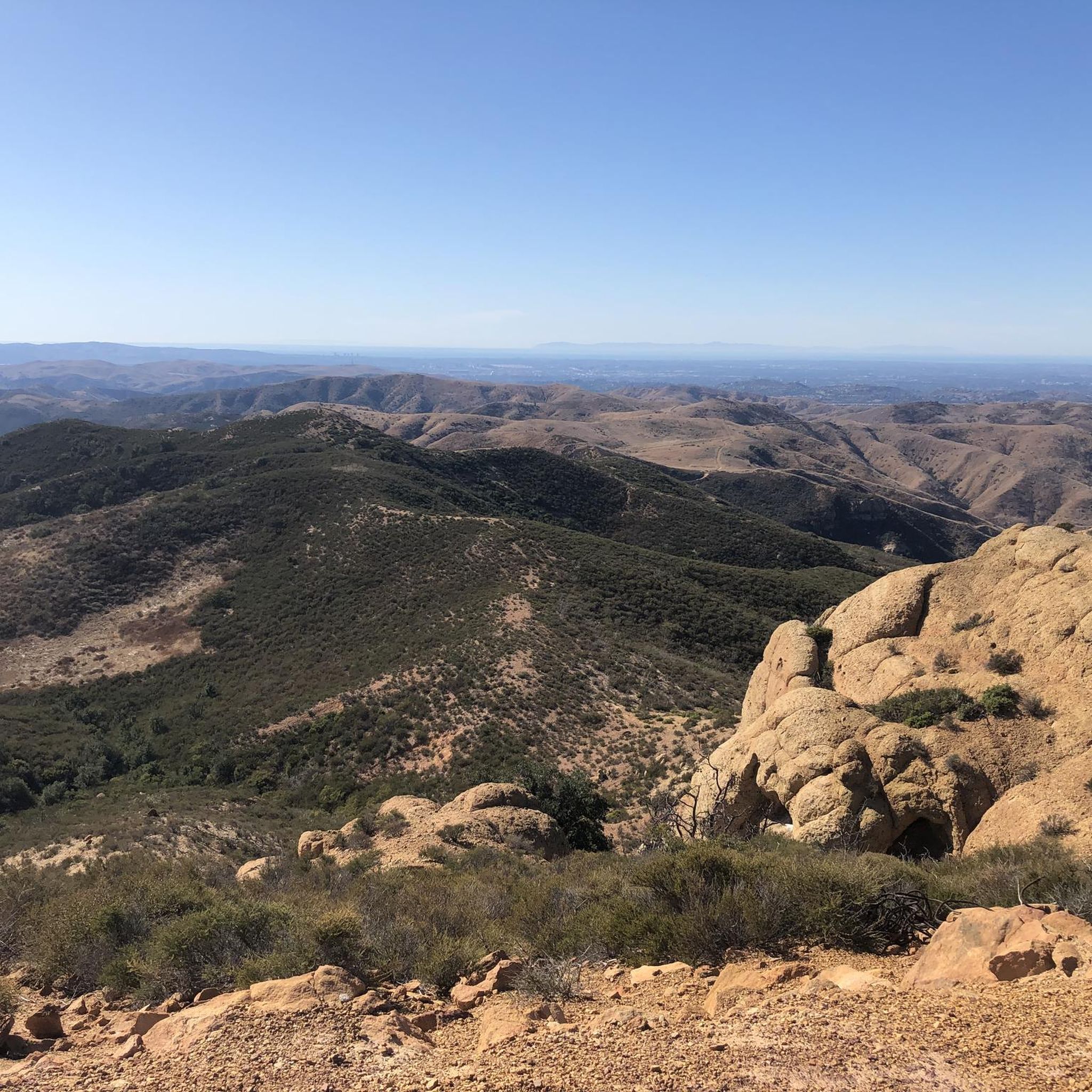
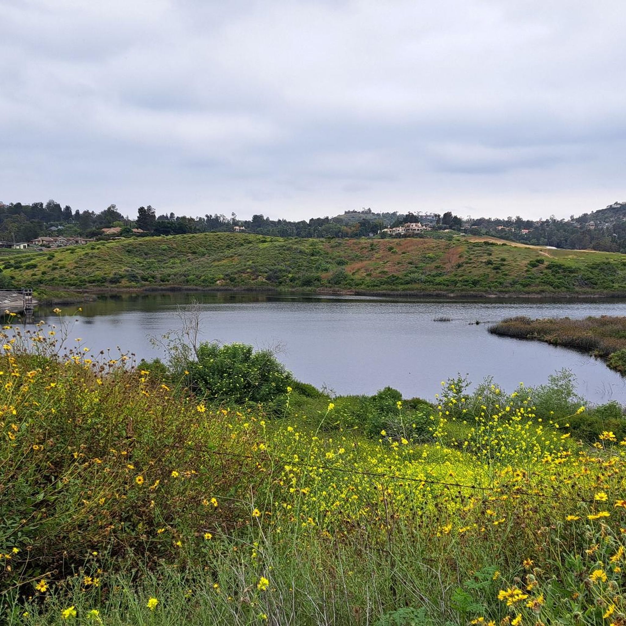
Other adventures in the Santa Ana Mountains

Tips from the Community

You can explore a variety of singletrack and wide gravel paths through the park. Some trails are shaded while others take you out above the canyon with vistas of Orange County. There are restrooms, picnic tables, and camping available. The park charges a $3 fee.
0
0

The Arroyo Trabuco Trail crosses the Trabuco Creek here (and a good number of times along the route). Depending on the season and conditions, you may well find that bombing through is not an option, so just be prepared for some wet feet.
0
0

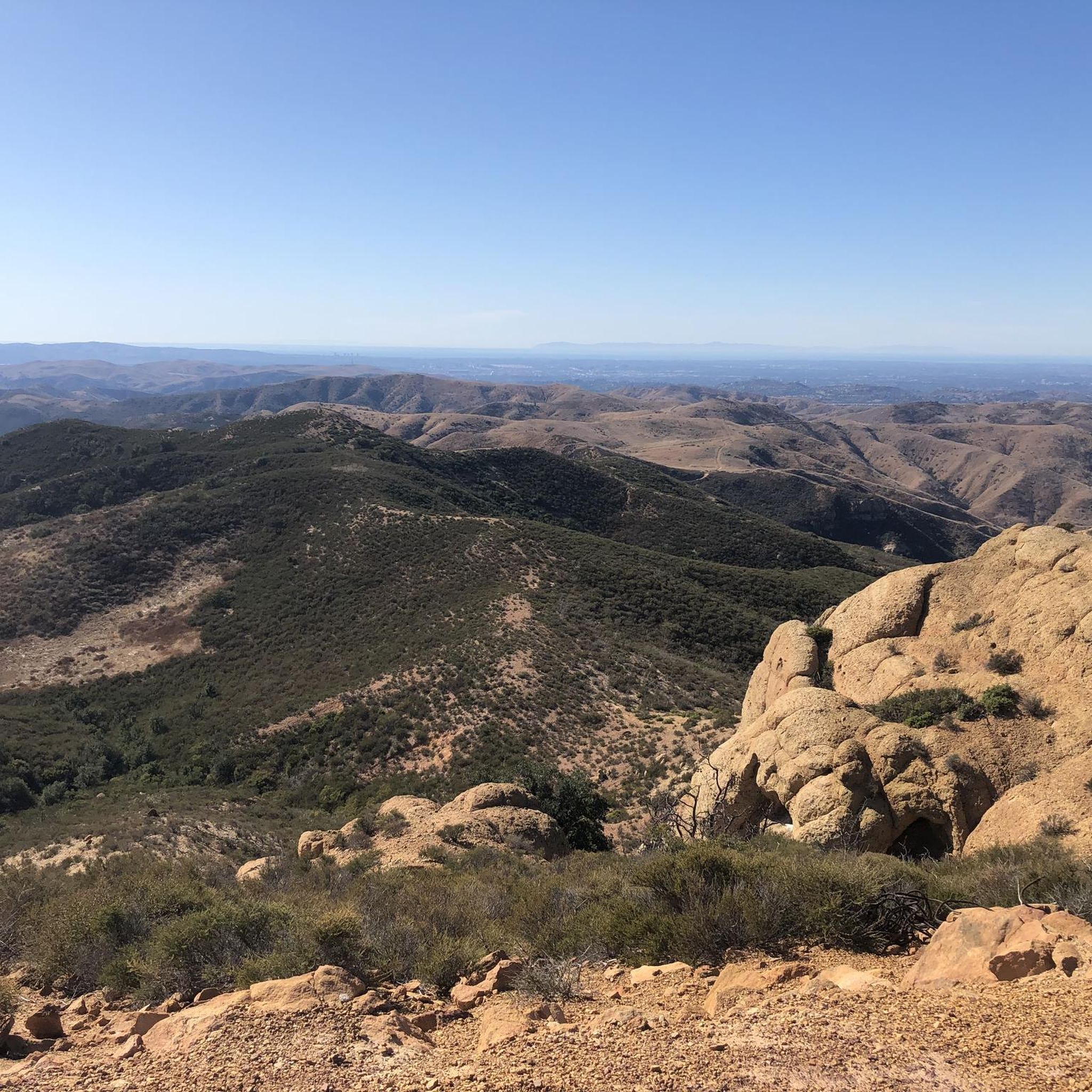
Whiting Ranch Wilderness Park is about 2,500 acres of diverse landscapes. There is about 17 miles of trails to run that take you through canyons, woodlands, rolling grasslands, and red‑rock formations
0
0
The Borrego Canyon Trail winds through oak woodlands and past creeks. The trail is somewhat challenging and will eventually take you to some dramatic red‐rock.
0
0

Santiago Canyon Road is a scenic favorite for road cyclists in Orange County. It’s a long, winding stretch with rolling hills, light traffic, and wide shoulders in most parts. The views of open hills and oak trees make the climb worth it, and you’ll find classic stops along the way for a break.
0
0
Cook’s Corner is a classic stop for cyclists riding through Santiago Canyon and one of the most popular biker hangouts in Southern California. It’s casual and bike-friendly, with shaded picnic tables and plenty of space to park. Grab a burger or a cold drink, rest your legs, and soak in the lively atmosphere—especially on weekends when it’s packed with motorcycles and live music.
0
0

This view of Sierra Peak showcases one of the highest and most easily identifiable peaks in northern Orange County. It stands at 3,045 feet above sea level.
1
0
The trail here is easy, flat, packed dirt along the neighborhood creek with ample shade. This is a great local trail and is relatively lightly trafficked. There is no parking at the western trailhead.
0
0
Frequently Asked Questions
How many gravel bike trails are available in the Santa Ana Mountains?
The Santa Ana Mountains offer a wide selection of gravel biking routes, with over 40 trails documented on komoot. These range from moderate to very difficult, providing options for various skill levels.
What is the best time of year to go gravel biking in the Santa Ana Mountains?
The best time to enjoy gravel biking in the Santa Ana Mountains is typically during the spring or fall. This avoids the extreme heat of summer, making for more comfortable and safer rides, especially on longer or more exposed routes like Harding Truck Trail.
Are there any challenging gravel routes for experienced riders?
Yes, the Santa Ana Mountains are known for their challenging terrain. Routes like the Picnic Rock Viewpoint – Sierra Peak Summit loop from Corona–West feature significant climbs, gaining nearly 1000 meters in elevation. Another demanding option is the Maple Springs gate loop from Black Star Canyon, which includes over 1100 meters of ascent.
What kind of terrain can I expect on gravel bike trails in the Santa Ana Mountains?
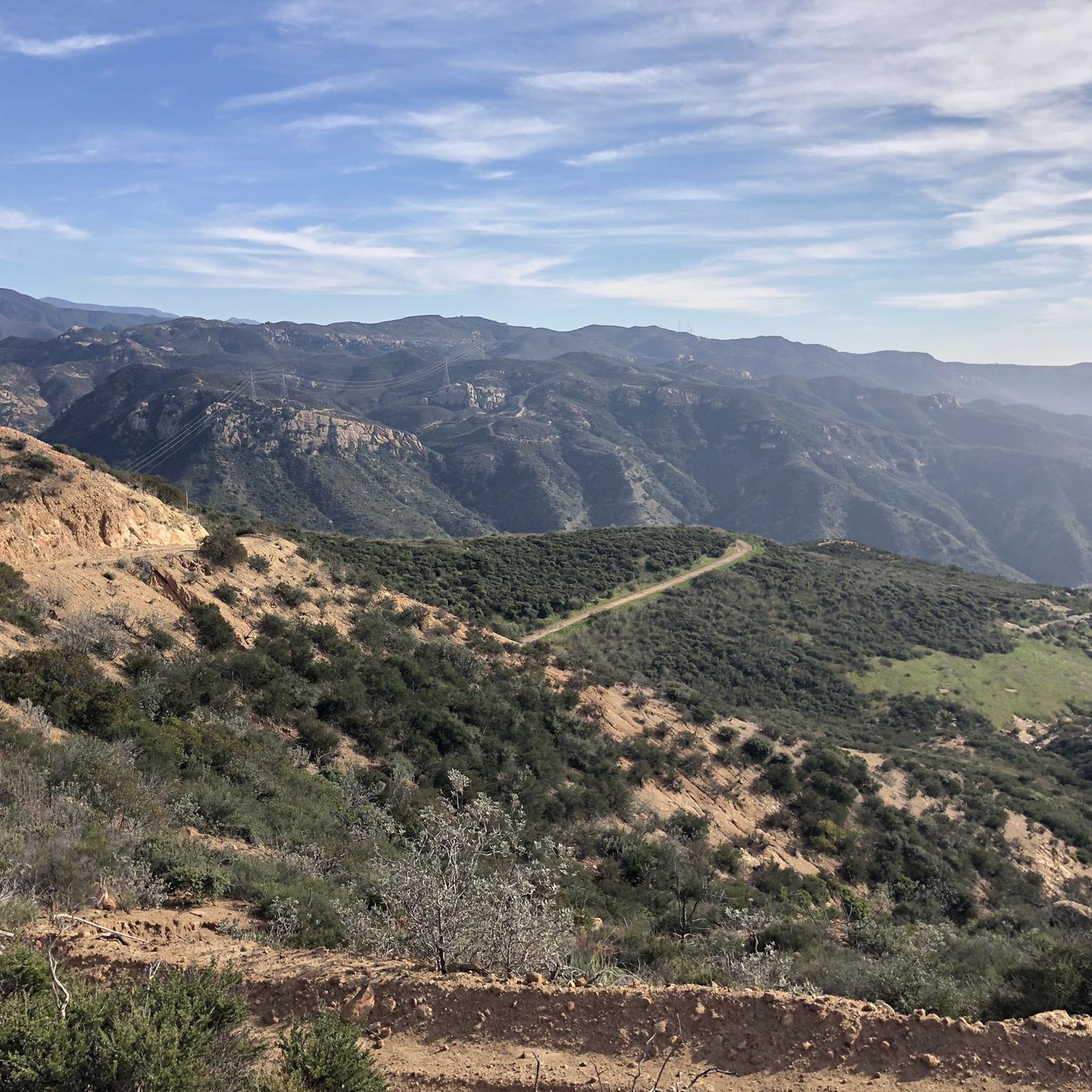
You can expect a diverse range of terrain, primarily consisting of extensive truck trails and fire roads. Many routes feature chunky gravel, some singletrack sections, and can include both paved and unpaved surfaces. The area is characterized by significant elevation changes, sandstone canyons, and varied ecosystems from chaparral to oak woodlands.
Are there any natural features or attractions to see along the gravel routes?
Absolutely. The Santa Ana Mountains boast diverse natural beauty. You can find stunning sandstone canyons, oak woodlands, and chaparral. Notable water features include Black Star Falls, a popular natural waterfall. Other highlights include Tenaja Falls and Holy Jim Falls. For scenic views, consider routes that pass by Upper Peters Canyon Reservoir or Lake Elsinore.
Are there any loop trails for gravel biking in the Santa Ana Mountains?
Yes, many gravel routes in the Santa Ana Mountains are designed as loops, allowing you to start and end at the same point. Examples include the Waterworks Flow Trail – Trabuco Creek loop from Santa Margarita Catholic High School and the Sierra Peak Summit – View of Sierra Peak loop from A, which offers a longer, more challenging experience.
What do other gravel bikers say about the trails in the Santa Ana Mountains?
The gravel biking routes in the Santa Ana Mountains are highly regarded by the komoot community, with an average rating of 4.7 stars from over 10 reviews. Riders often praise the challenging climbs, expansive views, and the diverse natural landscapes encountered along the trails.
Are there any beginner-friendly gravel bike trails in the Santa Ana Mountains?
While many routes are challenging, there are some options suitable for those newer to gravel biking. The region offers a mix of difficulty levels, including a couple of easy routes and 12 moderate trails. It's advisable to check the specific route details for elevation gain and terrain before heading out.
Where can I find parking for gravel bike trails in the Santa Ana Mountains?
Parking availability varies by trailhead. Many popular starting points, such as those near Black Star Canyon or Santiago Canyon, offer designated parking areas. It's recommended to check the tour details on komoot for specific parking information related to your chosen route.
Are there any places to eat or drink near the gravel biking trails?
Yes, a well-known spot for cyclists in the region is Cook's Corner in Santiago Canyon. It's a classic, bike-friendly stop known for its lively atmosphere, making it a popular choice for a break or a meal after a ride.
What kind of wildlife might I encounter while gravel biking?
The Santa Ana Mountains are home to diverse wildlife. You might spot mountain lions, bobcats, foxes, and various bird species like red-tailed hawks. The varied habitats, including coastal sage scrub, oak woodlands, and chaparral, support a rich biodiversity, so staying alert and respectful of nature is key.
Are there any long-distance gravel routes in the Santa Ana Mountains?
For those seeking longer rides, the Santa Ana Mountains offer several extensive routes. The View of Sierra Peak – Barham Ridge Trail viewpoint loop from Santiago Canyon College is one of the longest, covering nearly 70 kilometers with significant elevation gain, providing a full day's adventure.
Most popular routes in the Santa Ana Mountains
Most popular attractions in the Santa Ana Mountains

Get inspired with the komoot mobile app


Explore more
Browse the best Gravel rides in other regions.
