The best gravel rides in the Mollogon Rim
4.8
(4)
40
riders
10
rides
Gravel biking in the Mollogon Rim features routes across a prominent geological escarpment, offering diverse terrain for cyclists. The region is characterized by extensive Ponderosa pine forests, high cliffs of limestone and sandstone, and numerous mountain lakes. Riders can expect a mix of forest roads and trails, with elevations reaching up to 8,000 feet in some areas. This landscape provides varied gravel biking experiences, from challenging climbs to scenic forest paths.
Best gravel bike trails in the Mollogon Rim
- The…
Last updated: May 31, 2026
4.8
(4)
15
riders
18.3km
01:33
130m
130m
Hard gravel ride. Great for any fitness level. You may need to push your bike for some segments of this route.
7
riders
Moderate gravel ride. Good fitness required. Mostly paved surfaces. Suitable for all skill levels.

Sign up for free
6
riders
Moderate gravel ride. Good fitness required. Mostly paved surfaces. Suitable for all skill levels.
3
riders
75.4km
05:53
750m
760m
Hard gravel ride. Very good fitness required. Mostly paved surfaces. Suitable for all skill levels.
2
riders
15.1km
01:20
120m
120m
Easy gravel ride. Great for any fitness level. Mostly paved surfaces. Suitable for all skill levels.
7
riders
Moderate gravel ride. Good fitness required. Mostly paved surfaces. Suitable for all skill levels.
Get access to more routes and recommendations from other explorers.
Sign up for free
Already have an account?
Our route recommendations are based on thousands of hikes, rides, and runs completed by other people on komoot.
Start today with a free account
Your next adventure awaits.
Login or Signup
Popular around Mollogon Rim

Grand Enchantment Trail — Slot canyons, spruce peaks & desert solitude

Arizona Trail — A beautiful 800-mile struggle

Bikepack in America's southwest – deserts, cacti and Anasazi culture

The Arizona Trail — From Mexico to Utah in 43 days

Highline National Recreation Trail – The High Road around the Mogollon Rim

Historic Route 66 – curiosities, selfie spots and diners

MTB in cactus country – technical delicacies around Phoenix
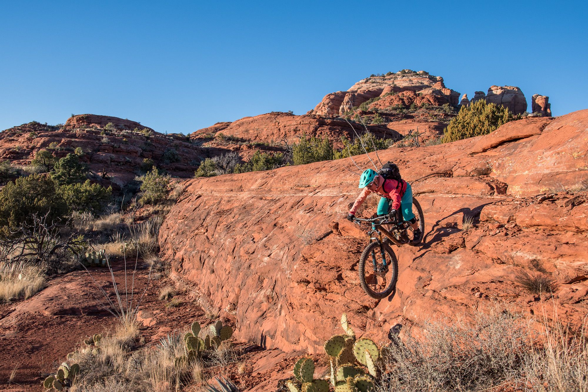
Shred the Red – Mountain biking in Sedona’s MTB hotspot
Hiking in the Mollogon Rim
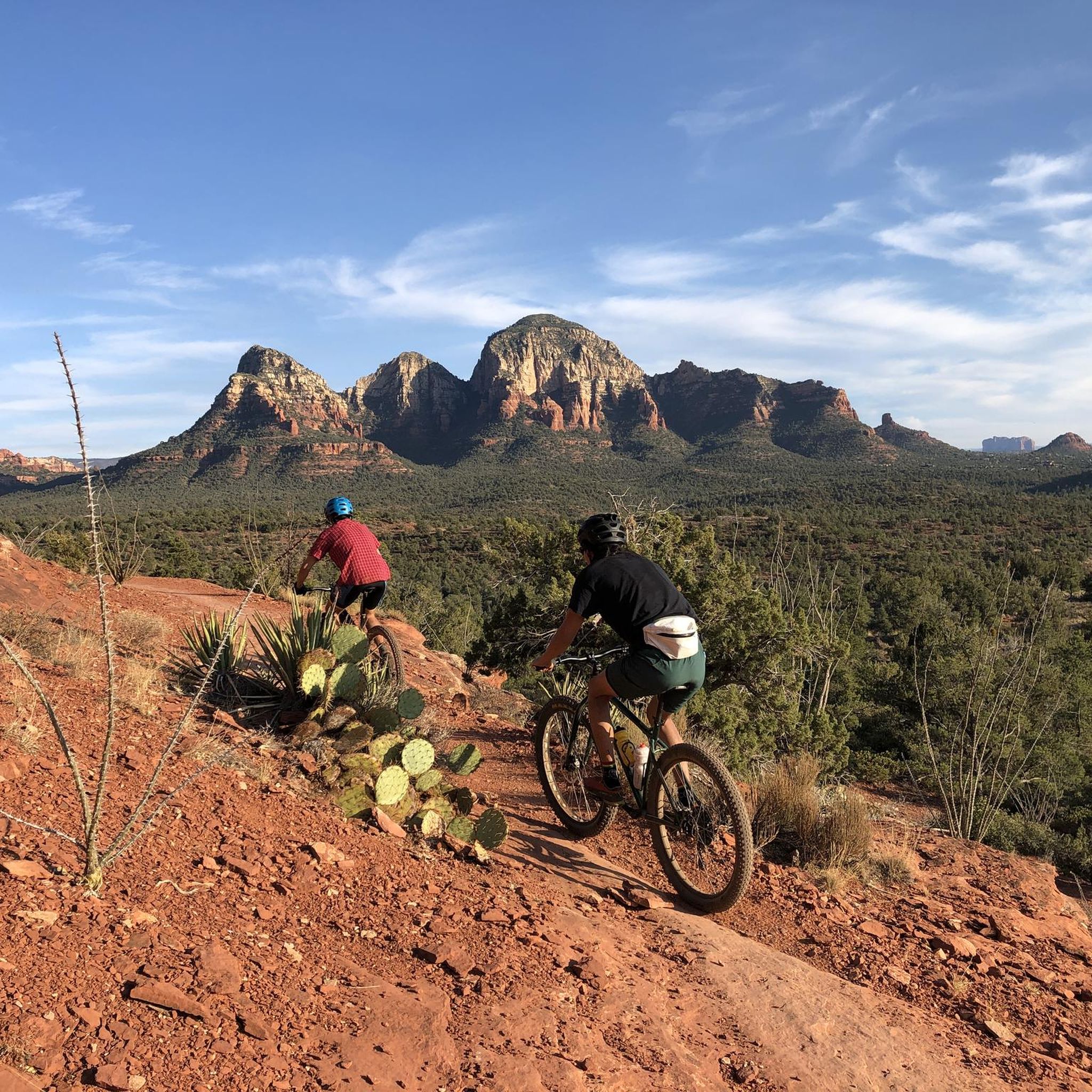
MTB Trails in the Mollogon Rim
Other adventures in the Mollogon Rim


Tips from the Community

The natural wonder that is Balanced Rock is one of the most photographed locations in the McDowell Preserve. You'll need to keep an eye out for other trail users, which makes this a great place to stop and have a water/snack break before continuing your ride.
0
0

Reaching the top of South Cat Peak above Apache Junction treats mountain bikers to serene desert panoramas after a moderate ride up the trail. Challenge yourself pedaling over rocky inclines before stopping at a peaceful summit bench to soak in 360 degree views. It's an easy trail most of the way with rewarding vistas at the top.
0
0

The Levee Trail follows the south side of the Pass Mountain Diversion Channel. It is a long, flat gravel ride with great views and gives the rider a feeling of the wilderness around Phoenix.
1
0
Here is a great view of Superstition Mountain. Look for the mountain's two major peaks: Superstition Peak or "Peak 5057" at an elevation of 5,059 feet (1,542 m) Flatiron Peak or "Peak 5024" at an elevation of 5,024 feet (1,531 m)
0
0

This trail offers a less crowded and well groomed experience. You may occasionally encounter mountain bikers or horseback riders, but it provides a great option to enjoy a mostly solitary ride.
0
0
Moon Rock Trail is a hiking and mountain biking trail but one of the easier gravel rides, being smooth with packed dirt, being described as "flowing easy singletrack" and tral with great scenery and round smooth "moon rocks" all around this landscape.
0
0
This area actively promotes the creation and conservation of scarce riparian (the interface between land and a river) areas. Abounding with lakes, it features paved paths and boardwalks along the waterfront, providing opportunities to observe a diverse range of wildlife.
1
0
The wetlands here area a vital resource for local wildlife & migratory birds. It's a good place to get off the bike and enjoy some quiet moments by the water.
0
0
Frequently Asked Questions
How many gravel bike trails are available in the Mogollon Rim?
The Mogollon Rim offers 10 distinct gravel biking routes, catering to various skill levels. These routes are highly rated by the komoot community, with an average score of 4.75 stars.
What kind of terrain can I expect on gravel bike trails in the Mogollon Rim?
Gravel biking in the Mogollon Rim features diverse terrain, from extensive Ponderosa pine forests to high cliffs of limestone and sandstone. You'll encounter a mix of thick gravel and fast dirt on forest roads, with routes reaching elevations around 8,000 feet. The region's dramatic escarpment provides varied experiences, from challenging climbs to scenic forest paths.
Are there any beginner-friendly gravel bike routes in the Mogollon Rim?
Yes, there are routes suitable for beginners. For example, the Balanced Rock – Balanced Rock loop from Reata Pass is rated as easy, covering 9.3 miles (15 km) with moderate elevation changes, making it a good option for those new to gravel biking in the area.
What are some of the more challenging gravel bike trails in the Mogollon Rim?
For experienced riders seeking a challenge, routes like the Double Springs Campground – Old Railroad Track loop from Kachina Village offer significant elevation changes over 46.8 miles (75.4 km). Another difficult option is the Fort Tuthill County Park loop from Ponderosa Trails, which is 9.7 miles (15.6 km) long.
What natural features or landmarks can I see along the gravel bike trails?
The Mogollon Rim is rich in natural beauty. You can expect panoramic views of Arizona's wilderness, extensive Ponderosa pine forests, and pristine mountain lakes such as Woods Canyon Lake and Willow Springs Lake. Specific viewpoints like Rim Lakes Vista and Military Sinkhole offer stunning vistas. While gravel biking, you might also encounter sections of the Arizona Trail, which passes through areas like Pine Canyon.
Are there any loop gravel bike trails in the Mogollon Rim?
Many of the gravel biking routes in the Mogollon Rim are loops, offering a convenient way to explore without retracing your steps. Examples include the View of Red Mountain loop from Schlechts Butte and the Gravel loop from Northern Arizona University.
What is the best time of year to go gravel biking in the Mogollon Rim?
The extensive Ponderosa pine forests of the Mogollon Rim offer a cool escape from the desert heat, making summer months a popular time for gravel biking. However, spring and fall also provide pleasant temperatures and vibrant scenery. Winter biking is possible but requires checking weather conditions due to potential snow and ice at higher elevations.
Are there any family-friendly gravel biking options in the Mogollon Rim?
While many routes involve significant elevation changes, some sections of forest roads or shorter, easier loops can be suitable for families. The region's numerous lakes and campgrounds also provide excellent opportunities for combining a short ride with other family activities like picnicking or fishing.
Where can I find parking for gravel biking trailheads in the Mogollon Rim?
Many gravel biking routes in the Mogollon Rim start from established trailheads or campgrounds, which typically offer parking facilities. For instance, routes may begin near locations like Fraesfield Mountain Trailhead or Double Springs Campground, where parking is generally available.
What do other gravel bikers enjoy most about gravel biking in the Mogollon Rim?
The area is highly rated by the komoot community, with an average score of 4.75 stars from over 40 gravel bikers. Reviewers often praise the dramatic geological formations, the extensive pine forests providing a cool escape, and the spectacular panoramic views from the Rim's edge.
Are there any waterfalls or canyons to explore near the gravel biking routes?
Yes, the Mogollon Rim region is known for its dramatic topography, including canyons and potential seasonal waterfalls. You can find highlights like Boulder Pools, which is a waterfall, and various canyons such as Fossil Creek Canyon and Pine Canyon. The Salt River Canyon - Cibecue Creek Crossing is another notable canyon in the area.
Most popular routes in the Mollogon Rim
Most popular attractions in the Mollogon Rim

Get inspired with the komoot mobile app


Explore more
Browse the best Gravel rides in other regions.
