The best gravel rides around Stadtlengsfeld
4.4
(13)
39
riders
7
rides
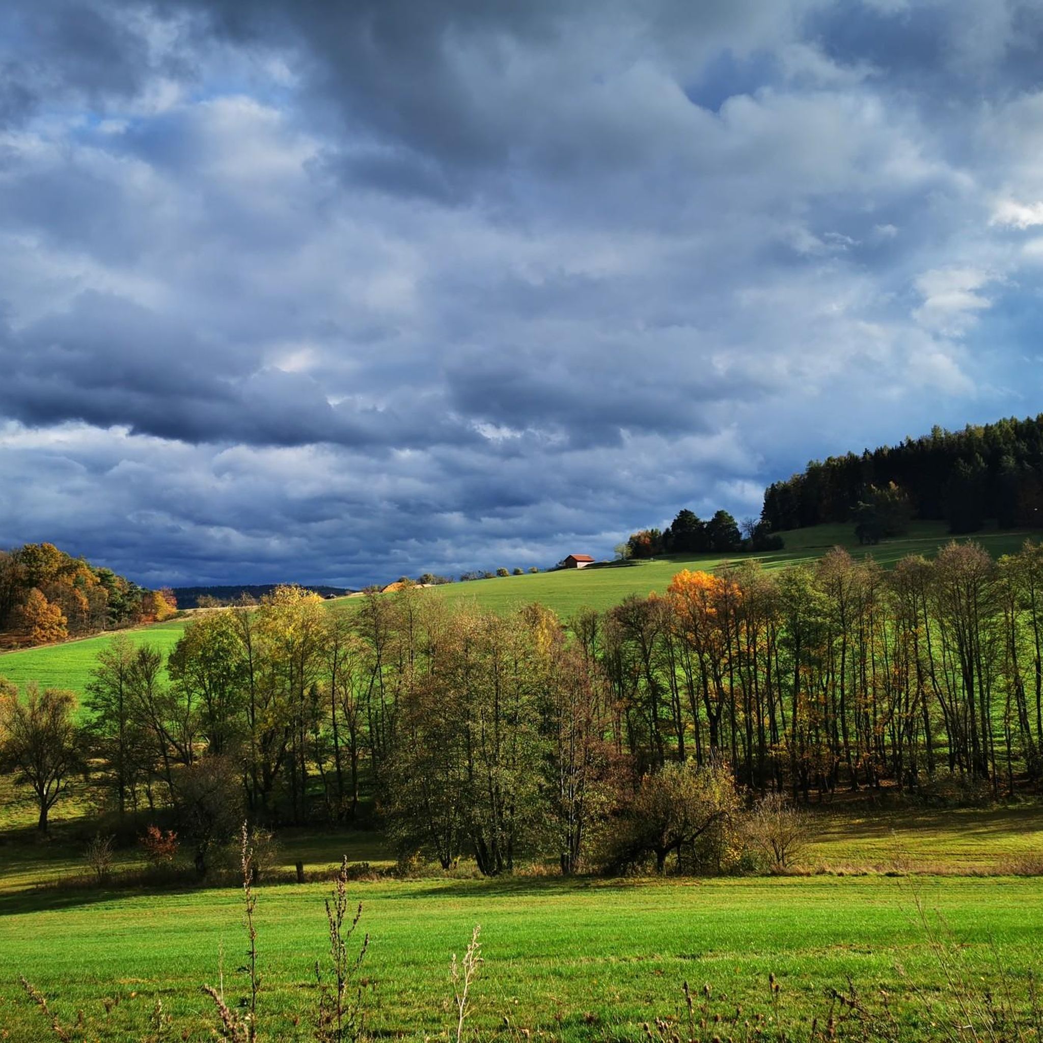
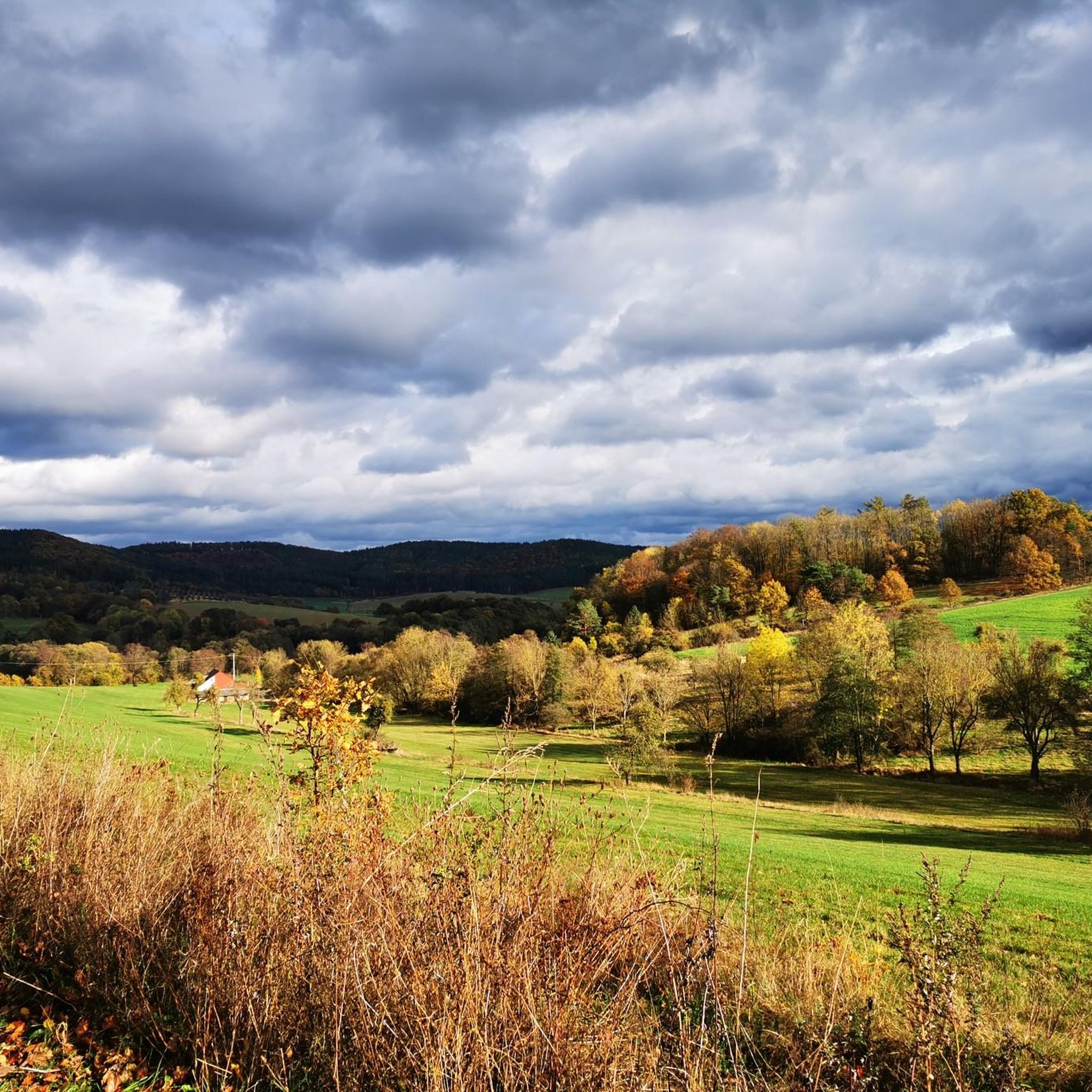
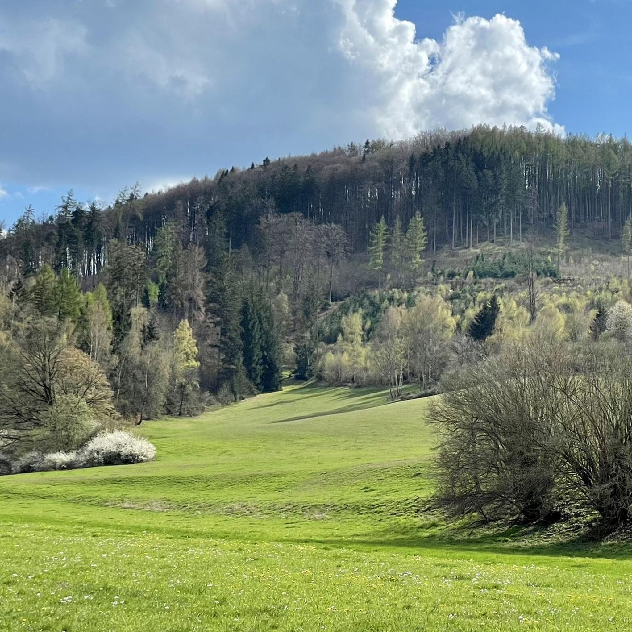
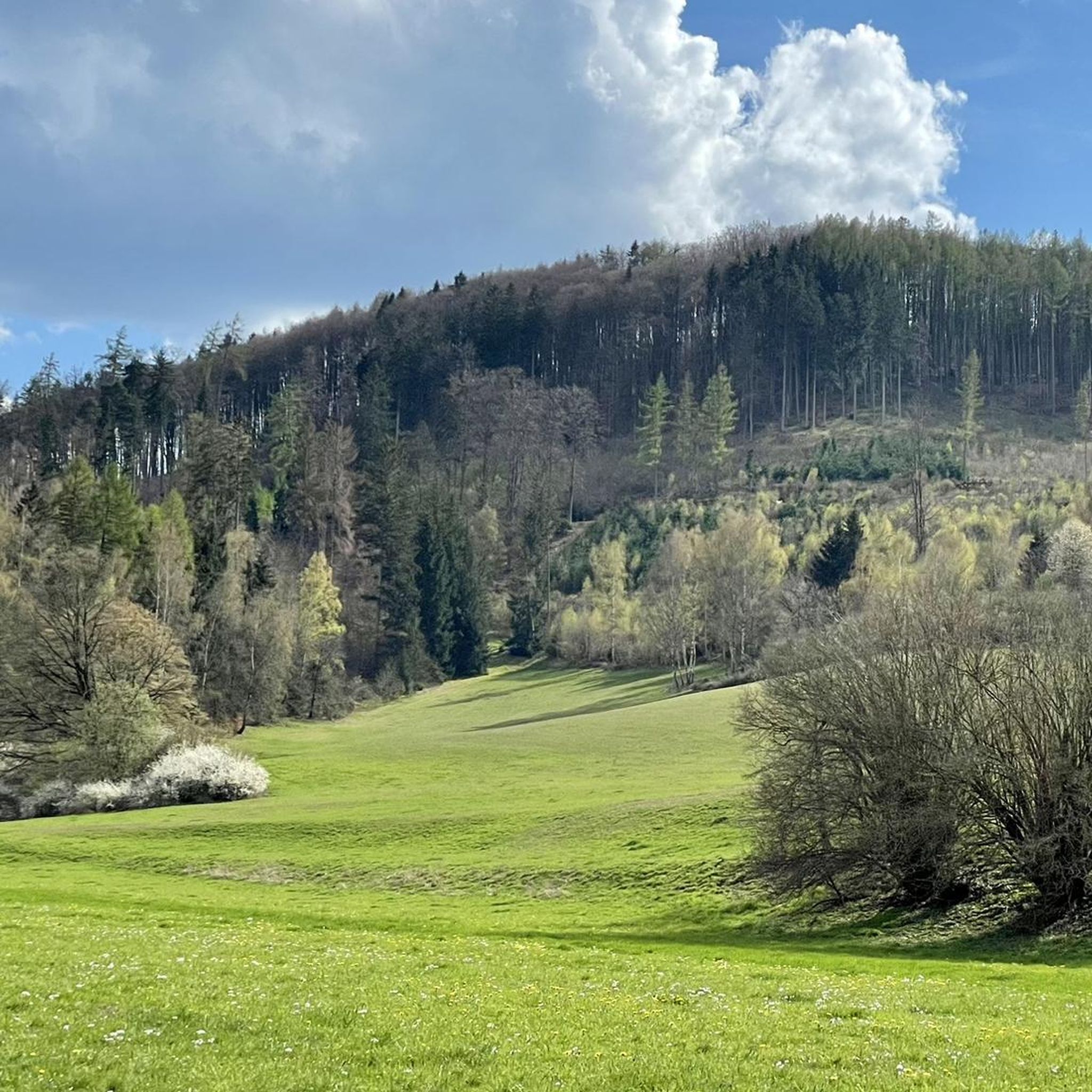
Gravel biking around Stadtlengsfeld offers access to the diverse landscapes of the Rhön Mountains and the Thuringian Forest. The region features a mix of low mountain ranges, open plateaus, and dense woodlands, providing varied terrain for gravel riders. Routes often combine gravel paths, tracks, and cycle paths, with some sections on well-graded forest roads. This area is characterized by its hilly terrain, river valleys, and expansive views across natural landscapes, including ancient volcanic formations.
Best gravel bike trails around Stadtlengsfeld
…Last updated: October 20, 2026
4.8
(8)
11
riders
28.4km
01:47
440m
440m
Moderate gravel ride. Good fitness required. Mostly paved surfaces. Suitable for all skill levels.
6
riders
72.2km
04:38
1,120m
1,120m
Hard gravel ride. Very good fitness required. Mostly paved surfaces. Suitable for all skill levels.

4
riders
25.5km
01:34
400m
400m
Moderate gravel ride. Good fitness required. Mostly paved surfaces. Suitable for all skill levels.
4.0
(2)
5
riders
26.1km
01:36
370m
370m
Moderate gravel ride. Good fitness required. Mostly paved surfaces. Suitable for all skill levels.
3
riders
19.2km
01:10
290m
290m
Moderate gravel ride. Good fitness required. Mostly paved surfaces. Suitable for all skill levels.
Get access to more routes and recommendations from other explorers.
Already have an account?
Our route recommendations are based on thousands of hikes, rides, and runs completed by other people on komoot.
Start today with a free account
Your next adventure awaits.
Tips from the Community

Far view into the landscape and time for a rest in the shade.
0
0

Very nice new rest area.
8
0

Completes the traffic light, great system.
6
0

It was nice and cool at the graduation tower.
0
0

From here you can enjoy a wonderful view over the Werra Valley.
1
0
The Celtic Trail is long. The Kneipp pool in Wölferbütt offers the opportunity to cool off sore feet and get your circulation going again.
2
0
The Celtic Trail is long. At the Kneipp pool in Wölferbütt, you can cool your sore feet and stimulate your circulation.
0
0
Frequently Asked Questions
How many gravel bike trails are available around Stadtlengsfeld?
There are 15 gravel bike trails around Stadtlengsfeld, offering a variety of experiences for different skill levels. These routes are highly rated by the komoot community, with an average score of 4.8 stars.
What kind of terrain can I expect on gravel bike trails near Stadtlengsfeld?
The region offers diverse terrain, from the open vistas of the Rhön Mountains to the dense woodlands of the Thuringian Forest. You'll encounter a mix of gravel paths, tracks, and cycle paths, with some sections on well-graded forest roads and natural paths. Expect hilly terrain and expansive views across the natural landscapes.
Are there routes suitable for beginners or families?
Yes, there are routes suitable for various fitness levels. While many routes feature significant elevation changes, you can find moderate options. For example, the Immelborn pond – Pleß Post Column loop from Bad Salzungen is a moderate 16.5-mile trail with an elevation gain of over 410 meters, offering a good balance for those looking for a less strenuous ride.
Are there more challenging routes for experienced gravel bikers?
Absolutely. For experienced riders seeking a challenge, routes like the Werra Cycle Route – Breitungen Lake loop from Oberrohn offer a difficult 43.1-mile path with significant elevation changes, climbing over 570 meters through varied terrain. The region's low mountain ranges provide plenty of opportunities for demanding rides.
Can I find circular gravel bike routes in the area?
Yes, many of the gravel bike trails around Stadtlengsfeld are designed as loops, allowing you to start and end at the same point. Examples include the Rhäden Nature Reserve – View of Monte Kali loop from Philippsthal (Werra) and the Werratal Cycle Path – Werra Weir in Tiefenort loop from Bad Salzungen.
What natural features or viewpoints can I see along the gravel routes?
The trails often lead through areas with breathtaking open views, native forests, and past small water spots and meadows. You can also find specific viewpoints like the Pleß Tower or the Öchsenberg Summit and Celtic Cross, offering expansive vistas of the Rhön Mountains and surrounding landscapes.
Are there any historical or cultural landmarks near the gravel trails?
Yes, the region is rich in history and culture. Along your rides, you might encounter landmarks such as the Brine Tower and Graduation Tower in Bad Salzungen, or the historic Werrabrücke Vacha (Bridge of Unity). The broader area also features sites like the Merkers Mine Experience and Point Alpha, offering insights into the region's past.
What is the best time of year to go gravel biking around Stadtlengsfeld?
The region is suitable for gravel biking across multiple seasons. The Rhön Mountains and Thuringian Forest offer beautiful scenery year-round. While specific seasonal conditions can vary, spring and autumn generally provide pleasant temperatures and vibrant landscapes. Some routes, like the 'Geröder Winterrunde' mentioned in the Rhön, are even designed for colder months, suggesting year-round possibilities.
Are there any places to stop for refreshments or a break along the routes?
Yes, you can find places to stop and rest. Some routes pass by facilities like the Rest area on the Felda River or huts such as the Oechsenberg Hut and the Rhönpaulus Rest Area. These spots provide opportunities for a break and to enjoy the surroundings.
Is it easy to access the gravel trails by public transport?
While specific public transport connections to every trailhead can vary, towns like Bad Salzungen, which serve as starting points for some routes, are generally accessible by regional public transport. It's advisable to check local bus and train schedules for specific connections to your chosen starting point.
Where can I park my car when starting a gravel bike tour?
Many trailheads in and around towns like Bad Salzungen, Oberrohn, and Philippsthal (Werra) offer parking facilities. When planning your tour, look for designated parking areas near the start of your chosen route to ensure convenient access.
Are the gravel trails around Stadtlengsfeld dog-friendly?
Many natural paths and forest roads in the Rhön Mountains and Thuringian Forest are suitable for cycling with dogs, provided they are well-behaved and kept under control. Always ensure your dog is comfortable with the distance and terrain, and respect local regulations regarding dogs in nature reserves or specific areas.
Most popular routes around Stadtlengsfeld
Most popular attractions around Stadtlengsfeld

Get inspired with the komoot mobile app


Explore more
Browse the best Gravel rides in other regions.
