The best gravel rides around Diedorf/Rhön
4.5
(4)
10
riders
3
rides
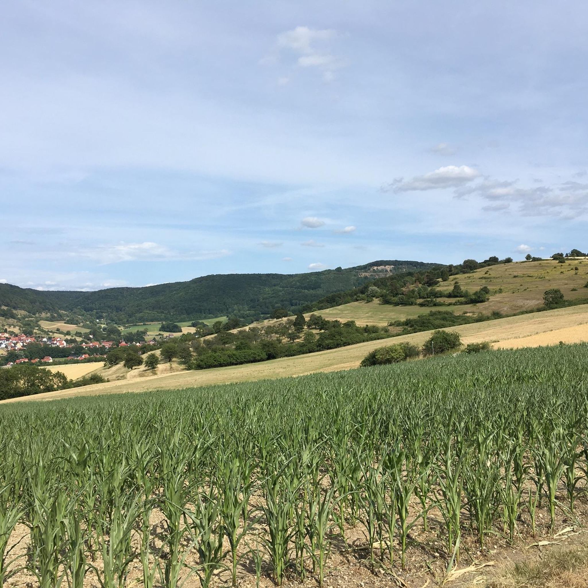
Gravel biking around Diedorf/Rhön offers a diverse landscape for exploration within the UNESCO Biosphere Reserve Rhön. The region is characterized by rolling hills, historic rail trails, and forested areas, providing varied terrain for gravel cyclists. Its "Kuppenrhön" landscape features distinctive dome-shaped hills, dense forests, and expansive meadows. This varied topography ensures a mix of roads, cycle paths, gravel tracks, and even grassy paths.
Best gravel bike trails around Diedorf/Rhön
- The most popular gravel bike trail is Felda Rail Trail –…
Last updated: July 16, 2026
4.0
(2)
5
riders
26.1km
01:36
370m
370m
Moderate gravel ride. Good fitness required. Mostly paved surfaces. Suitable for all skill levels.
5.0
(2)
3
riders
59.9km
03:55
1,050m
1,050m
Hard gravel ride. Very good fitness required. Mostly paved surfaces. Suitable for all skill levels.

Sign up for free
2
riders
25.3km
01:33
370m
370m
Moderate gravel ride. Good fitness required. Mostly paved surfaces. Suitable for all skill levels.
Our route recommendations are based on thousands of hikes, rides, and runs completed by other people on komoot.
Start today with a free account
Your next adventure awaits.
Login or Signup
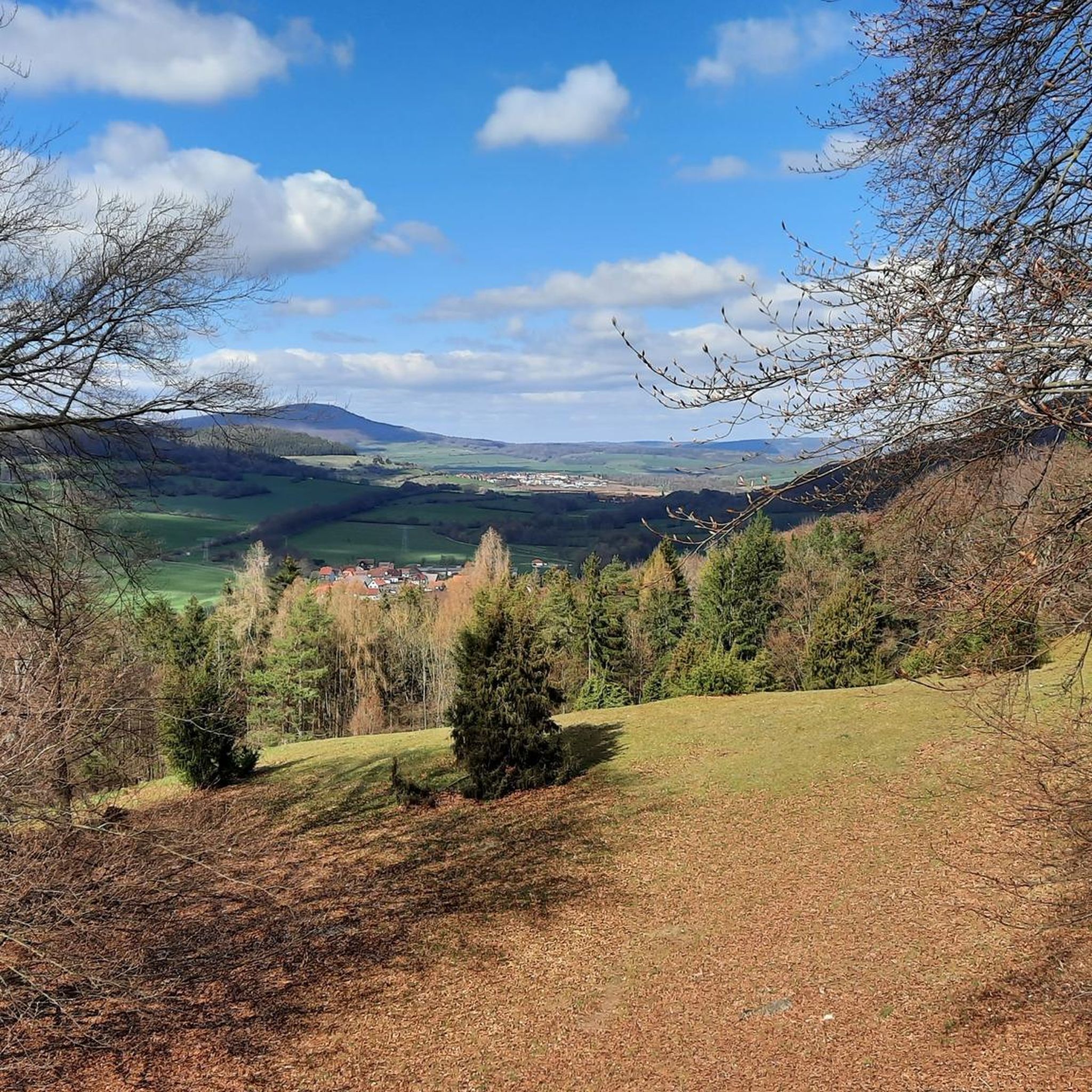
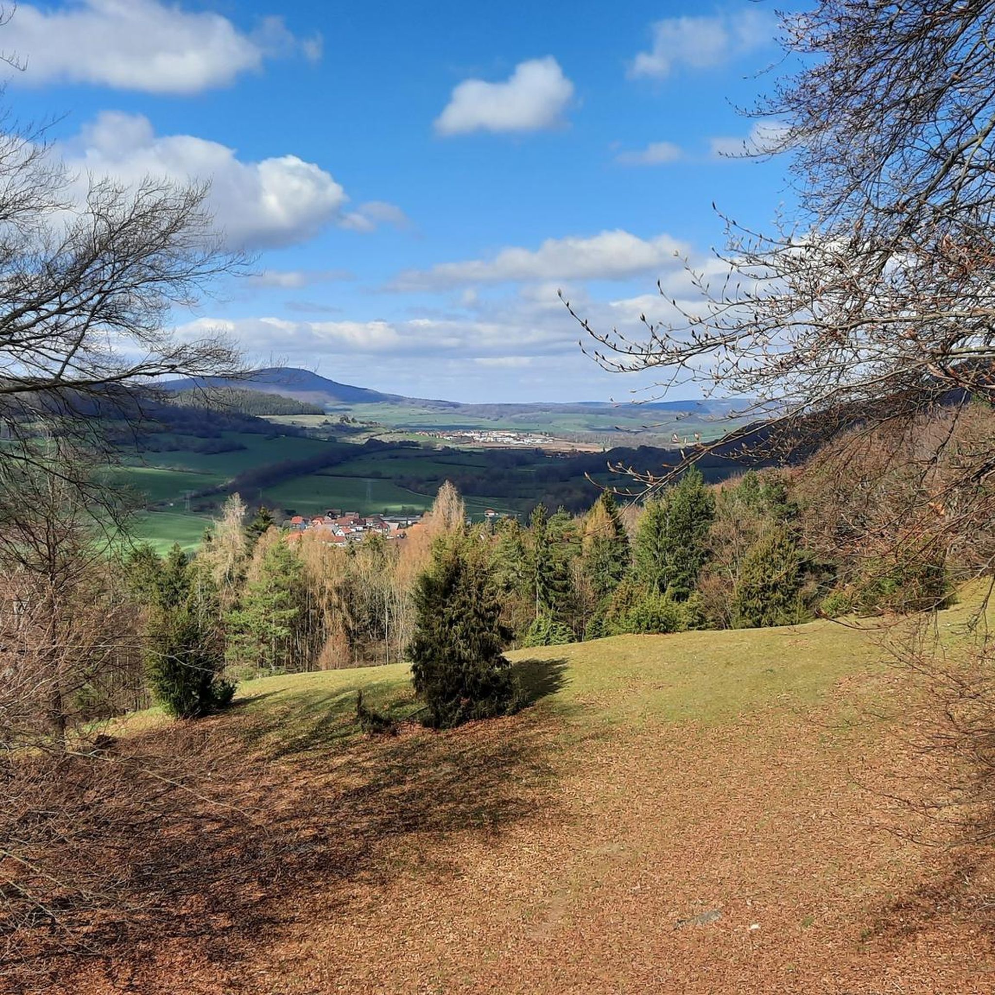
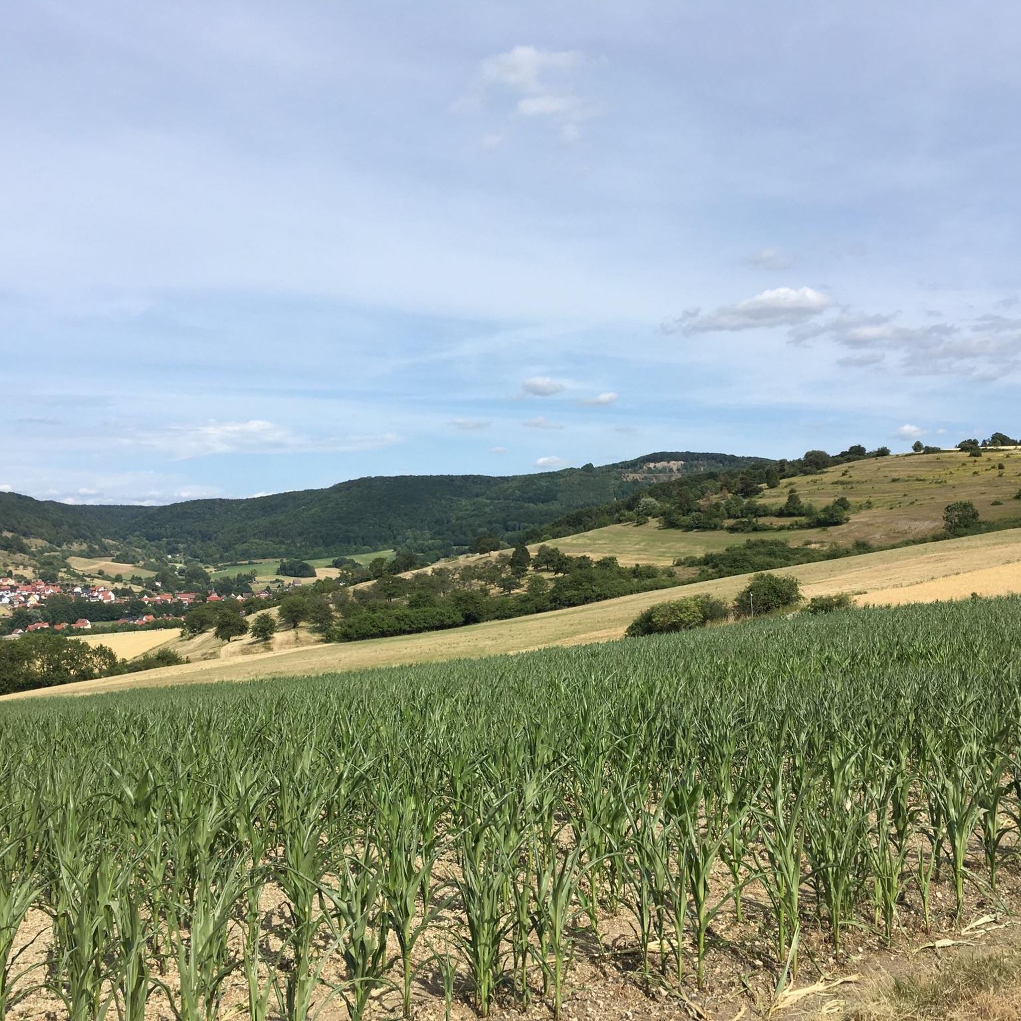
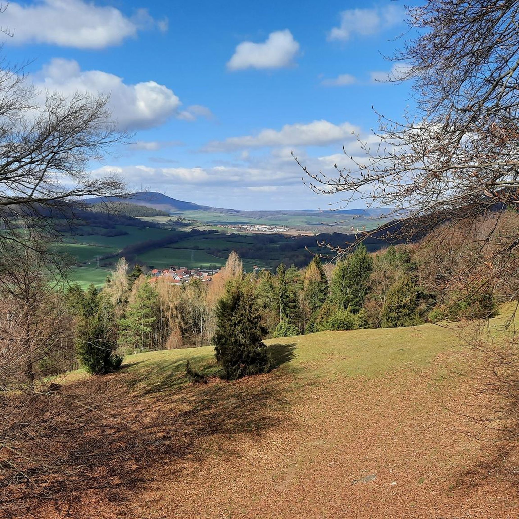
Tips from the Community

Very worthwhile to walk there - beautiful view from the tower.
0
0

Oll Oll Oll Oll Oll oll oll ä Pop Pop LOL Oll LOL LOL LOL LOL LOL Oll Oll p ö Oll Oll Mol Oll LL LL LL LOL komm l p
0
2


Here, on the fourth highest mountain in the Rhön, the Hessian-Bavarian border runs... from here, if the weather is good, you can see the Lange Rhön. At the summit, there is a German Telekom transmission tower that can be seen from far away.
12
0

Great surface and very good for riding on a racing bike.
1
0

Demanding, but scenically beautiful!
0
0

In the Hessian part of the UNESCO Rhön Biosphere Reserve lies the Rotes Moor nature reserve (size: 314.7 ha), designated in 1979.
9
0
Thanks to its central location in the border triangle of Hesse, Bavaria and Thuringia, the Wasserkuppe in the UNESCO Rhön Biosphere Reserve is easily accessible from all directions.
10
0
Frequently Asked Questions
How many gravel bike trails are available in Diedorf/Rhön?
There are 6 gravel bike trails around Diedorf/Rhön listed in this guide, offering a range of experiences from moderate to difficult.
Are there any easy gravel bike trails suitable for beginners in Diedorf/Rhön?
While most routes in this guide are moderate to difficult, beginners might find the moderate trails more approachable. Consider starting with the Felda Rail Trail – Hohe Asch Summit loop from Dermbach or the Hohe Asch Summit – Felda Rail Trail loop from Empfertshausen, both offering a good introduction to the region's gravel paths without extreme challenges.
What are the typical durations for gravel bike trails in Diedorf/Rhön?
Trail durations vary depending on the route and your pace. The moderate trails, like the Felda Rail Trail loops, typically take around 1 hour 30 minutes to 2 hours. More challenging routes, such as the Tann Town Gate – Klausmarbach Viaduct loop from Tann (Rhön), can take over 5 hours to complete.
What kind of terrain can I expect on gravel bike routes in Diedorf/Rhön?
The Diedorf/Rhön region is known for its diverse gravel terrain, including historic rail trails, rolling hills, and forested areas. You'll encounter varied surfaces, from compacted gravel to some more rugged sections, often with significant elevation changes, especially on routes leading to summits.
Are there any advanced or challenging gravel routes in Diedorf/Rhön?
Yes, Diedorf/Rhön offers several challenging routes for experienced gravel bikers. The View of Wasserkuppe – View of Wasserkuppe loop from Dippach is a difficult 37.1-mile path with substantial climbing and expansive views. Another demanding option is the Milseburg Tunnel – View of Bieberstein Castle loop from Unterweid, which includes varied terrain and a tunnel.
What can I see along the gravel bike trails in Diedorf/Rhön?
Many routes offer scenic views and pass by interesting landmarks. You might encounter historic structures like the Klausmarbach Viaduct or enjoy views towards the Wasserkuppe. The region also features natural highlights such as the Noah's Segel Observation Tower on the Ellenbogen and the Gläserberg Summit.
Are there any loop trails for gravel biking in Diedorf/Rhön?
Yes, all the gravel bike routes featured in this guide are designed as loops, allowing you to start and finish at the same point. This includes popular options like the Tann Town Gate – Klausmarbach Viaduct loop from Tann (Rhön) and the Felda Rail Trail – Hohe Asch Summit loop from Dermbach.
What do other gravel bikers enjoy most about gravel biking in Diedorf/Rhön?
The area is highly rated by the komoot community, with an average score of 5.0 stars. Reviewers often praise the diverse landscape, the mix of historic rail trails and challenging ascents, and the scenic views of prominent local landmarks and natural features.
What is the best time of year for gravel biking in Diedorf/Rhön?
Spring through autumn generally offers the best conditions for gravel biking in Diedorf/Rhön, with milder temperatures and vibrant scenery. While winter riding is possible, be prepared for colder temperatures, potential snow or ice, and shorter daylight hours, especially on higher elevations.
Are there any specific attractions or viewpoints accessible by gravel bike in the region?
Absolutely. Many routes offer access to notable viewpoints and attractions. For instance, you can reach the Noah's Segel Observation Tower on the Ellenbogen, enjoy views of Auersburg Castle Ruins, or pass by the Bernshäuser Kutte lake on various trails.
Are there opportunities for wildlife spotting along the gravel trails?
The forested areas and natural landscapes of the Rhön region provide opportunities for wildlife spotting. Keep an eye out for local fauna, especially during quieter times of day, as you cycle through the diverse habitats.
Most popular attractions around Diedorf/Rhön

Get inspired with the komoot mobile app


Explore more
Browse the best Gravel rides in other regions.
