The best gravel rides around Umpferstedt
4.7
(43)
200
riders
30
rides
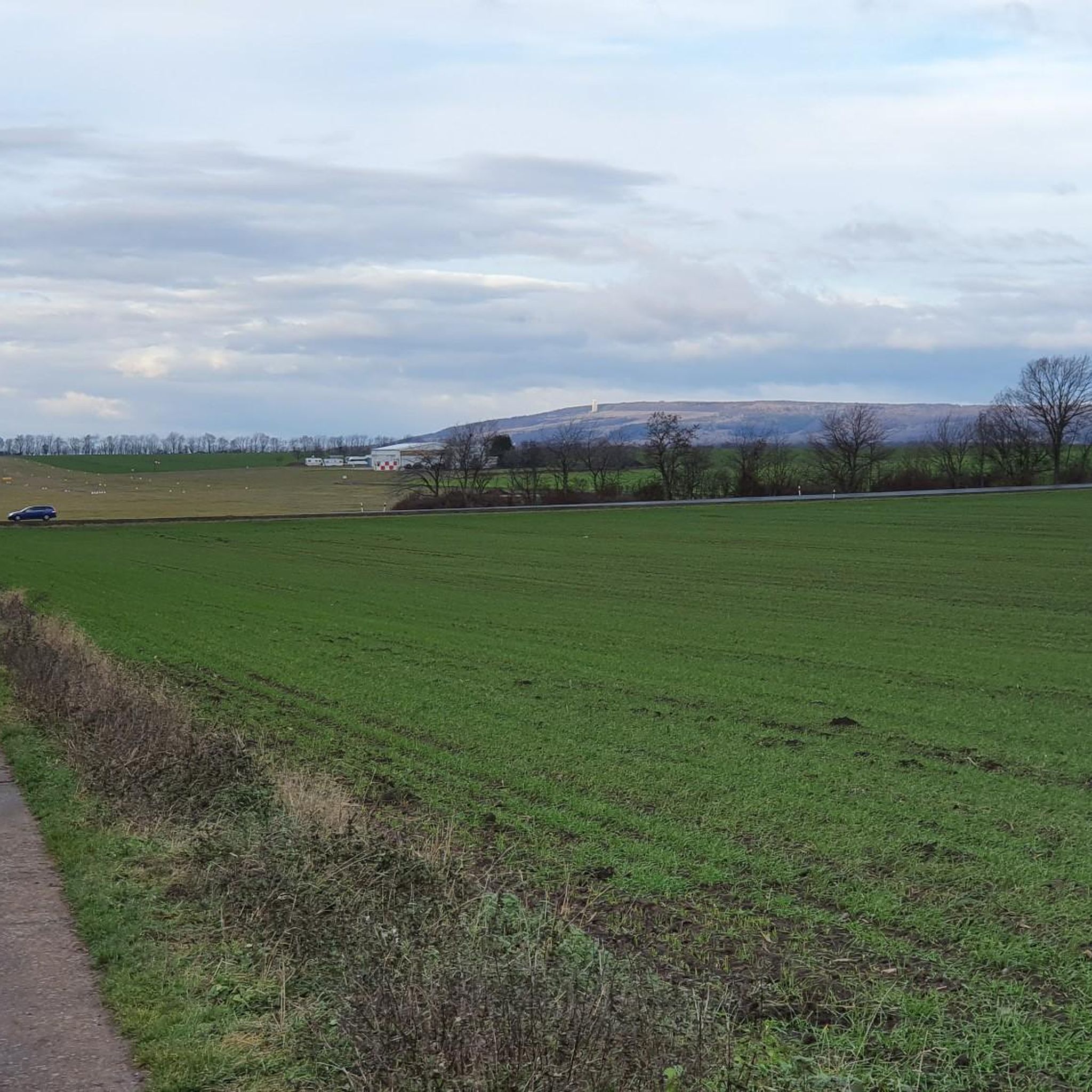
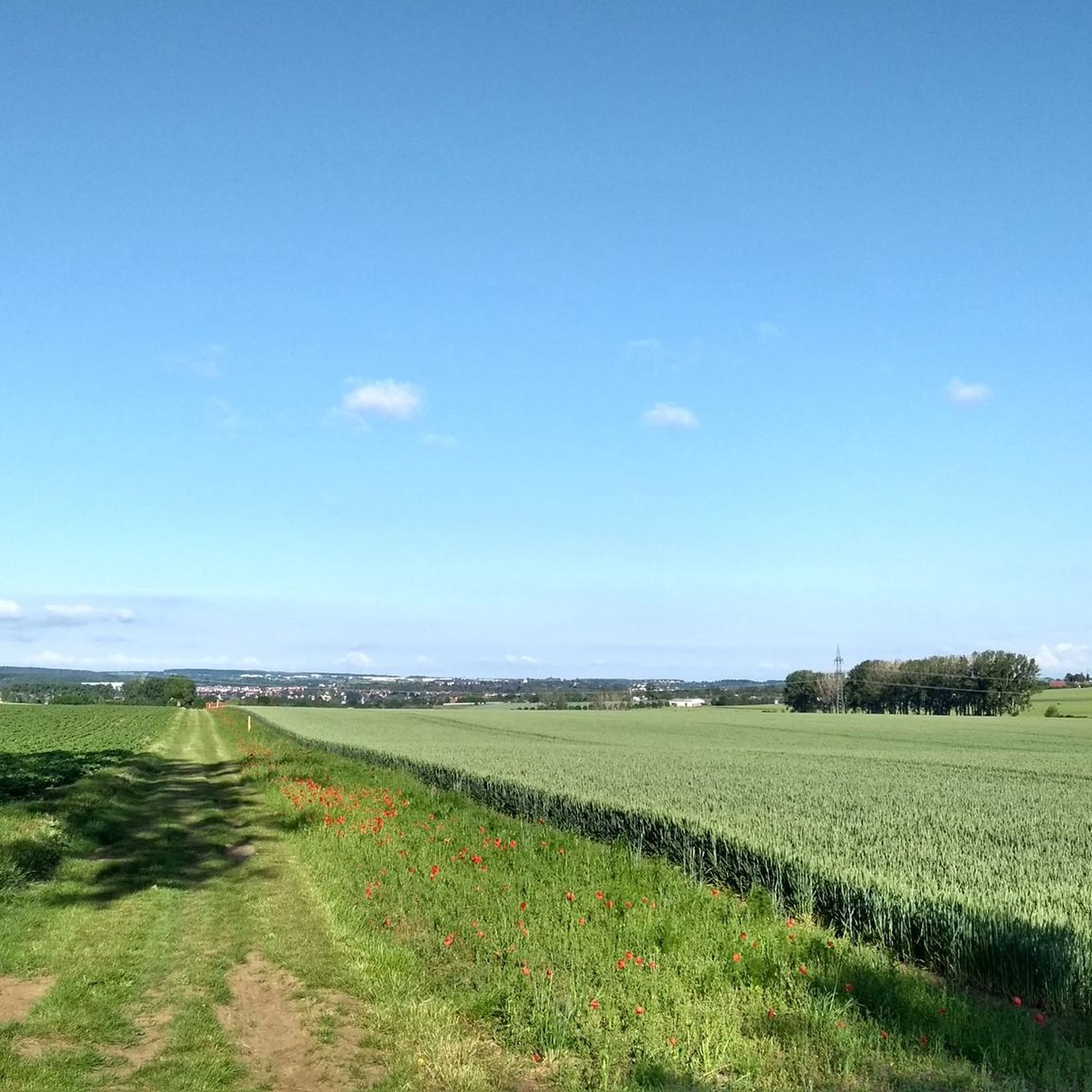
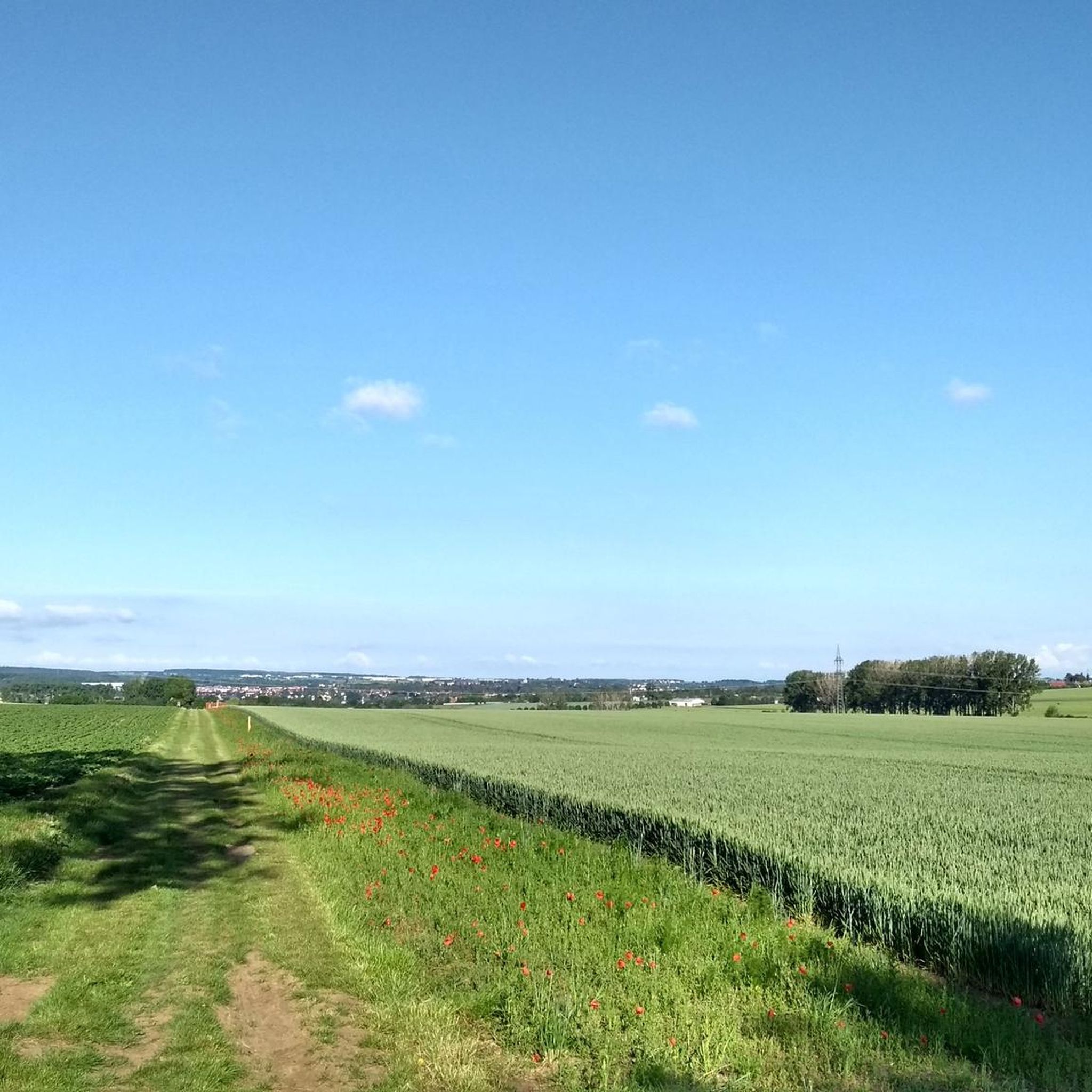
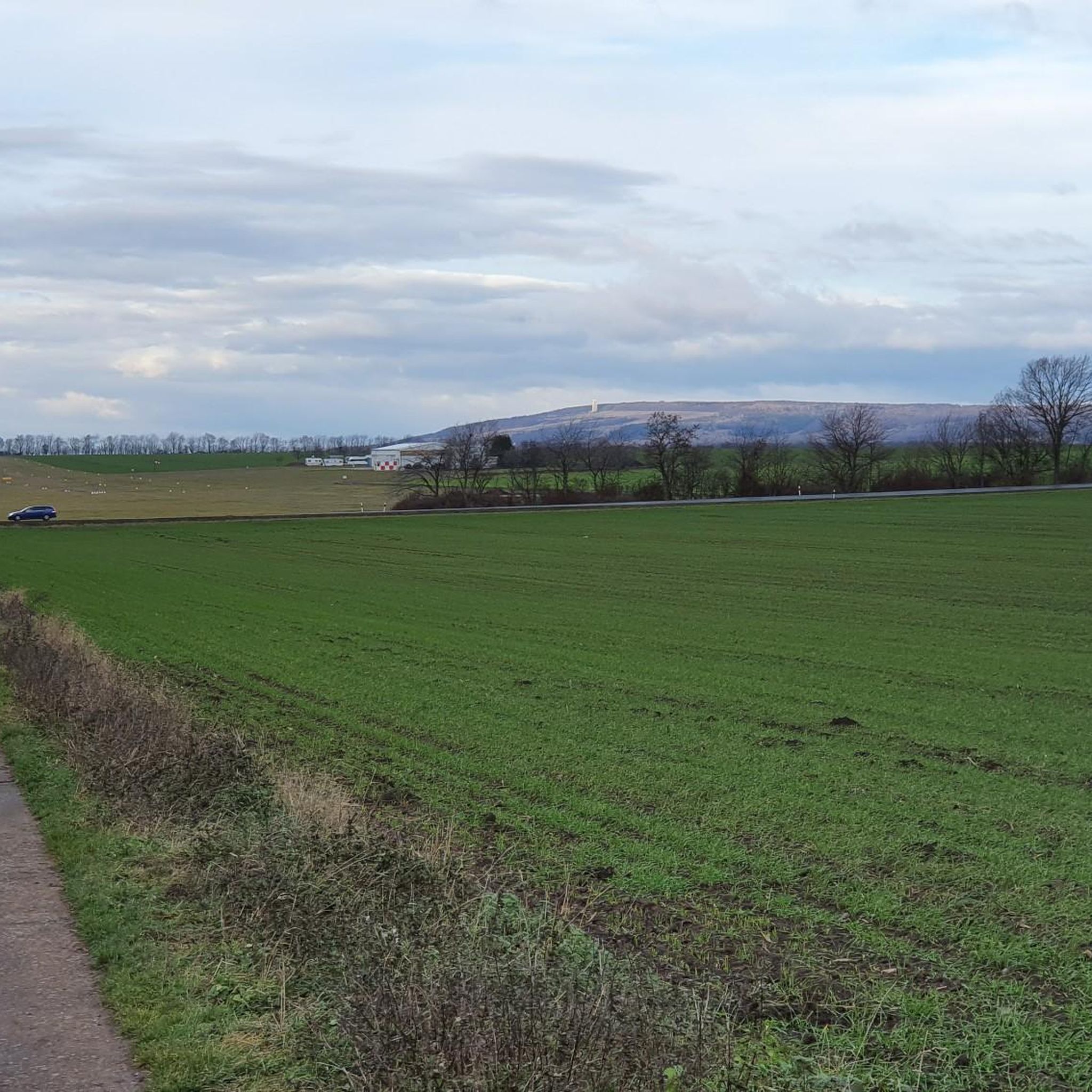
Gravel biking around Umpferstedt features rolling hills, dense forests, and the scenic Ilm River valley, offering diverse terrain for cyclists. The region is characterized by a mix of quiet asphalt roads, gravel paths, and forest trails, providing varied gradients suitable for gravel bikes. Its location on the edge of the Thuringian Forest biosphere reserve provides extensive networks of well-graded gravel roads and forest paths. The Ilmtal Cycle Path further enhances the accessible routes, offering both asphalt and gravel sections.
Best…
Last updated: August 26, 2026
4.7
(14)
68
riders
50.5km
02:52
530m
530m
Hard gravel ride. Very good fitness required. Mostly paved surfaces. Suitable for all skill levels.
5.0
(1)
21
riders
36.4km
02:19
490m
490m
Hard gravel ride. Very good fitness required. Mostly paved surfaces. Suitable for all skill levels.

Sign up for free
4.7
(16)
65
riders
Hard gravel ride. Very good fitness required. Mostly paved surfaces. Suitable for all skill levels.
7
riders
36.8km
02:23
550m
550m
Hard gravel ride. Very good fitness required. Mostly paved surfaces. Suitable for all skill levels.
4.7
(3)
8
riders
30.1km
02:05
450m
450m
Hard gravel ride. Very good fitness required. Mostly paved surfaces. Suitable for all skill levels.
Get access to more routes and recommendations from other explorers.
Sign up for free
Already have an account?
Our route recommendations are based on thousands of hikes, rides, and runs completed by other people on komoot.
Start today with a free account
Your next adventure awaits.
Login or Signup
Tips from the Community

well-maintained cycle path, some tight corners
1
0

Great fire brigade in town.
0
0

Easy-to-ride cycle path, partly gravel, otherwise good asphalt...
0
0

🏞️ Landscape & Location - Buchfart lies directly on the Ilm River, nestled in a narrow valley with steep, wooded limestone slopes. - The surrounding area is ideal for hikes, especially to the Balsamine, a viewpoint at an altitude of 340 meters. - The Ilm River winds its way through the valley here and offers a spectacular display of colors in autumn. --- 🕰️ History - First documented mention: 1348, by the knight Lutolf von Heitingsburg. - The place name is derived from "Furt" and "Buchenwald" – hence "Buchfart." - The area was already settled in the Neolithic period, as archaeological finds confirm. - The Buchfart Castle, a castle complex in the limestone cliff above the town, is shrouded in legend and was explored by the mineralogist Georgius Agricola as early as 1551. --- 🏛️ Sights - Historic Water Mill: The Pfeiffer Mill has been lovingly restored and now houses a meeting center for millers, a farm shop, and even a small village brewery. - Ilm Bridge: An old stone bridge connects the village districts and is a popular photo opportunity. - Village Church: Simple yet charming – a place of peace and history. --- 🧙♂️ Legends & Myths - The Buchfarter Caves are the setting for numerous legends – from ghosts guarding treasures to little men who lead bricklayers into underground passages. - The Schlossberg is also shrouded in legend and offers exciting stories for curious hikers.
0
0

Beautiful rest area built with a lot of creativity.
5
0
A cute little place with a unique restaurant and a sort of flea market. There's even a buffet on Sundays.
2
0

located on the B7
1
0

Jena has beautiful nature all around. Highly recommended
0
0
Frequently Asked Questions
How many gravel bike trails are available around Umpferstedt?
There are over 50 gravel bike trails around Umpferstedt, offering a wide range of options for different skill levels. This includes 6 easy routes, 25 moderate routes, and 24 difficult routes, ensuring there's something for everyone.
What kind of terrain can I expect on gravel bike trails near Umpferstedt?
The terrain around Umpferstedt is quite varied, featuring rolling hills, expansive forests, and a mix of quiet asphalt roads, gravel paths, and forest trails. You'll encounter diverse surfaces including ground, path, and track, providing engaging climbs and descents characteristic of the Thuringian landscape.
When is the best time of year for gravel biking in Umpferstedt?
The region is beautiful throughout the warmer months. Spring and autumn offer pleasant temperatures and vibrant scenery, while summer provides longer daylight hours. The varied terrain means some routes might be more challenging in wet conditions, so checking local weather is always advisable.
Are there options for beginners or less experienced gravel bikers?
Yes, Umpferstedt offers several routes suitable for beginners. There are 6 easy routes available, providing a gentle introduction to gravel biking in the area. These routes typically feature less elevation gain and smoother surfaces.
What makes the gravel biking experience in Umpferstedt unique?
Gravel biking in Umpferstedt is highly rated by the komoot community, with an average score of 4.7 stars from over 130 reviews. Riders often praise the diverse landscapes, the mix of challenging and scenic paths, and the opportunity to explore both natural beauty and historical sites. Over 700 gravel bikers have already explored the varied terrain using komoot.
Are there any historical or natural landmarks to see along the gravel routes?
Absolutely. Many routes pass by interesting landmarks. You might encounter historical buildings like the St. Marien church or castles. For natural features, consider routes that lead to highlights such as the Napoleon Stone on the Windknollen or the Carolinenturm on Kötsch, which offers great viewpoints. The Park Cave and the Nadelöhr in the Park on the Ilm are also notable natural monuments.
Can I find routes that pass by interesting cultural sites?
Yes, the region is rich in cultural heritage. The nearby Ilmtal Cycle Path, which connects to many gravel routes, meanders past castles, palaces, historic mills, and idyllic villages with charming churches. Some sites in nearby Weimar are even recognized as UNESCO World Heritage sites, offering a blend of nature and cultural exploration.
Are there family-friendly gravel biking options?
While specific family-friendly routes are not explicitly detailed, the presence of easy routes and sections of the Ilmtal Cycle Path, which is generally well-maintained, suggests there are suitable options for families. Look for routes with less elevation and shorter distances for a more relaxed family outing.
Can I bring my dog on the gravel bike trails?
Many trails in natural areas of Thuringia are dog-friendly, especially if your dog is accustomed to running alongside a bike. However, it's always best to check local regulations for specific paths, especially within nature reserves, and ensure your dog is on a leash where required.
Where can I find parking for gravel biking in Umpferstedt?
While specific parking spots in Umpferstedt aren't listed, towns and villages in the wider Weimarer Land region, such as Weimar or Mellingen, typically offer public parking facilities. Look for designated parking areas near trailheads or town centers, especially if starting a route from a specific location.
Is public transport an option for reaching the trails with my bike?
Public transport in Thuringia, including regional trains and some buses, often allows for bike transport, though restrictions and fees may apply, especially during peak hours. It's advisable to check the specific public transport provider's rules regarding bicycle carriage before planning your trip.
Are there any challenging gravel bike routes for experienced riders?
Yes, for experienced riders seeking a challenge, Umpferstedt offers 24 difficult routes. An example is the Leutra Valley – Forest Descent Towards Jena loop from Mellingen (Thür), a difficult 31.4 miles (50.5 km) path with significant elevation gain, traversing the Leutra Valley and descending towards Jena.
Are there any routes that include stops at cafes or pubs?
Many routes in the Umpferstedt region pass through or near charming villages and towns like Weimar or Mellingen, where you can find cafes, pubs, and restaurants. For example, the Buchfart Watermill – Buchfart Rock Caves loop from Weimar starts near Weimar, offering opportunities for refreshments before or after your ride.
What are some scenic routes for gravel biking in the area?
The region is known for its scenic beauty. The Ilm Floodplain – Ilm River loop from Oberweimar offers picturesque views along the Ilm River. Another beautiful option is the Duchess Anna Amalia Library – Ilm Park loop from Weimar, which takes you through historic and green spaces.
Most popular routes around Umpferstedt
Most popular attractions around Umpferstedt

Get inspired with the komoot mobile app


Explore more
Browse the best Gravel rides in other regions.
