The best gravel rides around Tonndorf
4.5
(24)
80
riders
34
rides
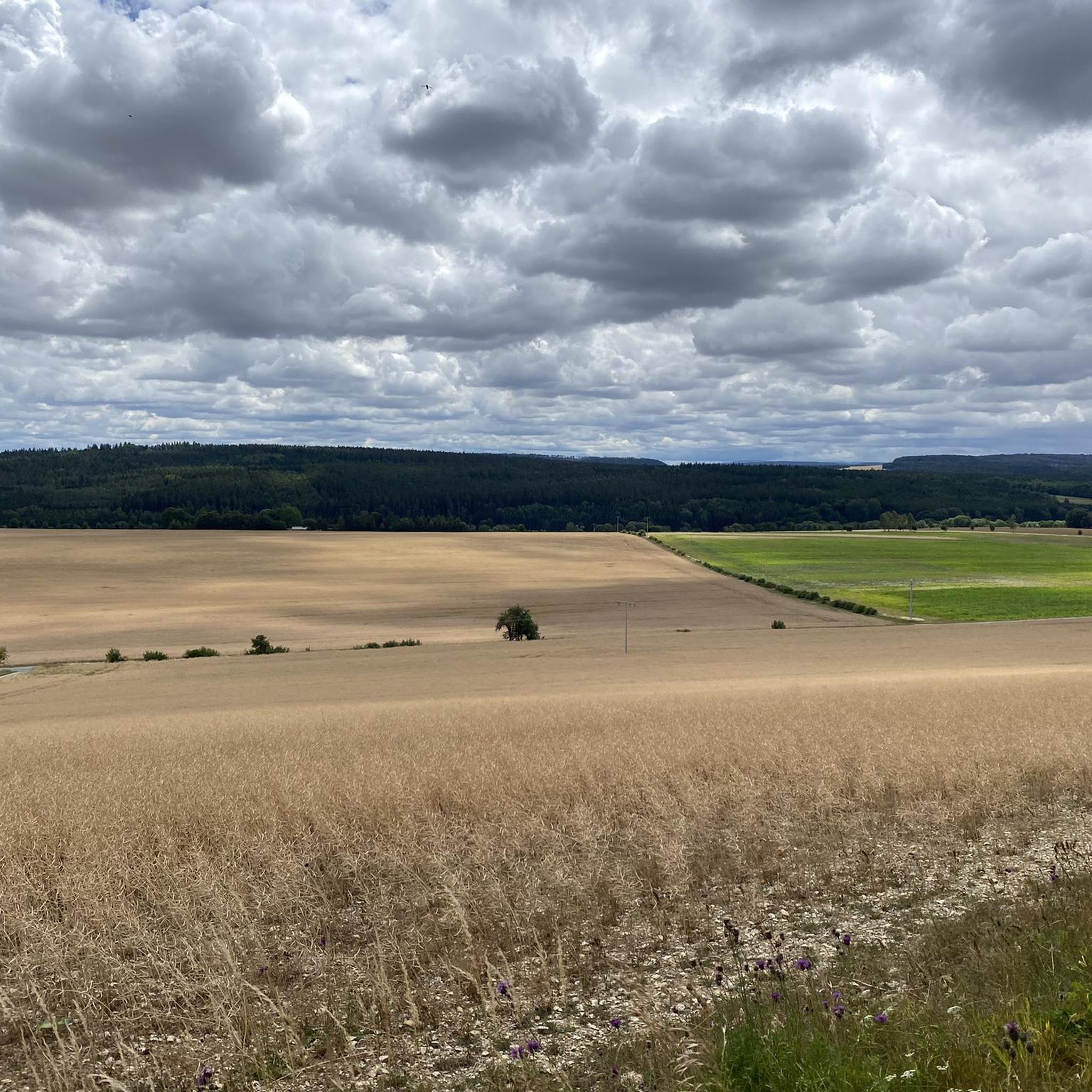
Gravel biking around Tonndorf offers varied terrain, encompassing scenic countryside, riparian landscapes along the Ilm river, and forested areas. The region is characterized by a blend of cultural landscapes and natural features, providing a mix of well-maintained paths and unpaved segments. Elevations are generally moderate, with some routes featuring more significant climbs through wooded hills and valleys. This environment provides diverse scenery and points of interest for outdoor enthusiasts.
Best gravel bike trails around Tonndorf
- The most popular gravel bike…
Last updated: September 23, 2026
4.1
(10)
23
riders
38.3km
02:11
430m
430m
Hard gravel ride. Good fitness required. You may need to push your bike for some segments of this route.
5.0
(1)
4
riders
47.4km
02:54
570m
560m
Hard gravel ride. Very good fitness required. Mostly paved surfaces. Suitable for all skill levels.

5.0
(4)
15
riders
53.5km
03:08
660m
660m
Hard gravel ride. Very good fitness required. You may need to push your bike for some segments of this route.
4.3
(4)
13
riders
Hard gravel ride. Good fitness required. You may need to push your bike for some segments of this route.
4.3
(3)
11
riders
Hard gravel ride. Very good fitness required. Mostly paved surfaces. Suitable for all skill levels.
Get access to more routes and recommendations from other explorers.
Already have an account?
Our route recommendations are based on thousands of hikes, rides, and runs completed by other people on komoot.
Start today with a free account
Your next adventure awaits.

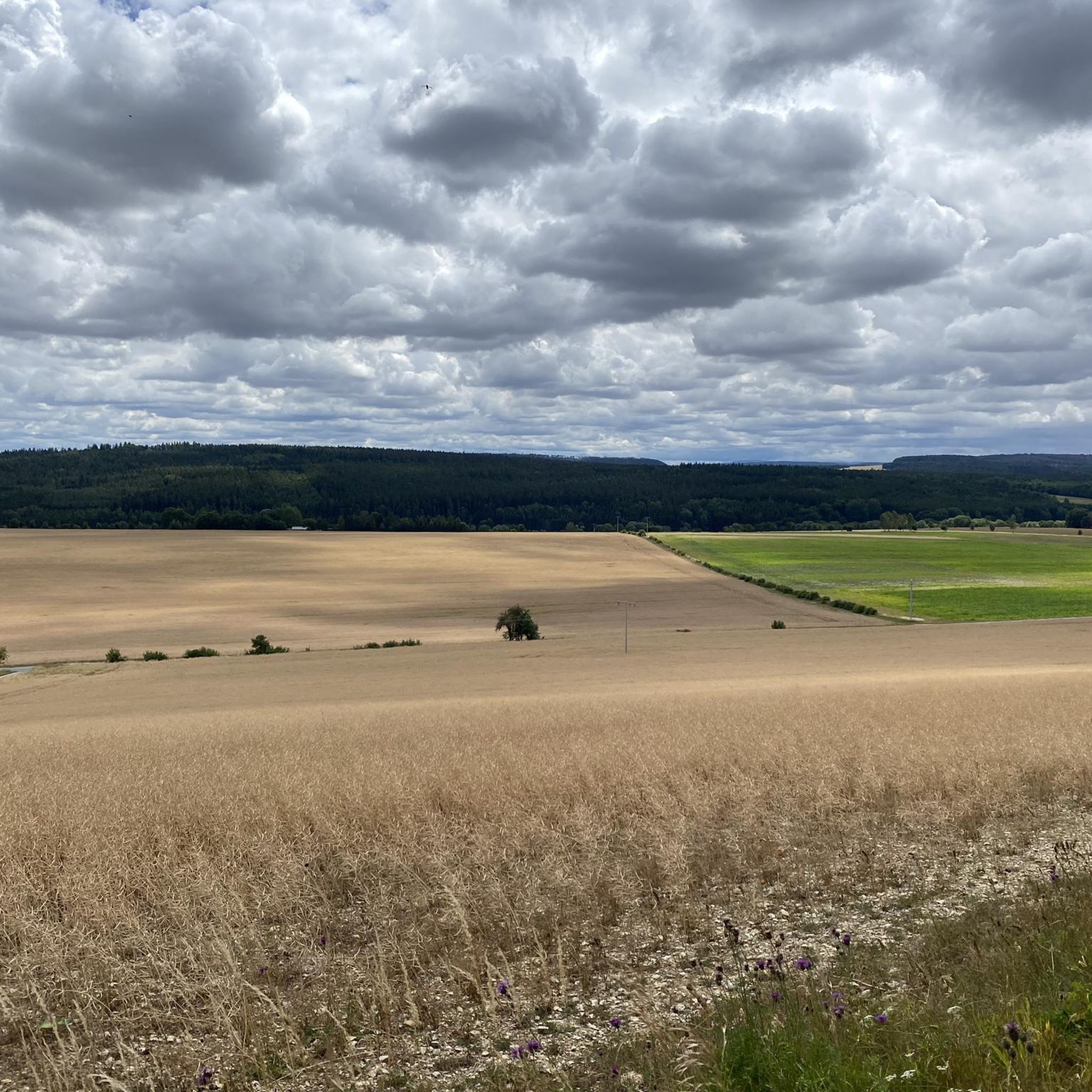
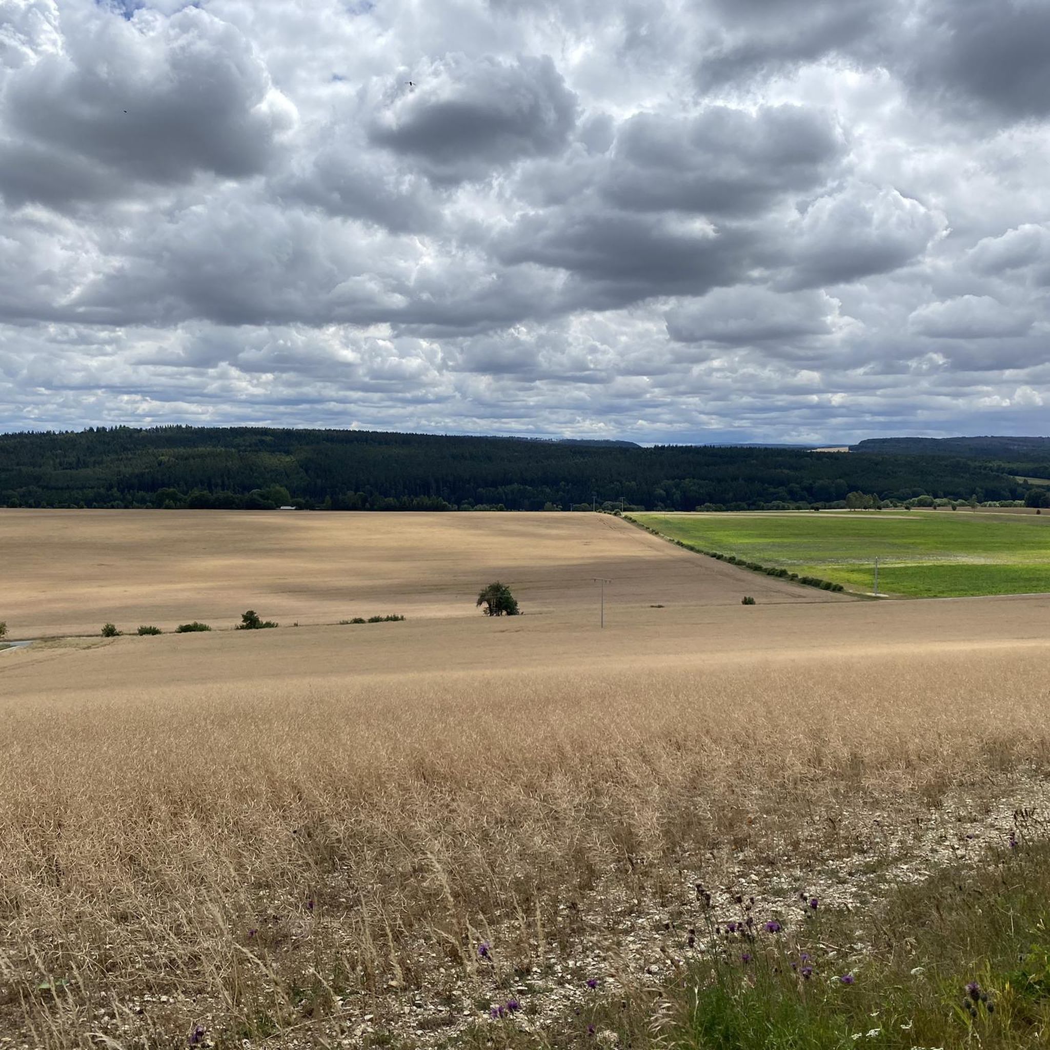
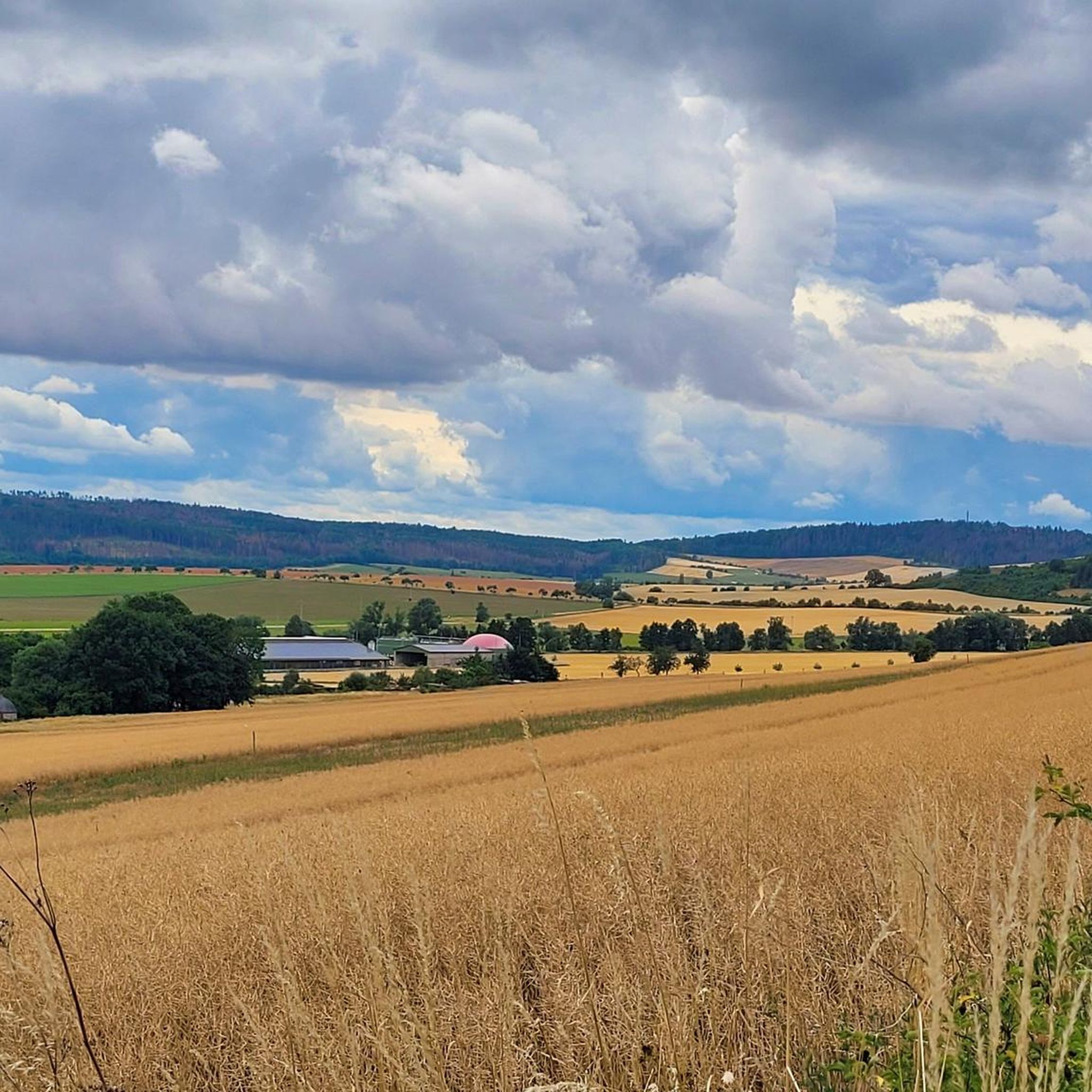
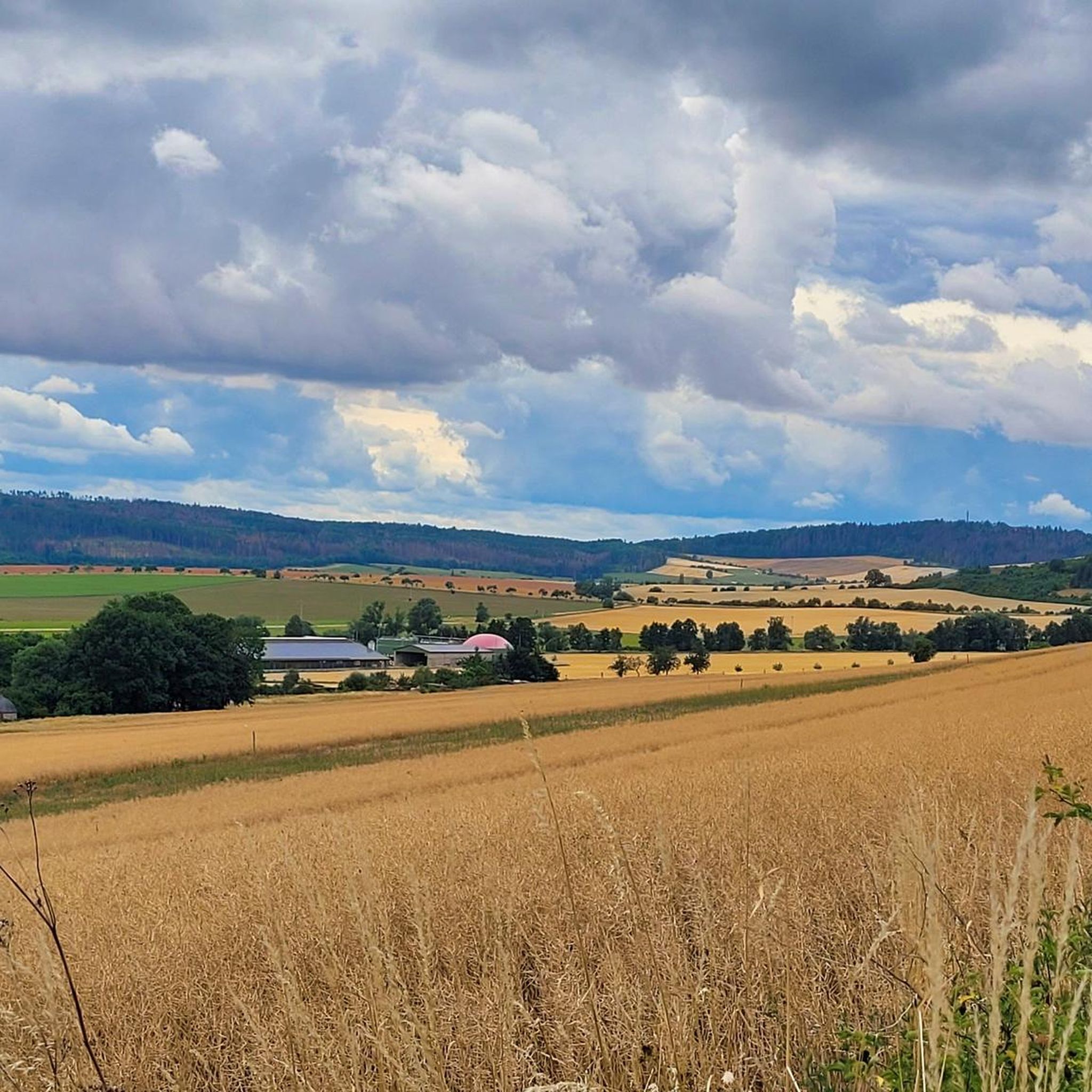
Other adventures around Tonndorf

Tips from the Community

That was the only really beautiful stretch of bike path on this bike tour.
1
0

Large forest intersection near Achelstedt.
0
0


Many apple and plum trees flank the cycle path here, but the cobblestone passage in Hopfgarten is not without
0
0

Easy-to-ride cycle path, partly gravel, otherwise good asphalt...
0
0

Great wooden bridge 🤩. But be careful, it's still busy in places.
16
0
The Buchfarter Felsenburg, located on the Muschelkalk steep slope of the Ilm, is the only structure of its kind in the Central German region and of particular cultural-historical significance. It is a castle complex of the Counts of Orlamünde. Around the 12th century, 12 chambers of various sizes were carved into the steep rock face in a row over a length of about 110 meters and at a height of 40 meters above the Ilm. The chambers were connected by a slope wall in the Romanesque architectural style. Some wall remnants and a round-arched door are still visible today. The Felsenburg had no military significance in the late Middle Ages. However, it served a long line of counts, dukes, and electors as a fully developed, impregnable refuge castle.
19
0

Yes, it's reborn. Right now, the wings are still missing.
2
3
Frequently Asked Questions
How many gravel bike trails are available around Tonndorf?
There are over 50 gravel bike trails around Tonndorf, offering a diverse range of experiences. This includes 2 easy routes, 24 moderate routes, and 25 difficult routes, ensuring options for all skill levels.
What kind of terrain can I expect on gravel bike trails near Tonndorf?
The terrain around Tonndorf is varied, encompassing scenic countryside, picturesque riparian landscapes along the Ilm river, and forested areas. You'll find a mix of well-maintained paths, some with moderate elevations, and others featuring more significant climbs, providing a dynamic gravel biking experience.
Are there any family-friendly gravel bike routes in the Tonndorf area?
Yes, Tonndorf offers family-friendly options. While many routes are moderate to difficult, there are also easier trails suitable for families looking for a less strenuous ride. These routes often follow river valleys or through gentler forested areas, providing a pleasant outing for all ages.
What historical landmarks or natural features can I see along the gravel bike trails?
Many gravel bike trails in the region pass by notable attractions. You can explore the historic Covered Wooden Bridge in Buchfart, visit the restored Buchfart Watermill, or climb the Paulinenturm for expansive views. The Carolinenturm on Kötsch also offers panoramic vistas after a climb.
Are there any circular gravel bike routes with scenic views?
Absolutely. Many routes are designed as loops, offering varied landscapes and scenic viewpoints. For example, the View of Klettbach – Ponds and Rest Hut Tannroda loop from Hayn takes you through diverse scenery with ponds and forests. The region's towers, like the Paulinenturm and Carolinenturm, are often incorporated into routes for their stunning outlooks.
What is the best time of year for gravel biking around Tonndorf?
The region is generally enjoyable for gravel biking from spring through autumn. Spring brings blooming landscapes, while autumn offers beautiful foliage. Summer is also popular, but it's advisable to start early to avoid the midday heat. Winter riding is possible, but conditions can be challenging with colder temperatures and potentially icy or muddy paths.
Are there options for advanced gravel bikers seeking a challenge?
Yes, advanced riders will find plenty of challenging routes. Nearly half of the trails (25 out of 51) are rated as difficult, featuring significant climbs and longer distances. The Ilmtal Cycle Path – Hohenfelden Reservoir loop from Riechheim is a difficult route that combines riverside cycling with climbs towards the reservoir, offering diverse scenery and a good workout.
What do other gravel bikers enjoy most about gravel biking in Tonndorf?
The area is highly rated by the komoot community, with an average score of 4.6 stars from over 70 reviews. Reviewers often praise the varied terrain, the beautiful river valleys, and the historical landmarks encountered along the routes. The mix of natural beauty and cultural points of interest makes for a rewarding experience.
Can I find cafes or pubs along the gravel bike routes in Tonndorf?
While specific cafes and pubs directly on every route can vary, the region around Tonndorf, including nearby towns and villages, offers opportunities for refreshments. The Buchfart Watermill, for instance, has a mill shop and bakery. Planning your route with komoot allows you to identify points of interest, including potential stops for food and drink.
Are there any dog-friendly gravel bike trails in the Tonndorf area?
Many natural trails and paths in the Tonndorf region are suitable for cycling with dogs, provided they are well-behaved and kept on a leash where necessary. It's always a good idea to check local regulations and ensure your dog is comfortable with the distance and terrain of your chosen route.
What are some longer gravel bike routes available near Tonndorf?
For those looking for longer rides, Tonndorf offers several options. The Saale River at Maua – Paradise Park, Jena loop from Bad Berka is a challenging 79.3 km route, while the View of Klettbach – Ponds and Rest Hut Tannroda loop from Hayn covers 47.4 km, providing ample distance for extended gravel biking adventures.
Is public transport available to access gravel trails around Tonndorf?
Public transport options exist in the broader Thuringia region, connecting various towns and villages. While direct access to every trailhead via public transport might require some planning, it is often possible to reach starting points with a combination of regional buses or trains, some of which may accommodate bikes. It's recommended to check local transport schedules and bike carriage policies in advance.
Most popular routes around Tonndorf
Most popular attractions around Tonndorf

Get inspired with the komoot mobile app


Explore more
Browse the best Gravel rides in other regions.
