The best gravel rides around Großobringen
4.7
(38)
206
riders
25
rides
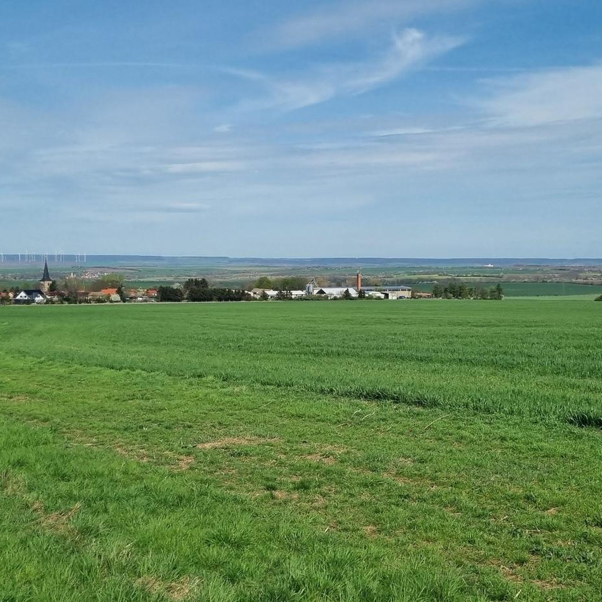
Gravel biking around Großobringen offers varied terrain, situated on the northeast slope of the Großer Ettersberg and at the southern edge of the Thuringian Basin. The region features a mix of rolling hills and flatter areas, providing diverse cycling experiences. Gravel bikers can expect a network of unpaved roads and forest paths characteristic of the Thuringian countryside, with varying elevations from the Ilm river valley up to the Ettersberg. This landscape provides suitable conditions for exploring on gravel bikes, blending…
Last updated: July 2, 2026
5.0
(1)
21
riders
36.4km
02:19
490m
490m
Hard gravel ride. Very good fitness required. Mostly paved surfaces. Suitable for all skill levels.
4.7
(16)
65
riders
Hard gravel ride. Very good fitness required. Mostly paved surfaces. Suitable for all skill levels.

Sign up for free
5.0
(5)
44
riders
60.6km
03:38
620m
620m
Hard gravel ride. Very good fitness required. Mostly paved surfaces. Suitable for all skill levels.
5.0
(1)
4
riders
32.7km
02:17
540m
540m
Hard gravel ride. Very good fitness required. Mostly paved surfaces. Suitable for all skill levels.
4
riders
Hard gravel ride. Very good fitness required. Mostly paved surfaces. Suitable for all skill levels.
Get access to more routes and recommendations from other explorers.
Sign up for free
Already have an account?
Our route recommendations are based on thousands of hikes, rides, and runs completed by other people on komoot.
Start today with a free account
Your next adventure awaits.
Login or Signup
Tips from the Community

well-maintained cycle path, some tight corners
0
0


Great fire brigade in town.
0
0
Erfurt's old town is a real eye-catcher, consisting of many highlights.
0
0

Many apple and plum trees flank the cycle path here, but the cobblestone passage in Hopfgarten is not without
0
0
well-signposted and easy-to-ride route between the two cities, although there are a few meters of elevation to overcome
0
0

Easy-to-ride cycle path, partly gravel, otherwise good asphalt...
0
0

🏞️ Landscape & Location - Buchfart lies directly on the Ilm River, nestled in a narrow valley with steep, wooded limestone slopes. - The surrounding area is ideal for hikes, especially to the Balsamine, a viewpoint at an altitude of 340 meters. - The Ilm River winds its way through the valley here and offers a spectacular display of colors in autumn. --- 🕰️ History - First documented mention: 1348, by the knight Lutolf von Heitingsburg. - The place name is derived from "Furt" and "Buchenwald" – hence "Buchfart." - The area was already settled in the Neolithic period, as archaeological finds confirm. - The Buchfart Castle, a castle complex in the limestone cliff above the town, is shrouded in legend and was explored by the mineralogist Georgius Agricola as early as 1551. --- 🏛️ Sights - Historic Water Mill: The Pfeiffer Mill has been lovingly restored and now houses a meeting center for millers, a farm shop, and even a small village brewery. - Ilm Bridge: An old stone bridge connects the village districts and is a popular photo opportunity. - Village Church: Simple yet charming – a place of peace and history. --- 🧙♂️ Legends & Myths - The Buchfarter Caves are the setting for numerous legends – from ghosts guarding treasures to little men who lead bricklayers into underground passages. - The Schlossberg is also shrouded in legend and offers exciting stories for curious hikers.
0
0
Frequently Asked Questions
How many gravel bike trails are there around Großobringen?
There are over 45 gravel bike routes available around Großobringen, offering a diverse range of experiences. These include 6 easy, 21 moderate, and 21 difficult trails, ensuring options for various skill levels.
What is the general difficulty level of gravel biking routes in this region?
Gravel biking around Großobringen offers a mix of difficulties, from moderate to difficult. The terrain includes hills, unpaved roads, and forest paths, providing varied challenges. For example, the Buchfart Watermill – Buchfart Rock Caves loop from Weimar is a moderate route, while the View of the Sternbrücke in Weimar – Park on the Ilm (Weimar) loop from Weimar is considered difficult.
Are there any family-friendly gravel biking options near Großobringen?
While specific 'easy' routes are available, the region's gravel trails generally feature varied terrain including hills and unpaved paths. For a more relaxed experience, look for routes with lower elevation gain and shorter distances. The Duchess Anna Amalia Library – Ilm Park loop from Weimar, for instance, is a moderate 25.6 km path that offers scenic views through the Ilm Park, which might be suitable for families with some biking experience.
What kind of natural landscapes can I expect to see while gravel biking around Großobringen?
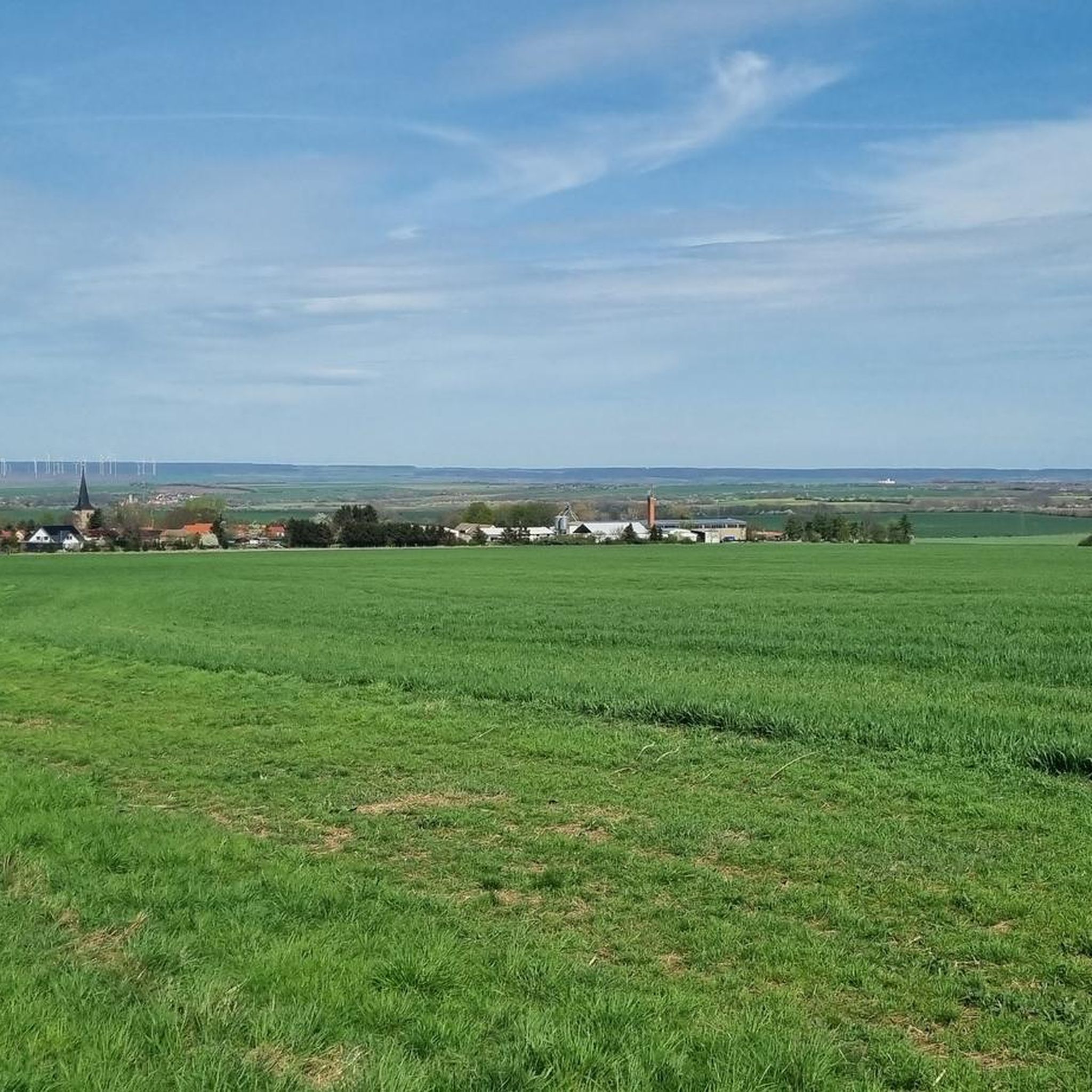
The region around Großobringen is characterized by a blend of natural environments. You'll find extensive forests and varied topography, especially on the northeast slope of the Großer Ettersberg. The Thuringian Basin offers flatter, more open routes. This mix provides scenic rides through woodlands and open countryside, typical of the Thuringian landscape.
Are there any circular gravel bike trails available?
Yes, many of the gravel biking routes around Großobringen are designed as loops. For example, the popular Ilm Park – Park on the Ilm (Weimar) loop from Weimar is a moderate 31.7 km circular route, perfect for exploring the area without retracing your steps.
What do other gravel bikers say about the trails in Großobringen?
The gravel biking routes around Großobringen are highly rated by the komoot community, with an average score of 4.6 stars from over 120 reviews. More than 700 gravel bikers have explored the varied terrain, often praising the network of unpaved roads and forest paths that offer diverse cycling experiences.
Can I combine gravel biking with cultural sightseeing in the area?
Absolutely. Großobringen is situated near the historically significant city of Weimar, which offers numerous cultural landmarks. Routes like the Duchess Anna Amalia Library – Ilm Park loop from Weimar pass by cultural sites, allowing you to combine physical activity with historical exploration. You can also visit attractions like the Belvedere Palace Weimar or Ettersburg Castle, which are nearby.
Are there any castles or historical sites along the gravel routes?
Yes, the region is rich in historical sites. You can find several castles and historical landmarks near the gravel routes. Notable examples include Belvedere Palace Weimar, Schloss Tiefurt, and Ettersburg Castle. Some routes, like the Buchfart Watermill – Buchfart Rock Caves loop from Weimar, even pass by historic structures like the Buchfart Watermill.
Are there any lakes or reservoirs accessible by gravel bike?
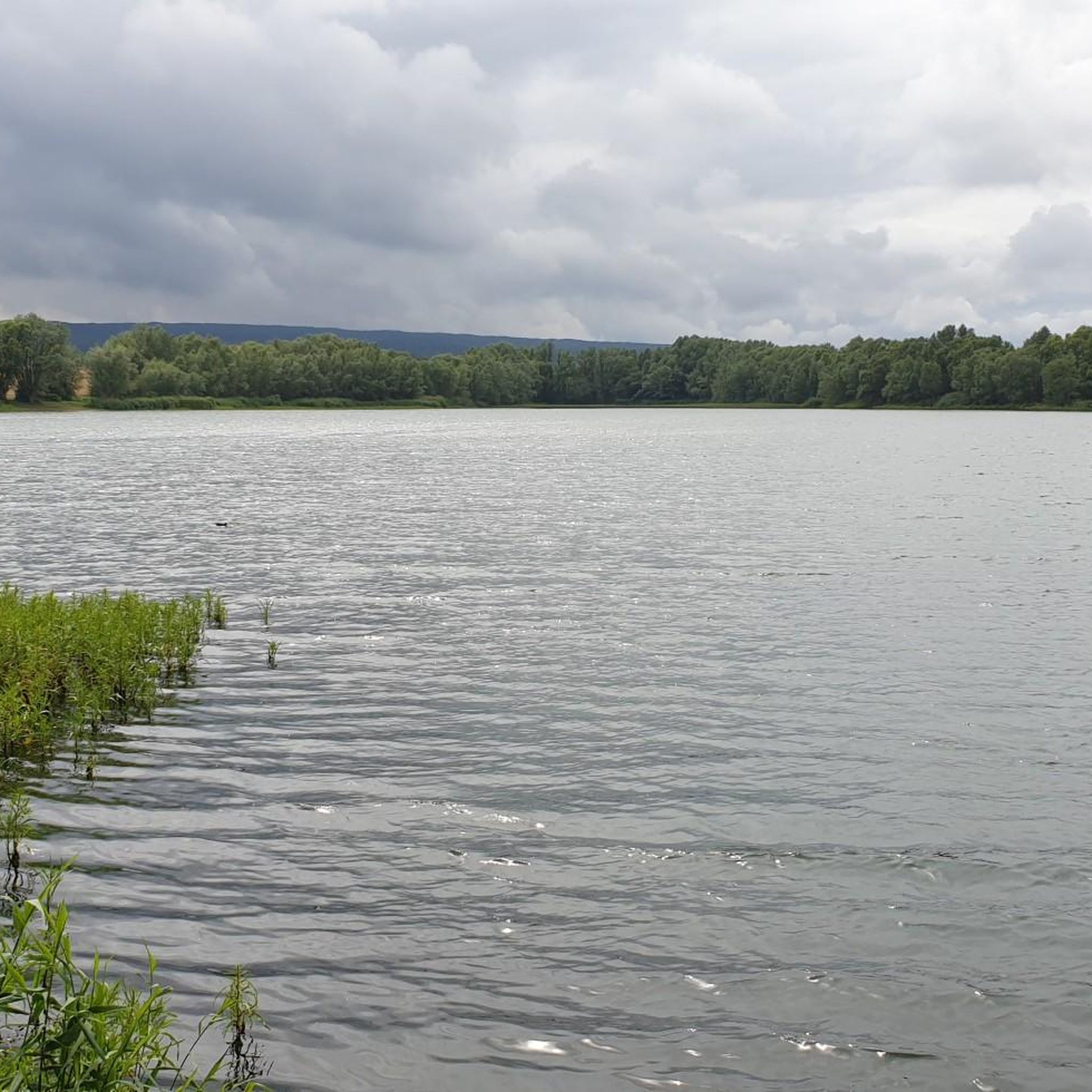
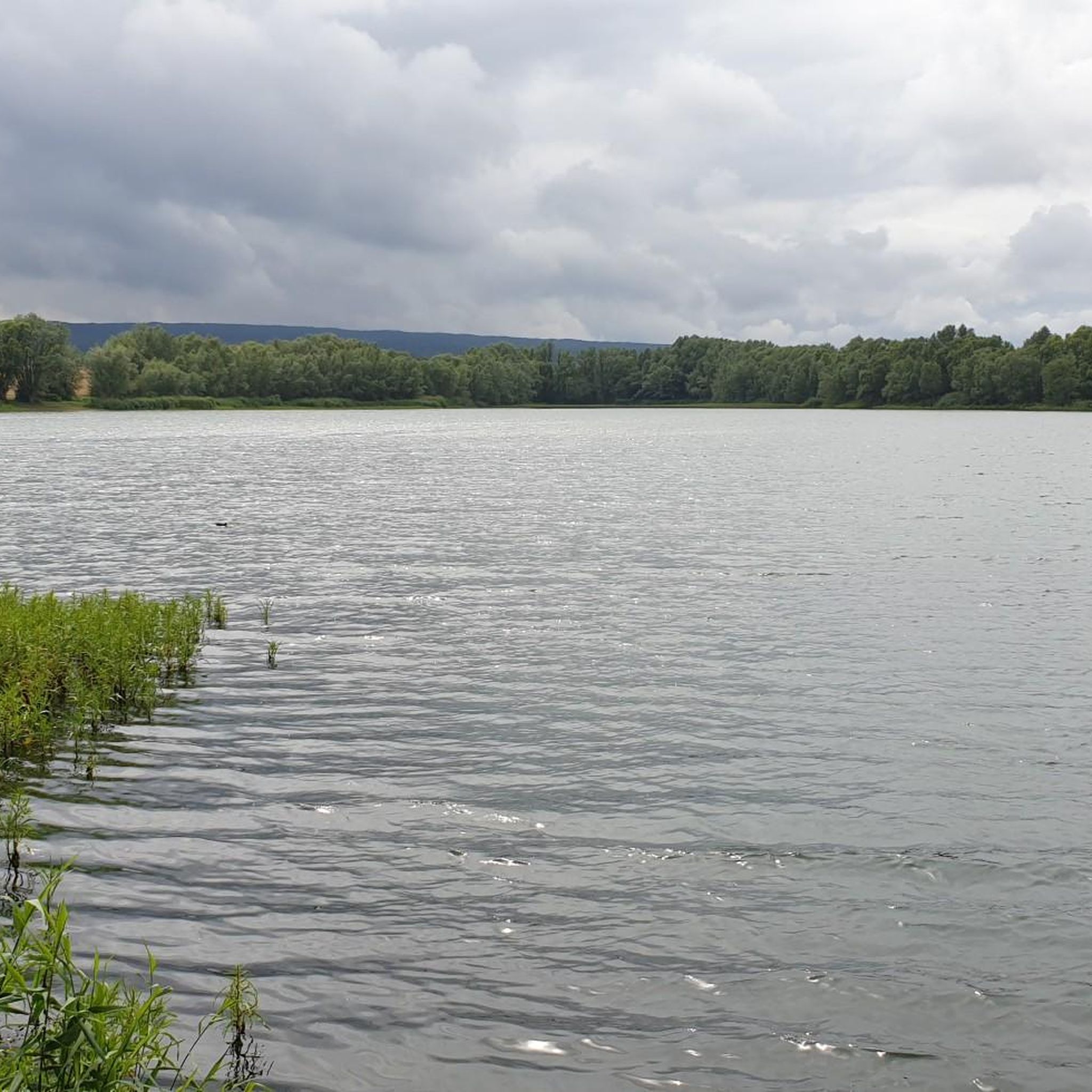
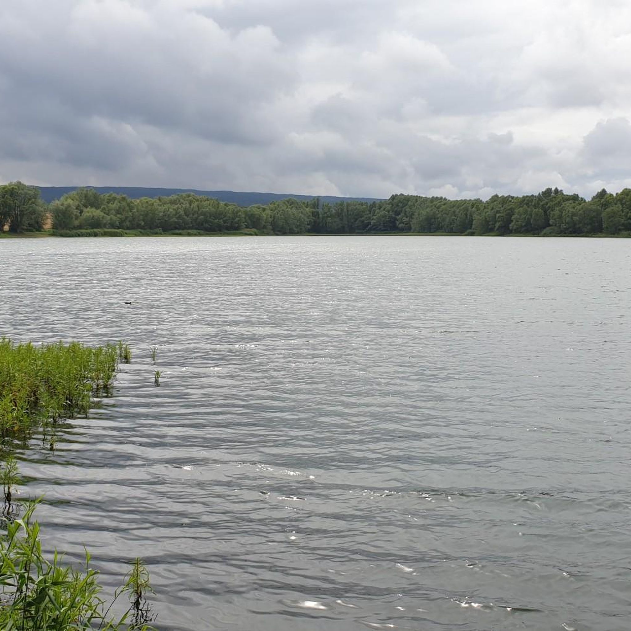
Yes, several lakes and reservoirs are located in the vicinity of Großobringen, offering pleasant destinations or scenic points along your ride. You might encounter places like Hopfgarten Reservoir, Weimarhallenpark Pond, or Kromsdorf Reservoir. These can provide beautiful spots for a break.
What is the longest gravel bike route available near Großobringen?
One of the longer and more challenging routes is the Erfurt Old Town – Erfurt Cathedral loop from Ettersburg. This difficult trail covers approximately 62.3 km (38.7 miles) and features significant elevation gain, making it suitable for experienced gravel bikers looking for a longer adventure.
Is public transport available to reach the starting points of gravel bike routes?
Großobringen is located in the Weimarer Land district, and the broader region, including nearby Weimar and Erfurt, is generally well-connected. While specific public transport options directly to every trail start might vary, you can often reach major towns by train or bus, and then cycle to the trailheads. It's advisable to check local public transport schedules for connections to specific starting points.
Are there good parking options for gravel bikers in Großobringen or nearby?
Given the popularity of outdoor activities in the region, parking is generally available in and around towns like Weimar and at designated trailheads. For specific routes, it's recommended to check the route details on komoot, as many tours starting from towns will indicate suitable parking areas nearby.
Most popular routes around Großobringen
Most popular attractions around Großobringen

Get inspired with the komoot mobile app


Explore more
Browse the best Gravel rides in other regions.
