The best gravel rides around Wangenheim
4.5
(15)
70
riders
9
rides
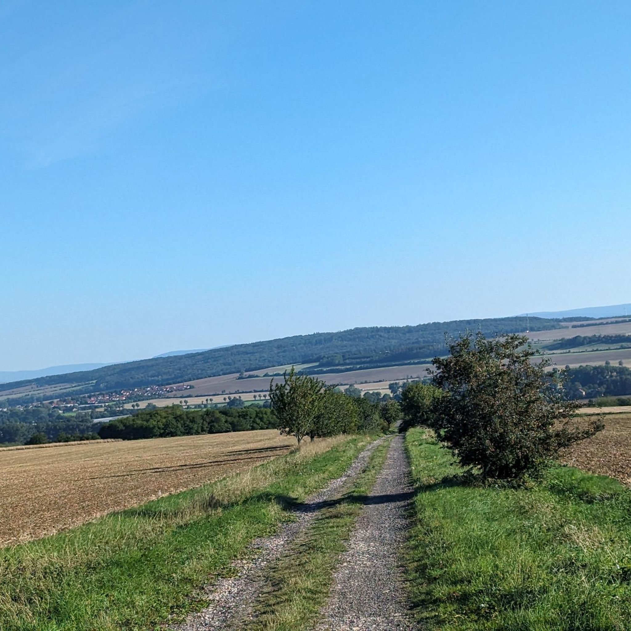
Gravel biking around Wangenheim offers a network of routes traversing varied terrain. The region features established cycle paths, forest trails, and rolling hills, providing diverse conditions for gravel riders. These routes often connect natural areas with local points of interest. The landscape is characterized by a mix of open fields and wooded sections, with moderate elevation changes.
Best gravel bike trails around Wangenheim
- The most popular gravel bike trail is Fahner Höhe Forest Trails – Lohmühle Watermill loop from Bad…
Last updated: October 19, 2026
4.5
(6)
20
riders
52.8km
02:50
390m
390m
Moderate gravel ride. Good fitness required. Mostly paved surfaces. Suitable for all skill levels.
5.0
(6)
27
riders
48.8km
02:49
270m
270m
Hard gravel ride. Good fitness required. You may need to push your bike for some segments of this route.

6
riders
Moderate gravel ride. Good fitness required. Mostly paved surfaces. Suitable for all skill levels.
5.0
(1)
3
riders
Moderate gravel ride. Good fitness required. Mostly paved surfaces. Suitable for all skill levels.
3.0
(1)
5
riders
34.9km
01:50
270m
270m
Moderate gravel ride. Good fitness required. Mostly paved surfaces. Suitable for all skill levels.
Get access to more routes and recommendations from other explorers.
Already have an account?
Our route recommendations are based on thousands of hikes, rides, and runs completed by other people on komoot.
Start today with a free account
Your next adventure awaits.
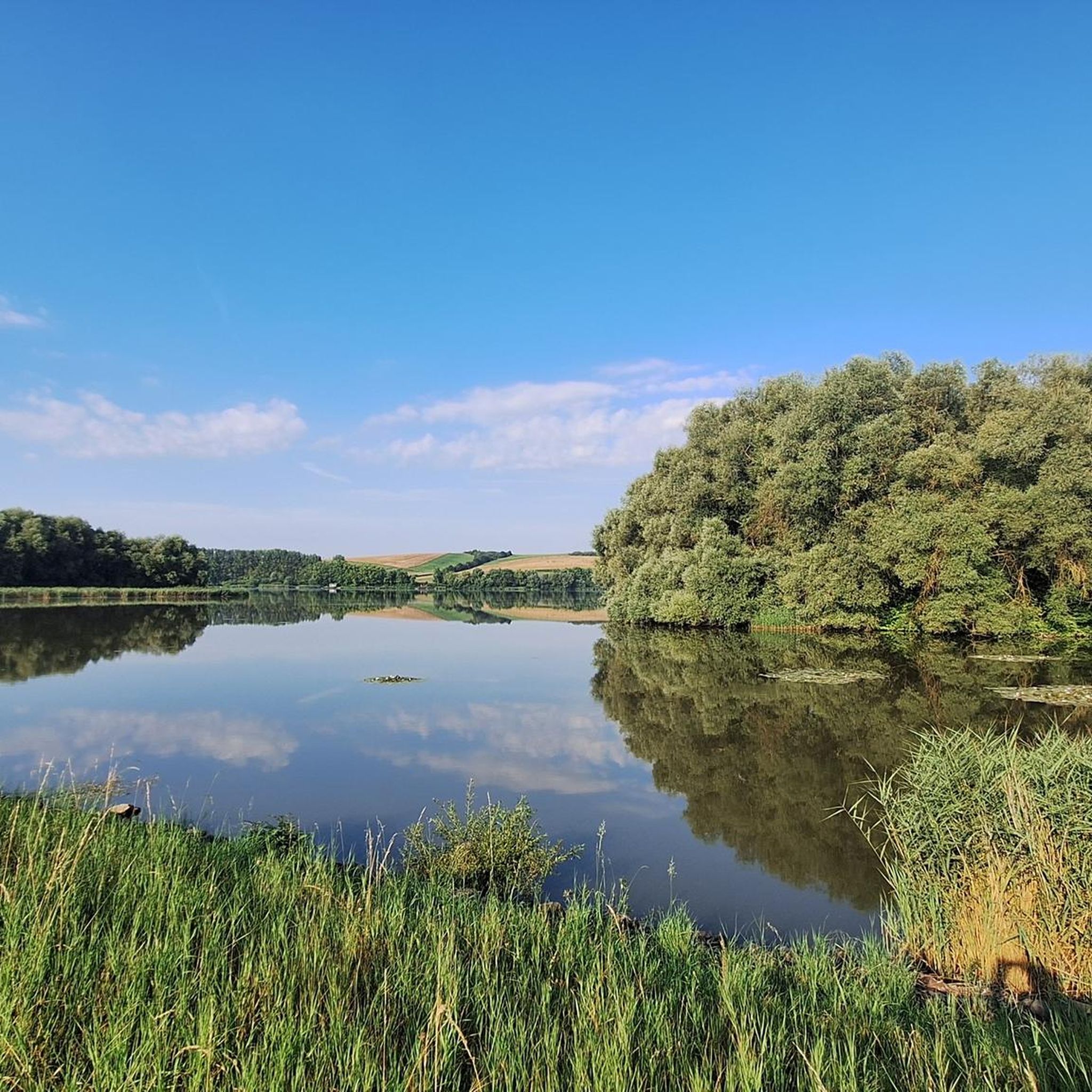
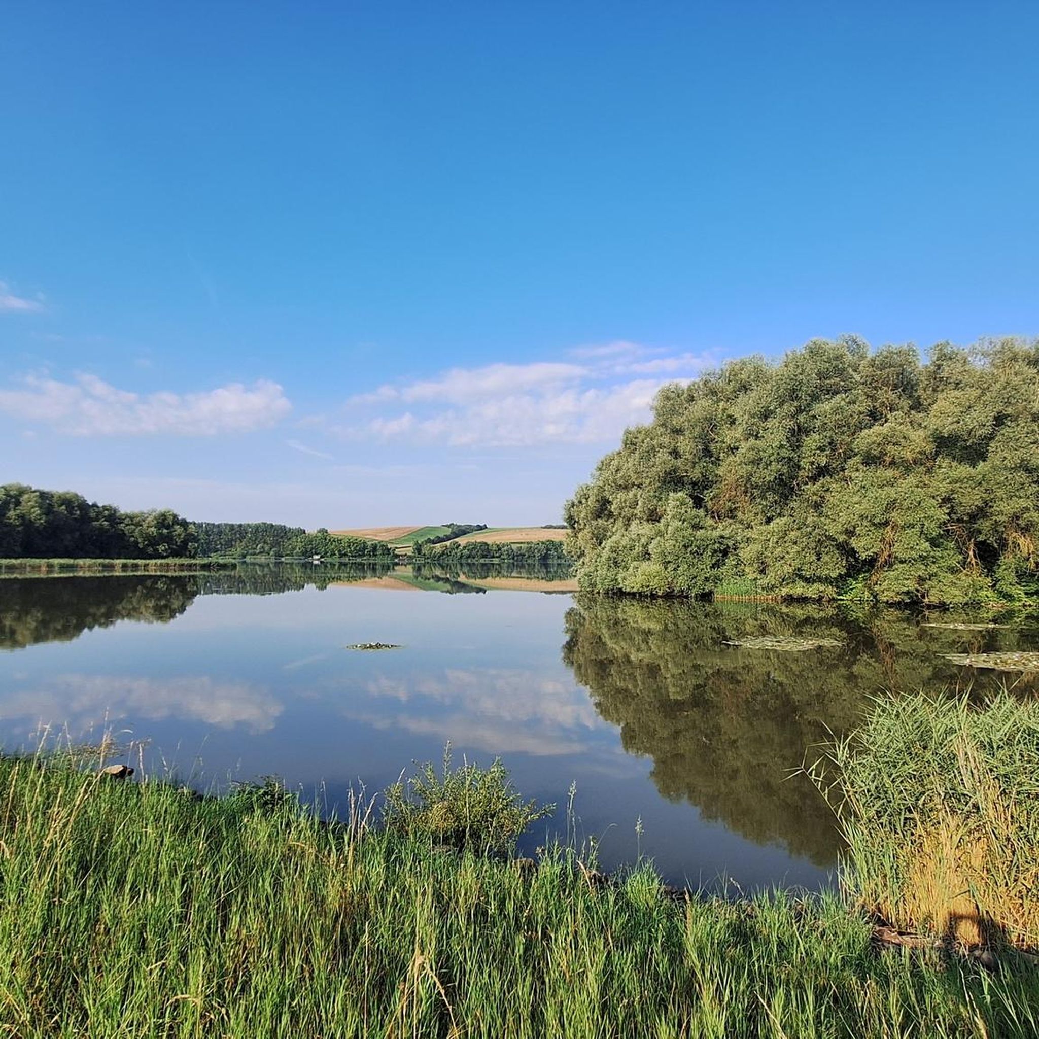
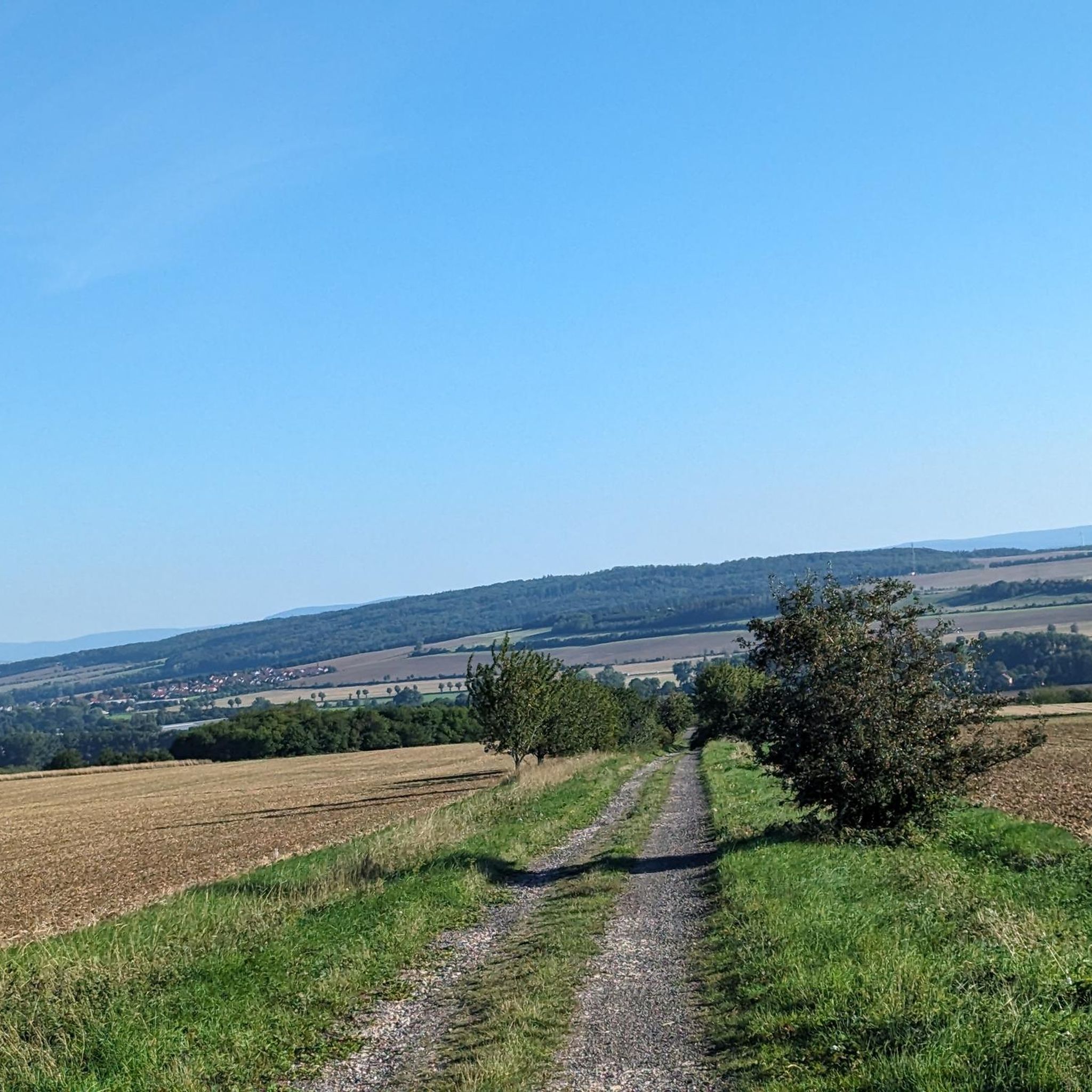
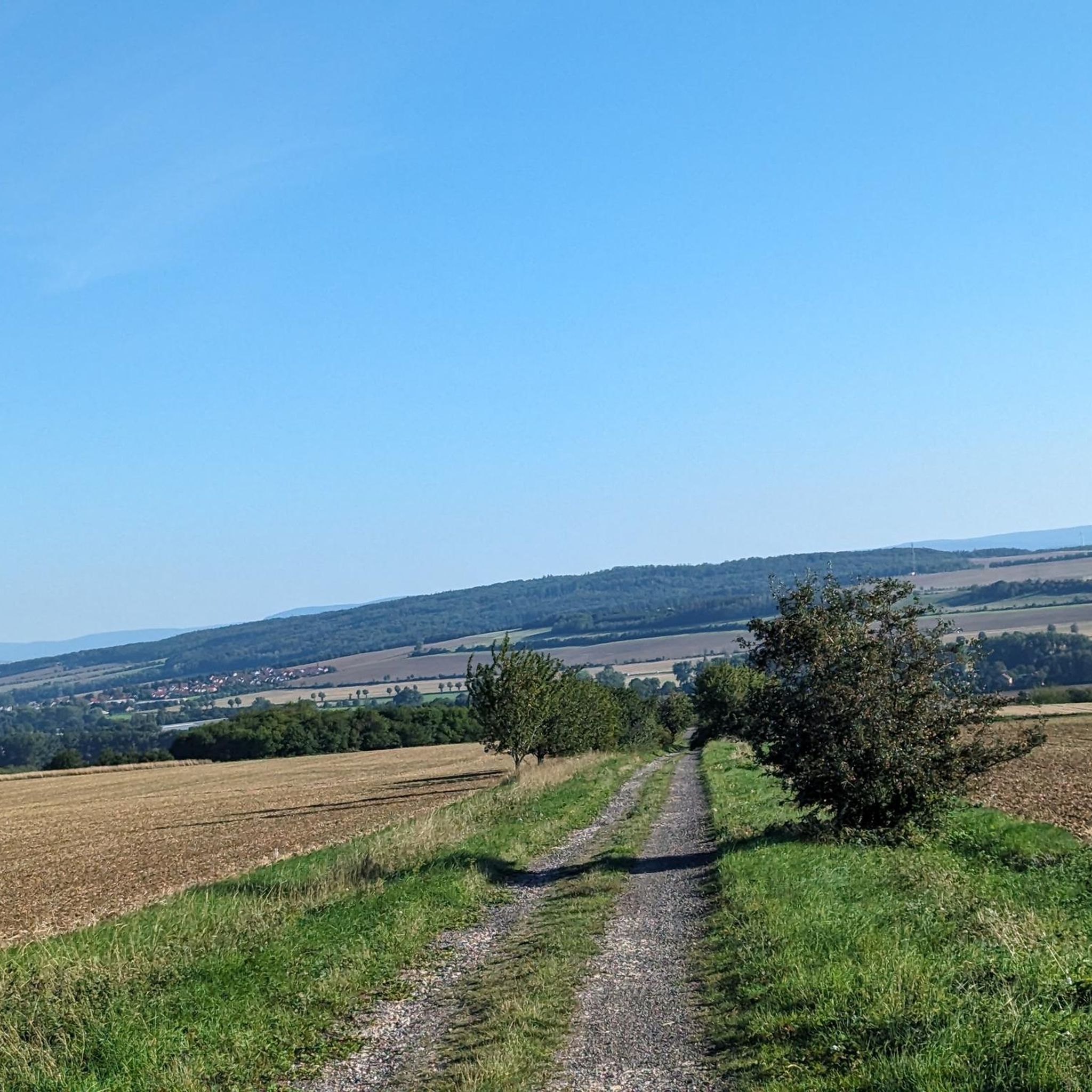
Tips from the Community

from here, entry into various hiking and cycling tours.
0
0

Very relaxing and cool in the heat
0
0

A place for a rest, right by the old horse racing track.
11
0

Secret tip for the 🐻🌱 time, mega. Nice hut, rightly there is a stamp here.
8
0
Refreshing is the spring on hot days.
8
0
A beautiful viewpoint with a good view in the distance.
10
0

Absolute peace and quiet very close to the highlights of the national park.
0
0
Frequently Asked Questions
How many gravel bike trails are available around Wangenheim?
Wangenheim offers a diverse network of nearly 20 gravel bike trails. These routes traverse varied terrain, including established cycle paths, forest trails, and rolling hills, catering to different skill levels.
Are there any easy or beginner-friendly gravel bike routes in Wangenheim?
While Wangenheim's gravel routes are generally rated as moderate to difficult, offering a good challenge, there are no routes specifically categorized as 'easy'. However, routes like the Rest area at Harth-Haus – Straight Panorama Road loop from Bad Langensalza, at 26.6 km, might be a good starting point for those looking for a shorter, moderate ride.
What are some challenging gravel bike trails in the Wangenheim area?
For a more challenging experience, consider the Bahndamm Cycle Path Rest Area – View of Inselsberg loop from Gotha Ost. This difficult 48.6 km path offers significant elevation changes and utilizes former railway embankments, providing rewarding views towards Inselsberg.
Are there gravel bike routes around Wangenheim that are approximately 20-30 km long?
Yes, for a ride in the 20-30 km range, the Rest area at Harth-Haus – Straight Panorama Road loop from Bad Langensalza is a moderate 26.6 km route. Another option slightly over 30 km is the Craula Trailhead Parking – Hainichbaude at Craulaer Kreuz loop from Bad Langensalza, which is 31.6 km.
What kind of terrain can I expect on gravel bike trails in Wangenheim?
The gravel biking routes around Wangenheim feature a mix of established cycle paths, forest trails, and rolling hills. You'll encounter varied surfaces, from paved sections to unpaved forest roads, with moderate elevation changes throughout the landscape of open fields and wooded sections.
Are there any circular gravel bike routes available in Wangenheim?
Many of the gravel routes in Wangenheim are designed as loops, offering convenient circular tours. Examples include the Rest Area on the K2 Cycle Path – Cycle Path to Großwelsbach loop from Bad Langensalza and the Fahner Höhe Forest Trails – Lohmühle Watermill loop from Bad Langensalza.
What are some interesting landmarks or attractions to see near the gravel trails?
Along and near the gravel trails, you can explore several historical and natural highlights. Consider visiting Friedenstein Castle or the Gotha Orangery. For natural beauty, the Düsteröder Pond or the Pond on the Thiemsburg Nature Trail offer scenic spots.
What do other gravel bikers enjoy most about the routes in Wangenheim?
The gravel routes in Wangenheim are highly rated by the komoot community, with an average score of 4.7 stars from over 40 reviews. Riders often praise the varied terrain, the mix of cycle paths and forest trails, and the opportunity to explore both natural areas and local points of interest.
Are there any routes that pass by water features like lakes or ponds?
Yes, some routes will bring you close to local water features. For example, the Düsteröder Pond and the Pond on the Thiemsburg Nature Trail are notable highlights in the region that you might encounter on your rides.
Is there parking available at the trailheads for gravel biking in Wangenheim?
Yes, many routes, such as the Craula Trailhead Parking – Hainichbaude at Craulaer Kreuz loop from Bad Langensalza, indicate parking availability at their starting points. It's always a good idea to check the specific tour details on komoot for precise parking information.
What is the best season for gravel biking in Wangenheim?
Wangenheim's gravel trails are enjoyable throughout much of the year. Spring and autumn offer pleasant temperatures and beautiful scenery with changing foliage. Summer is also suitable, though it's advisable to start earlier to avoid the midday heat. Winter riding is possible, but conditions can be variable with potential for snow or ice on trails.
Are there any routes that go through the Fahner Höhe forest?
Absolutely. The Fahner Höhe Forest Trails – Lohmühle Watermill loop from Bad Langensalza is a popular 52.6 km trail that specifically leads through the scenic Fahner Höhe forest, offering a great experience amidst the trees.
Most popular attractions around Wangenheim

Get inspired with the komoot mobile app


Explore more
Browse the best Gravel rides in other regions.
