The best gravel rides around Gierstädt
3.8
(6)
48
riders
5
rides
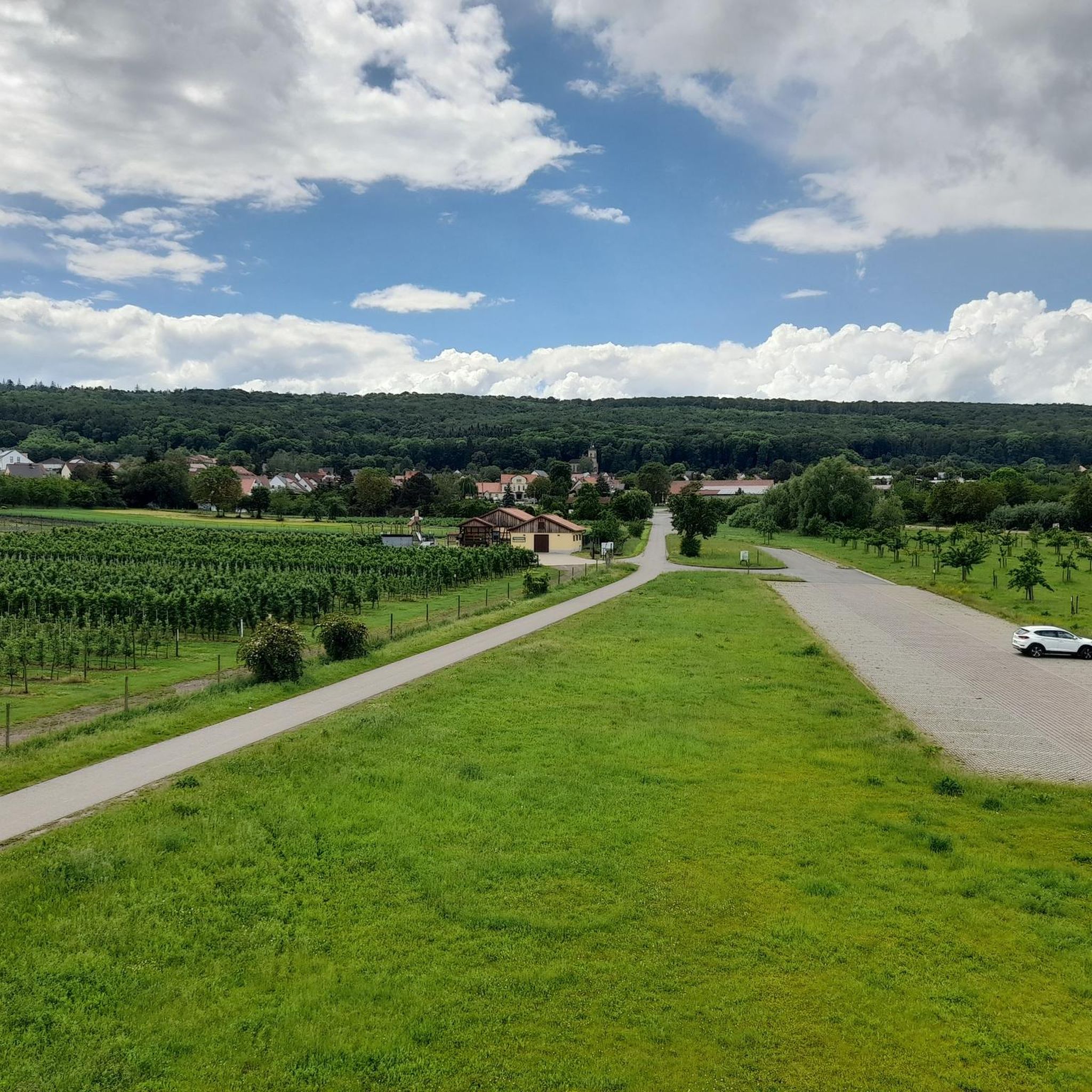
Gravel biking around Gierstädt offers routes through varied landscapes, including forest trails, open fields, and along river paths. The region features rolling hills and extensive fruit orchards, providing a mix of surfaces suitable for gravel bikes. Elevations are generally moderate, with some routes incorporating longer climbs. The terrain is characterized by a blend of natural paths and well-maintained cycle routes.
Best gravel bike trails around Gierstädt
- The most popular gravel bike trail is Fahner Höhe Forest Trails loop from Elxleben…
Last updated: July 2, 2026
11
riders
48.1km
03:29
630m
630m
Hard gravel ride. Very good fitness required. You may need to push your bike for some segments of this route.
5.0
(3)
17
riders
39.2km
02:10
350m
350m
Moderate gravel ride. Good fitness required. Mostly paved surfaces. Suitable for all skill levels.

Sign up for free
3.0
(1)
5
riders
37.9km
02:25
430m
430m
Moderate gravel ride. Good fitness required. Mostly paved surfaces. Suitable for all skill levels.
4.0
(2)
4
riders
35.5km
02:09
180m
180m
Moderate gravel ride. Good fitness required. Mostly paved surfaces. Suitable for all skill levels.
3.0
(1)
4
riders
35.2km
01:51
270m
270m
Moderate gravel ride. Good fitness required. Mostly paved surfaces. Suitable for all skill levels.
Our route recommendations are based on thousands of hikes, rides, and runs completed by other people on komoot.
Start today with a free account
Your next adventure awaits.
Login or Signup
Tips from the Community

Secret tip for the 🐻🌱 time, mega. Nice hut, rightly there is a stamp here.
8
0
Refreshing is the spring on hot days.
8
0

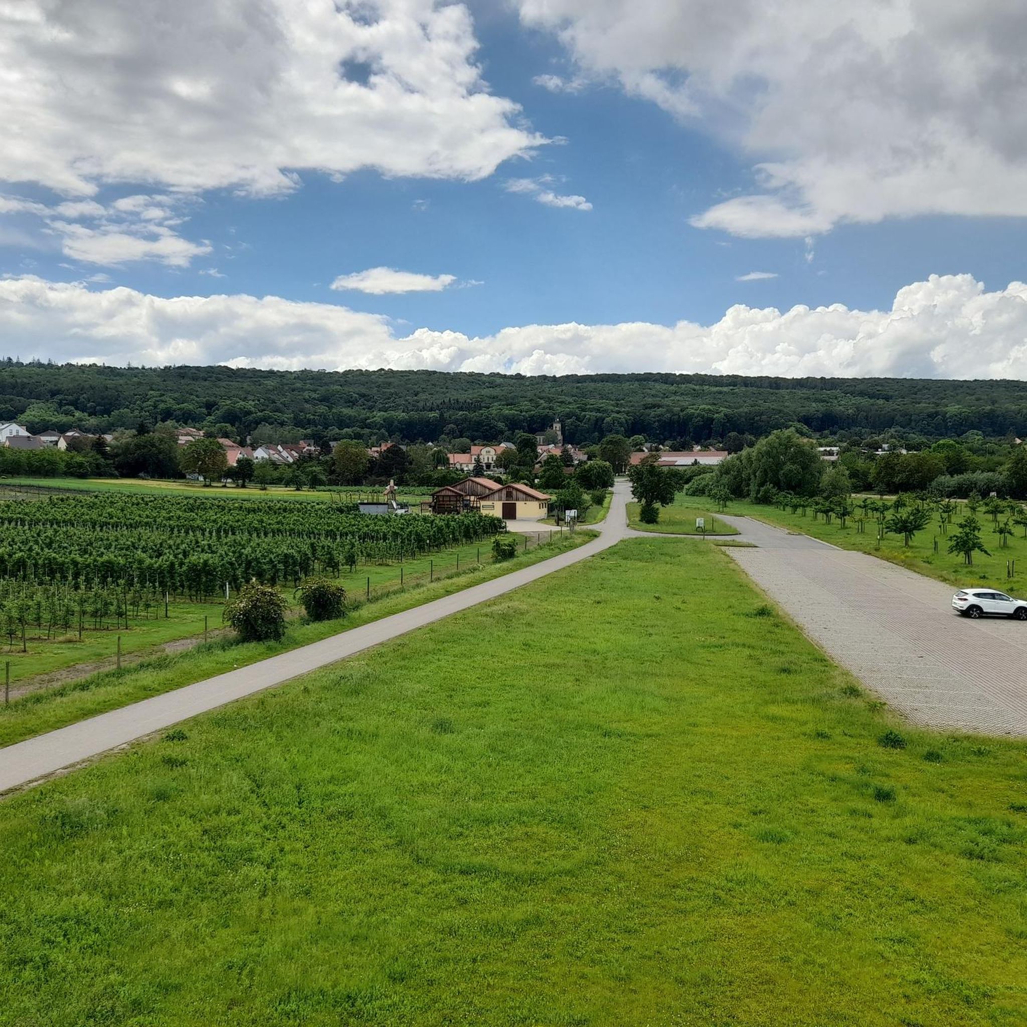
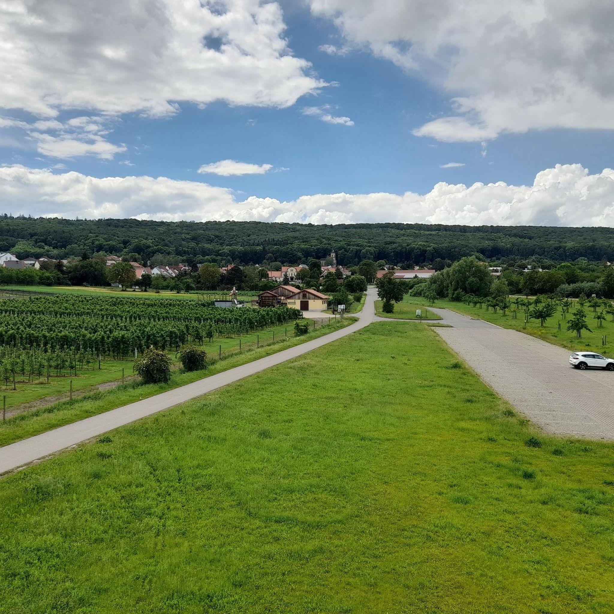
When the fruit trees bloom .......
1
0

The Nesseltal Cycle Path runs, among other things, along a former railway line between Eisenach and Nessetal, then continues towards Erfurt, offering a particularly pleasant and well-developed route. Largely paved, with gentle inclines and plenty of natural surroundings, it's perfect for leisurely cyclists, families, and touring cyclists. Along the way, there are numerous beautiful views and small villages that invite you to take a break.
2
0


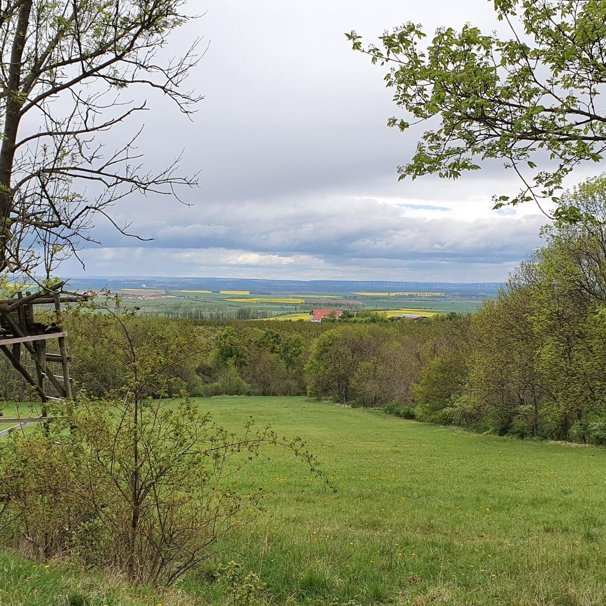
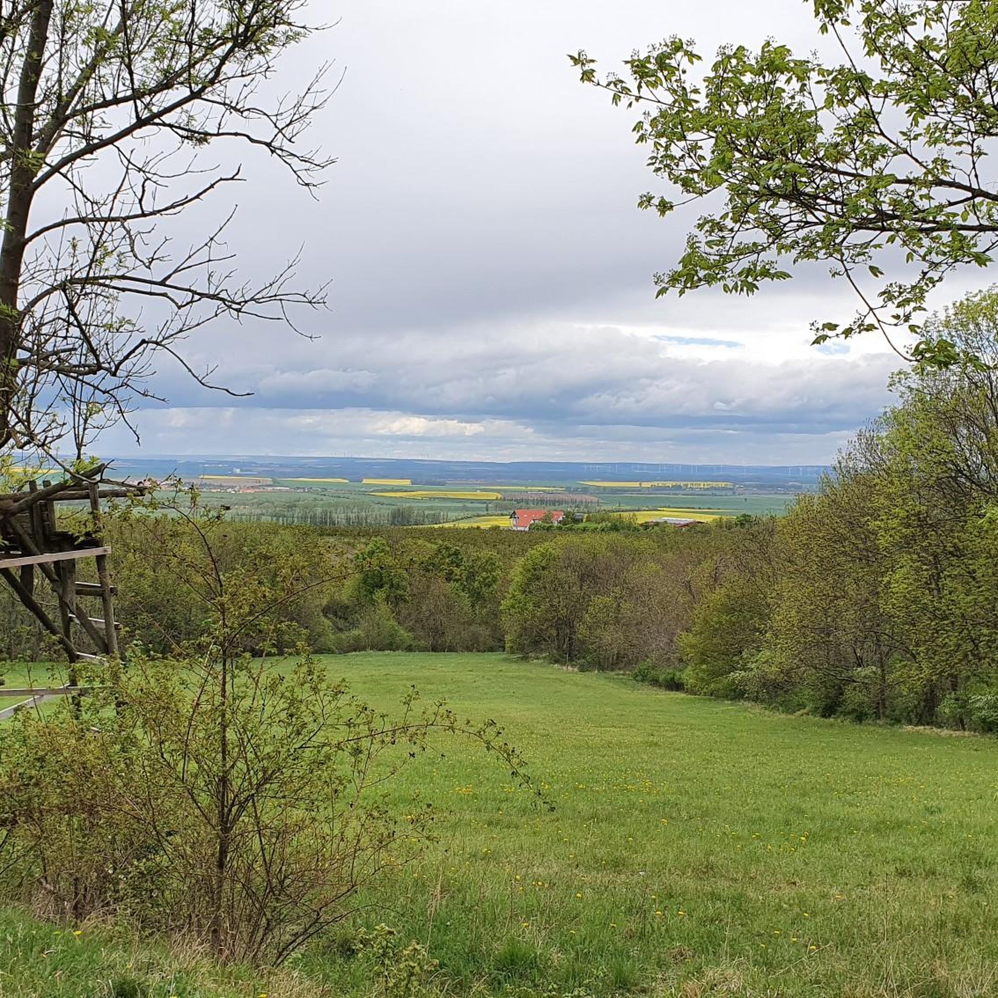
Nice and relaxing rest area with a view.
0
0

Three castles close together, accessible via cycle paths
2
1
Beautiful church, which can be seen easily and directly from the cycle path.
0
0
Frequently Asked Questions
How many gravel bike trails are available around Gierstädt?
There are 9 gravel bike routes around Gierstädt listed on komoot, offering a variety of experiences for different skill levels. These routes have been explored by over 180 gravel bikers.
What is the best time of year for gravel biking in Gierstädt?
Gierstädt's gravel trails are enjoyable throughout much of the year. Spring and autumn offer pleasant temperatures and vibrant scenery, while summer provides longer daylight hours. Even in winter, many paths can be ridden, though conditions may vary with snow or ice.
Are there any beginner-friendly gravel bike routes in Gierstädt?
Yes, Gierstädt offers routes suitable for beginners. For example, the Unstrut Cycle Path – Gera Cycle Path loop from Zimmernsupra is a moderate route that connects two significant cycle paths, providing diverse scenery without overly challenging terrain.
Are there any challenging gravel bike routes for experienced riders?
Absolutely. Experienced riders looking for a challenge can explore routes like the Fahner Höhe Forest Trails – Seven Graves Memorial loop from Elxleben. This difficult 29.9-mile (48.1 km) path navigates through the Fahner Höhe forest, featuring more demanding terrain and significant elevation changes.
What kind of landscapes can I expect on gravel bike trails around Gierstädt?
Gravel biking around Gierstädt takes you through varied landscapes, including forest trails, open agricultural fields, and along river paths. You'll encounter gentle hills and a mix of natural paths and well-maintained cycle routes, offering a diverse riding experience.
Are there any circular gravel bike routes in the Gierstädt area?
Yes, many of the gravel routes around Gierstädt are designed as loops. A popular option is the Gierstädt Observation Tower – Lohmühle Watermill loop from Gierstädt, which is 24.4 miles (39.2 km) long and leads through local landmarks and rural landscapes.
What are some interesting sights or attractions along the gravel bike routes?
Many routes pass by notable points of interest. You might encounter natural monuments like the Spring at the Weiße Hütte or historic sites such as the Grundmühle in the Weißbach Valley. Some trails also offer views of local lakes like the Friemar Reservoir.
Are there places to stop for refreshments or a break along the trails?
Yes, some routes offer opportunities for breaks. For instance, the area features huts like the Weiße Hütte or the Großfahner Forest Hut, which can be great spots for a rest. You might also find cafes near some of the larger towns or villages on your route, such as the Café by the Lake Erfurt.
What do other gravel bikers enjoy most about Gierstädt?
The gravel biking routes in Gierstädt are highly rated by the komoot community, with an average score of 4.9 stars from over 30 reviews. Riders often praise the varied terrain, the mix of forest and open field paths, and the well-maintained cycle routes that make for an enjoyable experience.
Are there any long-distance gravel bike routes in the Gierstädt region?
For those seeking longer rides, Gierstädt offers several options. The Unstrut Cycle Path – Gera Cycle Path loop from Zimmernsupra, at 39.3 miles (63.3 km), is one of the longer routes, providing an extensive journey through the regional landscape.
Where can I find parking for gravel biking in Gierstädt?
Many of the gravel bike routes start from towns or villages like Gierstädt, Zimmernsupra, or Elxleben, where public parking is generally available. It's advisable to check local parking options at your chosen starting point before your ride.
Are there any routes that pass by historical landmarks or memorials?
Yes, some routes incorporate historical sites. The Fahner Höhe Forest Trails – Seven Graves Memorial loop from Elxleben, for example, passes by the Sieben Gräber Shelter, which is near the Seven Graves Memorial, offering a moment for reflection during your ride.
Most popular routes around Gierstädt
Most popular attractions around Gierstädt

Get inspired with the komoot mobile app


Explore more
Browse the best Gravel rides in other regions.
