The best gravel rides around Schnürpflingen
4.5
(48)
382
riders
68
rides
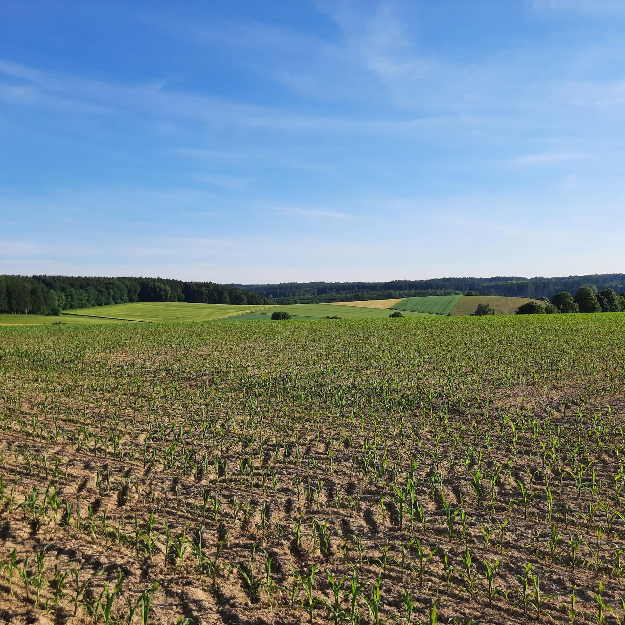
Gravel biking around Schnürpflingen features routes that traverse river valleys, including the Iller and Blau rivers, and lead through forested areas within the Holzstöcke region. The terrain generally includes a mix of paved and unpaved paths, providing varied surfaces for gravel cyclists. Elevation gains are typically moderate, making the area accessible for different skill levels. The landscape is characterized by its waterways and woodlands, offering diverse riding environments.
Best gravel bike trails around Schnürpflingen
- The most popular gravel bike trail…
Last updated: July 2, 2026
4.8
(4)
27
riders
30.8km
01:40
60m
60m
Easy gravel ride. Great for any fitness level. Mostly paved surfaces. Suitable for all skill levels.
4.7
(3)
11
riders
39.4km
02:24
320m
320m
Moderate gravel ride. Good fitness required. Mostly paved surfaces. Suitable for all skill levels.

Sign up for free
21
riders
39.8km
02:06
100m
100m
Moderate gravel ride. Good fitness required. Mostly paved surfaces. Suitable for all skill levels.
5.0
(1)
3
riders
31.9km
02:07
260m
260m
Moderate gravel ride. Good fitness required. Mostly paved surfaces. Suitable for all skill levels.
4.0
(2)
5
riders
25.5km
01:39
210m
210m
Moderate gravel ride. Good fitness required. Mostly paved surfaces. Suitable for all skill levels.
Get access to more routes and recommendations from other explorers.
Sign up for free
Already have an account?
Our route recommendations are based on thousands of hikes, rides, and runs completed by other people on komoot.
Start today with a free account
Your next adventure awaits.
Login or Signup
Tips from the Community

Excellent food, great location and no through traffic. A wonderful stopover on any tour. Reservation recommended (except for coffee and cake).
0
0

Simple short trail, nothing special.
0
0
Here you can cycle nicely without any elevation gain.
0
0
The lake is beautiful, unfortunately the forest environment is totally ugly and destroyed.
0
0

A fantastic sun terrace, plus excellent food and very good wines – highly recommended!
0
0

Well-maintained, safe crossing over the canal.
1
0

The hiking and cycling path runs in a straight line alongside the Iller River. The path is gravelled and grassy in the middle. Alongside the cycle path, you can see the floodplain forest. Between the Iller River and the cycle path, there is a grassy strip about 3 meters wide. Wildlife can probably be spotted here frequently, as there is a hunting lodge in between. At least the fish were also taken into consideration at the weir. A fish ladder is located along the edge.
0
0
Frequently Asked Questions
How many gravel bike trails are available around Schnürpflingen?
There are over 110 gravel bike trails around Schnürpflingen. The network offers a wide variety of routes, catering to different preferences and skill levels.
What is the general difficulty level of gravel biking in Schnürpflingen?
The gravel bike trails around Schnürpflingen offer a mix of difficulties. You'll find 22 easy routes, 65 moderate routes, and 26 more challenging options, ensuring there's something for every skill level.
Are there family-friendly gravel bike routes in the area?
Yes, many routes are suitable for families, especially those along the river valleys. The terrain often includes paved and unpaved paths with moderate elevation gains. Consider routes that follow the Iller River for a generally consistent and enjoyable ride.
Can I find routes that are circular or loop back to the start?
Yes, many of the gravel bike routes in Schnürpflingen are designed as loops. For example, the Forest lake – Waldsee loop from Staig is a great option that brings you back to your starting point.
What kind of terrain can I expect on gravel bike trails in Schnürpflingen?
You can expect a varied terrain, primarily featuring riverside paths along the Iller and Blau rivers, as well as sections through forested areas. The surfaces are a mix of paved and unpaved paths, providing a classic gravel biking experience.
What do other gravel bikers enjoy most about the trails in Schnürpflingen?
The komoot community highly rates the gravel biking in Schnürpflingen, with an average score of 4.7 stars from over 80 reviews. Riders often praise the varied terrain, the scenic riverside paths, and the peaceful forested sections.
Are there any notable viewpoints or natural attractions along the routes?
Yes, several routes offer scenic views and pass by natural attractions. For instance, the Path Along the River Blau – View of Rusenschloss loop from Unterwasser offers views of Rusenschloss. You can also find highlights like the Plessenteich Birdwatching Tower or the Rushing Iller River on various tours.
What are some of the longer gravel bike routes available?
If you're looking for a longer ride, the Path Along the River Blau – View of Rusenschloss loop from Unterwasser covers approximately 60.1 km (37.3 miles) and typically takes around 4 hours to complete.
Are there any routes that pass by lakes or water bodies?
Yes, some routes lead past local lakes. The Weir on the Iller – Forest lake loop from Burgrieden, for example, takes you through forested areas and past a forest lake, offering a refreshing change of scenery.
What is the best time of year for gravel biking in Schnürpflingen?
The region's moderate elevation and varied terrain make it enjoyable for gravel biking through much of the year. Spring and autumn offer pleasant temperatures and beautiful scenery, while summer provides longer daylight hours. Winter riding is possible, but trail conditions may vary with snow or ice.
Are there options for parking near the gravel bike trails?
Many trailheads and starting points for routes around Schnürpflingen offer parking facilities. It's advisable to check the specific tour details on komoot for parking information at your chosen starting location.
Can I reach the gravel bike trails using public transport?
While some starting points might be accessible by public transport, it's generally recommended to check local bus or train schedules for specific routes. For optimal flexibility, many cyclists prefer to drive to a convenient starting point.
Most popular routes around Schnürpflingen
Most popular attractions around Schnürpflingen

Get inspired with the komoot mobile app


Explore more
Browse the best Gravel rides in other regions.
