The best gravel rides around Paitzdorf
5.0
(2)
17
riders
5
rides
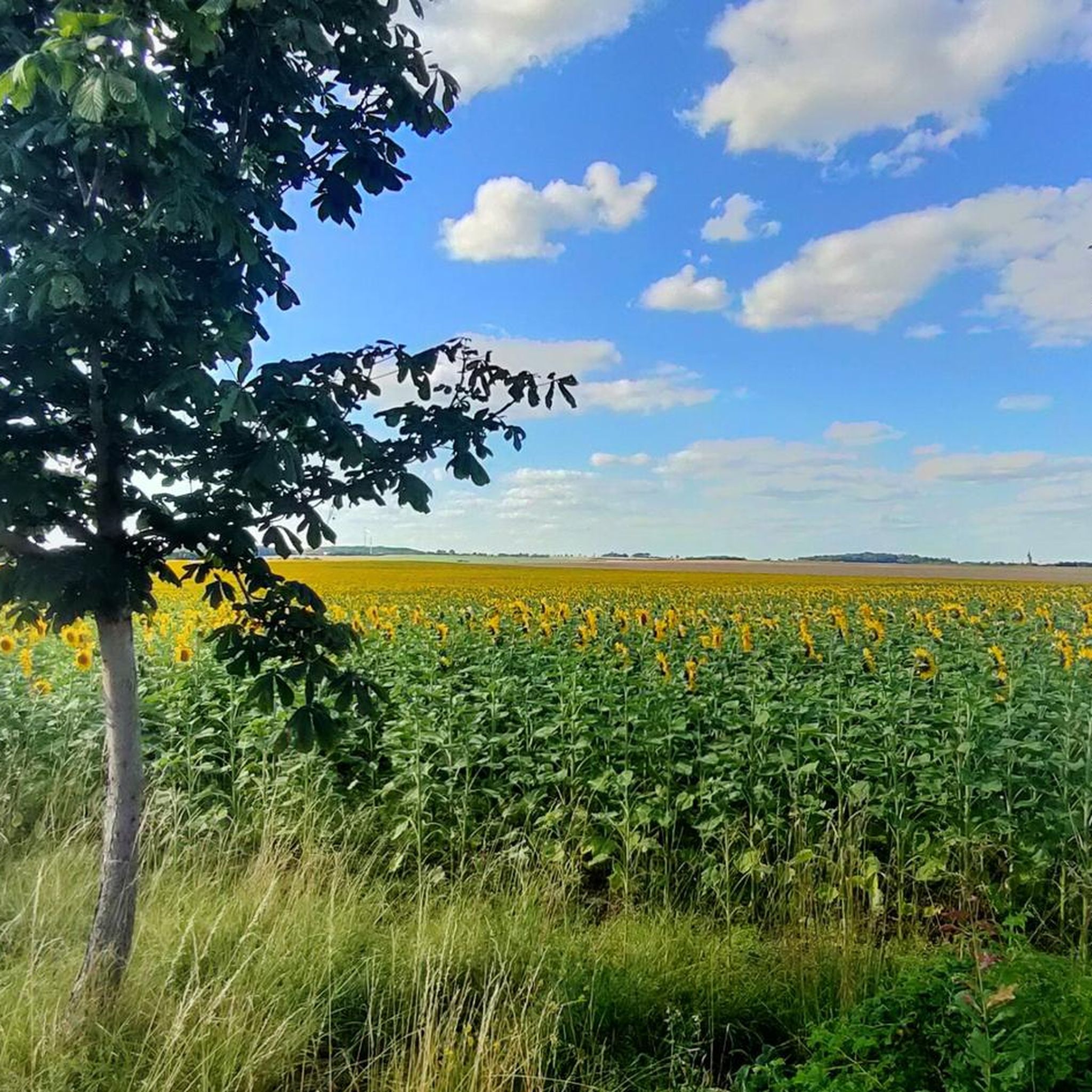
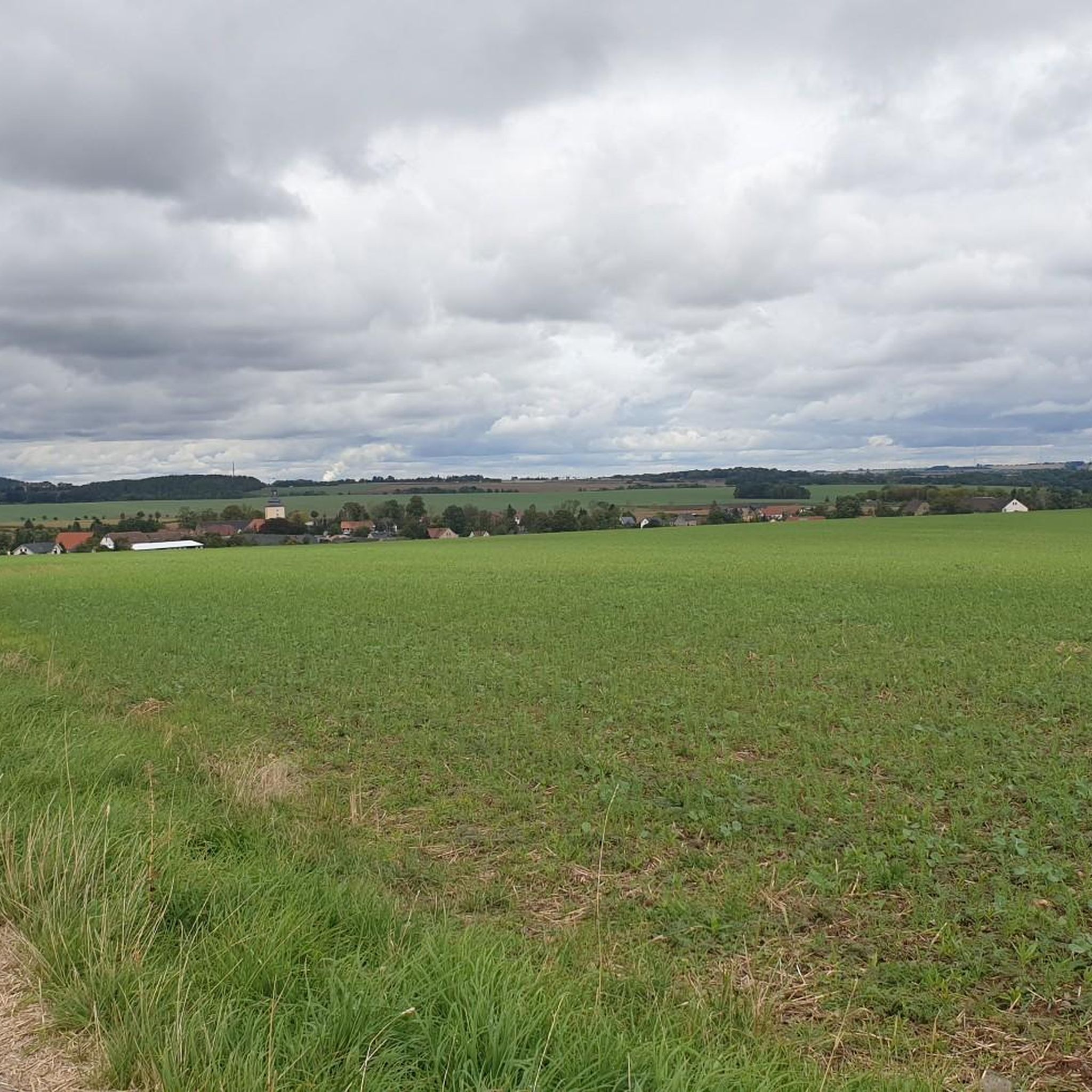
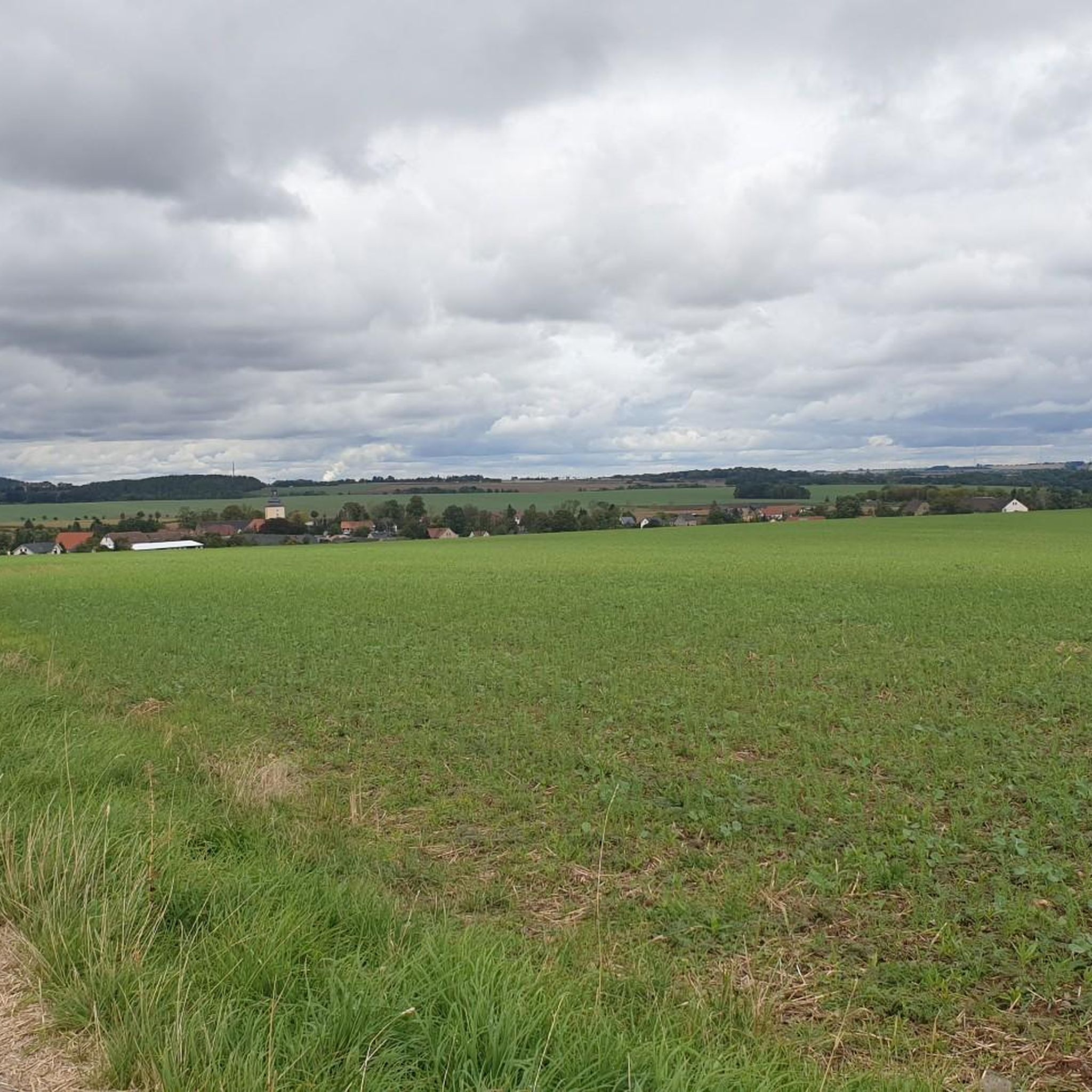
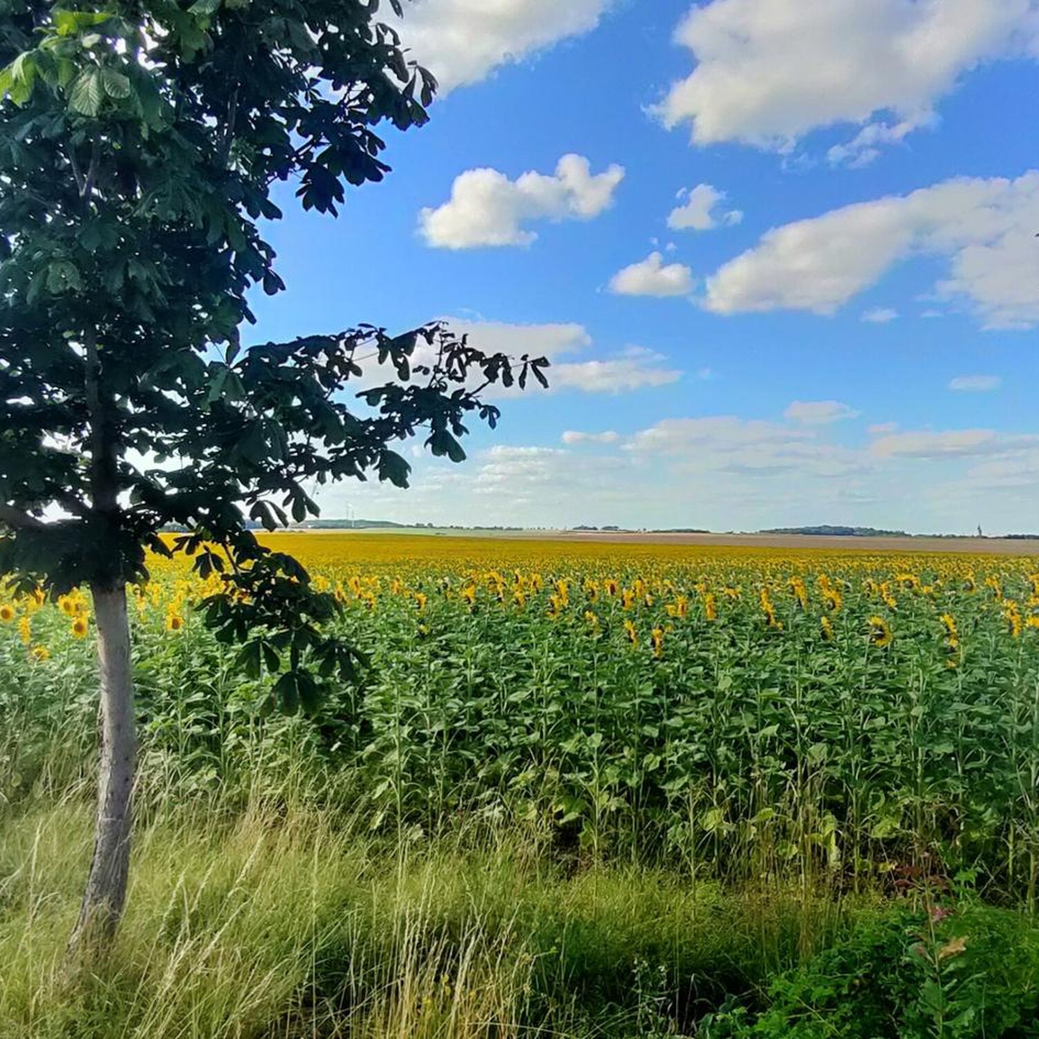
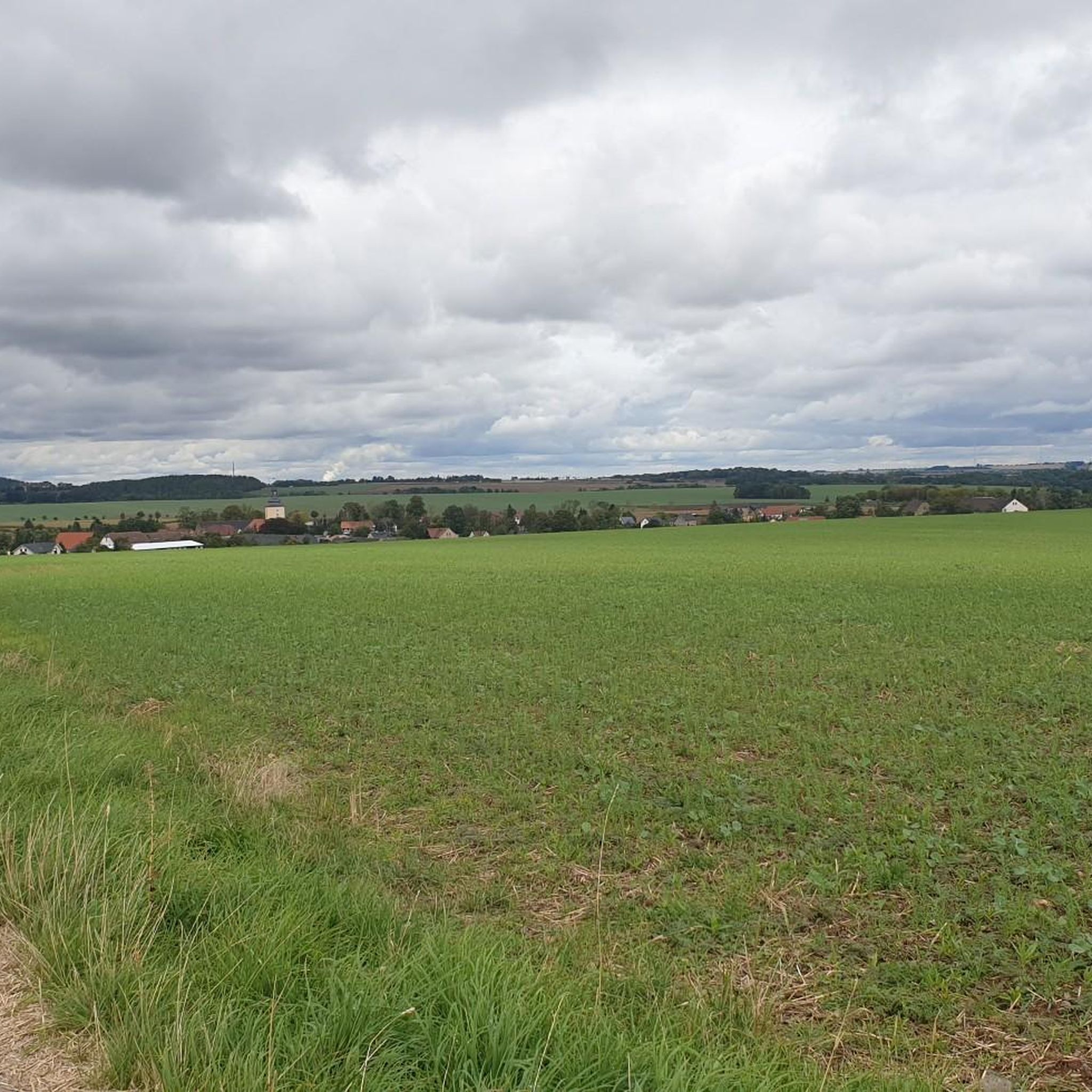
Gravel biking around Paitzdorf offers routes through varied terrain characterized by rolling hills and river valleys. The region features a network of paths that connect villages and natural areas, providing opportunities for exploration. Elevations on routes typically range from 100 to over 400 meters, indicating a landscape with gradual ascents and descents suitable for gravel cycling. The area is characterized by its scenic undulating landscapes, dense forests, and the meandering Weiße Elster river.
Best gravel bike trails around Paitzdorf
- The most popular gravel bike trail is Bismarck Tower Reust – Blankenhain Castle loop from Gera-Zwötzen, a 31.9 miles (51.4 km) trail that takes 3 hours 7 minutes to complete. This route features varied terrain and significant elevation changes.
- Another top favourite among local gravel bikers is Castle Chapel Posterstein – Posterstein Castle loop from Heukewalde, a moderate 27.6 miles (44.4 km) path. This route leads through village landscapes and past historical landmarks.
- Local gravel bikers also love the Horse Head Shelter – At Kamphausen Shelter loop from Gera-Zwötzen, a 18.5 miles (29.9 km) trail leading through varied natural areas, often completed in about 2 hours 12 minutes.
- Gravel biking around Paitzdorf is defined by cycle paths, riverbank trails, and routes connecting local villages. The network offers options for easy, moderate, and difficult ability levels.
- The routes in Paitzdorf are highly rated by the komoot community with an average score of 5.0 stars from over 2 reviews. More than 10 gravel bikers have used komoot to explore Paitzdorf's varied terrain.
Last updated: July 2, 2026
5.0
(1)
3
riders
30.0km
02:13
440m
440m
Moderate gravel ride. Good fitness required. Mostly paved surfaces. Suitable for all skill levels.
2
riders
44.4km
02:38
420m
420m
Moderate gravel ride. Good fitness required. Mostly paved surfaces. Suitable for all skill levels.

Sign up for free
3
riders
21.9km
01:11
110m
110m
Easy gravel ride. Great for any fitness level. Mostly paved surfaces. Suitable for all skill levels.
5.0
(1)
2
riders
22.7km
01:25
220m
220m
Moderate gravel ride. Good fitness required. Mostly paved surfaces. Suitable for all skill levels.
4
riders
Hard gravel ride. Very good fitness required. You may need to push your bike for some segments of this route.
Our route recommendations are based on thousands of hikes, rides, and runs completed by other people on komoot.
Start today with a free account
Your next adventure awaits.
Login or Signup
Tips from the Community

A lovely destination for a bike trip. Seating is available for resting.
2
0

FYI, the discovery tower is accessible all the way to the top (photo attached), but closed to climbing. As of August 2025, I had a fantastic view from up here. The Dragon's Tail Bridge is currently undergoing renovations after 18 years, expected to last until the end of November 2025, so it's closed. It's possible to walk through the bottom.
1
0


A horse head on the tree, one on the rest hut.
4
0

The Bismarck Tower's architectural design is similar to those in Plauen and Markneukirchen. The upper part of the tower serves as an observation deck and was reopened in 1992. On a clear day, visitors can enjoy a wonderful view all the way to the Monument to the Battle of the Nations in Leipzig and the Ore Mountains.
20
0

The Dragon's Tail Bridge in Ronneburg, Thuringia, will be closed for extensive renovation work starting Tuesday, June 10, 2025. The Gessental cycle path beneath the bridge will remain open and will be protected by scaffolding. Construction work is scheduled to be completed by the end of November 2025. Source: https://www.vogtland-tourismus.de/de/poi/bruecke/drachenschwanzbruecke/16709634/
1
0

Covered rest area with information board and lots to discover.
11
0

Frequently Asked Questions
How many gravel bike trails are available around Paitzdorf?
There are 10 gravel bike routes documented on komoot for the Paitzdorf area. These routes offer a variety of experiences, from easy rides to more challenging excursions.
Are there any easy gravel bike trails suitable for beginners or families in Paitzdorf?
Yes, Paitzdorf offers routes suitable for beginners and families. For an easier ride, consider the Schwaara Church – Milk Bank and Ramp Schwara loop from Schwaara. This route is 22 km long with about 110 meters of elevation gain, making it a good option for those looking for a less strenuous outing.
What are the typical distances and elevations for gravel biking routes in Paitzdorf?
Gravel biking routes around Paitzdorf vary in length and elevation. You'll find routes ranging from approximately 22 km to 46 km. Elevation gains typically range from around 110 meters for easier routes up to over 440 meters for more challenging ones, reflecting the region's rolling hills.
Are there any circular gravel bike routes in the Paitzdorf area?
Yes, many of the gravel bike routes around Paitzdorf are circular, allowing you to start and end at the same point. Examples include the popular Ronneburg Cycle Path – Dragon's Tail Bridge, Ronneburg loop from Löbichau and the Drachenschwanz Bridge – White Elster Riverbank loop from Gera-Zwötzen.
What kind of scenery can I expect on Paitzdorf's gravel bike trails?
The gravel bike trails in Paitzdorf offer varied scenery, including dedicated cycle paths, sections along the White Elster Riverbank, and routes connecting local villages. You'll experience rolling hills, river valleys, and glimpses of rural landscapes.
Are there any interesting landmarks or attractions along the gravel bike routes?
Yes, the region around Paitzdorf features several points of interest. You might encounter historical sites like Posterstein Castle or Blankenhain Castle. For scenic views, consider visiting the Turmhütte Observation Tower or the View from Zoitzberg.
What do other gravel bikers enjoy most about the trails in Paitzdorf?
The gravel biking experience in Paitzdorf is highly rated by the komoot community, with an average score of 4.9 stars. Reviewers often praise the varied terrain, the well-maintained cycle paths, and the opportunity to explore charming village landscapes and riverbanks.
Are there any advanced or difficult gravel bike trails in Paitzdorf?
While most routes are moderate, there are 2 routes classified as difficult for those seeking more of a challenge. These routes typically feature greater elevation changes and potentially more technical sections, offering a good workout for experienced gravel bikers.
What is the best time of year for gravel biking around Paitzdorf?
The spring, summer, and autumn months generally offer the best conditions for gravel biking in Paitzdorf. During these seasons, the weather is typically mild, and the trails are dry and well-suited for cycling. Winter conditions can vary, with potential for snow and ice, which may make some routes less accessible.
Are there any routes that pass by places to stop for refreshments or a break?
Yes, some routes are known to pass by local establishments. For example, the Café Zur Eisernen Bank – Pölziger Village Pond loop from Heukewalde is named after a café, suggesting a potential stop along the way. Exploring routes that connect villages often provides opportunities for pub stops or cafes.
Is public transport an option for accessing gravel bike trails in Paitzdorf?
Paitzdorf itself is a smaller community, but routes often start from nearby towns like Gera-Zwötzen, which has better public transport connections. It's advisable to check local bus or train schedules to see if they accommodate bikes for access to specific starting points.
Where can I find parking for gravel biking routes in Paitzdorf?
Many routes start from villages or towns that offer public parking. For instance, routes originating from Löbichau, Gera-Zwötzen, Heukewalde, or Schwaara will typically have designated parking areas nearby. Always check local signage for parking regulations.
Most popular routes around Paitzdorf
Most popular attractions around Paitzdorf

Get inspired with the komoot mobile app


Explore more
Browse the best Gravel rides in other regions.
