The 20 Most Amazing Peaks around Kaltenwestheim
Best mountain peaks around Kaltenwestheim are found within the Rhön Mountains, a UNESCO Biosphere Reserve. This region, known as the "Land of Open Distances," offers diverse natural features and panoramic views. Kaltenwestheim serves as a base for exploring these accessible peaks. The area provides varied terrain for outdoor enthusiasts.
Best mountain peaks around Kaltenwestheim
- The most popular mountain peaks is Noah's Segel Observation Tower on the Ellenbogen, a viewpoint that offers a fantastic panoramic view of the Rhön. This…
Last updated: June 24, 2026
Noah's Segel Observation Tower on the Ellenbogen
Highlight • Viewpoint
Translated by Google •
Tip by

Buchschirmberg summit and Kreuz des Ostens (Cross of the East)
Highlight • Summit
Translated by Google •
Tip by

Sign up now to discover places like this
Get recommendations on the best single tracks, peaks, & plenty of other exciting outdoor places.
Sign up for free
Hohe Geba Summit
Highlight • Summit
Translated by Google •
Tip by

Gläserberg Summit and Dermbach Hut
Highlight • Summit
Translated by Google •
Tip by

Habel Village and Habelberg
Highlight • Settlement
Translated by Google •
Tip by

Sign up for free to discover even more peaks around Kaltenwestheim.
Sign up for free
Already have an account?
Start today with a free account
Your next adventure awaits.
Login or Signup
Popular around Kaltenwestheim

Stages of the HOCHRHÖNER Premium Hiking Trail

Wonderful Green Band

Hike Germany’s Rhön Mountains on the Hochrhöner Trail
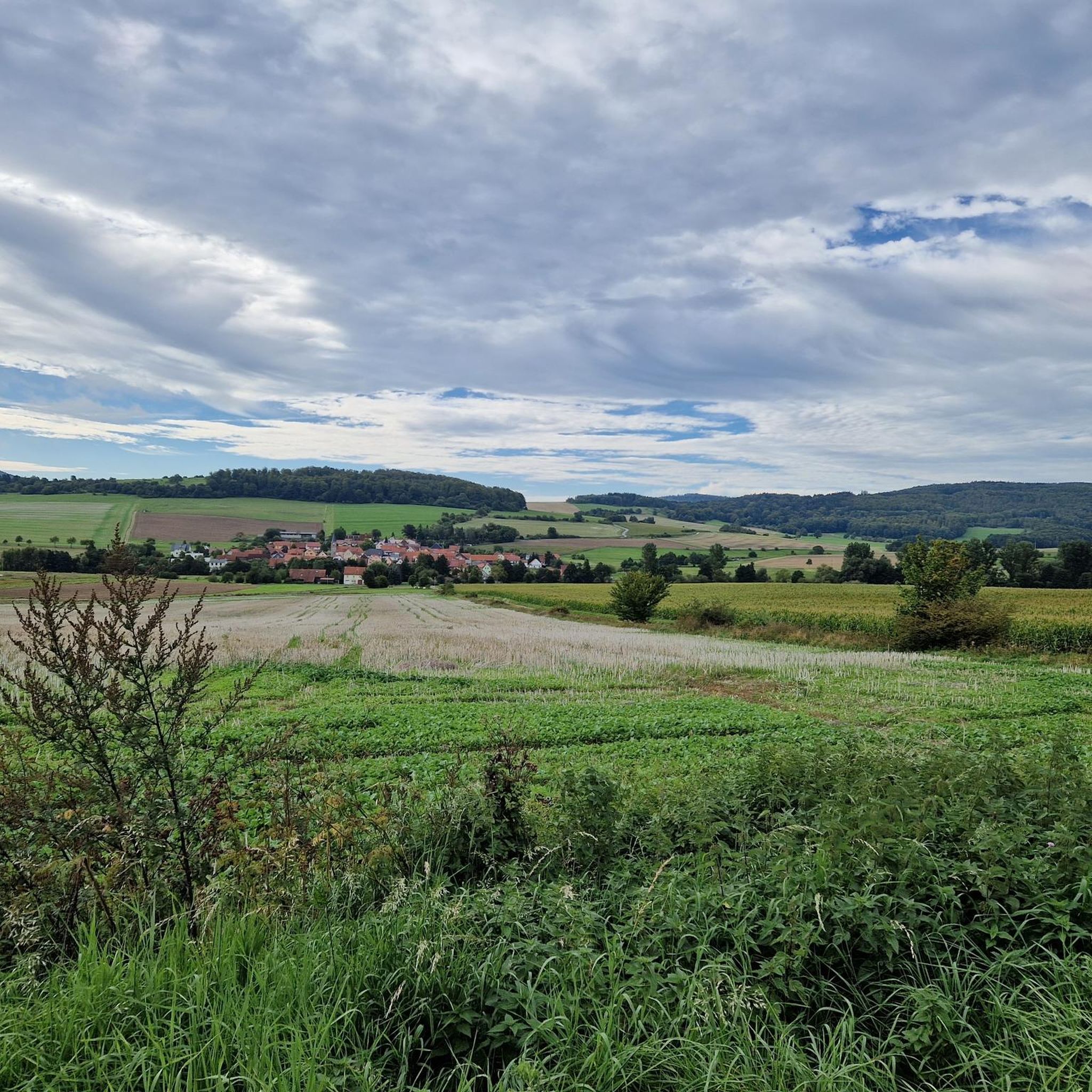
Hiking around Kaltenwestheim
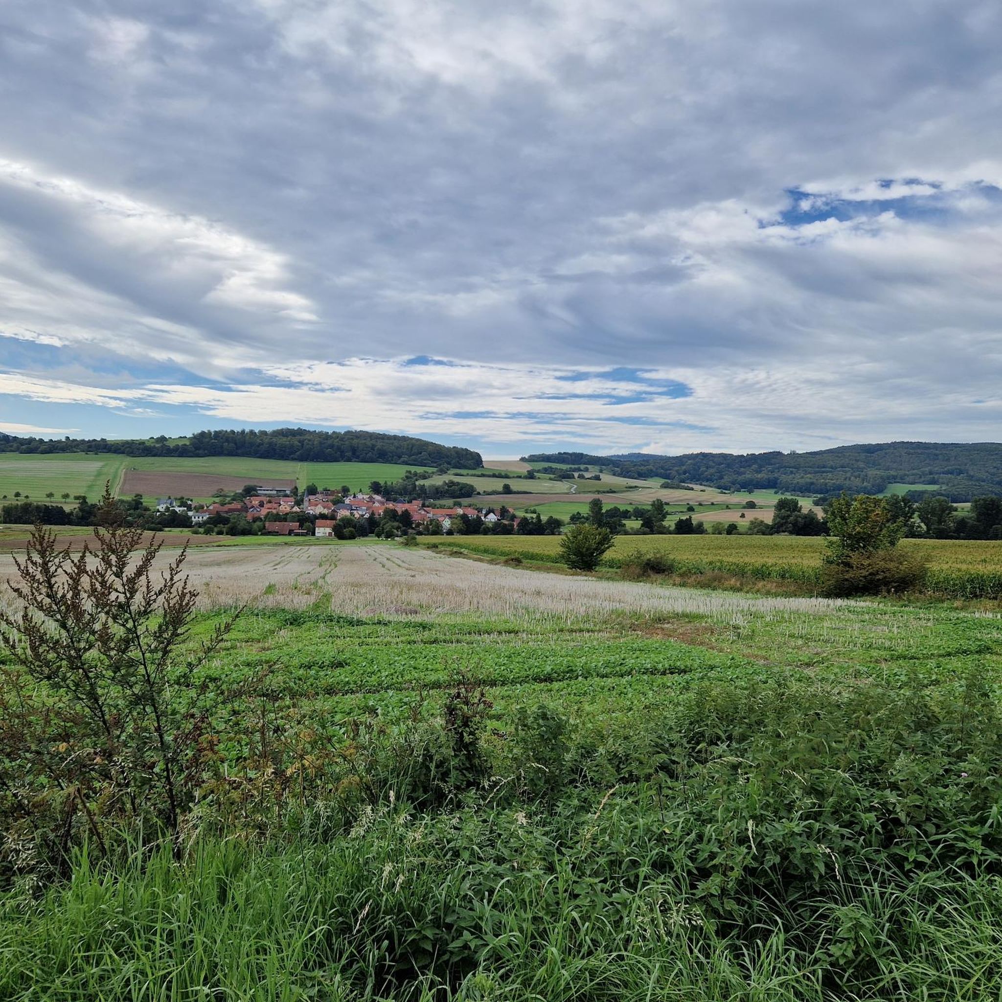
MTB Trails around Kaltenwestheim
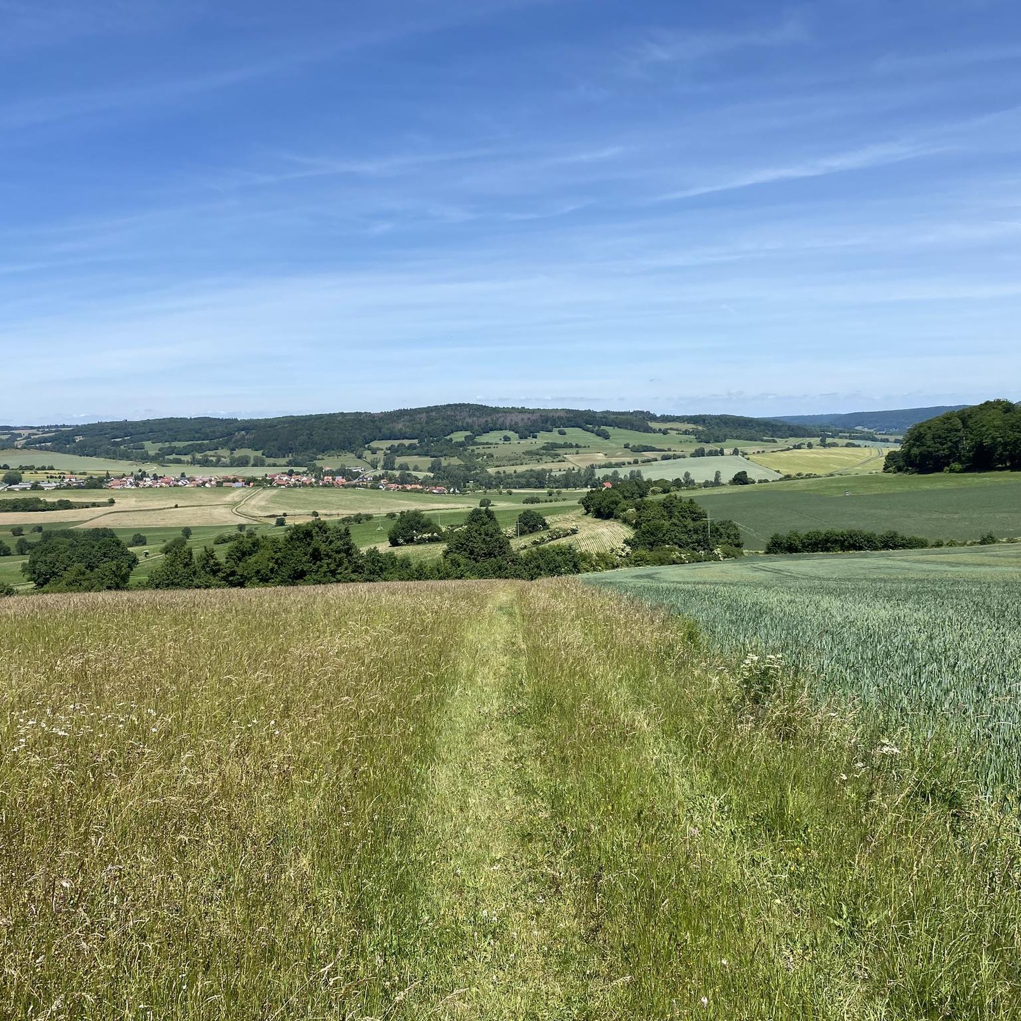
Running Trails around Kaltenwestheim
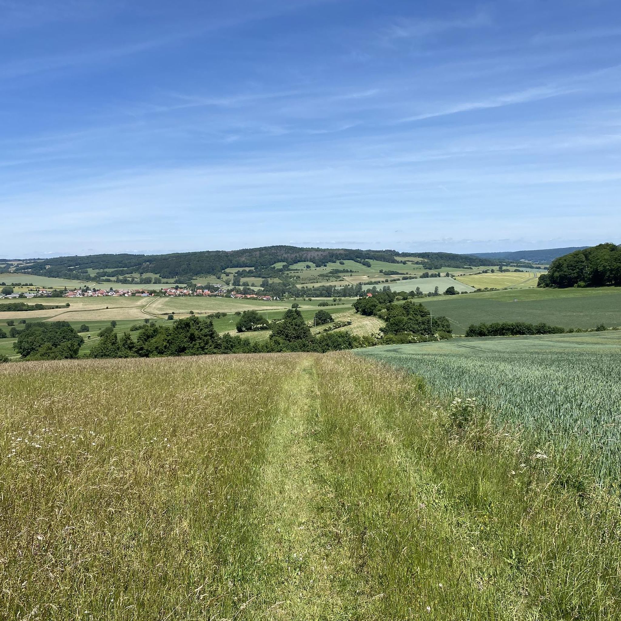
Cycling around Kaltenwestheim
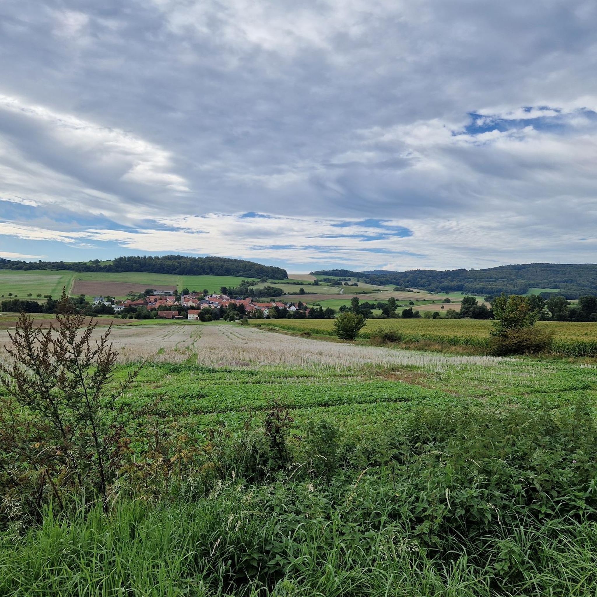
Road Cycling Routes around Kaltenwestheim
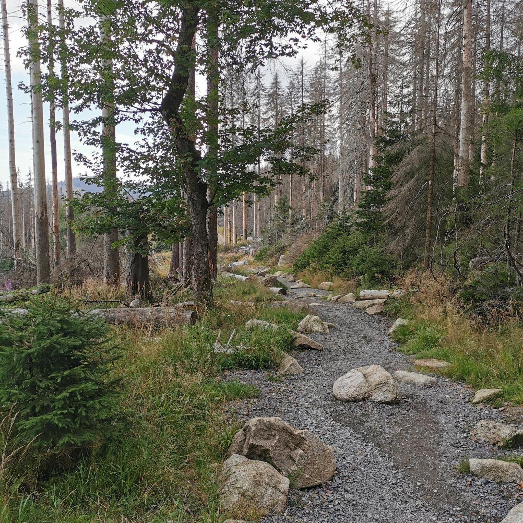
Gravel biking around Kaltenwestheim


Tips from the Community

This view is unparalleled and makes hikers pause in awe on the summit of the Gläserberg. No tree, no bush obscures the view from the bare mountaintop, which greets visitors from afar. Anyone who has managed the climb to the 671-metre-high Gläserberg is rewarded with a fantastic panoramic view. A panorama that stretches far beyond the borders, with the Wartburg (34 km) in the north, the Schneekopf (47 km) in the east, the Heidelstein (26 km) in the south and the Rößberg (14 km) in the west at the hiker's feet. A beautiful spot on earth, which was sung about in the Gläserlied long ago with the words: "Happy hikers will flock from all over the wide Rhön to look out into the distant lands from your proud heights!" Source:https://www.rhoenforum.de/tourismus-tipps/wanderh%C3%BCtten/dermbacher-h%C3%BCtte-gl%C3%A4serberg/
11
1

Nice up here, and I, idiot, forgot the notebook🙄😂
15
0

There is a wonderful view from the Hohe Geba! Just enjoy!
9
0

Thuringia Forest "Why we see what we see" information board No. 15
10
0

Exact position at the entrance to the Bergstübchen, in the right corner. The exact position of the boxes 🗃️ is often not correct, so you search and search and...😉🙋♂️
8
0

Wonderful view of the Thuringian Rhön.
13
2
Great view of the Rhön.
8
0

The Hohe Geba is always worth a detour.
13
0
Frequently Asked Questions
What are some of the most popular mountain peaks to visit around Kaltenwestheim?
The region around Kaltenwestheim, nestled in the Rhön Mountains, offers several popular peaks. Highlights include the Noah's Segel Observation Tower on the Ellenbogen, which provides fantastic panoramic views, and the Buchschirmberg summit and Kreuz des Ostens, known for its impressive vantage points. Other notable peaks are the Wasserkuppe, the highest in the Rhön, and the Milseburg, a unique rock mountain with 360-degree views.
Are there family-friendly mountain peaks or activities near Kaltenwestheim?
Yes, several peaks and attractions cater to families. The Noah's Segel Observation Tower on the Ellenbogen is considered family-friendly, offering an accessible viewing platform. The Hohe Geba Summit features a children's playground, a snack bar, and a nature garden, making it an excellent choice for families. The Wasserkuppe also has a summer toboggan run, which is popular with children.
What kind of natural features can I expect to see on the mountain peaks around Kaltenwestheim?
The Rhön Mountains offer diverse natural features. You can find expansive panoramic views from peaks like Wasserkuppe, Heidelstein, and Himmeldunkberg. The Schafstein is notable for Germany's largest basalt block field and enchanting ancient beech forests. The Milseburg is a unique rock formation, and the nearby Schwarzes Moor Nature Trail features a two-kilometer-long boardwalk through a well-preserved raised bog, showcasing rare animal and plant species.
Are there historical or cultural sites on or near these mountain peaks?
Yes, the region has historical significance. The Milseburg is the site of a former Celtic oppidum. The Hohe Geba Summit is recognized as a historical site. Additionally, the Kreuzberg is home to a well-known monastery, adding a cultural and historical dimension to your visit. The Habel Village and Habelberg also have a rich history, including a Celtic ring wall.
What hiking opportunities are available near Kaltenwestheim's mountain peaks?
The Rhön Mountains are a hiker's paradise. The "Hochrhöner" premium hiking trail, recognized as one of Germany's most beautiful routes, passes through prominent peaks like Wasserkuppe and Kreuzberg. You can find various hiking trails, including moderate to difficult options, such as the "Sound Station on the Hexenpfad – Hexenpfad Fischbach loop" or the "Western Rhön Forest Path – Milseburgweg Trail loop." For more details on routes, explore the Running Trails around Kaltenwestheim guide.
What are some less crowded mountain trails or peaks to explore?
While popular peaks attract many visitors, you might find quieter experiences on trails leading to or around the Himmeldunkberg, which offers wonderful panoramic views and is frequented by hikers, mountain bikers, and model airplane pilots. Exploring the trails within the Schafstein nature reserve, known for its basalt block field, can also offer a more serene experience amidst impressive natural beauty.
What kind of views can I expect from the mountain peaks?
The mountain peaks around Kaltenwestheim are renowned for their extensive and breathtaking views. From the Wasserkuppe, you get panoramic views across the entire Rhön landscape. The Heidelstein offers expansive vistas over the "Lange Rhön," reaching as far as the Thuringian Forest on clear days. The Milseburg provides exceptional 360-degree views, and the Gläserberg Summit offers a wonderful view over the Rhön to the Thuringian Forest and Rennsteig.
Are there places to eat or rest near the mountain peaks?
Yes, several peaks offer amenities for visitors. The Milseburg has a chalet at its summit, providing a unique resting spot. The Dermbach Hut at Gläserberg Summit is a popular stop for hikers, often open on Sundays and public holidays. The Hohe Geba Summit also features a snack bar.
What other outdoor activities are available besides hiking?
Beyond hiking, the region offers various outdoor activities. The Wasserkuppe is a hub for gliding and also features a summer toboggan run. The Himmeldunkberg attracts mountain bikers and model airplane pilots. You can find dedicated routes for road cycling and mountain biking. For example, explore the Road Cycling Routes around Kaltenwestheim or the MTB Trails around Kaltenwestheim guides for detailed route information.
What is the best time to visit the mountain peaks around Kaltenwestheim?
The Rhön Mountains are beautiful year-round, but the best time depends on your preferred activities. Spring and autumn offer pleasant temperatures for hiking and cycling, with vibrant foliage in autumn. Summer is ideal for enjoying outdoor activities like the Wasserkuppe's summer toboggan run and longer daylight hours. Winter can transform the landscape into a snowy wonderland, suitable for winter hiking, though some facilities might have limited opening hours.
What makes the Rhön Mountains, where Kaltenwestheim is located, special?
The Rhön Mountains are special because they are a designated UNESCO Biosphere Reserve, often called the "Land of Open Distances." This recognition highlights its unique natural and cultural landscape, characterized by diverse ecosystems, expansive views, and a commitment to sustainable development. It's a region where you can experience impressive natural wonders like basalt block fields and well-preserved raised bogs.
Are there any challenging sections for experienced hikers?
Yes, while many trails are accessible, some sections offer a challenge for experienced hikers. For instance, the Himmeldunkberg includes a steep and challenging section known as the "Hohe Hölle." The "Hochrhöner" premium hiking trail, while generally well-maintained, covers significant distances and elevation changes, providing a rewarding experience for those seeking more strenuous hikes. You can also find "difficult" graded routes in the Running Trails around Kaltenwestheim guide.
Most popular routes around Kaltenwestheim
Most popular attractions around Kaltenwestheim

Get inspired with the komoot mobile app


Explore more
See even more amazing summits around Kaltenwestheim with these guides:
