The best gravel rides around Kälberberg
5.0
(10)
49
riders
20
rides
Gravel biking around Kälberberg offers a diverse natural landscape characterized by unpaved paths, forest trails, and varied topography. The region includes hills and features that provide elevation gain on loose ground, appealing to gravel cyclists. The Rhön Mountains provide open views and native forests, while the Rhönexpress Rail Trail offers a gentle gradient for easier rides. Natural monuments, castles, and geological formations contribute to scenic routes.
Best gravel bike trails around Kälberberg
- The most popular gravel bike trail is View…
Last updated: July 2, 2026
5.0
(1)
7
riders
Hard gravel ride. Very good fitness required. You may need to push your bike for some segments of this route.
5.0
(2)
5
riders
50.9km
03:28
1,000m
1,000m
Hard gravel ride. Very good fitness required. You may need to push your bike for some segments of this route.

Sign up for free
5.0
(1)
5
riders
Hard gravel ride. Very good fitness required. Mostly paved surfaces. Suitable for all skill levels.
3
riders
45.7km
02:59
720m
720m
Hard gravel ride. Very good fitness required. Mostly paved surfaces. Suitable for all skill levels.
5
riders
22.0km
01:24
380m
380m
Moderate gravel ride. Good fitness required. Mostly paved surfaces. Suitable for all skill levels.
Get access to more routes and recommendations from other explorers.
Sign up for free
Already have an account?
Our route recommendations are based on thousands of hikes, rides, and runs completed by other people on komoot.
Start today with a free account
Your next adventure awaits.
Login or Signup
Tips from the Community

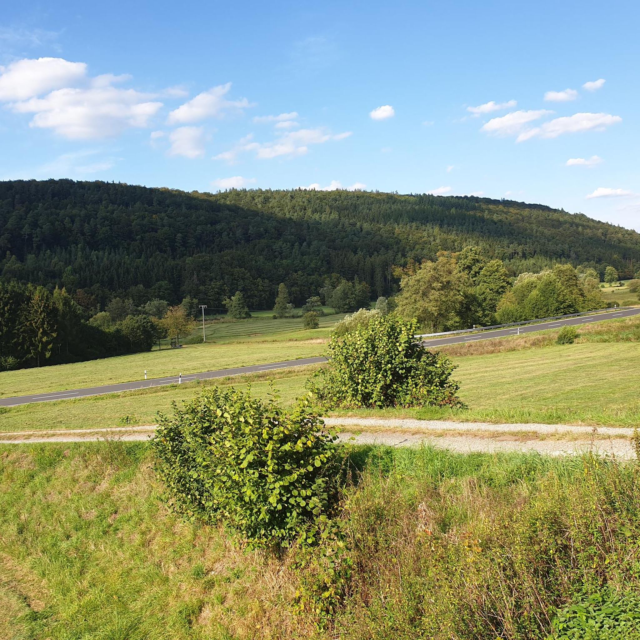
Steep mountain with up to 20% in the forest (shady). Particularly steep in the lower and upper sections, somewhat unrhythmic
0
0


The Kursaal building, dating from 1830, is one of the most important buildings in the state spa of Brückenau.
6
0

A truly beautiful mill in the Schondra Valley. Absolutely worth a visit.
0
0

The Kinzig is a river approximately 86 kilometers long. It rises in Sterbfritz, flows southwest through the Main-Kinzig district of Hesse, and flows into the Main from the right in Hanau. The Kinzig is a second-order river in low mountain ranges. It overcomes an elevation of 301 meters and has a bed gradient of 3.5 per thousand. The Kinzig's catchment area covers 1,058 square kilometers, and the calculated mean discharge (MQ) at the mouth of the Kinzig is 10.97 cubic meters per second. The Kinzig was first documented in 796 as "iuxta fluvium Kincihen." In 815, the name was written as "Chinzicha," around 900 as "Kincicha"/"Kinzicham," in 1364 as "Kinzige," in 1584 as "Kintzig," in 1607 as "Bintz," in 1681 as "Kintz," in 1716 as "Kins," in 1769 as "Kinzing," and in 1802 as "Kinzig." In the river's headwaters, there was the now-defunct village of Kinzig, mentioned in 815 as "Chirizichheimero." The village and river were often confused by monastery scribes at that time with "Chizzicha" (now Bad Kissingen), both of which were described as being located in the Saalegau. The name presumably derives from the ancient Celtic *ku̯anti̯o- meaning "flat hill, valley." The name was therefore derived from the mountainous region from which the Kinzig flows. Source: Wikipedia
1
0
The Kinzig is a river approximately 86 kilometers long. It rises in Sterbfritz, flows southwest through the Main-Kinzig district of Hesse, and flows into the Main from the right in Hanau. The Kinzig is a second-order river in low mountain ranges. It overcomes an elevation of 301 meters and has a bed gradient of 3.5 per thousand. The Kinzig's catchment area covers 1,058 square kilometers, and the calculated mean discharge (MQ) at the mouth of the Kinzig is 10.97 cubic meters per second. The Kinzig was first documented in 796 as "iuxta fluvium Kincihen." In 815, the name was written as "Chinzicha," around 900 as "Kincicha"/"Kinzicham," in 1364 as "Kinzige," in 1584 as "Kintzig," in 1607 as "Bintz," in 1681 as "Kintz," in 1716 as "Kins," in 1769 as "Kinzing," and in 1802 as "Kinzig." In the river's headwaters, there was the now-defunct village of Kinzig, mentioned in 815 as "Chirizichheimero." The village and river were often confused by monastery scribes at that time with "Chizzicha" (now Bad Kissingen), both of which were described as being located in the Saalegau. The name presumably derives from the ancient Celtic *ku̯anti̯o- meaning "flat hill, valley." The name was therefore derived from the mountainous region from which the Kinzig flows. Source: Wikipedia
1
0


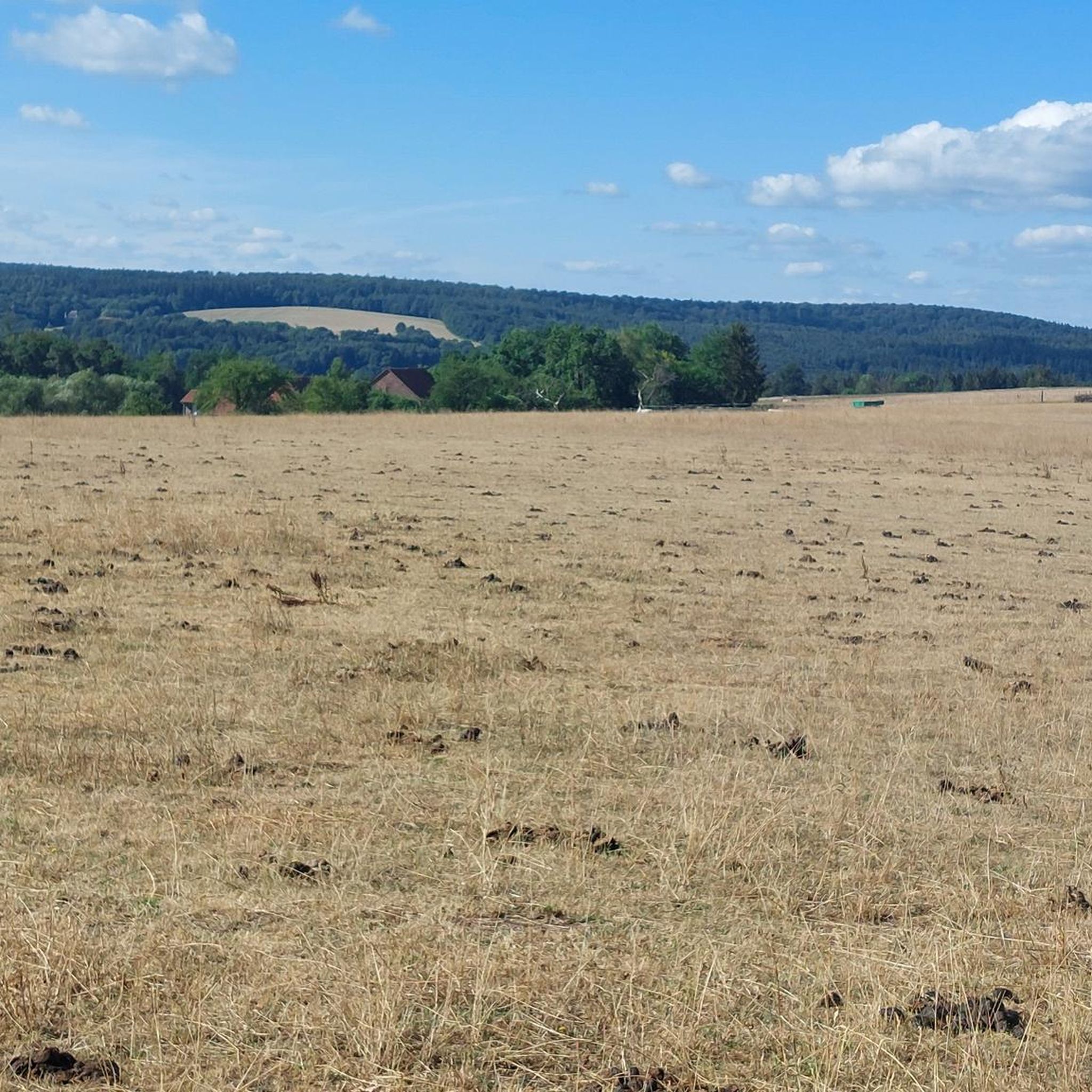
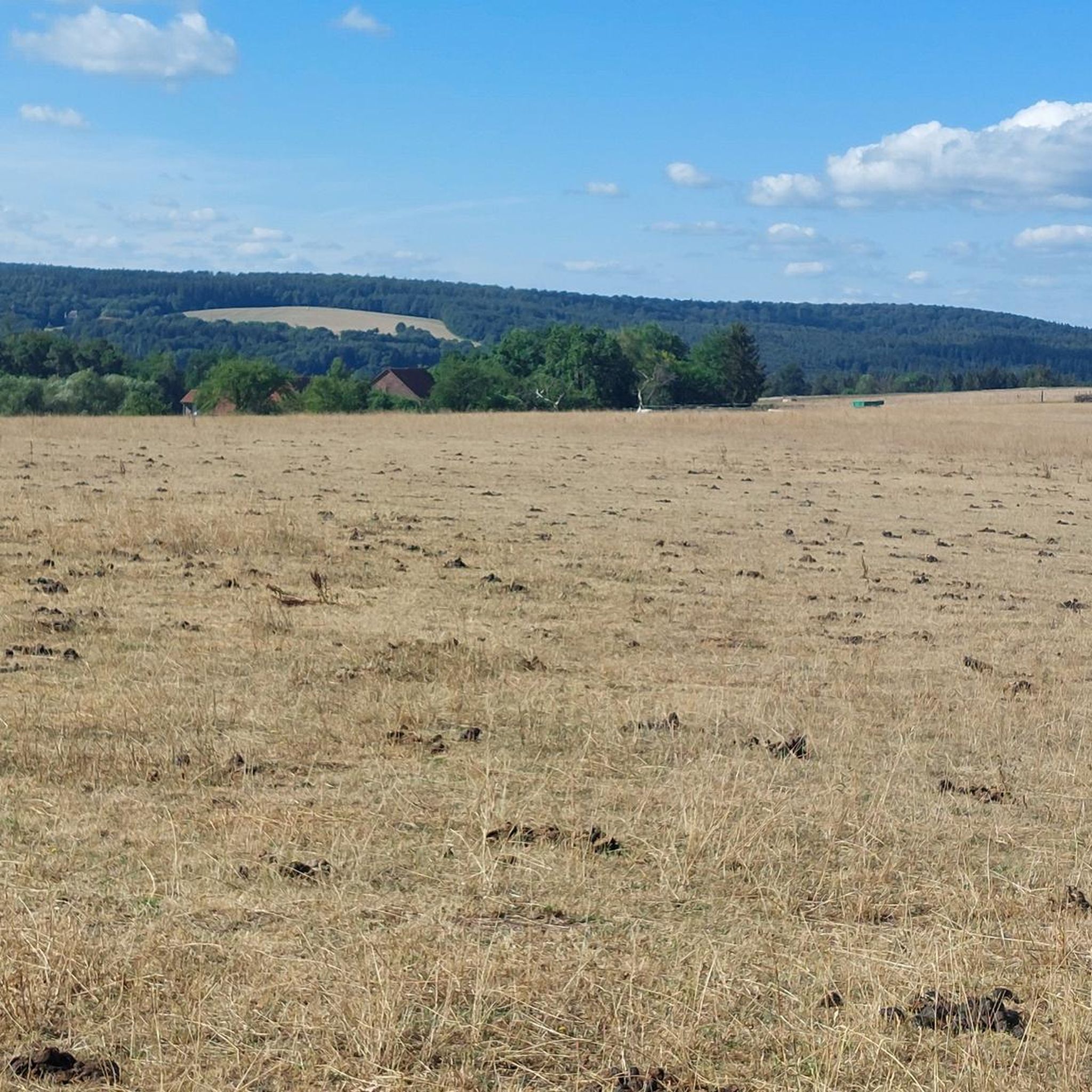
From here, you have a fantastic view of the Rhön Mountains. But the distinctive waypoint with the memorial cross is a great place to take a leisurely break with a fantastic panoramic view 🤩⛰️☀️ #Rhön #View #Waypoint #Break #Cross
1
0
Frequently Asked Questions
How many gravel bike trails are available around Kälberberg?
There are over 30 gravel bike routes to explore around Kälberberg. The region offers a good mix, with 9 moderate trails and 23 more challenging options for experienced riders.
What kind of terrain can I expect on gravel bike trails near Kälberberg?
The terrain around Kälberberg is quite diverse, featuring unpaved paths, forest trails, and varied topography. You'll encounter hills that provide elevation gain on loose ground, making for engaging rides. The region also boasts natural monuments, castles, and geological formations like the Predigtstuhl Rock, adding scenic variety to your routes.
Are there any family-friendly gravel bike trails in Kälberberg?
While many routes are moderate to difficult, the presence of the Rhönexpress Rail Trail suggests flatter, more accessible sections that could be suitable for families. Look for routes that incorporate parts of this former railway line for a potentially easier ride.
What are some notable landmarks or attractions I can see while gravel biking in the area?
You can discover several interesting points along the trails. Consider routes that pass by historical sites like Ramholz Castle or the Ruins of Steckelberg Castle. The Bad Brückenau Spa Park is another beautiful spot, and for panoramic views, the Dreistelzturm Observation Tower is worth seeking out.
Are there any circular gravel bike routes around Kälberberg?
Yes, many of the gravel routes in the Kälberberg area are designed as loops. For example, the moderate View of Schwarzenfels Castle – Sinn Bridge Altengronau loop from Staatsbad Brückenau offers a scenic circular ride, and the challenging View of the Schmale Sinn – Sinn River loop from Oberzell is also a loop.
What do other gravel bikers say about the trails in Kälberberg?
The gravel biking routes around Kälberberg are highly regarded by the komoot community, holding an impressive average rating of 4.9 stars from over 40 reviews. Riders often praise the diverse natural landscape and the engaging mix of unpaved paths and forest trails.
Are there any routes that follow old railway lines?
Yes, the region features routes that utilize former railway lines. The difficult Rhönexpress Rail Cycle Path – Rhönexpress Rail Trail loop from Volkers is a great example, offering a mix of forest paths and open scenery along a historic railway route. You can also find sections of the Rhönexpress Railway Cycle Path at Römershag.
Where can I find places to rest or take shelter along the trails?
There are several huts and shelters available in the region for a quick break or to take cover. You might come across the Luitpold Hut, the Bernhardswald Shelter, or the Shelter on the Golden Road. The Sinnthal Hut at Dittenbrunn Farm also provides a resting point.
Are there any long-distance gravel routes for experienced riders?
Absolutely. For experienced riders seeking a longer challenge, the difficult Sinn River – View of Rieneck Castle loop from Jossa covers nearly 70 km (43 miles) with significant elevation gain. Another demanding option is the Rhönexpress Rail Cycle Path – View of Burg Brandenstein loop from Weiperz-Berg bei Breunings und Weiperz, which is over 45 km (28 miles) long.
What is the best season for gravel biking around Kälberberg?
Given the diverse natural landscape and forest trails, spring and autumn are generally ideal for gravel biking around Kälberberg, offering pleasant temperatures and vibrant scenery. Summer can also be great, but be prepared for warmer weather. Winter riding is possible, but conditions on unpaved paths can be challenging due to snow or ice.
Are there any routes with views of castles?
Yes, several routes offer picturesque views of historic castles. The View of Schwarzenfels Castle – Sinn Bridge Altengronau loop from Staatsbad Brückenau specifically highlights views of Schwarzenfels Castle. You might also find glimpses of other historical structures like Ramholz Castle on nearby trails.
Most popular attractions around Kälberberg

Get inspired with the komoot mobile app


Explore more
Browse the best Gravel rides in other regions.
