The best gravel rides around Riedering
4.5
(1154)
7,266
riders
166
rides
Gravel biking around Riedering offers diverse landscapes, from rolling hills and green meadows to sparkling lakes and dense forests. Situated in the Upper Bavarian district of Rosenheim, the region is characterized by its varied topography, nestled between the Chiemgau Alps and Lake Simssee. This geographical setting provides a mix of paved and unpaved terrain, ideal for gravel biking exploration. The area features numerous waterways and natural attractions, contributing to a dynamic riding experience.
Best gravel bike trails around Riedering
- The…
Last updated: July 2, 2026
4.4
(46)
198
riders
21.4km
01:08
180m
180m
Moderate gravel ride. Good fitness required. Mostly paved surfaces. Suitable for all skill levels.
4.7
(11)
126
riders
57.5km
03:41
990m
990m
Hard gravel ride. Very good fitness required. You may need to push your bike for some segments of this route.

Sign up for free
4.7
(6)
44
riders
Easy gravel ride. Great for any fitness level. Mostly paved surfaces. Suitable for all skill levels.
5.0
(6)
39
riders
91.1km
05:04
810m
810m
Hard gravel ride. Very good fitness required. Mostly paved surfaces. Suitable for all skill levels.
5.0
(21)
167
riders
53.6km
02:45
230m
230m
Moderate gravel ride. Good fitness required. Mostly paved surfaces. Suitable for all skill levels.
Get access to more routes and recommendations from other explorers.
Sign up for free
Already have an account?
Our route recommendations are based on thousands of hikes, rides, and runs completed by other people on komoot.
Start today with a free account
Your next adventure awaits.
Login or Signup

Tips from the Community

Great trail, lots of fun
0
0

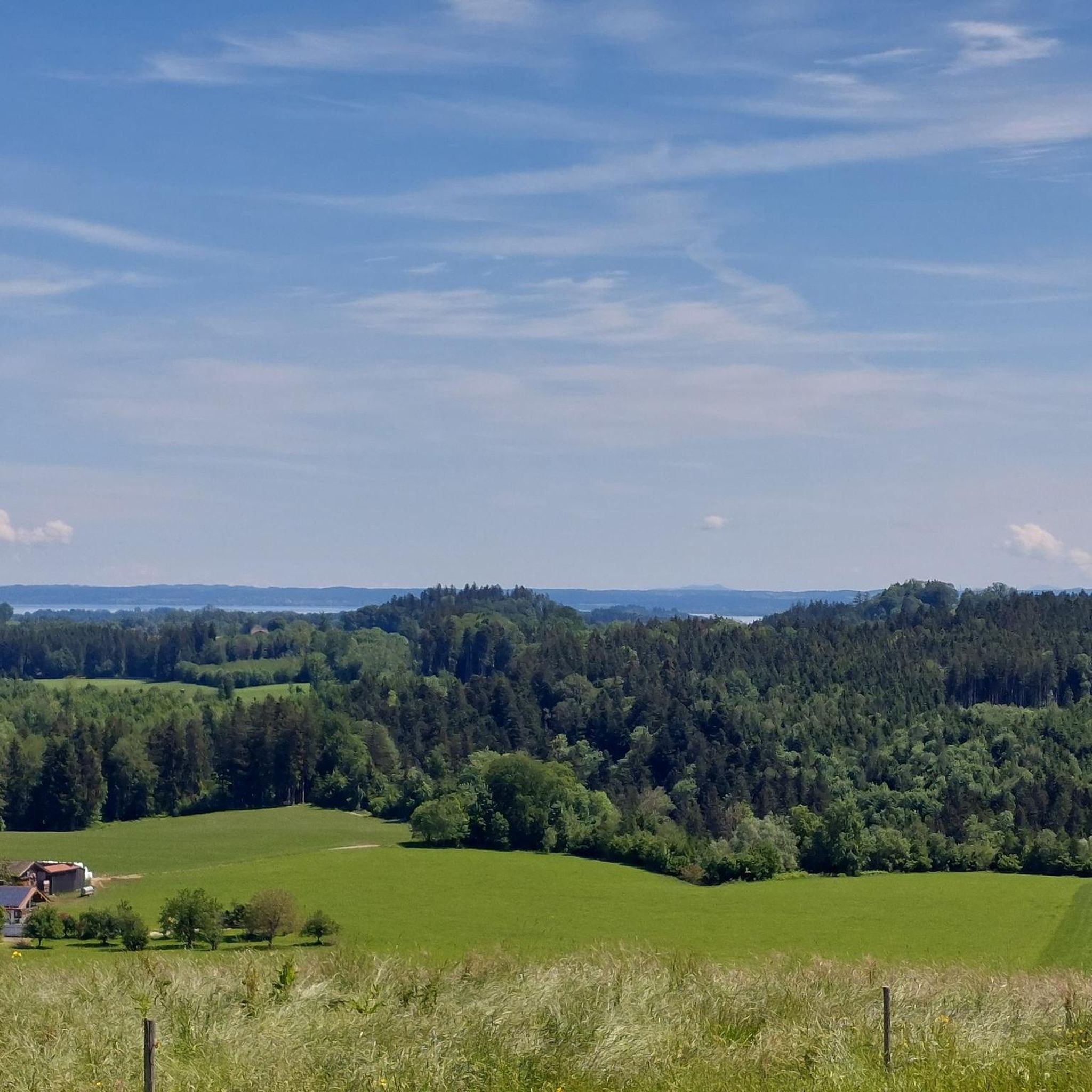
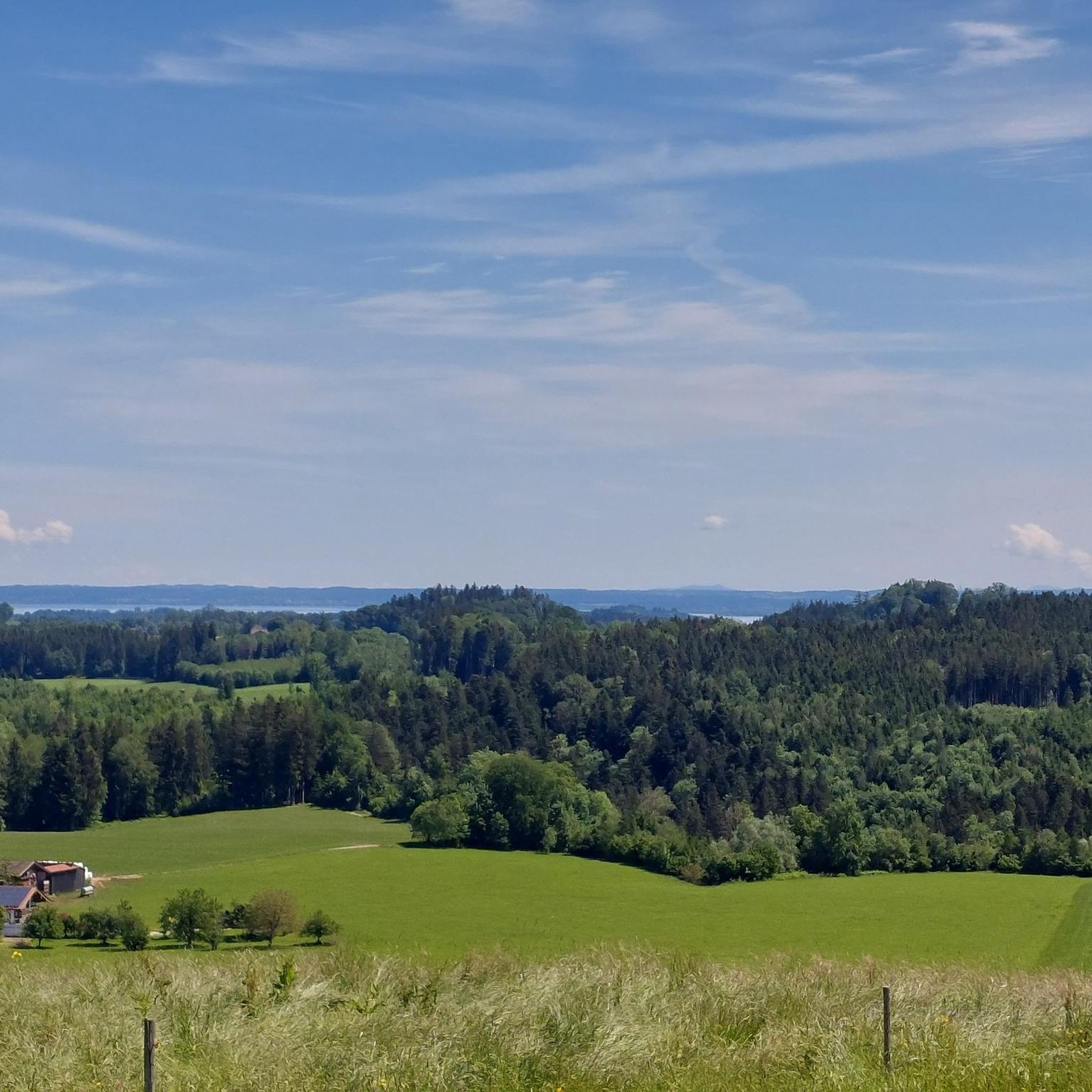
From here you have a wonderful view of the Hochplatte, among other places.
0
0
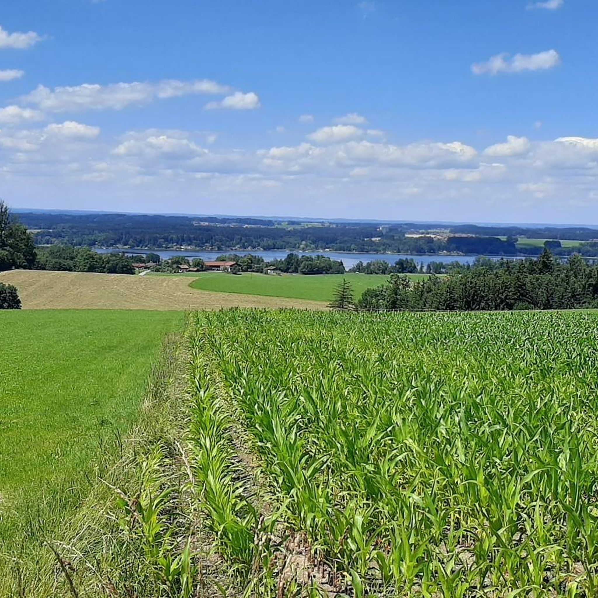
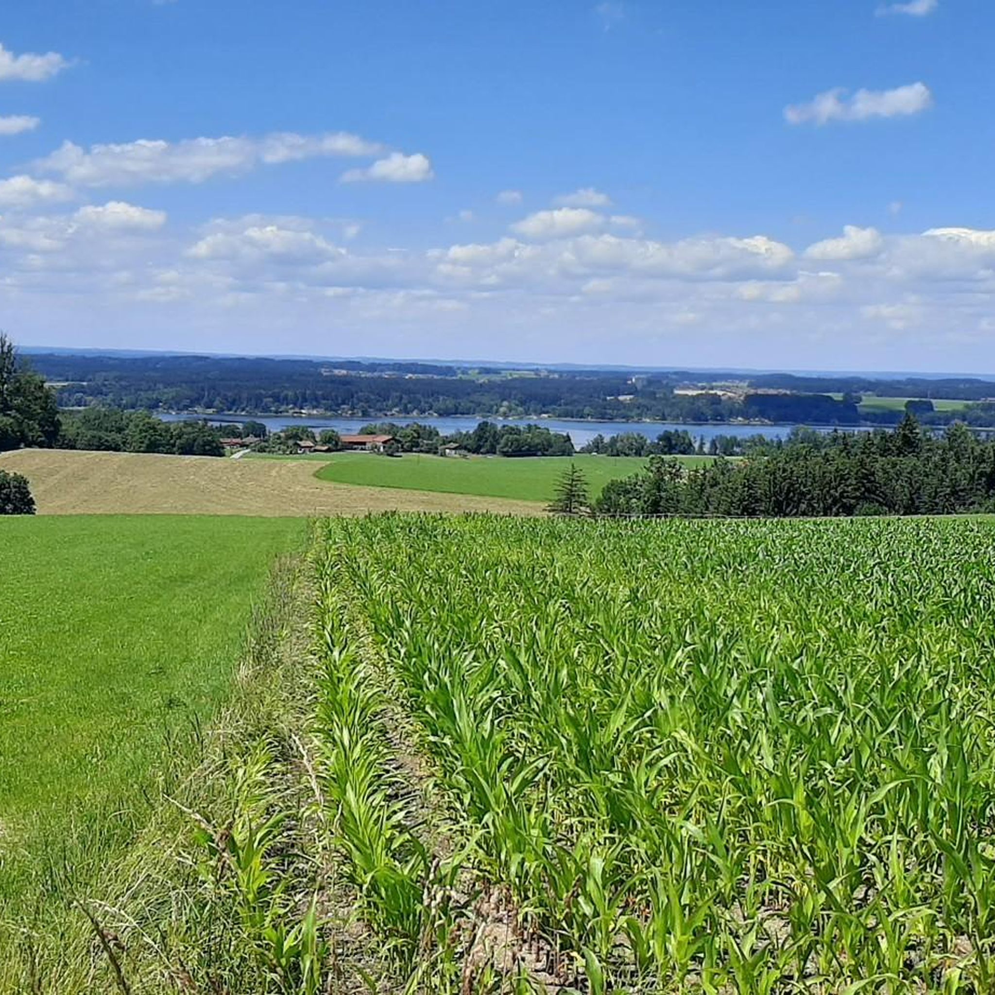
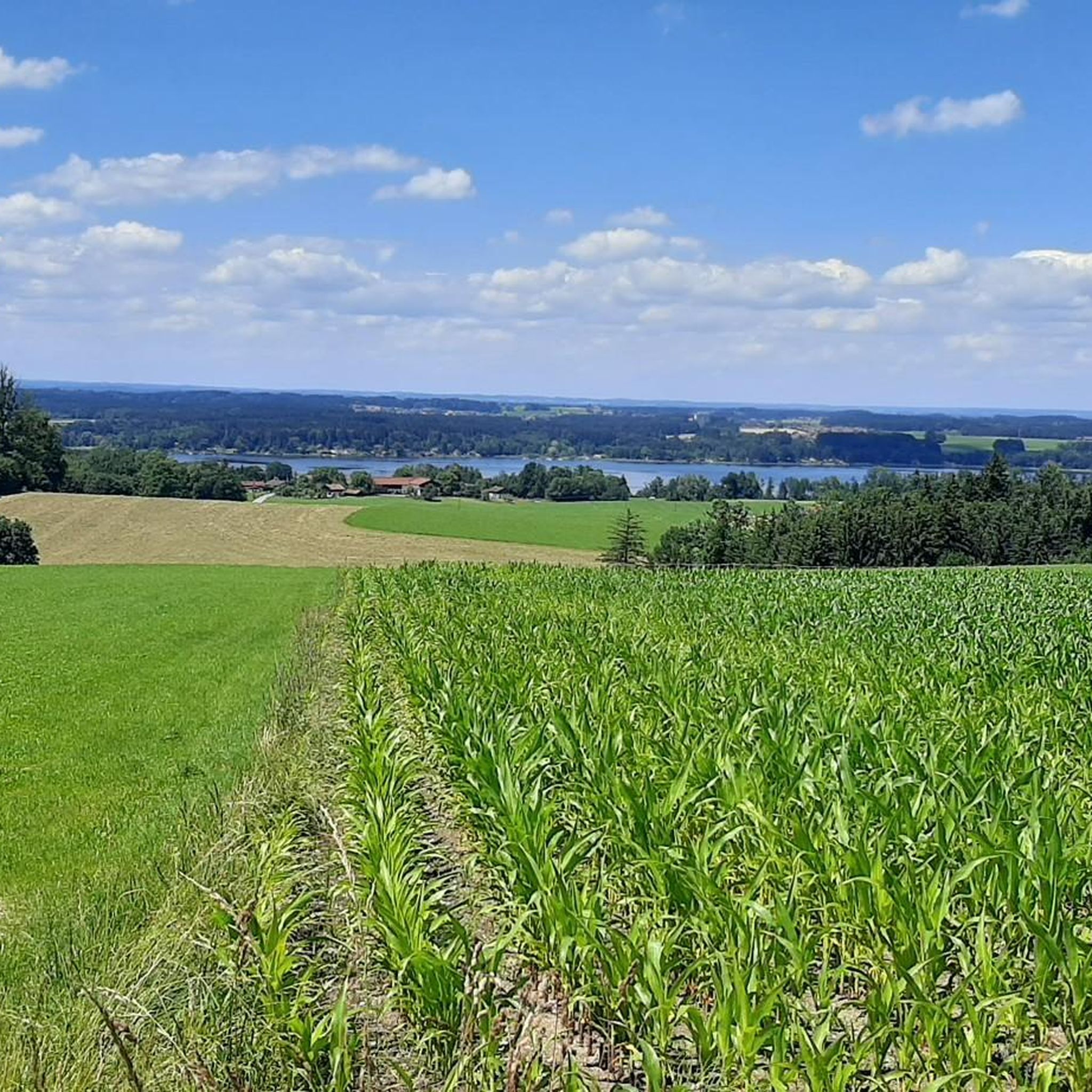
A wonderful, unobstructed view of Lake Sims.
0
0

Lake Walchsee, at the foot of the imposing Kaiser Mountains, is not only one of the most beautiful but also one of the warmest lakes in Tyrol. This makes it a popular bathing lake and a true flagship of the Kaiserwinkl region in the Tyrolean lowlands – in fact, Lake Walchsee was even immortalized with a blue wave in the village coat of arms of the municipality of the same name. The lake has many exciting and astonishing facts and stories to offer that are guaranteed to surprise you.
1
0
Lake Walchsee, at the foot of the imposing Kaiser Mountains, is not only one of the most beautiful but also one of the warmest lakes in Tyrol. This makes it a popular bathing lake and a true flagship of the Kaiserwinkl region in the Tyrolean lowlands – in fact, Lake Walchsee was even immortalized with a blue wave in the village coat of arms of the municipality of the same name. The lake has many exciting and astonishing facts and stories to offer that are guaranteed to surprise you.
1
0


From here, you'll have a beautiful first glimpse of Lake Walsch and can get a taste of the cool water. You can also enjoy many sports on and around the lake. In the villages, there are lidos, restaurants, beer gardens, and accommodations.
3
0

Rest to cool down
0
1
Frequently Asked Questions
What kind of terrain can I expect on gravel bike trails around Riedering?
Gravel biking around Riedering offers a diverse mix of terrain. You'll encounter rolling hills, expansive green meadows, and dense forests, with routes often combining paved roads with unpaved sections. The region's topography, nestled between the Chiemgau Alps and Lake Simssee, provides a dynamic riding experience suitable for gravel bikes.
Are there gravel bike routes suitable for beginners or families in Riedering?
While many routes around Riedering are rated moderate to difficult due to significant elevation changes, the region also offers options for varying ability levels. For instance, the Simssee region features a roughly 40-kilometer cycling and hiking route, divisible into five rounds, which can be combined flexibly and includes sections suitable for a more relaxed pace. The Neubeurer Lake – View of the Inn River loop from Thansau is a moderate route with less elevation gain.
What natural attractions or viewpoints can I discover along the gravel bike trails?
Riedering's gravel trails offer access to stunning natural features. You can enjoy breathtaking views of Lake Simssee and the surrounding mountains, especially along the Panoramaweg. The nearby Mangfalltal features numerous waterfalls and gorges. For specific viewpoints, consider the View over Lake Chiemsee and the Chiemgau Alps or the Chiemsee view near Aiterbach. The View of Kampenwand – Simssee Observation Tower loop from Riedering also offers scenic vistas.
What is the best time of year for gravel biking in Riedering?
The region is particularly vibrant in spring, with blooming meadows and clear views. Summer offers warm weather for exploring the lakes, while autumn brings beautiful foliage. While winter gravel biking is possible, be mindful of trail conditions, especially at higher elevations or after snowfall.
Are there any circular gravel bike routes available?
Yes, many gravel bike routes in Riedering are designed as loops, allowing you to start and end at the same point. Examples include the Innleiten Path – Gut Innleiten loop from Thansau and the View of the Inn Valley – Inn Valley Panorama loop from Thansau. The Simssee region also offers a 40 km route that can be divided into flexible circular sections.
Can I bring my dog on the gravel bike trails in Riedering?
Many trails in the Riedering area are suitable for cycling with dogs, especially those through meadows and forests. However, it's always advisable to check local regulations for specific nature reserves or protected areas, such as the nature reserve on the southern shore of Simssee, where dogs might need to be on a leash or have restricted access.
Where can I find parking for gravel biking routes in Riedering?
Parking is generally available at common starting points for cycling routes in and around Riedering. For routes starting from Thansau, you'll typically find designated parking areas. For routes around Simssee, look for parking near popular access points or bathing areas like Ecking. Specific parking information is often detailed on individual route pages.
Are there cafes or restaurants near the gravel bike trails?
Yes, the Riedering area, especially around the lakes like Simssee and Chiemsee, has various cafes and restaurants where you can refuel. The Simssee region's cycling and hiking route, for instance, has 11 stations, many of which are likely to be near refreshment stops. You'll find options in villages and towns along the routes.
What do other gravel bikers enjoy most about Riedering?
The komoot community highly rates gravel biking in Riedering, with an average score of 4.5 stars from over 1,300 reviews. Riders often praise the diverse landscapes, the mix of paved and unpaved sections, and the scenic views of lakes and mountains. The variety of routes, from moderate to challenging, is also a frequently highlighted aspect.
How long are the gravel bike routes around Riedering?
The routes vary significantly in length. For example, the View of Kampenwand – Simssee Observation Tower loop from Riedering is about 36.8 km (22.9 miles) and takes under 3 hours, while the View of Walchsee – Walchsee South Shore loop from Thansau is a more extensive 91.4 km (56.8 miles) route, requiring a full day of riding.
Can I use public transport to access gravel biking routes with my bike?
Public transport options in the Rosenheim district, including buses and regional trains, often allow bikes, though restrictions may apply during peak hours or for larger groups. It's recommended to check the specific transport provider's website for their current bike carriage policies and any associated fees before planning your trip.
Most popular routes around Riedering
Most popular attractions around Riedering

Get inspired with the komoot mobile app


Explore more
Browse the best Gravel rides in other regions.
