The best gravel rides around Belm
4.3
(331)
1,168
riders
90
rides
Gravel biking around Belm offers a diverse landscape characterized by rolling hills, expansive meadows, and quaint villages. The region features well-maintained cycle paths that often include mixed asphalt and dirt sections, ideal for gravel cycling. Routes extend into the northern Osnabrück Hills, revealing ancient rock layers and traces of Ice Age glaciers. This geographical variety provides a scenic backdrop for outdoor activities away from heavy traffic.
Best gravel bike trails around Belm
- The most popular gravel bike trail is From…
Last updated: July 2, 2026
2
riders
55.6km
03:56
430m
410m
Moderate gravel ride. Good fitness required. Some segments of this route may be unpaved and difficult to ride.
4.7
(16)
50
riders
59.8km
03:50
300m
300m
Moderate gravel ride. Good fitness required. Mostly paved surfaces. Suitable for all skill levels.

Sign up for free
4.4
(5)
49
riders
Hard gravel ride. Very good fitness required. You may need to push your bike for some segments of this route.
4.1
(24)
91
riders
Moderate gravel ride. Good fitness required. Mostly paved surfaces. Suitable for all skill levels.
4.4
(24)
80
riders
Easy gravel ride. Great for any fitness level. Mostly paved surfaces. Suitable for all skill levels.
Get access to more routes and recommendations from other explorers.
Sign up for free
Already have an account?
Our route recommendations are based on thousands of hikes, rides, and runs completed by other people on komoot.
Start today with a free account
Your next adventure awaits.
Login or Signup
Popular around Belm
Other adventures around Belm


Tips from the Community

The east side is better than the west side.
0
0

There are many benches along the Mittellandkanal as resting places.
0
0
Easy-to-ride cycle path
0
0

The Mittelland Canal (MLK) is a federal waterway[2] and, at 325.3 kilometers, the longest artificial waterway in Germany. Including side and connecting canals, the length is 392 km. It connects the Dortmund-Ems Canal with the Weser, the Elbe, and the Elbe-Havel Canal. In a broader sense, it is part of a connection between the Rhine and the Oder. In the west, the connection to the Rhine is established via the Dortmund-Ems Canal and the Rhine-Herne Canal or the Wesel-Datteln Canal. In the east, the Elbe-Havel Canal, the Untere Havel-Wasserstraße, and the Havel-Oder-Wasserstraße connect the Mittelland Canal with the Oder. In a European dimension, it enables a connection between the Netherlands, Belgium, Luxembourg, France, and Switzerland on the one hand, and Poland and the Czech Republic on the other. The canal is also known by the names Ems-Weser-Kanal, Weser-Ems-Kanal, Weser-Elbe-Kanal, Rhein-Elbe-Kanal, Elbe-Weser-Ems-Kanal, or Ems-Weser-Elbe-Kanal. These are old or regional designations that are now rarely used.
0
0

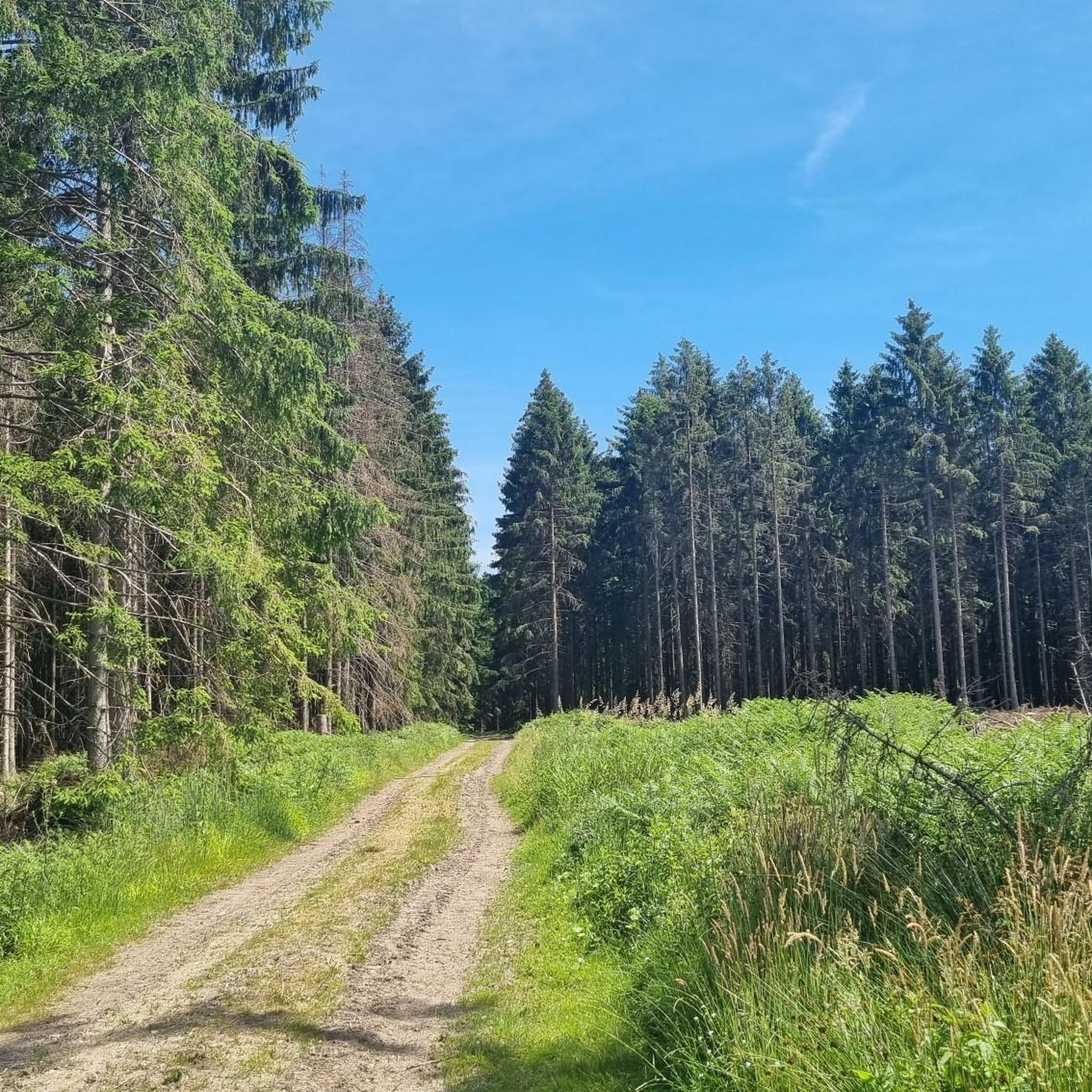
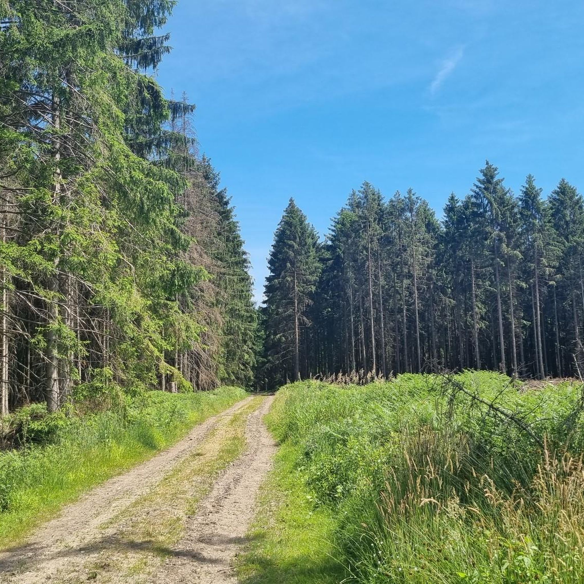
Here, almost all of the forest paths are open to bicycles and are also easy to cycle on.
0
0

Here you cross the Mittelland Canal. If you have time, you can observe many ships here.
4
0
In Eversburg, the old Roman Bridge crosses the Alte Hase River as a road bridge. A new bridge for the bicycle path has been built next to it.
2
0
A beautiful bridge to cross the Hase.
3
0
Frequently Asked Questions
What kind of terrain can I expect on gravel bike trails in Belm?
Gravel biking around Belm offers a diverse landscape characterized by rolling hills, expansive meadows, and quaint villages. You'll find well-maintained cycle paths that often include mixed asphalt and dirt sections. Routes extend into the northern Osnabrück Hills, revealing ancient rock layers and traces of Ice Age glaciers, providing a scenic backdrop away from heavy traffic.
Are there gravel routes suitable for beginners in Belm?
Yes, Belm offers a good selection of routes for beginners. Out of over 150 gravel trails, 39 are rated as easy. These typically feature gentler gradients and well-maintained paths, perfect for those new to gravel biking or looking for a relaxed ride.
What are some notable natural features or landmarks I can see along gravel routes in Belm?
Many gravel routes in Belm pass by beautiful natural features and points of interest. You might encounter the scenic Hasetal, or explore areas like the Belm Forest. For panoramic views, consider routes that lead towards the Dörenberg or Haseschleife, offering vistas of the Osnabrück region and the distant Teutoburg Forest.
When is the best time of year for gravel biking in Belm?
The best seasons for gravel biking in Belm are spring and autumn. During these times, temperatures are mild, and nature displays its full splendor with colorful fields and green meadows, making for a particularly picturesque ride. While possible, winter conditions can vary, so checking local weather is always recommended.
Are there any circular gravel bike routes in Belm?
Yes, Belm offers several excellent circular gravel routes. A popular option is the Schledehausen Village Center – Oldendorf Trail loop from Wissingen, which is a moderate 25.7-mile path exploring village centers and trails. Another is the Forest path through Heger Holz – West shore of Rubbenbruchsee loop from Darum-Gretesch-Lüstringen, a 34.3-mile trail through forests and along the lake.
What do other gravel bikers enjoy most about the trails in Belm?
The gravel biking routes in Belm are highly rated by the komoot community, with an average score of 4.3 stars from over 300 reviews. Riders often praise the diverse landscape, which includes rolling hills, expansive meadows, and the mix of asphalt and dirt sections. The opportunity to experience nature away from heavy traffic is also frequently highlighted.
Are there any challenging gravel bike routes near Belm for experienced riders?
Yes, for experienced riders seeking a challenge, Belm offers 52 routes rated as difficult. These routes often venture deeper into the Osnabrück Hills, featuring more significant elevation changes and potentially more technical sections. An example is the Forest path through Heger Holz – West shore of Rubbenbruchsee loop from Darum-Gretesch-Lüstringen, which is rated difficult.
Can I find routes that pass by lakes or water features in Belm?
Absolutely. The Forest path through Heger Holz – West shore of Rubbenbruchsee loop from Darum-Gretesch-Lüstringen leads along the beautiful Rubbenbruchsee Lake, which is also a popular spot for recreation. Additionally, the View of the River Hase – Bridge Over the Stichkanal loop from Powe offers views of the River Hase.
Are there any routes that offer historical or geological insights?
Yes, some routes around Belm delve into the region's geological history. You can find trails that lead into the northern Osnabrück Hills, where ancient rock layers and traces of Ice Age glaciers can be observed. The Kalkriese-Evinghausen area also offers routes with both natural beauty and cultural insights, including ascending Kalkriese Mountain.
How long do gravel bike trails in Belm typically take to complete?
The duration of gravel bike trails in Belm varies significantly depending on the route's length and difficulty. For example, the From Wissingen to Dissen through the Osnabrück countryside trail, at 34.6 miles, typically takes around 3 hours 56 minutes. Shorter, easier routes like the View of the River Hase – Bridge Over the Stichkanal loop from Powe (17.4 miles) can be completed in about 1 hour 48 minutes.
Are there any huts or places to stop for a break along the gravel routes?
Yes, the region around Belm has several huts that can serve as resting spots. You might find places like the Goethe Hut or the Naturfreundehaus Vehrte. These can be good points for a break or to refuel during your ride.
Most popular routes around Belm
Most popular attractions around Belm

Get inspired with the komoot mobile app


Explore more
Browse the best Gravel rides in other regions.
