The best gravel rides around Diensdorf-Radlow
5.0
(2)
16
riders
2
rides
Gravel biking around Diensdorf-Radlow offers routes through a landscape characterized by numerous lakes and waterways, including the prominent Scharmützelsee. The terrain generally features gentle elevation changes, with rolling hills and highest points remaining below 200 meters. Riders can expect a mix of lakeside paths and routes that traverse forested areas and meadows, providing varied surfaces suitable for gravel bikes. This region is ideal for exploring natural features and offers diverse Diensdorf-Radlow gravel bike terrain details.
Best gravel bike trails around…
Last updated: July 2, 2026
9
riders
64.6km
03:56
290m
290m
Hard gravel ride. Good fitness required. You may need to push your bike for some segments of this route.
5.0
(2)
4
riders
45.3km
02:54
170m
170m
Moderate gravel ride. Good fitness required. Mostly paved surfaces. Suitable for all skill levels.

Sign up for free
3
riders
26.8km
01:40
70m
70m
Hard gravel ride. Great for any fitness level. You may need to push your bike for some segments of this route.
Our route recommendations are based on thousands of hikes, rides, and runs completed by other people on komoot.
Start today with a free account
Your next adventure awaits.
Login or Signup
Tips from the Community

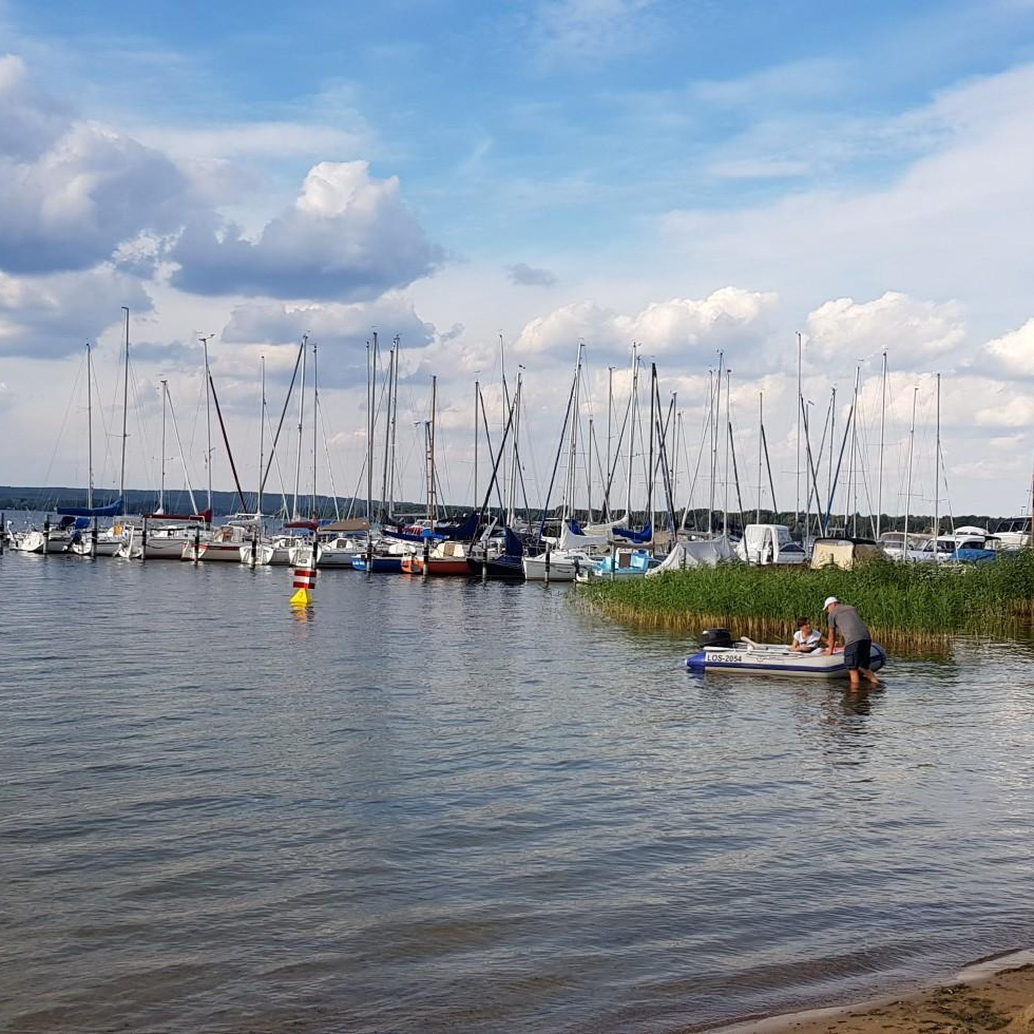
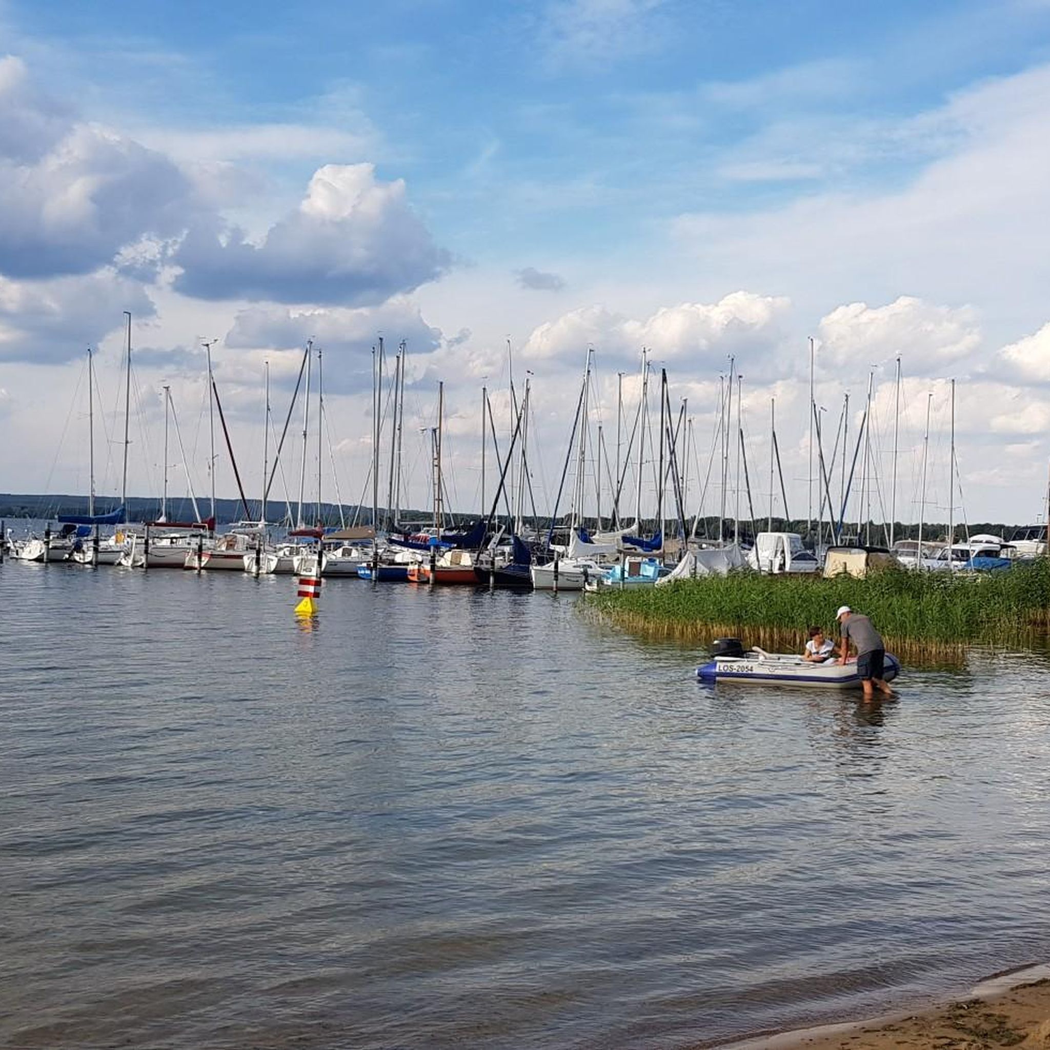
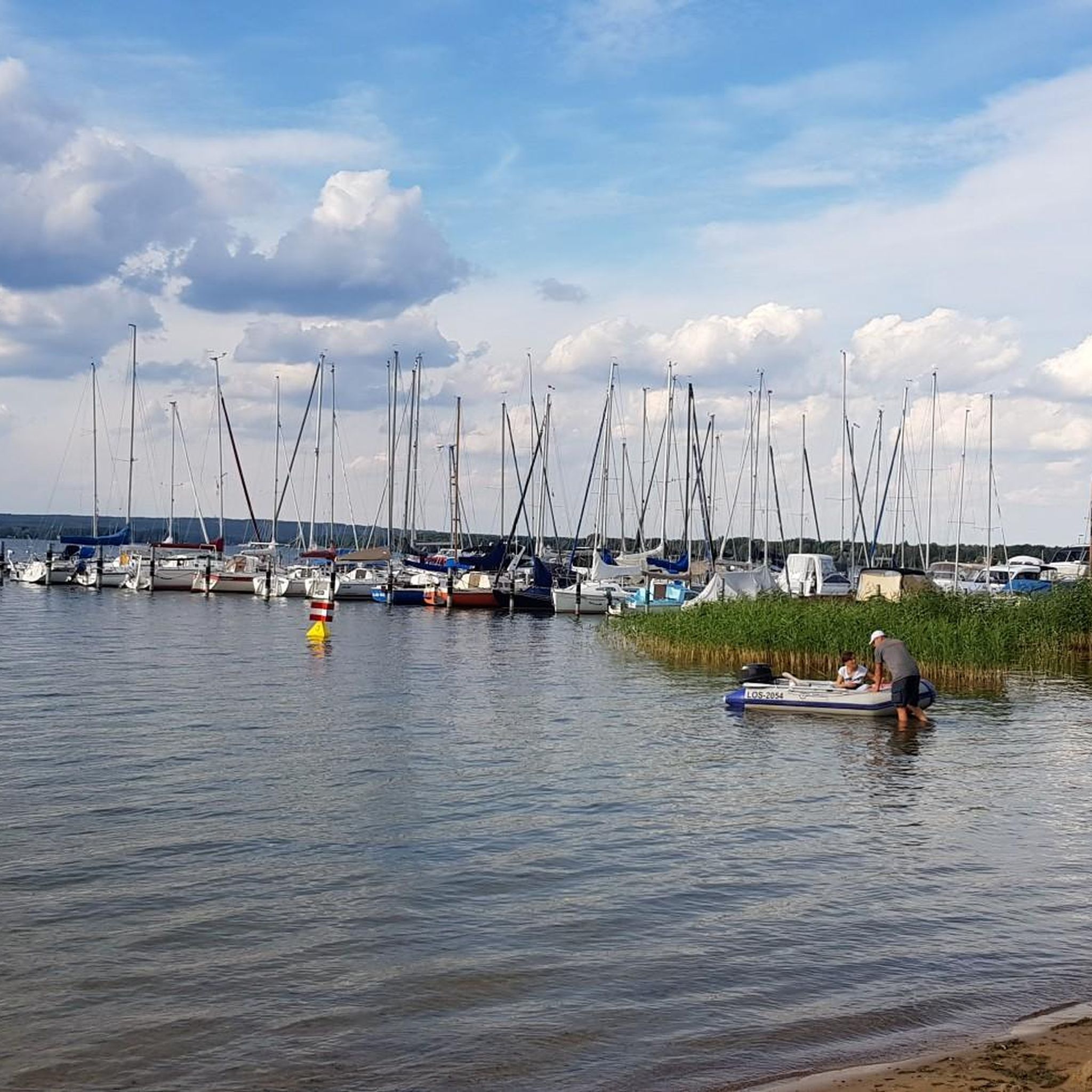
A nice little harbor, which is at least mostly more sheltered from the wind.
0
0

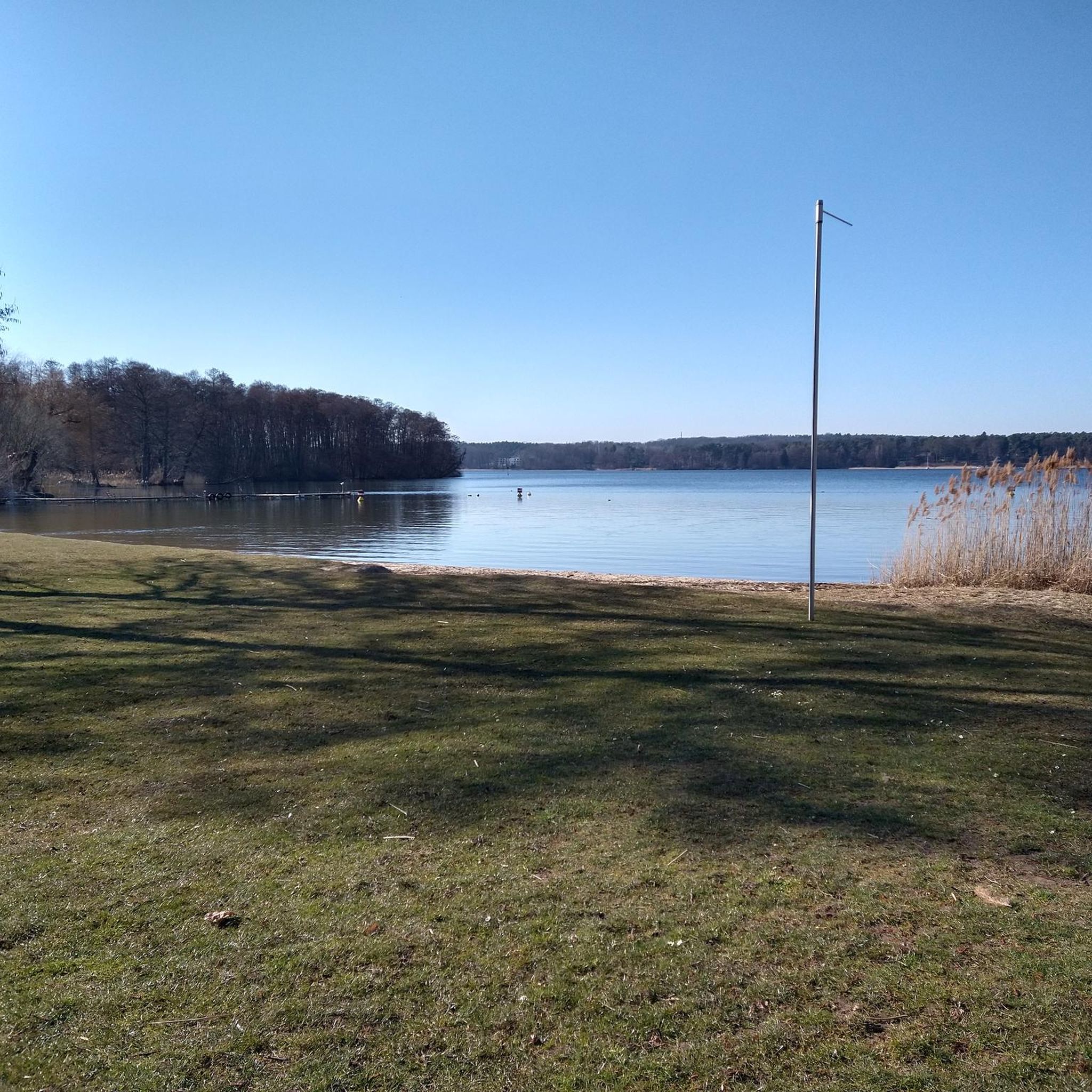
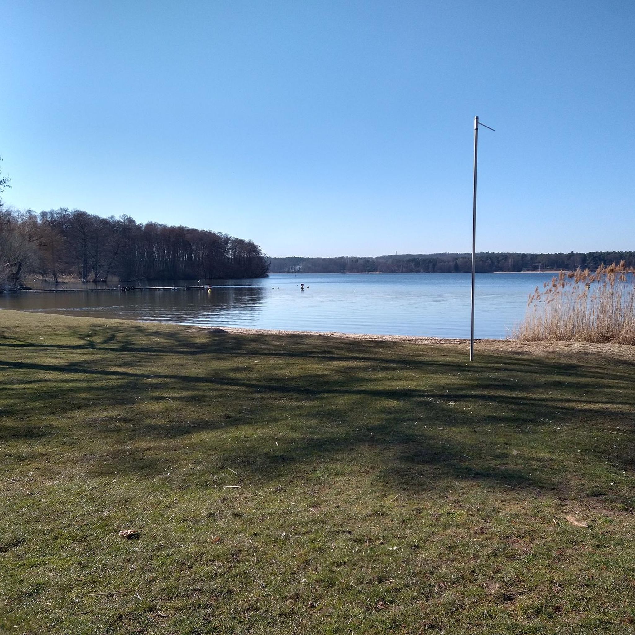
A great lake for swimming. Very clear water. The bike path along the western shore is mostly well-paved.
0
0

Beautiful view over the lake. However, access isn't so easy.
0
0

If you turn off the Gurkenradweg (cucumber cycle path), you'll find a place beyond the village that needs no spectacle: a bench with a roof, a bit of moss, a glassy Spree River, sometimes with swans on it. The Pretschen Spree Pond isn't a destination in the traditional sense—it's simply a good place to slow down. There's a gentle chirping here, the willows hang low, and if you're lucky, you might even see the church tower in the background. A rest stop that seems out of time—just right for a banana, a sandwich, and a moment to yourself.
0
0
This simple yet charming pedestrian bridge marks one of the most beautiful crossings of the Spree south of Neuendorf am See – a place that doesn't impose itself loudly, but quietly seduces. Ideal for hikers seeking the water and for paddlers who trust the river's flow. For hikers: The bridge is a hub on regional walking and hiking trails – those coming from the center of Neuendorf will encounter an almost meditative scenery: reflective water, wide meadows, gently rustling willows. Particularly rewarding at sunrise or in the evening hours, when the sky and landscape merge into one. For canoeists: From a kayak, the bridge appears almost sculptural. It spans the Spree with a gentle sweep, signaling: Here the river flows gently, but not without depth. A good opportunity for a rest, as there are shallow spots along the bank for landing. If you like, you can dock briefly and climb the few steps up to the bridge – the view is worth it.
0
0

There are numerous public bathing areas on Scharmützelsee, Storkower See and other forest lakes that invite you to swim, row or sail. If you are active in the summer, you should pack your bathing suit, as you can take a refreshing dip at all accessible places, and for fun regardless of the weather, the Schwapp leisure pool and the SaarowTherme offer relaxation and well-being.
2
0

The lock, which has existed since 1865, was renovated in 1965 with concrete chamber walls and automated in 2004. The lock is activated using the request levers at the waiting points in the respective outer harbor. During operation in the summer months, up to 10,000 pleasure boats are on the move here. It is one of three locks that must be overcome on the way from Berlin to Scharmützelsee.
14
0

The canal developed from the Storkower Flößerkanal, which was built in 1732 and expanded into a canal under the reign of Frederick II in the middle of the 18th century. Used for centuries to supply Berlin with timber and bricks, its current transport importance lies largely in the leisure and tourism industry. As a rule, it is only used by passenger ships, pleasure boats and for water hiking.
0
0
Frequently Asked Questions
What kind of terrain can I expect on gravel bike trails around Diensdorf-Radlow?
The region around Diensdorf-Radlow is characterized by numerous lakes and waterways, including Lake Scharmützelsee and the Spree river. You'll find a mix of lakeside paths and routes traversing forested areas. The terrain generally features gentle elevation changes, with rolling hills rather than mountains, making for varied surfaces suitable for gravel bikes.
Are there any beginner-friendly gravel bike routes in the area?
While many routes offer sections suitable for beginners, the listed tours tend to lean towards moderate or difficult classifications due to their length and varied surfaces. For a good introduction, consider routes that stick closer to the main lake paths, which often have smoother sections. The region's gentle elevation changes are generally forgiving for those new to gravel biking.
Are there any longer, more challenging gravel bike routes for experienced riders?
Yes, for experienced riders looking for a challenge, there are several longer and more demanding routes. The Lake Scharmützelsee – Great Glubig Lake loop from Bad Saarow is a difficult 50.5-mile (81.2 km) trail that features extensive lakeside riding and forest sections. Another difficult option is the Great Glubig Lake – Lake Scharmützelsee loop from Bad Saarow, covering 40.1 miles (64.5 km) through interconnected lakes.
Can I find loop routes for gravel biking in Diensdorf-Radlow?
Absolutely, most of the popular gravel bike routes in the Diensdorf-Radlow area are designed as loops, allowing you to start and finish at the same point. Examples include the Scharmützelsee Lakeside Path – Springsee loop from Wendisch-Rietz and the Briescht Drawbridge – Bridge over the Spree loop from Limsdorf.
What are some scenic highlights or viewpoints along the gravel bike trails?
The primary scenic highlights revolve around the numerous lakes and the Spree river. You'll enjoy extensive lakeside views, particularly around Lake Scharmützelsee, and tranquil forest sections. Routes often pass by points of interest like the Wendisch Rietz Lock or the bustling Bad Saarow Harbor, offering picturesque spots to pause.
Are there any places to stop for food or drinks along the gravel routes?
Given the popularity of the lake regions, you'll find various opportunities for pub and cafe stops, especially in towns and villages situated directly on the lakeshores, such as Bad Saarow or Wendisch-Rietz. Many routes pass through or near these settlements, making it convenient to refuel.
What do other gravel bikers say about the trails in Diensdorf-Radlow?
The gravel biking routes in Diensdorf-Radlow are highly rated by the komoot community, with an average score of 4.9 stars from over 8 reviews. Reviewers often praise the diverse landscape of lakes and forests, the well-maintained paths, and the overall peaceful atmosphere for cycling.
What is the best time of year to go gravel biking in Diensdorf-Radlow?
The region is enjoyable for gravel biking throughout the warmer months, from spring to autumn, when the weather is mild and the natural scenery is at its best. Spring brings blooming nature, while autumn offers beautiful foliage. Summer is also popular, but be prepared for more visitors, especially around the lakes.
Are there any historical or cultural landmarks to explore near the gravel routes?
Yes, the area offers several interesting landmarks. You can visit the Burg Storkow Visitor Center, which is a castle, or explore other historical sites like Hubertushöhe Castle and Groß Rietz Castle. These can often be incorporated into a longer ride or visited as separate excursions.
How long do the gravel bike routes typically take to complete?
The duration of the routes varies depending on their length and your pace. For example, the Scharmützelsee Lakeside Path – Springsee loop from Wendisch-Rietz, at 30.0 miles (48.3 km), typically takes around 3 hours 20 minutes. Longer routes, like the 50.5-mile (81.2 km) Lake Scharmützelsee – Great Glubig Lake loop from Bad Saarow, can take over 5 hours.
Are there any shorter gravel bike options for a quick ride?
For a quicker ride, consider the Scharmützelsee Lakeside Path – Wendisch Rietz Marina loop from Limsdorf. This route is 43.1 km (26.8 miles) long and can be completed in approximately 2 hours 50 minutes, offering a good balance of distance and time for a shorter outing.
Most popular routes around Diensdorf-Radlow
Most popular attractions around Diensdorf-Radlow

Get inspired with the komoot mobile app


Explore more
Browse the best Gravel rides in other regions.
