The best gravel rides around Hohenberg-Krusemark
8
riders
3
rides
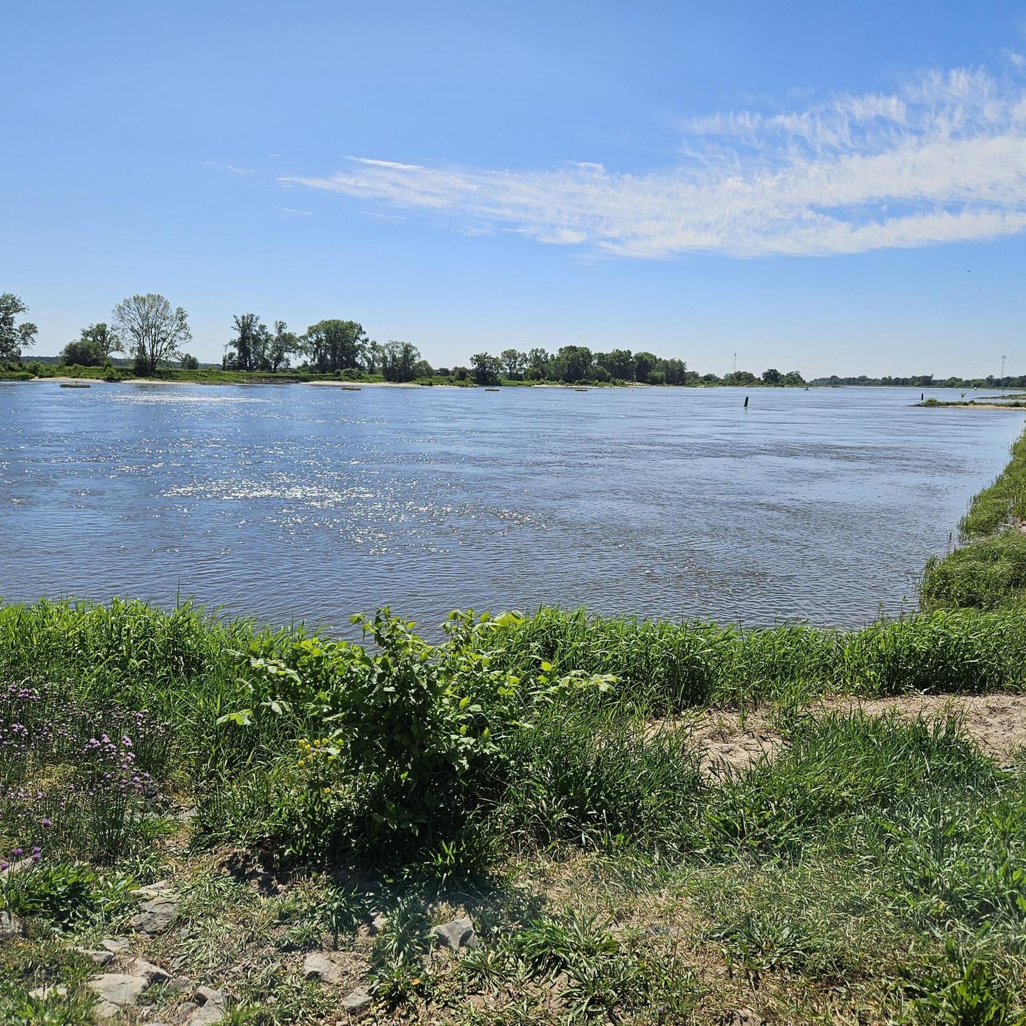
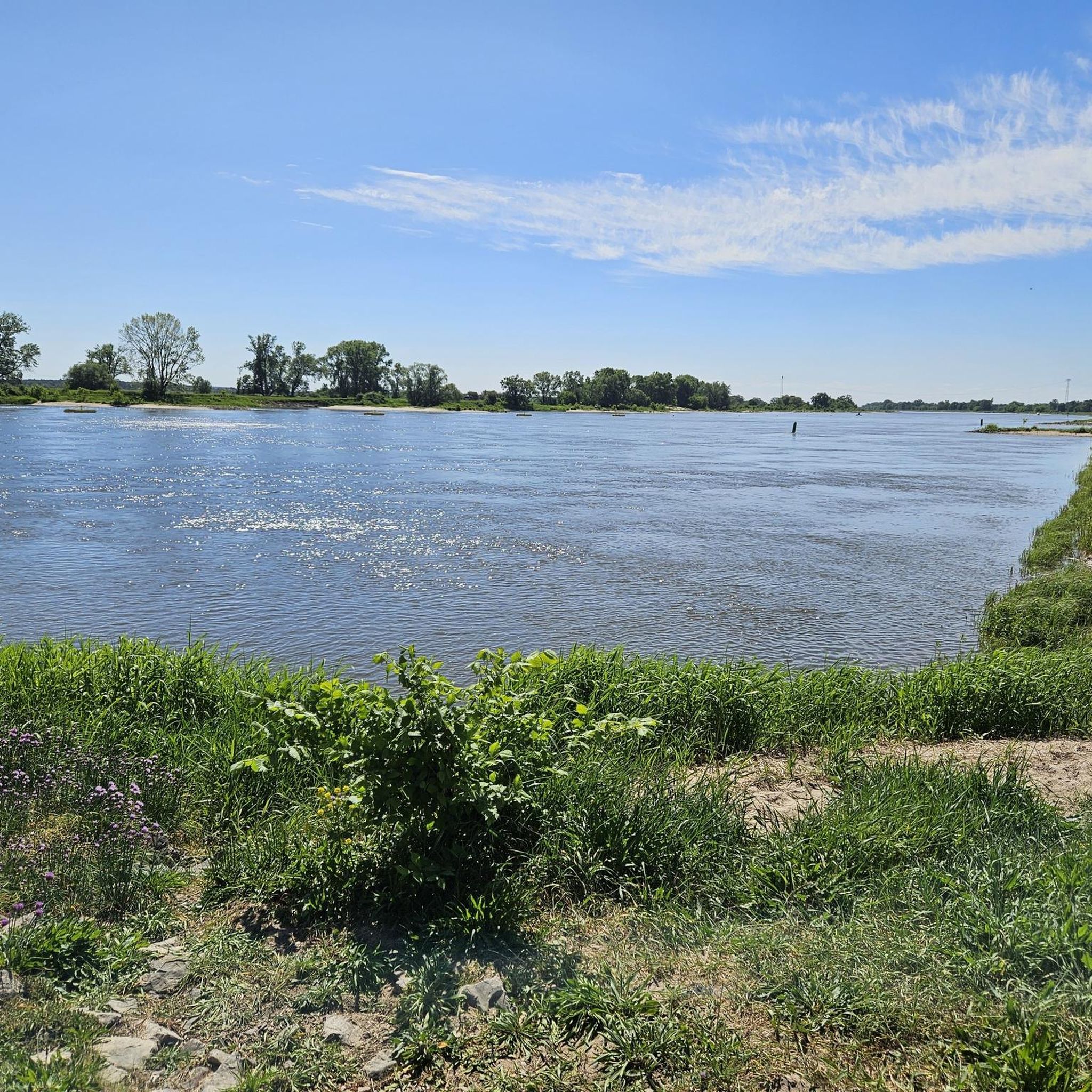
Gravel biking around Hohenberg-Krusemark is characterized by its flat to gently rolling terrain, with an average elevation of 32 meters. The region features waterside landscapes along the Elbe and Havel rivers, offering routes through open fields, agricultural areas, and occasional wooded sections. Elevation changes are minimal, making the area suitable for sustained distances on mixed-surface paths.
Best gravel bike trails around Hohenberg-Krusemark
- The most popular gravel bike trail is Tangermünde Town Hall – Neustädter Gate, Tangermünde loop from Hassel,…
Last updated: July 2, 2026
3.0
(1)
7
riders
53.8km
03:02
120m
120m
Moderate gravel ride. Good fitness required. Mostly paved surfaces. Suitable for all skill levels.
1
riders
39.8km
02:28
80m
80m
Moderate gravel ride. Good fitness required. Mostly paved surfaces. Suitable for all skill levels.

Sign up for free
1
riders
Easy gravel ride. Great for any fitness level. Mostly paved surfaces. Suitable for all skill levels.
Our route recommendations are based on thousands of hikes, rides, and runs completed by other people on komoot.
Start today with a free account
Your next adventure awaits.
Login or Signup
Other adventures around Hohenberg-Krusemark

Tips from the Community

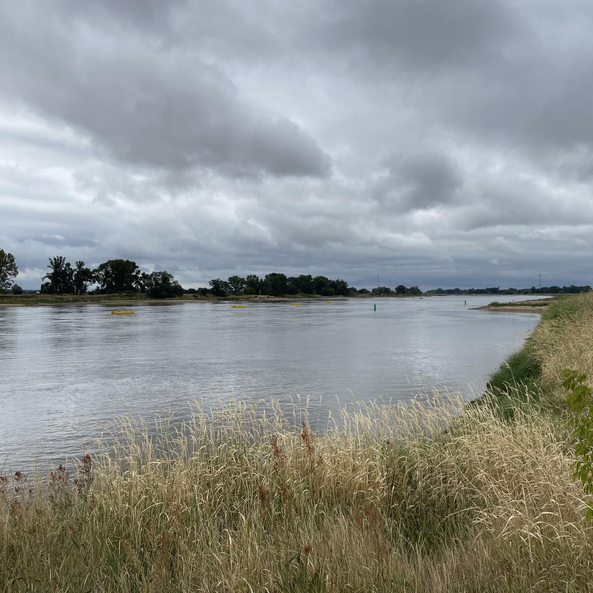
Great view of the Elbe and the mighty city walls of Tangermünde
1
0

A wonderful stretch of route! The stunning scenery and excellent cycle paths make this bike tour a truly memorable experience!
1
0

Without a doubt, one of the most interesting and unique rest stops I've ever seen on my travels. Not only does it look great, but you can also take shelter from the rain ;)
1
0

The rectangular tower was built around 1300. The round tower and central section were built around 1450 and flank a pointed-arch passageway. The round tower features a projecting battlement. The more elaborate design of the round tower, the central section, and the top of the rectangular structure corresponds to the construction period around 1450 and was probably initiated by Stephan Buxtehude, to whom the Uenglinger Gate in Stendal and the Elbe Gate in Werben are attributed. The round tower is decorated with glazed bricks arranged in spiral or zigzag patterns, a molded stone frieze depicting the head of Medusa, and varied blind decorations. The plaster blinds above the gate passage bear coats of arms painted in 1897: Prussian Eagle, Imperial Eagle with the applied Hohenzollern Shield, Tangermünde Eagle, Eagle of the Holy Roman Empire of the German Nation, Brandenburg Eagle. Source: Wikipedia
8
1

A very teasing resting place
2
0

Pleasant resting place, which fits in very well with the landscape with its rustic wood.
0
0

It's always lovely to cycle along the Elbe.
0
0

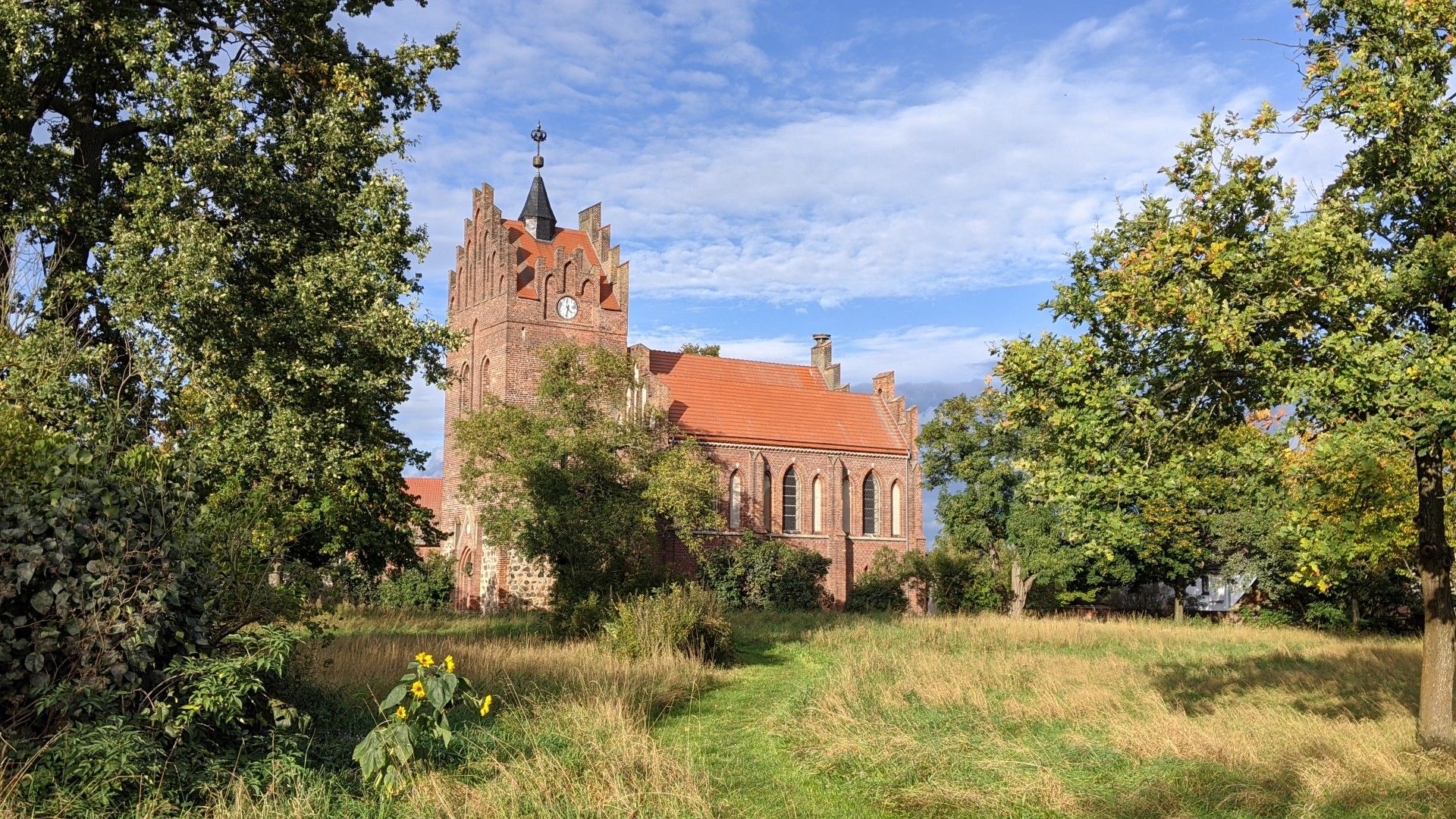
Brick church, core from the 13th century. Rebuilt after a fire in 1816-1819. Square west tower from the end of the 19th century
0
0
Frequently Asked Questions
How many gravel bike trails are available in Hohenberg-Krusemark?
There are 6 gravel bike trails around Hohenberg-Krusemark, offering a range of options for different skill levels. The majority are moderate, with one easy route suitable for beginners.
Are there any easy gravel bike routes suitable for beginners or families?
Yes, for beginners or families looking for an easier ride, the Schönfeld Rest Area – Junction 37 (Junction Point 37) loop from Kamern is an excellent choice. This 15 km (9.3 miles) trail is rated easy and leads through open countryside, typically taking less than an hour to complete.
What is the best time of year for gravel biking in Hohenberg-Krusemark?
The region's flat to gently rolling terrain, often following river floodplains, makes it enjoyable for gravel biking throughout much of the year. Spring and autumn offer pleasant temperatures and scenic views, while summer is also suitable, especially around the lakes. Winter rides are possible, but conditions may vary, so checking local weather is always recommended.
Are there any gravel bike routes that form a loop?
Many of the gravel bike routes in Hohenberg-Krusemark are designed as loops, allowing you to start and finish at the same point. For example, the popular Tangermünde Town Hall – Neustädter Gate, Tangermünde loop from Wischer and the scenic View of Kamern Lake – View of the Havel Floodplains loop from Kamern are both circular routes.
What kind of scenery can I expect along the gravel bike trails?
The gravel bike trails in Hohenberg-Krusemark offer diverse scenery, characterized by river floodplains, tranquil lakes, and open agricultural landscapes. You'll often find yourself riding alongside the Elbe and Havel rivers, with views of historic towns like Tangermünde and natural beauty around Kamern Lake.
Are there any interesting landmarks or attractions to see along the routes?
Yes, several routes pass by or near notable attractions. You might encounter the historic Havelberg Old Town and Cathedral, the Elbe Gate in Werben, or the unique Räbel Reaction Ferry. The region also features beautiful lakes like Kiessee Wischer and Lake Kamern, offering scenic stops.
What is the typical length and duration of gravel bike routes in this area?
The gravel bike routes around Hohenberg-Krusemark vary in length, generally ranging from 15 km (9.3 miles) to over 54 km (33.7 miles). Depending on your pace, these routes can take anywhere from under an hour for shorter trails to nearly four hours for longer, more extensive loops.
What do other gravel bikers say about the trails in Hohenberg-Krusemark?
The gravel bike trails in Hohenberg-Krusemark are highly rated by the komoot community, with an average score of 5.0 stars from reviewers. Users often praise the quiet, scenic routes along river floodplains and around lakes, highlighting the enjoyable experience of exploring the region's open countryside.
Are there any options for advanced gravel bikers looking for a challenge?
While the region is generally characterized by flat to gently rolling terrain, offering mostly easy to moderate routes, advanced riders can combine multiple routes or extend existing ones to create longer, more challenging distances. The Uenglinger Tor Stendal – Elbe floodplains near Tangermünde loop from Hassel, at over 41 km, offers a good distance for those seeking a longer ride.
Is public transport available to access the gravel bike trails?
Hohenberg-Krusemark and surrounding towns have some public transport connections, primarily bus services. However, direct access to all trailheads via public transport might be limited. It's advisable to check local bus schedules and routes in advance, especially if you plan to rely on public transport to reach specific starting points.
Where can I find parking for gravel biking in Hohenberg-Krusemark?
Parking is generally available in the towns and villages near the trailheads, such as Wischer, Kamern, and Hassel. Look for designated parking areas or public spaces where you can safely leave your vehicle while you enjoy your ride. Specific parking information can often be found on the individual route pages on komoot.
Most popular routes around Hohenberg-Krusemark
Most popular attractions around Hohenberg-Krusemark

Get inspired with the komoot mobile app


Explore more
Browse the best Gravel rides in other regions.
