The best gravel rides around Oberstadt
4.4
(16)
59
riders
24
rides
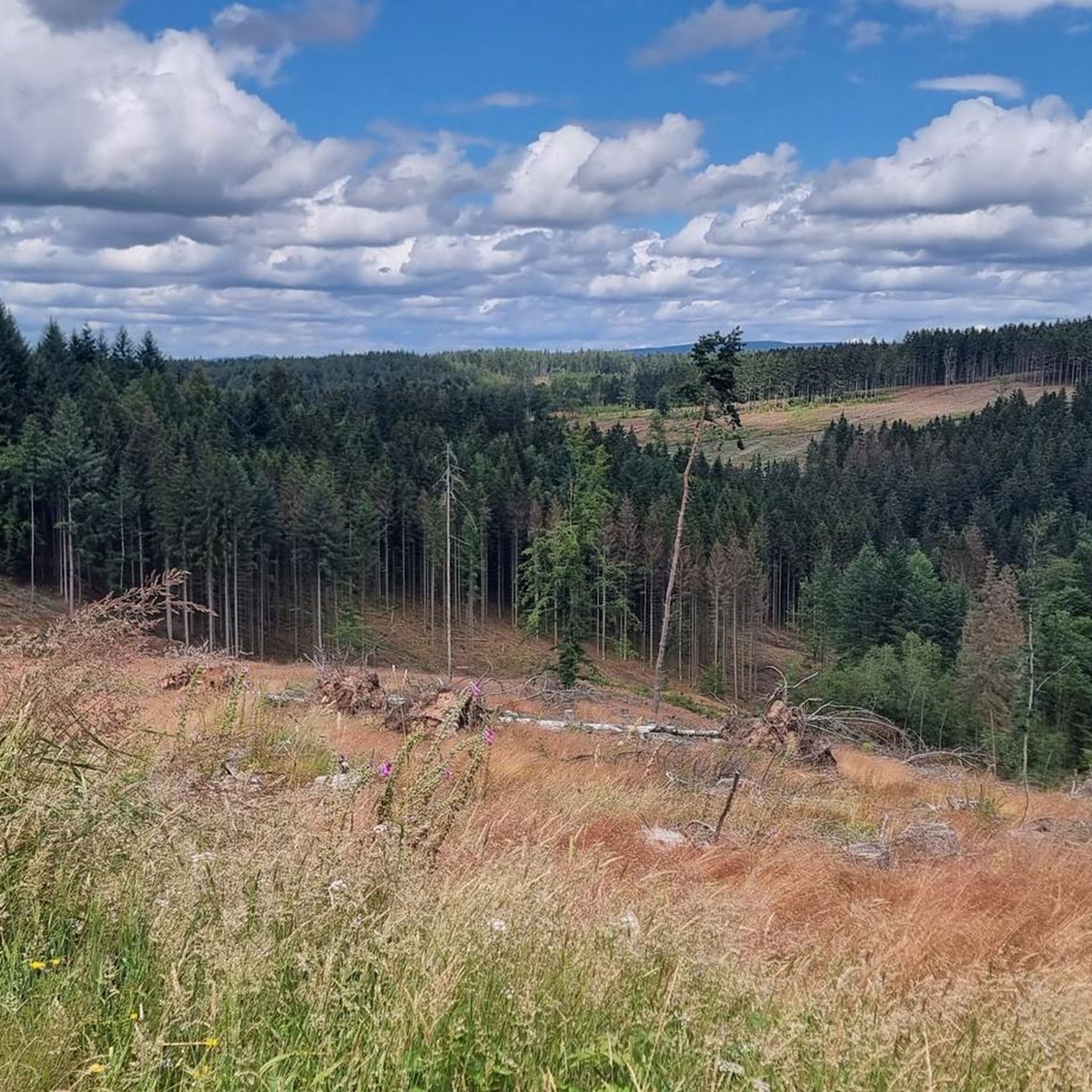
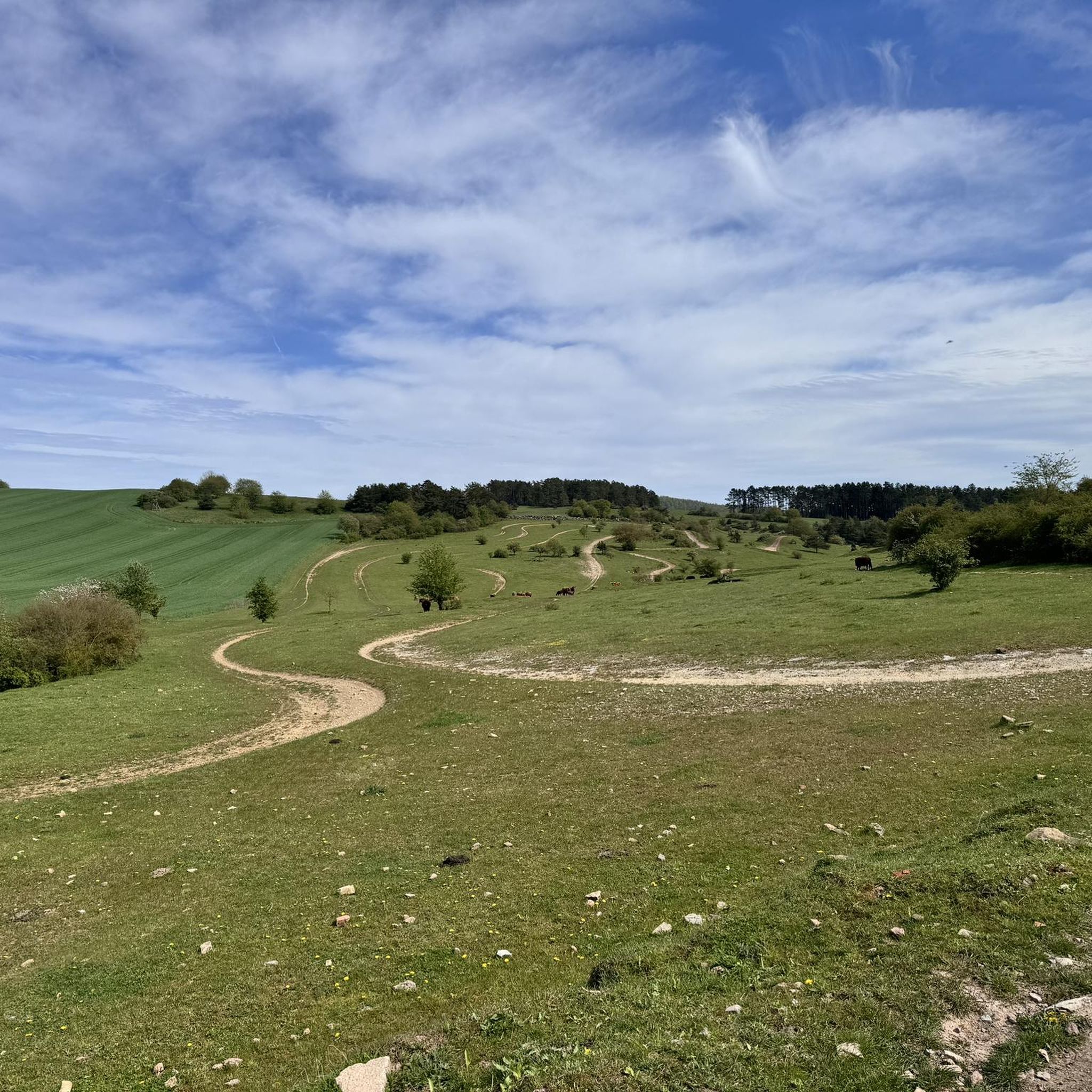
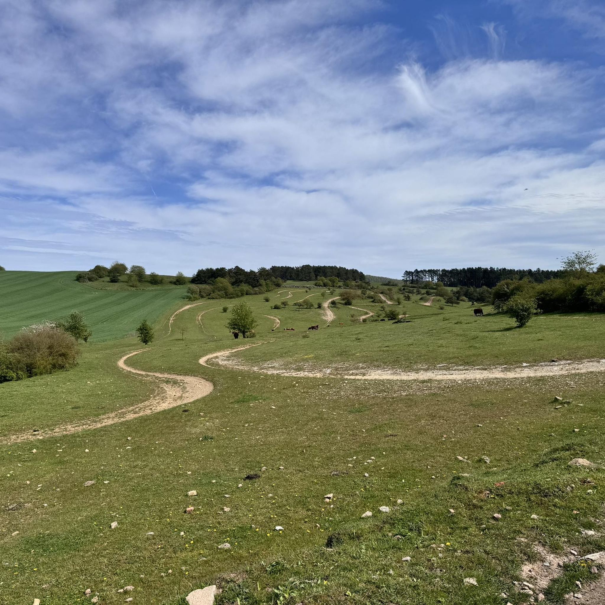
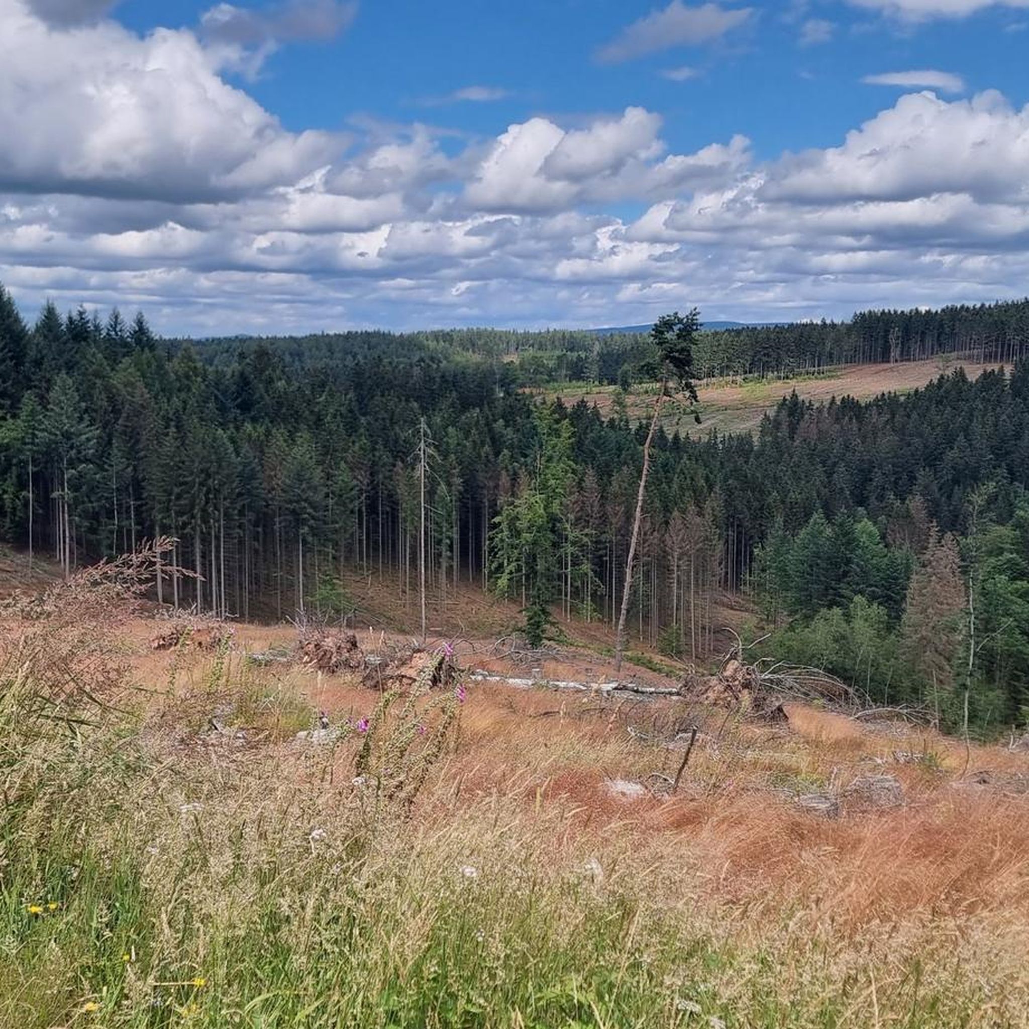
Gravel biking around Oberstadt offers diverse landscapes within the Thuringian Forest, characterized by varied terrain and significant elevations. The region features extensive forest paths and surfaces ranging from tarmac to loose gravel, providing a dynamic environment for cycling. Riders can explore areas leading to high points like Schneekopf and Großer Beerberg, the two highest mountains in Thuringia. This combination of natural features makes Oberstadt a suitable destination for gravel biking.
Best gravel bike trails around Oberstadt
- The most popular gravel…
Last updated: July 2, 2026
3.0
(1)
9
riders
32.9km
02:24
680m
680m
Hard gravel ride. Very good fitness required. Mostly paved surfaces. Suitable for all skill levels.
4.7
(7)
9
riders
50.9km
03:28
1,060m
1,060m
Hard gravel ride. Very good fitness required. You may need to push your bike for some segments of this route.

Sign up for free
4.0
(2)
6
riders
38.6km
02:37
700m
700m
Hard gravel ride. Very good fitness required. Mostly paved surfaces. Suitable for all skill levels.
4
riders
26.6km
01:52
460m
460m
Hard gravel ride. Very good fitness required. Mostly paved surfaces. Suitable for all skill levels.
6
riders
34.1km
02:04
500m
510m
Hard gravel ride. Very good fitness required. Mostly paved surfaces. Suitable for all skill levels.
Get access to more routes and recommendations from other explorers.
Sign up for free
Already have an account?
Our route recommendations are based on thousands of hikes, rides, and runs completed by other people on komoot.
Start today with a free account
Your next adventure awaits.
Login or Signup
Tips from the Community

Large intersection with many small roads.
1
0

Comfortable pass ride with moderate gradients.
0
0
Comfortable pass ride, the gradient is kept well within limits.
0
0


This is an interesting building complex
1
0

various old halls and buildings, interesting flair
1
0

The Bismarck Tower on the Domberg in Suhl is a historic observation tower built in 1896 in honor of Otto von Bismarck. It stands at a height of 676 meters and offers an impressive 360° panoramic view of Suhl, the Thuringian Forest, and the Rhön Mountains.
12
0
The Suhl Nature Park Gate on the Domberg is a popular entry point into the Thuringian Forest Nature Park and offers hikers exciting nature experiences. Right here, next to the parking lot, there's a lovely rest area for a relaxing break.
12
0
Frequently Asked Questions
What kind of terrain can I expect on gravel bike trails around Oberstadt?
The gravel bike trails around Oberstadt are primarily characterized by the diverse landscapes of the Thuringian Forest. You'll encounter extensive forest paths, varied surfaces ranging from tarmac to loose gravel, and even root trails. The region also features significant elevations, including routes leading to high points like Schneekopf and Großer Beerberg, the two highest mountains in Thuringia, offering challenging climbs and rewarding descents.
Are there any easy gravel bike trails suitable for beginners in Oberstadt?
While Oberstadt's gravel biking is known for its moderate to difficult routes, there are options that cater to varying skill levels. The region's trails are generally rated for their challenging mountain ascents and varied forest paths. For a moderate experience, consider the Old Vachdorf Station – Werra Weir in Henfstädt loop from Themar, which follows the Werra river and offers a mix of riverside scenery and varied terrain.
What are the best times of year to go gravel biking in Oberstadt?
The Thuringian Forest around Oberstadt offers a great experience for gravel biking during most of the year. Spring and autumn provide pleasant temperatures and beautiful scenery with changing foliage. Summer is also suitable, though some routes might be more exposed to the sun. Winter conditions can vary, with snow and ice potentially affecting trail accessibility, especially at higher elevations like Schneekopf and Großer Beerberg.
Are there any family-friendly or dog-friendly gravel trails in Oberstadt?
Many of the extensive forest paths around Oberstadt are suitable for families looking for a less strenuous ride, though specific 'family-friendly' routes are not explicitly highlighted as easy. For dog owners, the natural environment of the Thuringian Forest is generally welcoming, but always ensure your dog is well-behaved, on a leash where required, and that you carry water for them. The varied terrain means some sections might be more challenging for younger riders or less agile dogs.
What interesting landmarks or viewpoints can I see along the gravel bike trails?
Oberstadt and its surroundings offer several notable landmarks and viewpoints. You can visit the Adlersberg Observation Tower for scenic views. Another impressive spot is the Bismarck Tower on the Domberg (Suhl), which provides 360° panoramic views of Suhl, the Thuringian Forest, and the Rhön Mountains. The region also features historical sites like the Historic Bridge Near Einhausen and the Bear-trap installation in the Vesser Valley.
Are there any lakes or natural features to explore near the gravel routes?
Yes, the region around Oberstadt is rich in natural features, including several lakes. You can find highlights like Dreisbachteich, Erletor Reservoir, and Ebertshäuser Ponds. These offer serene spots for a break or a scenic detour during your ride. The Thuringian Forest itself provides a beautiful backdrop of varied terrain, including mountain peaks and forested paths.
How many gravel bike trails are available around Oberstadt?
There are over 30 gravel bike trails available around Oberstadt, offering a wide range of experiences for cyclists. These routes vary in length and difficulty, providing options for both moderate and more challenging rides through the Thuringian Forest.
What do other gravel bikers enjoy most about the trails in Oberstadt?
The gravel bike trails in Oberstadt are highly rated by the komoot community, with an average score of 4.4 stars from over 20 reviews. Riders often praise the extensive forest paths, the challenging mountain ascents, and the panoramic viewpoints. The diverse terrain, combining tarmac, loose gravel, and root trails, also contributes to a dynamic and engaging cycling experience.
Are there any circular gravel bike routes in the Oberstadt area?
Yes, many of the gravel bike routes around Oberstadt are designed as loops, allowing you to start and end at the same point. Examples include the difficult View from Goldlauter Ski Slope – Bierfleck Trail Junction loop from Suhl and the moderate Old Vachdorf Station – Werra Weir in Henfstädt loop from Themar. These circular routes are convenient for exploring the region without needing to arrange transport back to your starting point.
What is the typical duration for gravel bike rides in Oberstadt?
The duration of gravel bike rides in Oberstadt varies depending on the route's length and difficulty. For example, the difficult View from Goldlauter Ski Slope – Bierfleck Trail Junction loop from Suhl typically takes around 2 hours and 24 minutes to complete. Longer, more challenging routes like the Highest Point of the Rennsteig – Bierfleck Trail Junction loop from Schleusingen can take approximately 3 hours and 28 minutes.
Can I access the gravel bike trails in Oberstadt using public transport?
While specific public transport connections directly to trailheads are not detailed, the region around Oberstadt is part of Thuringia, which generally has a public transport network. For routes starting from towns like Suhl or Themar, it's advisable to check local bus or train schedules to see if they offer convenient access points to the trails. Parking options are usually available in these starting towns if you're traveling by car.
Most popular attractions around Oberstadt

Get inspired with the komoot mobile app


Explore more
Browse the best Gravel rides in other regions.
