The best gravel rides around Crawinkel
4.4
(56)
313
riders
52
rides
Gravel biking around Crawinkel offers access to the diverse landscapes of the Thuringian Forest, a low mountain range in Germany. The region features a mix of well-maintained gravel paths, unpaved forest roads, and natural forest floors, providing varied terrain for off-road cycling. Riders can expect rewarding ascents and descents, with routes often traversing dense forests and leading to panoramic viewpoints. This area is characterized by its extensive network of trails suitable for gravel bikes.
Best gravel bike trails around Crawinkel
…Last updated: October 19, 2026
4.9
(7)
43
riders
38.8km
02:44
850m
850m
Hard gravel ride. Very good fitness required. Mostly paved surfaces. Suitable for all skill levels.
4.7
(3)
20
riders
35.9km
02:34
730m
730m
Hard gravel ride. Very good fitness required. Mostly paved surfaces. Suitable for all skill levels.

3.5
(2)
10
riders
11.3km
00:48
160m
160m
Moderate gravel ride. Good fitness required. Mostly paved surfaces. Suitable for all skill levels.
5.0
(8)
34
riders
20.5km
01:25
440m
440m
Moderate gravel ride. Good fitness required. Mostly paved surfaces. Suitable for all skill levels.
4
riders
67.1km
04:44
1,070m
1,070m
Hard gravel ride. Very good fitness required. Mostly paved surfaces. Suitable for all skill levels.
Get access to more routes and recommendations from other explorers.
Already have an account?
Our route recommendations are based on thousands of hikes, rides, and runs completed by other people on komoot.
Start today with a free account
Your next adventure awaits.
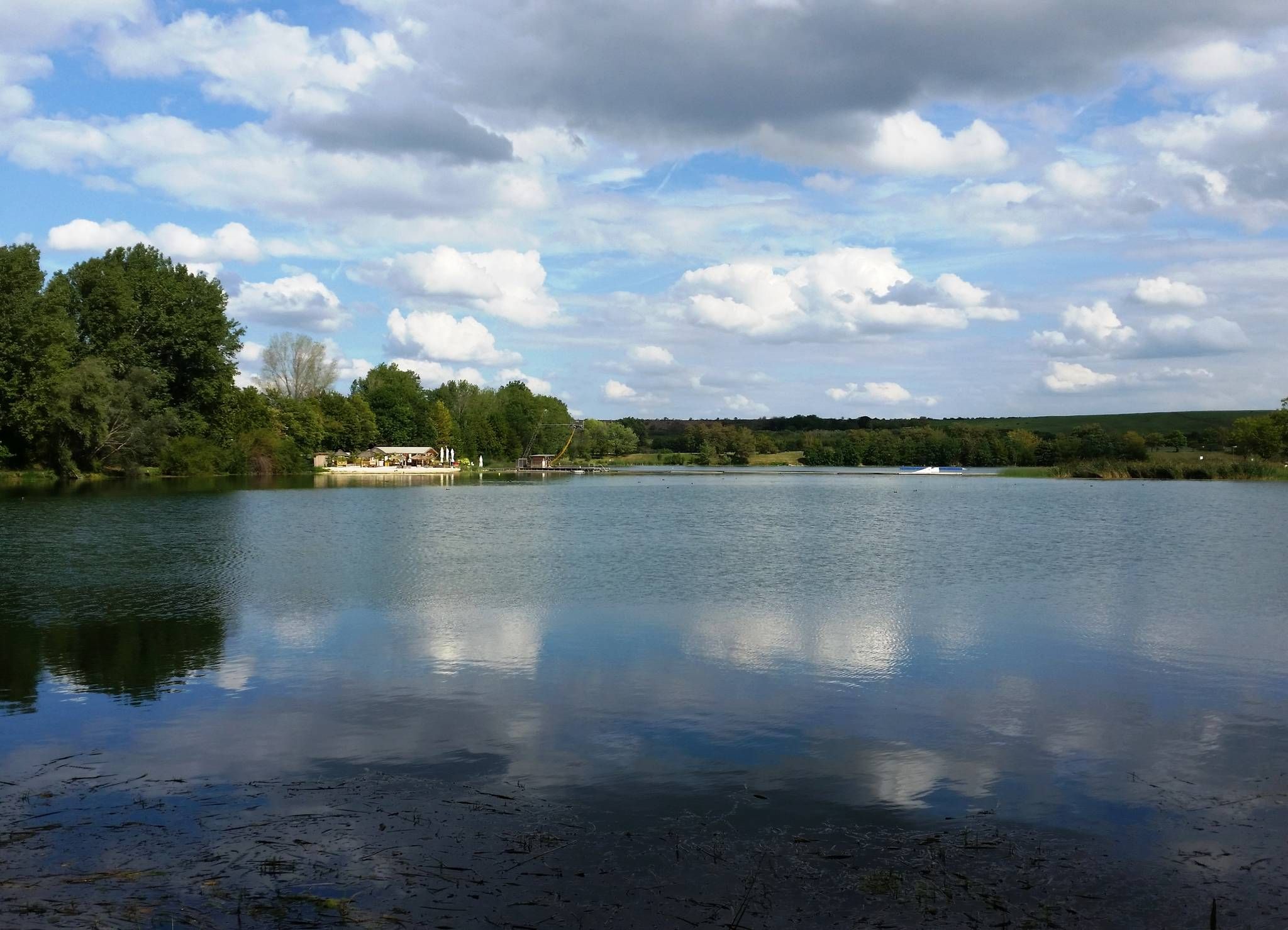
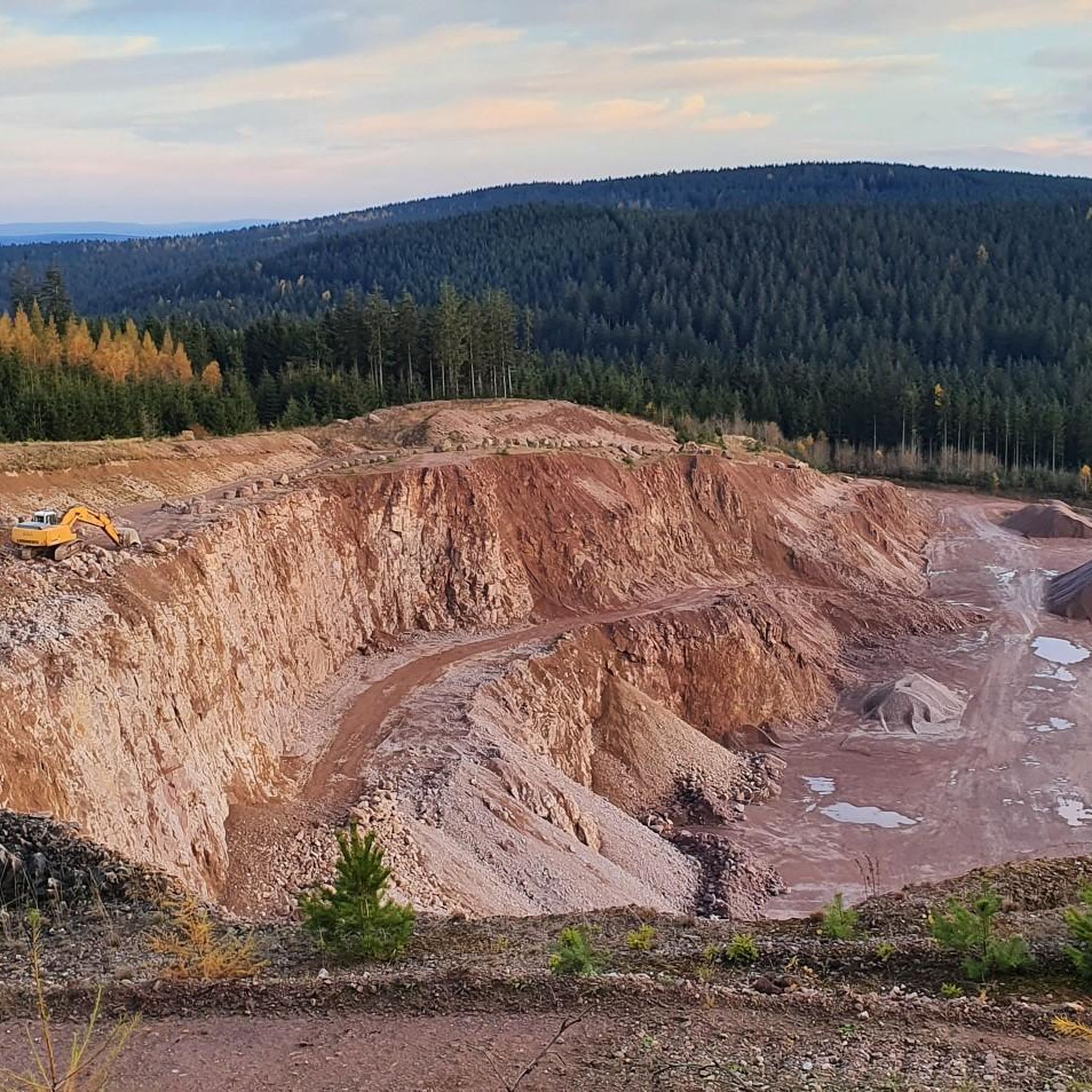
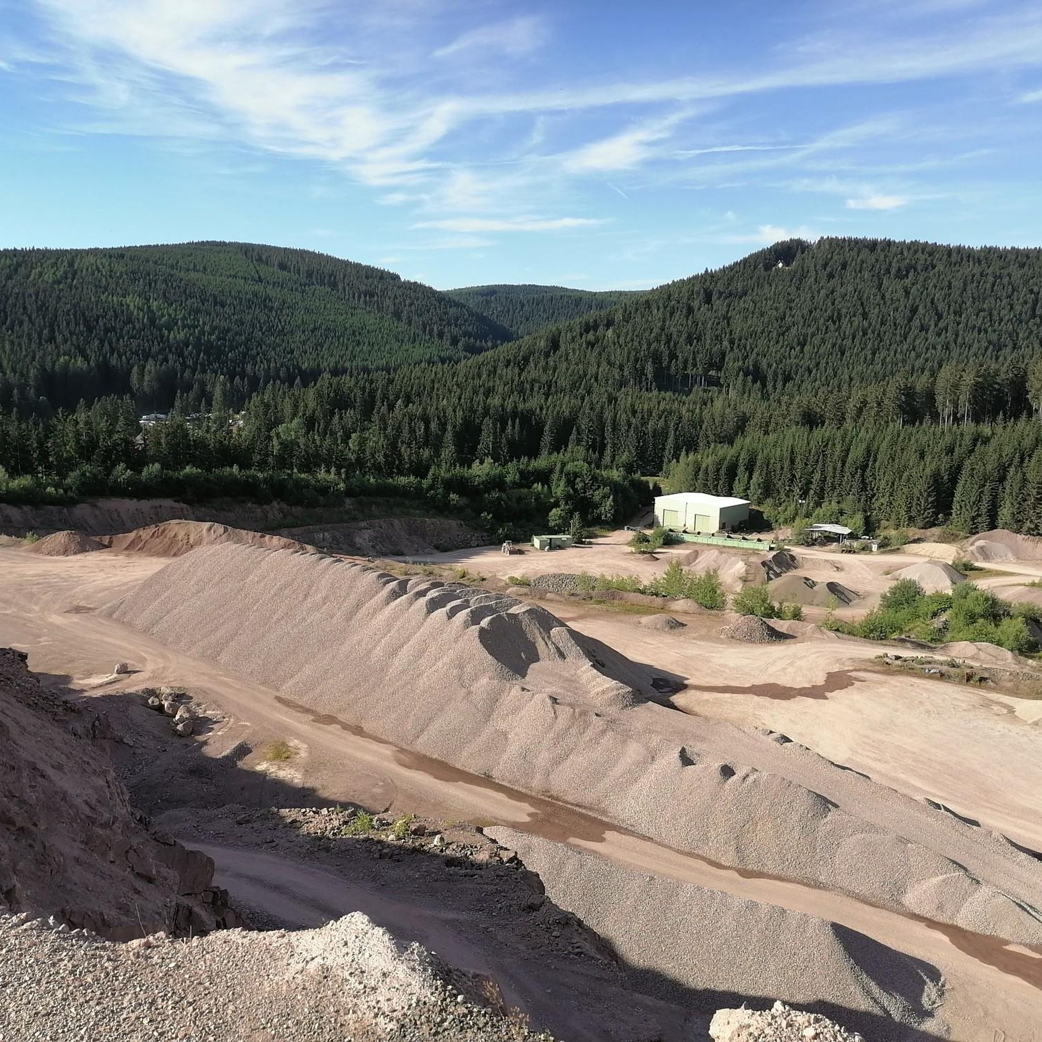
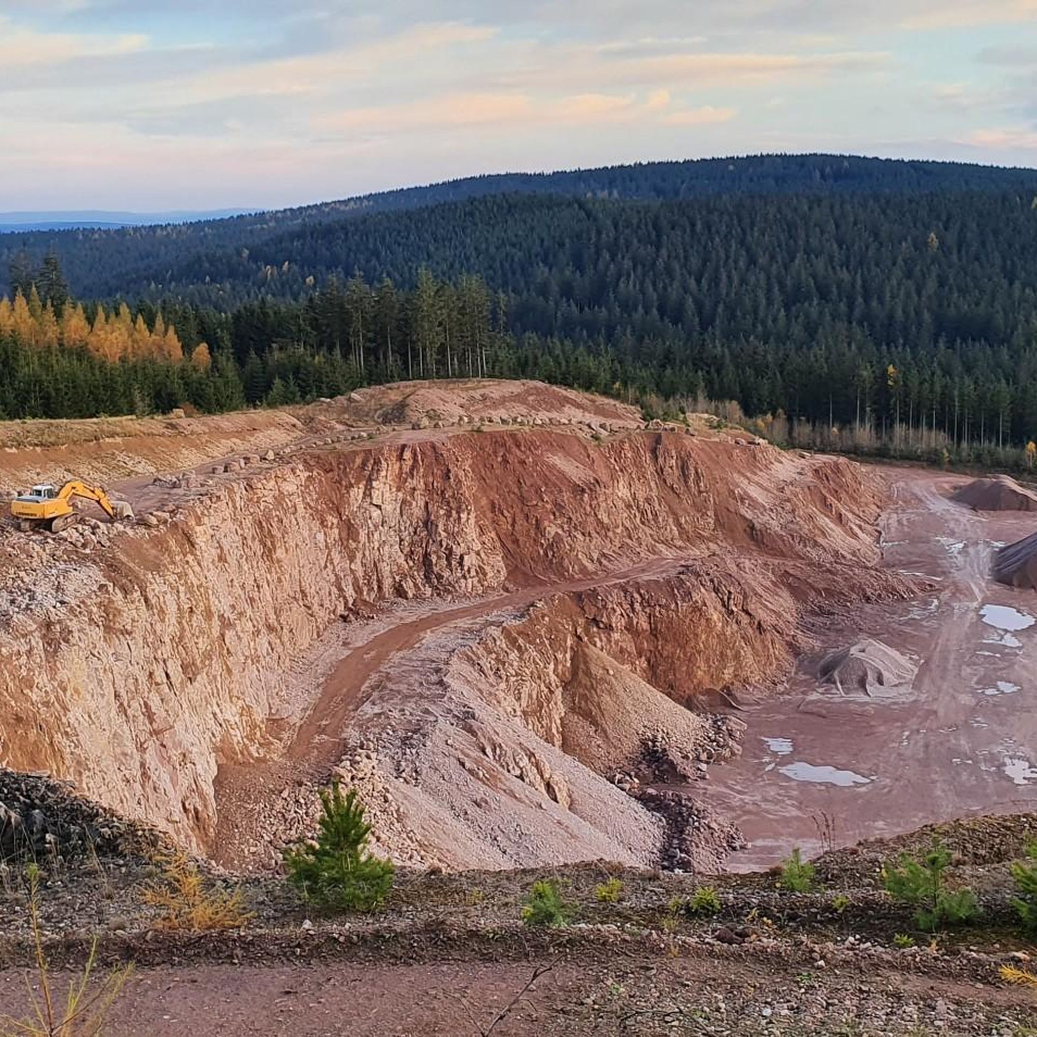
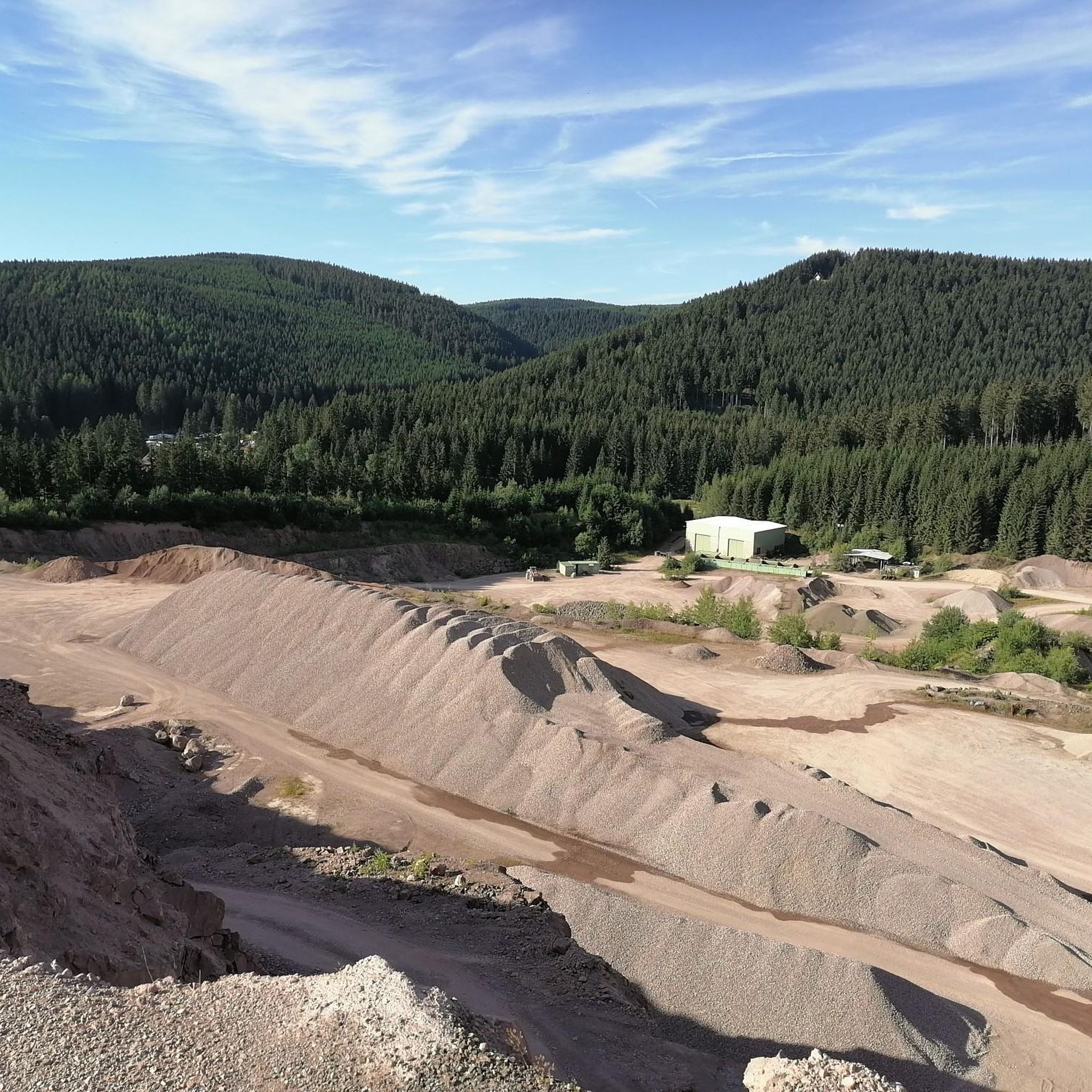
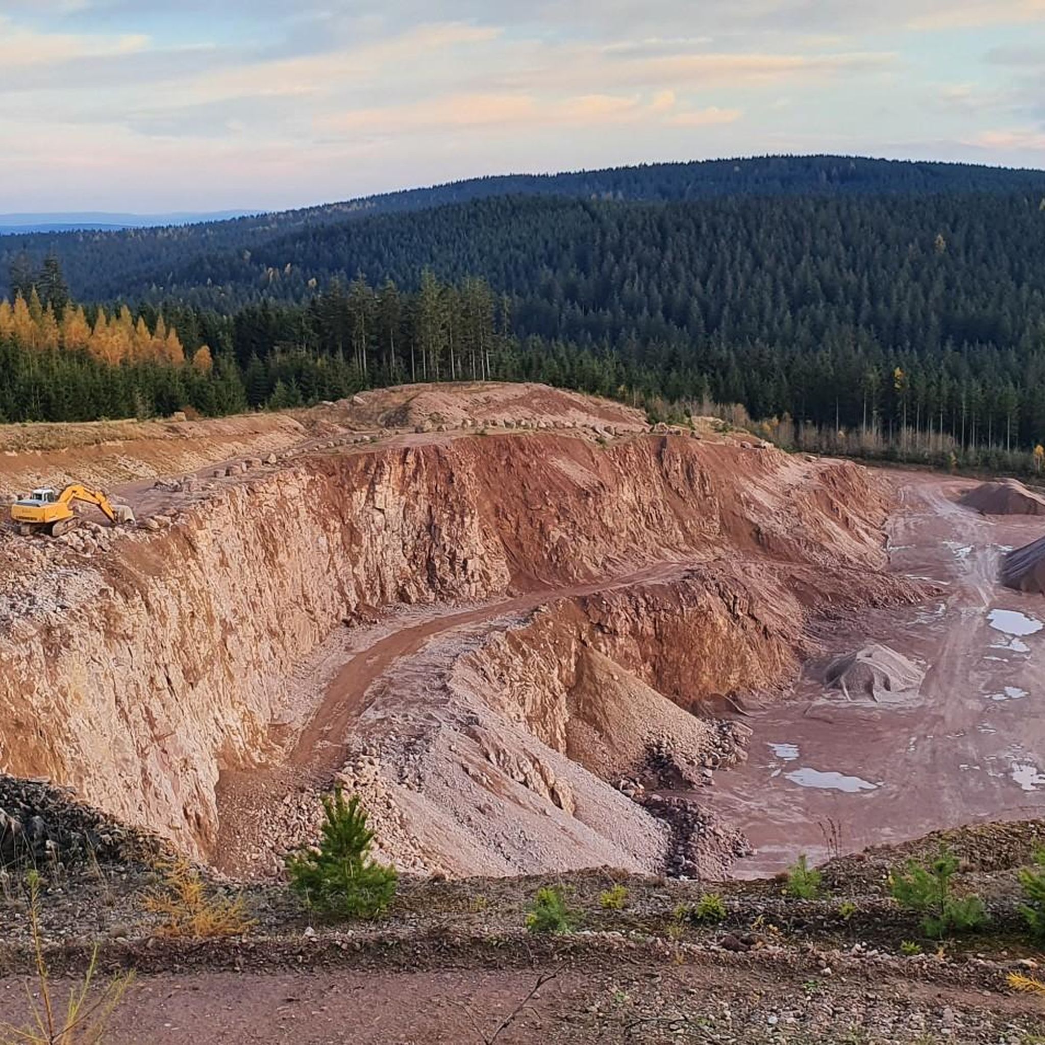
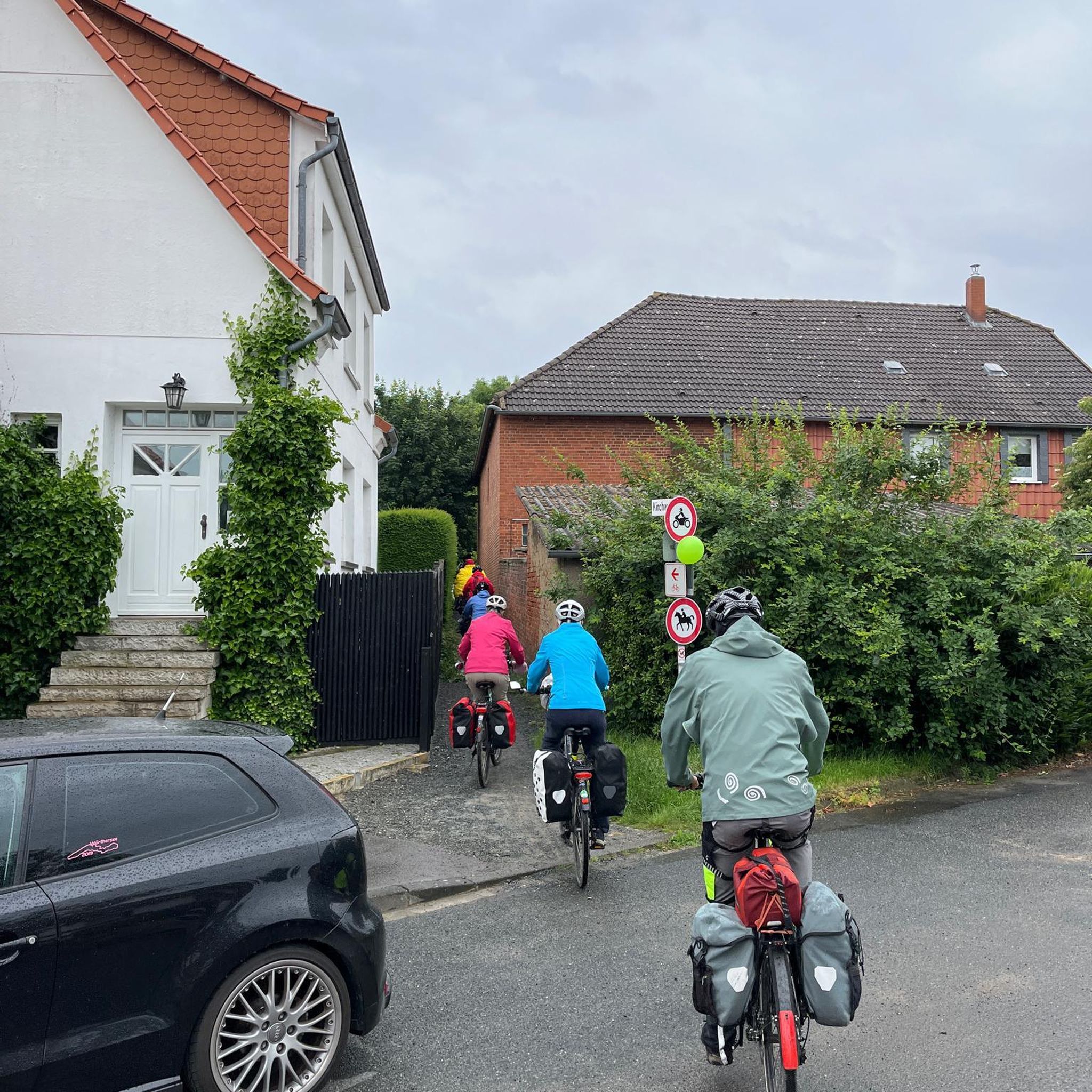
Other adventures around Crawinkel

Tips from the Community

Particularly scenic at sunset.
1
0

It's a great place for hiking.
0
0
These markings make hiking easier.
1
0
It's a great place for hiking.
0
0

Great view of the dam! The circular trail is highly recommended and easy to do by bike 👍
1
0


Mountain hut, very rustic and delicious. Always worth a stop!
0
0

Frequently Asked Questions
How many gravel bike trails are there around Crawinkel?
There are over 60 gravel bike trails available around Crawinkel, offering a wide range of options for exploring the Thuringian Forest.
What kind of terrain can I expect on gravel bike trails near Crawinkel?
The gravel bike trails around Crawinkel feature a diverse mix of surfaces, including well-maintained gravel paths, unpaved forest roads, and natural forest floors. This variety ensures dynamic rides and caters to different skill levels within the Thuringian Forest.
Are there any easy or beginner-friendly gravel bike trails in the Crawinkel area?
While many routes in the region are rated as moderate to difficult due to elevation changes, there are options that offer a less strenuous experience. For example, the Lütsche Reservoir – Ohra Reservoir loop from Talsperre Lütsche is a moderate 20.5 km trail with manageable elevation, suitable for those looking for a less challenging ride.
Can I find circular gravel bike routes starting near Crawinkel?
Yes, many of the gravel bike routes in the Crawinkel area are designed as circular loops, allowing you to start and end your ride at the same point. A popular example is the Ohra Reservoir – Lütsche Reservoir loop from Oberhof, which connects two significant reservoirs.
What are some notable viewpoints or natural attractions along the gravel bike trails?
The Thuringian Forest offers numerous scenic spots. You can find magnificent panoramic views from high peaks like the Schneekopf Summit and Observation Tower or Plänckner's viewpoint (Großer Beerberg). Many routes also pass by beautiful lakes such as the Lütsche Dam and the Ohra Dam.
Is the Thuringian Forest suitable for advanced gravel bikers?
Absolutely. The region's topography provides rewarding ascents and descents, with routes featuring significant elevation changes. Trails like the Highest Point of the Rennsteig – Plänckner's Viewpoint loop from Oberhof offer challenging distances and climbs, exploring high elevations and expansive views along the Rennsteig.
What is the best time of year for gravel biking around Crawinkel?
The Thuringian Forest is generally excellent for gravel biking from spring through autumn. During these seasons, you'll experience lush forests and comfortable temperatures. While winter biking is possible, be prepared for snow and ice, especially at higher elevations, which can make some trails impassable or require specialized gear.
Are there any cafes or places to stop for refreshments along the gravel bike routes?
Yes, the region has several spots where you can refuel. For instance, the Neue Gehlberger Hütte, located on the Schneekopf, is the highest-altitude hut in Thuringia and provides a serviced stop. Many villages and towns along or near the routes also offer cafes and pubs.
What do other gravel bikers enjoy most about gravel biking in Crawinkel?
The area is highly rated by the komoot community, with an average score of 4.5 stars from over 90 reviews. Reviewers often praise the diverse terrain, the extensive network of trails, and the stunning natural beauty of the Thuringian Forest, including its dense forests and panoramic views.
Is it possible to reach the gravel bike trails near Crawinkel using public transport?
While Crawinkel itself has limited public transport options directly to trailheads, the wider Thuringian Forest region is accessible by train and bus, particularly to larger towns like Oberhof. From these points, you may be able to connect to trails or cycle to starting points. It's advisable to check local transport schedules and bike carriage policies in advance.
Where can I park my car when starting a gravel bike ride near Crawinkel?
Parking is generally available in and around the villages and towns that serve as starting points for many routes. For example, Oberhof, a common starting point for several popular trails, offers various parking facilities. Look for designated parking areas near trailheads or in town centers.
Are there any specific rules or permits required for gravel biking in the Thuringian Forest?
Generally, no specific permits are required for gravel biking on designated trails and forest roads in the Thuringian Forest. However, as part of a UNESCO biosphere reserve, it's important to respect nature, stay on marked paths, and adhere to local regulations regarding protected areas. Always be mindful of hikers and other trail users.
Most popular routes around Crawinkel
Most popular attractions around Crawinkel

Get inspired with the komoot mobile app


Explore more
Browse the best Gravel rides in other regions.
