The best gravel rides around Gillenbeuren
4.3
(12)
115
riders
10
rides
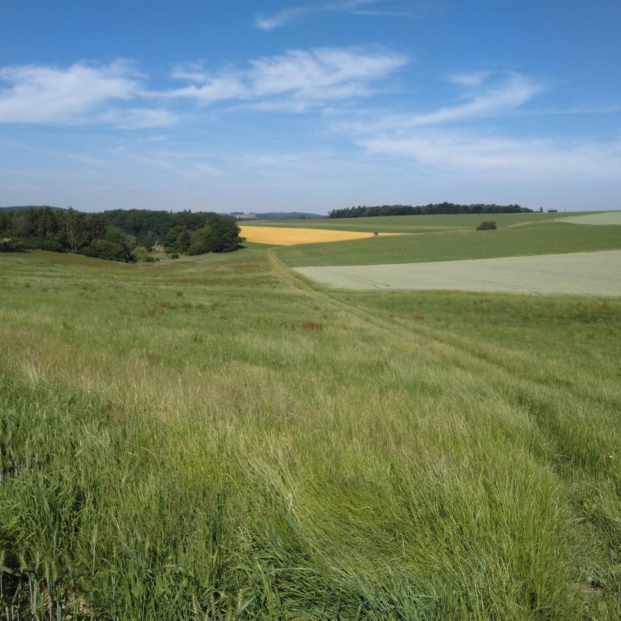
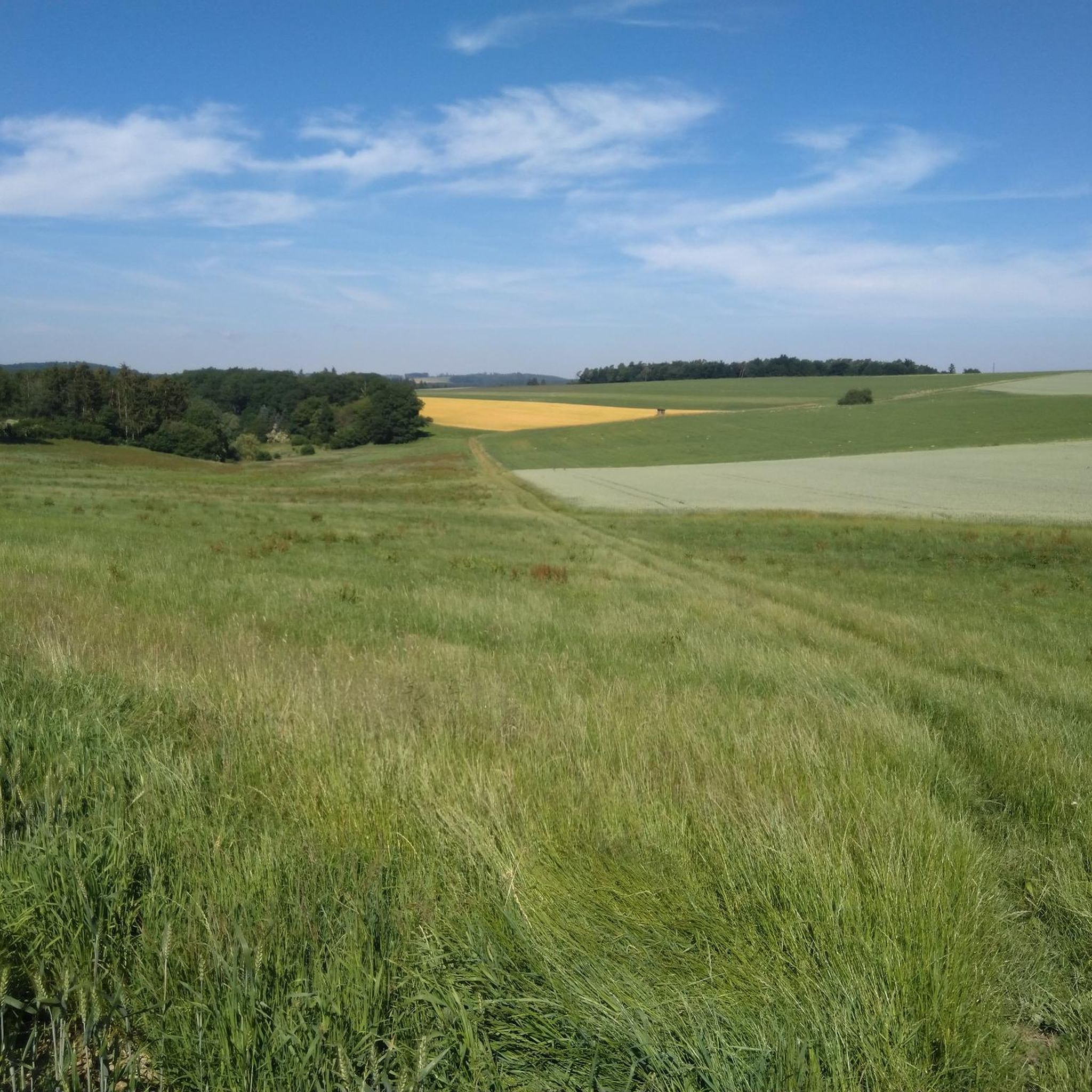
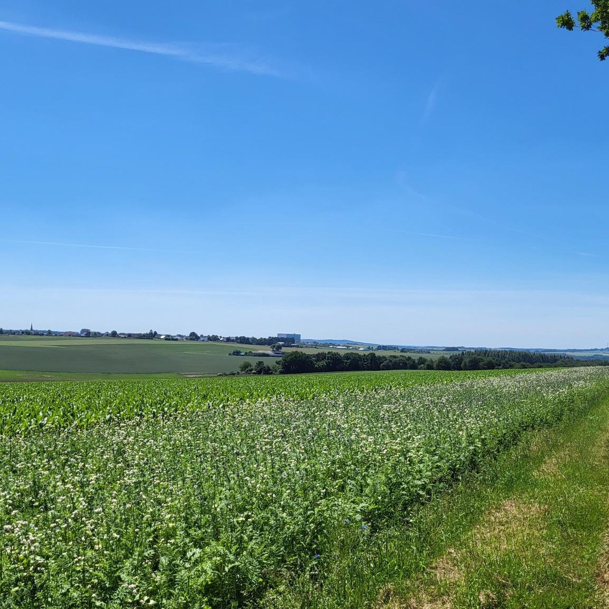
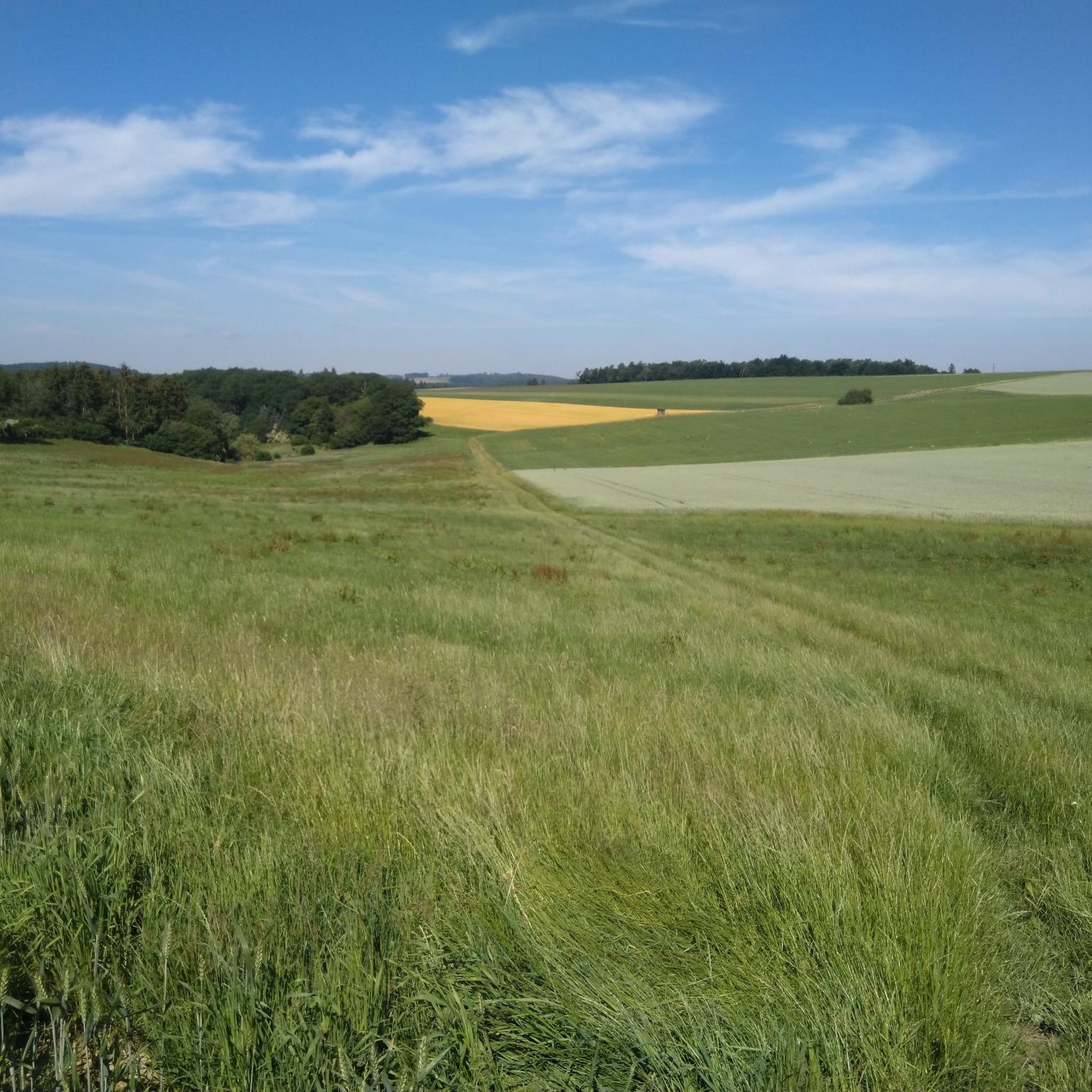
Gravel biking around Gillenbeuren offers diverse terrain within Germany's Moselle region, at the foot of the Hunsrück Mountains. The landscape features rolling hills, extensive vineyards, and dense forests, characteristic of the Vulkaneifel area. This topography provides a blend of paved and unpaved surfaces, including forest tracks and vineyard paths. The region's varied elevation and natural features, such as the Moselle river valley, create engaging routes for gravel cyclists.
Best gravel bike trails around Gillenbeuren
- The most popular gravel bike trail…
Last updated: July 2, 2026
4.2
(10)
68
riders
60.0km
03:45
670m
670m
Hard gravel ride. Very good fitness required. Mostly paved surfaces. Suitable for all skill levels.
15
riders
25.1km
01:43
340m
340m
Moderate gravel ride. Good fitness required. Mostly paved surfaces. Suitable for all skill levels.

Sign up for free
5.0
(1)
13
riders
Hard gravel ride. Very good fitness required. Mostly paved surfaces. Suitable for all skill levels.
4.5
(2)
5
riders
36.3km
02:30
590m
590m
Hard gravel ride. Very good fitness required. Mostly paved surfaces. Suitable for all skill levels.
5
riders
Hard gravel ride. Very good fitness required. Mostly paved surfaces. Suitable for all skill levels.
Get access to more routes and recommendations from other explorers.
Sign up for free
Already have an account?
Our route recommendations are based on thousands of hikes, rides, and runs completed by other people on komoot.
Start today with a free account
Your next adventure awaits.
Login or Signup
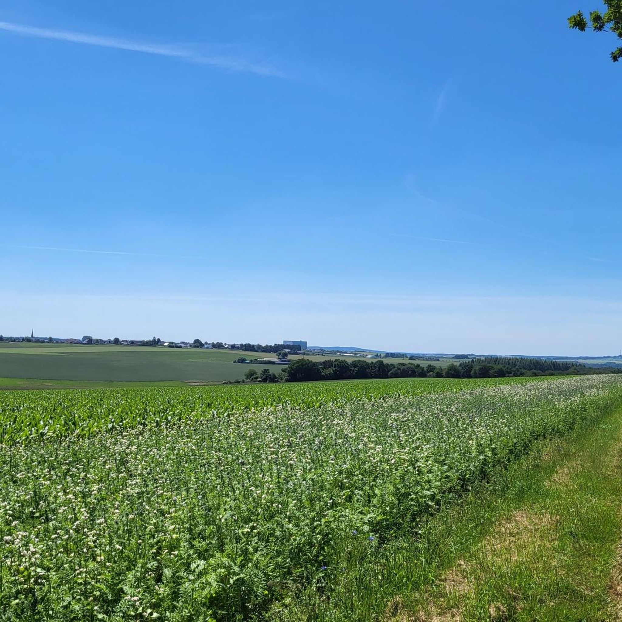
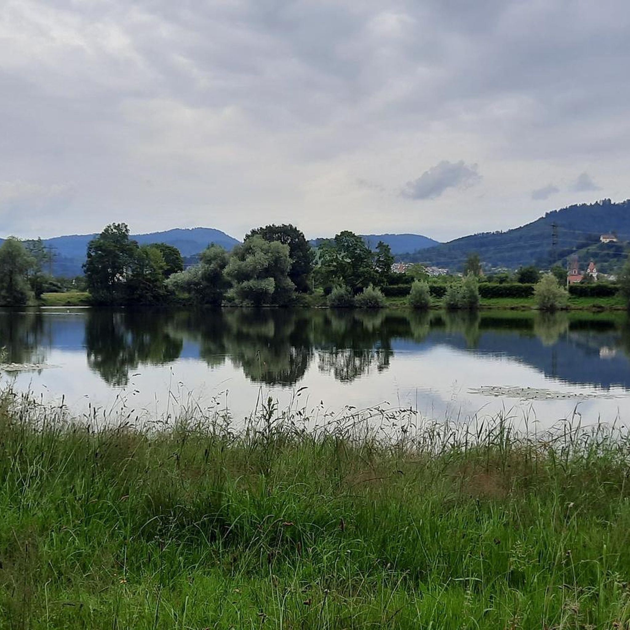
Tips from the Community

A well-maintained cycle path runs around the maar, and beautiful views are guaranteed.
0
0

beautiful area and great for cycling
2
0

Only love counts! ❤️
0
0

Be sure to go up to Metternich Castle
3
0

From here you have a beautiful view of the village of Klotten
3
0

Cochem Market Square The numerous well-preserved remnants of the historic city wall with its old fortifications still bear witness to Cochem's vibrant past, such as the Endert Gate with the former gatekeeper's residence, the defensive tower with the Balduin Gate, and the Martin Gate with its battlements and one of the footpaths to the Imperial Castle. Also eye-catching are the town hall, built in 1739 in the Baroque style, on the cozy market square, the "parlor" with the Martin Fountain, and the old, half-timbered, gabled houses roofed with Moselle slate in the narrow streets of the old town. The Bock Fountain on the Moselle promenade represents a "Cochemer Stückelchen" (Cochem little piece), an ironic narrative of everyday life for the residents. Opposite is St. Martin's Church with its striking tower, through which you walk on the pedestrian zone. From the Moselle promenade, you reach Bernstrasse through the "Fuchsloch," a passage that was once Cochem's smallest city gate. On the bridge near the tourist information office, there is a mosaic depicting the family tree of the town of Cochem. Experience-Marketplace-Small-Houses From the market square, old, winding stone steps lead up to the Klosterberg. The Capuchin monastery, built around 1630 and situated on a mountain promontory, served as a monastery until 1802 and is now the town's cultural center. Text / Source: City of Cochem, Markt 1, 56812 Cochem https://cochem.de/thema/cochemer-altstadt/
17
0
The Daun Maars - 10,000-Year-Old Volcanic Lakes The Daun Maars were formed around 10,000 years ago from volcanic steam explosions. Hot lava rises from the Earth's interior and meets water, which suddenly evaporates. This blasts away entire mountain peaks. What remains is a deep crater that fills with water over the years and a wall of boulders surrounding the lake. The Daun Maars include the Gemünden Maar, the Weinfelder Maar, and the Schalkenmehrener Doppelmaar. One crater of the Schalkenmehren Maar has silted up over the millennia. The area is a nature reserve and a refuge for waterfowl and rare dragonfly species. Text / Source: deutschland-outdoor.der https://deutschland-outdoor.de/eifel/dauner-maare
13
0
Weinfelder Maar The Weinfelder Maar, formed by volcanic activity around 20,000 to 30,000 years ago, is the highest of the three Daun Maars at 487 meters above sea level. The lake is 51 meters deep and has a diameter of 396 to 429 meters. An almost melancholic atmosphere surrounds the maar. Many legends surround the tranquil Eifel eye. A castle is said to have once stood on the site of the crater, where a count lived with his wife and only child. After returning home from a hunt, the castle had sunk as punishment for the woman's nastiness, and he found only a lake where a cradle miraculously floated his child safely to the shore. If you look at the dark surface of the water long enough, it is said that you can make out the outline of the castle. The German landscape painter Fritz von Wille was so fascinated by the Weinfelder Maar that he repeatedly immortalized it in his paintings. Among his favorite motifs was the small chapel on the north bank, dedicated to Saint Martin. It was once the parish church of the village of Weinfeld, which was ravaged by the plague in the 16th century. Anyone who rings the bells inside by pulling the ropes can make a wish. To this day, the associated cemetery is maintained and used by the local community of Schalkenmehren. This is also where its second name, Totenmaar, comes from. Donkeys and goats have been introduced to the Weinfelder Maar to regulate vegetation. The maar's unique flora and fauna are protected. Swimming and other water sports are prohibited in the Weinfelder Maar, but a nearly two-kilometer-long path makes it a wonderful place to explore on foot. Parking: Guests can park along the L64 either in the parking lot at the Weinfelder Maar or on the Maarsattel between the Weinfelder Maar and the Schalkenmehrener Maar. Text / Source: GesundLand Vulkaneifel GmbH, Leopoldstr. 9 A, 54550 Daun https://www.eifel.info/a-weinfelder-maar
13
0
Frequently Asked Questions
What kind of terrain can I expect on gravel bike trails around Gillenbeuren?
Gravel biking around Gillenbeuren features diverse terrain, including rolling hills, extensive vineyards, and dense forests, characteristic of the Vulkaneifel area. You'll encounter a blend of paved and unpaved surfaces, such as forest tracks and vineyard paths, with varied elevation providing engaging rides.
Are there any easy or beginner-friendly gravel bike routes in Gillenbeuren?
While many routes in the area are moderate to difficult, there are options suitable for different ability levels. For example, the region offers paths that are less demanding, allowing beginners to enjoy the scenic landscapes without excessive challenge. The komoot community rates the overall network highly, indicating well-maintained paths.
What natural features or landmarks can I see along the gravel bike trails near Gillenbeuren?
Many gravel routes offer stunning views of the Moselle River valley and its vineyards. You can also encounter unique geological formations from the Vulkaneifel area. Specific routes might take you past historic sites like the impressive Reichsburg Cochem, visible on tours such as the View of Reichsburg Cochem – View of Cochem Castle loop from Cochem (Mosel). Other natural highlights include the Ulmener Maar and Pulvermaar, which are volcanic lakes in the vicinity.
Are there any waterfalls or natural monuments accessible by gravel bike around Gillenbeuren?
Yes, the region boasts several natural attractions. You can find highlights like the Klidinger Waterfall or the Rausch Waterfall. Additionally, natural monuments such as the Calmont via ferrata and various viewpoints like the Panoramic view of the Moselle bend below the Calmont summit offer spectacular sights.
What is the best time of year for gravel biking in Gillenbeuren?
The diverse landscape of Gillenbeuren, with its rolling hills, vineyards, and forests, is enjoyable throughout much of the year. Spring and autumn generally offer pleasant temperatures and vibrant scenery, making them ideal for exploring. Summer can also be great, especially for rides along the Moselle where you might find shade. Winter conditions can vary, so checking local weather forecasts is advisable.
Are there any circular gravel bike routes starting near Gillenbeuren?
Yes, many of the gravel bike routes in the area are designed as loops, allowing you to start and end at the same point. Examples include the View of the Moselle River – Ferry Tower Hatzenport loop from Cochem (Mosel) or the Mosel Islands Marina – View of Klotten loop from Cochem (Mosel), which offer extensive scenic rides.
Can I find places to eat or stay along the gravel bike routes in Gillenbeuren?
The region around Gillenbeuren, particularly along the Moselle river, is well-equipped with amenities for visitors. You'll find various cafes, pubs, and accommodation options in picturesque villages that can serve as convenient stops during or after your ride. Many routes pass through or near these villages, offering opportunities for refreshment.
What do other gravel bikers say about the trails in Gillenbeuren?
The gravel biking routes in Gillenbeuren are highly rated by the komoot community, with an average score of 4.3 stars from over 10 reviews. Many riders praise the varied terrain, the stunning views of the Moselle valley, and the mix of challenging climbs and enjoyable descents through vineyards and forests.
Is there public transport access to Gillenbeuren for cyclists?
Public transport options to Gillenbeuren and the surrounding Eifel region are available, though they might require some planning, especially if you're bringing a bike. It's advisable to check local bus and train schedules, as services can vary. The proximity to the Moselle river also means some areas are well-connected.
Where can I park my car if I want to go gravel biking in Gillenbeuren?
Parking facilities are generally available in and around Gillenbeuren, particularly in larger villages and towns that serve as common starting points for tours, such as Cochem. Look for designated parking areas near trailheads or in village centers. It's always a good idea to check local signage for any parking restrictions or fees.
Are there any advanced or challenging gravel bike routes in the area?
Yes, for experienced gravel bikers seeking a challenge, Gillenbeuren offers several difficult routes with significant elevation gain. For instance, the Dronketurm Tower Viewpoint – Dronke Tower on the Mäuseberg loop from Berenbach is a difficult 35.9 km route with nearly 600 meters of elevation gain, providing a demanding ride through the varied landscape.
Can I bring my dog on the gravel bike trails around Gillenbeuren?
Many trails in natural areas are generally dog-friendly, especially if your dog is well-behaved and kept on a leash. However, specific regulations can vary depending on the exact path or protected area. It's always recommended to check local guidelines or signage along the trails to ensure a pleasant and safe experience for both you and your pet.
Most popular routes around Gillenbeuren
Most popular attractions around Gillenbeuren

Get inspired with the komoot mobile app


Explore more
Browse the best Gravel rides in other regions.
