The best gravel rides around Sachsenbrunn
4.7
(22)
136
riders
10
rides
Gravel biking around Sachsenbrunn offers a network of trails through the Thuringian Forest region. The landscape is characterized by rolling hills, dense woodlands, and river valleys, providing varied terrain for gravel cyclists. Elevations range from gentle ascents to more challenging climbs, with routes often following forest tracks and unpaved roads. The region's natural features create a diverse environment suitable for exploring on a gravel bike.
Best gravel bike trails around Sachsenbrunn
- The most popular gravel bike trail is Höllteich –…
Last updated: July 2, 2026
4.3
(6)
45
riders
63.4km
03:54
850m
850m
Hard gravel ride. Very good fitness required. Mostly paved surfaces. Suitable for all skill levels.
5.0
(3)
21
riders
30.4km
02:05
440m
440m
Moderate gravel ride. Good fitness required. Mostly paved surfaces. Suitable for all skill levels.

Sign up for free
5.0
(1)
10
riders
17.8km
01:06
180m
180m
Moderate gravel ride. Good fitness required. Mostly paved surfaces. Suitable for all skill levels.
5.0
(1)
11
riders
21.3km
01:21
270m
260m
Moderate gravel ride. Good fitness required. Mostly paved surfaces. Suitable for all skill levels.
4
riders
28.3km
01:51
470m
470m
Hard gravel ride. Very good fitness required. Mostly paved surfaces. Suitable for all skill levels.
Get access to more routes and recommendations from other explorers.
Sign up for free
Already have an account?
Our route recommendations are based on thousands of hikes, rides, and runs completed by other people on komoot.
Start today with a free account
Your next adventure awaits.
Login or Signup
Popular around Sachsenbrunn
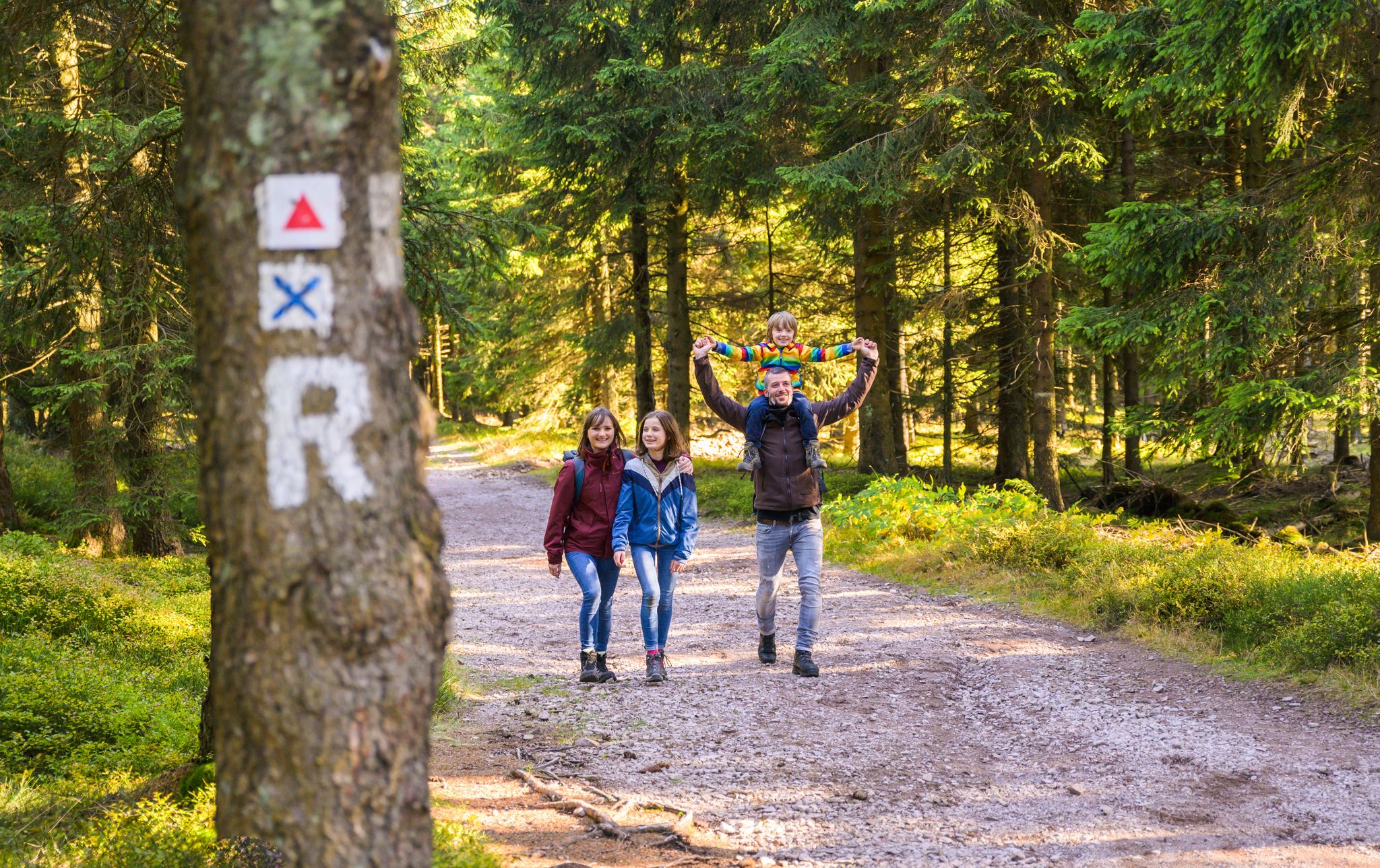
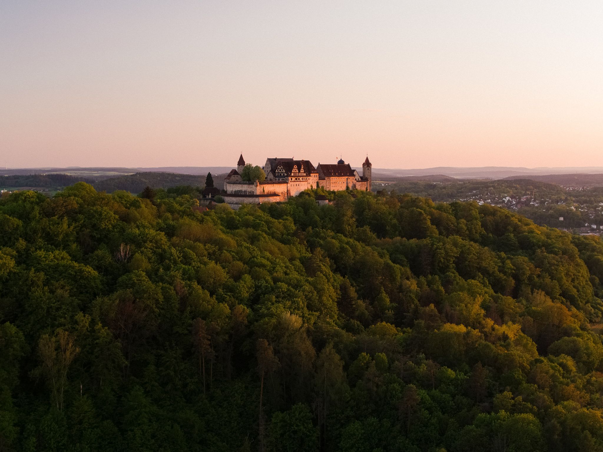
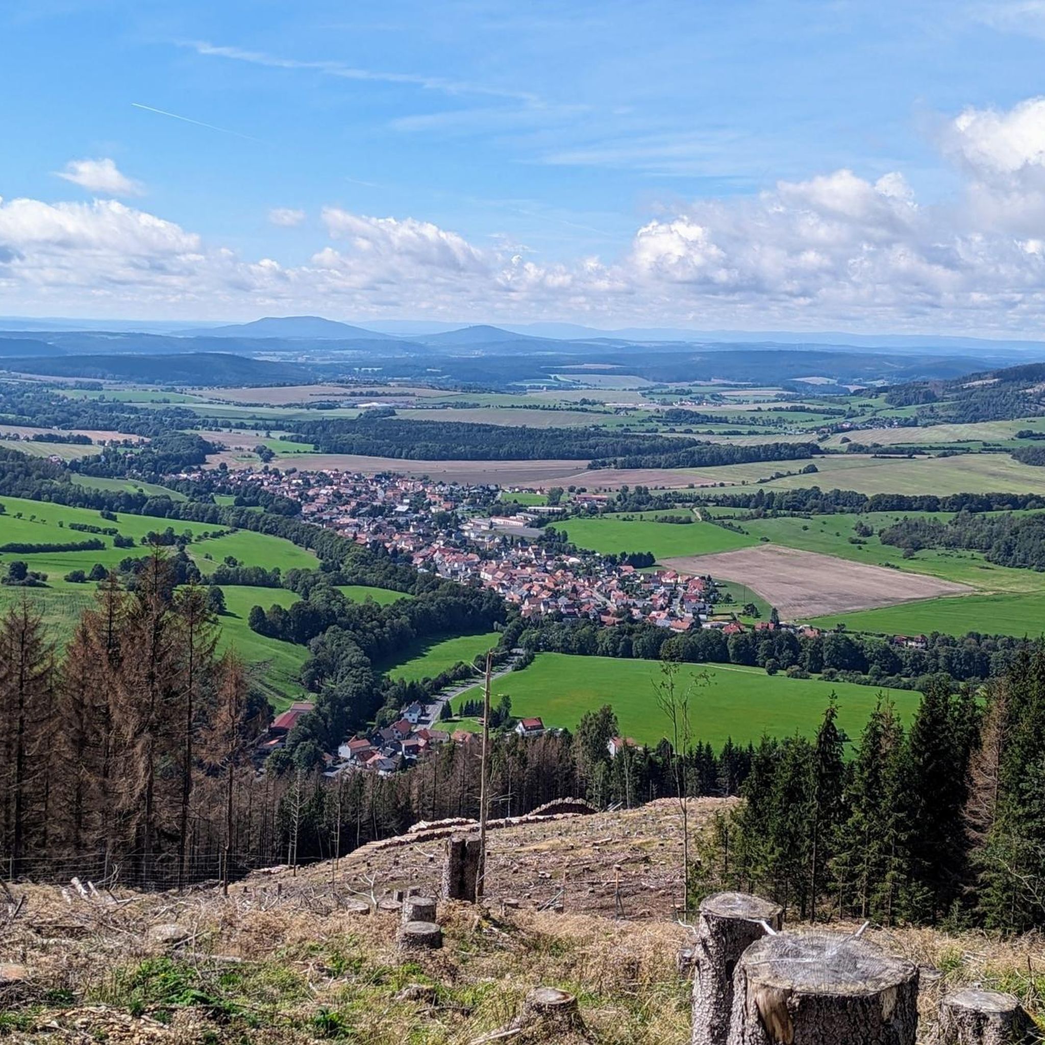


Tips from the Community

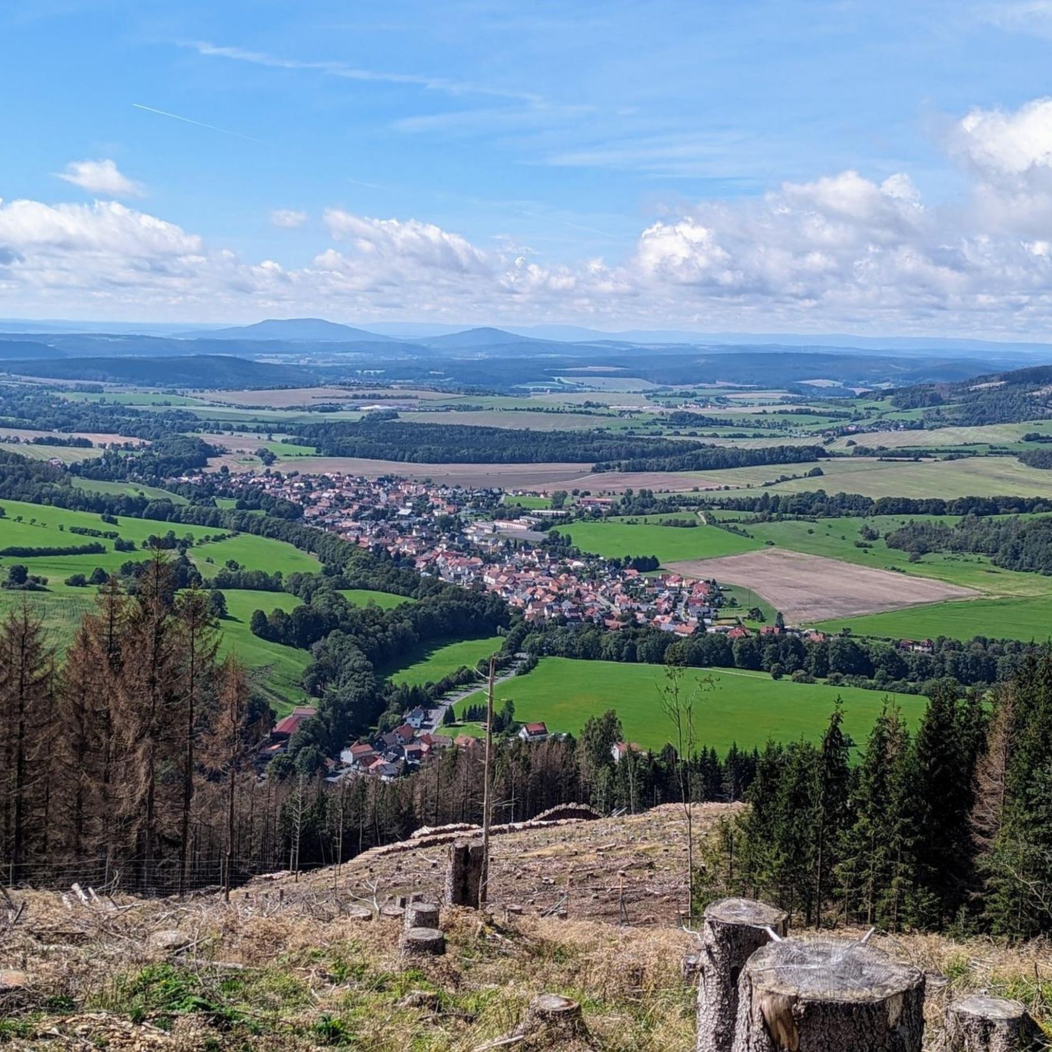
Friedrichshöhe is situated on a high plateau in the Thuringian Slate Mountains, north of Eisfeld and southeast of Masserberg on the Rennsteig hiking trail. The village lies amidst mountain meadows, surrounded by forests at an altitude of 800 meters above sea level. It is accessible via a road leading to the B281 federal highway.
11
0

Just before Ilmenau, on the section of the Ilm Cycle Path along the former Langewiesen railway line, this rest area with a covered picnic hut invites you to take a relaxing break. Benches and a table are available here – ideal for a quick snack in the shade before heading into town. A perfect stopover for cyclists and hikers looking to enjoy the last few meters to Ilmenau.
0
0

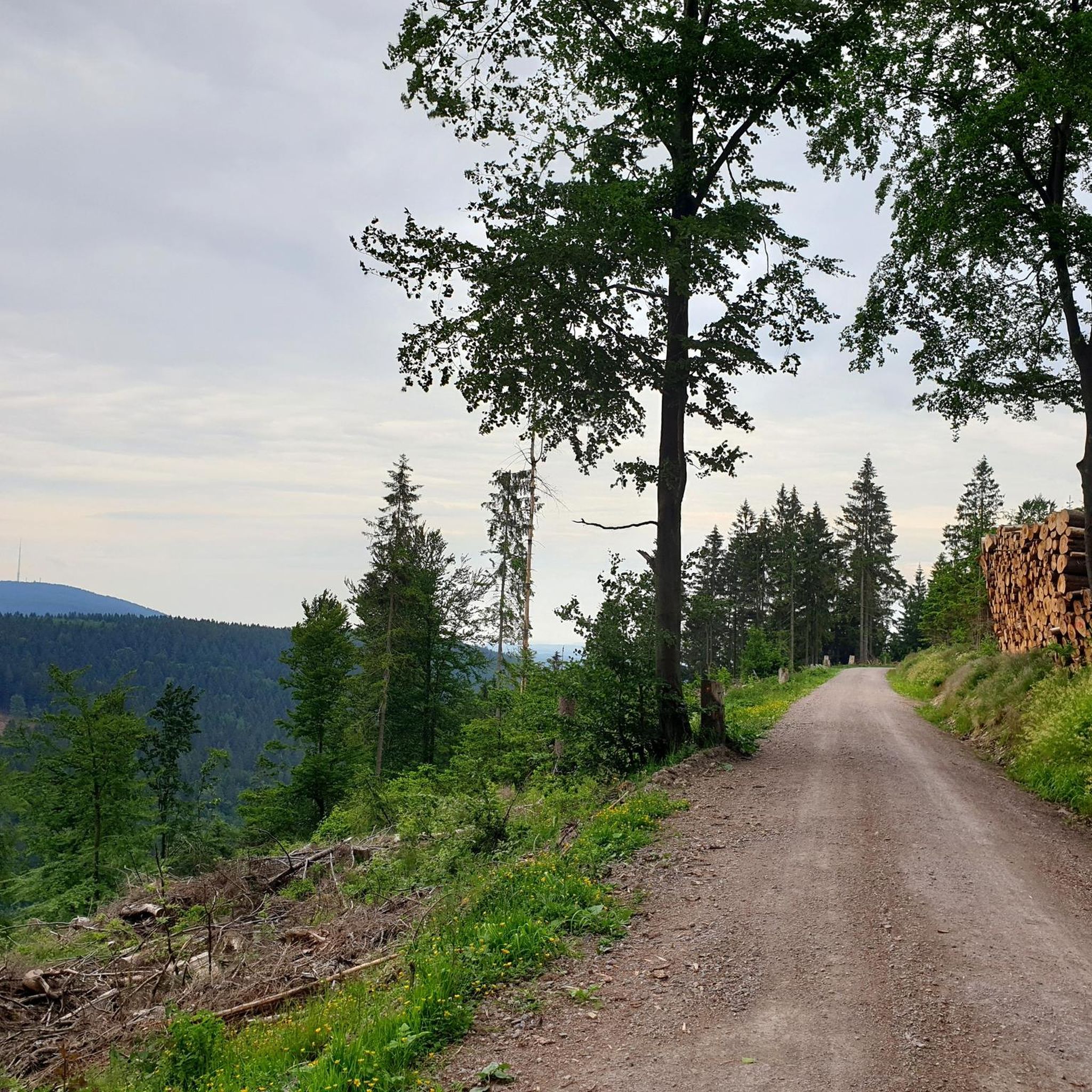
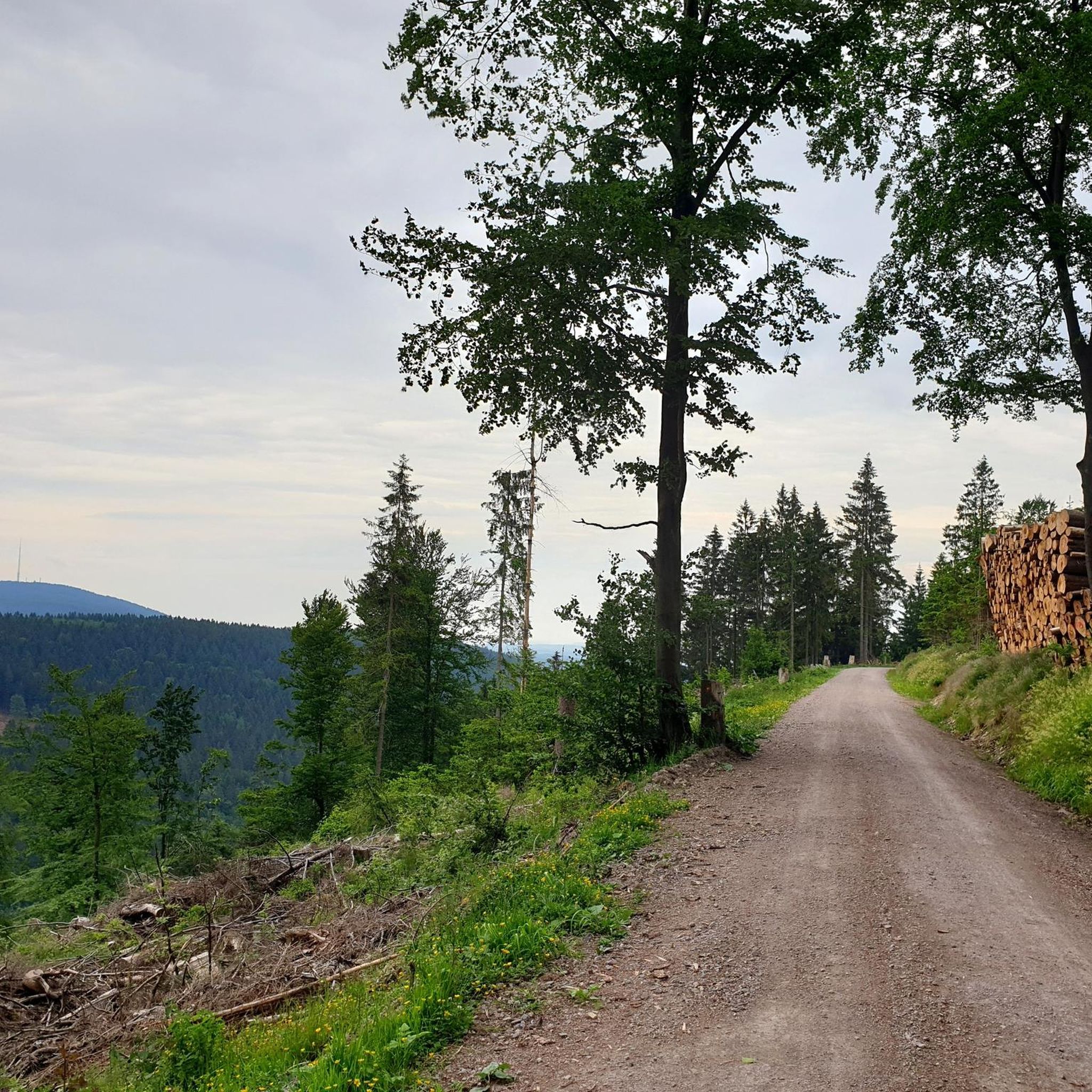
A very beautiful, natural trail with singletrack sections, but now partially leveled and damaged by forestry work. Still worth a ride, though 👍
0
0

From the Heidehütte on the Rennsteig, past the mountain hut to the Eisfelder Ausspanne, it's rolling. 🚵👍😉 Great!
3
0


The Werra River has not one, but two sources. While the "rear source" is located at this highlight, the so-called "front source" is located near Fehrenbach. The source was first tapped in 1909. Further information can be found on the information boards on site.
0
0
The Werra River is fed by two springs and flows through Germany's geographical center. A variety of wonderful spots await the leisurely stroller along the riverside paths. One of these is located here on the way to the Eisfelder Ausspanne (Eisfelder Rest Area). The water is very cold. A seating area is available. From here, several paths lead up towards the Rennsteig Trail. The descent from there leads past the idyllic rafting pond to Sachsenbrunn with its centuries-old dancing linden tree. The dammed water was once used for floating logs, hence the name.
14
0

I walked along the Berggrabenweg from Stützerbach to Manebach. It was a joy because it was very well signposted, easy to walk, at times dreamy and winding, but also wide and sunny with good views into the distance and the valley. It was created in 1995 and offers plenty of seating and interesting information panels. There's even a Kneipp pool in Manebach, and from here you could take a detour to the Schöffenhaus (Lawyers' House). It's open again! The return journey is by bus.
0
0
Frequently Asked Questions
How challenging are the gravel bike trails around Sachsenbrunn?
The gravel bike trails around Sachsenbrunn offer a mix of moderate and difficult routes. You'll find 7 moderate trails and 8 difficult trails, characterized by rolling hills, dense woodlands, and varied elevations. This provides options for different skill levels, from those looking for a steady ride to experienced cyclists seeking significant climbs.
Are there any beginner-friendly gravel bike routes in Sachsenbrunn?
While Sachsenbrunn's gravel trails lean towards moderate to difficult, routes like the Werra Spring Hut – Werra Spring Fehrenbach loop from Friedrichshöhe offer a good introduction. This 18.4 km route has more manageable elevation changes, making it suitable for those newer to gravel biking or looking for a less strenuous ride.
What are some challenging gravel bike routes for experienced riders?
For experienced gravel bikers, the Höllteich – Höllteich loop from Masserberg is a demanding option. This difficult route spans 63.6 km with significant elevation changes through forested areas, taking nearly 5 hours to complete. Another challenging option is the Werra Spring Fehrenbach – Werra Spring Hut loop from Sachsenbrunn, which covers 28.3 km with considerable climbs.
Are there any long-distance gravel bike routes in the Sachsenbrunn area?
Yes, for those seeking longer rides, the Höllteich – Höllteich loop from Masserberg is the longest gravel route in the immediate area, stretching 63.6 km. It offers an extensive journey through the Thuringian Forest with varied terrain.
What kind of natural features can I expect to see along the gravel bike trails?
The gravel bike trails around Sachsenbrunn are set within the Thuringian Forest, featuring dense woodlands, rolling hills, and river valleys. You'll encounter natural highlights such as the Höllenteich, the Werra Pond, and various viewpoints like the Rennsteigwarte on Eselsberg and the Blessberg Observation Tower, offering scenic vistas of the landscape.
Are there any circular gravel bike trails available?
Many of the gravel bike routes in Sachsenbrunn are designed as loops, allowing you to start and end at the same point. Examples include the popular Werra Spring Fehrenbach – Werra Spring Hut loop from Heubach and the Rennsteig Shelter – Eisfelder Resting Place loop from Masserberg, which are both moderate circular routes.
What do other gravel bikers enjoy most about the trails in Sachsenbrunn?
The gravel biking experience in Sachsenbrunn is highly rated by the komoot community, with an average score of 4.7 stars from over 20 reviews. Cyclists frequently praise the diverse terrain, the peaceful atmosphere of the dense woodlands, and the scenic beauty of the Thuringian Forest, which offers a rewarding challenge for various skill levels.
What is the best time of year for gravel biking in Sachsenbrunn?
The Thuringian Forest region, including Sachsenbrunn, is generally best for gravel biking from spring through autumn. During these seasons, the weather is typically milder, and the trails are less likely to be affected by snow or ice, providing optimal riding conditions and vibrant natural scenery.
Are there any viewpoints or scenic spots along the gravel bike routes?
Yes, the region offers several scenic viewpoints. You can find stunning vistas from the Rennsteigwarte on Eselsberg, the Blessberg Observation Tower, and the Langertfelsen. Many routes also pass by lakes like the Scheibe-Alsbach Reservoir, offering picturesque breaks.
Are there any hidden gem gravel bike trails in Sachsenbrunn?
While specific 'hidden gems' are often discovered by local exploration, the less-trafficked sections of routes like the Rennsteig Shelter – Eisfelder Resting Place loop from Masserberg can offer a sense of discovery. These trails often lead through quieter parts of the forest, providing a more secluded gravel biking experience away from the most popular paths.
How many gravel bike trails are available around Sachsenbrunn?
There are over 15 gravel bike trails available around Sachsenbrunn, offering a diverse range of experiences. These routes vary in length and difficulty, providing ample opportunities to explore the Thuringian Forest on your gravel bike.
Most popular routes around Sachsenbrunn
Most popular attractions around Sachsenbrunn

Get inspired with the komoot mobile app


Explore more
Browse the best Gravel rides in other regions.
