The best gravel rides around Talling
5.0
(9)
93
riders
18
rides
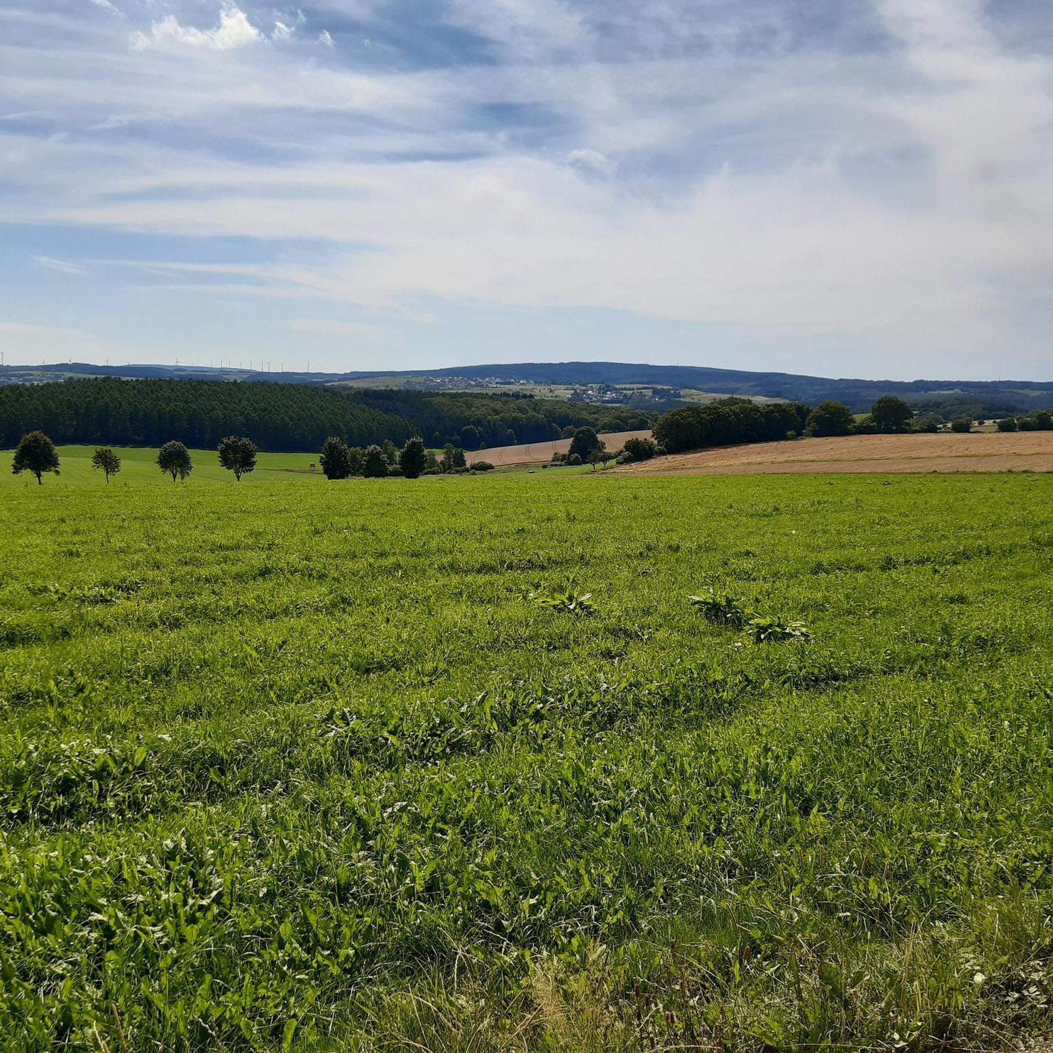
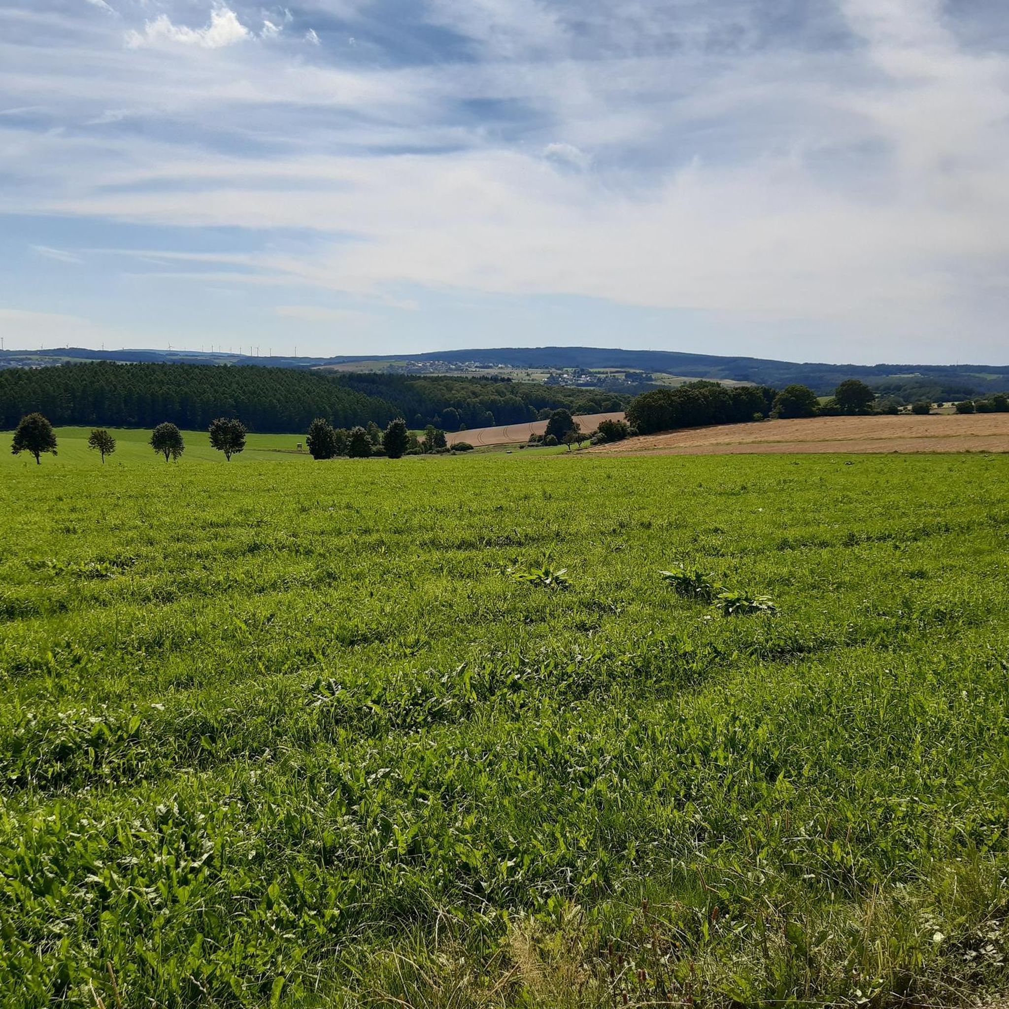
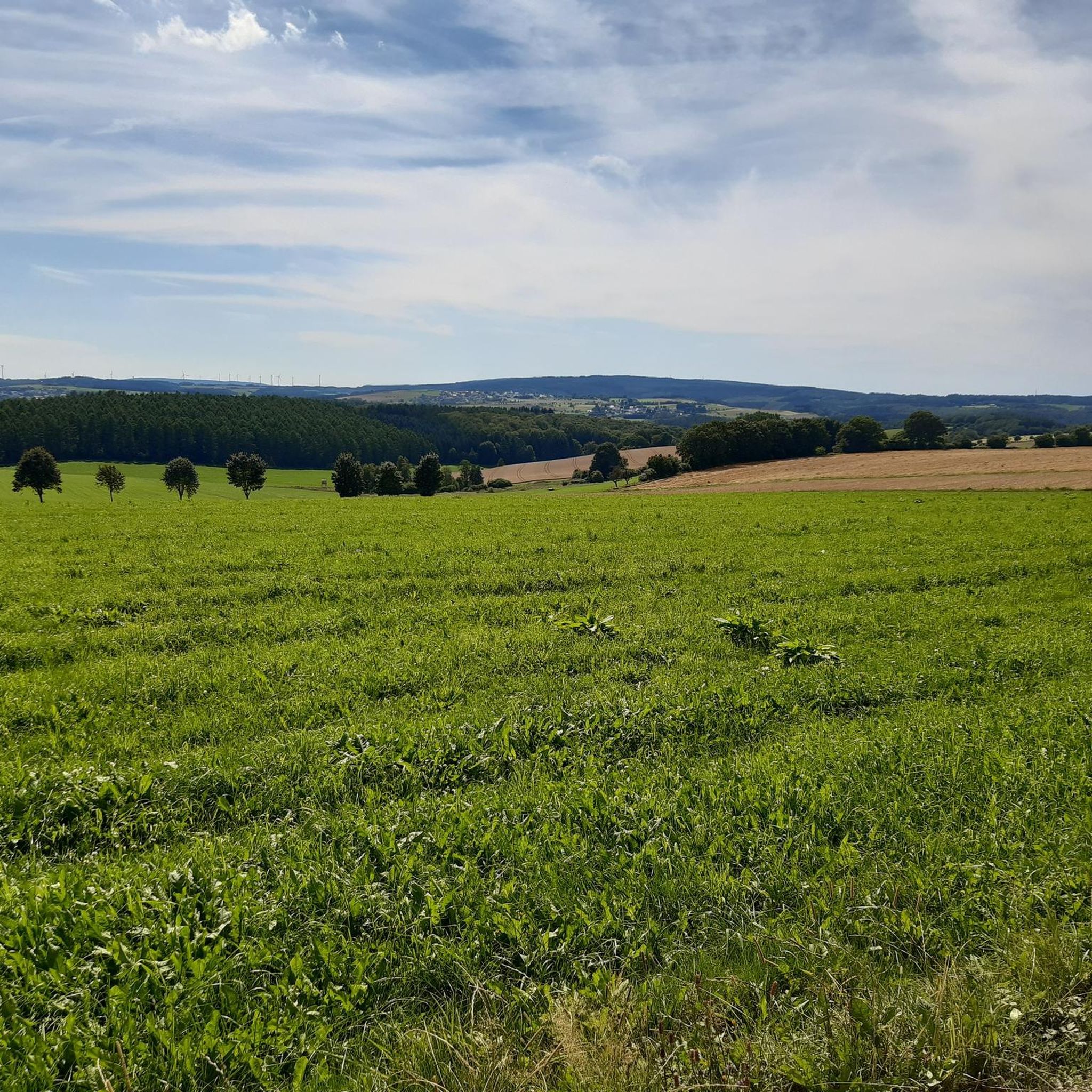
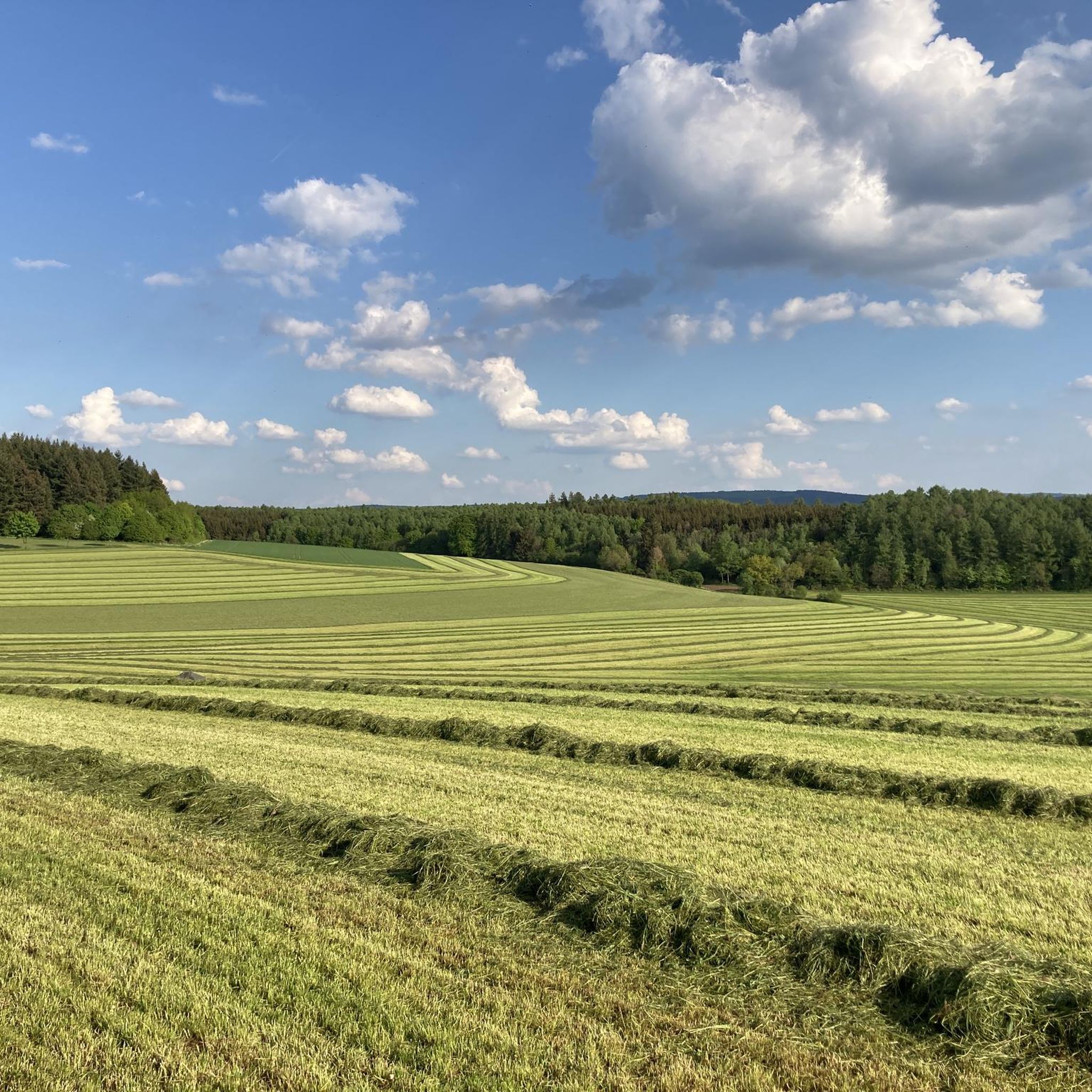
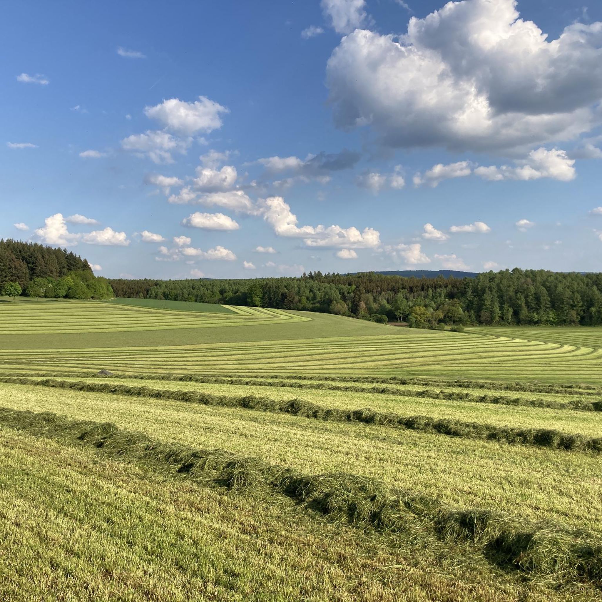
Gravel biking around Talling offers routes through a landscape characterized by dense forests, open meadows, and rolling hills. The region features varied terrain, including sections near river valleys, suggesting a mix of gradients and surfaces suitable for gravel bikes. Elevations on some routes indicate significant climbs, providing challenging options for riders. The area's natural features include extensive woodlands and agricultural lands, with some routes hinting at marshy sections.
Best gravel bike trails around Talling
- The most popular gravel bike trail…
Last updated: July 2, 2026
5.0
(3)
21
riders
44.0km
04:11
830m
830m
Hard gravel ride. Very good fitness required. You may need to push your bike for some segments of this route.
5.0
(3)
21
riders
43.5km
04:11
860m
860m
Hard gravel ride. Very good fitness required. You may need to push your bike for some segments of this route.

Sign up for free
3
riders
39.3km
03:26
670m
670m
Hard gravel ride. Very good fitness required. You may need to push your bike for some segments of this route.
9
riders
42.8km
03:17
880m
880m
Hard gravel ride. Very good fitness required. Mostly paved surfaces. Suitable for all skill levels.
5.0
(2)
10
riders
16.8km
01:12
360m
360m
Moderate gravel ride. Good fitness required. Mostly paved surfaces. Suitable for all skill levels.
Get access to more routes and recommendations from other explorers.
Sign up for free
Already have an account?
Our route recommendations are based on thousands of hikes, rides, and runs completed by other people on komoot.
Start today with a free account
Your next adventure awaits.
Login or Signup
Tips from the Community

Unfortunately, the restaurant is closed.
1
0
Very, very beautiful view of the Moselle.
0
0

It's nice to sit in the shade and empty the fridge (soft drinks, beer, wine)
2
0
This is one of the three "pleasure stations" along the trail. Soft drinks, beer, and wine can be purchased from the refrigerator on a trust basis. The tower is the only one that can be climbed; the rest of the building houses the forestry office.
2
0

The altitude is always worth it ☀️
1
0

A beautiful view over the Moselle loop. You can't get this view from the road, but rather by taking the panoramic path a little below...
0
0

🏰 Dhronecken Castle – History along the way An impressive site that demonstrates just how much history lies in this region. The castle is quietly situated, a little off the beaten track, but with a clear presence. Perfect for a quick detour, a photo – or simply a moment to wonder what it was like here in the past.
2
1

Great view over the Moselle valley.
0
0
Frequently Asked Questions
What kind of terrain can I expect on gravel bike trails around Talling?
The gravel bike trails around Talling feature a diverse landscape, including dense forests, open meadows, and rolling hills. You'll encounter varied terrain, with sections near river valleys and agricultural lands, and some routes even hint at marshy areas. Expect a mix of gradients and surfaces suitable for gravel bikes, with some routes involving significant climbs.
Are there many challenging gravel bike routes in the Talling area?
Yes, the Talling area offers a good selection of challenging gravel bike routes. Out of the 24 available tours, 18 are rated as difficult, providing plenty of options for experienced riders looking for a demanding ride with significant elevation gains. For example, the Forest Meadows Wacken Tour is a difficult 44 km route with over 830 meters of elevation gain.
Are there any easier or moderate gravel bike trails for beginners or families?
While many routes are challenging, there are also moderate options available. Six of the 24 gravel bike tours around Talling are rated as moderate. These routes offer a less strenuous experience while still allowing you to enjoy the region's natural beauty. For example, the Josefskapelle – View of the Moselle Valley loop from Trittenheim is a moderate 16.8 km route.
What do other gravel bikers say about the trails around Talling?
The gravel bike trails around Talling are highly rated by the komoot community, with an average score of 4.69 stars from over 14 reviews. Riders often praise the varied terrain, the mix of forest and meadow landscapes, and the challenging climbs that make for a rewarding experience. Over 160 gravel bikers have used komoot to explore this region.
Are there any circular gravel bike routes in Talling?
Yes, many of the gravel bike routes around Talling are designed as loops, allowing you to start and end your ride in the same location. For instance, the popular Forest Wind Expanse is a 39.3 km circular trail that takes you through expansive forest areas and open stretches.
What kind of natural features or landmarks can I see along the gravel bike trails?
The trails around Talling offer views of dense forests, open meadows, and river valleys. You can also explore notable landmarks and natural attractions. Highlights include the Erbeskopf, the highest point in Rhineland-Palatinate, the dramatic Hölzbach Gorge, and the historic Ruins of Hunolstein Castle. The region also features several interesting caves like the Schinderhannes Cave.
Are there any routes that offer views of the Moselle Valley?
Yes, some routes provide stunning views of the Moselle Valley. For example, the Five Lakes View Tower – View of the Moselle Valley loop from Trittenheim is a difficult 42.8 km route that offers panoramic vistas. You can also visit the Moselkino Viewpoint for scenic views.
Are there any marshland sections on the gravel bike trails?
Yes, some routes around Talling incorporate marshland sections, adding to the diversity of the riding experience. The Forest, meadow and marsh Tour is a difficult 43.5 km path specifically designed to feature a mix of wooded areas, open meadows, and marshland.
What is the best time of year for gravel biking around Talling?
Given the region's dense forests and varied terrain, spring and autumn are generally excellent times for gravel biking around Talling. The milder temperatures and vibrant foliage (or blooming nature) enhance the scenic beauty. Summer can also be pleasant, especially in the shaded forest sections, but be mindful of potential heat. Winters might offer unique experiences but can be challenging due to colder temperatures and possibly snow or ice on trails.
Are there any long-distance gravel bike routes in the Talling area?
The Talling area features several routes that are well-suited for longer rides. Many of the difficult trails are around 40-44 km in length, such as the Forest Meadows Wacken Tour (44 km) and the Forest, meadow and marsh Tour (43.5 km), providing substantial distances for a full day out on the bike.
Most popular attractions around Talling

Get inspired with the komoot mobile app


Explore more
Browse the best Gravel rides in other regions.
