The best gravel rides around Göllheim
4.9
(22)
73
riders
32
rides
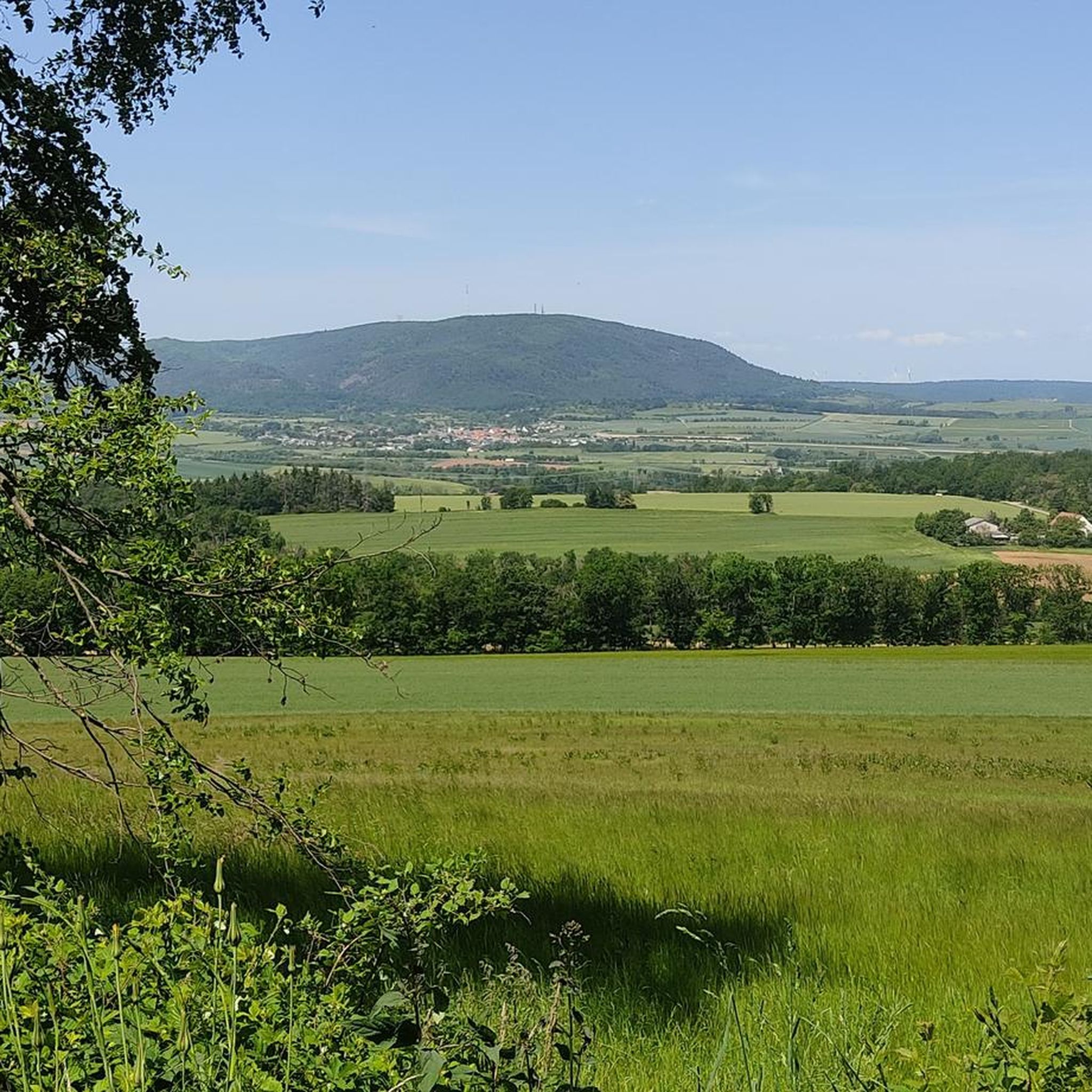
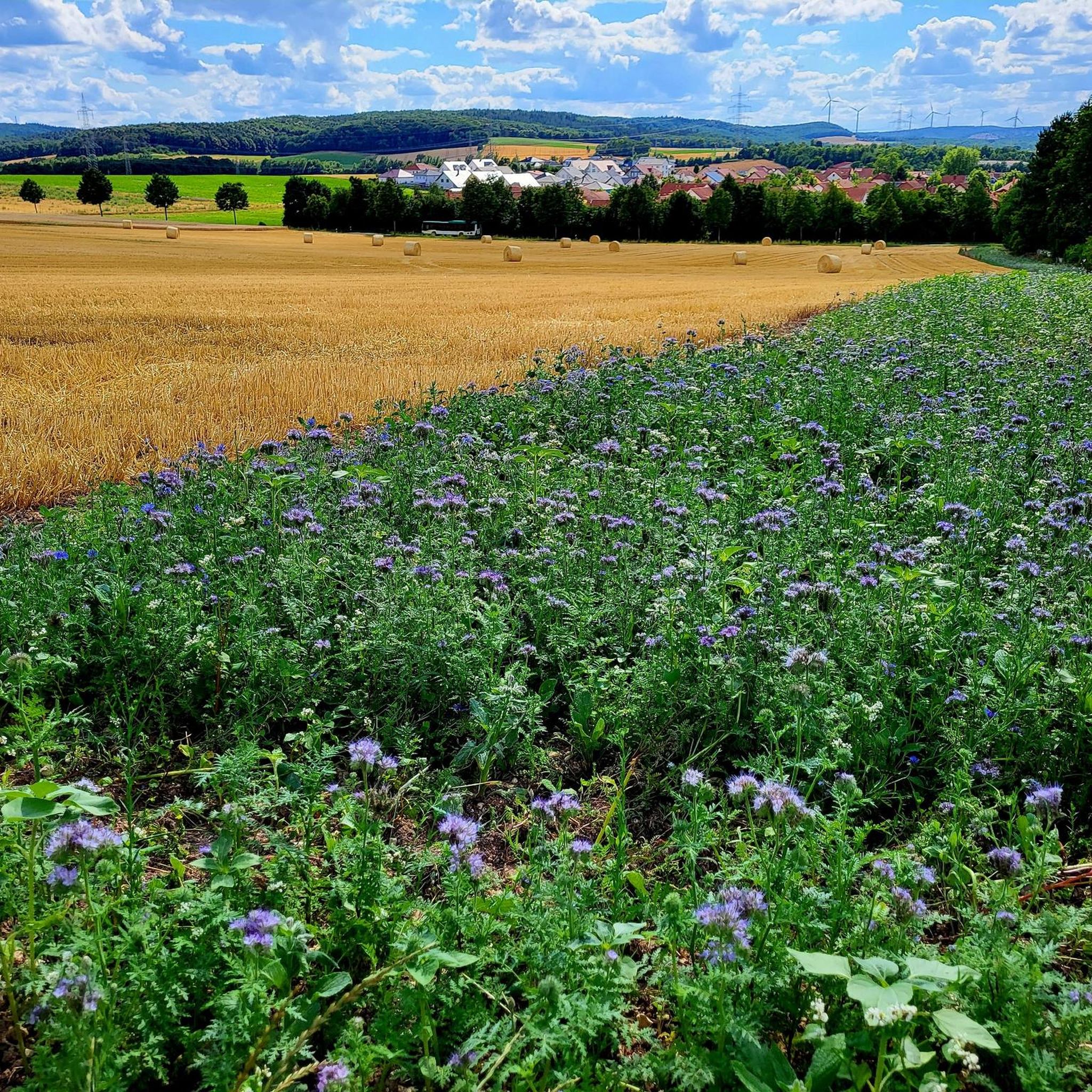
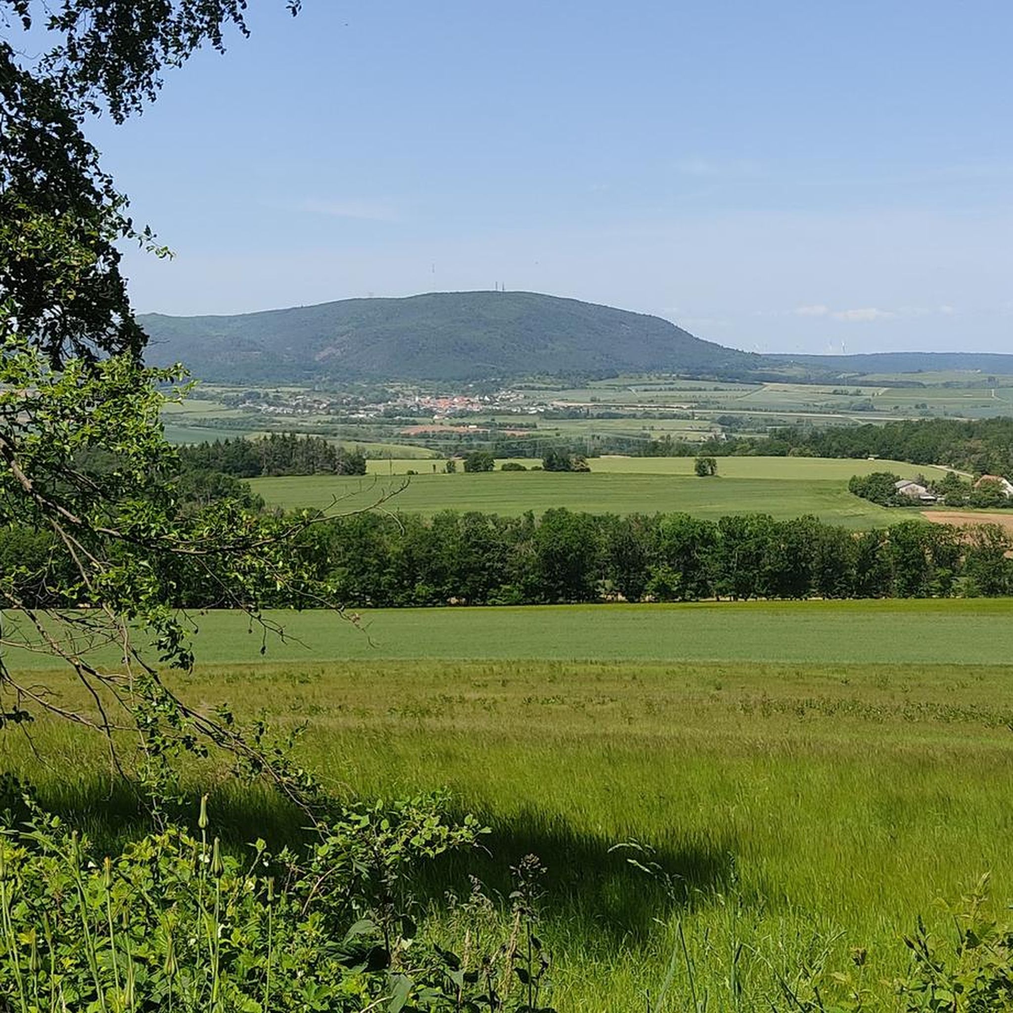
Gravel biking around Göllheim offers diverse terrain at the foot of the Donnersberg, the highest mountain in Rhineland-Palatinate. The region features a landscape of rolling hills, dense forests like the Göllheimer Wald, and proximity to the Palatinate Forest. Riders can expect a mix of gravel paths, forestry roads, and some asphalt sections, providing varied surfaces for exploration. This area is characterized by its natural features and elevation changes, making it suitable for gravel biking.
Best gravel bike trails around Göllheim
…Last updated: July 3, 2026
5.0
(3)
9
riders
39.4km
03:00
660m
660m
Hard gravel ride. Very good fitness required. Mostly paved surfaces. Suitable for all skill levels.
4.8
(4)
6
riders
Moderate gravel ride. Good fitness required. Mostly paved surfaces. Suitable for all skill levels.

Sign up for free
4.8
(4)
6
riders
Moderate gravel ride. Good fitness required. Mostly paved surfaces. Suitable for all skill levels.
5
riders
46.4km
03:00
660m
660m
Hard gravel ride. Very good fitness required. Mostly paved surfaces. Suitable for all skill levels.
7
riders
Moderate gravel ride. Good fitness required. Mostly paved surfaces. Suitable for all skill levels.
Get access to more routes and recommendations from other explorers.
Sign up for free
Already have an account?
Our route recommendations are based on thousands of hikes, rides, and runs completed by other people on komoot.
Start today with a free account
Your next adventure awaits.
Login or Signup
Other adventures around Göllheim

Tips from the Community

you automatically drive through when you go to Imsbach
0
0

We ate very good regional dishes here at fair prices.
0
0
nice place for a break
0
0
great place to stop for refreshments https://www.retzberghuette.de/
0
0
Frequently Asked Questions
How many gravel bike trails are available around Göllheim?
The Göllheim region offers a wide selection of gravel biking routes, with over 50 trails available for exploration. These routes cater to various skill levels, from moderate paths to more challenging climbs.
What kind of terrain can I expect on gravel bike trails near Göllheim?
Gravel biking around Göllheim offers diverse terrain, combining rolling hills, dense forests like the Göllheimer Wald, and the dramatic backdrop of the Donnersberg. You'll encounter a mix of gravel paths, forestry roads, and some asphalt sections, providing varied surfaces perfect for gravel bikes.
Are there challenging gravel bike routes for experienced riders in Göllheim?
Yes, for experienced riders seeking a challenge, the region offers several difficult routes with significant elevation changes. For example, the Steinbacher Pond – Keiperweg loop from Kirchheimbolanden is a difficult 24.5-mile (39.4 km) trail with substantial climbs. Another demanding option is the View of Donnersberg – Appelbach Cycle Path loop from Göllheim-Dreisen, which also features considerable elevation.
Are there any moderate gravel biking options suitable for a less strenuous ride?
Absolutely. Many routes around Göllheim are classified as moderate, offering scenic rides without extreme difficulty. A popular choice is the Lake Eiswoog and Viaduct – Eistal Viaduct (Eistalviadukt) loop from Ramsen, a 21.9-mile (35.3 km) path that provides scenic views of the lake and viaduct on mixed gravel and forest paths.
What is the best time of year for gravel biking in the Göllheim region?
The Göllheim region is generally pleasant for gravel biking from spring through autumn. The extensive network of forestry and service roads makes it accessible for much of the year. While winter conditions can vary, the varied terrain is best enjoyed when trails are dry and clear of snow or heavy mud.
Is parking available for gravel bikers in Göllheim?
Yes, parking is generally available in and around Göllheim, especially near trailheads or in the villages that serve as starting points for many routes. Specific parking information can often be found on individual route pages on komoot or local tourism websites.
Can I reach the Göllheim gravel trails using public transport?
While Göllheim itself has some public transport connections, accessing specific trailheads directly by public transport with a bike might require some planning. It's advisable to check local bus and train schedules, especially for routes connecting to smaller villages or more remote starting points, to ensure bike transport is permitted and convenient.
Are there family-friendly gravel bike routes around Göllheim?
While many gravel routes involve varied terrain and elevation, some sections or shorter loops might be suitable for families with older children or those comfortable with mixed surfaces. For a more gentle outdoor experience, the region also offers options like the 'Göllheim - Dachsi Trail,' which is a short hiking experience with natural forest features, though not specifically a gravel bike route.
What interesting landmarks or natural features can I see along the gravel bike trails?
The gravel trails around Göllheim offer access to several notable landmarks and natural features. You can explore the dramatic slopes of the Donnersberg, the highest mountain in Rhineland-Palatinate, or ride through the serene Göllheimer Wald. Highlights include the Hirtenfels Viewpoint, offering panoramic views, and the tranquil Retzberg Pond at Sippersfeld Pond. For those interested in history, the Iron Gate and the White Mine — Visitor Mine are also nearby.
Are there any loop trails for gravel biking in Göllheim?
Yes, many of the gravel bike routes in Göllheim are designed as loops, allowing you to start and end at the same point. Examples include the Steinbacher Pond – Keiperweg loop from Kirchheimbolanden and the Lake Eiswoog and Viaduct – Eistal Viaduct (Eistalviadukt) loop from Ramsen, providing convenient circular journeys.
What do other gravel bikers enjoy the most about gravel biking in Göllheim?
The gravel biking experience in Göllheim is highly rated by the komoot community, with an average score of 4.9 stars. Reviewers often praise the diverse terrain, the scenic beauty of the Donnersberg region, and the extensive network of gravel and forestry roads that allow for varied and adventurous rides away from car traffic.
Are there places to stop for refreshments or accommodation near the gravel trails?
Yes, the Göllheim region offers various options for refreshments and accommodation. You'll find cafes and pubs in Göllheim and surrounding villages. Additionally, there are huts and nature friends' houses like the Kupferberg Hut and Rahnenhof Naturefriends House, which can serve as good stopping points or even offer overnight stays for cyclists.
Most popular attractions around Göllheim

Get inspired with the komoot mobile app


Explore more
Browse the best Gravel rides in other regions.
