The best gravel rides around Rumbach
4.7
(144)
810
riders
85
rides
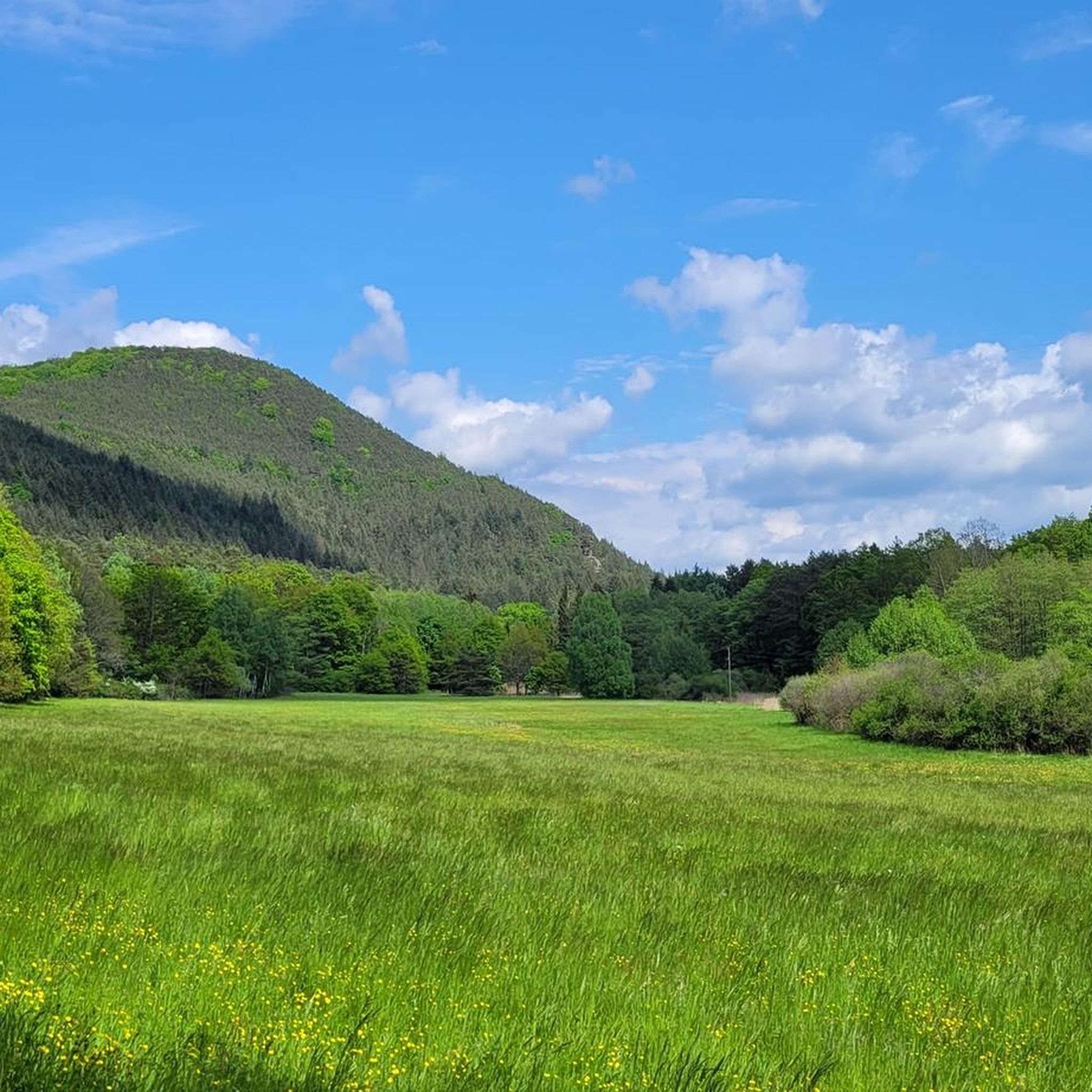
Gravel biking around Rumbach offers a diverse landscape characterized by dense woodlands, rolling hills, and scenic river valleys. The region features varied terrain, from established cycle paths to more challenging forest tracks, providing both rewarding climbs and descents. This area is part of the Palatinate Forest, known for its red sandstone formations and extensive natural beauty, making it ideal for exploring on two wheels.
Best gravel bike trails around Rumbach
- The most popular gravel bike trail is Drachenfels Castle near Busenberg – Berwartstein Castle loop from Dahn Süd, a 27.0 miles (43.5 km) trail that takes 2 hours 49 minutes to complete. This route features historic castles and varied forest paths.
- Another top favourite among local gravel bikers is Moosbach Valley – Wieslautertal Cycle Path loop from Dahn, a moderate 20.0 miles (32.2 km) path. This trail navigates through tranquil stream valleys and past scenic water bodies.
- Local gravel bikers also love the Wolfsägertal Ponds – Moosbach Valley loop from Fischbach bei Dahn, a 19.0 miles (30.7 km) trail leading through forested areas and past ponds, often completed in about 2 hours.
- Gravel biking around Rumbach is defined by forested hills, river valleys, and historic ruins such as Gräfenstein Castle. The network offers options for easy, moderate, and difficult routes, catering to various skill levels.
- The routes in Rumbach are highly rated by the komoot community with an average score of 4.6 stars from over 40 reviews. More than 300 gravel bikers have used komoot to explore Rumbach's varied terrain.
Last updated: July 2, 2026
4.4
(16)
64
riders
45.8km
03:02
720m
720m
Hard gravel ride. Very good fitness required. Mostly paved surfaces. Suitable for all skill levels.
4.8
(19)
62
riders
32.2km
01:53
370m
370m
Moderate gravel ride. Good fitness required. Mostly paved surfaces. Suitable for all skill levels.

Sign up for free
5.0
(7)
45
riders
66.4km
04:07
850m
850m
Hard gravel ride. Very good fitness required. Mostly paved surfaces. Suitable for all skill levels.
4.7
(23)
115
riders
45.6km
02:46
520m
520m
Hard gravel ride. Very good fitness required. Mostly paved surfaces. Suitable for all skill levels.
5.0
(7)
28
riders
32.0km
01:47
290m
290m
Moderate gravel ride. Good fitness required. Mostly paved surfaces. Suitable for all skill levels.
Get access to more routes and recommendations from other explorers.
Sign up for free
Already have an account?
Our route recommendations are based on thousands of hikes, rides, and runs completed by other people on komoot.
Start today with a free account
Your next adventure awaits.
Login or Signup
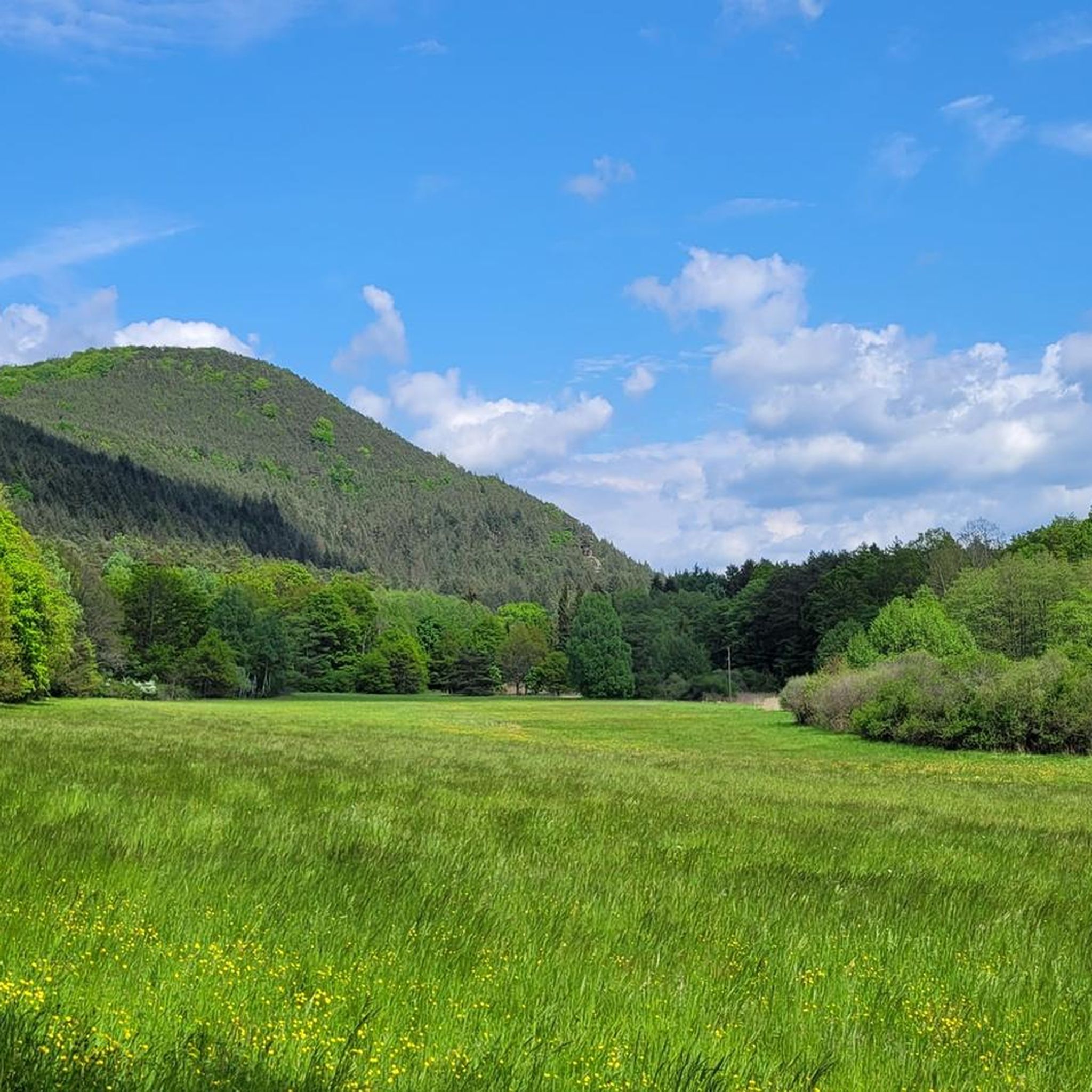
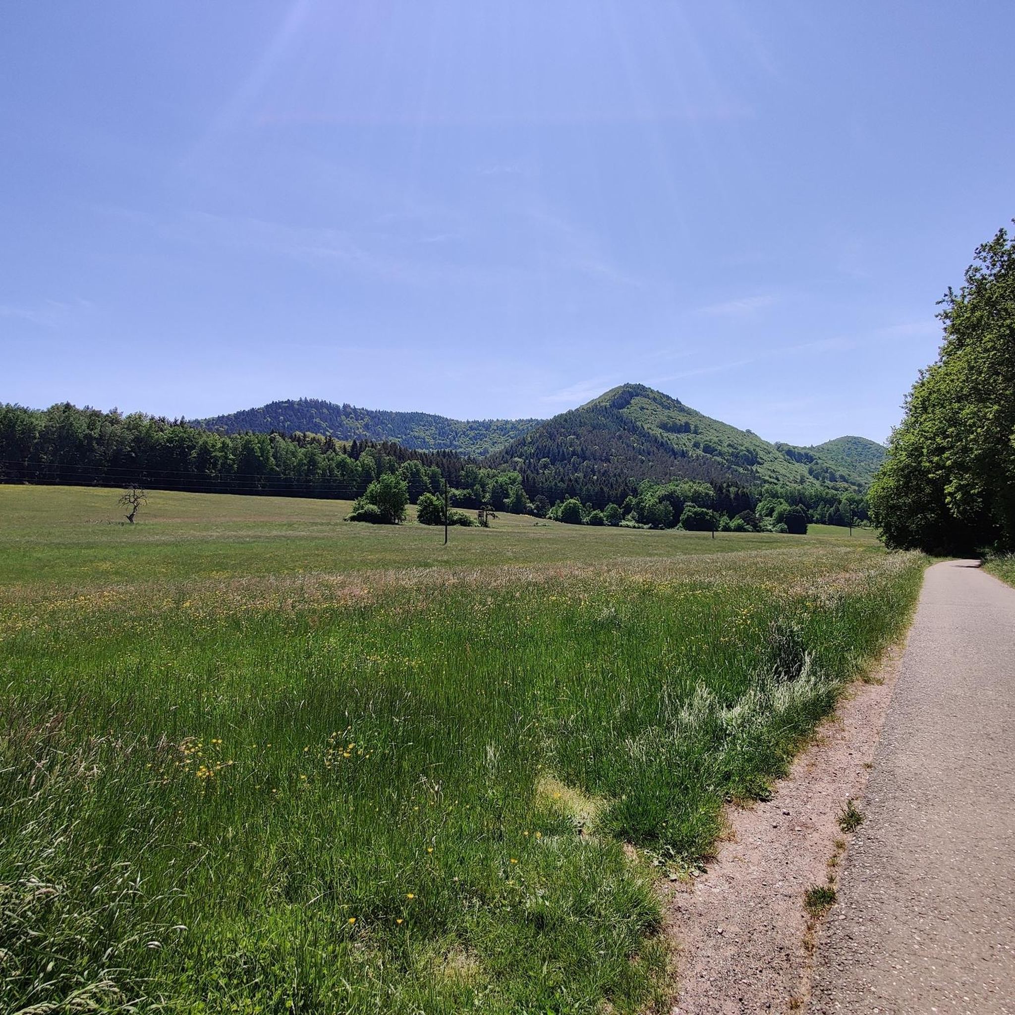
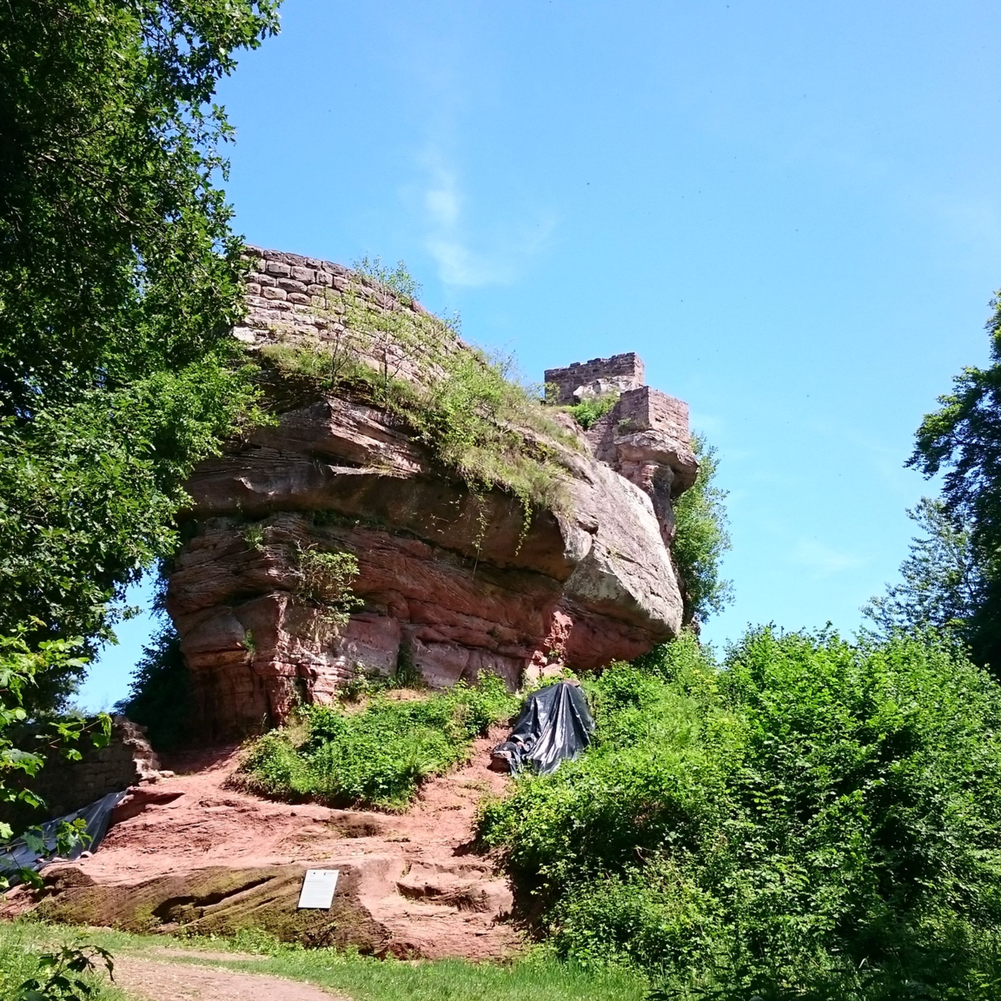
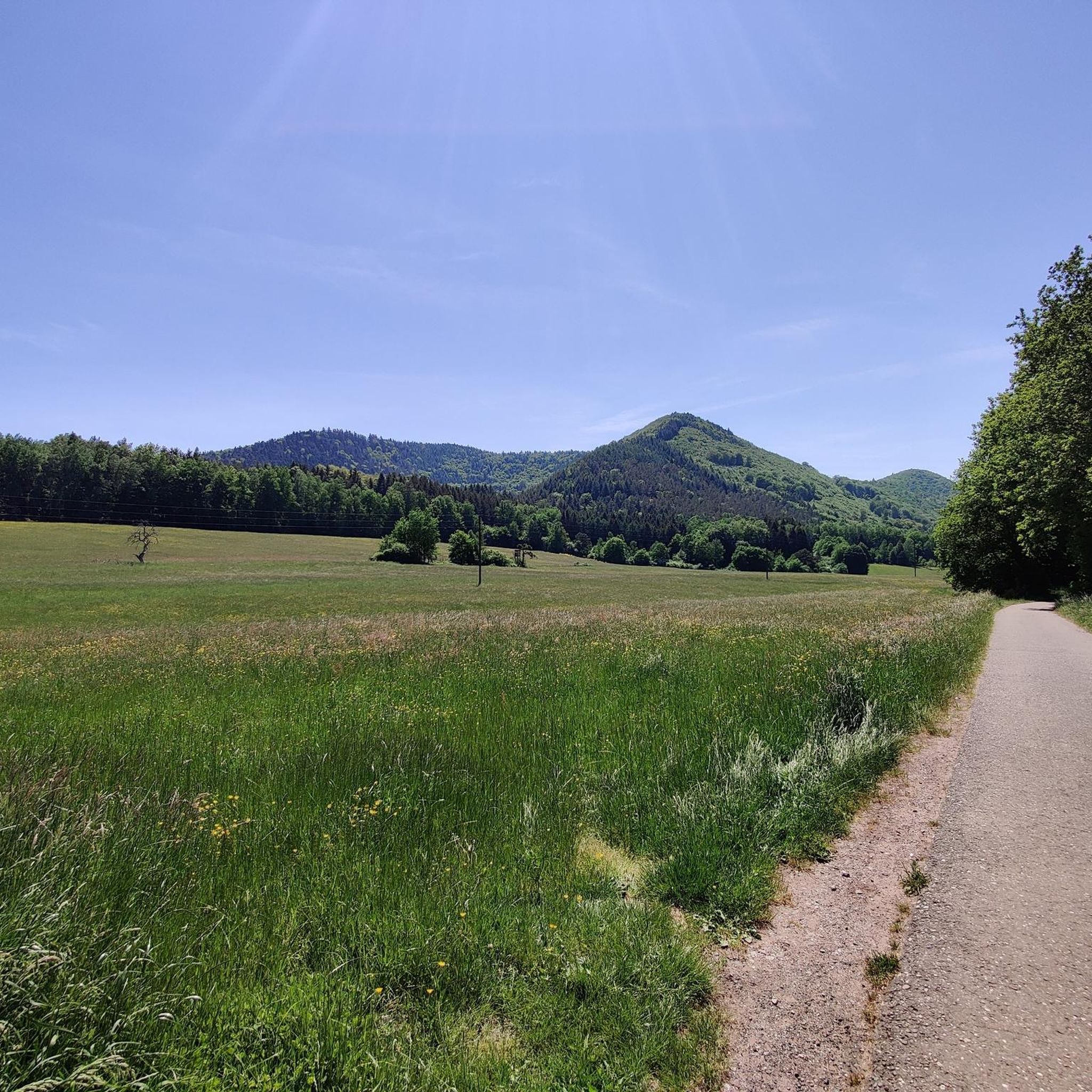
Tips from the Community

Along the Lauter there are many alleys and paths that repeatedly offer beautiful views of the river and the half-timbered houses of the old town of Wissembourg.
3
0

The Jungfernsprung. An imposing viewing rock and visible from afar.
2
0

Cool rock formation in the Dahner Felsenland.
1
0

From this spot you can see the ruins of Lindelbrunn.
0
0

It's worth taking a look at the Lauter from the many bridges. The perspectives are always different.
8
0

Komoot seems to have thrown together a few highlights. It's best to withdraw your photos. Mine was originally titled "View of the Jungfernsprung."
0
0

Ms. Fath is, of course, right: That's the Jungfernsprung in Dahn! Lug, and thus also the Luger Geiersteine, are 29 km away from the Jungfernsprung by car, 13 km by bike, and 11.5 km on foot, and are also located in a different municipality.
0
0

In Dahn, it's impossible to see the Luger Geiersteine! It must be called Jungfernsprung.
1
0
Frequently Asked Questions
How many gravel bike trails are available around Rumbach?
Rumbach offers a wide selection of gravel biking routes, with over 100 trails documented on komoot. These range from easy to difficult, catering to various skill levels.
Are there any easy gravel bike trails suitable for beginners or families in Rumbach?
Yes, Rumbach has a few easier gravel bike trails. While many routes feature significant elevation, there are 3 designated easy tours. These are generally shorter and less demanding, making them suitable for beginners or family outings. Look for routes with lower elevation gain and shorter distances.
What kind of terrain can I expect on gravel bike trails in Rumbach?
The terrain around Rumbach is diverse, characterized by dense woodlands, rolling hills, and scenic river valleys. You'll encounter a mix of established cycle paths and more challenging forest tracks. Expect varied surfaces and significant elevations, providing rewarding climbs and descents throughout the Palatinate Forest.
Are there any circular gravel bike routes in the Rumbach area?
Many of the gravel bike routes around Rumbach are designed as loops, allowing you to start and finish at the same point. For example, the Lauter Cycle Path – View of the Lauter loop from Dahn offers expansive views of the Lauter valley in a circular format.
What are some scenic viewpoints or natural attractions along the gravel trails in Rumbach?
The Rumbach region, part of the Palatinate Forest, is rich in natural beauty. You can discover unique sandstone formations like Swallows' Rock, the Rock Passage Near Büttelfelsen, and the distinctive Bride and Groom Rock Formations. Many trails offer panoramic views of the valleys and forests.
Are there any routes that pass by lakes or water bodies in Rumbach?
Yes, several routes incorporate scenic water bodies. The Lake Silz – View of the Lauter loop from Busenberg-Schindhard trail, for instance, navigates through forested areas and past beautiful lakes. You can also find highlights like Seehofweiher and Sägmühl Pond near various routes.
What is the best season for gravel biking in Rumbach?
The Palatinate Forest around Rumbach is enjoyable for gravel biking throughout much of the year. Spring and autumn offer pleasant temperatures and vibrant scenery, with autumn foliage being particularly beautiful. Summer can be warm but the shaded forest trails provide relief. Winter riding is possible, but be prepared for potentially wet or icy conditions on some tracks.
Are there any historical landmarks or castles accessible by gravel bike in Rumbach?
Yes, the region is dotted with historic ruins. The Gräfenstein Castle Ruins – Drachenfels Castle near Busenberg loop from Bundenthal-Rumbach is a notable route that takes you past significant historical sites, including the impressive Gräfenstein Castle.
What do other gravel bikers enjoy most about the trails in Rumbach?
The gravel biking routes in Rumbach are highly rated by the komoot community, with an average score of 4.7 stars from over 100 reviews. Riders often praise the diverse terrain, the extensive network of trails through the Palatinate Forest, and the rewarding climbs and descents that offer stunning views.
Are there longer, more challenging gravel routes for experienced riders?
Absolutely. Rumbach is known for its more demanding routes, with 72 out of 106 tours rated as difficult. These trails often feature significant elevation changes and longer distances, such as the Col du Pigeonnier – View of the Lauter loop from Ludwigswinkel, which covers over 60 km with substantial climbing, perfect for experienced gravel bikers.
Are there any gravel routes that pass by cafes or places to stop for refreshments?
While specific cafes directly on every trail are not guaranteed, many routes pass through or near villages and towns where you can find refreshment stops. Planning your route with komoot allows you to identify potential stops along the way, especially in larger towns like Dahn or Busenberg.
What is the typical distance range for gravel bike trails in Rumbach?
Gravel bike trails in Rumbach vary significantly in length. You can find shorter routes, such as the Wolfsägertal Ponds – Moosbach Valley loop from Fischbach bei Dahn at just over 30 km, up to longer, more challenging tours exceeding 60 km, like the Lake Silz – View of the Lauter loop from Busenberg-Schindhard.
Most popular routes around Rumbach
Most popular attractions around Rumbach

Get inspired with the komoot mobile app


Explore more
Browse the best Gravel rides in other regions.
