The best gravel rides around Oberweiler-Tiefenbach
4.5
(8)
38
riders
5
rides
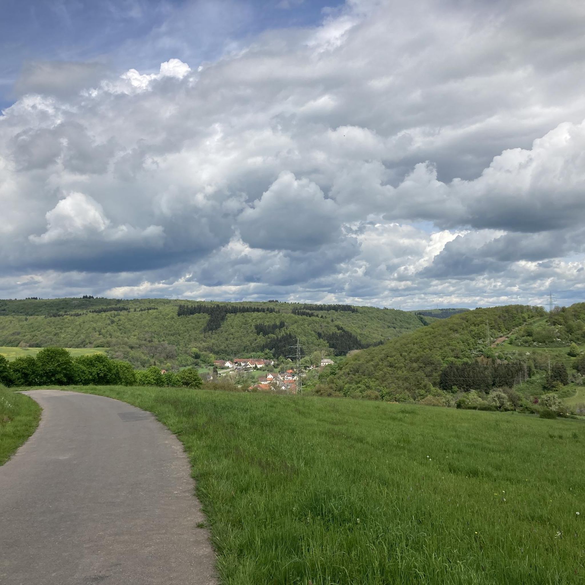
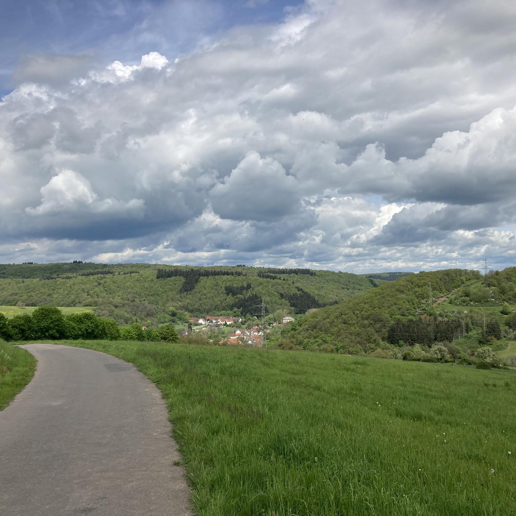
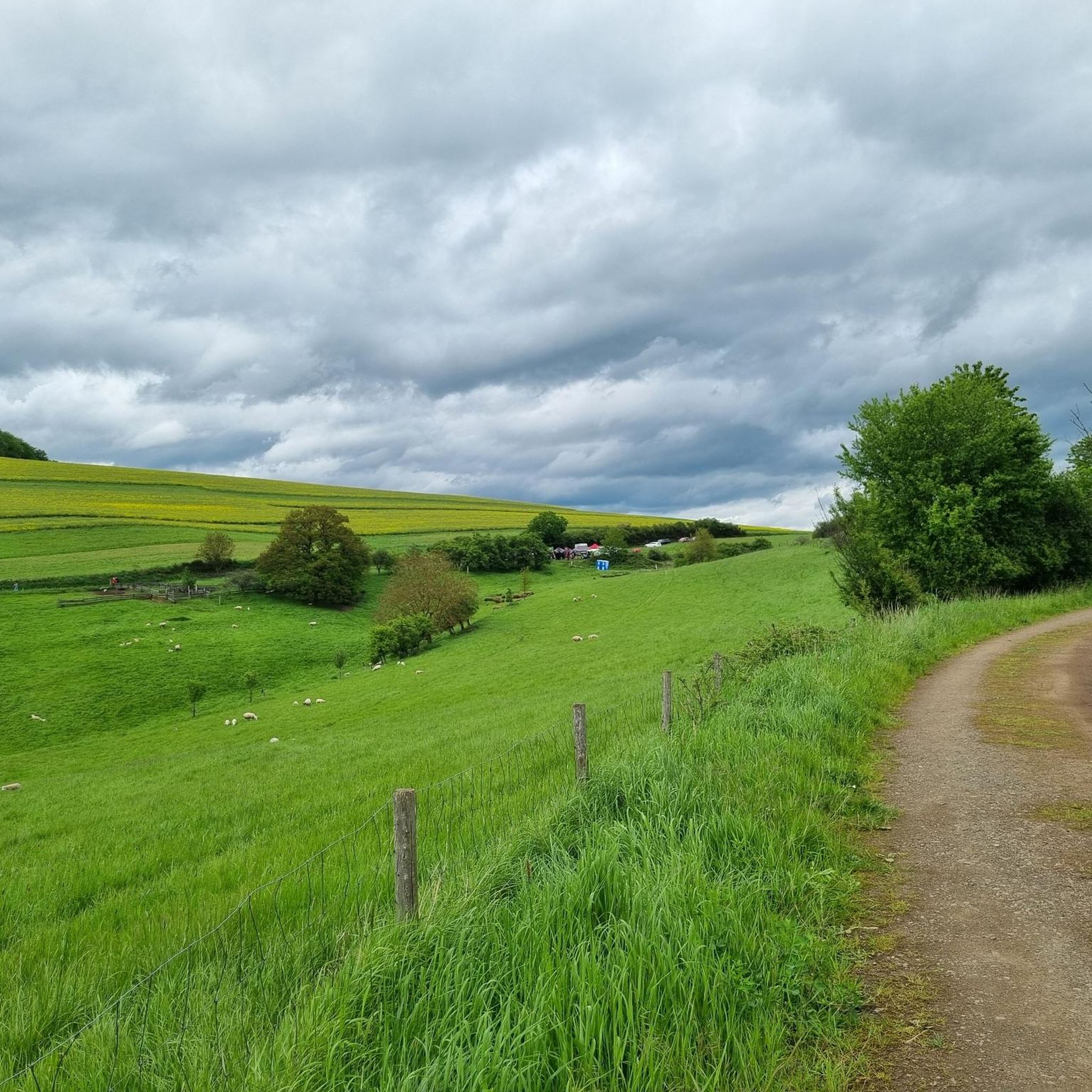
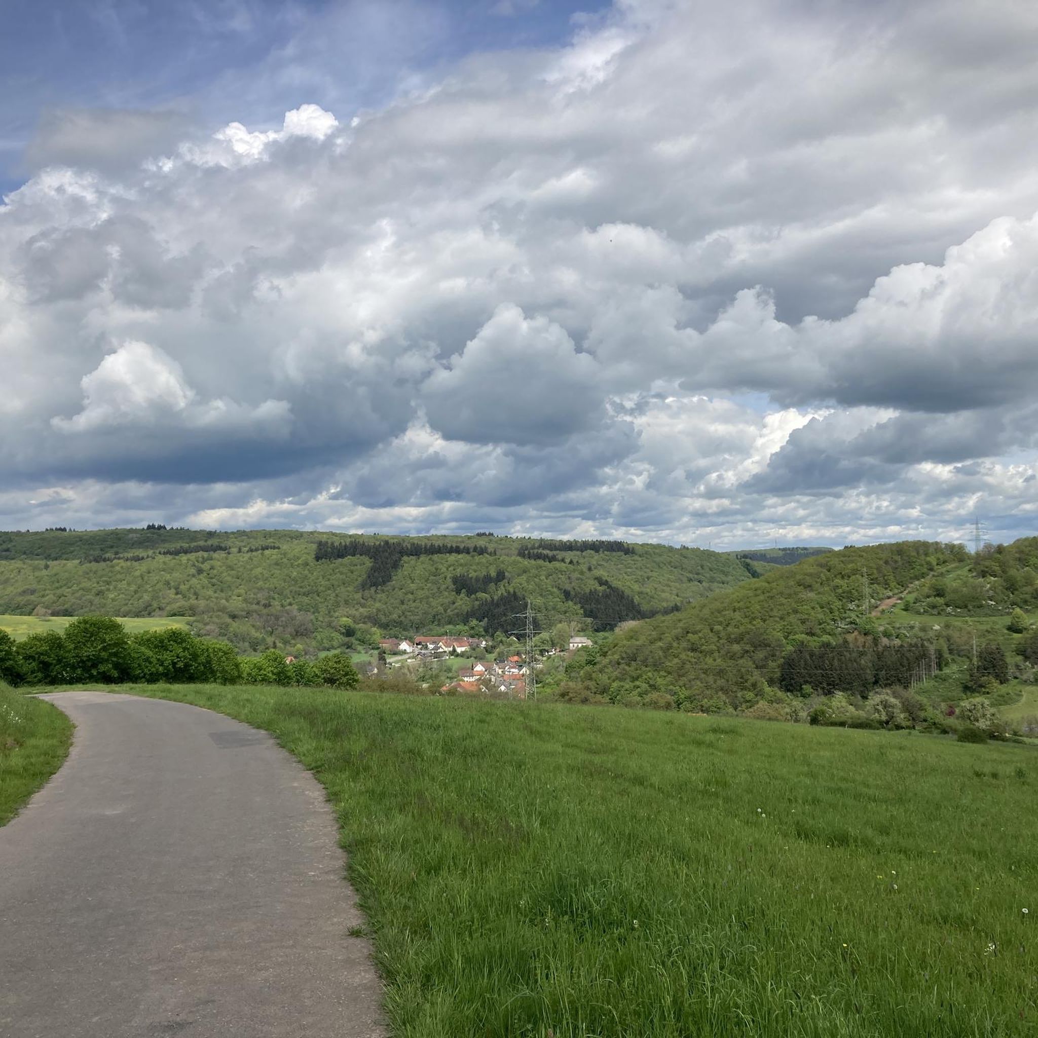
Gravel biking around Oberweiler-Tiefenbach offers diverse terrain within the North Palatine Uplands, characterized by a mix of hills, forests, and river valleys. The region's topography includes features like the Eichelberg, reaching approximately 370 meters, and the Lauter river, which shapes the local landscape. Riders can expect routes that combine asphalt and gravel paths, providing varied surfaces for exploration. The area features dense forests such as Jungwald and Steinwald, alongside rolling hills, creating a dynamic environment suitable for gravel cycling.
Best…
Last updated: October 11, 2026
4.5
(6)
21
riders
Moderate gravel ride. Good fitness required. Mostly paved surfaces. Suitable for all skill levels.
2
riders
32.3km
02:29
650m
650m
Hard gravel ride. Very good fitness required. Mostly paved surfaces. Suitable for all skill levels.

5.0
(1)
3
riders
21.9km
01:19
220m
220m
Moderate gravel ride. Good fitness required. Mostly paved surfaces. Suitable for all skill levels.
2
riders
61.5km
03:50
570m
570m
Hard gravel ride. Very good fitness required. Mostly paved surfaces. Suitable for all skill levels.
2
riders
48.0km
03:22
1,000m
1,000m
Hard gravel ride. Very good fitness required. Mostly paved surfaces. Suitable for all skill levels.
Our route recommendations are based on thousands of hikes, rides, and runs completed by other people on komoot.
Start today with a free account
Your next adventure awaits.

Tips from the Community


very good bike path
0
0
super bike path in the shade
0
0


Terminal of the Lautertalbahn from Kaiserslautern main station to here.
2
0

Directly on the cycle path, seating area for breaks available, a place worth seeing.
1
1

A very beautiful, quiet spot in the middle of the forest. This spot can be found along the Musikantenweg (musician's path) between Schwedelbach and Reichenbach-Steegen. You can drive or hike to this intersection toward Erzenhausen, Pörrbach, or Reichenbach, or take the Höhenweg (high trail) to Kottweiler-Schwanden.
0
0
Frequently Asked Questions
How many gravel bike trails are available around Oberweiler-Tiefenbach?
There are 19 gravel bike trails listed around Oberweiler-Tiefenbach, offering a variety of experiences for different skill levels. These routes explore the diverse terrain of the North Palatine Uplands.
What kind of terrain can I expect on gravel bike routes in this region?
The region around Oberweiler-Tiefenbach is characterized by rolling hills, dense forests, and river valleys, particularly along the Lauter river. You can expect a mix of unpaved gravel paths and paved sections, providing varied surfaces for exploration. The topography, including features like the Eichelberg, ensures a dynamic cycling experience.
Are there any easy gravel bike routes suitable for beginners?
While many routes are moderate to difficult, there is at least one easy gravel bike route available. For those looking for a less challenging ride, consider exploring the flatter sections along the river valleys or shorter loops that avoid significant elevation gains.
Can I find longer gravel bike routes for advanced riders?
Yes, advanced riders can find challenging and longer routes. For example, the Vogelwoog Lake – Seewoog Miesenbach loop from Lohnweiler is a difficult 56.2-mile (90.4 km) trail that takes about 6 hours to complete, exploring a wider regional landscape with significant elevation changes.
Are there circular gravel bike routes available?
Many of the gravel bike routes around Oberweiler-Tiefenbach are designed as circular loops, allowing you to start and end at the same point. An example is the Otterberg–Otterbach Cycle Path – Otterberg Abbey Church loop from Roßbach (Pfalz), a moderate 25.0-mile (40.2 km) path.
What interesting landmarks or attractions can I see along the gravel bike trails?
The region offers several notable attractions. You can encounter historical sites like the Ruins of Neu-Wolfstein Castle and the Keep of Alt-Wolfstein Castle, both offering magnificent views. The Reiserberg Sundial also provides a 360° panoramic view. Additionally, the Glan Bridge and Nepomuk statue in Lauterecken mark the picturesque confluence of the Lauter and Glan rivers.
Are there places to stop for food or drinks along the routes?
While specific cafes or pubs directly on every route aren't detailed, the region around Oberweiler-Tiefenbach, including nearby towns like Lauterecken and Wolfstein, offers various options for refreshments and accommodation. The sundial on the Reiserberg even has a drinks station, making it a convenient stop.
Is gravel biking in Oberweiler-Tiefenbach suitable for families?
The region offers a mix of terrain, and while some routes are challenging, there are also easier sections and paths that could be suitable for families. Look for routes with less elevation gain and shorter distances, particularly those along river valleys, for a more family-friendly experience.
What do other gravel bikers say about the trails in Oberweiler-Tiefenbach?
The gravel biking routes in Oberweiler-Tiefenbach are highly rated by the komoot community, with an average score of 4.6 stars from 8 reviews. Over 70 gravel bikers have used komoot to explore the varied terrain, often praising the diverse landscapes and the mix of unpaved and paved sections.
What is the best time of year for gravel biking in the Palatinate region?
The Palatinate region, including Oberweiler-Tiefenbach, is generally enjoyable for gravel biking from spring through autumn. Spring offers blooming landscapes, while autumn provides vibrant foliage. Summer can be pleasant, but it's advisable to start early to avoid midday heat. Winter riding is possible but may require checking weather conditions for ice or snow on unpaved sections.
How can I access the gravel trails, and is parking available?
Access to the gravel trails is typically from various points within and around Oberweiler-Tiefenbach. While specific parking details for every trailhead are not listed, municipalities in the region generally provide public parking options. For routes starting in specific towns like Lohnweiler or Roßbach, you can usually find parking facilities nearby.
Are there any specific rules for cycling in the Palatinate Forest Nature Park?
When cycling within the broader Palatinate Forest Nature Park, it's generally important to respect nature, stay on marked paths, and be mindful of hikers and other outdoor enthusiasts. Specific rules regarding cycling on certain forest roads or trails might apply, so it's always good practice to look for local signage or consult regional tourism information if you plan to venture deep into protected areas.
Are there any routes that feature unpaved forest roads or scenic viewpoints?
Yes, many routes incorporate unpaved forest roads, which are a hallmark of gravel biking in this region. For scenic viewpoints, the Reiserberg Sundial offers a 360° panoramic view, and the ruins of Alt-Wolfstein and Neu-Wolfstein castles also provide excellent vistas of the surrounding hills and forests.
Most popular routes around Oberweiler-Tiefenbach
Most popular attractions around Oberweiler-Tiefenbach

Get inspired with the komoot mobile app


Explore more
Browse the best Gravel rides in other regions.
