The best gravel rides around Niedersohren
4.9
(8)
63
riders
27
rides
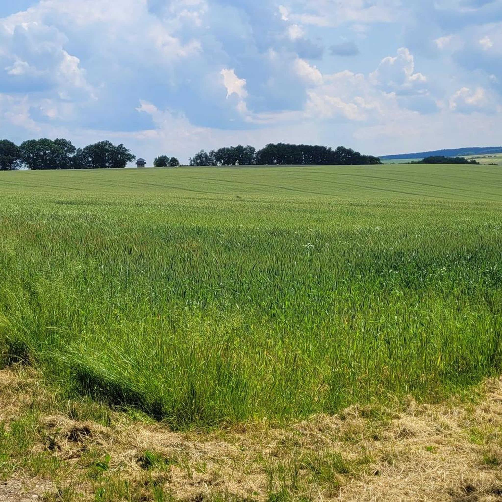
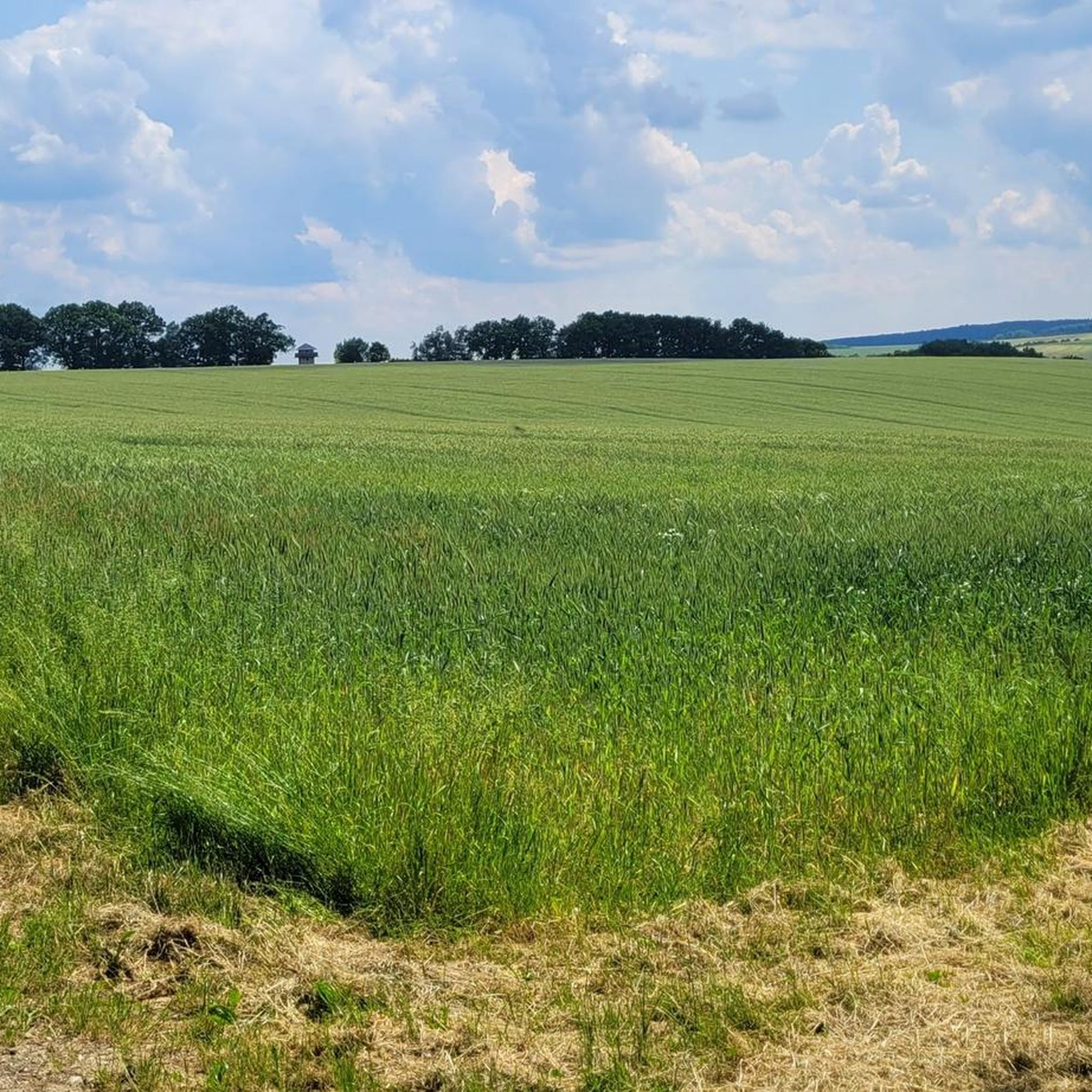
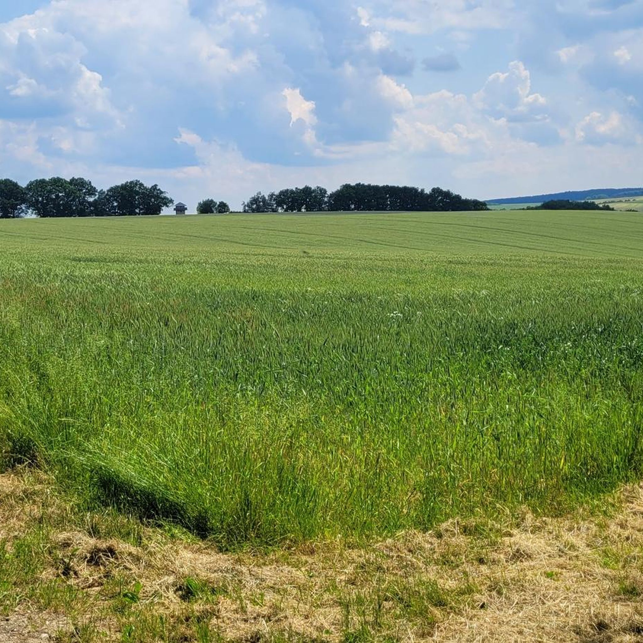
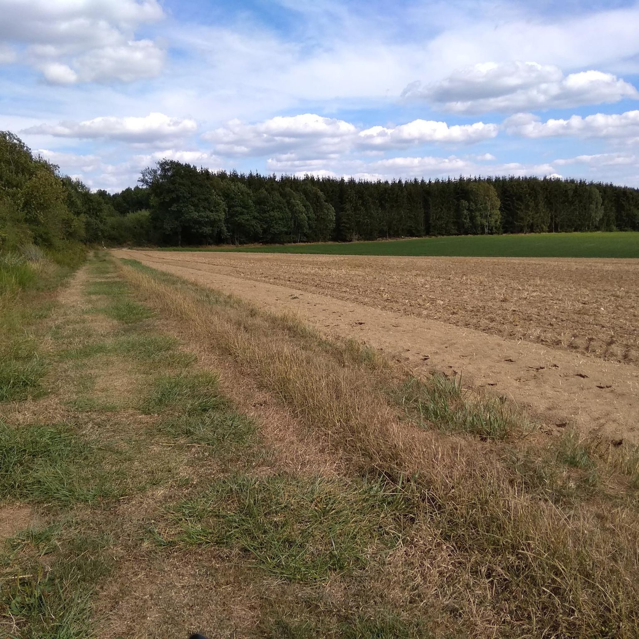
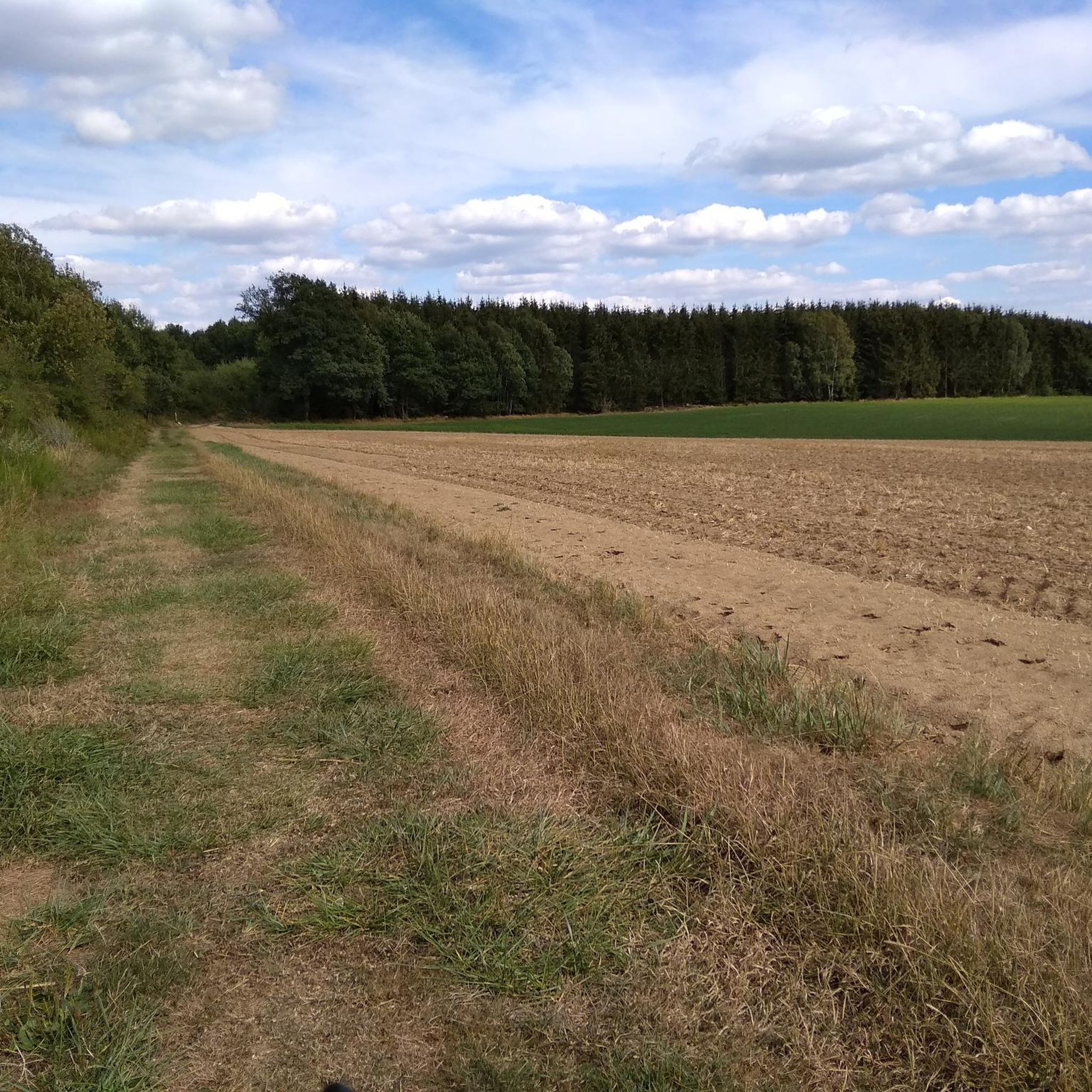
Gravel biking around Niedersohren offers diverse terrain within the central Hunsrück region of Rhineland-Palatinate, Germany. The area is characterized by the Sohrbach valley, surrounded by extensive wooded areas and a low mountain range. Gravel routes navigate through enchanted forests, gentle hills, and wild river valleys, providing varied riding experiences. This landscape provides a network of paths suitable for exploring the natural features of the Hunsrück-Nahe region.
Best gravel bike trails around Niedersohren
- The most popular gravel bike trail is View of Gemündener Castle – Schmiedel Tunnel (Simmern) loop from Dickenschied, a 45.7 miles (73.6 km) trail that takes 5 hours 7 minutes to complete. This difficult route features views towards Gemündener Castle and passes through the Schmiedel Tunnel.
- Another top favourite among local gravel bikers is Dill Castle Ruins – Shelter on the Ausonius Trail loop from Sohren, a moderate 21.2 miles (34.1 km) path. This route explores historical sites like Dill Castle Ruins and follows sections of the ancient Ausonius Trail.
- Local gravel bikers also love the Old grain mill – Kaisergarten Rest Area loop from Rhaunen, a 19.4 miles (31.2 km) trail leading through wooded areas and past points of interest like an old grain mill, often completed in about 2 hours 41 minutes.
- Gravel biking around Niedersohren is defined by enchanted forests, gentle hills, and wild river valleys. The network offers options for various ability levels, from moderate to difficult.
- The routes in Niedersohren are highly rated by the komoot community with an average score of 5.0 stars from 3 reviews. More than 20 gravel bikers have used komoot to explore Niedersohren's varied terrain.
Last updated: July 2, 2026
5.0
(1)
6
riders
73.7km
05:07
980m
980m
Hard gravel ride. Very good fitness required. You may need to push your bike for some segments of this route.
5.0
(2)
5
riders
34.1km
02:09
410m
410m
Moderate gravel ride. Good fitness required. Mostly paved surfaces. Suitable for all skill levels.

Sign up for free
5.0
(1)
6
riders
31.2km
02:12
470m
470m
Hard gravel ride. Very good fitness required. Mostly paved surfaces. Suitable for all skill levels.
6
riders
45.3km
02:49
500m
500m
Hard gravel ride. Very good fitness required. You may need to push your bike for some segments of this route.
4
riders
25.3km
01:40
360m
360m
Moderate gravel ride. Good fitness required. Mostly paved surfaces. Suitable for all skill levels.
Get access to more routes and recommendations from other explorers.
Sign up for free
Already have an account?
Our route recommendations are based on thousands of hikes, rides, and runs completed by other people on komoot.
Start today with a free account
Your next adventure awaits.
Login or Signup
Tips from the Community

Very nice up here
0
0
Absolutely interesting old building
0
0

beautiful entrance to the ruins
0
0

Actually not a castle, but the Gemünden Castle
1
0


The Hunsrück Cathedral towers over the centre of the village of Ravengiersburg on a rock massif in a bend of the Simmerbach.
0
0
Frequently Asked Questions
How many gravel bike trails are available around Niedersohren?
There are over 40 gravel bike routes available around Niedersohren, offering a wide range of experiences for different skill levels. You'll find a mix of moderate and difficult trails to explore the Hunsrück region.
What kind of terrain can I expect on gravel bike trails in Niedersohren?
The terrain around Niedersohren is diverse, characterized by enchanted forests, gentle hills, and wild river valleys within a unique low mountain range. You can expect a mix of quiet side roads and endless gravel paths, with some segments potentially requiring advanced riding skills or even pushing your bike due to steep ascents or unpaved sections.
What is the best time of year for gravel biking in Niedersohren?
The region is particularly vibrant in spring and autumn, when nature displays a 'blaze of colour,' making these seasons especially attractive for outdoor pursuits like gravel biking. The mild weather and scenic beauty enhance the riding experience.
Are there any historical sites or natural landmarks to see along the gravel routes?
Yes, many routes pass by fascinating landmarks. For instance, you can explore the Schmidtburg Castle Ruins, a majestic 17th-century structure, or the unique Felsentunnel with its two consecutive rock passages. The ancient Roman road, Via Ausonia, also runs south of the village, with a replica Roman watchtower nearby.
Are there family-friendly gravel bike routes in Niedersohren?
While many routes in Niedersohren are moderate to difficult, the region offers diverse terrain. For family-friendly options, look for routes described as 'moderate' in difficulty, which typically feature less challenging ascents and smoother paths. Always check the route details for elevation and surface information to ensure it suits your family's abilities.
Are there loop trails available for gravel biking?
Yes, many of the gravel bike routes around Niedersohren are designed as loops, allowing you to start and end at the same point. An example is the Dill Castle Ruins – Shelter on the Ausonius Trail loop from Sohren, which is a moderate 21.2-mile (34.1 km) path exploring historical sites.
What are the parking options for gravel bikers in Niedersohren?
Niedersohren and its surrounding villages typically offer public parking areas, often near community centers or trailheads. It's advisable to check specific starting points of routes on komoot for detailed parking information, as many tours begin from accessible locations like Dickenschied or Rhaunen.
Is public transport an option to reach the trails?
While Niedersohren is nestled in a rural area, local bus services connect the village to larger towns. However, direct public transport access to specific trailheads might be limited. Planning your route in advance and checking local bus schedules is recommended if you intend to use public transport.
Can I find places to eat or stay near the gravel bike trails?
Niedersohren and the surrounding Hunsrück-Nahe region offer various amenities. You'll find local guesthouses and restaurants in the villages. For example, the Old grain mill – Kaisergarten Rest Area loop from Rhaunen passes by points of interest like an old grain mill, suggesting potential stops for refreshments or local charm.
What do other gravel bikers say about the trails in Niedersohren?
The gravel biking routes in Niedersohren are highly rated by the komoot community, with an average score of 5.0 stars from 3 reviews. Over 20 gravel bikers have used komoot to explore the varied terrain, often praising the serene and solitary riding experience through enchanted forests and wild river valleys.
Are there any longer, more challenging gravel bike routes?
Yes, for those seeking a greater challenge, there are several difficult routes. One notable option is the View of Gemündener Castle – Schmiedel Tunnel (Simmern) loop from Dickenschied, a demanding 45.7-mile (73.6 km) trail with significant elevation gain, featuring views towards Gemündener Castle and passing through the Schmiedel Tunnel.
Are there moderate-difficulty routes that explore historical sites?
Absolutely. The Dill Castle Ruins – Shelter on the Ausonius Trail loop from Sohren is a moderate 21.2-mile (34.1 km) path that allows you to explore historical sites like the Dill Castle Ruins and follow sections of the ancient Roman Ausonius Trail, offering a blend of history and scenic riding.
Most popular routes around Niedersohren
Most popular attractions around Niedersohren

Get inspired with the komoot mobile app


Explore more
Browse the best Gravel rides in other regions.
