The best gravel rides around Herrstein
4.5
(4)
79
riders
22
rides
Gravel biking around Herrstein offers diverse landscapes and varied terrain within the Hunsrück-Nahe region. The area is characterized by forested hills, gentle valleys, and extensive gravel paths, situated at the edge of the Saar-Hunsrück Nature Park. This low mountain range terrain provides a mix of ascents and descents, with routes often leading through natural features. The region's varied surfaces, from less-trafficked roads to narrow trails, are well-suited for gravel biking.
Best gravel bike trails around Herrstein
- The most popular gravel…
Last updated: July 3, 2026
5
riders
22.4km
01:42
390m
390m
Moderate gravel ride. Good fitness required. Mostly paved surfaces. Suitable for all skill levels.
5.0
(1)
6
riders
31.2km
02:12
470m
470m
Hard gravel ride. Very good fitness required. Mostly paved surfaces. Suitable for all skill levels.

Sign up for free
3.0
(1)
6
riders
63.3km
04:03
830m
830m
Hard gravel ride. Very good fitness required. Mostly paved surfaces. Suitable for all skill levels.
6
riders
42.6km
02:48
640m
640m
Hard gravel ride. Very good fitness required. You may need to push your bike for some segments of this route.
4
riders
57.2km
03:40
760m
760m
Hard gravel ride. Very good fitness required. You may need to push your bike for some segments of this route.
Get access to more routes and recommendations from other explorers.
Sign up for free
Already have an account?
Our route recommendations are based on thousands of hikes, rides, and runs completed by other people on komoot.
Start today with a free account
Your next adventure awaits.
Login or Signup
Popular around Herrstein

Saar-Hunsrück Climb – Hike in Germany where culture and nature meet
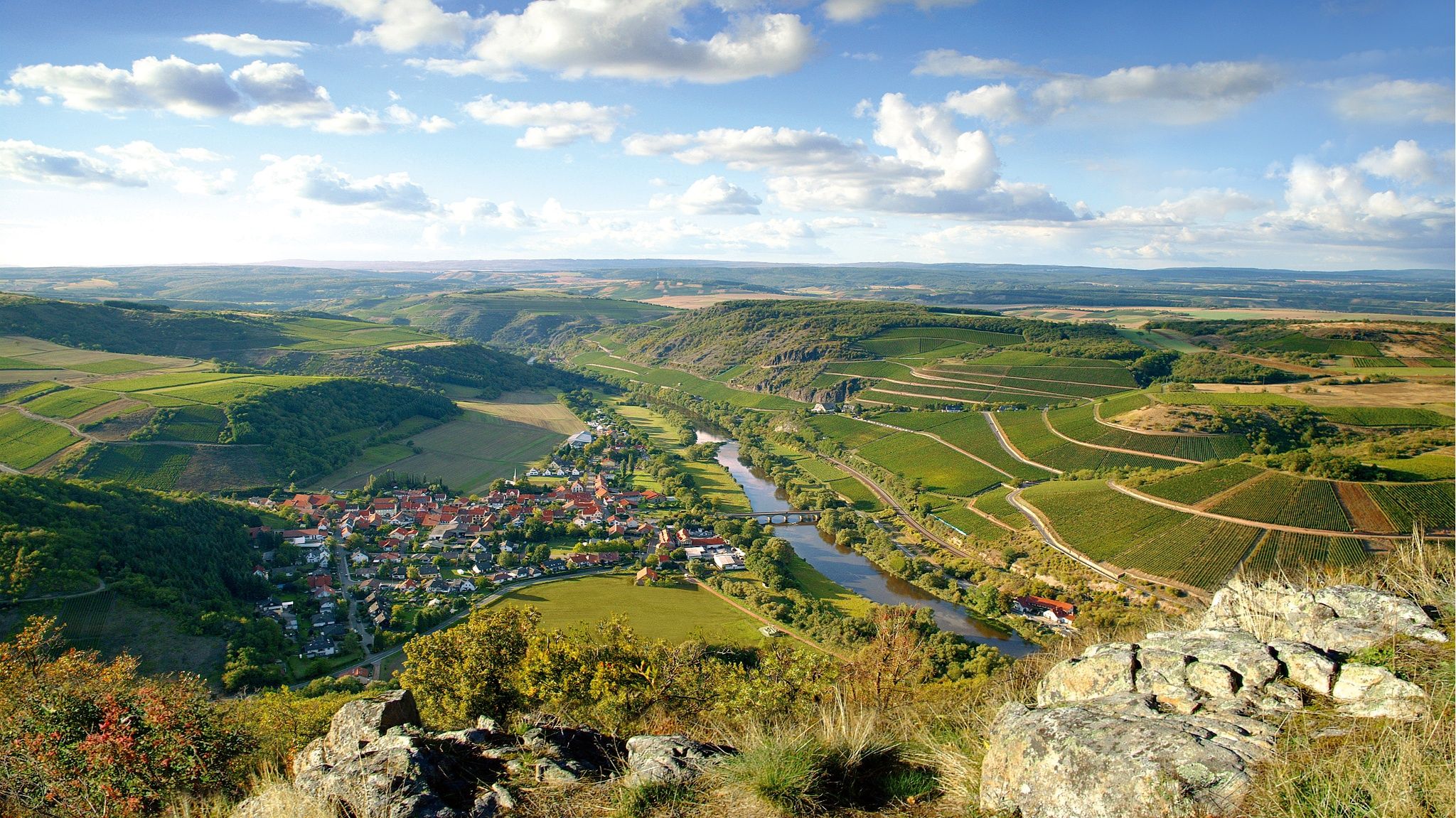
Top 10 hiking loops on the Nahe – Dream Loops and Vitaltours
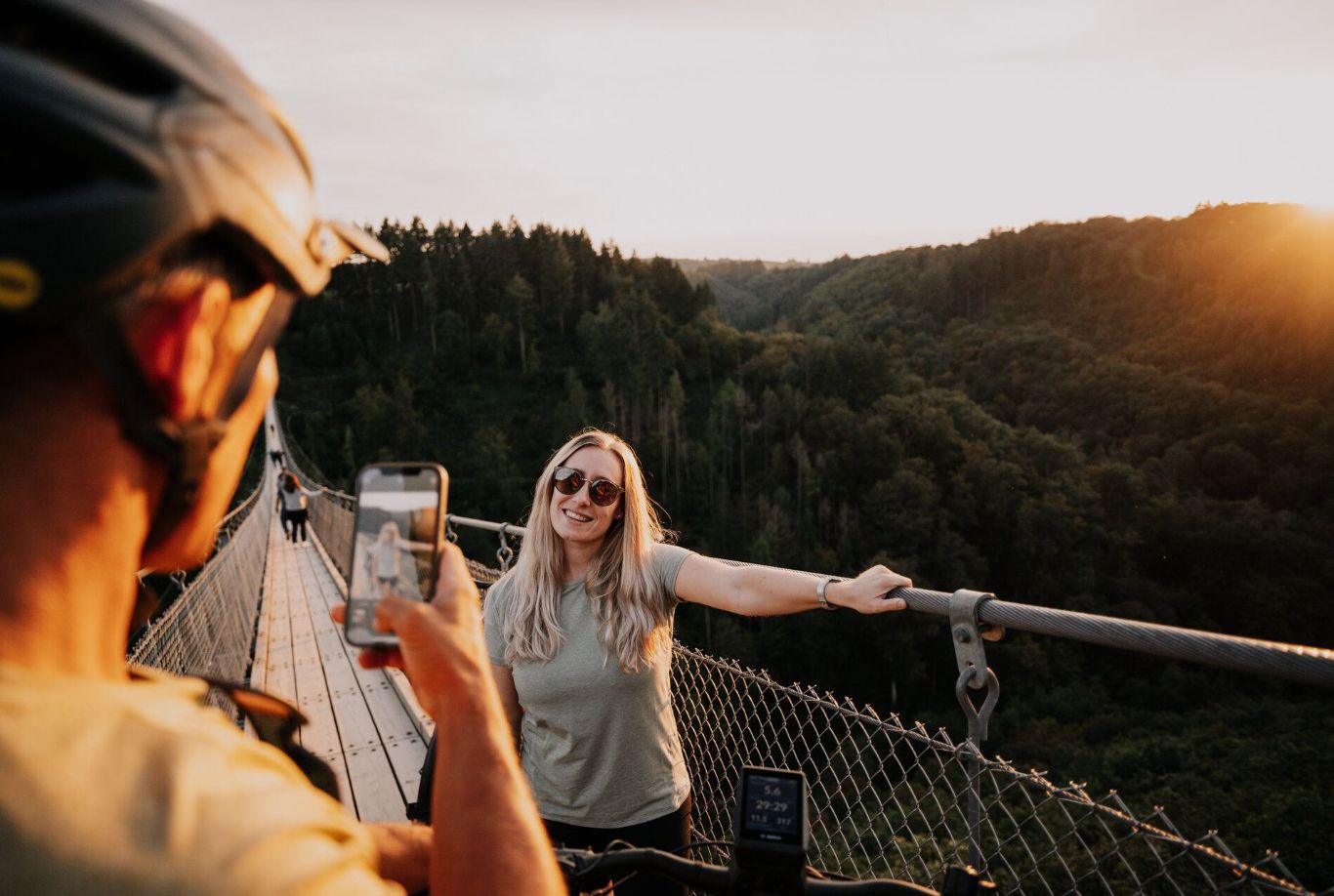
Cycling Tours to viewpoints in the Hunsrück-Nahe Region
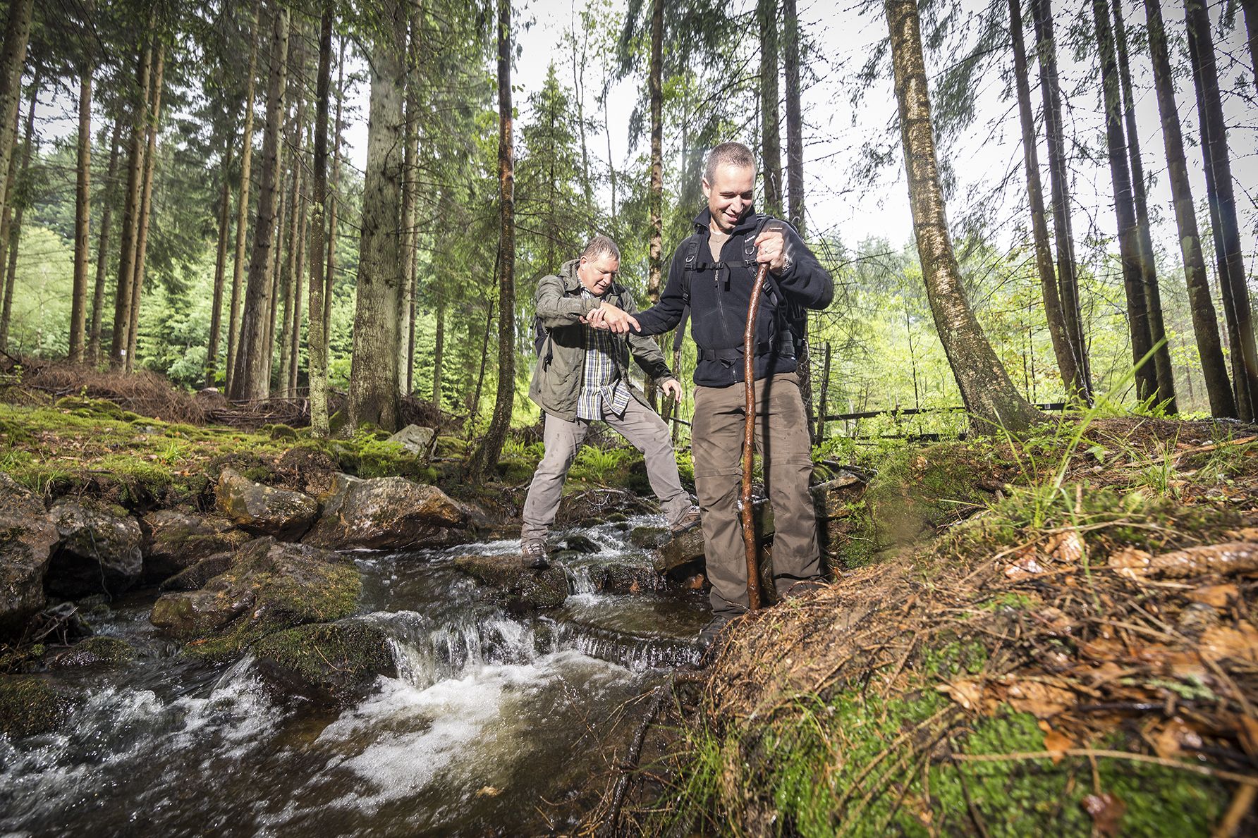
Off to the wild – hiking in the Birkenfelder Land
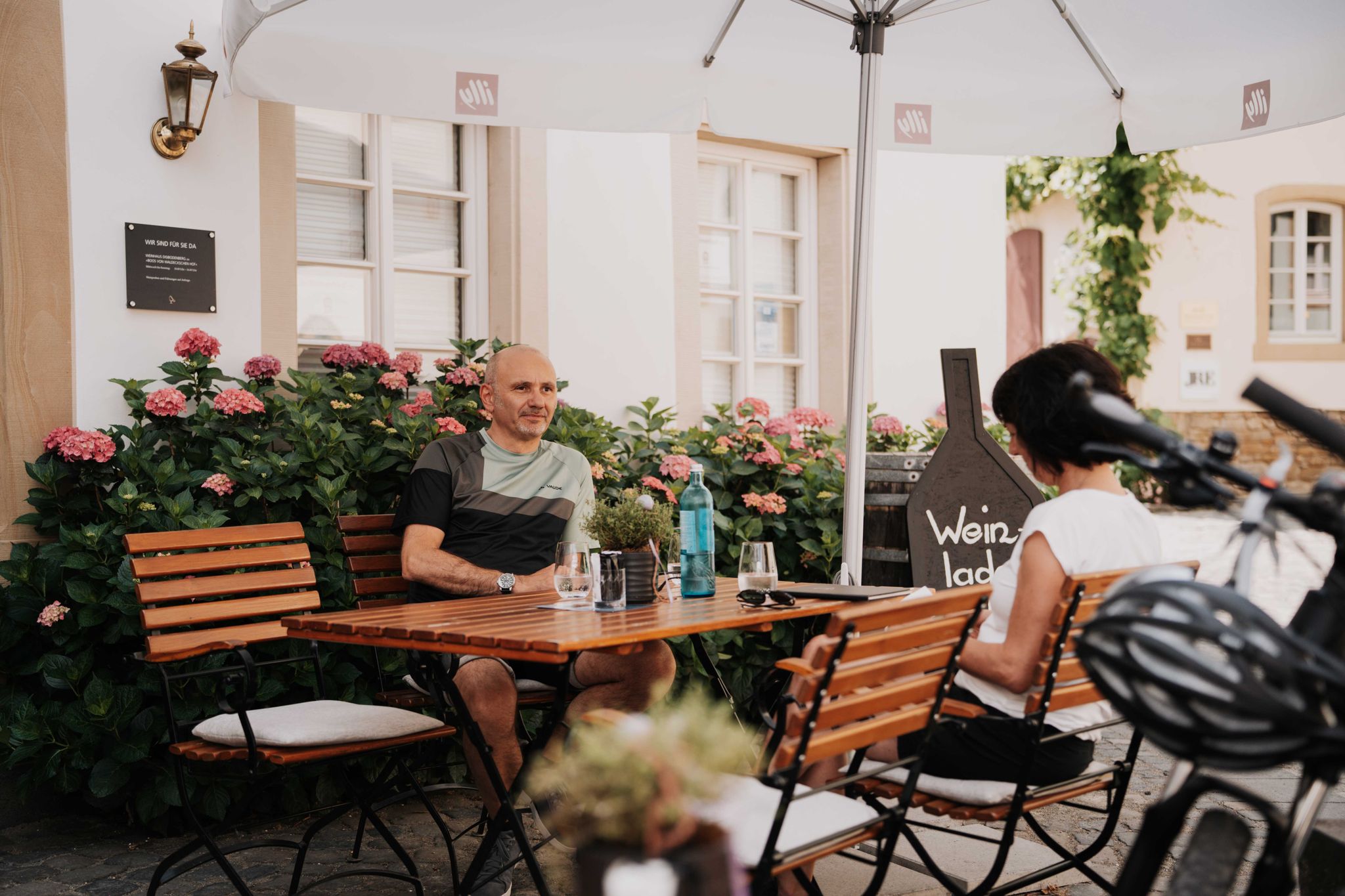
Genussradeln an der Nahe
Hiking around Herrstein
Road Cycling Routes around Herrstein
MTB Trails around Herrstein
Cycling around Herrstein
Running Trails around Herrstein
Other adventures around Herrstein


Tips from the Community

Can be ridden super and around the elevations nice
0
0

Very nice up here
0
0
Absolutely interesting old building
0
0
Very nice and recommendable route
0
0
Very cool bike path 🚴♂️
0
0

Fountain figure "Saint George"; bronze, around 1910, sculptor Hugo Cauer, Bad Kreuznach
1
0


Locals call the connection between Hottenbach and Hinzerath the Gerstenmaier Pass in reference to Eugen Gerstenmaier, the former President of the Bundestag (1954 to 1969). He owned the impressive villa on the side of the road.
0
0
Frequently Asked Questions
How many gravel bike trails are available around Herrstein?
Herrstein offers a wide selection of gravel biking routes, with over 30 trails available on komoot. These routes cater to various skill levels, ranging from moderate to difficult, ensuring there's a suitable option for most riders.
What kind of terrain can I expect on gravel bike trails in Herrstein?
The terrain around Herrstein is characterized by its diverse low mountain range landscape. You'll encounter a mix of forested hills, gentle valleys, and extensive gravel paths. Expect varied surfaces, including both paved and unpaved sections, with thrilling ascents and descents that offer breathtaking views over the Hunsrück.
Are there any family-friendly gravel biking options in Herrstein?
While many routes in Herrstein are moderate to difficult, the region's diverse network includes options that might be suitable for families looking for less strenuous rides. Look for routes with lower elevation gain and shorter distances. Always check the route details on komoot for specific difficulty ratings and terrain information to ensure it matches your family's capabilities.
Can I bring my dog on the gravel bike trails around Herrstein?
Many natural areas in the Saar-Hunsrück Nature Park and Hunsrück-Hochwald National Park are dog-friendly, making them suitable for cycling with your canine companion. However, it's always recommended to keep dogs on a leash, especially in nature reserves or near wildlife. Be mindful of other trail users and ensure your dog is comfortable with the distance and terrain.
What are some notable natural features or viewpoints along the gravel trails?
The Herrstein region is rich in natural beauty. You can find specific natural monuments like the Jammereiche, which is featured on the Historic Old Town of Herrstein – Jammereiche loop from Hellertshausen. Other routes offer scenic views over the Hunsrück, such as the View of the Hunsrück – Kirchberg Old Town loop from Hennweiler. The area also features 'Sinnesbänke' (sensory benches) for resting and enjoying the surroundings.
Are there any historical landmarks or attractions to explore near the trails?
Absolutely! Herrstein itself boasts a well-preserved medieval town center with half-timbered houses. Beyond the town, you can explore historical sites like the Schmidtburg Castle Ruins, which even offers an official trekking site for overnight stays. Other nearby historical highlights include the Hellkirch Ruins and the Celtic Settlement Altburg.
What is the best time of year for gravel biking in Herrstein?
The Hunsrück-Nahe region is enjoyable for gravel biking throughout much of the year. Spring and autumn offer pleasant temperatures and vibrant scenery, with autumn foliage being particularly beautiful. Summer can be great, but be prepared for warmer weather. Winter riding is possible, but some trails might be muddy or icy, so check conditions locally.
Are there any circular gravel bike routes available?
Yes, many of the gravel bike trails around Herrstein are designed as loops, allowing you to start and end at the same point. For example, the Solitary Tree Near Hunsrück – Old grain mill loop from Bruchweiler is a popular circular route that takes you through the Hunsrück landscape.
Where can I find parking for gravel biking trails in Herrstein?
Parking is generally available in and around the starting points of many routes. For instance, if you're starting a loop from Hellertshausen, Rhaunen, or Bruchweiler, you'll typically find local parking options. It's advisable to check specific route descriptions or local signage for designated parking areas before your ride.
What do other gravel bikers enjoy most about Herrstein?
Gravel bikers frequently praise Herrstein for its diverse landscapes and the extensive network of gravel paths. The region's mix of forested hills, gentle valleys, and varied terrain provides both athletic challenges and serene natural experiences. Many appreciate the opportunity to explore the Saar-Hunsrück Nature Park and Hunsrück-Hochwald National Park on two wheels.
Are there any challenging gravel routes for experienced riders?
Yes, Herrstein offers several challenging routes for experienced gravel bikers. For example, the Old grain mill – Kaisergarten Rest Area loop from Rhaunen is a difficult 31.2 km path featuring varied terrain and significant elevation changes. Another demanding option is the Jammereiche – View of Idarkopf loop from Kirn, which covers over 63 km with substantial climbing.
Can I reach the gravel biking areas by public transport?
While Herrstein is primarily accessed by car, some smaller towns and villages in the Hunsrück-Nahe region have limited public transport connections. It's best to research specific bus routes and schedules to see if they align with your chosen starting points. For maximum flexibility, traveling by car is often recommended to access the more remote trailheads.
Most popular attractions around Herrstein

Get inspired with the komoot mobile app


Explore more
Browse the best Gravel rides in other regions.
