The best gravel rides around Allenbach
5.0
(7)
52
riders
34
rides
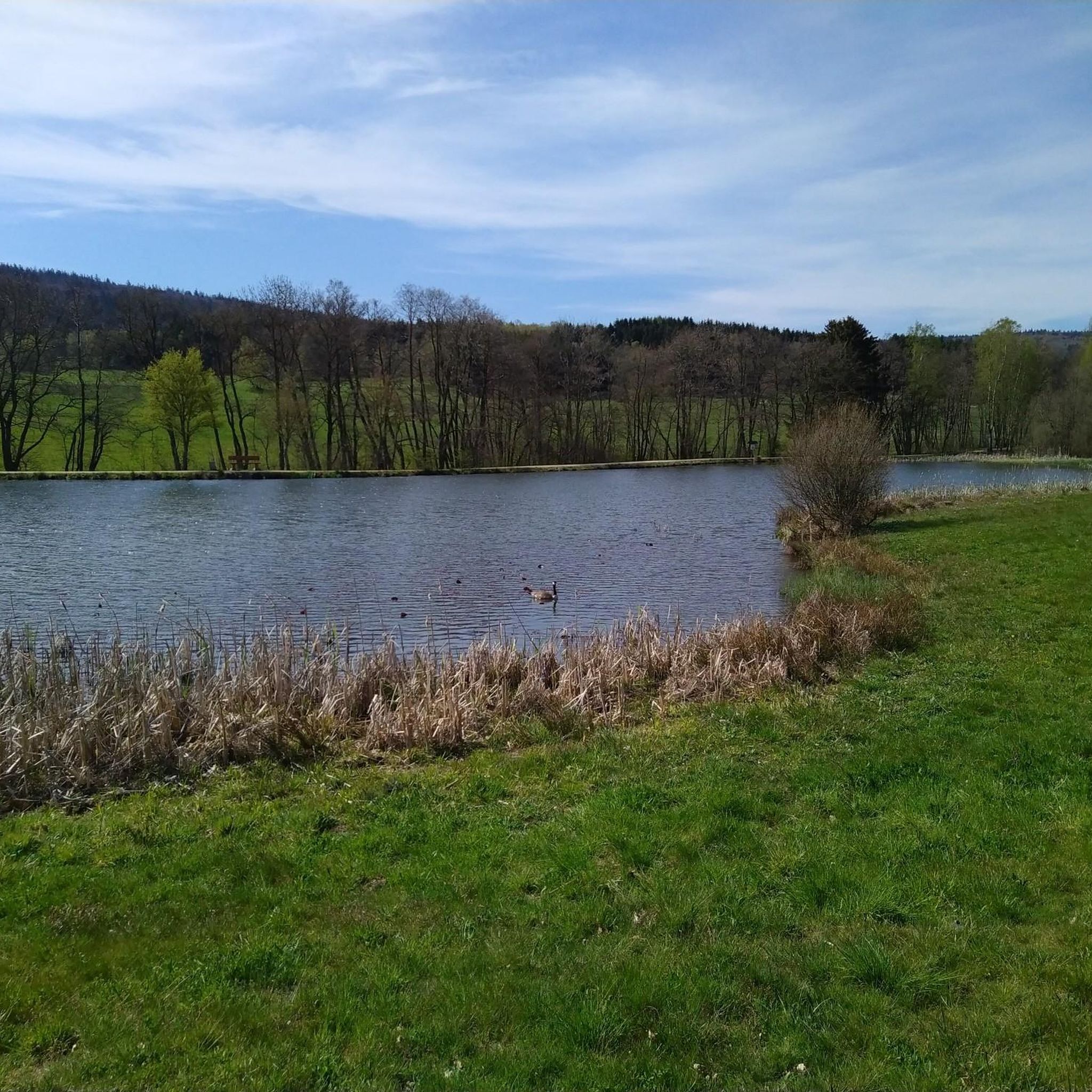
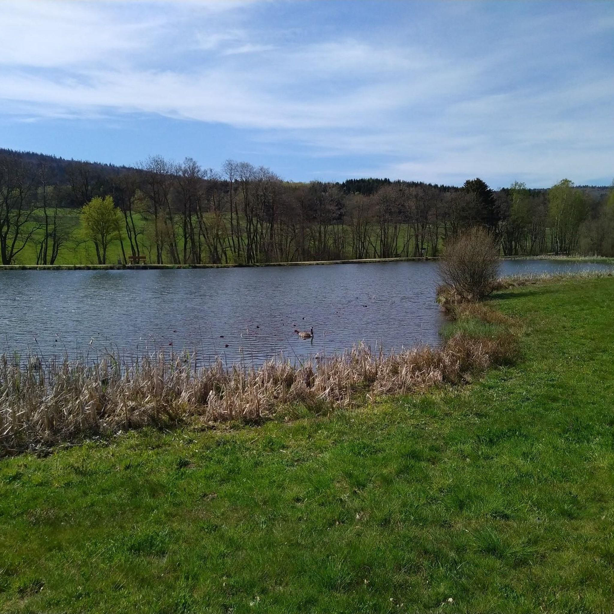
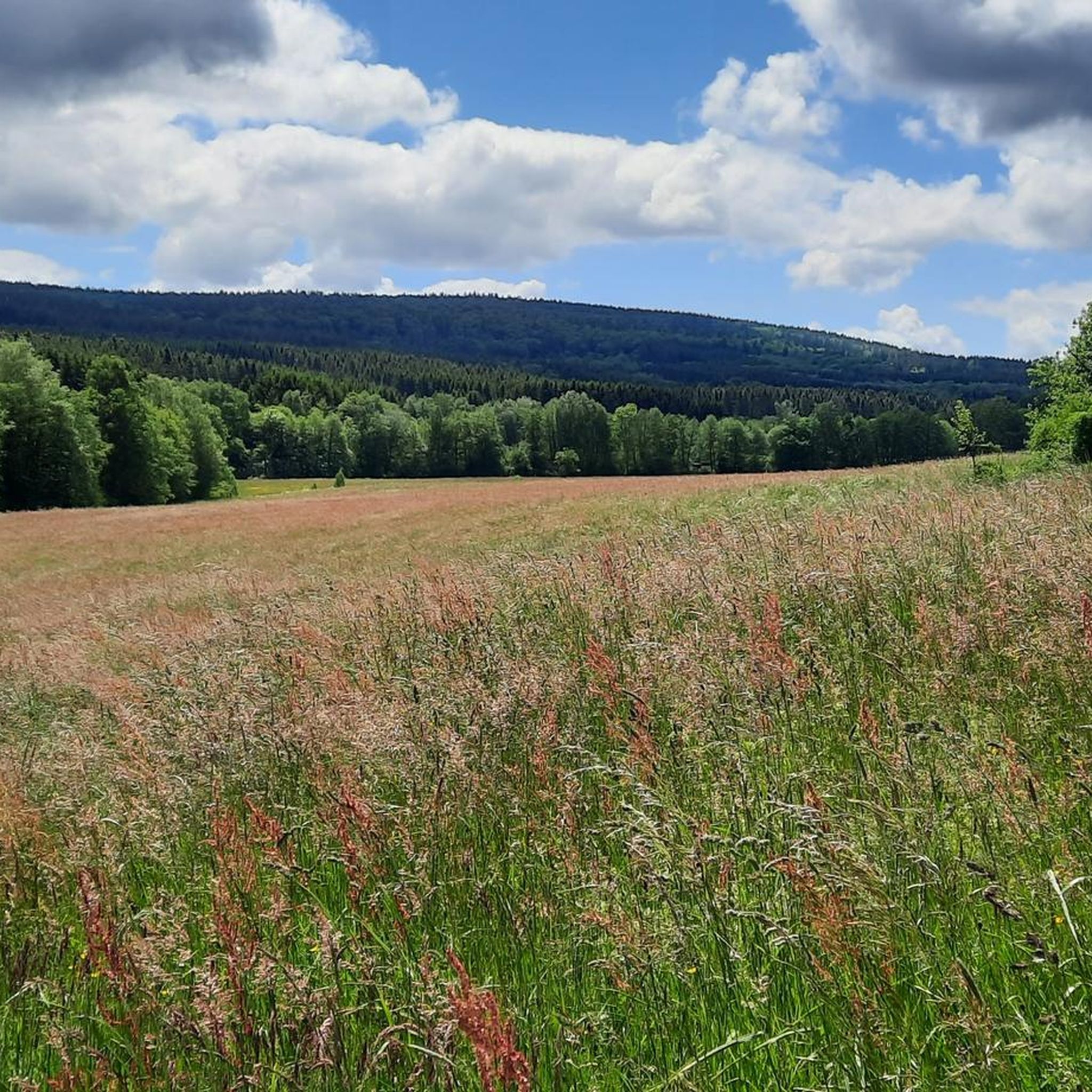
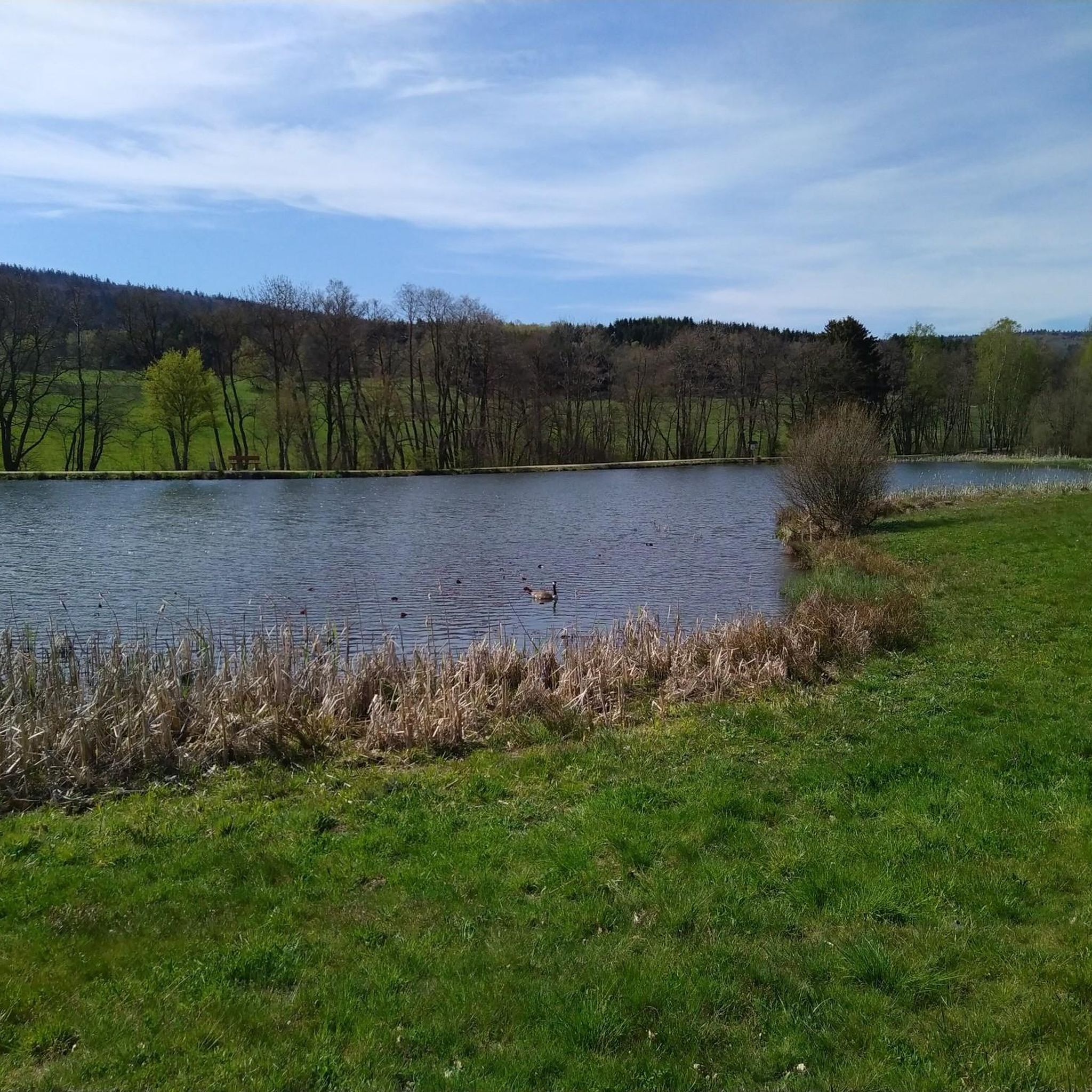
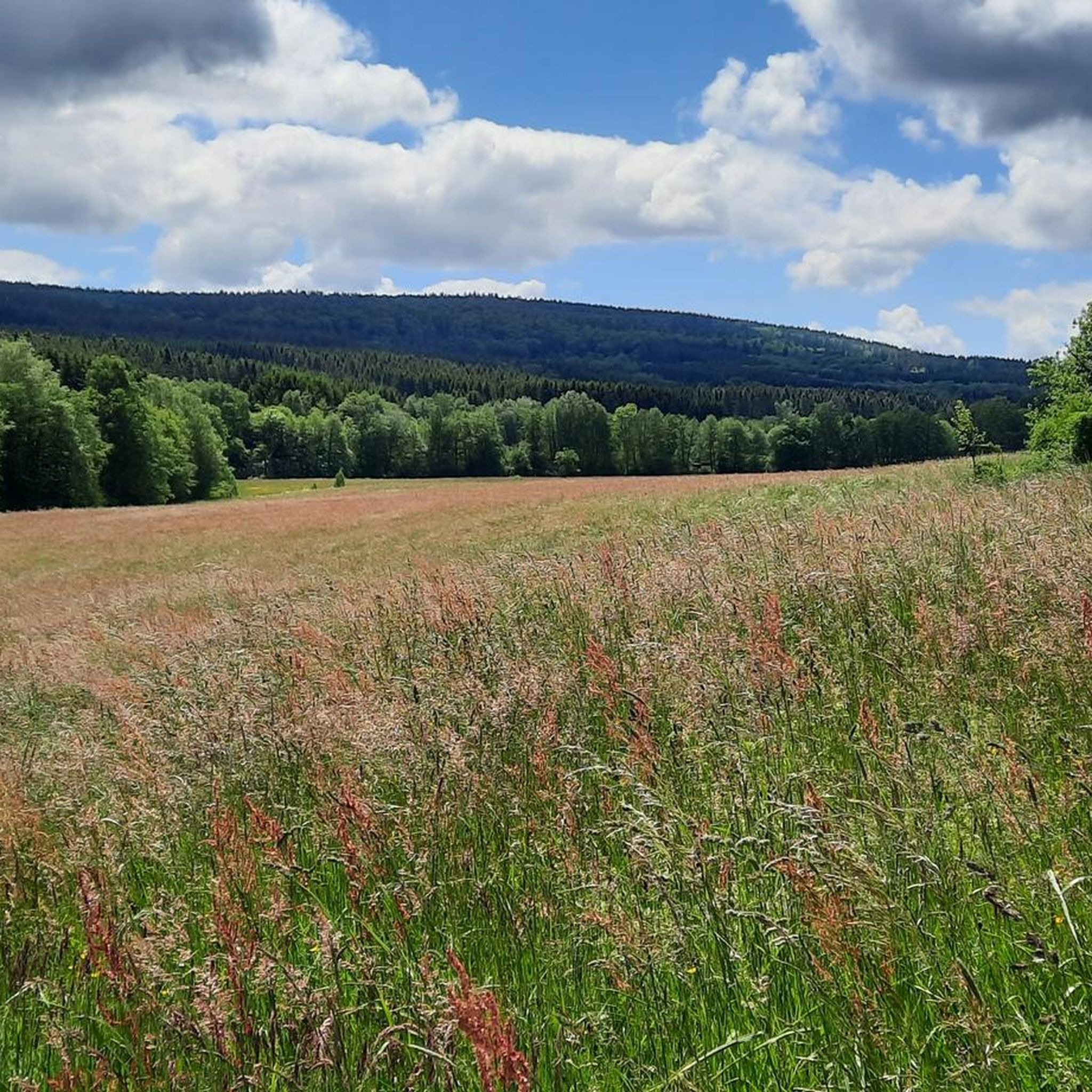
Gravel biking around Allenbach offers diverse landscapes within the Hunsrück-Hochwald National Park region. The area features dense forests, rolling hills, and river valleys, providing varied terrain for cyclists. Prominent natural features include the Erbeskopf, the highest elevation in Rhineland-Palatinate, which offers challenging climbs and panoramic views. The region's topography includes green grassy mountains, alpine meadows, and rugged heights, with an extensive network of gravel tracks and forest roads.
Best gravel bike trails around Allenbach
- The most popular gravel bike trail…
Last updated: October 20, 2026
3
riders
39.3km
03:26
670m
670m
Hard gravel ride. Very good fitness required. You may need to push your bike for some segments of this route.
5.0
(1)
10
riders
31.7km
02:28
430m
430m
Moderate gravel ride. Good fitness required. Mostly paved surfaces. Suitable for all skill levels.

5.0
(2)
4
riders
28.3km
01:53
390m
390m
Moderate gravel ride. Good fitness required. Mostly paved surfaces. Suitable for all skill levels.
5.0
(2)
9
riders
Moderate gravel ride. Good fitness required. Mostly paved surfaces. Suitable for all skill levels.
4
riders
Hard gravel ride. Very good fitness required. Mostly paved surfaces. Suitable for all skill levels.
Get access to more routes and recommendations from other explorers.
Already have an account?
Our route recommendations are based on thousands of hikes, rides, and runs completed by other people on komoot.
Start today with a free account
Your next adventure awaits.
Tips from the Community

Beautiful views into the Hunsrück and onto the National Park
0
0
Great, really super use of the slope
0
0

Beautiful view over the region.
1
0

Very well done, great panoramic view from up here.
1
0
Highly recommended, top condition
0
0
And a branch office of the registry office 💁♂️😂
1
0

beautiful view over the Hünsrück and the Eifel
0
0
Frequently Asked Questions
What kind of terrain can I expect on gravel bike trails around Allenbach?
The Allenbach region, nestled within the Hunsrück-Hochwald National Park, offers a diverse mix of terrain. You'll encounter dense forests, rolling hills, and scenic river valleys. The area is known for its extensive network of gravel tracks and forest roads, with some routes featuring green grassy mountains, alpine meadows, and rugged heights. This varied topography makes it ideal for gravel biking, allowing you to explore both paved and unpaved paths.
Are there challenging climbs or routes for experienced gravel bikers?
Yes, the region offers routes with significant elevation changes, particularly around the Erbeskopf, which is the highest point in Rhineland-Palatinate. Trails like Forest Wind Expanse are rated as difficult, providing a sporting challenge with substantial climbs and descents through extensive woodlands. Overall, 22 of the 39 available routes are classified as difficult.
What are some notable viewpoints or natural features I can see along the gravel trails?
Many routes offer stunning views, especially from the Erbeskopf, which provides panoramic vistas of the Hunsrück, Eifel, and even into Saarland on clear days. You can explore routes like Erbeskopf Viewpoint – Windklang Observation Tower loop from Morbach to experience these. Other natural features include river valleys, such as those along the Dhron River, and the Hölzbach Gorge. You can also find highlights like the Erbeskopf (highest point in Rhineland-Palatinate) and the Hölzbach Gorge.
Are there any loop routes available for gravel biking?
Yes, many of the gravel bike trails around Allenbach are designed as loops, allowing you to start and end at the same point. Examples include the Erbeskopf Viewpoint – Windklang Observation Tower loop from Morbach and the Stone Bridge and Stream Trail – Path Along the Dhron loop from Morbach. These circular routes are convenient for exploring the diverse landscapes without needing to retrace your path.
What do other gravel bikers enjoy most about the trails in Allenbach?
The gravel biking routes around Allenbach are highly rated by the komoot community, with an average score of 5.0 stars from over 4 reviews. Over 50 gravel bikers have used komoot to explore the area. Reviewers often praise the region's diverse landscapes, the extensive network of natural gravel trails, and the serene, solitary experience offered by the dense forests and varied topography.
What is the best time of year for gravel biking in Allenbach?
The Hunsrück-Hochwald National Park region is generally enjoyable for gravel biking from spring through autumn. During these seasons, the weather is typically mild, and the natural landscapes are at their most vibrant. While winter riding is possible, be prepared for colder temperatures, potential snow or ice, and shorter daylight hours, which can affect trail conditions.
Are there any family-friendly gravel bike routes in the area?
While many routes in Allenbach feature moderate to difficult sections, some trails might be suitable for families with older children or those accustomed to varied terrain. The region's network includes paths through river valleys and less strenuous forest roads. For a moderate option, consider the Luisenruh Rock Formation – View of the Traunbach Valley loop from Ellenberg, which offers scenic views over a manageable distance.
Are there any historical sites or cultural attractions near the gravel trails?
Yes, the region has several points of interest beyond natural beauty. You can find historical sites such as the Ruins of Hunolstein Castle and the Züscher Hammer. Additionally, the Belginum Archaeology Park – View of Wederath loop from Morbach route passes by an archaeological park, offering a glimpse into the region's past.
Can I access gravel trails using public transport in Allenbach?
While Allenbach is well-connected by roads, public transport options directly to trailheads might be limited, especially for carrying bikes. It's advisable to check local bus schedules and bike carriage policies in advance. Many gravel bikers prefer to drive to a central starting point with parking, such as Morbach or Ellenberg, and begin their tours from there.
Are there any unique natural formations or geological sites to explore?
Beyond the general topography, the area features interesting geological sites. You can find caves like the Slate Mine Tunnel (Bat Cave) in Saar-Hunsrück Nature Park and the Steinkaulenberg Gemstone Mine. The Geopark Krahloch and Angel Pond is another notable natural monument that showcases the region's geological history.
How many gravel bike trails are there in total around Allenbach?
There are approximately 39 gravel bike trails available for exploration around Allenbach. These routes vary in difficulty, distance, and elevation, offering a wide range of options for different skill levels and preferences.
Most popular attractions around Allenbach

Get inspired with the komoot mobile app


Explore more
Browse the best Gravel rides in other regions.
