The best gravel rides around Hintertiefenbach
4.3
(3)
23
riders
7
rides
Gravel biking around Hintertiefenbach offers an extensive network of gravel trails and dirt tracks within the scenic Hunsrück-Nahe region. This area is characterized by rolling hills, dense forests, and clear streams, providing a diverse backdrop for outdoor activities. Riders can find a mix of challenging ascents and descents, with routes leading through protected areas like the Hunsrück Hochwald National Park and Soonwald-Nahe Nature Park. The terrain provides varied experiences for gravel bikers seeking off-road adventures.
Best gravel bike trails around…
Last updated: July 3, 2026
3.0
(1)
6
riders
63.3km
04:03
830m
830m
Hard gravel ride. Very good fitness required. Mostly paved surfaces. Suitable for all skill levels.
3
riders
25.8km
01:49
440m
440m
Moderate gravel ride. Good fitness required. Mostly paved surfaces. Suitable for all skill levels.

Sign up for free
5
riders
Hard gravel ride. Very good fitness required. Mostly paved surfaces. Suitable for all skill levels.
1
riders
80.2km
05:28
1,360m
1,360m
Hard gravel ride. Very good fitness required. Mostly paved surfaces. Suitable for all skill levels.
1
riders
64.7km
04:14
890m
890m
Hard gravel ride. Very good fitness required. You may need to push your bike for some segments of this route.
Get access to more routes and recommendations from other explorers.
Sign up for free
Already have an account?
Our route recommendations are based on thousands of hikes, rides, and runs completed by other people on komoot.
Start today with a free account
Your next adventure awaits.
Login or Signup
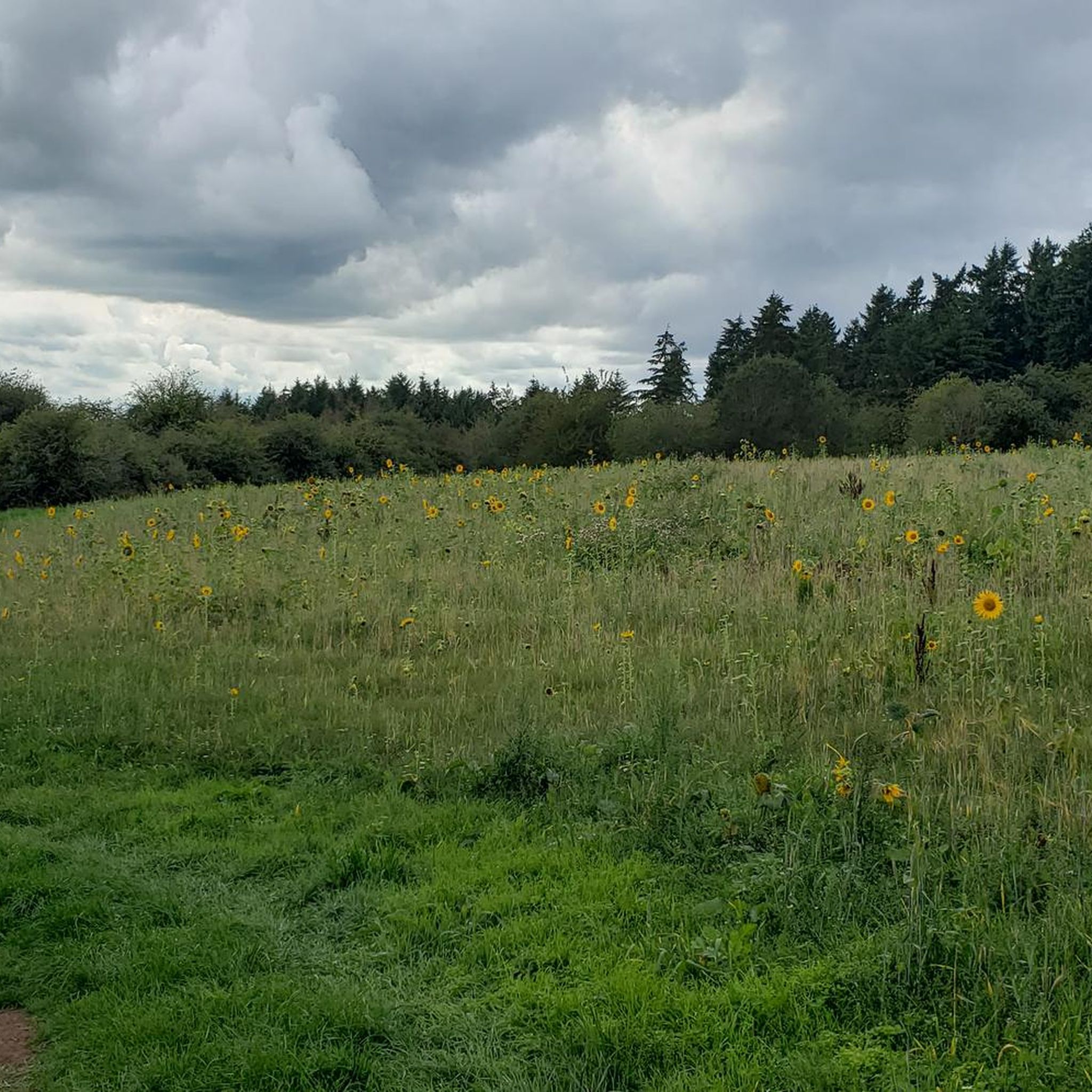
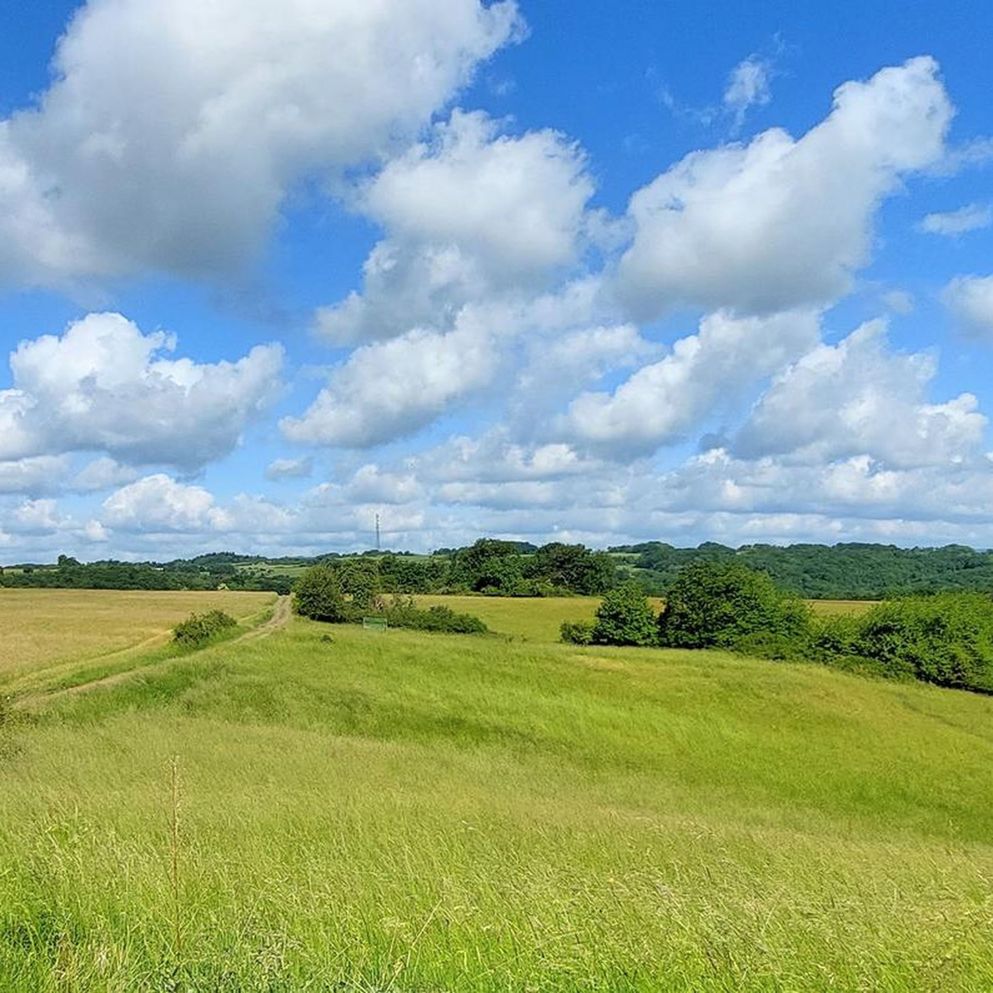
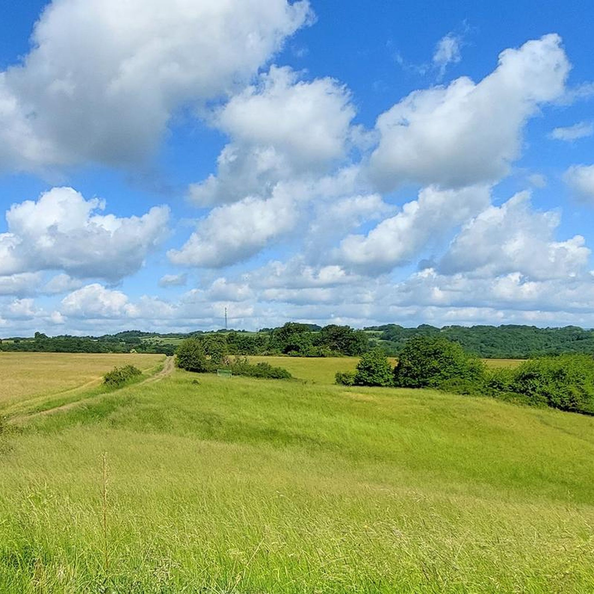
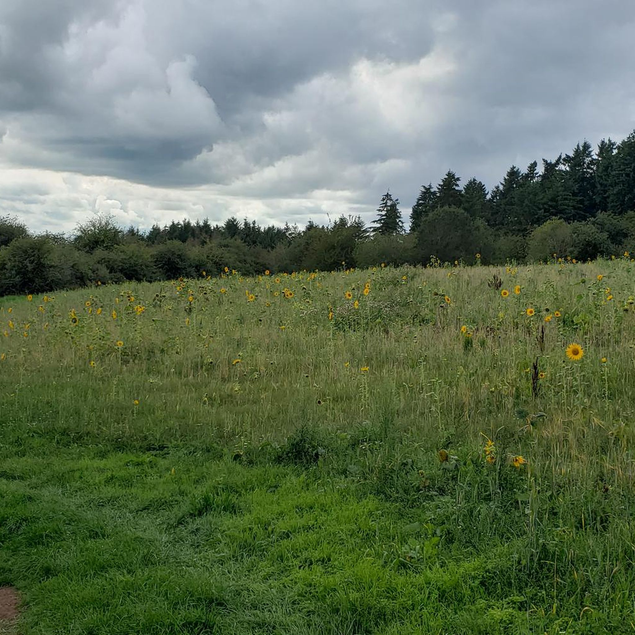
Tips from the Community

It's very shallow here because there's a car underpass, great for kids too
0
0
Can be ridden super and around the elevations nice
0
0

One of the nicer views.
0
0

Beautiful spot with lots of water
0
0
Simply a very impressive building.
0
0
Very cool bike path 🚴♂️
0
0
Impressive building 🏘️ a must-see
0
0
Frequently Asked Questions
What kind of terrain can I expect on gravel bike trails around Hintertiefenbach?
The gravel bike trails around Hintertiefenbach, located in the Hunsrück-Nahe region, are characterized by diverse terrain. You'll encounter rolling hills, dense forests, and clear stream valleys, offering a mix of challenging ascents and descents on extensive gravel paths and dirt tracks.
How many gravel bike trails are available in the Hintertiefenbach area?
There are over 10 gravel bike trails available around Hintertiefenbach, catering to various skill levels. The majority of these routes are considered difficult, with a few moderate options for those seeking a less strenuous ride.
Are there any family-friendly gravel biking options near Hintertiefenbach?
While many routes in the Hintertiefenbach area are rated as difficult, there are some moderate options that might be suitable for families with older children or those looking for a less intense ride. For example, The new Idarkopf Tower – View from the Idarkopf loop from Hottenbach is a moderate 25.8 km path offering scenic views.
What are some notable natural attractions or viewpoints along the gravel routes?
Many routes offer impressive views and pass through scenic areas. For instance, the Jammereiche – View of Idarkopf loop from Kirn provides expansive views of the Idarkopf region. You might also encounter highlights like the Trübenbach Waterfall or the Kammerwoog Reservoir, which are natural monuments in the wider area.
Are there any historical landmarks or places of interest to explore while gravel biking?
Yes, the region has a rich history. You could explore the Historic Old Town of Herrstein, or see the Kyrburg Castle. Some trails, like the historical Kupfer-Jasper-Path, also offer insights into the region's mining past, though it's primarily a hiking trail.
What is the best time of year to go gravel biking in Hintertiefenbach?
The Hunsrück-Nahe region is beautiful throughout the warmer months. Spring and autumn generally offer pleasant temperatures and vibrant scenery, making them ideal for gravel biking. Summer can also be great, but be prepared for potentially warmer weather, especially on routes with less tree cover.
Are there any circular gravel bike routes available?
Yes, many of the gravel bike routes around Hintertiefenbach are designed as loops, allowing you to start and end at the same point. Examples include the Eselbrücke Kohlenhütte – Antestal Trail Entrance loop from Fischbach-Weierbach and the Kirn Market Square – Oberstein Castle Pond loop from Kirn.
What do other gravel bikers say about the trails in Hintertiefenbach?
The gravel biking experience in Hintertiefenbach is highly regarded by the komoot community, with an average score of 4.6 stars from over 5 reviews. Riders often praise the varied terrain, the extensive network of gravel paths, and the immersive natural beauty of the Hunsrück-Nahe region.
Are there options for advanced or challenging gravel bike rides?
Absolutely. The majority of gravel routes around Hintertiefenbach are classified as difficult, offering significant elevation gains and longer distances for experienced riders. For instance, the Jammereiche – View of Idarkopf loop from Kirn is a challenging 63.1 km route with over 800 meters of elevation gain.
Can I find routes that go through protected natural areas?
Yes, the region around Hintertiefenbach includes protected areas such as the Hunsrück Hochwald National Park and the Soonwald-Nahe Nature Park. Many gravel routes traverse these stunning natural landscapes, offering opportunities to immerse yourself in the wilderness.
What kind of elevation gain can I expect on these gravel trails?
The gravel trails around Hintertiefenbach often feature significant elevation changes due to the rolling hills of the Hunsrück-Nahe region. Difficult routes can have over 800 meters of ascent, while moderate trails might involve around 400-500 meters of climbing.
Most popular routes around Hintertiefenbach
Most popular attractions around Hintertiefenbach

Get inspired with the komoot mobile app


Explore more
Browse the best Gravel rides in other regions.
