The best gravel rides around Berglangenbach
4.8
(17)
85
riders
13
rides
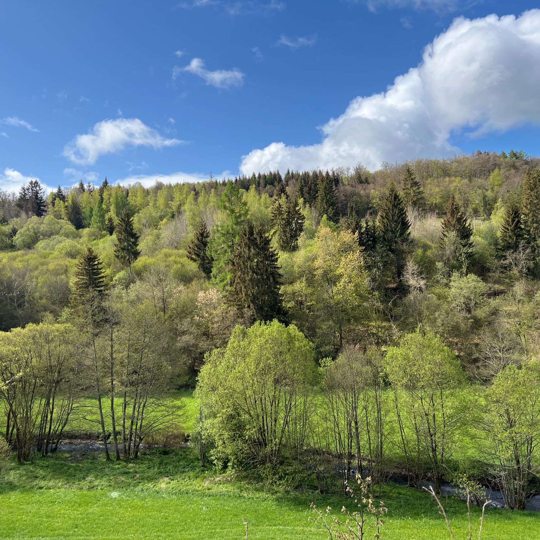
Gravel biking around Berglangenbach offers diverse landscapes of picturesque forests and rolling hills, situated between the Hunsrück and the North Palatine Uplands. The region features varied terrain, including extensive wooded areas and agricultural lands, providing a diverse backdrop for exploration. Routes often combine paved sections with unpaved roads and forest tracks, utilizing old railway lines that offer mixed surfaces ideal for gravel bikes. This topography naturally lends itself to gravel biking, allowing exploration of open fields and shaded woodlands within…
Last updated: July 3, 2026
13
riders
28.1km
01:40
310m
310m
Moderate gravel ride. Good fitness required. Mostly paved surfaces. Suitable for all skill levels.
5.0
(2)
14
riders
28.9km
01:37
310m
310m
Moderate gravel ride. Good fitness required. Mostly paved surfaces. Suitable for all skill levels.

Sign up for free
4.0
(1)
4
riders
22.3km
01:34
360m
360m
Hard gravel ride. Good fitness required. You may need to push your bike for some segments of this route.
4
riders
56.5km
03:34
740m
740m
Hard gravel ride. Very good fitness required. Mostly paved surfaces. Suitable for all skill levels.
4.5
(4)
6
riders
36.0km
02:17
570m
570m
Hard gravel ride. Very good fitness required. Mostly paved surfaces. Suitable for all skill levels.
Get access to more routes and recommendations from other explorers.
Sign up for free
Already have an account?
Our route recommendations are based on thousands of hikes, rides, and runs completed by other people on komoot.
Start today with a free account
Your next adventure awaits.
Login or Signup
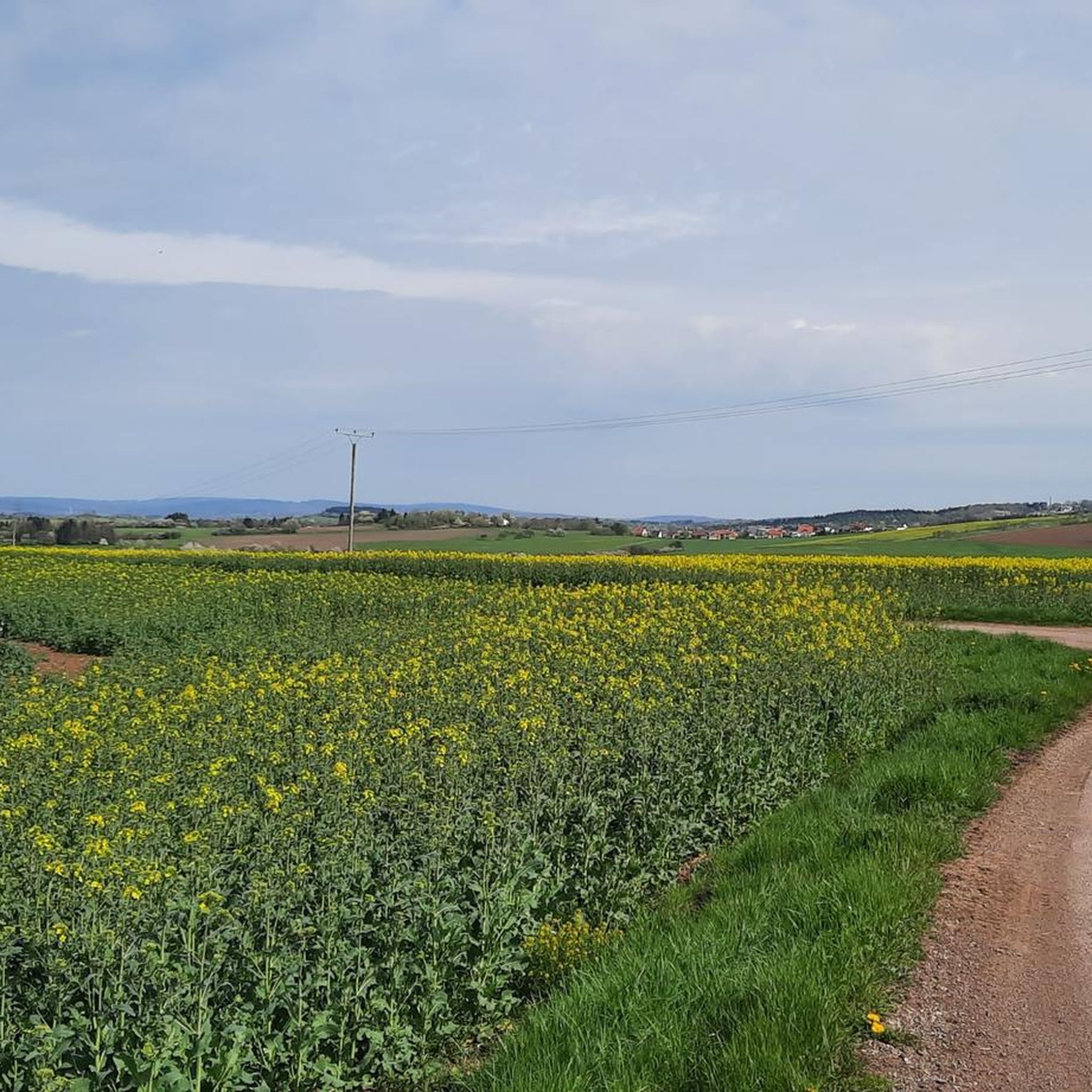
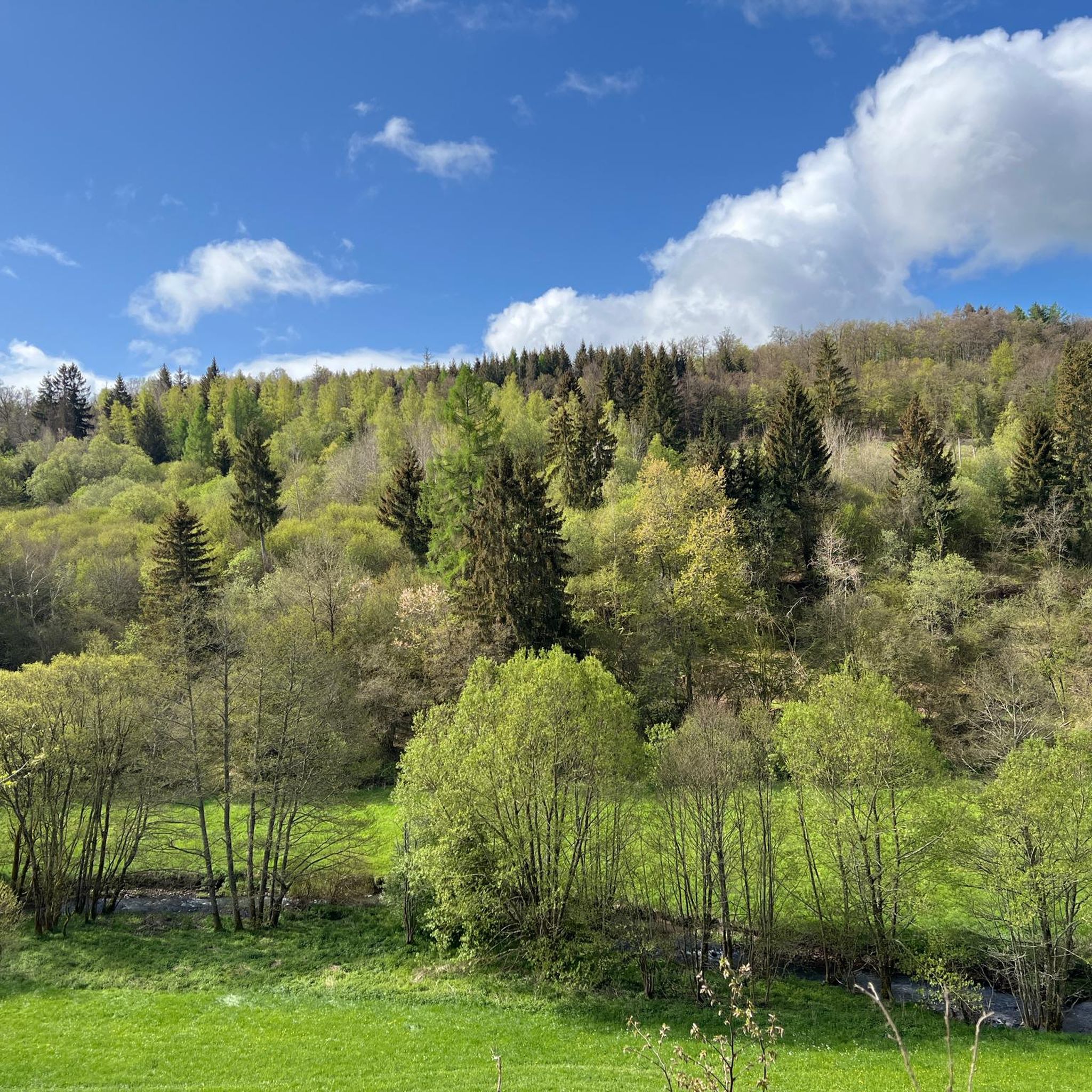
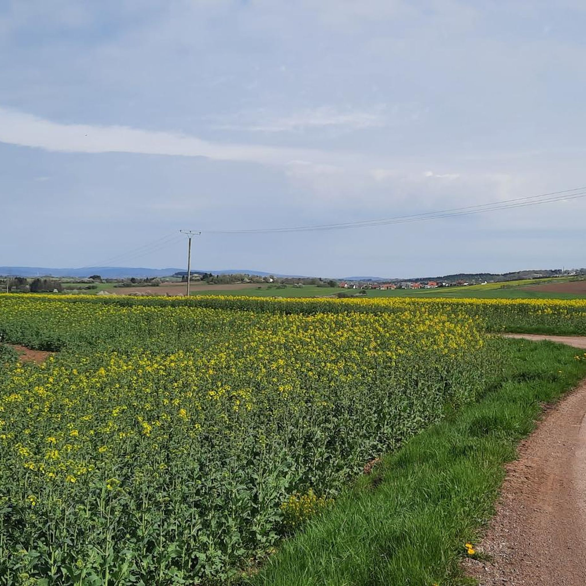
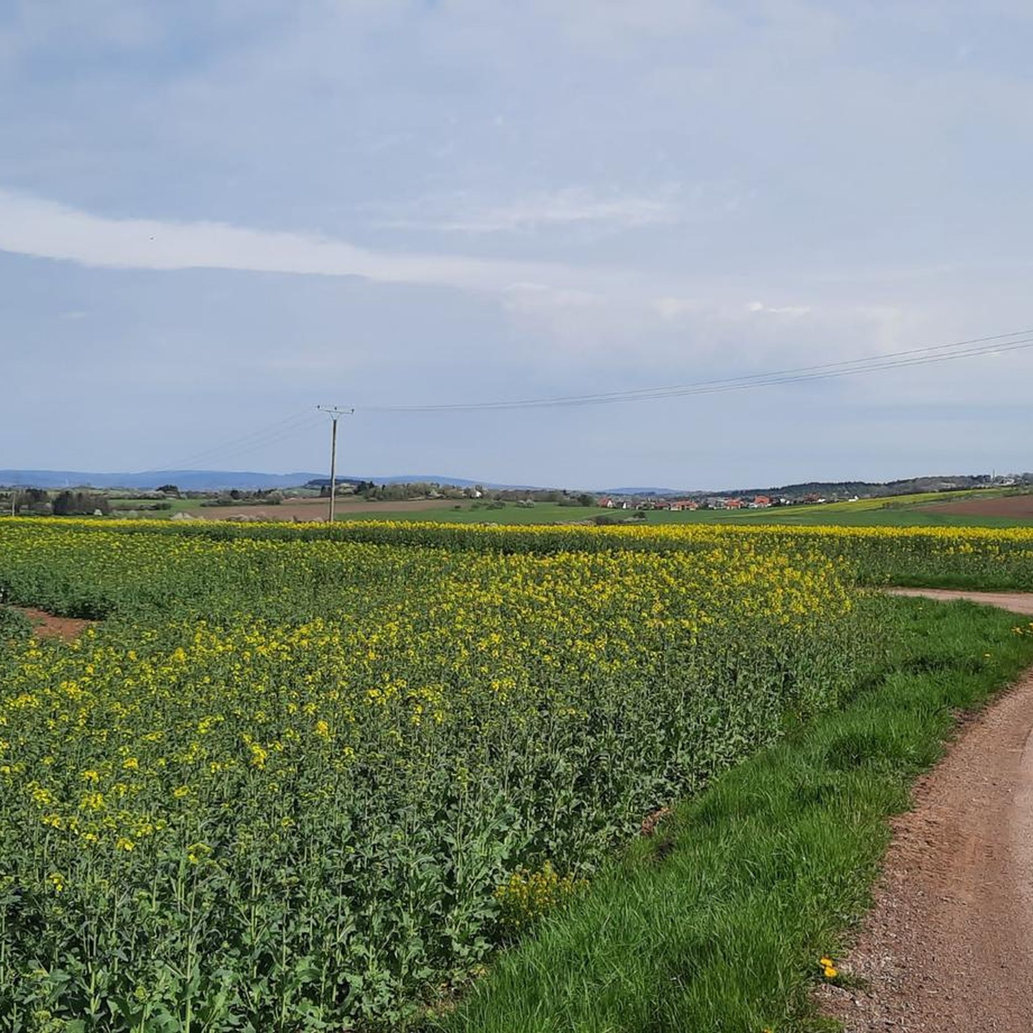
Tips from the Community

Lichtenberg Castle is one of the largest castle ruins in Germany
0
0

Good paths, clearly signposted, very beautiful views and photo opportunities
0
0


We passed through here on the third day of our Trier-Grünstadt tour. It's one of the most beautiful bike paths we've ever ridden.
1
0

The circular trail around the Nonnweiler Reservoir offers relaxing nature experiences right by the water. On the well-maintained path, you'll enjoy magnificent views of the lake. Along the way, you'll find numerous places to linger and observe the birdlife. The route is family-friendly and ideal for hiking or cycling.
4
0
The Nonnweiler Dam is the largest drinking water reservoir in Saarland and a popular tourist destination. A beautiful circular trail leads directly along the water, offering magnificent views of the reservoir. Especially in summer, the tranquil surroundings invite you to relax and enjoy nature. The clear water and the dense forests surrounding it make this place unique.
1
0
The Nonnweiler Dam is the largest drinking water reservoir in Saarland and a popular tourist destination. A beautiful circular trail leads directly along the water, offering magnificent views of the reservoir. Especially in summer, the tranquil surroundings invite you to relax and enjoy nature. The clear water and the dense forests surrounding it make this place unique.
3
0

If you like it quiet, this is just the right place for you.
3
0
Frequently Asked Questions
How many gravel bike trails are available around Berglangenbach?
There are over 20 gravel bike trails around Berglangenbach, offering a diverse range of experiences. The komoot community has explored these routes more than 100 times, highlighting the region's popularity for gravel biking.
What kind of terrain can I expect on gravel bike trails near Berglangenbach?
The region around Berglangenbach, nestled between the Hunsrück and the North Palatine Uplands, features a diverse landscape of picturesque forests and rolling hills. You can expect routes that combine paved sections with unpaved roads and forest tracks, allowing you to traverse open fields and shaded woodlands. Many trails also incorporate sections of old railway lines, providing a unique and often flatter riding experience.
What is the general difficulty level of gravel biking in Berglangenbach?
Gravel biking in Berglangenbach offers a mix of challenges. While there are 7 moderate routes, the majority (13 out of 20) are considered difficult, often featuring significant elevation gain. This variety ensures options for different ability levels, from those seeking a less strenuous ride to experienced gravel bikers looking for a challenge.
Are there any circular gravel bike routes in Berglangenbach?
Yes, many of the gravel bike routes around Berglangenbach are designed as loops, allowing you to start and finish at the same point. For example, the Oberkirchener Tunnel – Old Railway Bridge loop from Oberkirchen is a popular moderate circular route that incorporates features of old railway lines.
What do other gravel bikers say about the trails in Berglangenbach?
The gravel bike trails in Berglangenbach are highly rated by the komoot community, with an average score of 4.7 out of 5 stars from over 20 reviews. Riders often praise the varied terrain, the scenic beauty of the forests and hills, and the unique experience of cycling along old railway lines.
Are there any family-friendly gravel bike trails in Berglangenbach?
While many routes in Berglangenbach are rated as difficult, there are moderate options that might be suitable for families with some cycling experience. These routes often follow old railway lines, which tend to have gentler gradients. Always check the specific route details for distance and elevation to ensure it matches your family's capabilities.
What landmarks or points of interest can I see along the gravel bike trails?
The region offers several interesting landmarks and viewpoints that can be incorporated into your rides. You might encounter historical sites like the Nahekopf Plateau and Kaiserallee, or enjoy panoramic views from spots like View of the Potzberg and View from Trautzberg. Lichtenberg Castle is also a notable historical attraction in the area.
Are there gravel bike trails that follow old railway lines?
Yes, the region is known for its routes that utilize old railway lines, such as sections of the Fritz-Wunderlich Cycle Route. These paths often provide a unique riding experience through nature with comfortable gradients. The Lichtenberg Castle – Old Railway Bridge loop from Baumholder is one such route that passes by an old railway bridge.
What is the best time of year for gravel biking in Berglangenbach?
The diverse landscape of Berglangenbach, with its extensive forests and rolling hills, is appealing throughout the changing seasons. Spring and autumn offer particularly picturesque scenery and comfortable temperatures for cycling. While specific winter conditions vary, the varied terrain means you can often find suitable routes even in cooler months, though some forest tracks might be affected by weather.
Are there any scenic gravel bike trails with good views?
Absolutely. Many routes offer magnificent views, especially those that traverse the rolling hills and open fields. The View of Bostalsee from the dam – Wendelinus Cycle Path loop from Hoppstädten (Nahe) is a difficult route specifically highlighted for its views of Bostalsee from the dam.
Where can I find parking for gravel biking trails in Berglangenbach?
While specific parking locations are not detailed for every route, many trails start from towns or villages like Hoppstädten (Nahe), Oberkirchen, or Baumholder, where public parking facilities are typically available. It's advisable to check the starting point of your chosen route for local parking options.
Are there any less crowded gravel bike trails around Berglangenbach?
Given the region's extensive network of forest tracks and unpaved roads, it's possible to find quieter routes, especially away from the more well-known cycle paths. Exploring some of the less frequently reviewed routes on komoot or venturing into the deeper forest sections can lead to a more secluded gravel biking experience.
Most popular routes around Berglangenbach
Most popular attractions around Berglangenbach

Get inspired with the komoot mobile app


Explore more
Browse the best Gravel rides in other regions.
