The best gravel rides around Oberhambach
5.0
(7)
51
riders
17
rides
Gravel biking around Oberhambach features a diverse landscape characterized by rolling hills, deep valleys, and expansive reservoirs within the Hunsrück low mountain range. The region offers a mix of challenging climbs and scenic routes, often utilizing former rail trails and forest paths. Riders can expect varied terrain, from smooth gravel to more rugged sections, with significant elevation changes on many routes. The area benefits from its proximity to the Hunsrück-Hochwald National Park, providing extensive woodlands and diverse natural features.
Best…
Last updated: July 3, 2026
5.0
(2)
8
riders
Moderate gravel ride. Good fitness required. Mostly paved surfaces. Suitable for all skill levels.
3
riders
Hard gravel ride. Very good fitness required. Mostly paved surfaces. Suitable for all skill levels.

Sign up for free
3
riders
26.7km
02:01
540m
540m
Hard gravel ride. Very good fitness required. Mostly paved surfaces. Suitable for all skill levels.
5.0
(2)
7
riders
48.5km
03:08
720m
720m
Hard gravel ride. Very good fitness required. Mostly paved surfaces. Suitable for all skill levels.
1
riders
34.3km
02:23
590m
600m
Hard gravel ride. Very good fitness required. Mostly paved surfaces. Suitable for all skill levels.
Get access to more routes and recommendations from other explorers.
Sign up for free
Already have an account?
Our route recommendations are based on thousands of hikes, rides, and runs completed by other people on komoot.
Start today with a free account
Your next adventure awaits.
Login or Signup
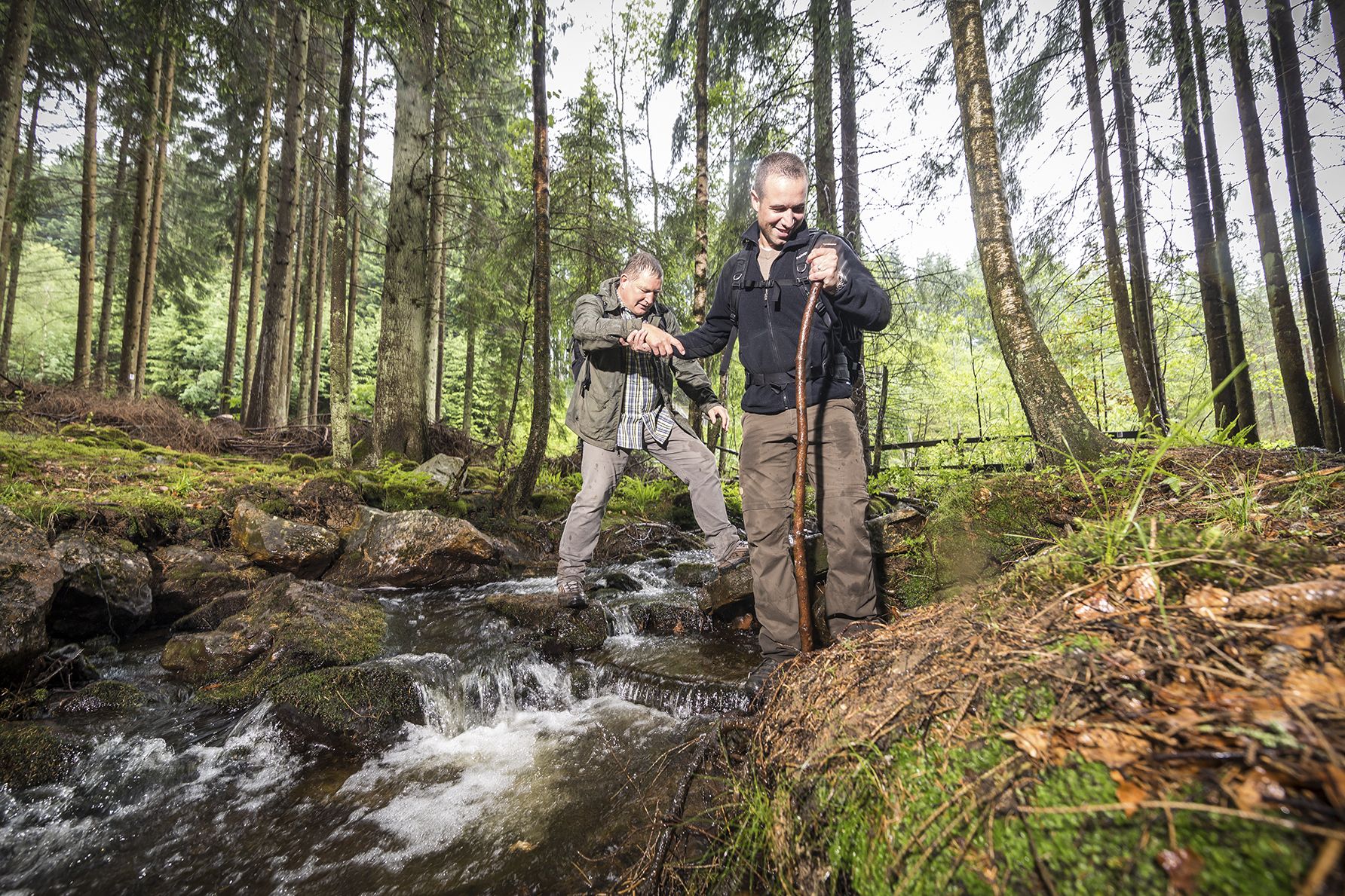
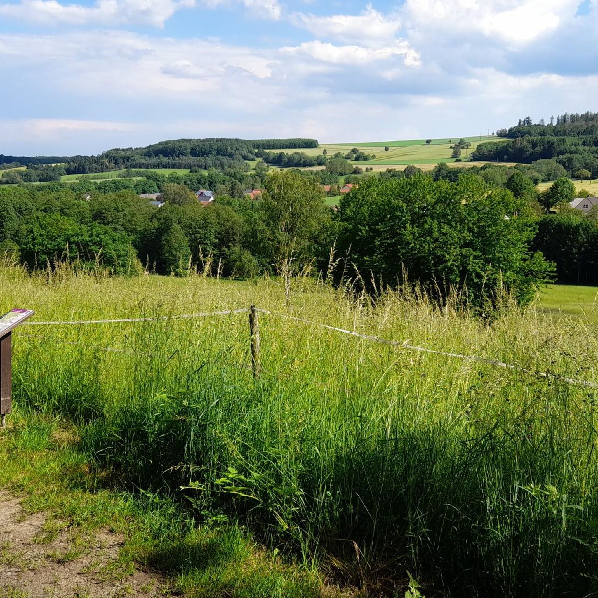
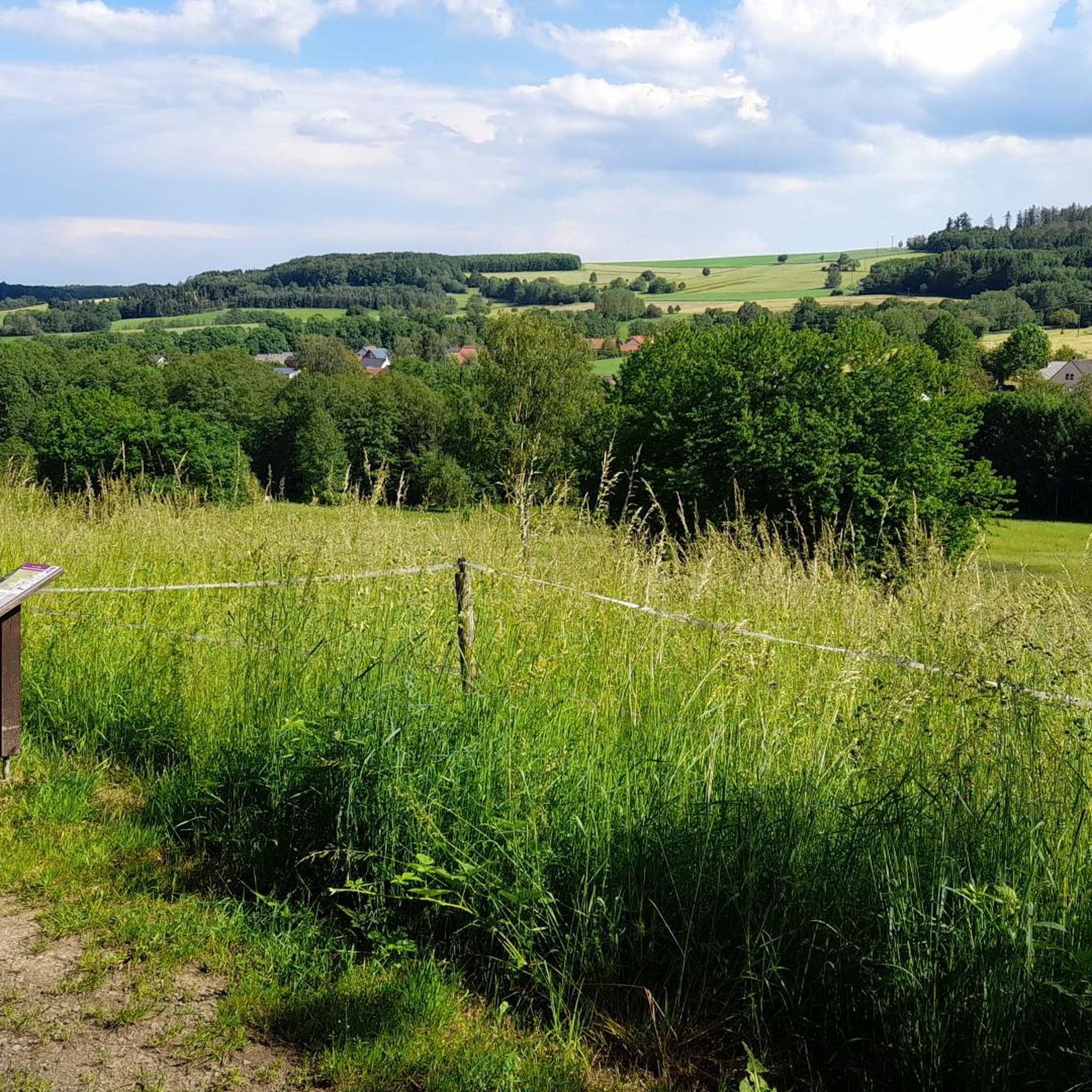
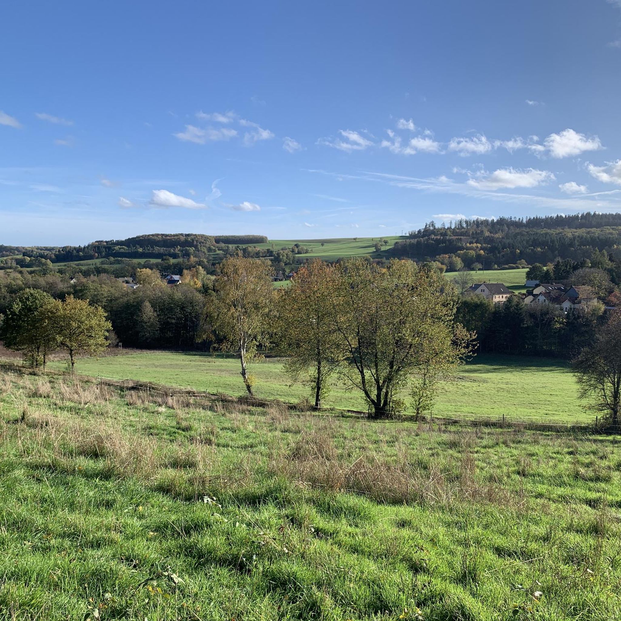
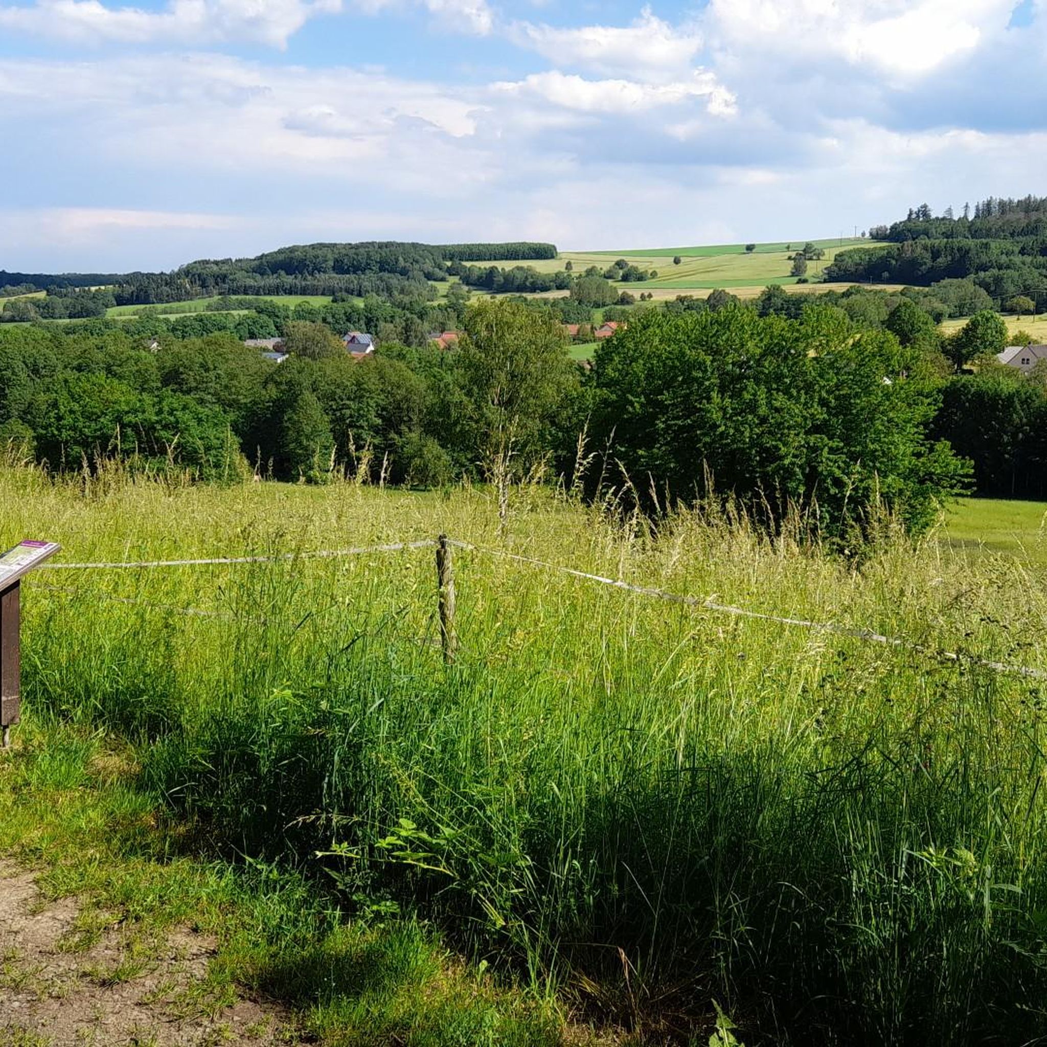
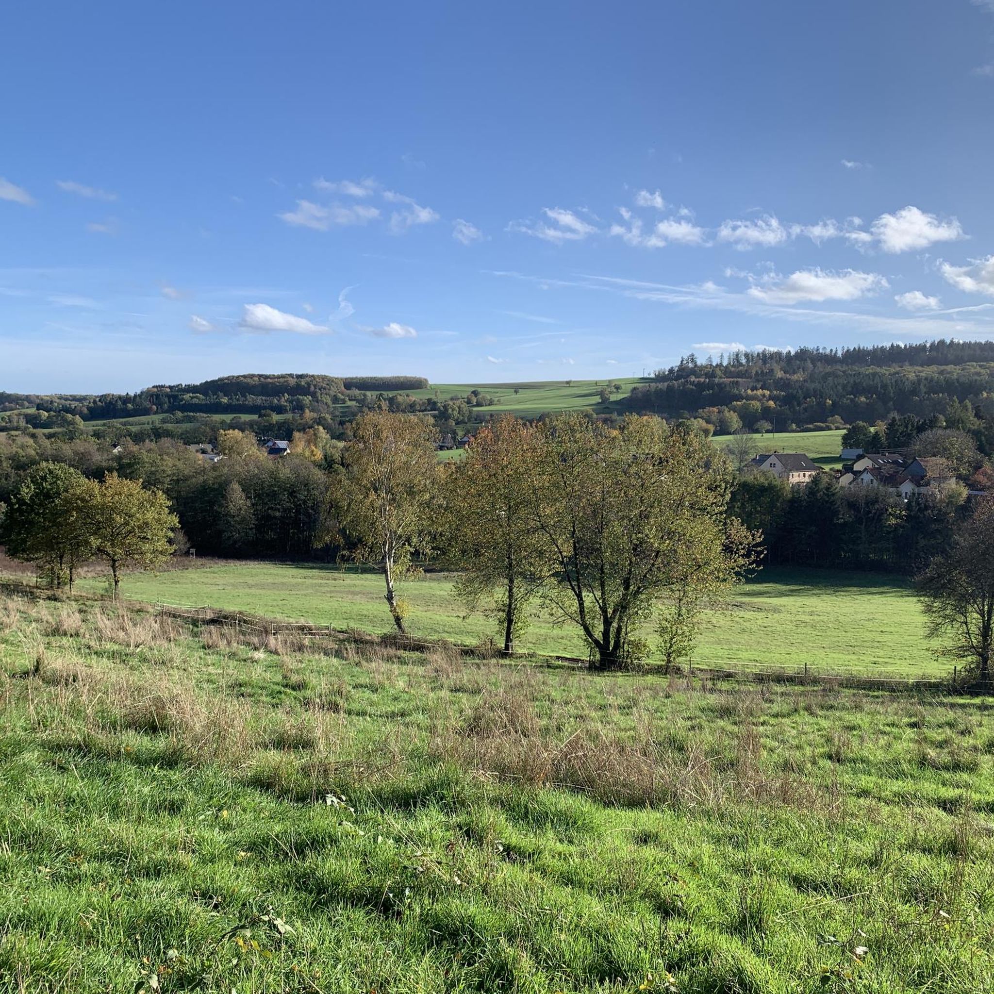
Other adventures around Oberhambach

Tips from the Community


Good paths, clearly signposted, very beautiful views and photo opportunities
0
0

Very well done, great panoramic view from up here.
0
0
And a branch office of the registry office 💁♂️😂
0
0

The Nonnweiler Reservoir is a perfect destination for hikers and cyclists, offering beautiful views of the lake and the surrounding nature. Popular highlights include the refuge at the reservoir, the historic charcoal kiln on the Dollberg, and various cycling paths with panoramic stops. The village offers relaxation, photo opportunities, and a combination of history and nature.
3
0
The circular trail around the Nonnweiler Reservoir offers relaxing nature experiences right by the water. On the well-maintained path, you'll enjoy magnificent views of the lake. Along the way, you'll find numerous places to linger and observe the birdlife. The route is family-friendly and ideal for hiking or cycling.
4
0
A narrow bridge over the Nonnweiler reservoir. Two cyclists cannot ride side by side here....
4
0
Frequently Asked Questions
What is the general difficulty level of gravel biking trails around Oberhambach?
The gravel biking trails around Oberhambach offer a mix of challenges. Out of 22 available routes, 8 are rated as moderate, and 14 are considered difficult. This means riders can expect varied terrain, from smooth gravel to more rugged sections, often with significant elevation changes.
Are there any longer gravel bike routes for experienced riders?
Yes, experienced riders looking for a longer challenge can explore routes like the View of Bostalsee from the dam – Wendelinus Cycle Path loop from Hoppstädten (Nahe), which covers 59.1 km (36.7 miles) with considerable elevation, or the Rail Trail Sankt Wendeler Land – Bierfelder Tunnel loop from Brücken, a 48.5 km (30.1 miles) route through historic landscapes.
What are some good gravel bike routes for beginners or those seeking a moderate ride?
For a moderate experience, the Luisenruh Rock Formation – View of the Traunbach Valley loop from Ellenberg is a great option. It's 29.5 km (18.3 miles) long and winds through natural rock formations with scenic views, offering a less strenuous but still rewarding ride.
What is the best time of year for gravel biking in Oberhambach?
The region's diverse landscape, with rolling hills and forest paths, is generally enjoyable from spring through autumn. Spring offers lush greenery, while autumn provides vibrant foliage. Summer is also suitable, but be prepared for potentially warmer temperatures. Winter conditions can vary, with snow and ice possible on higher elevations and shaded paths.
Which gravel bike routes offer the best scenic viewpoints in Oberhambach?
Many routes provide excellent views. The View of Bostalsee from the dam – Wendelinus Cycle Path loop from Hoppstädten (Nahe) offers extensive views of Bostalsee. Another route, the Luisenruh Rock Formation – View of the Traunbach Valley loop from Ellenberg, provides scenic vistas over the Traunbach Valley.
Are there any interesting landmarks or natural attractions to see along the gravel bike trails?
Yes, the area around Oberhambach is rich in natural beauty and points of interest. You can find highlights such as the Erbeskopf (highest point in Rhineland-Palatinate), which can be reached via routes like the Erbeskopf Observation Tower – Erbeskopf Viewpoint loop from Thalfang. Other attractions include the Kirschweiler Fortress and various scenic ponds like the Allenbacher Pond.
What do other gravel bikers enjoy the most about gravel biking in Oberhambach?
The area is highly rated by the komoot community, with an average score of 4.9 stars from over 7 reviews. Reviewers often praise the diverse landscape, the mix of challenging climbs and scenic routes, and the utilization of former rail trails and forest paths that define the region's gravel biking experience.
Are there any circular gravel bike routes in Oberhambach?
Many of the routes in Oberhambach are designed as loops. Examples include the View of Bostalsee from the dam – Wendelinus Cycle Path loop from Hoppstädten (Nahe), the Luisenruh Rock Formation – View of the Traunbach Valley loop from Ellenberg, and the Nonnweiler Reservoir – Nonnweiler Reservoir Loop loop from Brücken, all offering a convenient circular experience.
Is it possible to reach the gravel bike trails around Oberhambach using public transport?
While specific public transport connections to every trailhead are not detailed, many routes start from villages or towns that may have bus or train access. It's advisable to check local public transport schedules for connections to starting points like Hoppstädten (Nahe), Ellenberg, or Brücken, which are common starting locations for tours in the area.
Where can I find parking near the gravel bike trailheads in Oberhambach?
Most trailheads in the region, especially those starting from villages or popular recreational areas like Bostalsee, typically offer parking facilities. For specific routes, it's recommended to check the komoot tour details for information on designated parking areas near the starting points in towns such as Hoppstädten (Nahe), Ellenberg, Brücken, or Thalfang.
What essential gear should I pack for gravel biking in Oberhambach?
Given the varied terrain and potential for significant elevation changes, it's recommended to pack essentials such as a repair kit, sufficient water and snacks, appropriate clothing layers for changing weather, and a helmet. A GPS device or a loaded komoot app is also highly useful for navigation on the diverse network of paths.
Are there any less crowded gravel bike trails around Oberhambach?
While popular routes like those around Bostalsee can see more traffic, many of the forest paths and rail trails, especially those venturing deeper into the Hunsrück region, offer a more secluded experience. Exploring routes that start from smaller villages or are rated as difficult might lead to quieter rides.
Most popular routes around Oberhambach
Most popular attractions around Oberhambach

Get inspired with the komoot mobile app


Explore more
Browse the best Gravel rides in other regions.
