The best gravel rides around Abentheuer
4.7
(33)
152
riders
24
rides
Gravel biking around Abentheuer offers a diverse landscape characterized by rolling hills, dense woodlands, and scenic reservoirs. The region features varied terrain, including paths along water bodies and through forested areas, providing a mix of surfaces suitable for gravel bikes. Elevation changes are present, with routes navigating valleys and offering viewpoints over the surrounding countryside. The Hunsrück-Nahe region is known for its extensive network of forest, field, and gravel paths.
Best gravel bike trails around Abentheuer
- The most popular gravel…
Last updated: October 20, 2026
4.2
(6)
43
riders
46.2km
02:33
430m
430m
Moderate gravel ride. Good fitness required. Mostly paved surfaces. Suitable for all skill levels.
4.7
(6)
15
riders
Moderate gravel ride. Good fitness required. Mostly paved surfaces. Suitable for all skill levels.

5.0
(6)
25
riders
Moderate gravel ride. Good fitness required. Mostly paved surfaces. Suitable for all skill levels.
5.0
(2)
9
riders
Moderate gravel ride. Good fitness required. Mostly paved surfaces. Suitable for all skill levels.
5.0
(2)
7
riders
48.4km
03:07
720m
720m
Hard gravel ride. Very good fitness required. Mostly paved surfaces. Suitable for all skill levels.
Get access to more routes and recommendations from other explorers.
Already have an account?
Our route recommendations are based on thousands of hikes, rides, and runs completed by other people on komoot.
Start today with a free account
Your next adventure awaits.
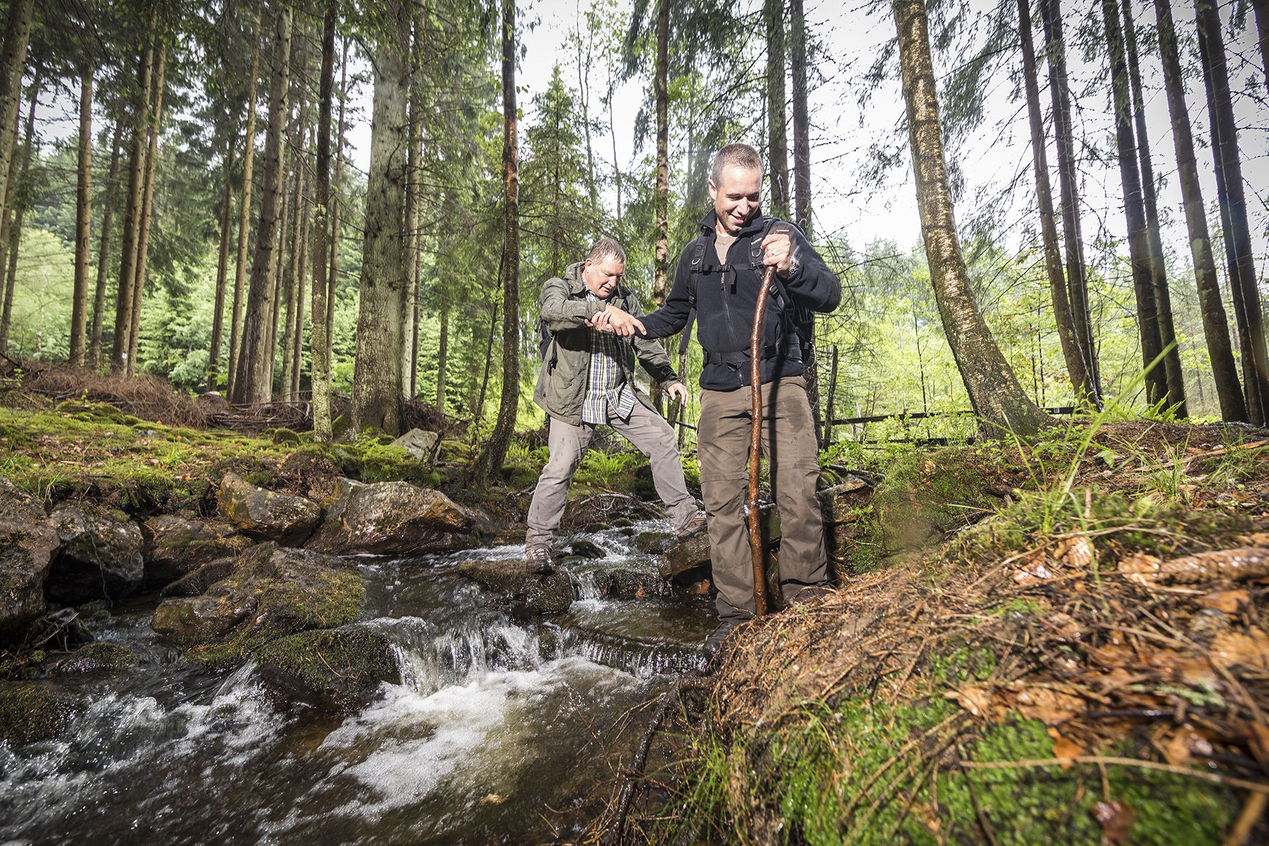
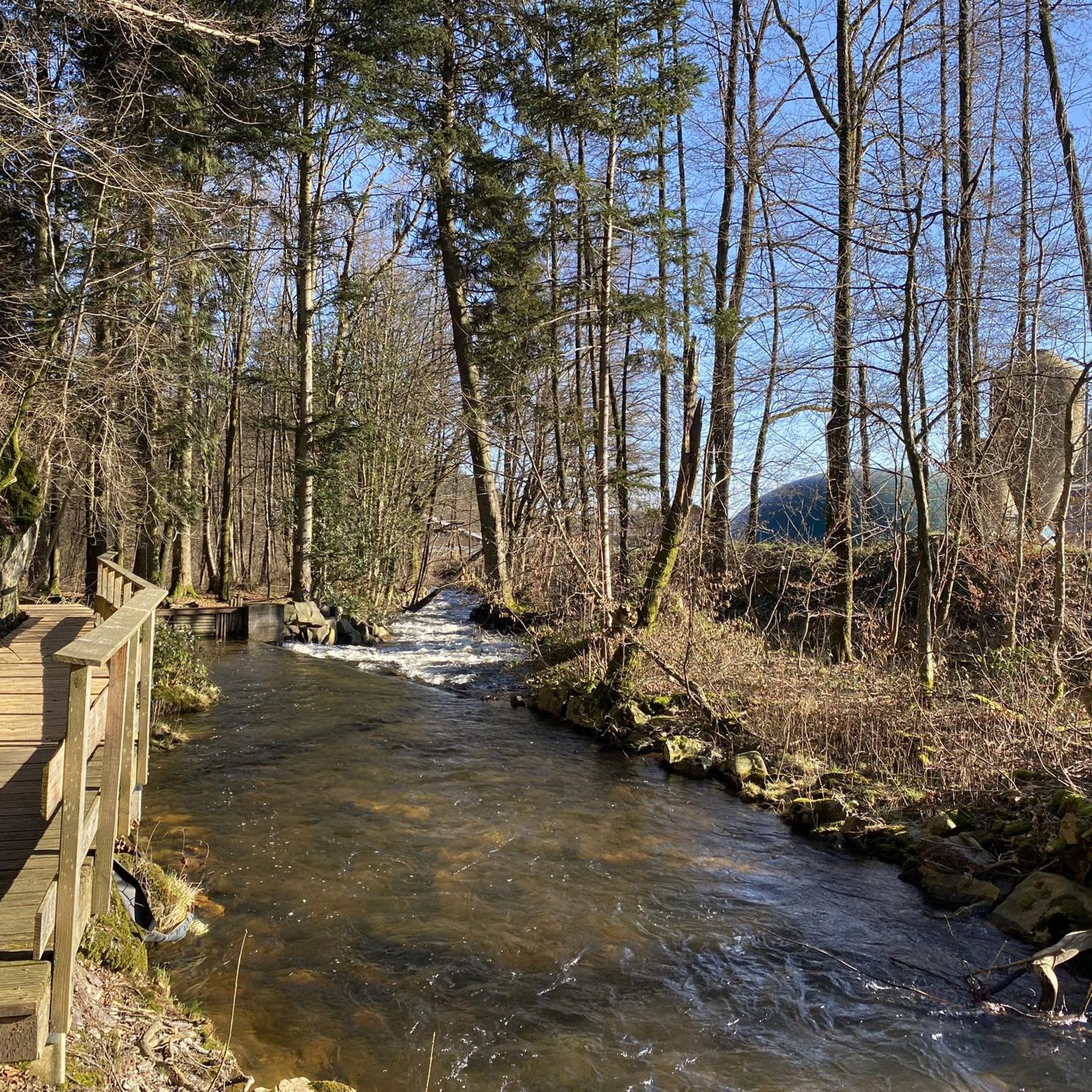

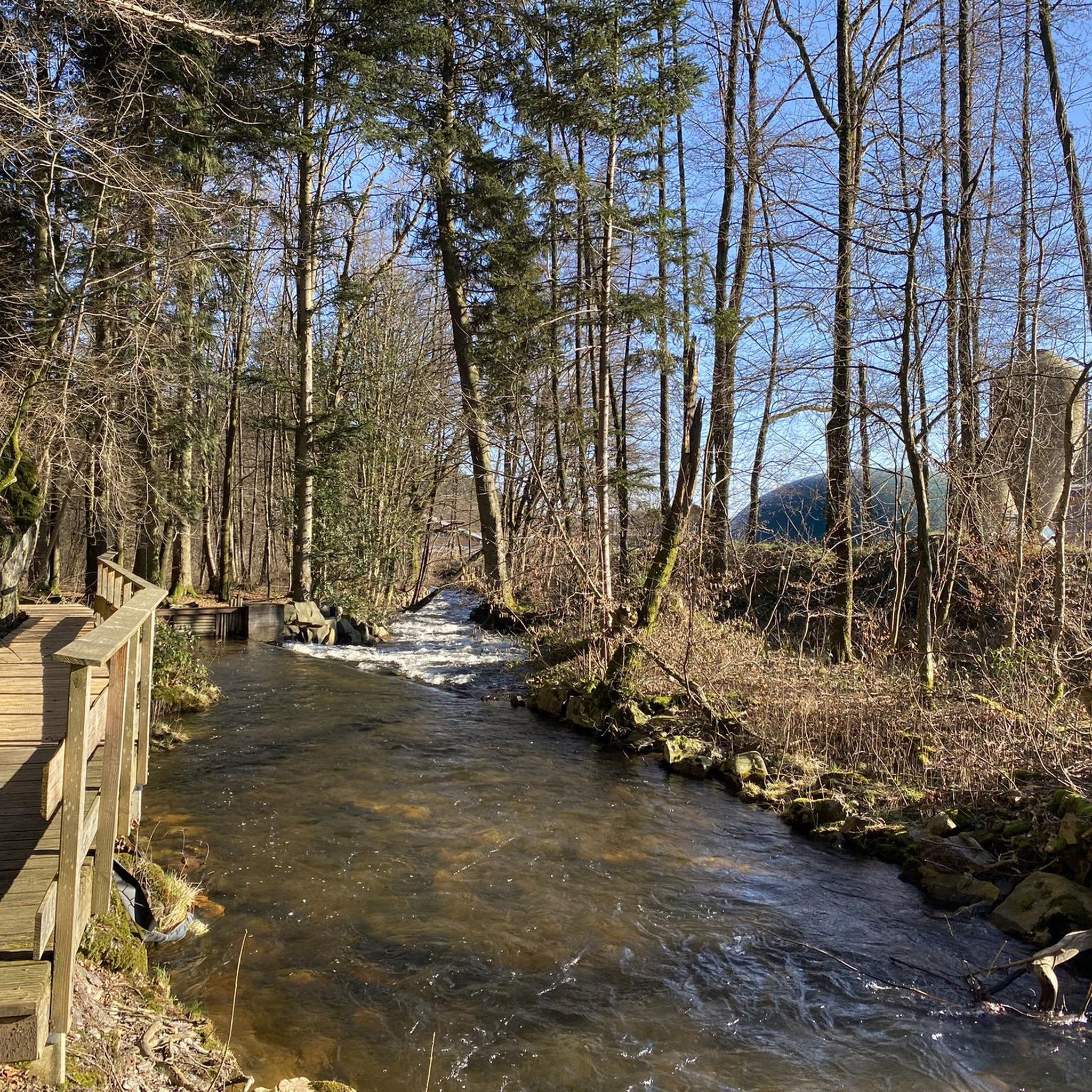
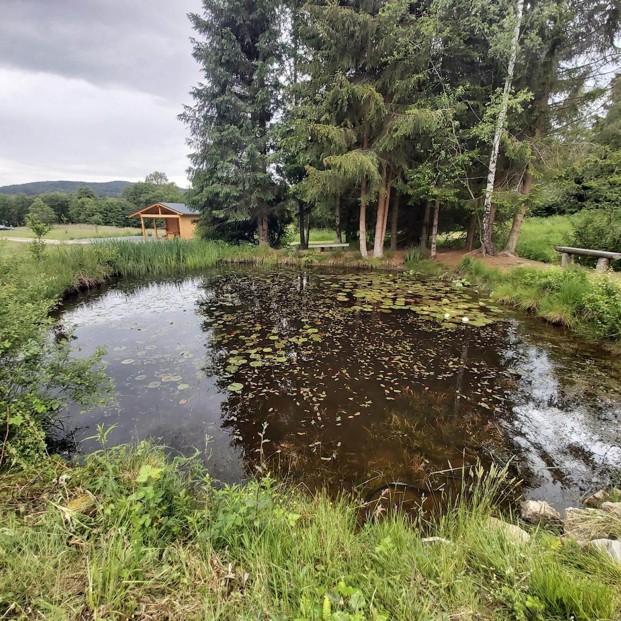
Other adventures around Abentheuer

Tips from the Community

Cycle path over the former railway tracks in the Sankt Wendeler Land. The cycle path has only gentle gradients and you will see elements along the way that recall the history of the old railway, such as former station buildings and railway tunnels.
2
0
This tunnel really gives you the feeling that you are cycling on a former railway track. It can be dark, so lights are handy, but the tunnel is not too long.
1
0

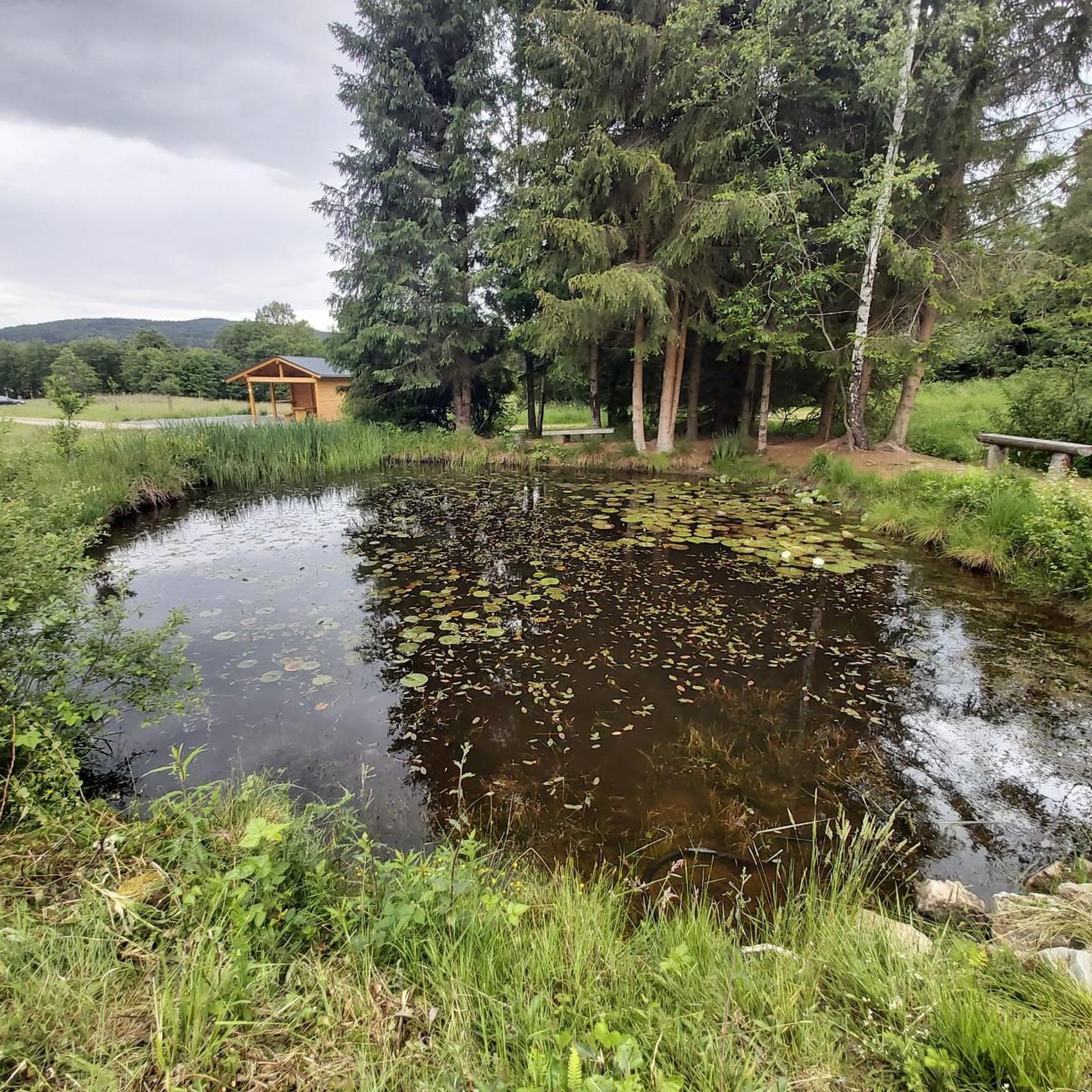
A very beautiful place, very idyllic,
0
0

Bahnradweg Tunnel near Nonnweiler ... very well lit
0
0

the bostasee staudamm , circa 300 m long with benches overlooking the lake
1
0

A beautiful lake that can be perfectly circled on foot. You can park directly at the dam wall and one lap is about 8km.
1
0


Good paths, clearly signposted, very beautiful views and photo opportunities
0
0
Frequently Asked Questions
How many gravel bike trails are available around Abentheuer?
There are over 30 gravel bike trails in the Abentheuer region, offering a wide range of options for different skill levels and preferences. These routes navigate through diverse landscapes, including dense woodlands and scenic reservoirs.
What is the general difficulty level of gravel biking routes in Abentheuer?
The routes around Abentheuer are primarily categorized as moderate to difficult. You'll find 16 moderate routes and 14 difficult routes, ensuring options for both experienced riders and those looking for a challenge. For example, the Nonnweiler Reservoir – Nonnweiler Reservoir Loop is a popular moderate option.
Are there any family-friendly gravel bike trails near Abentheuer?
While many routes feature varied terrain and elevation changes, some moderate trails can be suitable for families with older children or those comfortable with longer distances. The Luisenruh Rock Formation – View of the Traunbach Valley loop from Ellenberg is a moderate 29.5 km route that offers scenic views without extreme difficulty.
What kind of views or landmarks can I expect along the gravel bike trails?
Many routes offer stunning views of the region's natural beauty. You can expect paths along reservoirs, through forests, and to various viewpoints. Notable landmarks include the Erbeskopf (highest point in Rhineland-Palatinate) and the Dollberg – Highest point in Saarland. The Nonnweiler Reservoir – View of the Züsch Reservoir loop from Schwarzenbach specifically offers views of both reservoirs.
Are there any circular gravel bike routes in the Abentheuer area?
Yes, many of the gravel bike routes around Abentheuer are designed as loops, allowing you to start and end at the same point. Examples include the View of Bostalsee from the dam – Wendelinus Cycle Path loop from Hoppstädten (Nahe) and the Rail Trail Sankt Wendeler Land – Bierfelder Tunnel loop from Brücken.
What is the best time of year for gravel biking in Abentheuer?
The region is generally enjoyable for gravel biking from spring through autumn, when the weather is mild and the trails are dry. The dense woodlands provide shade in summer, and the autumn colors are particularly beautiful. Winter riding is possible, but conditions can be challenging with potential for ice or snow, especially at higher elevations.
Are there any specific attractions or historical sites to visit near the trails?
Beyond natural viewpoints, the region offers interesting historical sites. You can find the Stone Steps on the Celtic Ring Wall (Hunnenring) and the Züscher Hammer, an old ironworks. Some routes might pass close to these points of interest, offering a chance to explore.
What do other gravel bikers enjoy most about the Abentheuer region?
The area is highly rated by the komoot community, with an average score of 4.6 stars from over 20 reviews. Riders frequently praise the diverse landscape, the mix of surfaces suitable for gravel bikes, and the scenic paths along reservoirs and through forested sections.
What kind of gear is recommended for gravel biking in Abentheuer?
Given the varied terrain, including paths along water bodies and through forested areas, a well-maintained gravel bike with appropriate tires for mixed surfaces is recommended. Layered clothing is advisable due to potential elevation changes and varying weather conditions. Always carry water, snacks, a repair kit, and navigation tools.
Are there options for advanced gravel bikers looking for a challenge?
Yes, Abentheuer offers 14 routes categorized as difficult, featuring more significant elevation changes and potentially more technical sections. These routes provide a robust challenge for experienced gravel bikers. An example is the View of Bostalsee from the dam – Wendelinus Cycle Path loop from Hoppstädten (Nahe), which covers nearly 60 km with substantial climbing.
Are there any hidden gem gravel trails that are less frequented?
While popular routes like those around the Nonnweiler Reservoir are well-loved, exploring some of the less-trafficked routes can reveal quieter sections of the region. Look for routes that venture deeper into the national park areas or connect smaller villages, as these often offer a more secluded experience. The komoot app can help you discover these less-known paths.
Most popular routes around Abentheuer
Most popular attractions around Abentheuer

Get inspired with the komoot mobile app


Explore more
Browse the best Gravel rides in other regions.
