The best gravel rides around Hackenheim
4.6
(28)
129
riders
33
rides
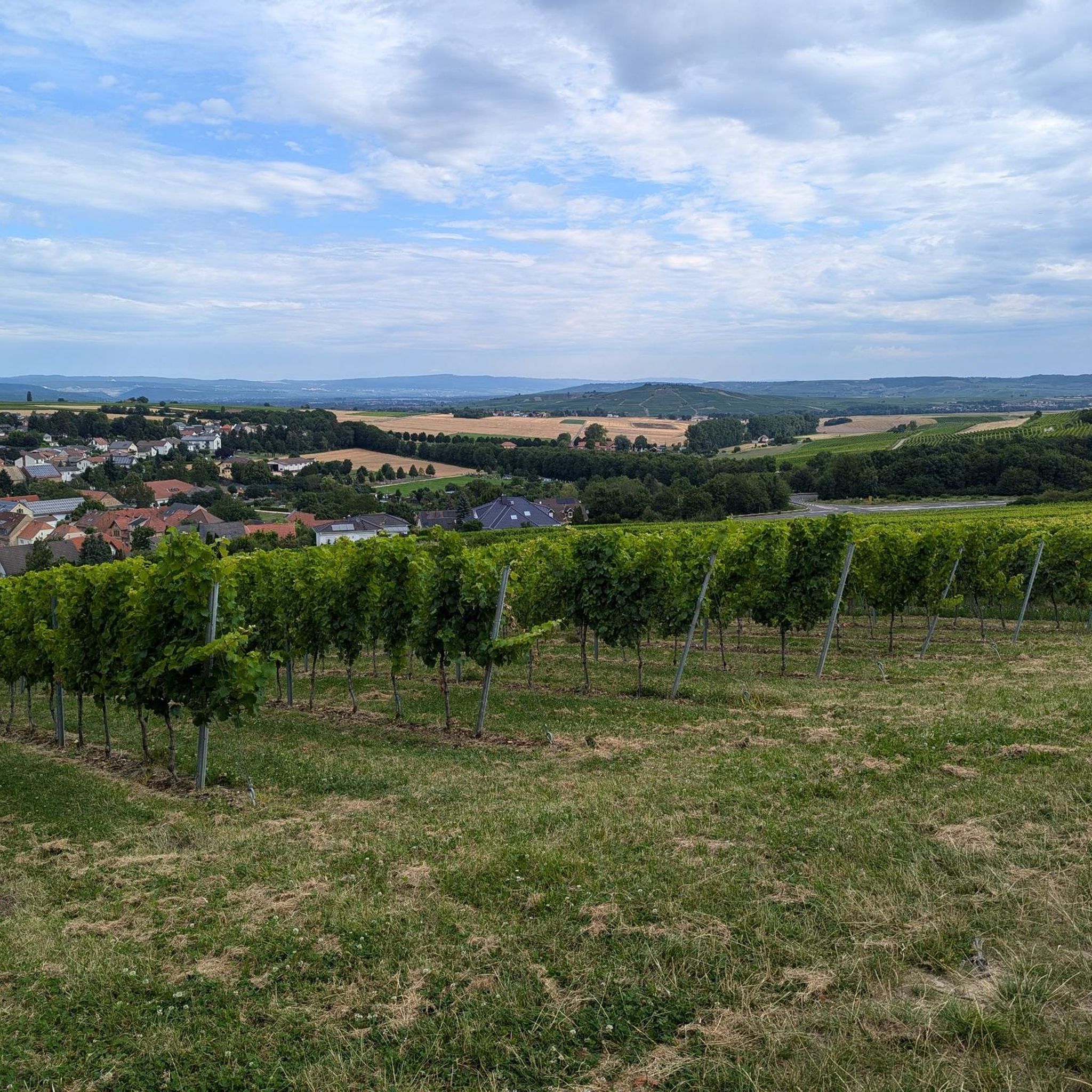
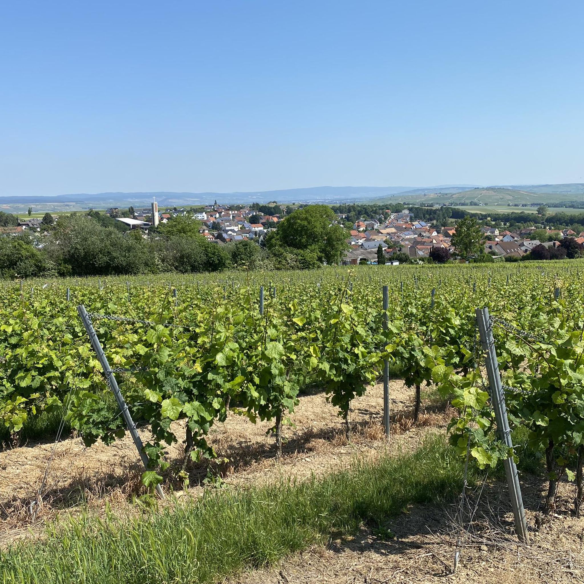
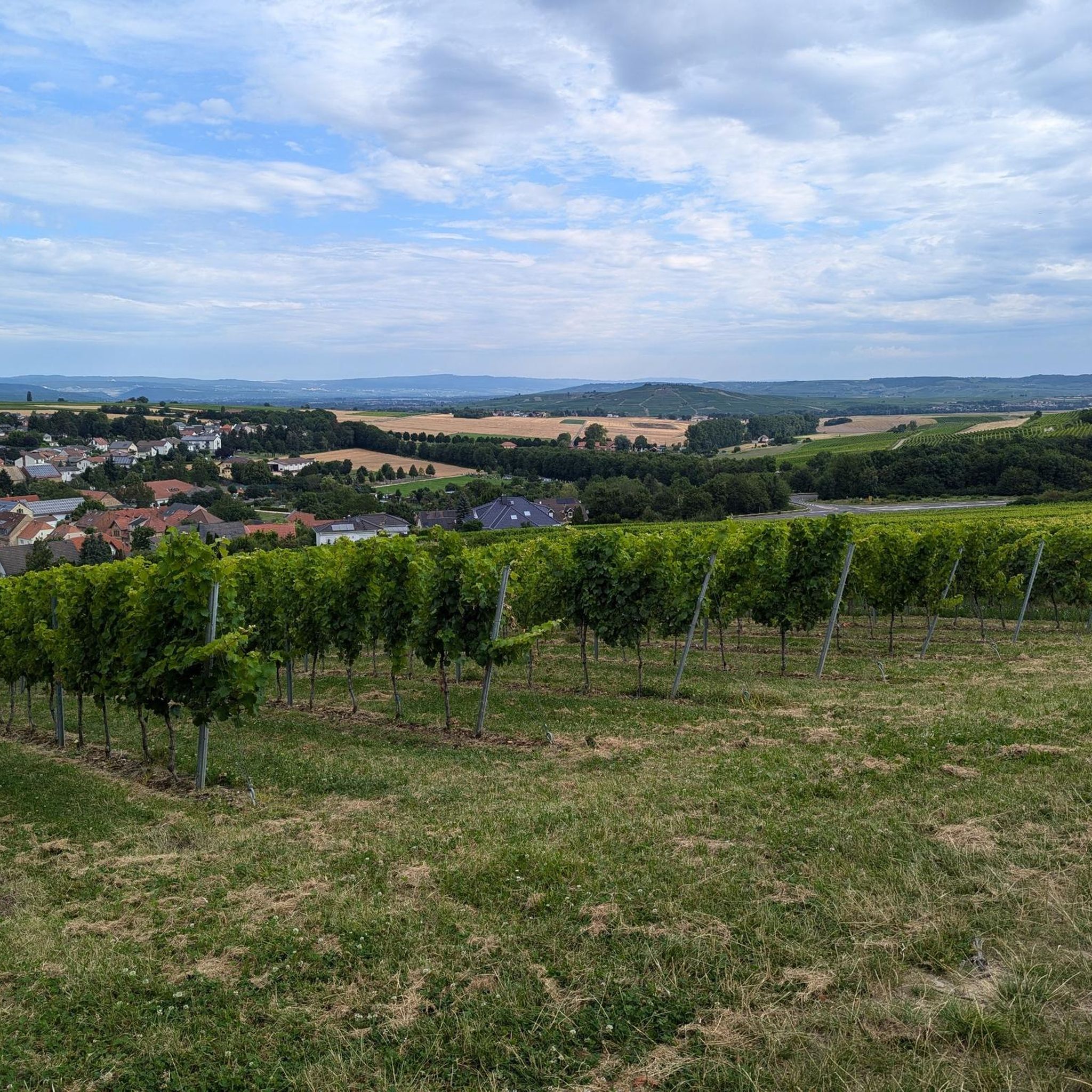
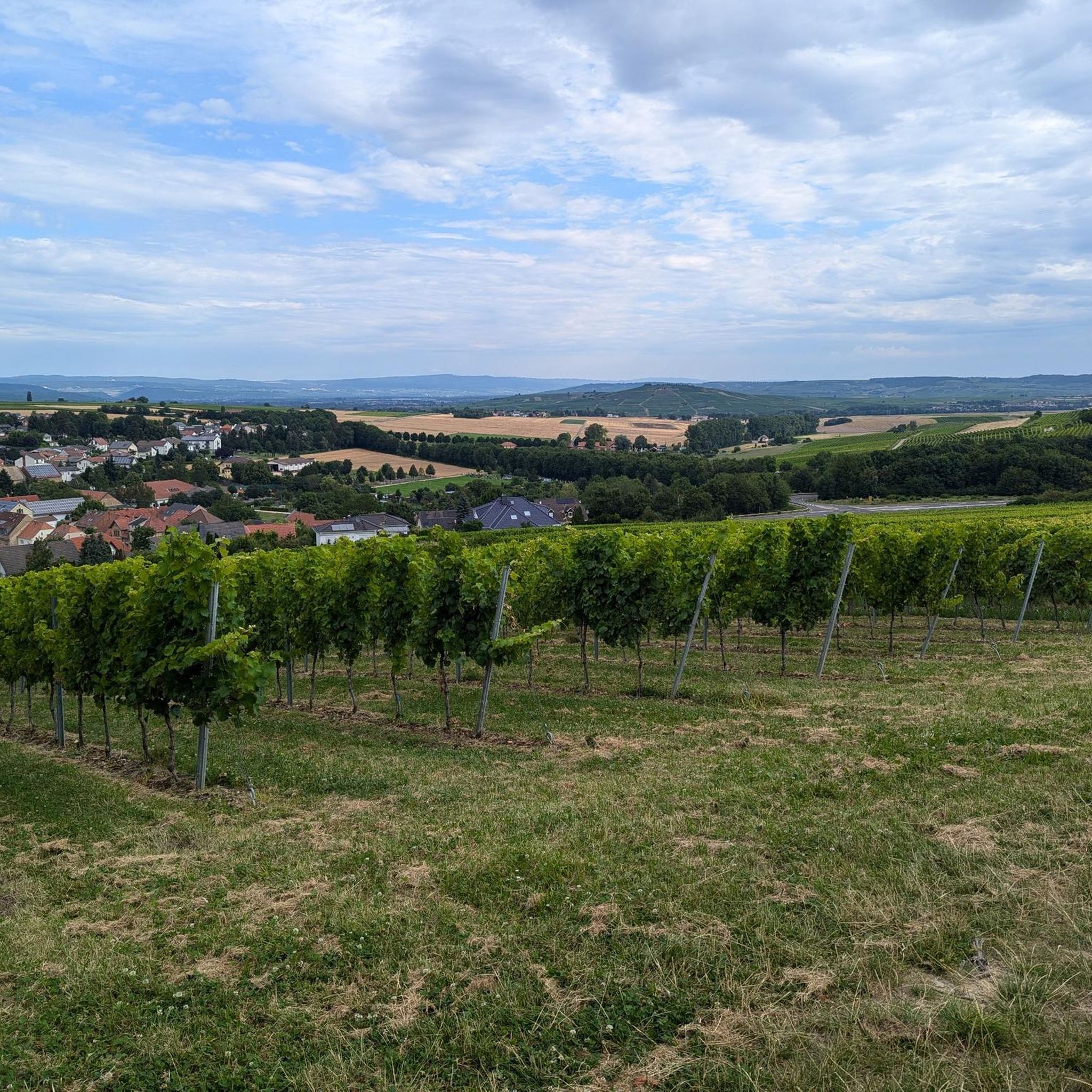
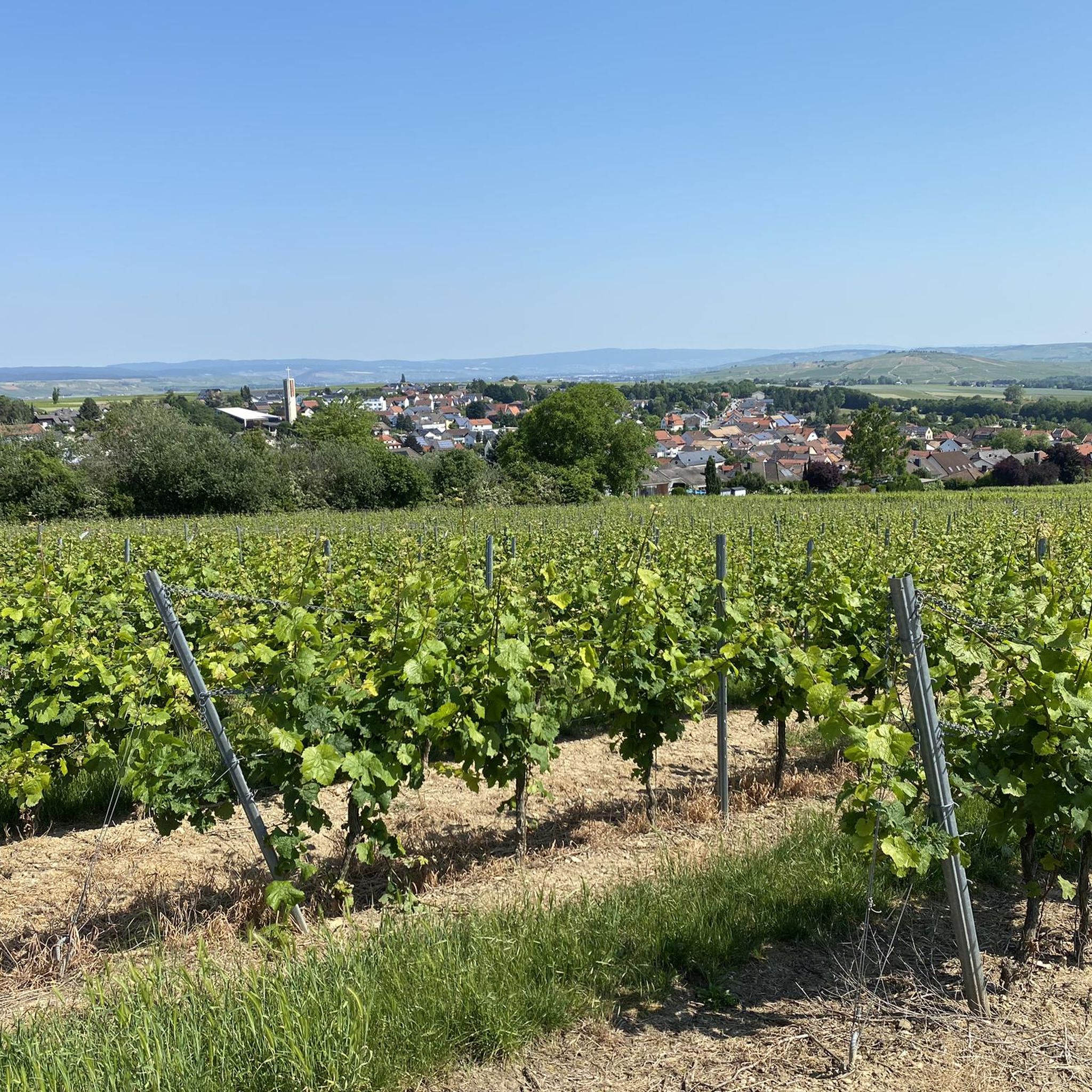
Gravel bike trails around Hackenheim traverse a diverse landscape, characterized by rolling vineyards and the scenic Nahe valley. The region features prominent natural landmarks such as the Rotenfels, considered the highest rock face between the Alps and Scandinavia. This terrain offers a mix of surfaces, from paved roads to loose gravel paths, suitable for various gravel biking experiences. The area's topography includes both challenging climbs and picturesque trails, providing a dynamic environment for riders.
Best gravel bike trails around Hackenheim
…Last updated: July 3, 2026
4.3
(3)
24
riders
68.6km
04:59
670m
670m
Hard gravel ride. Very good fitness required. Some segments of this route may be unpaved and difficult to ride.
5.0
(3)
21
riders
Hard gravel ride. Very good fitness required. Mostly paved surfaces. Suitable for all skill levels.

Sign up for free
4.8
(5)
15
riders
19.0km
01:07
140m
140m
Easy gravel ride. Great for any fitness level. Mostly paved surfaces. Suitable for all skill levels.
5.0
(2)
10
riders
Hard gravel ride. Very good fitness required. Mostly paved surfaces. Suitable for all skill levels.
14
riders
54.5km
03:09
410m
410m
Moderate gravel ride. Good fitness required. Mostly paved surfaces. Suitable for all skill levels.
Get access to more routes and recommendations from other explorers.
Sign up for free
Already have an account?
Our route recommendations are based on thousands of hikes, rides, and runs completed by other people on komoot.
Start today with a free account
Your next adventure awaits.
Login or Signup
Tips from the Community

You don't see a wall like this very often in flat country
7
0

The water wheel between the Kurmittelhaus in Bad Münster am Stein and the Nahe had to be decommissioned due to dilapidation. The water wheel at the old brine reservoir was built in 1993 by a Bad Kreuznach carpentry company from larch wood. It has a diameter of nine meters. Metal bands and steel bolts hold the wooden elements together.
2
0

Very nice cycle path 🚴♂️
0
0

In addition to the beautiful view, you can also enjoy a delicious ice cream from the ice cream parlor on the corner.
2
0

Rotenfels: Alpine feeling on the bike path! Watch out, a giant is in sight! Shortly after Bad Münster am Stein-Ebernburg, you pass the Rotenfels massif, the highest cliff face in Germany north of the Alps. We're talking about over 200 meters of pure rock, rising vertically above the Nahe River. This isn't a hill anymore; it's a geological shocker! The entire mass consists of reddish porphyry rock, which glows fiery red, especially in the evening (or in good light). Truly spectacular. From the bike path, you can see the full force of it. You suddenly feel very small, which can be quite relaxing after 50 kilometers in the saddle. Fun fact: Up on the Rotenfels is a climbing area – only for pros! I prefer to stay on my 25mm tire asphalt and enjoy the view from below. No need to climb too high; the panorama from here is already unbeatable! My tip: Stop and enjoy the moment. Take a photo with this rock colossus as proof.
1
0
👑 Rheingrafenstein Castle Ruins – The Rock Boss on the Cycle Path Tip: Stop here! The Rheingrafenstein ruins sit dramatically perched on a 136-meter-high porphyry cliff above the Nahe River – one of the most impressive sights of the entire tour. The castle was the ancestral seat of the famous Wildgraves and Rhinegraves (until it was blown up in 1689). The view from the cycle path is phenomenal! If you really want to go up (and have enough energy), you can take the small hand-pulled ferry across and take the steep hiking trail to the ruins. It's worth it for the view over the Nahe Valley, but honestly: My legs were already tired enough from cycling. The panoramic view from below is worth its weight in gold! A must-have for your photo collection!
1
0

Rheingrafenstein Castle sits enthroned on a steep porphyry cliff (245 meters high) directly above the Nahe River near Bad Münster am Stein-Ebernburg. Legend has it that the devil himself built the castle—a reference to its dramatic location and mystical aura. In fact, it likely dates back to the 11th century and was the ancestral seat of the Lords of Stein, later the Wildgraves and Rhinegraves. In 1689, it was blown up by French troops under Louis XIV, and since then it has been a ruin—but an extremely impressive one.
3
0

Six-arched stone bridge, built in 1889 by Prince Luitpold of Bavaria. The border between Prussia and Bavaria once ran here.
3
0
Frequently Asked Questions
How many gravel bike trails are available around Hackenheim?
There are over 60 gravel bike trails around Hackenheim, offering a wide range of options for different skill levels and preferences.
What kind of difficulty levels can I expect on Hackenheim's gravel bike trails?
Hackenheim offers a diverse range of gravel bike trails. You'll find a few easy paths, around 27 moderate routes, and over 40 difficult trails, ensuring options for beginners and experienced riders alike.
What natural landmarks and scenic viewpoints can I discover while gravel biking near Hackenheim?
The region is rich in natural beauty. You can encounter the impressive Rotenfels Cliff, considered the highest rock face between the Alps and Scandinavia, which is a prominent feature on many routes. Other notable viewpoints include the View of Bad Münster am Stein-Ebernburg from the Rotenfels, the View from the Gans (Bad Kreuznach), and the View of the Nahe Valley from Lemberghütte Observation Platform. You might also pass by the serene Silver Lake in the Lemberg Nature Reserve.
Are there any historical or architectural points of interest along the gravel routes?
Yes, you can explore historical sites such as the Rheingrafenstein Castle Ruins. The nearby town of Bad Kreuznach also features unique Bridge Houses and a tranquil Spa Park with historic Salt Pans.
What do other gravel bikers enjoy most about the trails in Hackenheim?
The gravel biking experience in Hackenheim is highly rated by the komoot community, with an average score of 4.6 stars from over 40 reviews. Riders often praise the diverse landscape, which includes rolling vineyards, the scenic Nahe valley, and the dramatic Rotenfels cliff, offering a dynamic and engaging environment.
Are there any family-friendly gravel biking options around Hackenheim?
While many routes are more challenging, there are a few easier paths suitable for families. For instance, the Niederhausen Dam – Rotenfels Cliff loop from Bad Münster am Stein is an easy 11.7-mile trail that offers a taste of the region's beauty without excessive difficulty.
Can I find circular gravel bike routes in Hackenheim?
Yes, many of the gravel bike trails around Hackenheim are designed as loops, allowing you to start and end at the same point. An example is the Nahe River at Rheingrafenstein – View of Rheingrafenstein Castle loop from Bad Kreuznach, which offers a scenic circular journey.
What is the best time of year to go gravel biking in Hackenheim?
The region around Hackenheim is beautiful throughout the year, with vineyards offering picturesque routes that change with the seasons. Spring and autumn generally provide pleasant temperatures and stunning scenery, while summer is ideal for longer days. Winter rides are possible, but be mindful of weather conditions.
Are there places to eat or rest along the gravel bike trails?
Yes, you can find places to refuel or rest. For example, the Waldheim is a restaurant, and the Bismarck Hut offers a place to stop. The Aulheimer Tal trailhead and shelter also provides facilities.
Where can I park my car when starting a gravel bike tour in Hackenheim?
While specific parking locations for every trailhead are not listed, Hackenheim and nearby towns like Bad Kreuznach and Bad Münster am Stein offer various parking options. It's advisable to check local parking availability near your chosen starting point.
Can I reach Hackenheim by public transport with my bike?
Hackenheim is located in the Nahe region, which is generally accessible by public transport. Many regional trains and buses in Germany allow bikes, often with a special ticket. It's recommended to check the specific public transport provider's rules and schedules for bike carriage before your trip.
Are there any particularly long or challenging gravel routes for experienced riders?
Experienced riders will find plenty of challenging options. The Vineyards, Nahe valley and the Rotenfels around Bad Kreuznach route is a difficult 42.6-mile trail with significant elevation gain, offering expansive views and a demanding ride. Another long option is the Fairy Tale Figures Trail – View of Rheingrafenstein Castle loop from Bad Münster am Stein, which spans over 50 miles.
Most popular routes around Hackenheim
Most popular attractions around Hackenheim

Get inspired with the komoot mobile app


Explore more
Browse the best Gravel rides in other regions.
