The best gravel rides around Reich
4.5
(32)
128
riders
52
rides
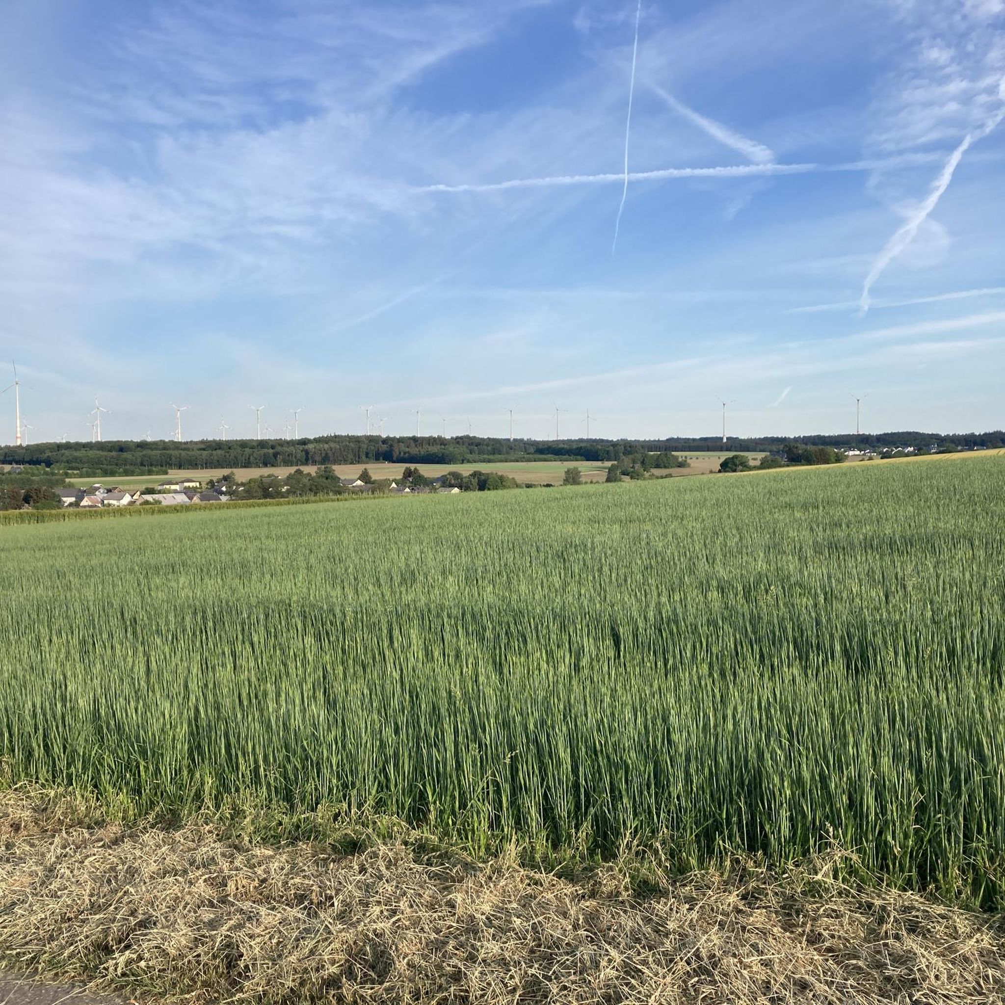
Gravel biking around Reich offers a network of trails through varied landscapes, characterized by rolling terrain, dense woodlands, and former railway lines converted into cycling paths. The region features a mix of gentle gradients and more challenging ascents, providing diverse options for gravel cyclists. These routes often follow river valleys and connect small towns, showcasing the area's natural and historical features. The network includes converted railway paths, forested sections, and rolling hills.
Best gravel bike trails around Reich
- The most…
Last updated: October 19, 2026
4.6
(8)
18
riders
Moderate gravel ride. Good fitness required. Mostly paved surfaces. Suitable for all skill levels.
4.6
(5)
27
riders
Moderate gravel ride. Good fitness required. Mostly paved surfaces. Suitable for all skill levels.

4.0
(1)
8
riders
22.1km
01:19
200m
200m
Moderate gravel ride. Good fitness required. Mostly paved surfaces. Suitable for all skill levels.
5.0
(2)
14
riders
Moderate gravel ride. Good fitness required. Mostly paved surfaces. Suitable for all skill levels.
3.3
(6)
9
riders
43.2km
02:40
570m
570m
Hard gravel ride. Very good fitness required. Mostly paved surfaces. Suitable for all skill levels.
Get access to more routes and recommendations from other explorers.
Already have an account?
Our route recommendations are based on thousands of hikes, rides, and runs completed by other people on komoot.
Start today with a free account
Your next adventure awaits.
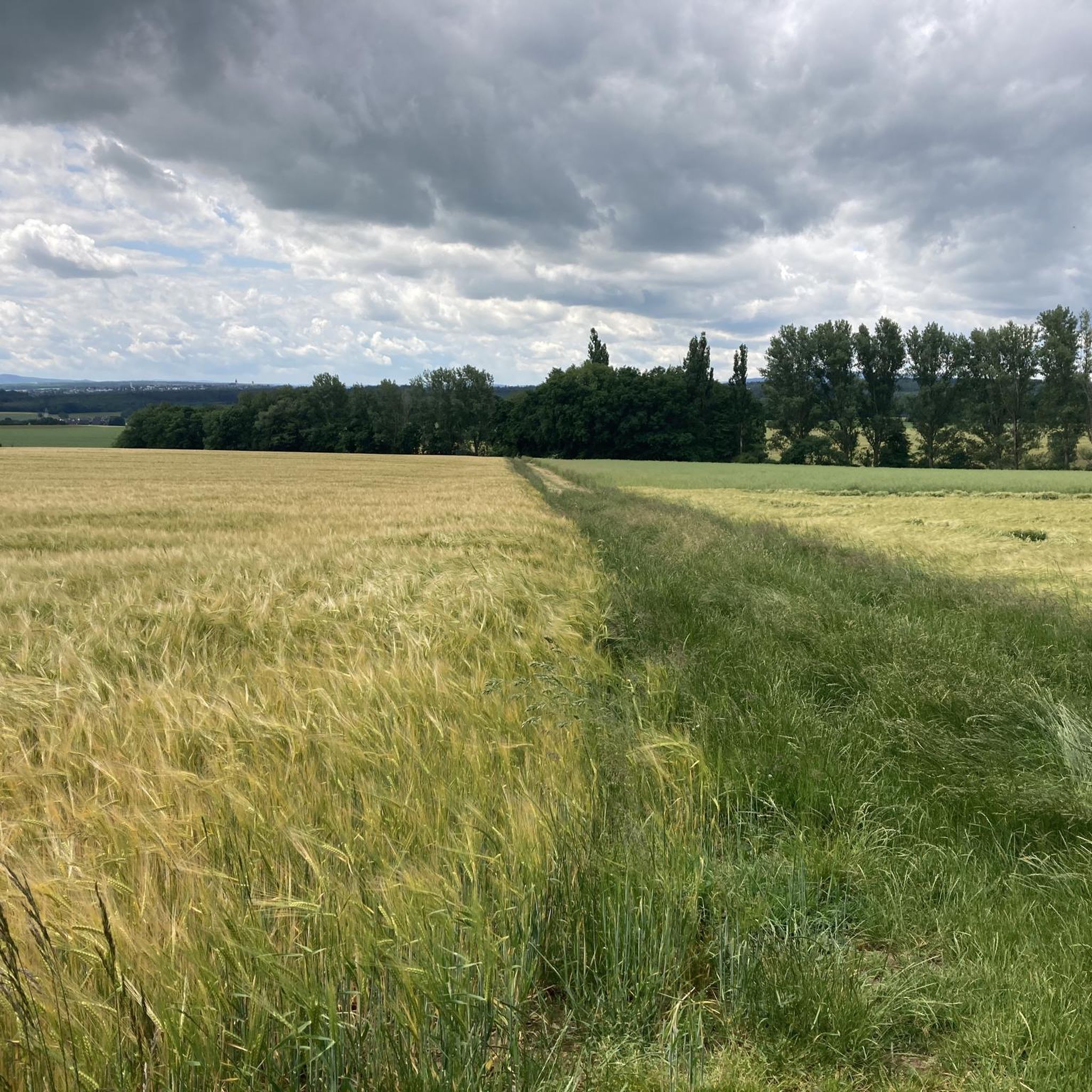
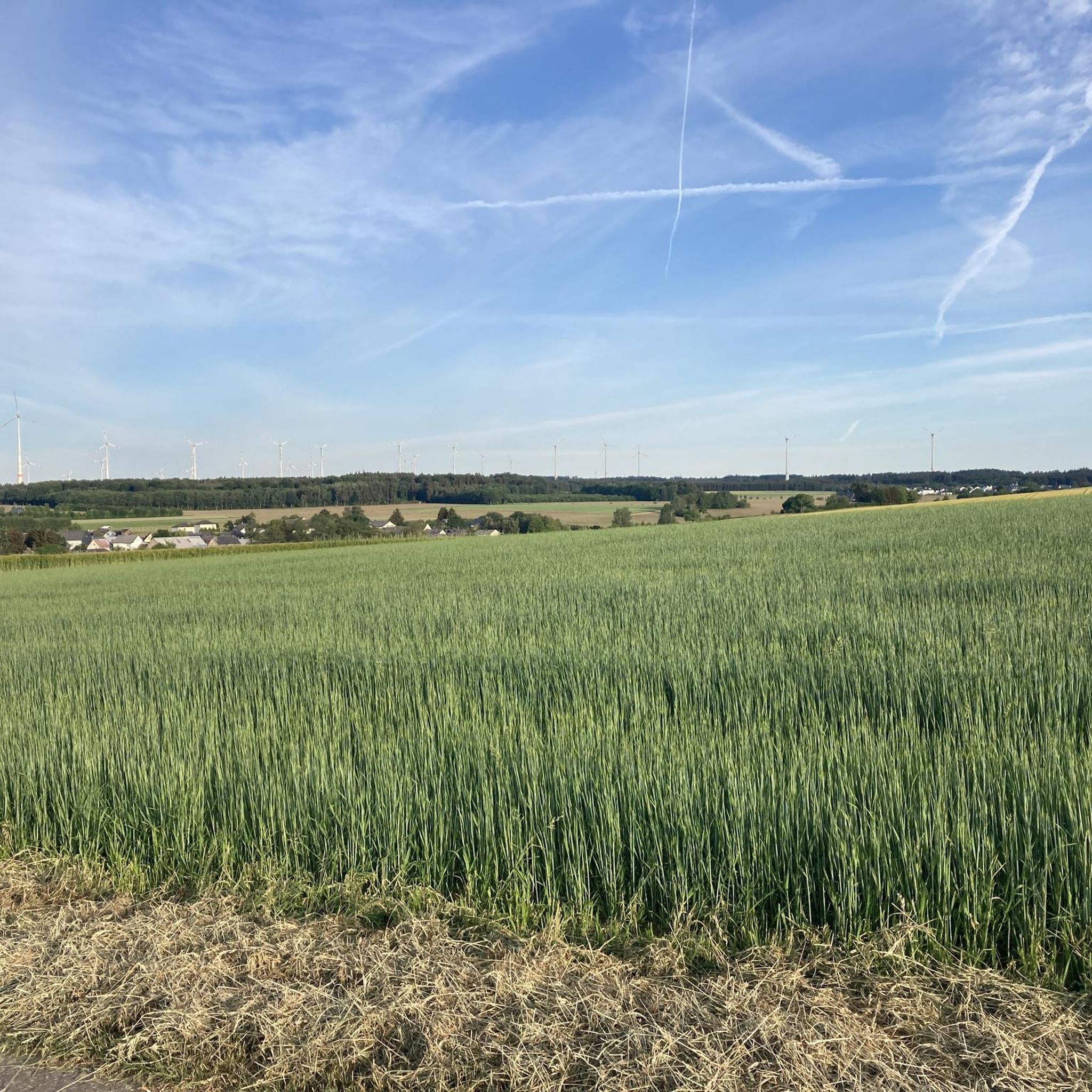
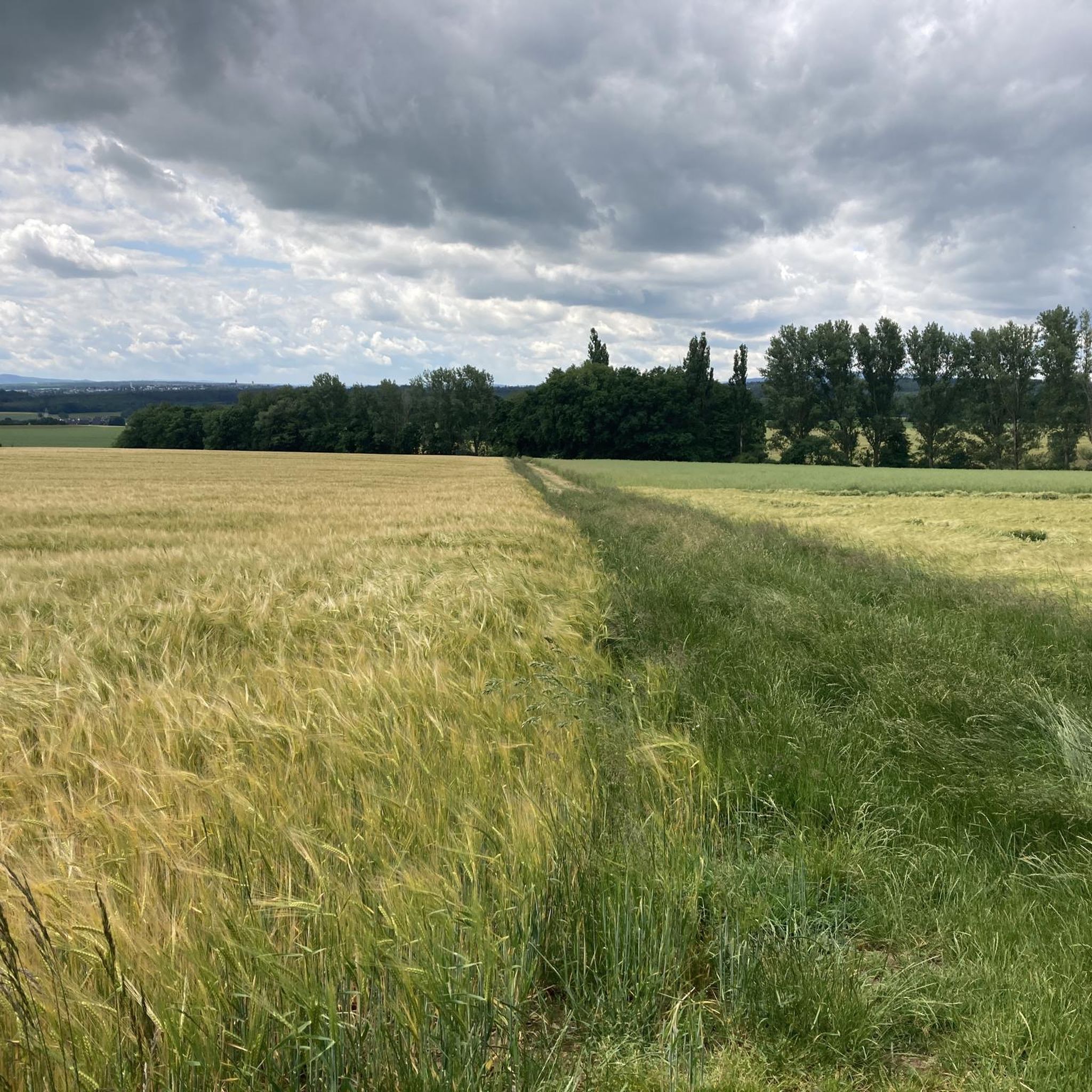
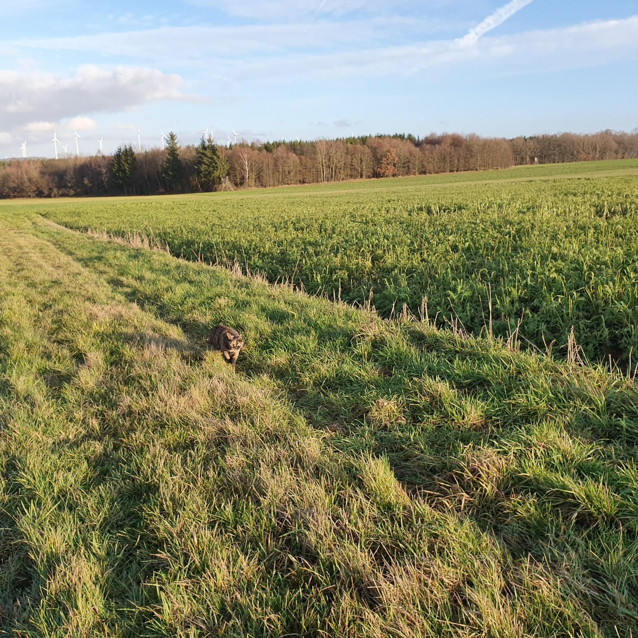
Tips from the Community

Very nice cycle path, between Simmer and Emmelshausen
0
0

this is not the Bienenberg! Nearby is the former Binnenberger mill, which is probably why it's called Binnenberg. The Klingelfloß forest worker protection hut probably also belongs to it.
0
0

The inn will be closed on 31/10/2026.
0
0
Nicely laid out, looks nice.
0
0
A cycle path is always worthwhile
0
0
It's always a pleasure to drive.
0
0
Here we are in the Brühlbach Valley. The Brühlbach rises near Argenthal and flows into the Lametbach in Mengerschied.
0
0
Frequently Asked Questions
How many gravel bike trails are available around Reich?
There are over 70 gravel bike trails around Reich, offering a wide range of options for different preferences and skill levels.
What kind of terrain can I expect on gravel bike trails in Reich?
The gravel biking trails around Reich are characterized by rolling terrain, dense woodlands, and former railway lines that have been converted into cycling paths. You'll find a mix of gentle gradients and more challenging ascents, often following river valleys and connecting small towns.
Are there options for different skill levels on the gravel trails in Reich?
Yes, the network of routes in Reich offers options for various ability levels. You can find easy loops, moderate paths, and more difficult routes with significant elevation gain. Out of 70 available tours, 2 are considered easy, 34 are moderate, and 34 are difficult.
What do other gravel bikers say about the trails in Reich?
The gravel biking routes in Reich are highly rated by the komoot community, with an average score of 4.4 stars from over 20 reviews. More than 140 gravel bikers have used komoot to explore the varied terrain, often praising the converted railway paths and forested sections.
Are there any circular gravel bike routes in Reich?
Yes, many of the gravel routes in Reich are designed as loops. For example, you can explore The Schinderhannes Cycle Path – Horner Castle (Old Ring Wall) loop from Kastellaun, which is a popular 14-mile trail, or the longer Schinderhans Cycle Path Tunnel – Schmiedel Tunnel (Simmern) loop from Kastellaun, covering nearly 27 miles.
What interesting landmarks or attractions can I see along the gravel bike trails in Reich?
Many trails pass by historical sites and natural features. You might encounter the Balduinseck Castle Ruin, or ride through the Simmern Tunnel on the Schinderhannes Cycle Path. The Schinderhannes Cycle Path itself is a notable feature, utilizing a converted railway line.
Are there any specific points of interest related to caves or mines near the gravel routes?
Yes, the region around Reich has several interesting cave and mine highlights. You could visit the Katzenloch Slate Mine, the Schnäirersch Leyebruch Slate Mine, or the Elzengrab Mine Tunnel. These offer a glimpse into the area's industrial history.
Are there any gravel routes that are particularly good for families or beginners?
For families or beginners, routes that utilize the converted railway paths are often ideal due to their smoother surfaces and gentler gradients. The Schinderhannes Cycle Path – Horner Castle (Old Ring Wall) loop from Kastellaun is a popular choice, offering a well-known, smooth gravel surface suitable for an easier ride.
Are there any routes that offer significant elevation gain for advanced riders?
Yes, for more advanced riders seeking a challenge, routes like the Brühlbach valley – Gemünden Castle loop from Ohlweiler are classified as difficult and feature over 560 meters of elevation gain, providing a more strenuous experience.
What are some of the longer gravel bike routes available in Reich?
If you're looking for longer rides, the Schinderhans Cycle Path Tunnel – Schmiedel Tunnel (Simmern) loop from Kastellaun is a moderate 26.9-mile (43.3 km) path. Another option is the Brühlbach valley – Gemünden Castle loop from Ohlweiler, which is about 26.4 miles (42.5 km) long.
Are there any routes that pass through tunnels?
Yes, the Schinderhans Cycle Path Tunnel – Schmiedel Tunnel (Simmern) loop from Kastellaun specifically includes sections through tunnels, offering a unique riding experience. You can also find the Simmern Tunnel on the Schinderhannes Cycle Path as a highlight.
Most popular attractions around Reich

Get inspired with the komoot mobile app


Explore more
Browse the best Gravel rides in other regions.
