The best gravel rides around Martfeld
3.7
(8)
27
riders
1
ride
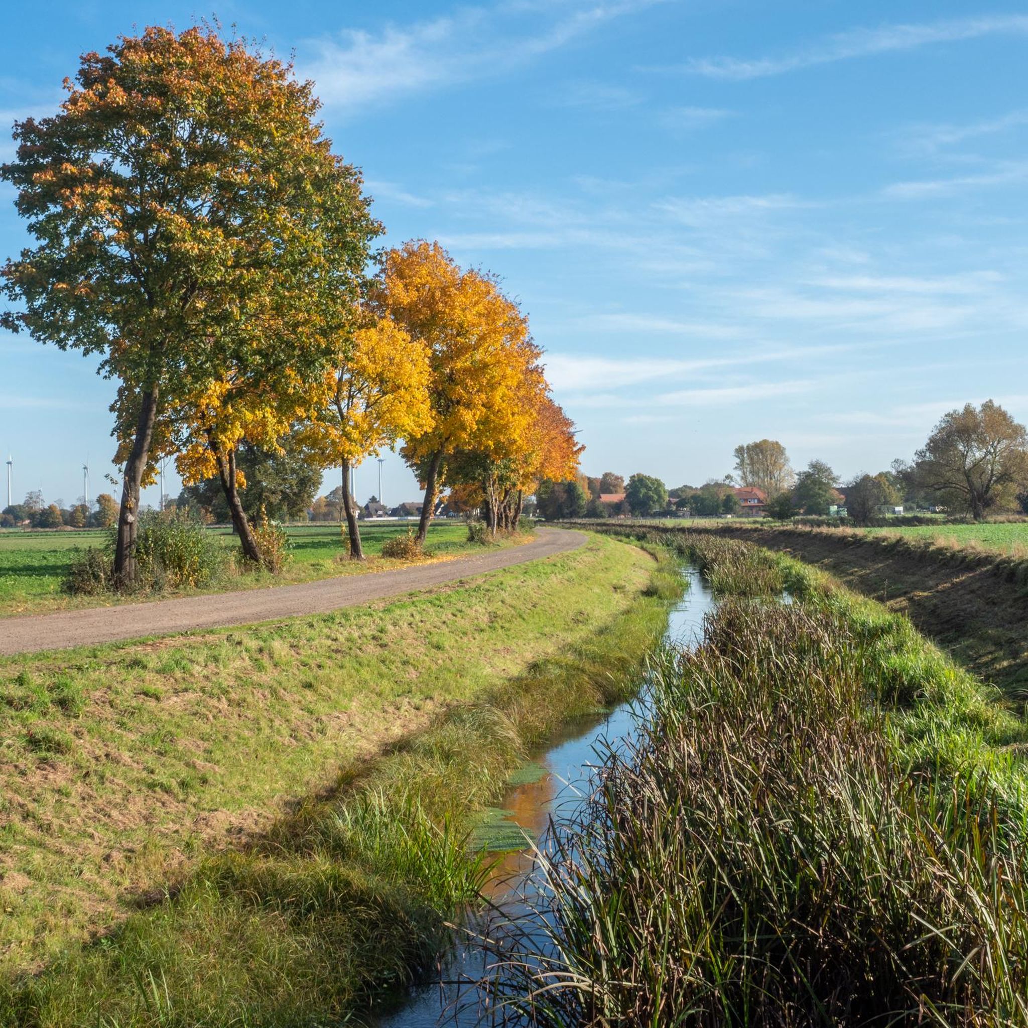
Gravel biking around Martfeld offers a serene setting within Lower Saxony, characterized by charming forests and expansive green fields. The region features flat to gently rolling terrain, providing accessible routes for gravel cyclists. Natural features like the Allerniederung and proximity to the Weser River contribute to varied and scenic rides. Path surfaces often accommodate different bike types, including unpaved sections suitable for gravel biking.
Best gravel bike trails around Martfeld
- The most popular gravel bike trail is Dorfladen Otersen – Lehrde Bridge loop from Verden (Aller), a 29.8 miles (47.9 km) trail that takes 3 hours 10 minutes to complete. This route offers views of the Allerniederung bird sanctuary.
- Another top favourite among local gravel bikers is Singletrack Wolfsgrund – Wolfsgrund Viewing Platform loop from Verden (Aller), a moderate 21.6 miles (34.7 km) path. This trail winds through forested areas with gentle elevation changes.
- Local gravel bikers also love the Geh-Arche Hof Freidorf – Forest Lake loop from Bruchhausen-Vilsen, a 24.2 miles (39.2 km) trail leading through green fields and near a forest lake, often completed in about 2 hours 56 minutes.
- Gravel biking around Martfeld is defined by charming forests, expansive green fields, and flat to gently rolling terrain. The network offers options for both easy and moderate ability levels.
- The routes in Martfeld are highly rated by the komoot community with an average score of 3.5 stars from over 5 reviews. More than 20 gravel bikers have used komoot to explore Martfeld's varied terrain.
Last updated: July 2, 2026
4.5
(2)
6
riders
Moderate gravel ride. Good fitness required. Mostly paved surfaces. Suitable for all skill levels.
3.0
(3)
7
riders
38.9km
02:26
170m
170m
Moderate gravel ride. Good fitness required. Mostly paved surfaces. Suitable for all skill levels.

Sign up for free
3
riders
Moderate gravel ride. Good fitness required. Mostly paved surfaces. Suitable for all skill levels.
3.0
(1)
4
riders
44.4km
02:34
150m
150m
Moderate gravel ride. Good fitness required. Mostly paved surfaces. Suitable for all skill levels.
3.0
(1)
4
riders
87.1km
04:44
270m
270m
Moderate gravel ride. Good fitness required. Mostly paved surfaces. Suitable for all skill levels.
Our route recommendations are based on thousands of hikes, rides, and runs completed by other people on komoot.
Start today with a free account
Your next adventure awaits.
Login or Signup
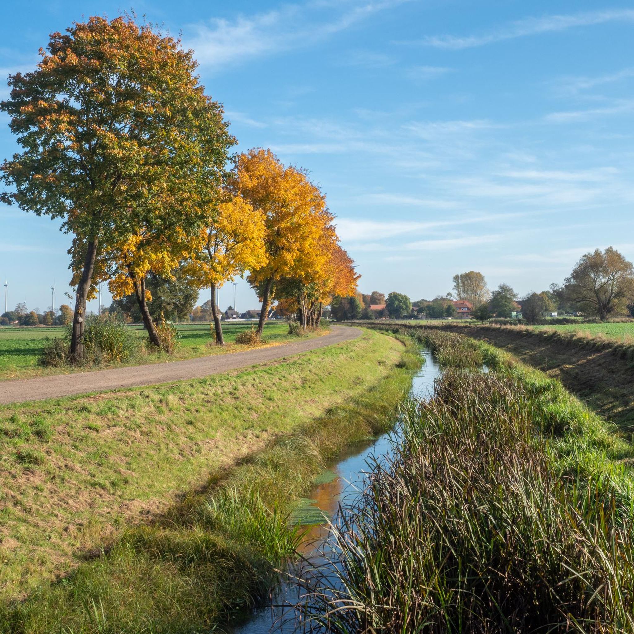
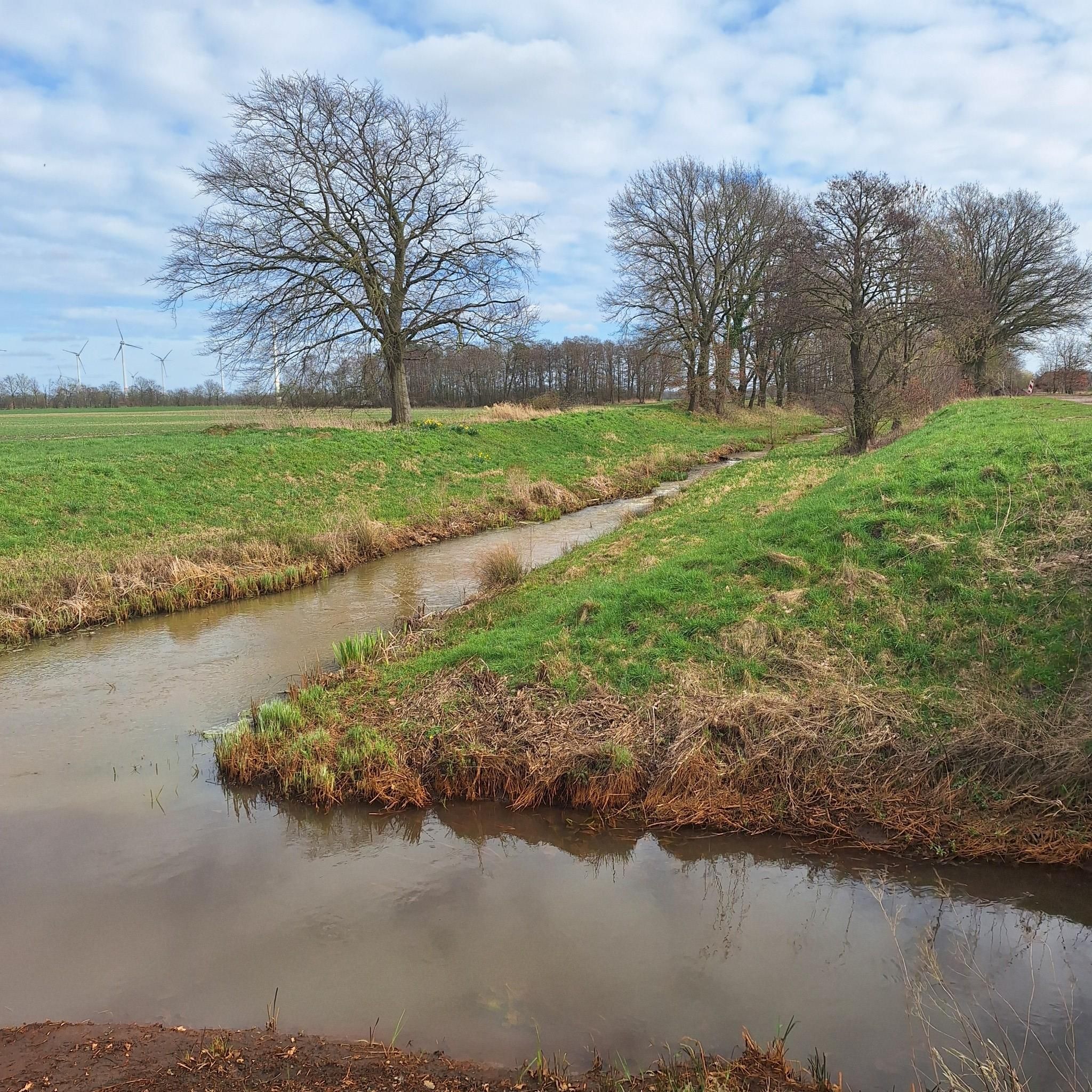
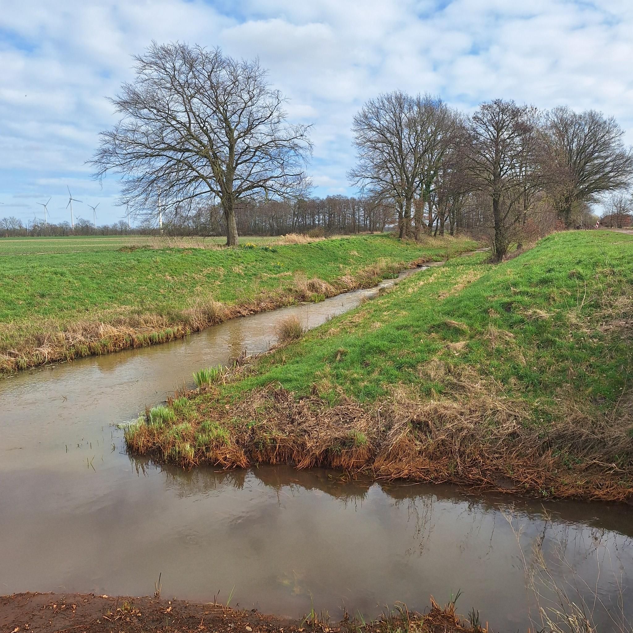
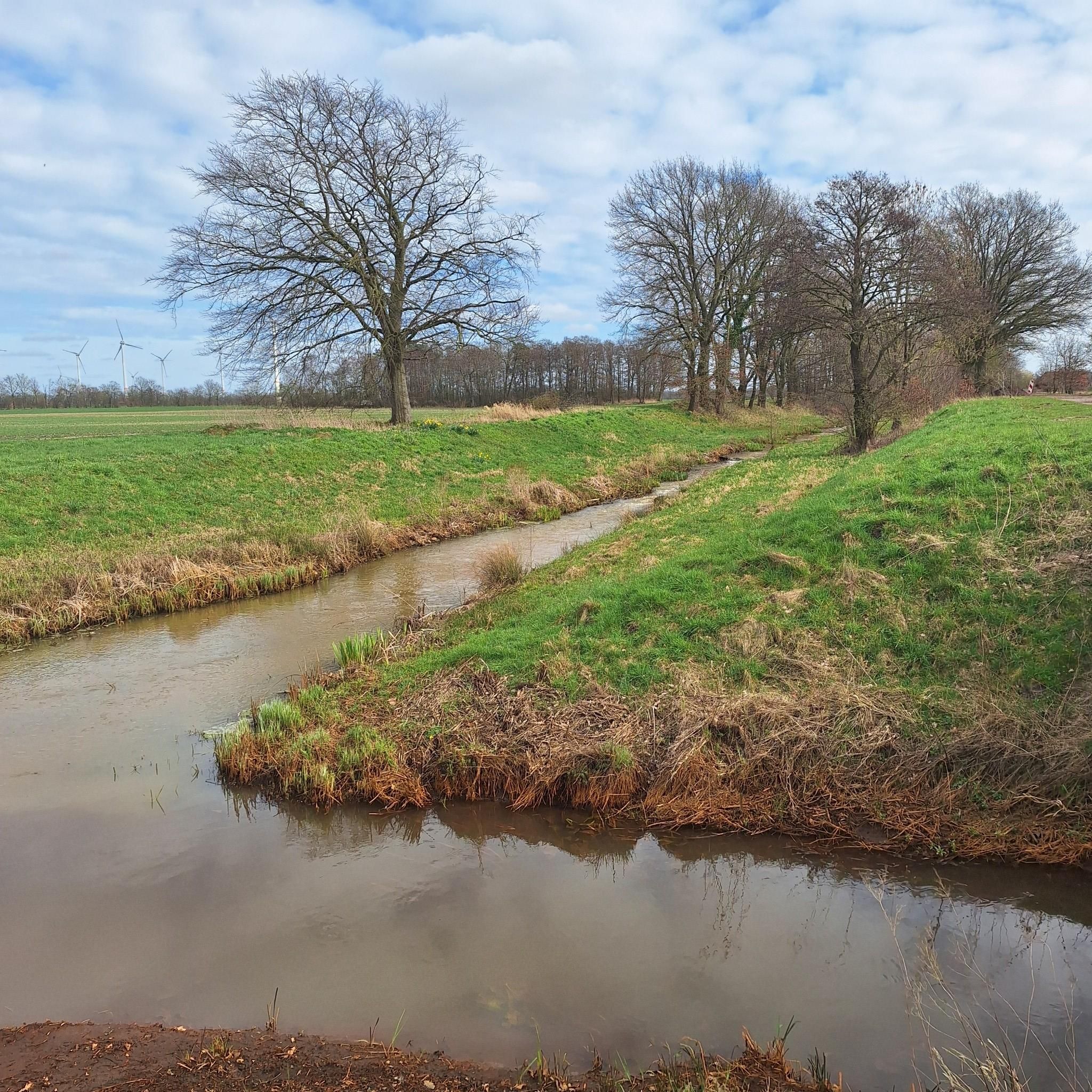
Tips from the Community

Former railway line between Rotenburg and Walsrode. Not completely finished User writes "tree alley" 😂😂 Is there also a shrub or grass alley?
0
0

The Hache is a smaller river in Lower Saxony, Germany. Here are the key facts about the Hache: Course: It flows through the district of Diepholz and crosses, among others, the town of Syke. In the Kirchweyher See, it joins the Süstedter Bach and flows from there as the Ochtum further towards Bremen. Ecology: The Hache is considered ecologically passable, which has been confirmed by investigations by the district government of Hanover. Renaturation: There are measures for river renaturation to improve the stream course. Fish population: Brook and river lampreys occur in the Hache, as do sea trout, eels, salmon, and burbot. Nature conservation: Parts of the course are protected by the FFH area "Untere Delme, Hache, Ochtum und Varreler Bäke". Association: The maintenance association Hache und Hombach is responsible for the stream.
2
0

Unfortunately, no pictures of the old Bretel train station. Great and informative place. Information about the old railway lines is available on boards and in a shelter. Great place for a break.
1
0


Beautiful St. Jakobi Church in Wittlohe.
0
0
Beautiful St. Jakobi Church in Wittlohe.
0
0
Beautiful brick church in Wittlohe.
0
0
Beautiful view of the landscape.
0
0
Frequently Asked Questions
What kind of terrain can I expect on gravel bike trails around Martfeld?
Martfeld offers a mix of charming forests and expansive green fields. The terrain is generally flat to gently rolling, characteristic of Lower Saxony, making it accessible for most gravel cyclists. You'll find wide paths, especially along areas like the Allerniederung, which are suitable for gravel bikes.
Are there any family-friendly gravel bike routes in Martfeld?
Yes, the flat to gently rolling terrain around Martfeld is well-suited for family rides. Routes like the Lindhoop Monument – Hügelgräber Heath Kirchlinteln loop from Verden (Aller) are rated as easy and provide a pleasant experience through varied landscapes, perfect for families looking for a relaxed outing.
Can I bring my dog on the gravel bike trails in Martfeld?
Many of the natural paths and forest trails around Martfeld are suitable for cycling with dogs, provided they are well-behaved and kept on a leash where required, especially in nature protection areas. Always be mindful of local regulations and other trail users.
What are some scenic points or natural features I can see along the gravel routes?
You can enjoy picturesque views of the Allerniederung bird sanctuary, as seen on the Dorfladen Otersen – Lehrde Bridge loop from Verden (Aller). Other routes, like the Heritage Railway near Groß – Forest Lake loop from Bruchhausen-Vilsen, lead through green fields and past forest lakes. The broader region also features paths along the Weser River, offering scenic riverside views.
Are there any historical sites or landmarks near the gravel bike trails?
Martfeld and its surroundings are rich in history. While cycling, you might pass by historical buildings like Martfeld Castle or the 13th-century Church of St. Laurentius. For specific historical highlights, consider visiting Erbhof Castle in Thedinghausen or the Scharfrichterhaus and Gothic Defensive Tower in Verden, which are part of the region's heritage.
What do other gravel bikers say about the trails in Martfeld?
The gravel biking routes around Martfeld are highly regarded by the komoot community, with an average score of 3.9 stars from over 15 reviews. Many users appreciate the serene setting, the charming forests, and the expansive green fields that define the riding experience.
Are there any circular gravel bike routes available?
Yes, many of the gravel routes around Martfeld are designed as loops, allowing you to start and end at the same point. Examples include the Singletrack Wolfsgrund – Wolfsgrund Viewing Platform loop from Verden (Aller), which winds through forested areas, and the Weser bridge in Hoya – View of Hoya Castle loop from Bruchhausen-Vilsen.
What is the best time of year to go gravel biking in Martfeld?
The flat to gently rolling terrain of Martfeld makes it enjoyable for gravel biking across multiple seasons. Spring and autumn offer pleasant temperatures and vibrant natural colors, while summer provides longer daylight hours. Even in winter, many paths remain accessible, though conditions may vary.
Are there places to park my car when accessing the gravel bike trails?
While specific trailhead parking isn't detailed in the provided data, Martfeld and nearby towns like Verden (Aller) and Bruchhausen-Vilsen, which serve as starting points for many routes, typically offer public parking options suitable for accessing the trails. Look for designated parking areas within these communities.
Can I reach the gravel bike trails using public transport with my bike?
The broader region of Lower Saxony generally supports cycling, and public transport options like regional trains often accommodate bicycles, though specific rules and peak hour restrictions may apply. It's advisable to check with local transport providers for their bike carriage policies when planning your trip to Martfeld or nearby starting points.
Are there any lakes or viewpoints to visit along the routes?
Yes, the region features several natural attractions. You can find lakes such as Alveser Lake and a Forest Lake, which are great spots for a break. For panoramic views, the Wiedesee Observation Tower offers a chance to take in the surrounding landscape.
What is the typical difficulty level of gravel bike routes in Martfeld?
The gravel biking routes around Martfeld primarily range from easy to moderate difficulty. The flat to gently rolling terrain means there are no significant climbs, making the trails accessible for a wide range of cyclists, from beginners to those seeking a relaxed ride.
Most popular attractions around Martfeld

Get inspired with the komoot mobile app


Explore more
Browse the best Gravel rides in other regions.
