The best gravel rides around Utzenhain
4.5
(9)
72
riders
10
rides
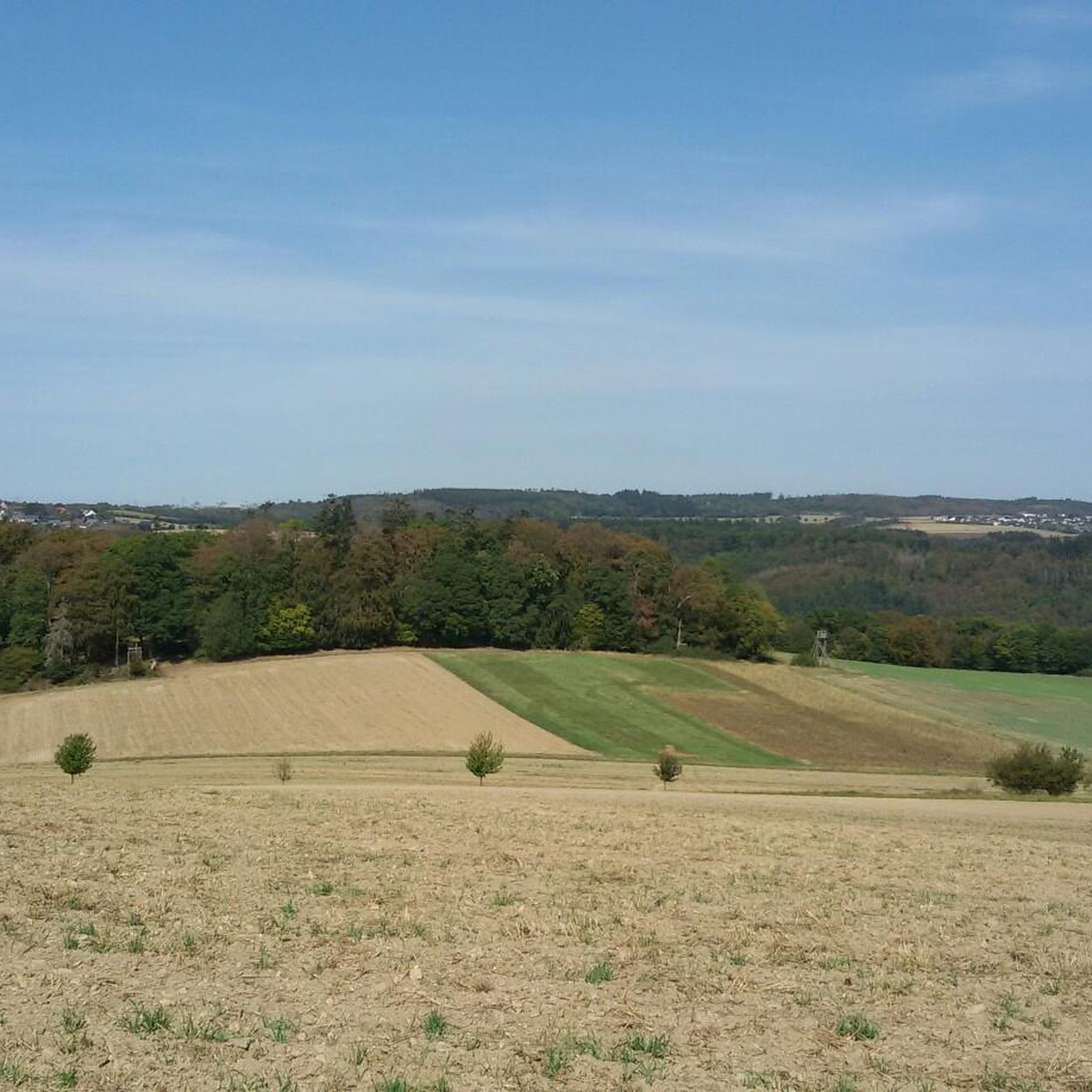
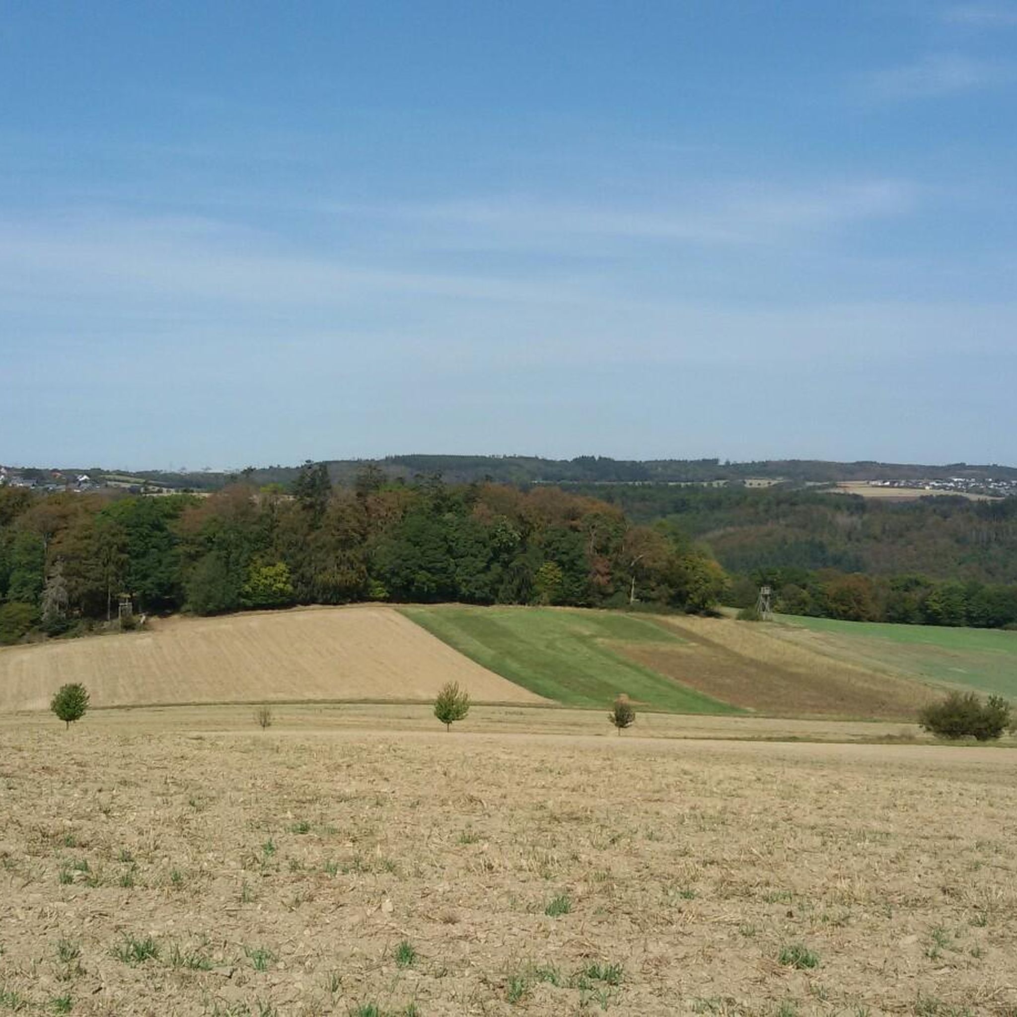
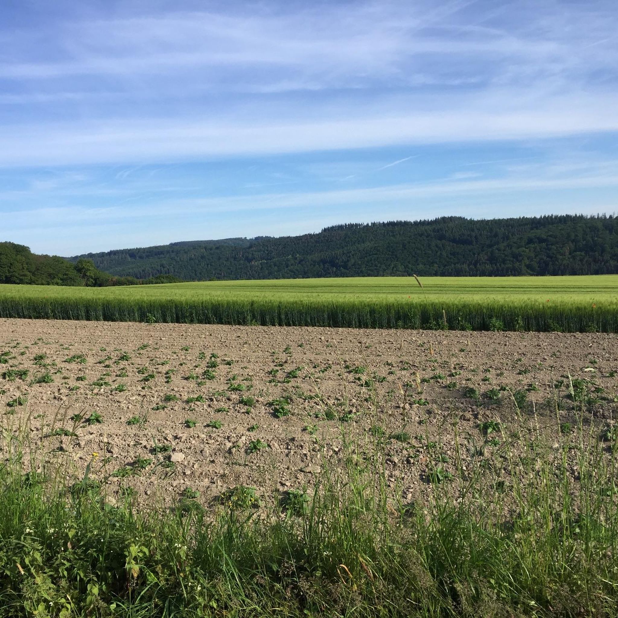
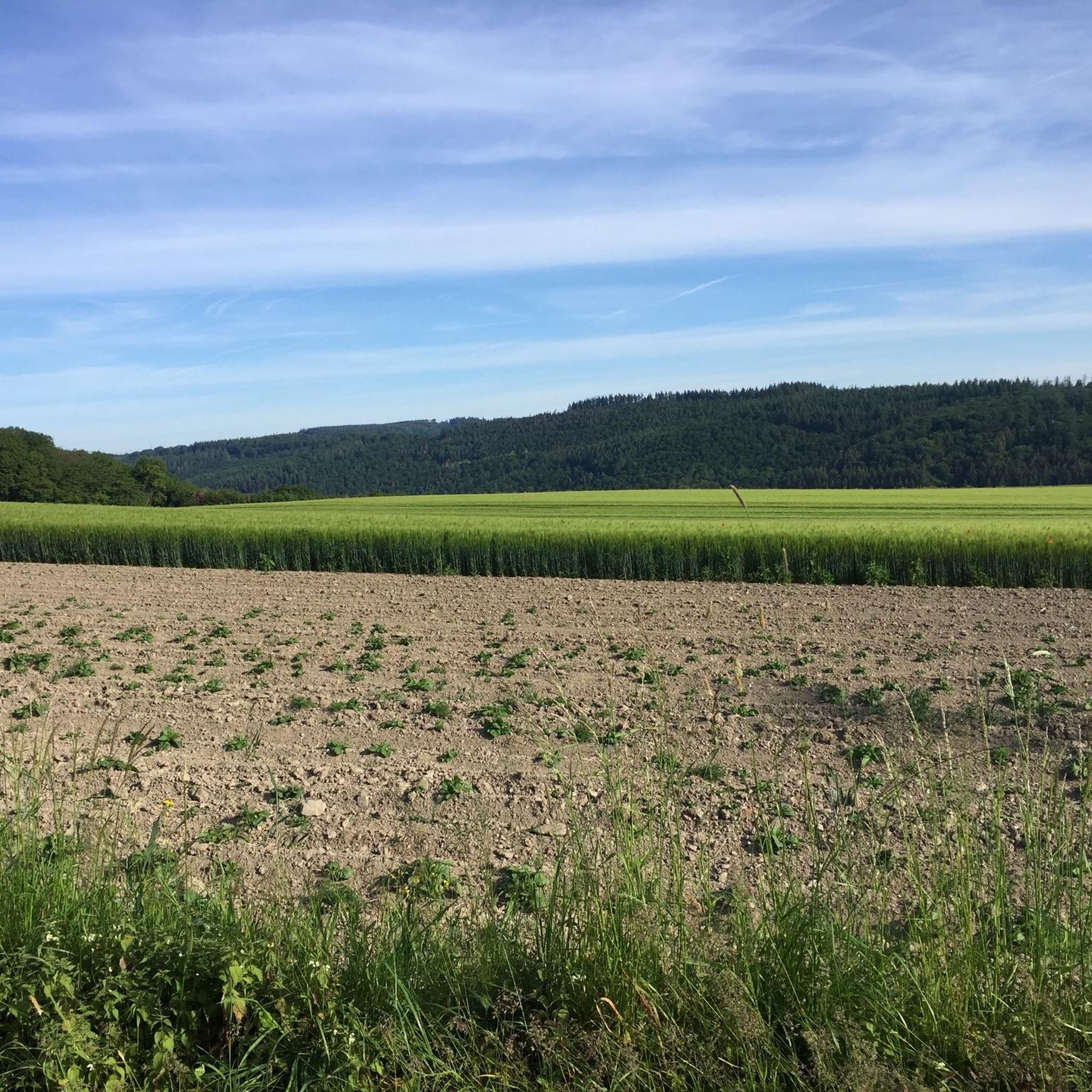
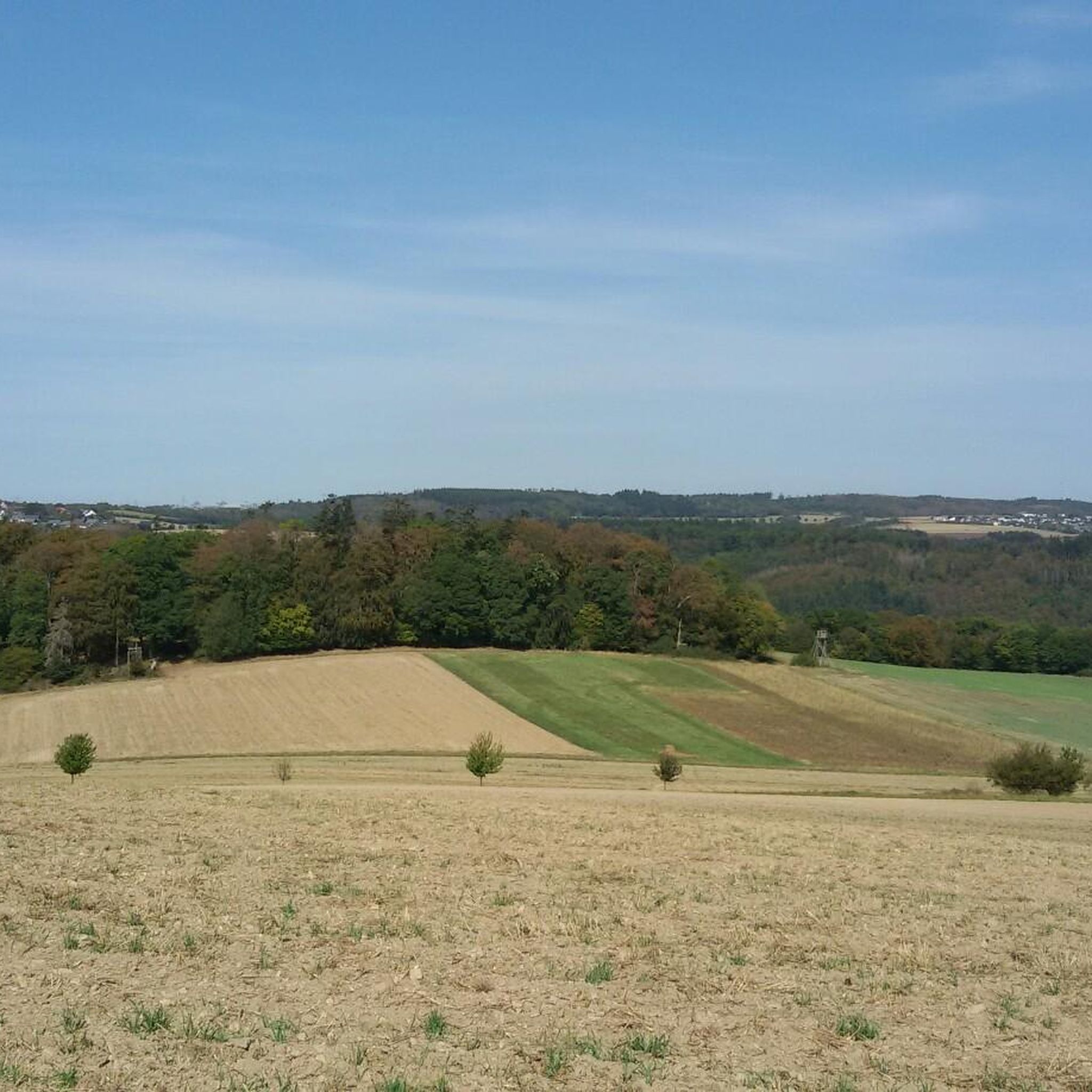
Gravel biking around Utzenhain offers routes through the diverse landscapes of the eastern Hunsrück mountains. The region is characterized by rolling hills, extensive forest sections, and quiet stream valleys, providing a varied terrain for gravel cyclists. Situated between the Rhine Gorge and the Autobahn A 61, the area features a mix of paved roads, forest paths, and country roads suitable for gravel bikes. Elevations vary, providing options for both moderate and advanced gravel cycling.
Best gravel bike trails around Utzenhain
- The most popular gravel bike trail is Large Donkey Farm Bornich – Arnstein Monastery loop from St. Goarshausen, an 83.1 miles (133.7 km) trail that takes 9 hours 45 minutes to complete. This long-distance gravel route features significant elevation gain through varied landscapes.
- Another top favourite among local gravel bikers is View of Burg Maus – View Over the Countryside loop from Prath, a difficult 19.8 miles (31.9 km) path. This route offers views of Burg Maus and the surrounding countryside.
- Local gravel bikers also love the View of Marksburg Castle – View of Marksburg Castle loop from Boppard-Bad Salzig, a 34.4 miles (55.4 km) trail leading through varied terrain with views of Marksburg Castle, often completed in about 3 hours 43 minutes.
- Gravel biking around Utzenhain is defined by rolling hills, dense woodlands, and scenic river valleys. The network offers options for different ability levels, including advanced gravel cycling routes.
- The routes in Utzenhain are highly rated by the komoot community with an average score of 4.6 stars from over 20 reviews. More than 30 gravel bikers have used komoot to explore Utzenhain's varied terrain.
Last updated: July 2, 2026
14
riders
133km
09:43
2,320m
2,320m
Hard gravel ride. Very good fitness required. You may need to push your bike for some segments of this route.
4.6
(5)
12
riders
31.9km
02:04
530m
530m
Hard gravel ride. Very good fitness required. Mostly paved surfaces. Suitable for all skill levels.

Sign up for free
4.0
(1)
9
riders
Hard gravel ride. Very good fitness required. Mostly paved surfaces. Suitable for all skill levels.
3
riders
18.0km
01:14
380m
380m
Moderate gravel ride. Good fitness required. Mostly paved surfaces. Suitable for all skill levels.
3
riders
36.6km
02:22
440m
440m
Moderate gravel ride. Good fitness required. Mostly paved surfaces. Suitable for all skill levels.
Get access to more routes and recommendations from other explorers.
Sign up for free
Already have an account?
Our route recommendations are based on thousands of hikes, rides, and runs completed by other people on komoot.
Start today with a free account
Your next adventure awaits.
Login or Signup
Tips from the Community

Super view of the castle from the Rhine
0
0

Very good opportunity to cool down with a refreshing drink on hot days or to eat something delicious
0
0

A beautiful sight from every side and angle☝️😉
0
0

Great excursion restaurant, and a stop during hiking
0
0

Really a nice little stretch of path. Recommended!
0
0

It's always a pleasure to drive.
0
0

A nice destination to drive to.
0
0

The highest elevation in the western Taunus Mountains. The old postal road to Wiesbaden passes through here.
1
0
Frequently Asked Questions
How many gravel bike trails are available around Utzenhain?
There are over 20 gravel bike trails around Utzenhain, offering a variety of experiences through the Hunsrück region's rolling hills and forested landscapes. These routes cater to different skill levels, from moderate to difficult.
What do other gravel bikers say about the trails in Utzenhain?
The gravel biking routes in Utzenhain are highly regarded by the komoot community, holding an average rating of 4.5 stars from more than 20 reviews. Users frequently highlight the diverse terrain, scenic views, and the challenging yet rewarding nature of the trails.
Are there any easy gravel bike trails suitable for beginners in Utzenhain?
While many routes around Utzenhain are rated moderate to difficult, there are options that can be enjoyed by beginners with some cycling experience. For instance, the Pfalzfeld Water Tower – Pfalzfeld station loop from Ehr is a moderate 28.3-mile (45.5 km) path that explores rural surroundings with a mix of open views and forested sections, making it a good choice for those looking for a less strenuous ride.
What are some options for advanced gravel cycling around Utzenhain?
Utzenhain offers several challenging routes for experienced gravel bikers. The Large Donkey Farm Bornich – Our Thick Oak (Endlichhofen) loop from St. Goarshausen is a demanding 82.7-mile (133.1 km) trail with significant elevation gain, providing a true test of endurance and skill. Another option is the View of Marksburg Castle – View of Marksburg Castle loop from Boppard-Bad Salzig, a 55.4-mile (89.2 km) difficult route with substantial climbs and descents.
Can I find long-distance gravel routes near Utzenhain?
Yes, Utzenhain is an excellent starting point for long-distance gravel adventures. The Large Donkey Farm Bornich – Our Thick Oak (Endlichhofen) loop from St. Goarshausen is a prime example, stretching over 82.7 miles (133.1 km) and featuring extensive elevation changes through varied landscapes. Another substantial option is the Pfalzfeld station – The Schinderhannes Cycle Path loop from Ehr, which covers 55.5 miles (89.4 km) along a historic path.
Are there circular gravel bike routes available in Utzenhain?
Many of the gravel bike routes around Utzenhain are designed as circular loops, allowing you to start and end at the same point. Examples include the View of Burg Maus – View Over the Countryside loop from Prath, a 31.9-mile (51.4 km) challenging loop, and the Pfalzfeld Water Tower – Pfalzfeld station loop from Ehr, a moderate 28.3-mile (45.5 km) option.
What interesting sights or landmarks can I explore along the gravel bike trails?
The region around Utzenhain offers several points of interest. While cycling, you might encounter various natural highlights such as the Pond and bridge in Marienberger Park or the Gondershausen Forest Lake. For those interested in more technical riding, there are also highlights like the Pfählsberg Singletrail or the Flowtrail Bornsmühle nearby.
What is the best season for gravel biking in Utzenhain?
The Hunsrück region, including Utzenhain, is generally best for gravel biking from spring through autumn (April to October). During these months, the weather is typically mild, and the trails are dry and well-maintained. Spring offers lush greenery, while autumn provides stunning fall foliage.
Are the gravel trails around Utzenhain suitable for families?
For families, it's advisable to choose shorter, less challenging routes with minimal elevation gain. While many trails in Utzenhain are rated moderate to difficult, some sections of the moderate routes, particularly those on wider, well-maintained paths, could be suitable. Always check the route details for elevation and surface type to ensure it matches your family's abilities.
Can I bring my dog on the gravel trails near Utzenhain?
Generally, dogs are welcome on public trails in the Hunsrück region, provided they are kept on a leash and you clean up after them. However, specific rules can vary in nature reserves or private land. It's always best to check local regulations for the specific trail you plan to ride to ensure a dog-friendly experience.
Are there any gravel bike trails with cafe stops or places to refuel in Utzenhain?
Many gravel routes in the Utzenhain area pass through or near small villages and towns where you can find local bakeries, cafes, or restaurants to refuel. Planning your route to include stops in places like Pfalzfeld or Ehr can ensure you have opportunities for refreshments and breaks.
Is there public transport access to the gravel bike trails around Utzenhain?
Public transport access in the rural Hunsrück region can be limited, but some routes may be accessible via regional bus services or train stations in larger nearby towns. It's recommended to check local bus schedules and train connections to determine the best way to reach your desired starting point without a car.
Most popular attractions around Utzenhain

Get inspired with the komoot mobile app


Explore more
Browse the best Gravel rides in other regions.
