The best gravel rides around Bleialf
4.3
(3)
43
riders
16
rides
Gravel biking around Bleialf offers diverse landscapes within Germany's Eifel region, characterized by deep forests, secluded stream valleys, and varied terrain. The area features historical mining areas and former railway lines, providing a blend of natural beauty and industrial heritage. Routes include both relatively easy, mostly paved sections and more challenging paths with significant elevation gains and harder gravel surfaces. This region provides a varied experience for gravel bikers, from scenic paths along former railway lines to routes through natural…
Last updated: July 2, 2026
5.0
(1)
50
riders
84.9km
06:42
1,610m
1,610m
Hard gravel ride. Very good fitness required. Mostly paved surfaces. Suitable for all skill levels.
7
riders
40.1km
02:44
530m
530m
Hard gravel ride. Very good fitness required. Mostly paved surfaces. Suitable for all skill levels.

Sign up for free
5.0
(1)
5
riders
30.5km
02:23
520m
520m
Hard gravel ride. Very good fitness required. You may need to push your bike for some segments of this route.
5
riders
90.7km
06:09
1,450m
1,450m
Hard gravel ride. Very good fitness required. Mostly paved surfaces. Suitable for all skill levels.
3
riders
93.0km
07:22
1,510m
1,510m
Hard gravel ride. Very good fitness required. Mostly paved surfaces. Suitable for all skill levels.
Get access to more routes and recommendations from other explorers.
Sign up for free
Already have an account?
Our route recommendations are based on thousands of hikes, rides, and runs completed by other people on komoot.
Start today with a free account
Your next adventure awaits.
Login or Signup
Popular around Bleialf
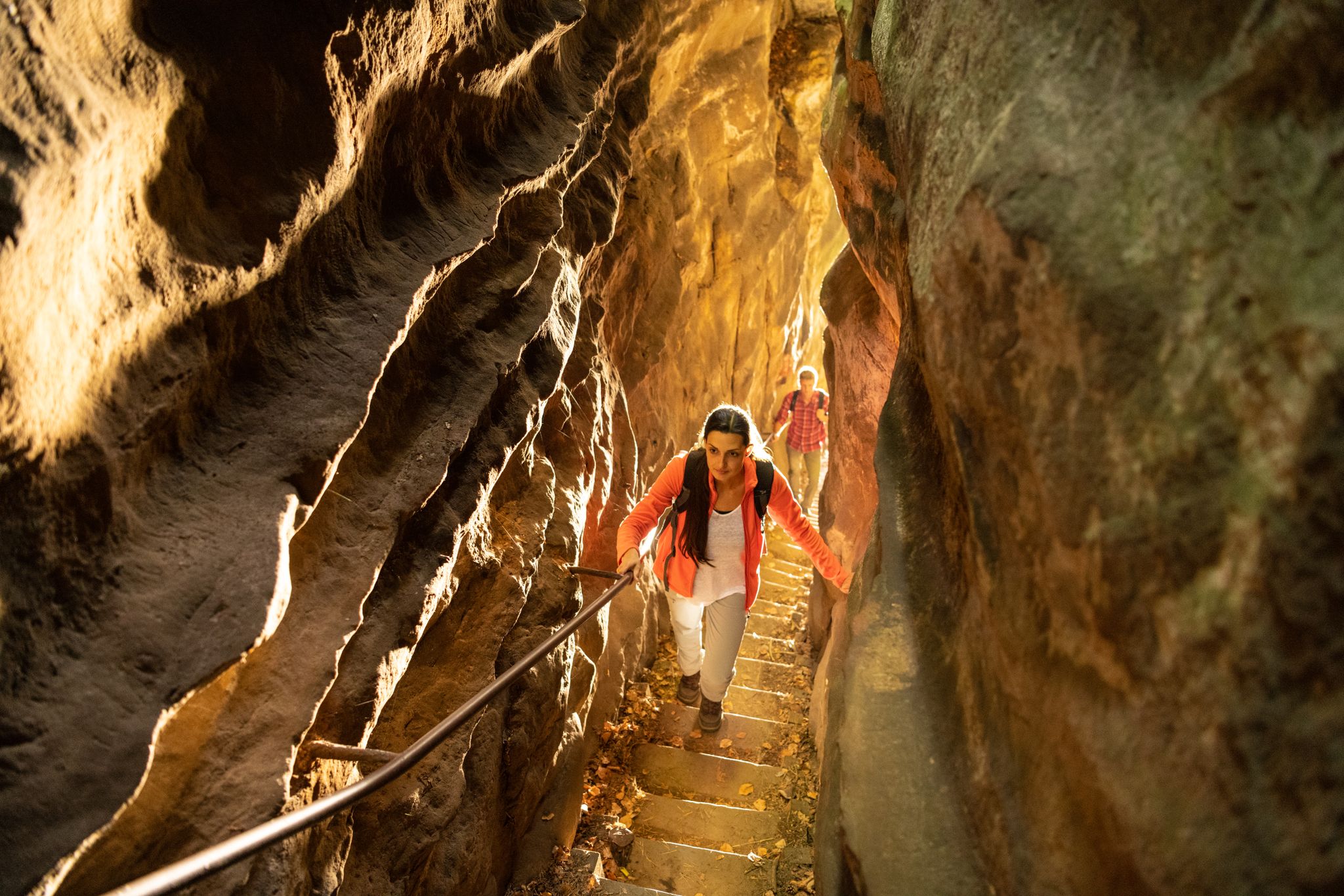
Lakes, castles and rocks – hiking in the NaturWanderPark delux
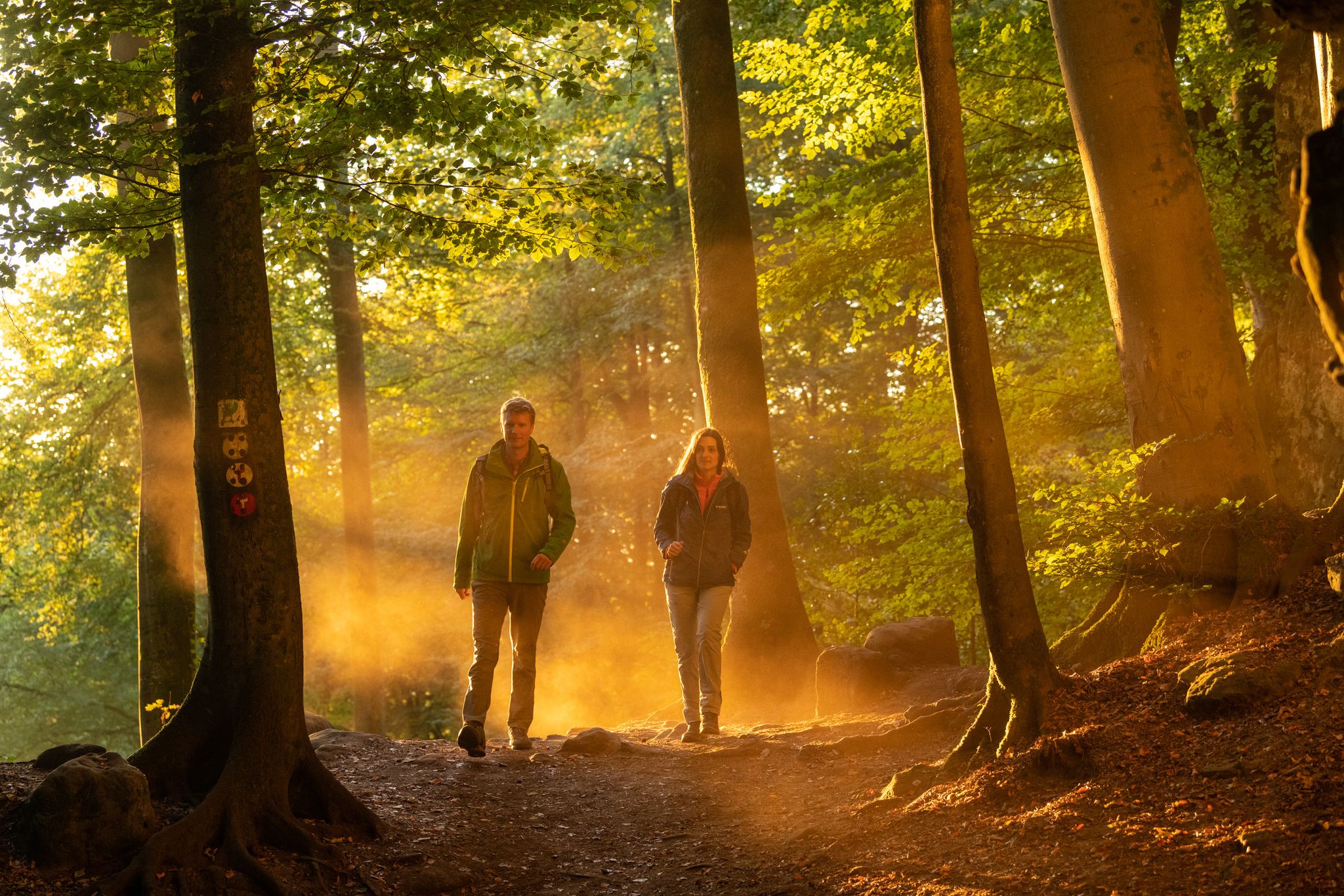
Mysterious forests and gorges — South Eifel and Luxembourg
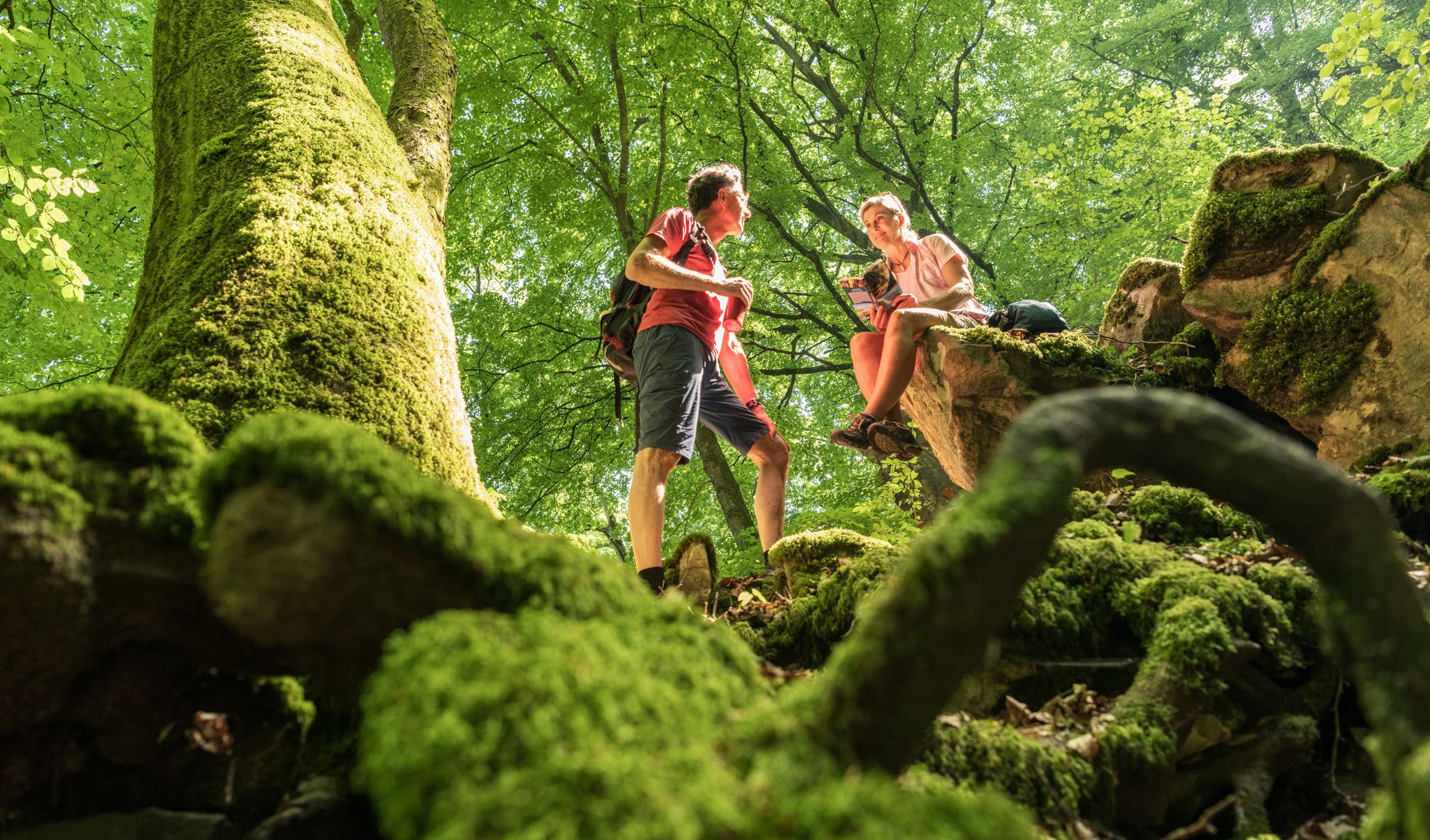
Ancient forests in the DeLux Nature Park
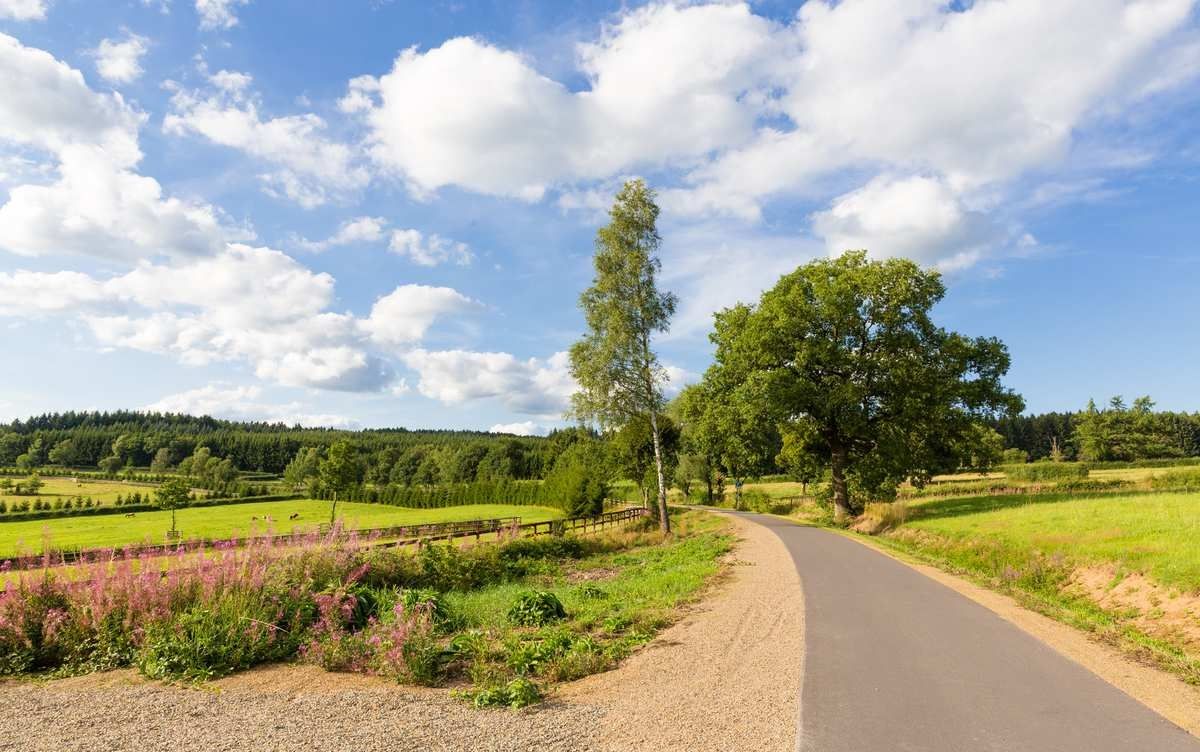
Rivers, fortresses and fantastic cycle paths – the Venn-Eifel-Moselle-Runde
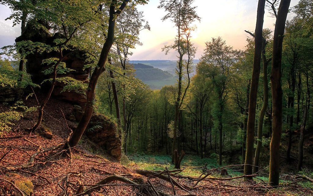
Mystical gorges and deep forests — hiking in Southern Eifel and in Luxembourg
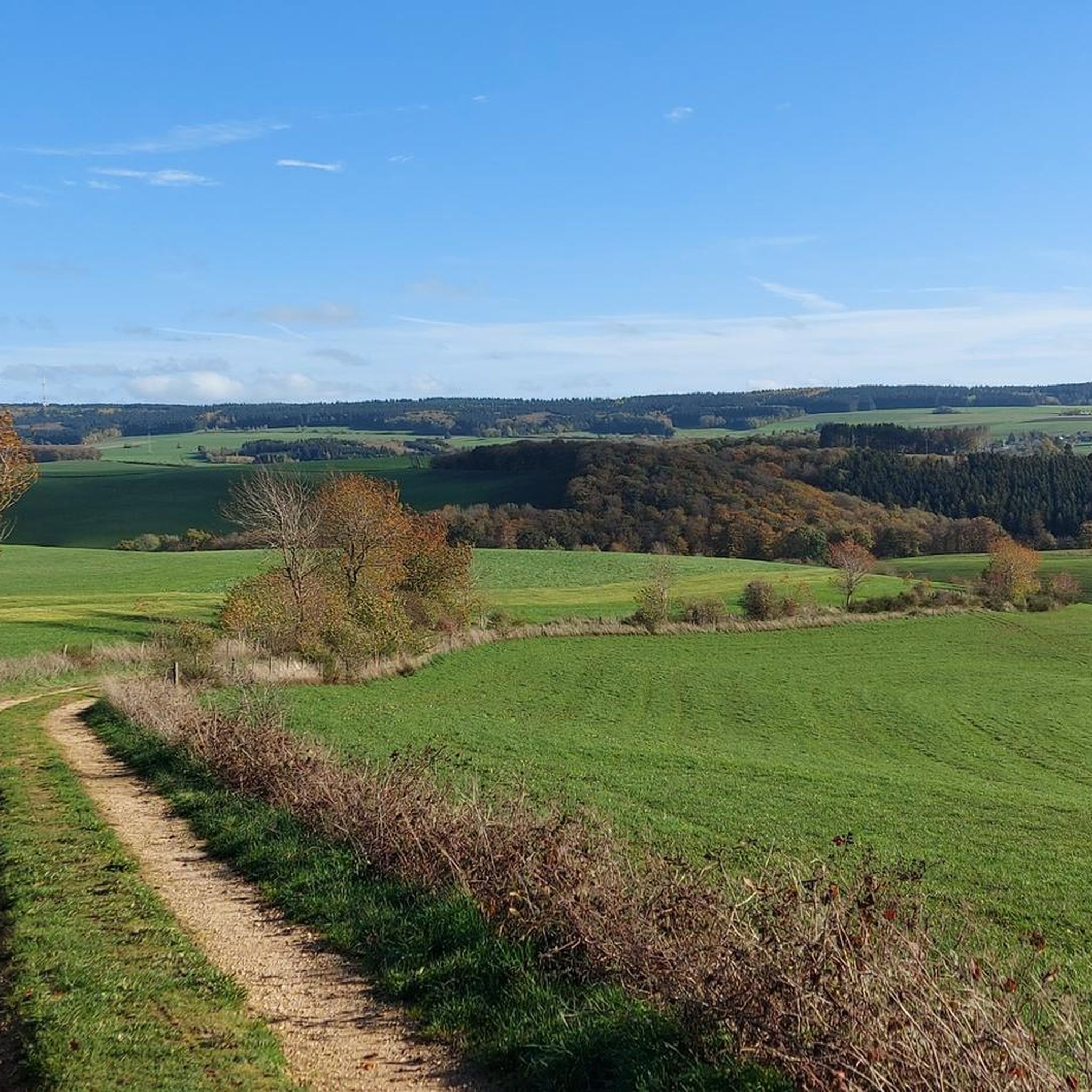
Hiking around Bleialf
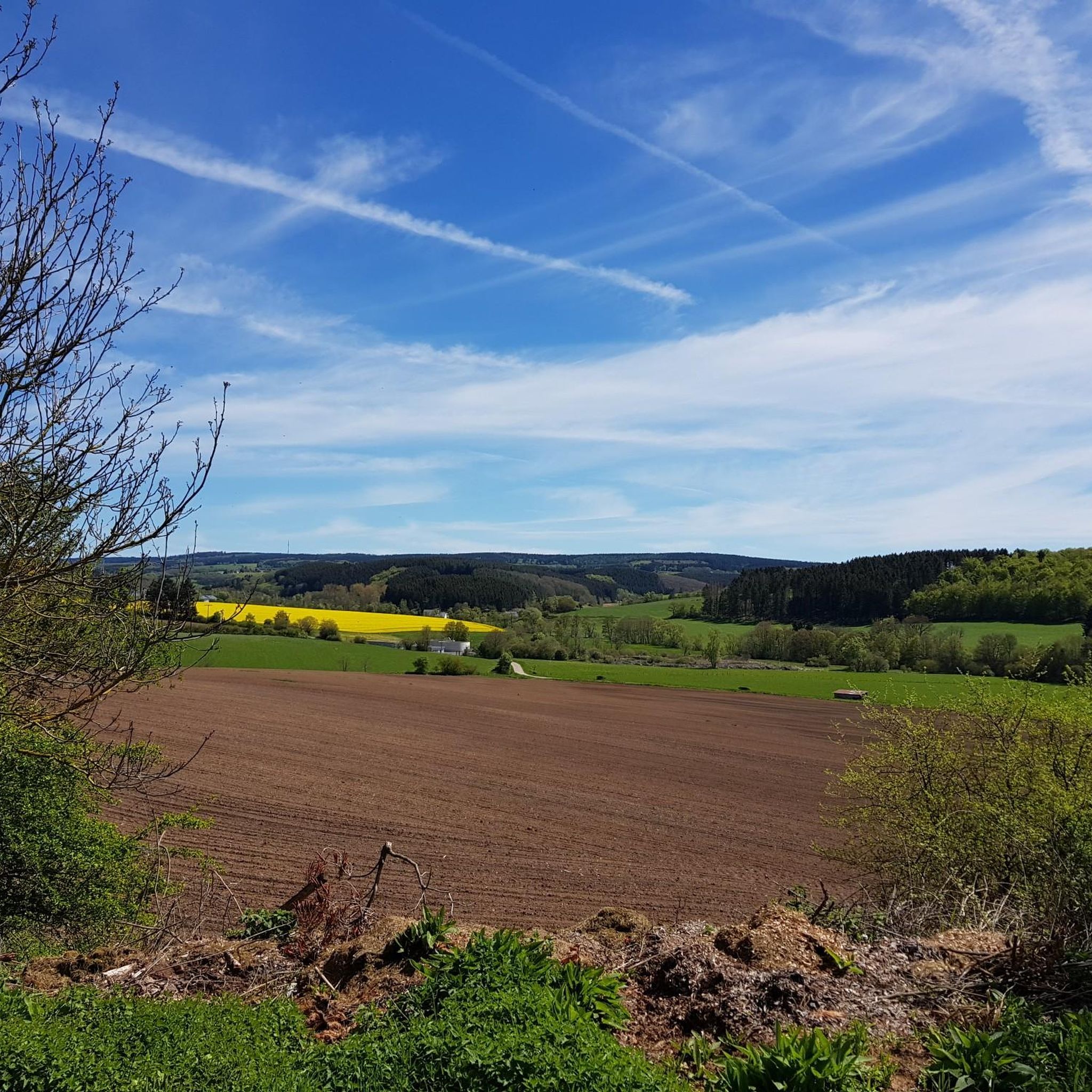
Cycling around Bleialf
Road Cycling Routes around Bleialf
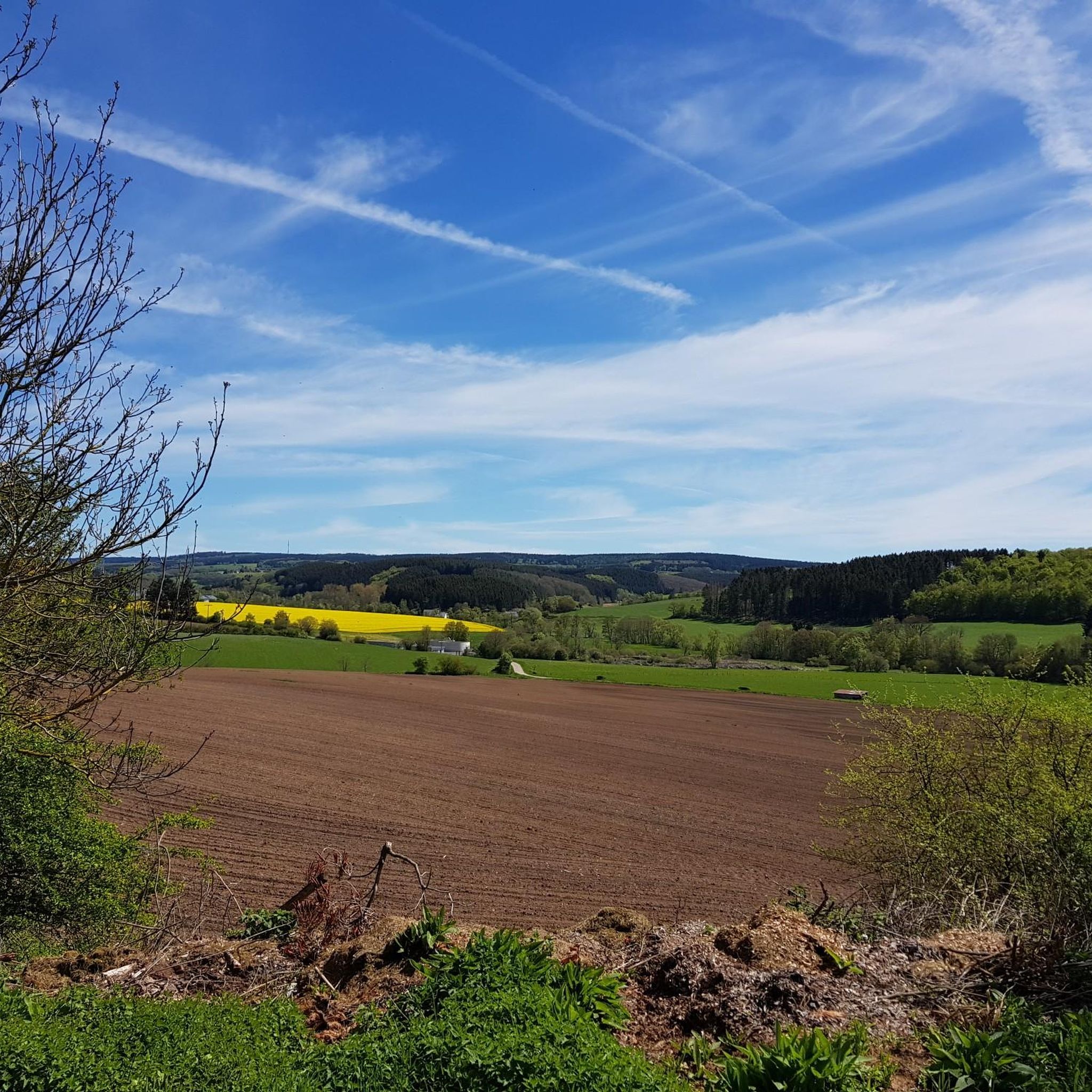
MTB Trails around Bleialf
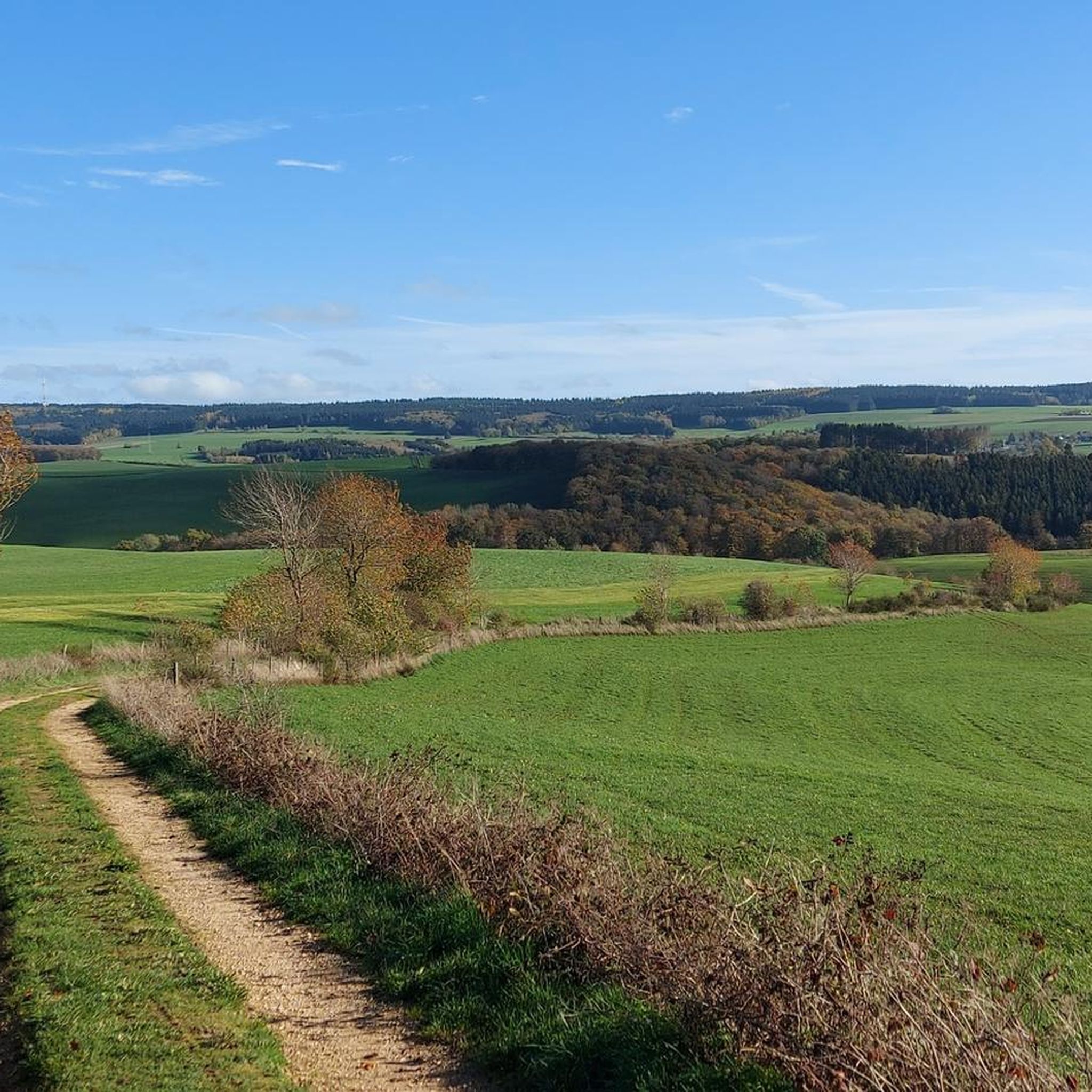
Running Trails around Bleialf
Other adventures around Bleialf


Tips from the Community

The Dreiborn Plateau impresses as a vast open landscape with an area of around 32 km². In the summer months, the flower-rich meadows offer food for plenty of insects, especially butterflies, which tumble over the blossoms. In May, the blooming broom gilds the landscape. From here you have fantastic panoramic views over the Rureifel. A newly installed XXL bench invites you to sit here, relax and let the good Lord be a good man. A wonderful place to take a breath and linger.
0
0
The Dreiborn Plateau impresses as a vast open landscape with an area of around 32 km². In the summer months, the flower-rich meadows offer food for lots of insects, especially butterflies, which tumble over the flowers. In May, the blooming broom gilds the landscape. From here you have fantastic panoramic views over the Rureifel. A newly installed XXL bench invites you to sit here, relax and let the good Lord be a good man. A wonderful place to take a breath and linger.
0
0

From here we enjoy a wide view over the Dreiborn Plateau.
0
0
The Dreiborner Hochfläche is recommended as a year-round hiking area.
1
0

You can go up on the left or right (depending on the direction of travel) and onto the bridge. Worth it for a short break or lunch
0
0

Nice path through the forest.
0
0

Old turntable
0
0

Dam construction period: 1954–1959 Height above valley floor: 54.6 m Crest length: 282 m Crest width: 5.7 m
0
0
Frequently Asked Questions
How many gravel bike trails are available around Bleialf?
Bleialf offers a selection of over 20 gravel bike trails, ranging from moderate to difficult, allowing cyclists to explore the diverse landscapes of the Eifel region.
Are there gravel bike trails suitable for beginners or families in Bleialf?
While many routes around Bleialf are challenging, some sections of the Vennbahn, a disused railway line, offer relatively easy, mostly paved surfaces suitable for all skill levels. These flatter segments can be a good starting point for beginners or families.
What kind of terrain can I expect on gravel bike trails near Bleialf?
The terrain around Bleialf is varied, featuring deep forests, secluded stream valleys, and former railway lines. You'll encounter a mix of surfaces, from mostly paved sections to harder gravel, with some routes including significant elevation gains and requiring good fitness.
Are there any circular gravel bike routes in the Bleialf area?
Yes, many gravel bike routes around Bleialf are designed as loops. For example, you can explore the challenging Our Bridge between the countries – Forest Path Near Lommersweiler loop from Eigelscheid or the Zum Burghof loop from Schönberg, which takes you through varied Eifel landscapes.
What are some notable landmarks or attractions I can see along the gravel bike trails?
Many trails incorporate historical and natural highlights. You might pass through the Lommersweiler Tunnel on the Vennbahn or the Bleialf Tunnel (closed November-March). The Our Valley offers impressive scenery, and the Schwarzer Mann Summit provides expansive views.
What is the best time of year for gravel biking in Bleialf?
The Eifel region is beautiful throughout the warmer months. Spring and autumn offer pleasant temperatures and vibrant scenery. Be aware that the Bleialf Tunnel, a feature on some routes, is closed from November to March for bat wintering, requiring a bypass.
Are there any routes that follow historical railway lines?
Absolutely. The Vennbahn, a disused railway line, is a prominent feature in the region. Routes like the Our Bridge between the countries – Vennbahn Viaduct loop from Niedermehlen utilize segments of this historic path, offering a unique cycling experience.
What do other gravel bikers enjoy most about the trails in Bleialf?
The gravel bike trails around Bleialf are highly rated by the komoot community, with an average score of 4.8 stars. Reviewers often praise the diverse landscapes, the challenging yet rewarding routes, and the opportunity to explore both natural beauty and historical sites like the Vennbahn.
Are there any routes that offer views of castles or ruins?
Yes, some routes provide glimpses of historical structures. For instance, the View of Reuland Castle – Vennbahn Rail Trail loop from Schönberg offers views of Reuland Castle, adding a historical dimension to your ride.
What are the typical distances and durations for gravel bike trails in Bleialf?
Gravel bike trails in Bleialf vary significantly in length and duration. You can find shorter loops around 25 miles (40 km) that take a few hours, up to longer, more demanding routes exceeding 70 miles (110 km) which can take over 8 hours to complete.
Are there any specific challenges to be aware of on Bleialf's gravel trails?
Many routes are rated as difficult, featuring significant elevation gains and hard gravel surfaces that require good fitness. Some sections might even necessitate pushing your bike. Additionally, the Bleialf Tunnel is closed in winter, requiring an alternative route with an altitude difference.
Can I find places to eat or drink near the gravel bike trails in Bleialf?
Bleialf and its surrounding villages offer local cafes and restaurants where you can refuel after your ride. It's always a good idea to check opening times, especially in smaller communities, and plan your route accordingly.
Most popular attractions around Bleialf

Get inspired with the komoot mobile app


Explore more
Browse the best Gravel rides in other regions.
