The best gravel rides around Mückeln
4.3
(13)
50
riders
4
rides
Gravel biking around Mückeln is characterized by varied terrain, including former railway lines converted into cycle paths and routes traversing volcanic landscapes. The region features significant elevation changes, with routes often incorporating viaducts and offering views over the Eifel's distinctive Maare lakes. Dense woodlands and open agricultural areas define many sections of the gravel bike trails, providing a mix of shaded and exposed riding conditions. The trails primarily consist of unpaved surfaces suitable for gravel bikes.
Best gravel bike trails…
Last updated: July 3, 2026
11
riders
48.4km
03:18
780m
780m
Hard gravel ride. Very good fitness required. Mostly paved surfaces. Suitable for all skill levels.
4.3
(9)
17
riders
Hard gravel ride. Very good fitness required. You may need to push your bike for some segments of this route.

Sign up for free
5.0
(2)
4
riders
32.5km
02:09
460m
460m
Hard gravel ride. Very good fitness required. Mostly paved surfaces. Suitable for all skill levels.
8
riders
Hard gravel ride. Very good fitness required. Mostly paved surfaces. Suitable for all skill levels.
4.0
(2)
11
riders
Hard gravel ride. Very good fitness required. Mostly paved surfaces. Suitable for all skill levels.
Our route recommendations are based on thousands of hikes, rides, and runs completed by other people on komoot.
Start today with a free account
Your next adventure awaits.
Login or Signup
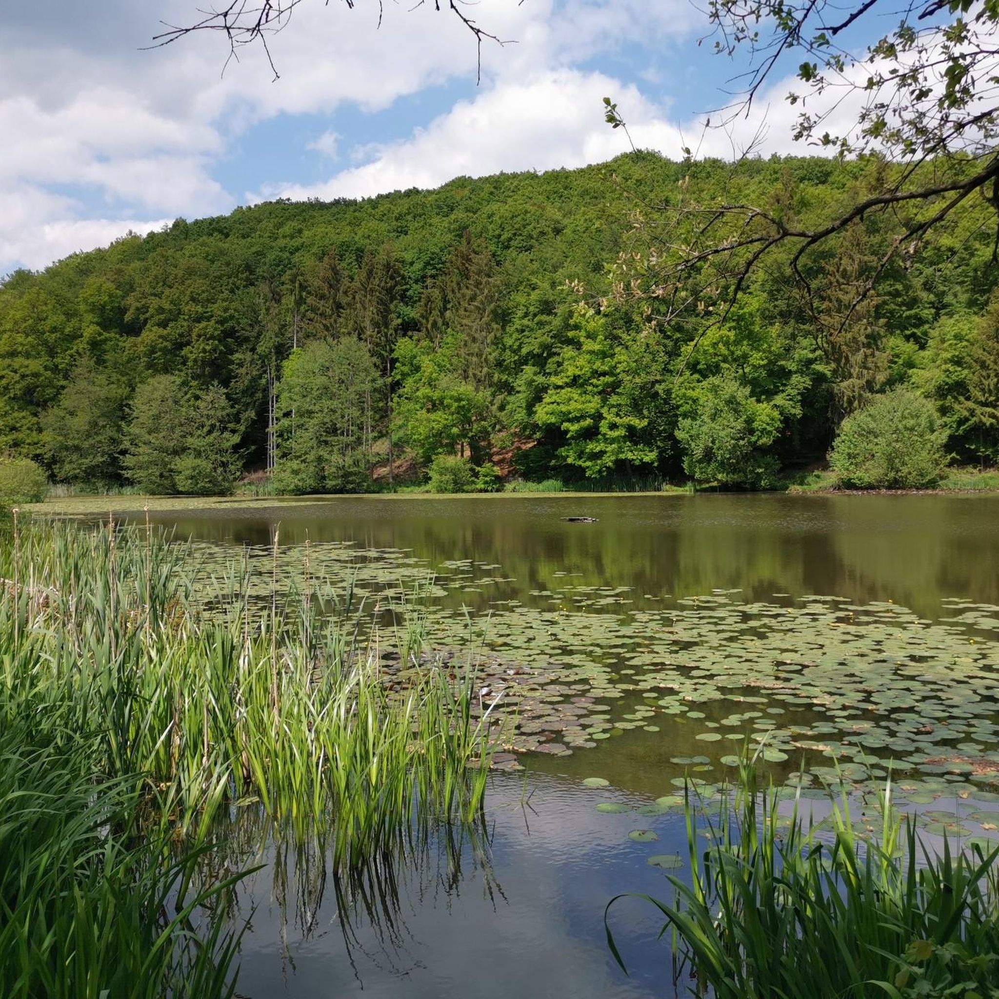
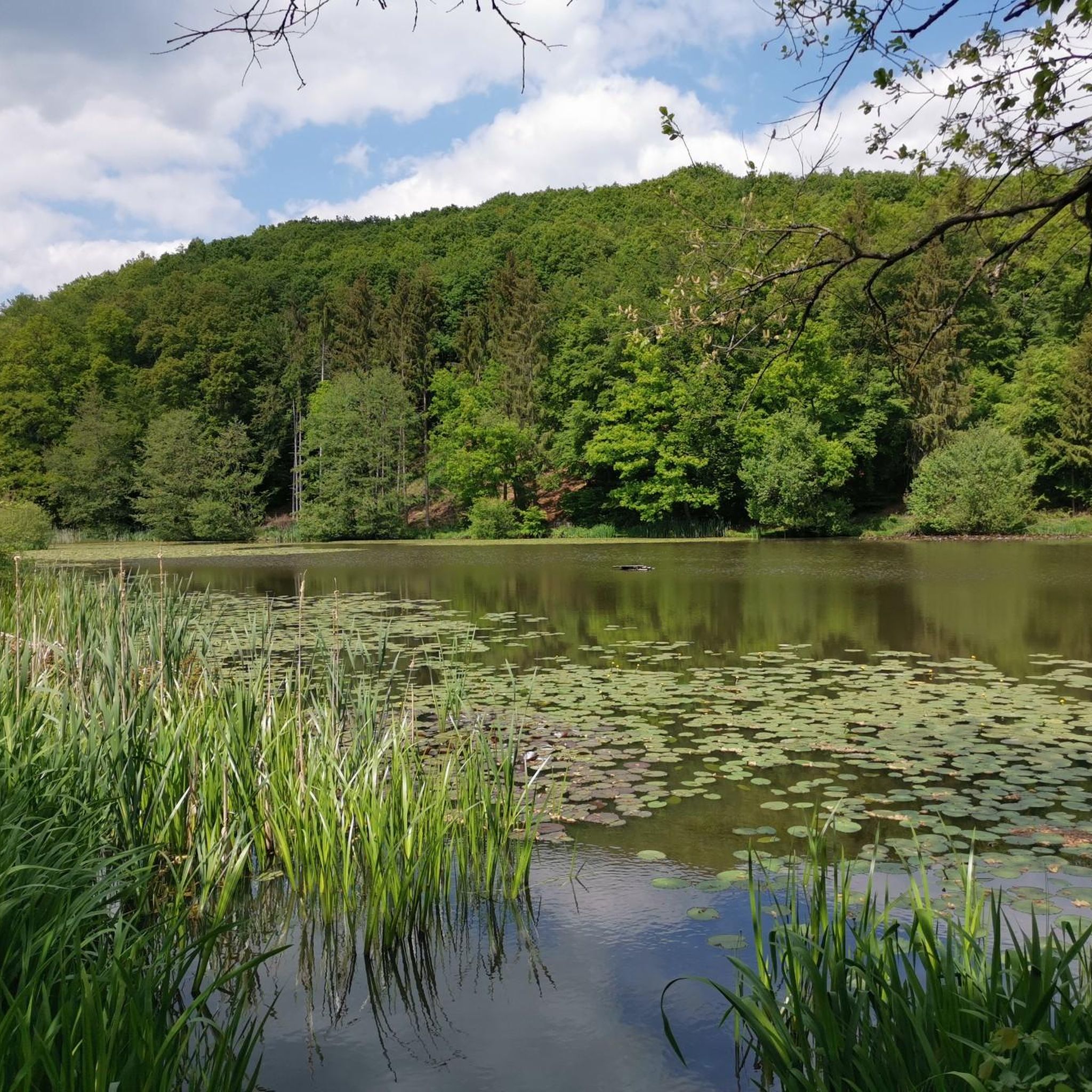
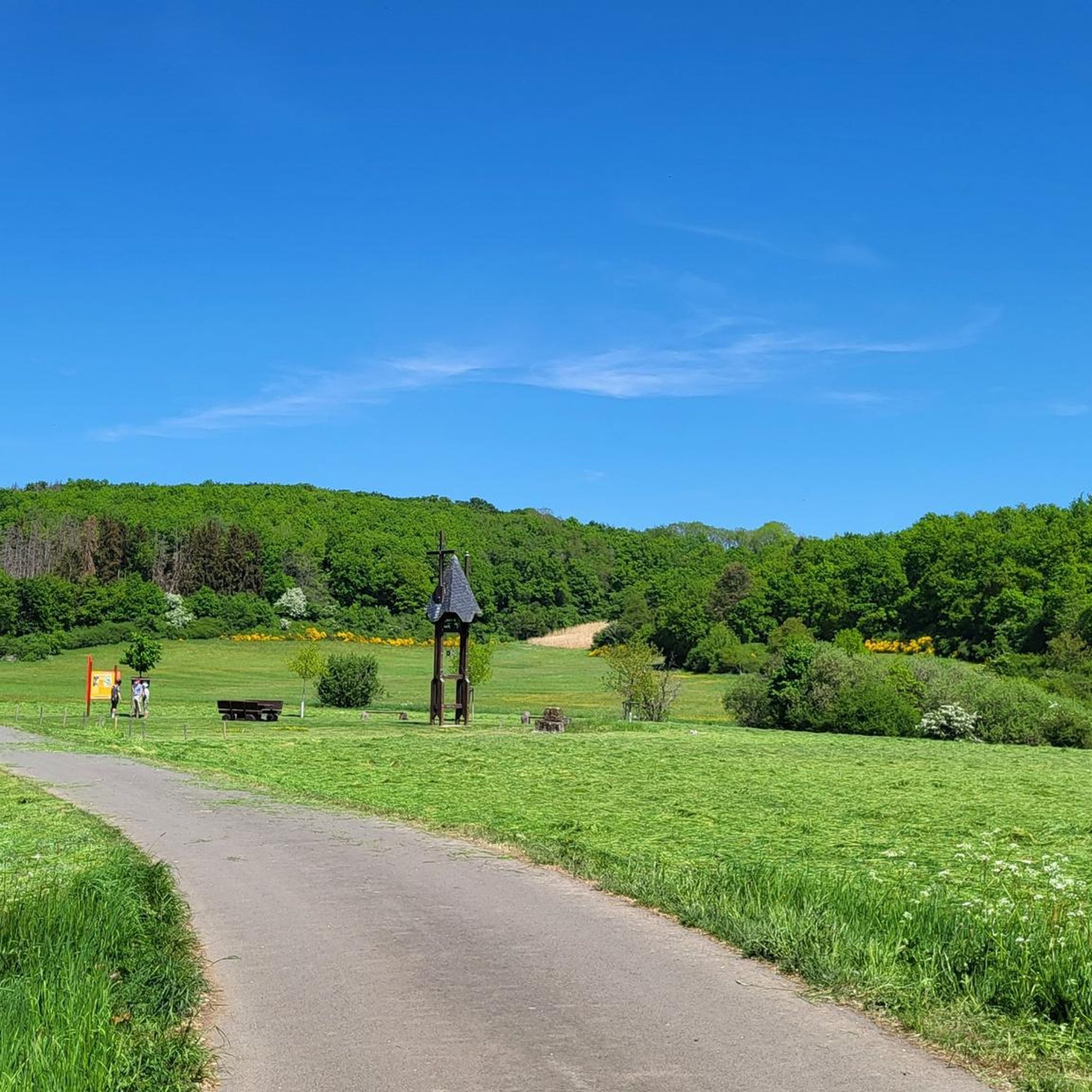
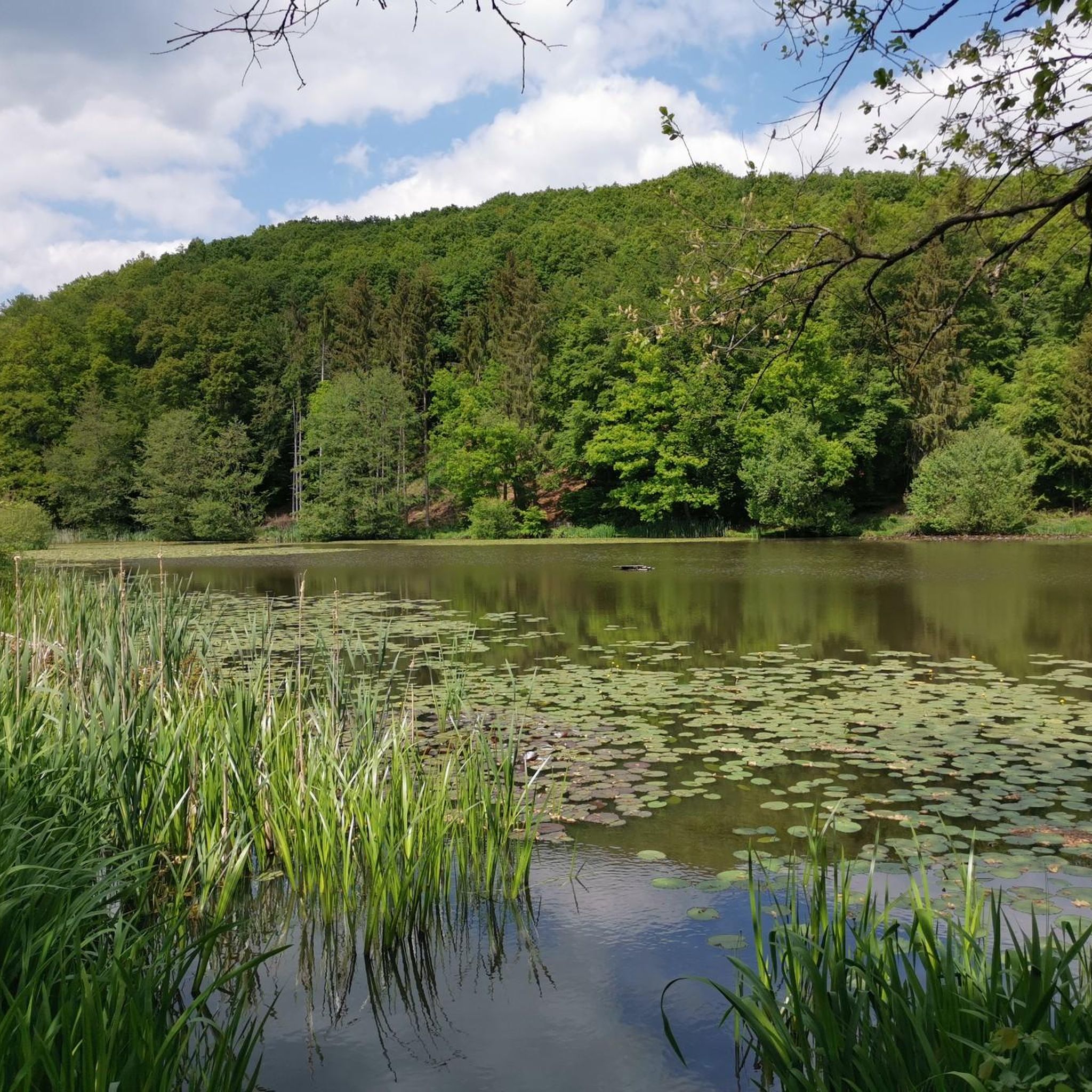

Tips from the Community


Cool two-story bridge. Tracks above and asphalt below :)
1
0

A beautiful view of/over the Moselle.
0
0

A rare and interesting bridge
2
0
It's really cool to drive here...
0
0

Beautiful bridge over the Moselle
3
0

A truly amazing experience for young and old. Turn on the lights – even though the tunnel is lit. And in hot weather, it's like riding through a "refrigerator."
0
0
A well-maintained cycle path runs around the maar, and beautiful views are guaranteed.
0
0
Frequently Asked Questions
What is the general difficulty level of gravel biking trails around Mückeln?
Gravel biking around Mückeln is primarily characterized by challenging routes. Out of 12 available tours, 10 are rated as difficult, and 2 as moderate. This means most trails feature significant elevation changes and varied terrain, making them suitable for experienced riders.
What are the typical distances for gravel bike routes in Mückeln?
The gravel bike routes in Mückeln generally cover longer distances. You can expect trails ranging from approximately 32 km (20 miles) up to 53 km (33 miles). For example, the Pulvermaar – Pulvermaar loop from Greimerath is about 32.5 km, while the Pleiner Tunnel – Grünewald Tunnel loop from Laufeld extends to 53.4 km.
Is parking available near the gravel bike trails in Mückeln?
While specific parking facilities aren't detailed for each route, the trails often start from villages like Greimerath, Niederscheidweiler, Schalkenmehren, and Laufeld. It is generally possible to find parking in or near these starting points, though availability may vary. We recommend checking local parking options before your ride.
Are there family-friendly gravel bike trails in Mückeln?
Given that most gravel bike trails in Mückeln are rated as difficult or moderate, with significant elevation gains, they are generally not considered suitable for families with young children or beginner riders. The terrain and distances are more geared towards experienced gravel bikers.
What kind of terrain can I expect on the gravel bike trails in Mückeln?
The gravel bike trails in Mückeln offer varied terrain, including former railway lines converted into cycle paths and routes traversing volcanic landscapes. You'll encounter significant elevation changes, viaducts, views over the Eifel's distinctive Maare lakes, dense woodlands, and open agricultural areas. The surfaces are primarily unpaved, ideal for gravel bikes.
Are there any circular gravel bike trails in Mückeln?
Yes, many of the popular gravel bike routes in Mückeln are designed as loops. Examples include the Lieser Cycle Path – Grünewald Viaduct loop from Greimerath, the Großes Schlitzohr Tunnel – View of Daun from Daun Viaduct loop from Niederscheidweiler, and the Panorama Bench Sarmerzbach – View of Daun from Daun Viaduct loop from Schalkenmehren.
What can I see along the gravel bike trails in Mückeln?
The routes often feature scenic viewpoints, especially those offering views of the Eifel's volcanic lakes (Maare) and from viaducts. You might also encounter natural attractions like the Klidinger Waterfall or the Elf Grotto and Elbesbach Waterfall, which are part of the region's diverse landscape.
What is the best time of year for gravel biking in Mückeln?
Spring, summer, and autumn generally offer the best conditions for gravel biking in Mückeln. These seasons provide more stable weather, longer daylight hours, and vibrant natural scenery. Always check the local weather forecast before heading out, especially during shoulder seasons.
Are there any specific considerations for winter gravel biking in Mückeln?
Winter gravel biking in Mückeln can be challenging due to potential snow, ice, and shorter daylight hours. While some trails might be passable, conditions can change rapidly. It's advisable to check local weather and trail conditions, use appropriate tires, and ensure you have proper lighting and warm gear if riding during winter months.
What do other gravel bikers enjoy the most about gravel biking in Mückeln?
The area is highly rated by the komoot community, with an average score of 4.1 stars from over 10 reviews. Reviewers often praise the varied terrain, the incorporation of former railway lines and viaducts, and the scenic views over the volcanic Eifel landscape. The challenging nature of the routes is also a highlight for many experienced riders.
Are there any opportunities for wild swimming near the gravel routes?
While the region is known for its volcanic lakes (Maare), specific wild swimming spots directly adjacent to the gravel routes are not detailed. However, the Maare lakes themselves, such as Pulvermaar, often offer designated swimming areas. You might need to plan a short detour from the gravel trails to access these.
Can I find cafes or refreshment stops along the gravel routes in Mückeln?
The gravel routes often pass through or near small villages like Greimerath, Niederscheidweiler, Schalkenmehren, and Laufeld. While not guaranteed on every segment, these villages are your best bet for finding local cafes, bakeries, or restaurants to refuel during your ride. It's always a good idea to carry sufficient water and snacks, especially on longer stretches.
Most popular routes around Mückeln
Most popular attractions around Mückeln

Get inspired with the komoot mobile app


Explore more
Browse the best Gravel rides in other regions.
