The best gravel rides around Unterleinleiter
4.3
(21)
134
riders
29
rides
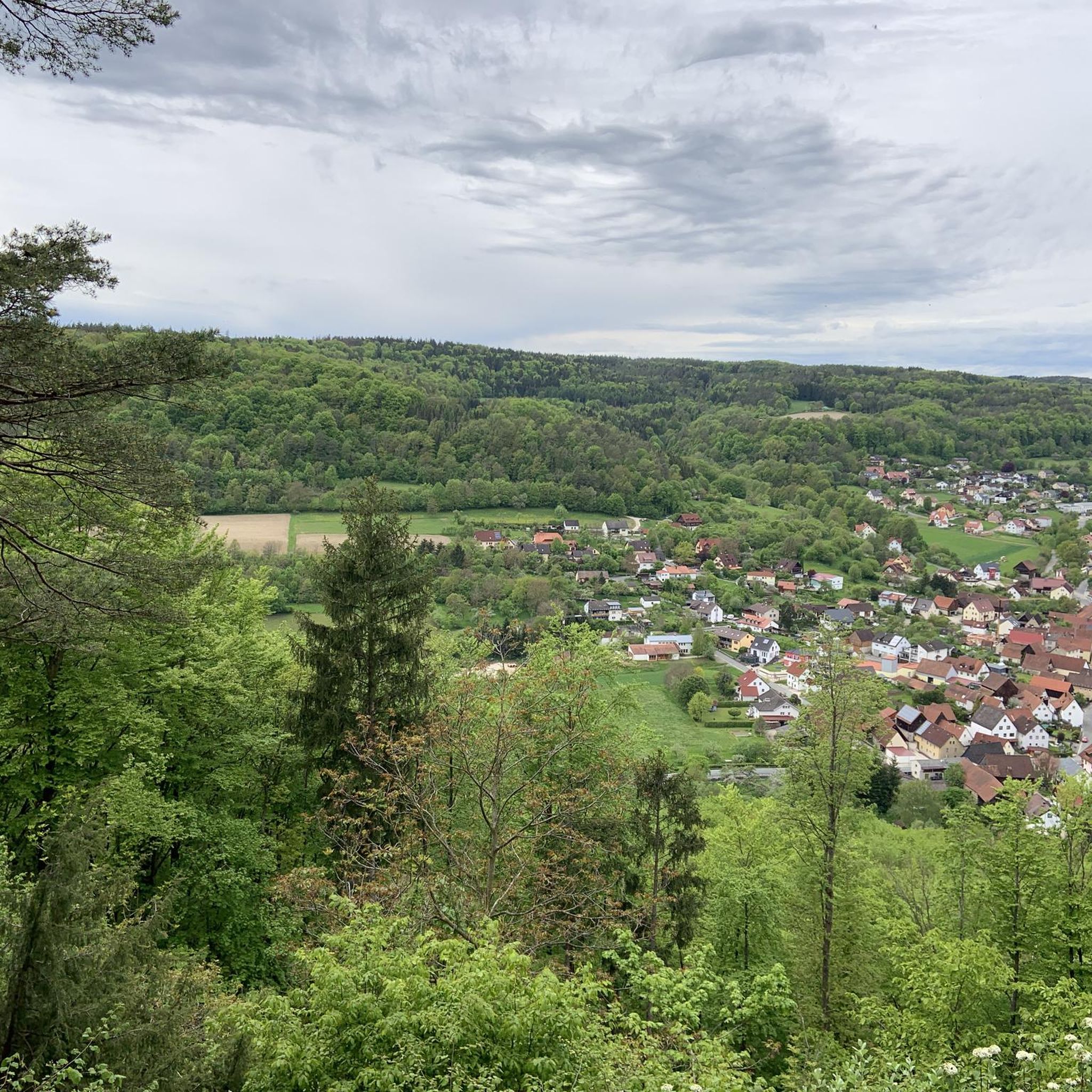
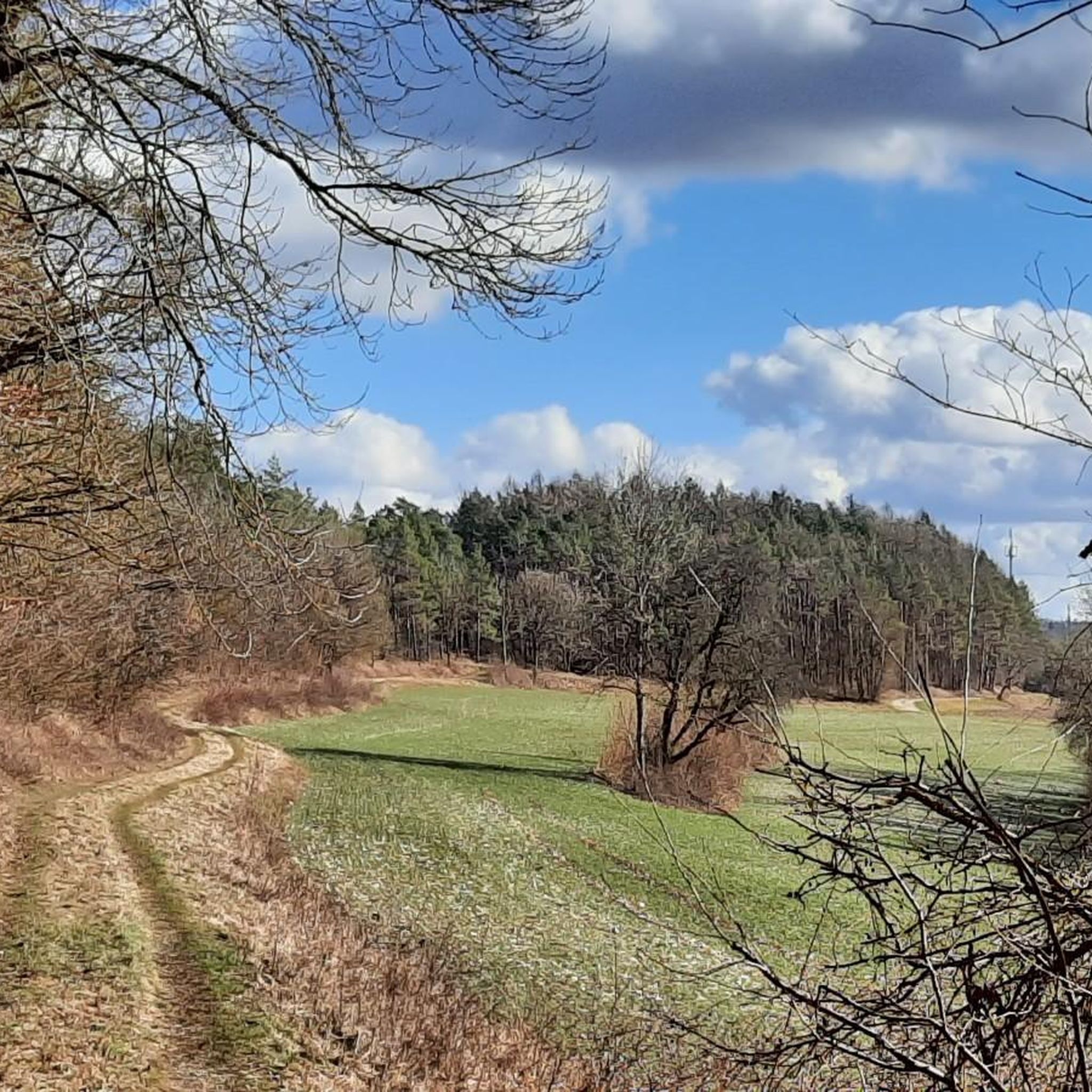
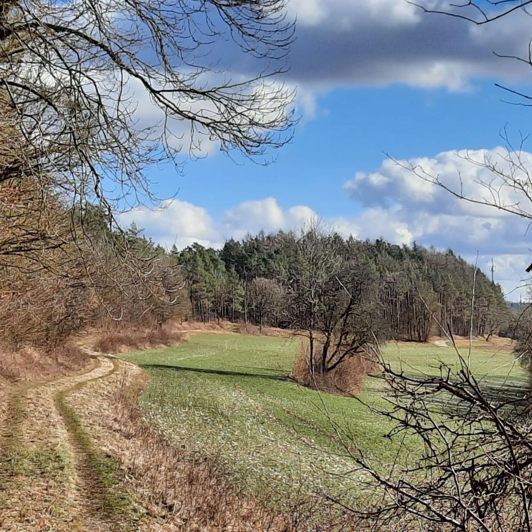
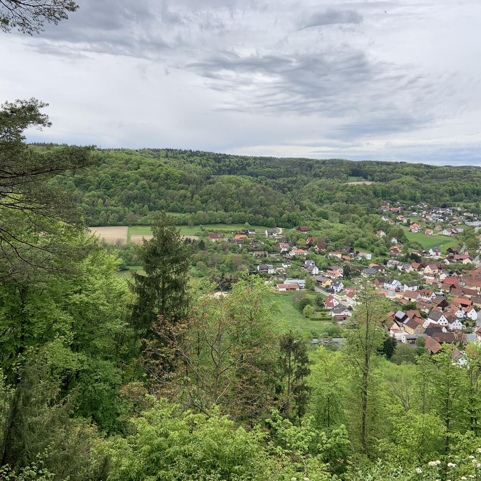
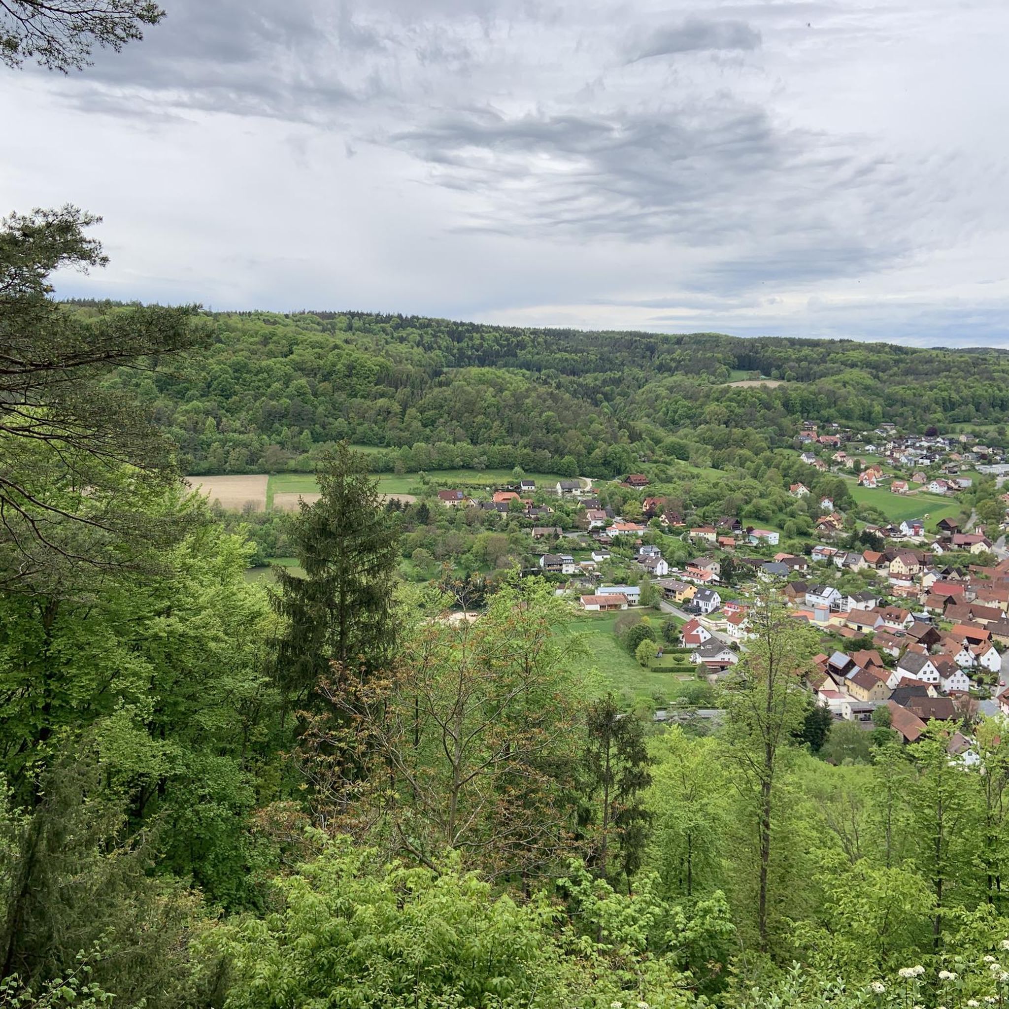
Gravel biking around Unterleinleiter offers diverse terrain within the Leinleitertal Valley and Franconian Switzerland. The region features a mix of paved roads, gravel paths, and natural trails, traversing rolling hills and dense mixed forests. Karst topography, including springs and rock formations, adds to the varied landscape, providing dynamic riding experiences.
Best gravel bike trails around Unterleinleiter
- The most popular gravel bike trail is Old Leidingshof Road – View of Taschnerfelsen loop from Unterleinleiter, a 28.2 miles (45.4 km) trail…
Last updated: July 10, 2026
4.8
(4)
21
riders
45.4km
02:58
560m
570m
Hard gravel ride. Very good fitness required. Mostly paved surfaces. Suitable for all skill levels.
4.0
(1)
17
riders
Hard gravel ride. Very good fitness required. Mostly paved surfaces. Suitable for all skill levels.

Sign up for free
4.4
(7)
15
riders
Hard gravel ride. Very good fitness required. Mostly paved surfaces. Suitable for all skill levels.
3.0
(1)
6
riders
Hard gravel ride. Very good fitness required. Mostly paved surfaces. Suitable for all skill levels.
5.0
(1)
5
riders
31.3km
02:01
400m
400m
Moderate gravel ride. Good fitness required. Mostly paved surfaces. Suitable for all skill levels.
Get access to more routes and recommendations from other explorers.
Sign up for free
Already have an account?
Our route recommendations are based on thousands of hikes, rides, and runs completed by other people on komoot.
Start today with a free account
Your next adventure awaits.
Login or Signup
Tips from the Community

Too bad, I would have liked to see it with a train.
0
0


Dreamlike cycle path through the Leinleiten valley
0
0
The Neideck always goes.
0
0

Great scenery for cycling. It also works great with a gravel bike.
0
0

The cycle path between Hollfeld and Stechendorf is officially known as the Franconian Switzerland High Trail. The path follows the former railway line between Bayreuth and Hollfeld, which was closed in 1974. Thanks to the use of the old railway line, the route is largely flat and gently sloping. From Hollfeld, the path leads along the Wiesent Valley towards Stechendorf and on to Bayreuth. It is often also referred to as a leisure cycle path or a railway line path.
1
0


Pottenstein is a town in the Bayreuth district. This tourist hotspot and state-recognized climatic health resort is located in Franconian Switzerland.
2
0
Frequently Asked Questions
What kind of terrain can I expect on gravel bike trails around Unterleinleiter?
The region around Unterleinleiter, nestled in the Leinleitertal Valley within Franconian Switzerland, offers a varied gravel biking experience. You'll encounter a mix of paved roads, classic gravel paths, and natural trails. The routes often traverse rolling hills and dense mixed forests, characteristic of the idyllic Franconian Jura. Some paths even utilize former railway lines, providing flatter, scenic stretches. The area's karst topography also means you might encounter unique rock formations and springs.
How many gravel bike routes are available in the Unterleinleiter area?
There are over 50 gravel bike routes available around Unterleinleiter. These routes cater to a wide range of abilities, with 3 easy, 20 moderate, and 27 difficult trails, ensuring options for various skill and fitness levels.
Are there any easy or beginner-friendly gravel bike trails near Unterleinleiter?
Yes, there are several easy routes suitable for beginners. For instance, the Ebermannstadt Market Square – View of Neideck Castle Ruins loop from Ebermannstadt is an easy 18.8-mile (30.3 km) trail that offers a pleasant ride through scenic landscapes.
What are some challenging gravel bike routes for experienced riders?
Experienced gravel bikers will find plenty of challenging options. The Old Leidingshof Road – View of Taschnerfelsen loop from Unterleinleiter is a difficult 28.2-mile (45.4 km) trail featuring significant elevation gain. Another demanding route is the Burg Feuerstein Airfield – Ebermannstadt Market Square loop from Unterleinleiter, a 27.5-mile (44.2 km) path navigating through forests and open landscapes.
Are there any circular gravel bike routes around Unterleinleiter?
Many of the gravel bike routes in the area are designed as loops, allowing you to start and end in the same location. Examples include the View of Walberla (Ehrenbürg) – Ebermannstadt Old Town loop from Ebermannstadt, which is a moderate 18.8-mile (30.3 km) trail, and the more challenging School Mill Veilbronn – View of Schloss Greifenstein loop from St. Veit und St. Michael.
What historical sites or landmarks can I see along the gravel bike trails?
The region is rich in historical structures. You can explore the ruins of Neideck Castle, a landmark of Franconian Switzerland, which offers great views. Other nearby castles include Greifenstein Castle. The village of Unterleinleiter itself features a Gothic Protestant parish church and a Catholic parish church built in 1841.
Are there any natural viewpoints or scenic spots along the routes?
Absolutely. The Leinleitertal Valley itself offers spectacular views with trails leading alongside the river. Natural viewpoints like the Schnepfenstein and Klebfelsen provide expansive panoramas of the surrounding Franconian landscape. You can also find stunning views from the Hohes Kreuz Observation Tower and the View of the Wiesent Valley from the Walberla.
What do other gravel bikers say about the trails in Unterleinleiter?
The gravel biking routes around Unterleinleiter are highly rated by the komoot community, with an average score of 4.5 stars from over 44 reviews. More than 330 gravel bikers have used komoot to explore the varied terrain, often praising the diverse landscapes, from rolling hills and dense forests to picturesque valleys and unique karst features.
Are there any places to eat or stay near the gravel bike trails?
Yes, there are options for refreshments and accommodation. You can find huts and restaurants like the Naturfreundehaus Veilbronn or the Kuchenmühle in the Aufseß Valley. The villages and towns in the region, including Unterleinleiter and Ebermannstadt, offer various cafes, pubs, and accommodation options.
What is the best time of year for gravel biking in Unterleinleiter?
Franconian Switzerland offers excellent gravel biking conditions throughout much of the year. Spring and autumn provide pleasant temperatures and beautiful scenery with changing foliage. Summer is also great, though some trails might be busier. While winter riding is possible, be prepared for colder temperatures and potentially icy or muddy conditions on some natural trails.
Are there any unique natural features to explore while gravel biking?
The region is known for its fascinating karst topography. You can find features like the 'Geuder,' a karst spring in Dürrbrunn, and numerous caves such as the Oswald Cave and Quackenschloss. The Rock formations on the Ehrenbürg (Walberla) are also a notable natural monument.
Is there parking available for cyclists in Unterleinleiter?
Yes, parking is generally available in and around Unterleinleiter, particularly at trailheads or in the village center. Specific parking information can often be found on individual route descriptions on komoot or local tourism websites.
Most popular routes around Unterleinleiter
Most popular attractions around Unterleinleiter

Get inspired with the komoot mobile app


Explore more
Browse the best Gravel rides in other regions.
