The best gravel rides around Floß
4.5
(55)
239
riders
80
rides
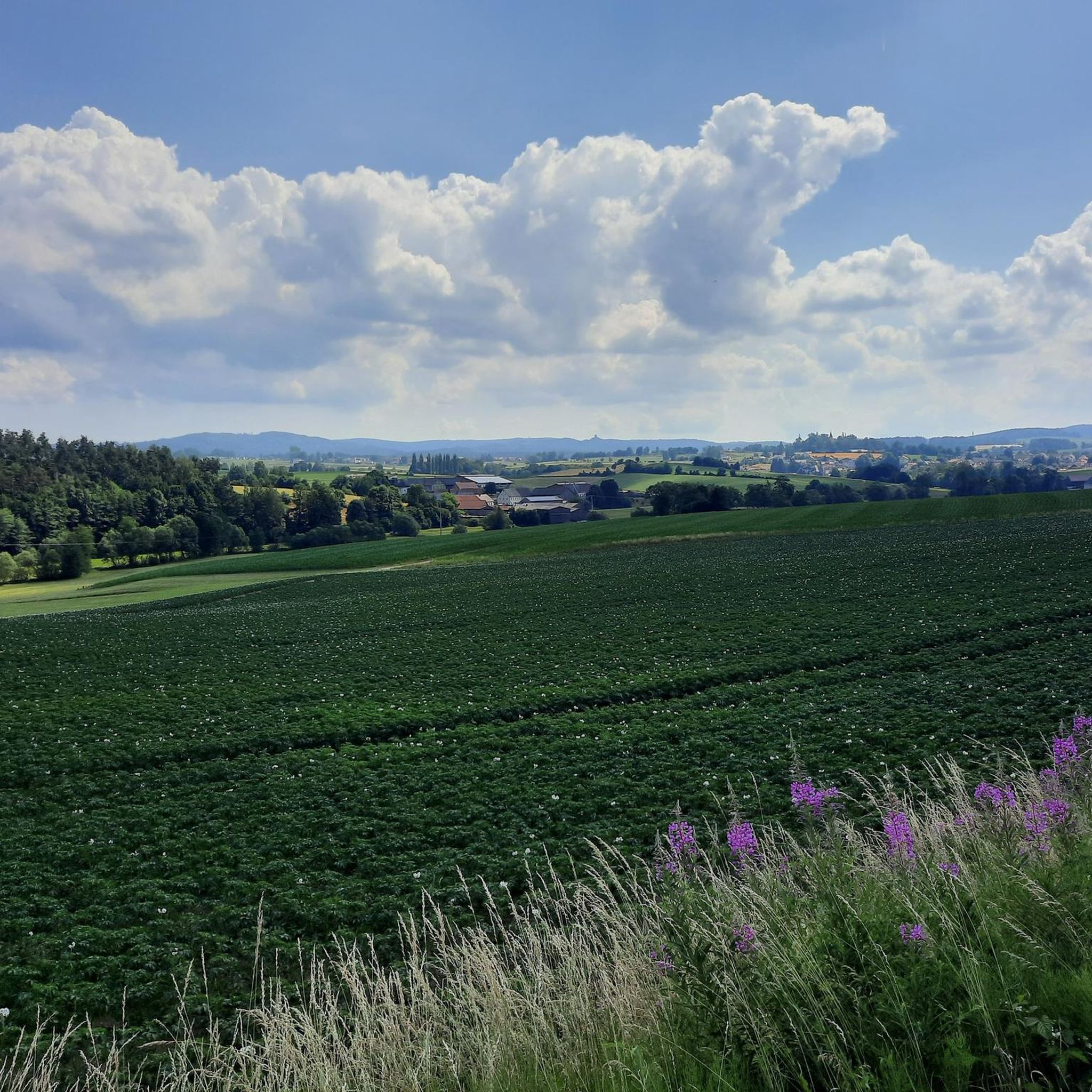
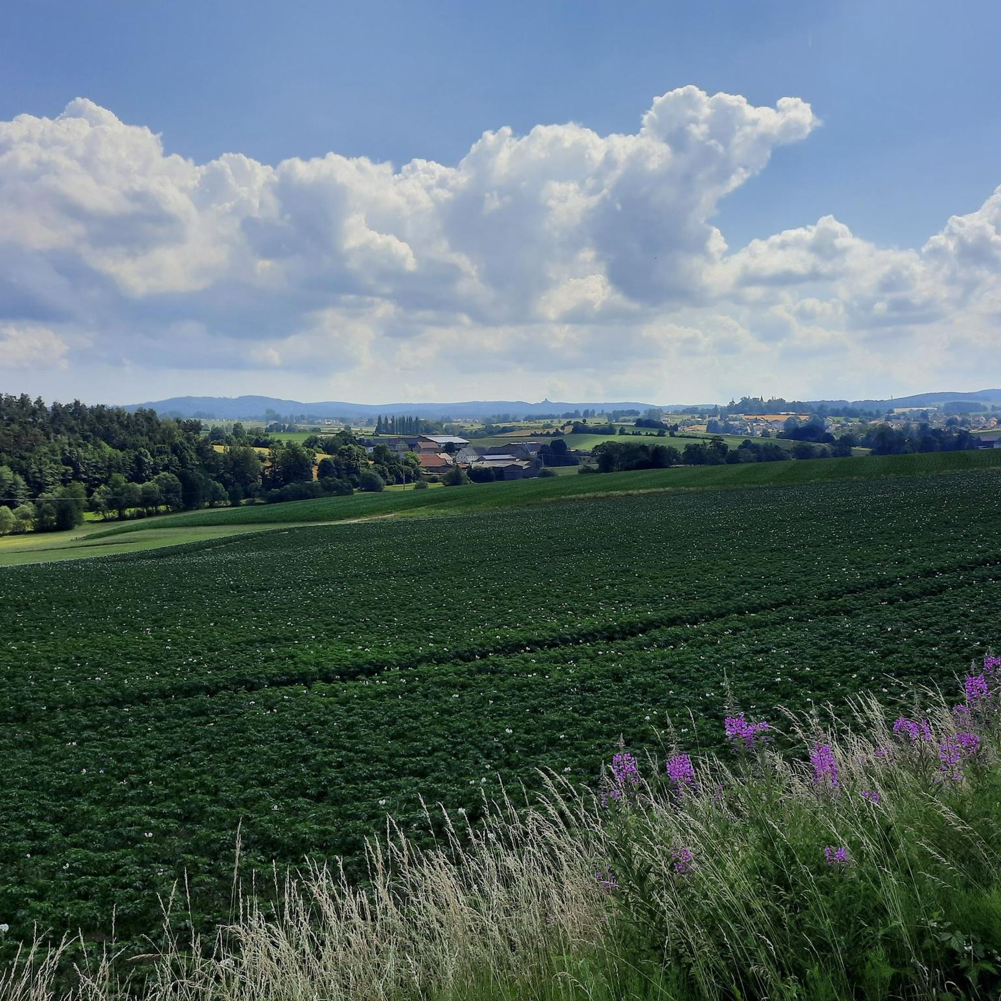
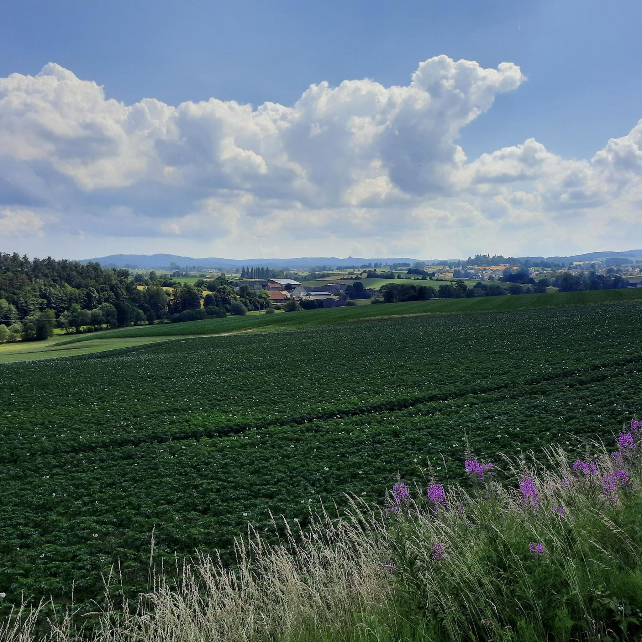
Gravel biking around Floß offers diverse terrain in the Upper Palatinate district of Neustadt an der Waldnaab, Germany. The region is characterized by its location on both sides of the Floß river, nestled in a valley and extending over flanking hills. Cyclists encounter a mix of paved and unpaved surfaces, with routes featuring varied elevation gains. The landscape provides picturesque scenery, including natural monuments and historical castles.
Best gravel bike trails around Floß
- The most popular gravel bike trail is…
Last updated: July 2, 2026
4.5
(4)
37
riders
68.4km
04:27
720m
720m
Hard gravel ride. Very good fitness required. You may need to push your bike for some segments of this route.
4.5
(12)
31
riders
40.3km
02:03
140m
140m
Moderate gravel ride. Good fitness required. Mostly paved surfaces. Suitable for all skill levels.

Sign up for free
3.3
(3)
12
riders
32.9km
01:47
200m
200m
Moderate gravel ride. Good fitness required. Mostly paved surfaces. Suitable for all skill levels.
5.0
(1)
5
riders
Easy gravel ride. Great for any fitness level. Mostly paved surfaces. Suitable for all skill levels.
4.8
(4)
8
riders
28.3km
01:40
220m
220m
Moderate gravel ride. Good fitness required. Mostly paved surfaces. Suitable for all skill levels.
Get access to more routes and recommendations from other explorers.
Sign up for free
Already have an account?
Our route recommendations are based on thousands of hikes, rides, and runs completed by other people on komoot.
Start today with a free account
Your next adventure awaits.
Login or Signup
Popular around Floß
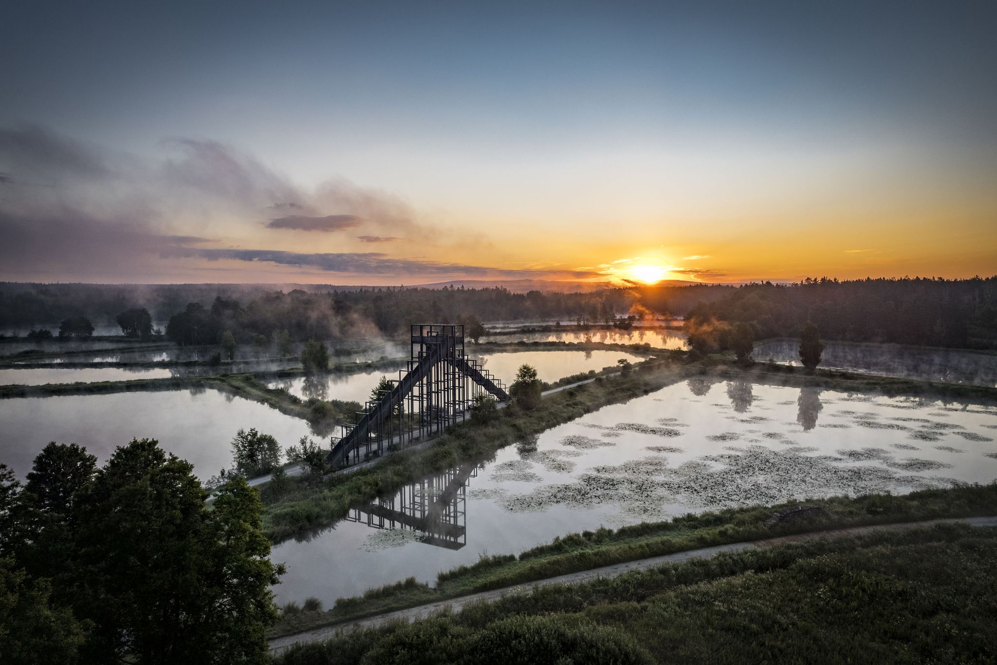
How refreshing! Trails by the water in the Upper Palatinate Forest
On the 'Kultouren' through the Upper Palatine Forest
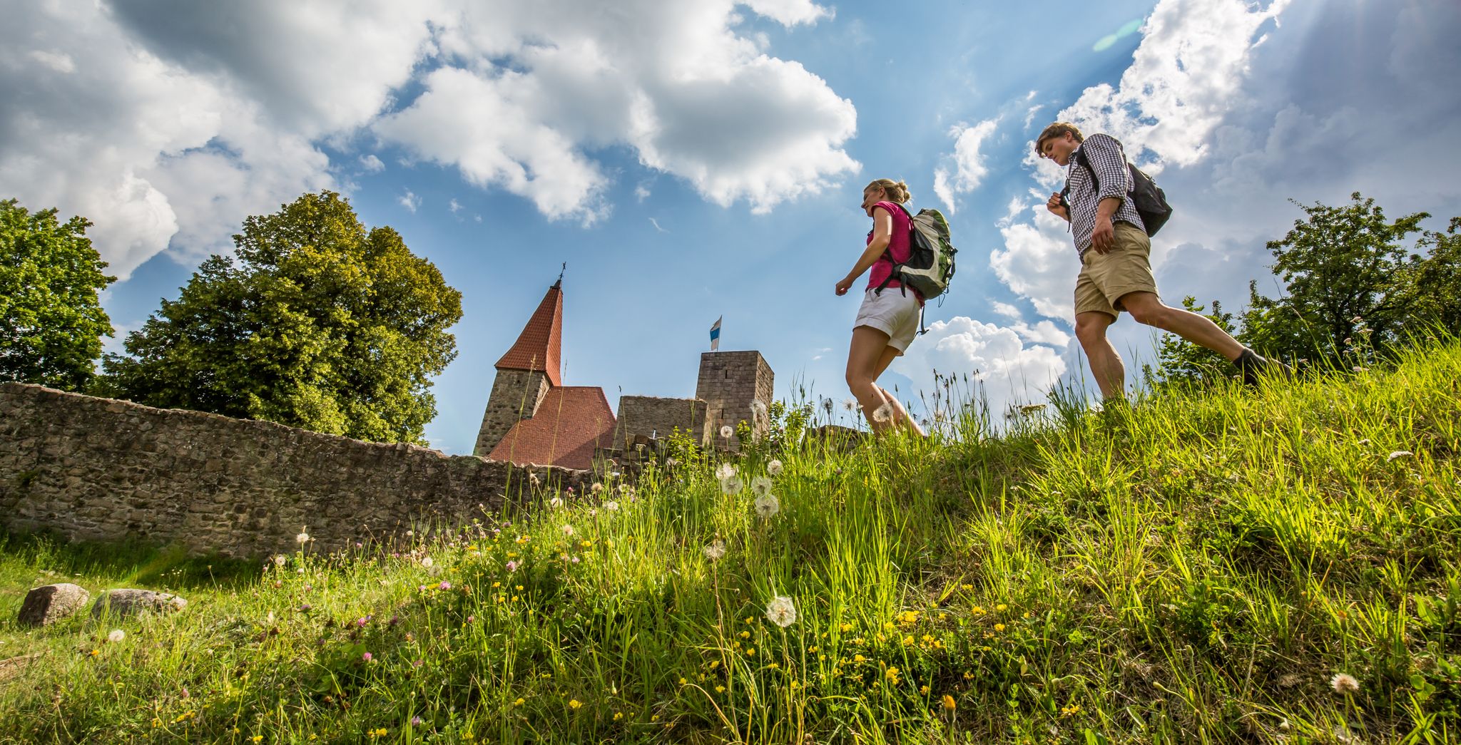
Oberpfalz: the hidden MTB paradise in East Bavaria
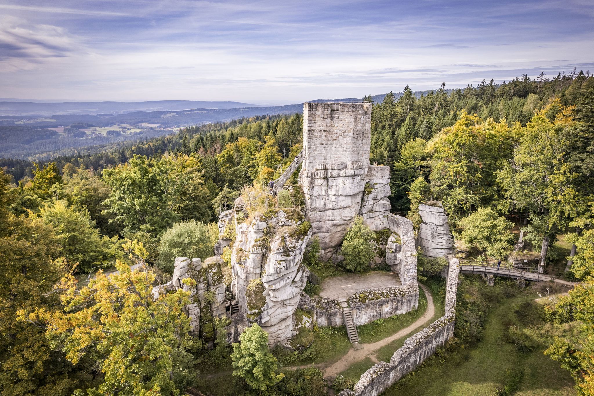
Water, forest and castles — hiking in the Upper Palatinate Forest
Hiking around Floß
Cycling around Floß
Road Cycling Routes around Floß
MTB Trails around Floß
Running Trails around Floß
Other adventures around Floß


Tips from the Community

Wonderful stretches of trail in a magnificent landscape
0
0
Wonderful sections of trail in a magnificent landscape
0
0

The Pfreimd is a river approximately 76 km long in the Czech Republic and Germany, located in the Upper Palatinate Forest. After a roughly southwesterly course, it flows from the left into the Naab River near the town of Pfreimd in the Schwandorf district. Its upper course, flowing roughly south for 20 km in the Czech Republic, is called the Kateřinský potok. On the Bavarian side, it then continues briefly as the Katerinabach until it reaches the tributary of the Rehlingbach, where the remaining 54 km of its name begins.
0
0

An ancient bridge, built of granite blocks, crosses the Haidenaab River near Steinfels. The castle and its chapel are also worth seeing; gravel and sand mining created a lake landscape.
10
0
The Haidenaabradweg is always an experience in every season.
13
0
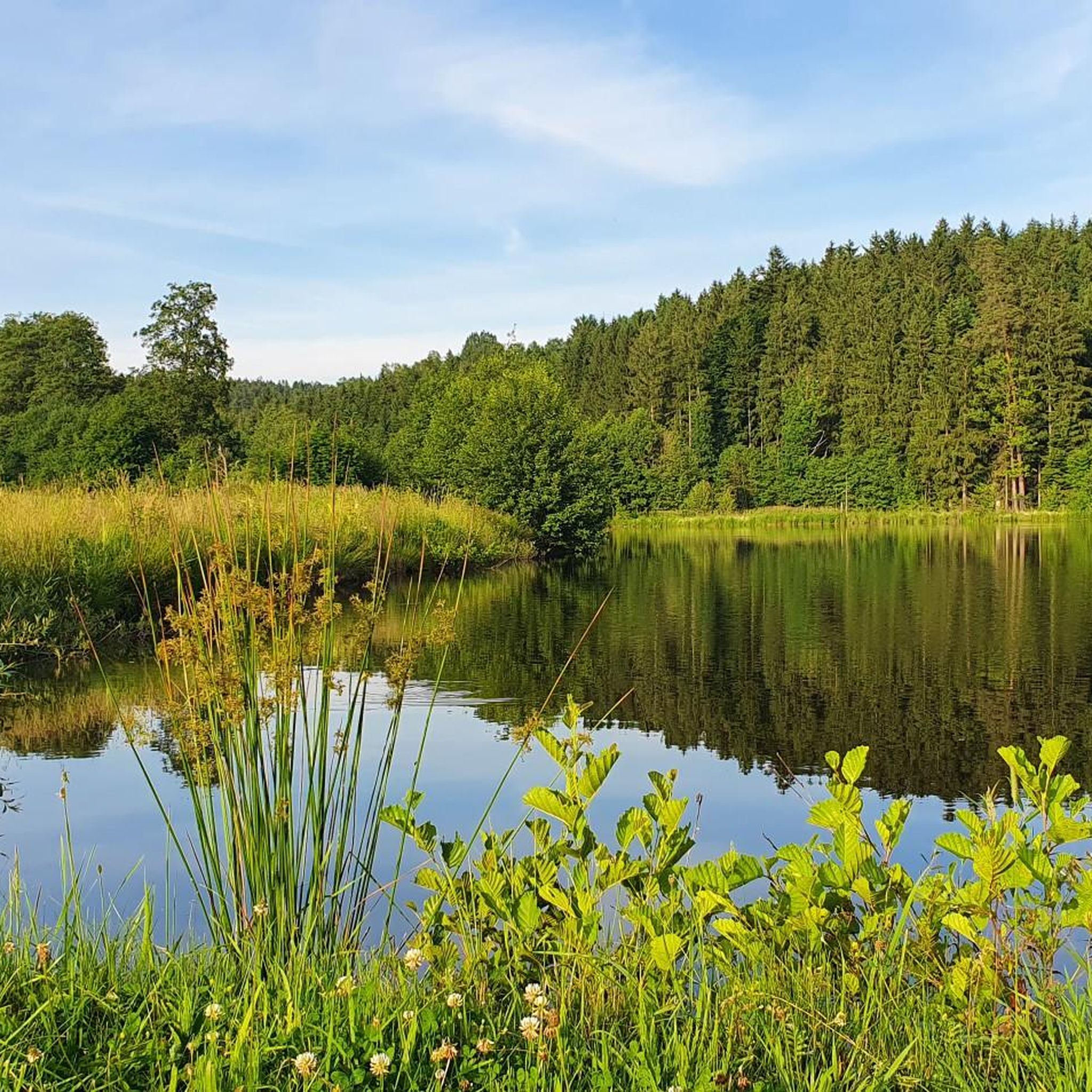
The Schwarzer Weiher is a gravel pit lake near Mantel that is popular with anglers. The Haidenaab cycle path also passes by the Schwarzer Weiher, offering a diverse range of beautiful natural scenery.
11
0

The route from Neustadt to Hammerharlesberg follows the historic traces of the Old Magdeburg Road: https://www.wikiwand.com/de/articles/Magdeburger_Stra%C3%9Fe_(Altstra%C3%9Fe)
0
0

Frequently Asked Questions
How many gravel bike trails are available around Floß?
There are nearly 130 gravel bike routes available around Floß, offering a wide range of options for different skill levels and preferences.
What kind of terrain can I expect on gravel bike trails near Floß?
The terrain around Floß is diverse, featuring a mix of paved and unpaved surfaces. You'll encounter river valleys, rolling hills, and some challenging segments with significant elevation gains, providing a varied gravel biking experience.
Are there any easy gravel bike routes for beginners in Floß?
Yes, while many routes are moderate to difficult, there are 7 routes specifically categorized as easy, perfect for beginners or those looking for a more relaxed ride.
What do other gravel bikers enjoy most about the trails in Floß?
The gravel biking routes in Floß are highly rated by the komoot community, with an average score of 4.6 stars from over 60 reviews. Riders often praise the varied terrain, scenic river valleys, and the mix of challenging and moderate options.
Are there any loop routes for gravel biking around Floß?
Yes, many routes are designed as loops. For example, the Mooslohe Raised Bog – Community Pond loop from Altenstadt (Waldnaab) is a moderate 32.6 km (20.3 miles) route that offers a scenic circular ride.
What natural features or landmarks can I see along the gravel bike trails?
The region boasts several natural monuments and historical sites. You might encounter the Doost Granite Boulder Field or the Great Devil's Kitchen. Historical castles are also part of the landscape, adding cultural interest to your ride.
Are there any routes with significant elevation gain for advanced riders?
Absolutely. Floß offers 60 difficult routes for experienced riders. A challenging option is the View of Vohenstrauß – Bocklweg loop from Weiden (Oberpf), which covers 58.2 km (36.2 miles) with over 535 meters (1,755 feet) of elevation gain.
Can I find routes that follow river valleys?
Yes, the region is characterized by its rivers. The Haidenaab Bridge – Haidenaab River loop from Weiden (Oberpf) is a popular 56.3 km (35.0 miles) route that leads through the scenic Haidenaab River valley.
What is a good moderate gravel bike route to explore the area?
A great moderate option is the Owy Mantel Singletrack – View of Luhe loop from Weiden (Oberpf). This 40.4 km (25.1 miles) route offers a mix of singletrack sections and scenic views of the Luhe river.
Are there any viewpoints or towers along the gravel trails?
Yes, some routes offer excellent viewpoints. The Haidenaab River – Rödlas Observation Tower loop from Weiden (Oberpf) is a challenging 68.4 km (42.5 miles) trail that features significant elevation gain and rewarding views from the Rödlas Observation Tower.
What are the best times of year for gravel biking in Floß?
The region is generally suitable for gravel biking from spring through autumn. While specific conditions vary, the diverse terrain and natural beauty are best enjoyed in milder weather. Winter conditions can introduce snow and ice, making some trails more challenging.
Are there any gorges or unique geological formations to see?
Yes, the area around Floß features several interesting geological formations. You can explore the Waldnaab Valley or the Lerau Valley, both of which are notable gorges in the vicinity.
Most popular attractions around Floß

Get inspired with the komoot mobile app


Explore more
Browse the best Gravel rides in other regions.
