The best gravel rides around Harsdorf
4.5
(36)
237
riders
62
rides
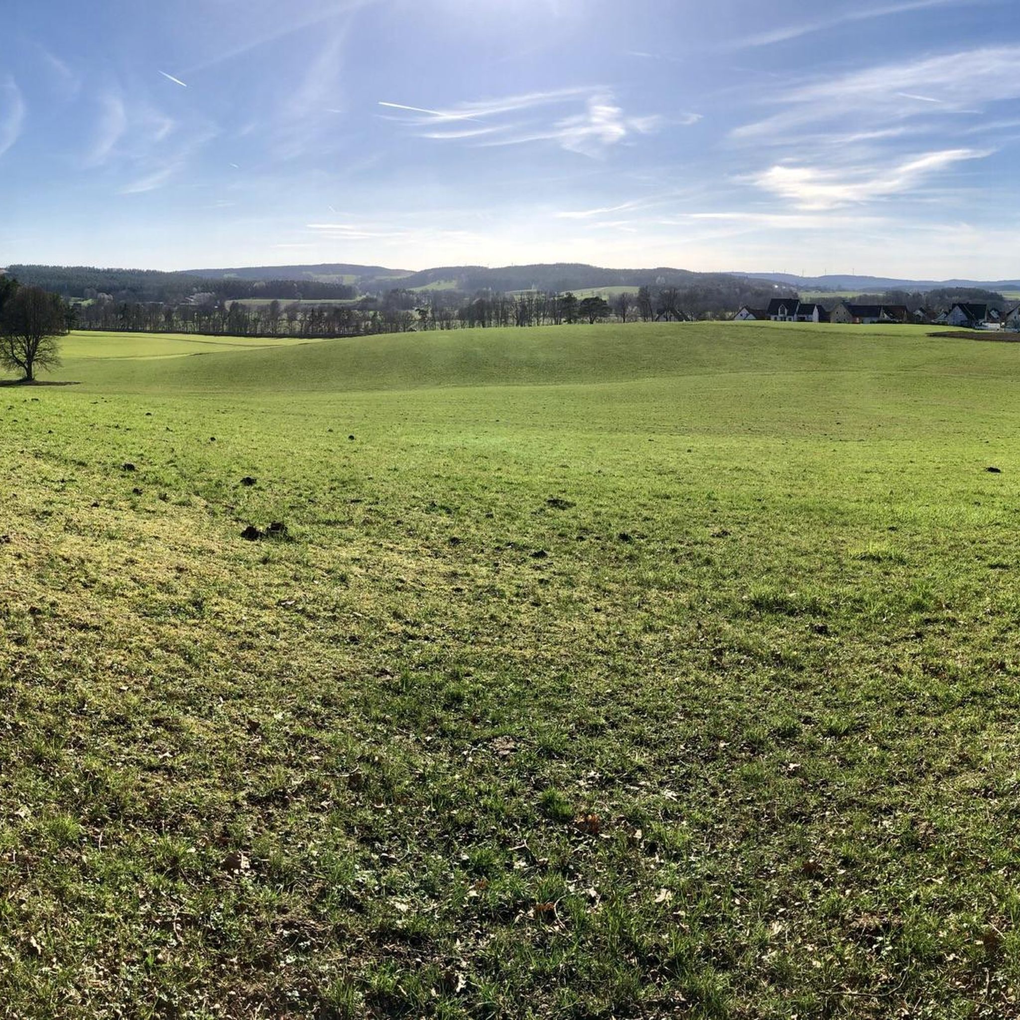
Gravel biking around Harsdorf offers diverse terrain within the Upper Main Hill Country in Bavaria, Germany. The region is characterized by its position at the edge of the Trebgast valley basin, ascending to a ridge that provides varied topography. This landscape features rolling hills, forests, and an elevation of 351 meters above sea level, creating a mix of challenging climbs and descents. Routes in the area include both well-paved and unpaved sections, catering to different skill levels and preferences.
Best…
Last updated: October 19, 2026
4.3
(9)
53
riders
Hard gravel ride. Very good fitness required. Mostly paved surfaces. Suitable for all skill levels.
8
riders
103km
06:15
1,130m
1,130m
Hard gravel ride. Very good fitness required. Mostly paved surfaces. Suitable for all skill levels.

5.0
(2)
16
riders
35.3km
02:19
430m
430m
Moderate gravel ride. Good fitness required. Mostly paved surfaces. Suitable for all skill levels.
6
riders
65.9km
04:30
850m
850m
Hard gravel ride. Very good fitness required. Mostly paved surfaces. Suitable for all skill levels.
4.5
(2)
15
riders
36.1km
02:17
500m
500m
Hard gravel ride. Very good fitness required. Mostly paved surfaces. Suitable for all skill levels.
Get access to more routes and recommendations from other explorers.
Already have an account?
Our route recommendations are based on thousands of hikes, rides, and runs completed by other people on komoot.
Start today with a free account
Your next adventure awaits.
Tips from the Community

romantic through nature
0
0

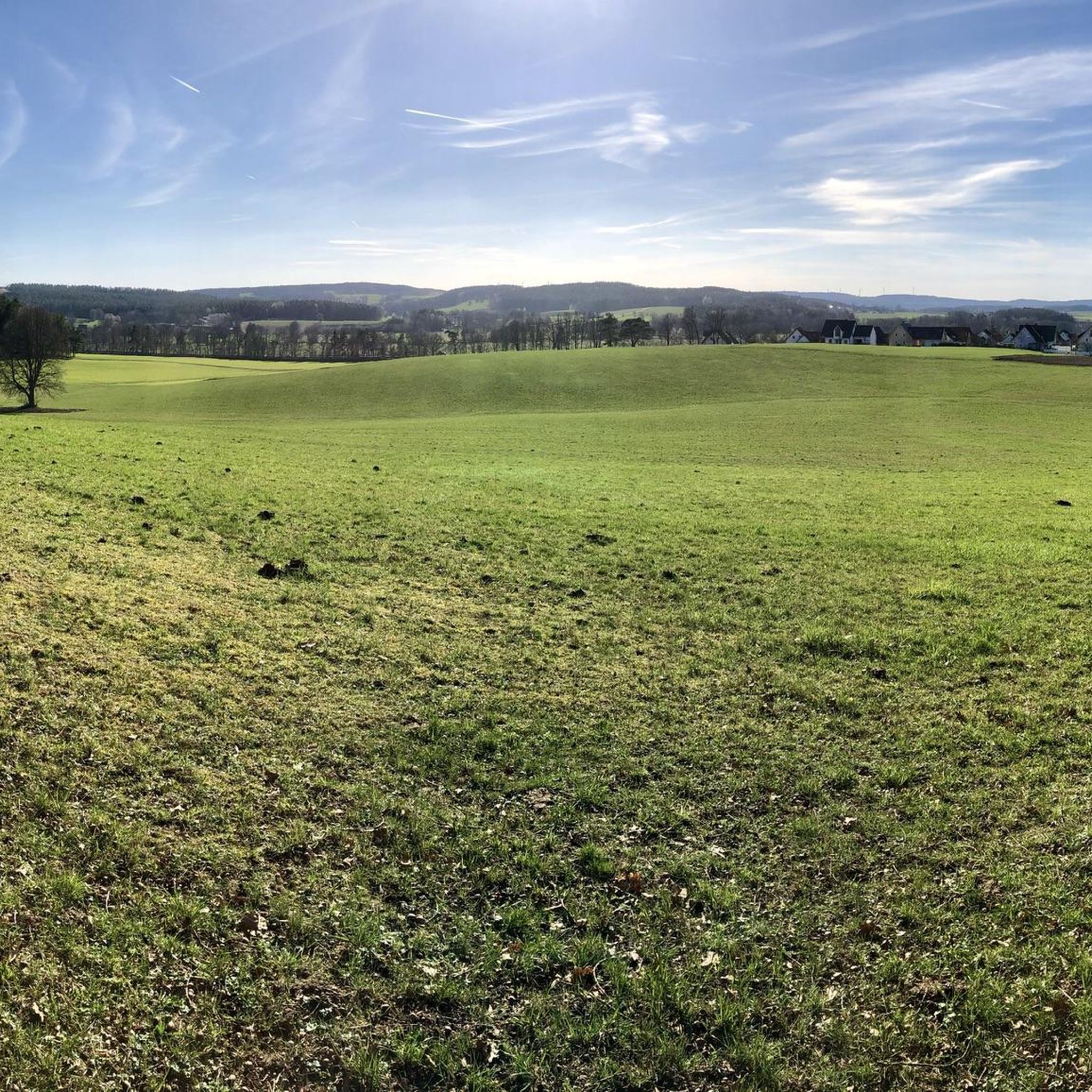
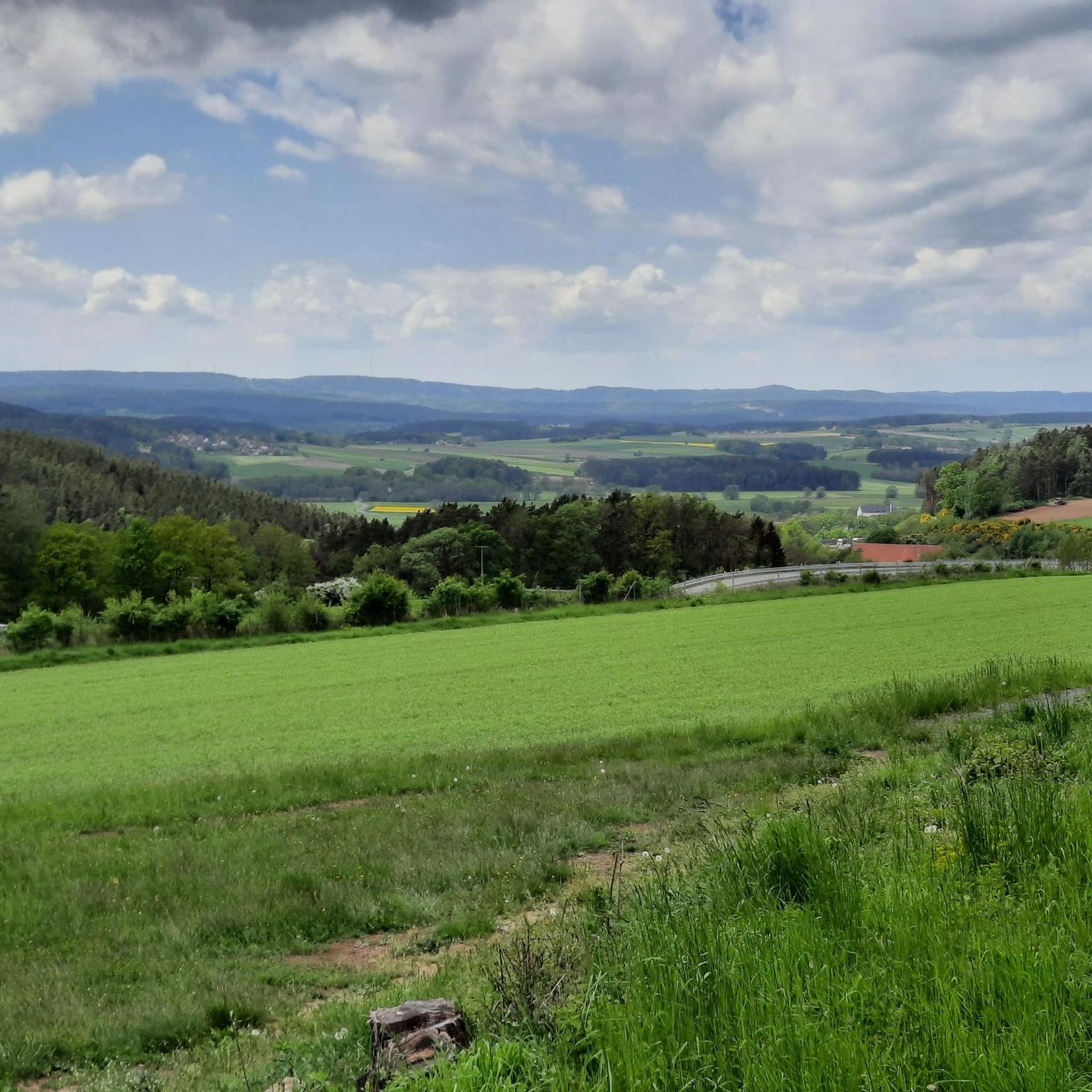
Beautiful view over the municipality of Goldkronach into the Fichtelgebirge. Far left, you can see over Himmelkron into the Franconian Forest.
0
0

The Mistelbach cycle path is a central cycling connection in Bayreuth, linking the city center with the southwestern surroundings. It is considered one of the "established axes" in the city's cycle network. The path leads from the Bayreuth city center (near the Rotmain-Center) along the Mistelbach out of town towards the municipality of Mistelbach. It is part of the regional connection from Bayreuth to Hollfeld, which partly runs along a former railway line. The route is considered easy to moderate and is well suited for families due to only short uphill sections.
1
0

A circular walk around the Röhrensee lake in BT is always a good idea.
0
0

Like most river sources, it's rather unspectacular, but if you're planning to cycle the Main cycle path anyway...
2
0

The mighty signal tower was built on the foundations of the former keep of a former castle complex and has been enthroned on the plateau for over 500 years. Anyone who conquers the 68 steps of the narrow spiral staircase is rewarded with a wide view of the Kulmbacher Land as far as the Frankenwald, the Fichtelgebirge and the Thüringer Wald. In a southerly direction, you can even see as far as the plateaus of the Fränkische Schweiz.
19
0
The Schafsteg (Sheep Footbridge) is a small but important bridge for hikers and walkers, spanning the Red Main River in this wooded area near Aichig, a district of Bayreuth. Located in a natural woodland setting, the footbridge is situated slightly outside the city center. It is an important part of the network of long-distance mountain hiking trails, allowing hikers and cyclists to cross the Red Main, for example, on routes leading towards Emtmannsberg or the source of the Red Main. Originally, the Schafsteg was a wooden structure. However, due to significant moisture damage over time and compromised stability, the city of Bayreuth replaced the bridge in 2018.
4
0

Frequently Asked Questions
What kind of terrain can I expect on gravel bike trails around Harsdorf?
Gravel biking around Harsdorf offers a diverse landscape within the Upper Main Hill Country. You'll encounter rolling hills, forests, and scenic river valleys. Routes feature a mix of well-paved sections and unpaved segments, providing varied experiences for different skill levels. The elevation of Harsdorf at 351 meters above sea level ensures both challenging climbs and rewarding descents.
Are there any easy gravel bike routes suitable for beginners in Harsdorf?
Yes, Harsdorf offers routes suitable for various skill levels. While many routes are moderate to difficult, there are options that cater to beginners. For example, the Main Cycle Route in Bayreuth – Rotmain Canal loop from Bayreuth Hbf is a moderate 35.3 km path that follows the Main Cycle Route, offering riverside views and canal-side riding, which can be a good starting point.
What are some notable landmarks or points of interest I can see while gravel biking near Harsdorf?
The region around Harsdorf is rich in historical and natural attractions. You can explore places like the impressive Plassenburg Fortress or the beautiful New Palace Bayreuth. For those interested in natural features, there are also highlights such as the Sand Pit Trails at Siegesturm.
Are there any family-friendly gravel biking options in the Harsdorf area?
While many routes in Harsdorf involve varied terrain and some challenging sections, families can find suitable paths, especially those with well-paved segments. The region's diverse network allows for choosing routes that match the family's experience level. Consider looking for shorter, less elevated loops for a more relaxed family outing.
Can I bring my dog on the gravel bike trails around Harsdorf?
Many gravel bike trails in natural settings are generally dog-friendly, provided your dog is well-behaved and kept on a leash where required. It's always advisable to check specific trail regulations or local signage. The varied terrain and natural environment of Harsdorf offer plenty of opportunities for you and your canine companion to enjoy the outdoors together.
What is the best time of year for gravel biking in Harsdorf and the Upper Franconia region?
The Upper Franconia region, including Harsdorf, is generally best for gravel biking during spring, summer, and early autumn. These seasons offer pleasant temperatures and drier conditions, making the mixed terrain more enjoyable. While winter riding is possible, be prepared for colder weather, potential snow, and icy conditions, especially on unpaved sections.
Are there any long-distance gravel bike routes available from Harsdorf?
Yes, for those seeking longer rides, Harsdorf serves as a great starting point. A challenging option is the Source of the Red Main – Gasthof Zum Fichta loop from Bayreuth Hbf, which spans 103.6 km and explores the source of the Red Main river and local landscapes, typically taking around 8 hours 30 minutes to complete.
Where can I find parking for cyclists in Harsdorf?
Harsdorf, being a community in Bavaria, generally offers public parking options. For specific trailheads or starting points, it's recommended to check local maps or the komoot tour details for designated parking areas. Many routes, especially those starting from larger towns like Bayreuth, often have accessible parking near train stations or public facilities.
Are there any circular gravel bike routes around Harsdorf?
Yes, many of the gravel bike routes in the Harsdorf area are designed as loops, allowing you to start and end at the same point. For instance, the View of Bayreuth – Panoramic view of Oberwaiz loop from Bayreuth-St. Georgen is a popular 46.3 km circular trail offering varied terrain and panoramic viewpoints.
What do other gravel bikers say about the trails in Harsdorf?
The gravel biking routes around Harsdorf are highly regarded by the komoot community, holding an impressive average rating of 4.7 stars from over 110 reviews. Riders frequently praise the diverse terrain, the scenic beauty of the Upper Main Hill Country, and the variety of challenges offered, from moderate paths to more difficult routes with significant elevation gain.
Are there cafes or restaurants along the gravel bike trails in Harsdorf?
While Harsdorf itself is a smaller community, the broader region and nearby towns often feature cafes, restaurants, and traditional Bavarian guesthouses (Gasthöfe) where you can refuel. It's a good idea to plan your route and check for refreshment stops in advance, especially on longer tours, to ensure you have options along the way.
How many gravel bike trails are available in the Harsdorf region?
The Harsdorf region boasts a comprehensive network for gravel biking, with over 115 distinct routes available. These range from easy paths to challenging trails, ensuring there's something for every level of experience.
Most popular attractions around Harsdorf

Get inspired with the komoot mobile app


Explore more
Browse the best Gravel rides in other regions.
