The best gravel rides around Tschirn
5.0
(1)
14
riders
2
rides
Gravel biking around Tschirn offers diverse terrain within the Frankenwald Nature Park, characterized by extensive forests, picturesque rivers, and varied landscapes. The region provides a network of paths suitable for mixed-terrain cycling, including forest and meadow trails. Riders can expect a blend of well-maintained surfaces and unpaved segments, navigating through stream valleys and past natural features. This environment supports both leisurely rides and more challenging gravel bike routes.
Best gravel bike trails around Tschirn
- The most popular gravel bike trail is Höllental along the Selbitz – View of Hirschsprung Rock loop from Franconian Forest, a 27.6 miles (44.5 km) trail that takes 2 hours 45 minutes to complete. This challenging route features notable rock formations within the Höllental valley.
- Another top favourite among local gravel bikers is Höllental along the Selbitz – Döbraberg loop from Erlabrück, a difficult 56.0 miles (90.1 km) path. This route explores the area around the Döbraberg, offering extensive views.
- Local gravel bikers also love the Ködel Reservoir – Ködeltalsperre East Shore loop from Tschirn, a 18.8 miles (30.3 km) trail leading through varied terrain around the reservoir, often completed in about 1 hour 56 minutes.
- Gravel biking around Tschirn is defined by dense woodlands, river valleys, and the varied terrain of the Franconian Forest Nature Park. The network offers options for different ability levels, from moderate to challenging routes.
- The routes in Tschirn are highly rated by the komoot community with an average score of 5.0 stars from more than 1 review. More than 10 gravel bikers have used komoot to explore Tschirn's varied terrain.
Last updated: July 2, 2026
4
riders
Hard gravel ride. Very good fitness required. Mostly paved surfaces. Suitable for all skill levels.
1
riders
30.3km
01:56
400m
400m
Moderate gravel ride. Good fitness required. Mostly paved surfaces. Suitable for all skill levels.
Our route recommendations are based on thousands of hikes, rides, and runs completed by other people on komoot.
Start today with a free account
Your next adventure awaits.
Login or Signup

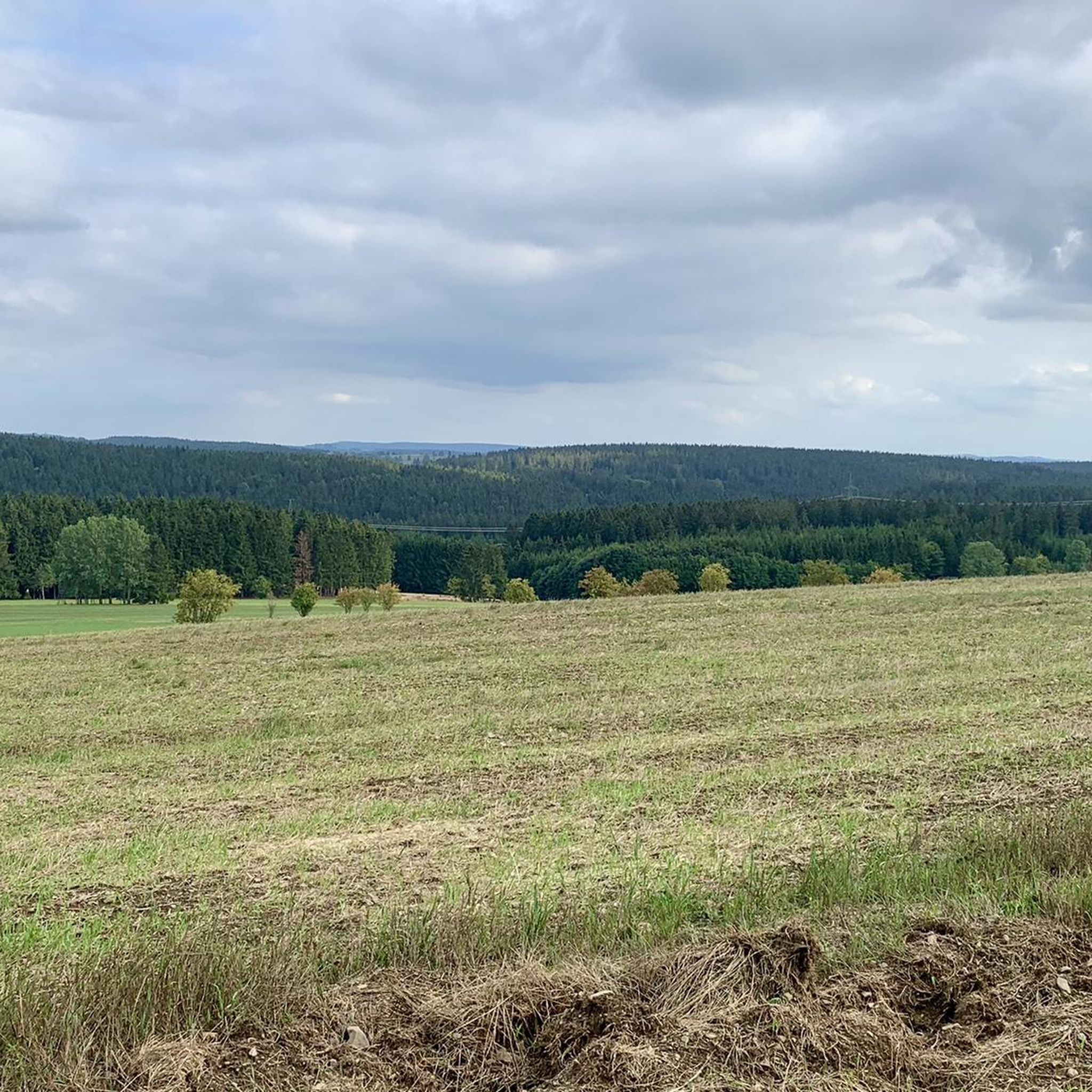
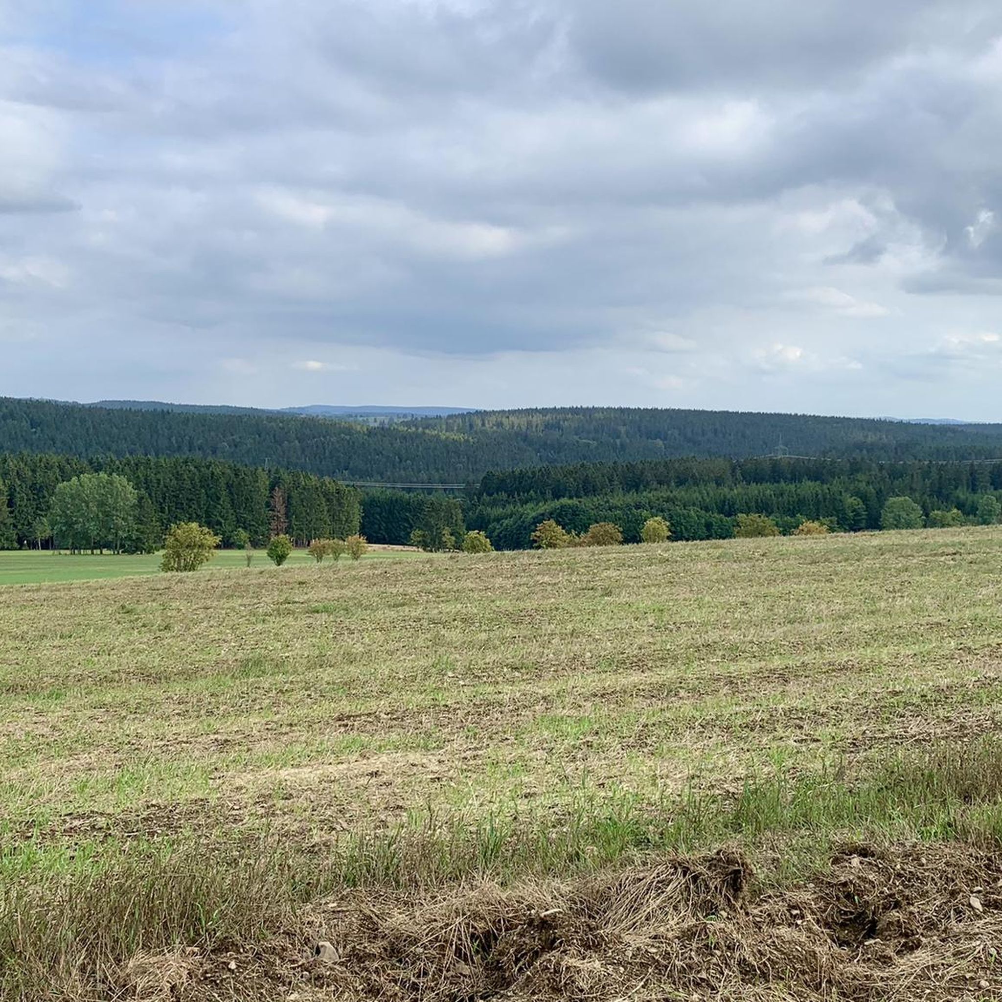
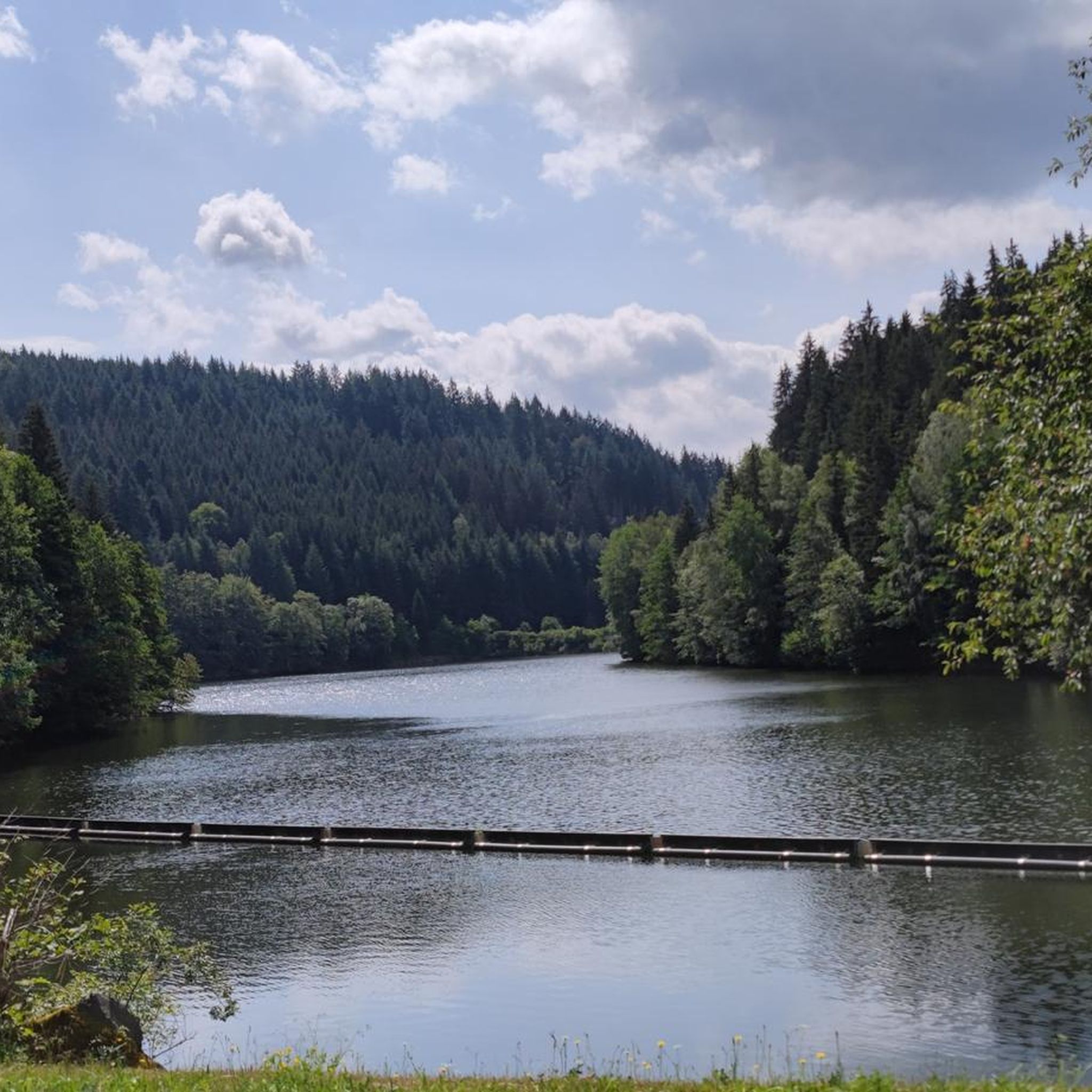
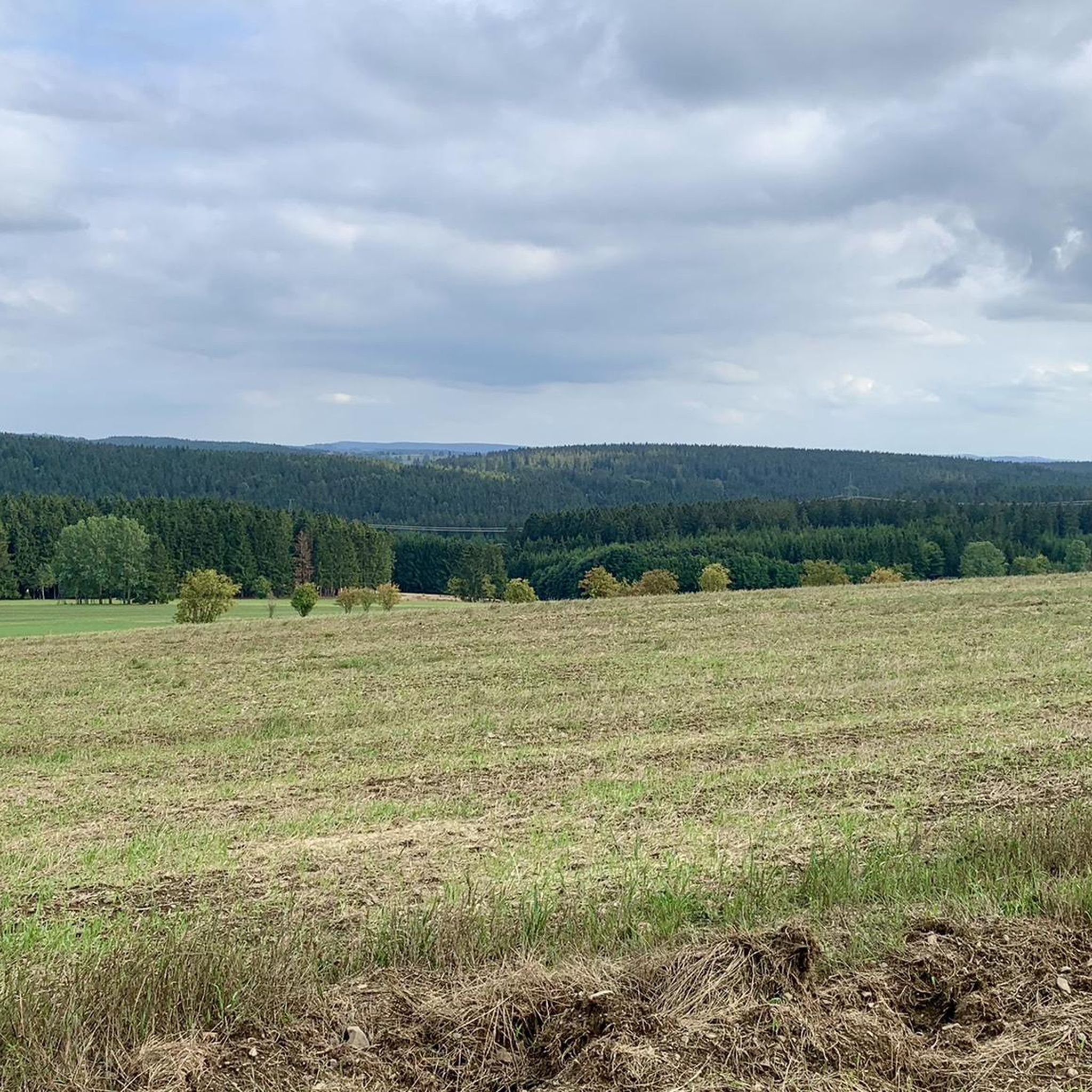
Other adventures around Tschirn

Tips from the Community

An excellent cycle path on the former railway line. It's almost completely flat, free of potholes and uneven surfaces. The route is also relatively quiet, making it ideal for really picking up speed. The surrounding scenery is particularly charming. Overall, this cycle path is highly recommended.
0
0

This cycle path is also very beautiful.
2
0

The route climbs gently almost continuously, gaining a total elevation of 150 meters. Unfortunately, more and more forest disappears along the route.
1
0

Walking around the Ködel is like a day on vacation. You'll find shady and lovely sunny spots everywhere. Wonderful 👍
0
0

It goes 10 km uphill, but never steep
0
0

Great! Beautiful asphalt, beautiful nature.
0
0

This is a very beautiful bike path. You'll need to push yourself a bit towards Schwarzenbach am Wald, but going in the opposite direction, you can really relax and reach your destination almost the entire way without having to pedal.
0
0

A wonderful valley with a beautiful rocky landscape. Beautiful hiking trails run along both sides.
0
0
Frequently Asked Questions
How many gravel bike trails are available around Tschirn?
There are 5 gravel bike routes documented around Tschirn on komoot, offering diverse terrain within the Frankenwald Nature Park. These routes range from moderate to difficult, catering to various skill levels.
Are there any easy or beginner-friendly gravel bike trails in Tschirn?
While many routes in the region are challenging, the Ködel Reservoir – Ködeltalsperre East Shore loop from Tschirn is classified as moderate. This 30.3 km (18.8 mi) route offers a good option for those looking for a less strenuous ride, allowing you to enjoy the scenic beauty of the reservoir without extreme difficulty.
What are some of the longer gravel biking routes around Tschirn for experienced riders?
For those seeking a longer challenge, the Höllental along the Selbitz – Döbraberg loop from Erlabrück is a demanding 90.2 km (56.0 mi) route. Another excellent option is the Ködeltalsperre — Southern End – Ködel Dam loop from Titschendorf, which spans 57.0 km (35.4 mi) and offers impressive views of Bavaria's largest drinking water reservoir.
What kind of terrain can I expect on gravel bike trails in the Tschirn area?
The gravel bike trails around Tschirn are characterized by the varied terrain of the Frankenwald Nature Park. You can expect a mix of forest and meadow paths, unpaved segments, and well-maintained surfaces. The region features lush woodlands, picturesque rivers, and serene lakes, providing a diverse and engaging landscape for mixed-terrain cycling.
Are there any scenic viewpoints or natural landmarks along the gravel routes?
Yes, several routes offer stunning views and pass by notable landmarks. The Panorama Trail "Beautiful View" – Panorama Trail Lichtenberg loop from Langenbach is specifically designed for panoramic vistas. Additionally, the Höllental along the Selbitz – Rock Formations in Höllental loop from Silberstein features unique rock formations within the Höllental valley. You can also explore highlights like the Langesbühl Observation Tower or the Ködeltalsperre — Southern End.
What do other gravel bikers say about the trails in Tschirn?
The gravel biking routes in Tschirn are highly regarded by the komoot community, holding an average rating of 5.0 stars. Riders often praise the diverse landscapes, the immersive experience within the Frankenwald Nature Park, and the variety of trails suitable for different fitness levels.
Can I find loop routes for gravel biking around Tschirn?
Absolutely. All the featured gravel bike routes around Tschirn are designed as loops, allowing you to start and end your ride at the same point. Examples include the Höllental along the Selbitz – Rock Formations in Höllental loop from Silberstein and the Ködeltalsperre — Southern End – Ködel Dam loop from Titschendorf.
Are there any specific attractions or points of interest near the gravel biking trails?
Beyond the trails themselves, the region offers several points of interest. You can visit the Lehesten Slate Quarry Industrial Heritage Site, explore the Dürrenwaid Slate Heap, or see the impressive Ködel Reservoir Water Intake Tower. These highlights add cultural and natural depth to your biking adventure.
What is the best time of year for gravel biking in Tschirn?
The Frankenwald Nature Park, where Tschirn is located, is beautiful throughout the warmer months. Spring and autumn offer pleasant temperatures and vibrant scenery. While specific winter conditions aren't detailed, the varied terrain suggests that some paths might be more challenging or require different equipment during colder, potentially snowy, periods.
Where do the gravel bike routes typically start from in the Tschirn area?
The gravel bike routes around Tschirn typically start from nearby towns and villages that serve as convenient trailheads. For instance, routes begin from Silberstein, Titschendorf, Langenbach, Erlabrück, and Tschirn itself. These locations often provide access to the extensive network of paths within the Frankenwald Nature Park.
Are there any routes that explore the Ködeltalsperre (Ködel Dam)?
Yes, the Ködeltalsperre, Bavaria's largest drinking water reservoir, is a prominent feature in the region. The Ködeltalsperre — Southern End – Ködel Dam loop from Titschendorf offers an excellent opportunity to explore this impressive body of water and its surroundings, providing scenic views and a rewarding ride.
Most popular attractions around Tschirn

Get inspired with the komoot mobile app


Explore more
Browse the best Gravel rides in other regions.
